Sohr-Berghaus Hand-Atlas,
7e druk (1878-1886) en 8e druk (1888-1895)
See below for (a summary of) this text in English.
Hieronder staan enkele kaarten van de 7e druk (1883) en de 8e druk (1892) van Sohr-Berghaus Hand-Atlas ter vergelijking naast elkaar. Daarbij horen ook de volgende pagina's
- Beschrijving van de 8e druk van de atlas
- Plaatjes van de 8e druk van de atlas
- Tabellen en lijsten bij de 8e druk van de atlas
en
- Beschrijving van de 7e druk van de atlas
- Plaatjes van de 7e druk van de atlas
- Tabellen en lijsten bij de 7e druk van de atlas
Plaatjes
Klik op een plaatje voor een vergroting.
De nummers van de kaartbladen zijn die van de grote uitgave (100 kaarten).
Sohr-Berghaus Hand-Atlas,
7th edition (1878-1886) and 8th edition (1888-1895)
- Below are pictures of the 7th edition (1883) and 8th edition (1892) of
Sohr-Berghaus Hand-Atlas side by side for comparison purposes. Related pages
- Description of the 8th edition of the atlas
- Pictures of the 8th edition of the atlas
- Tables and lists to the 8th edition of the atlas
- and
- Description of the 7th edition of the atlas
- Pictures of the 7th edition of the atlas
- Tables and lists to the 7th edition of the atlas
Pictures
Click on a picture to enlarge.
Sheet numbers as in comprehensive edition (100 map sheets).
Sterrenkunde, wereldkaarten
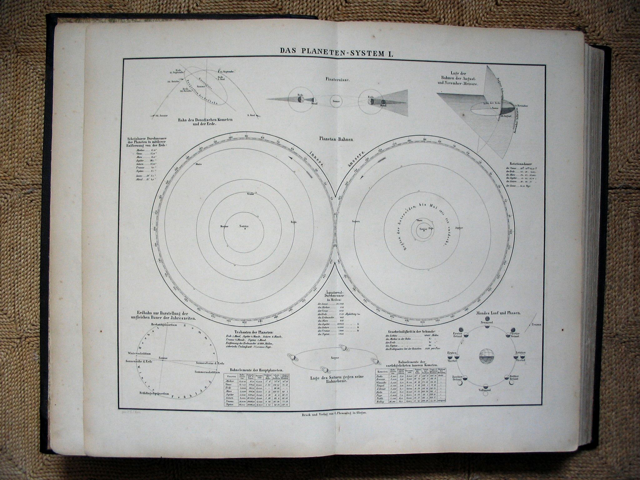 Sohr-Berghaus Hand-Atlas 1883
1. Zonnestelsel I / Solar system I
 Sohr-Berghaus Hand-Atlas 1892
1. Zonnestelsel I / Solar system I
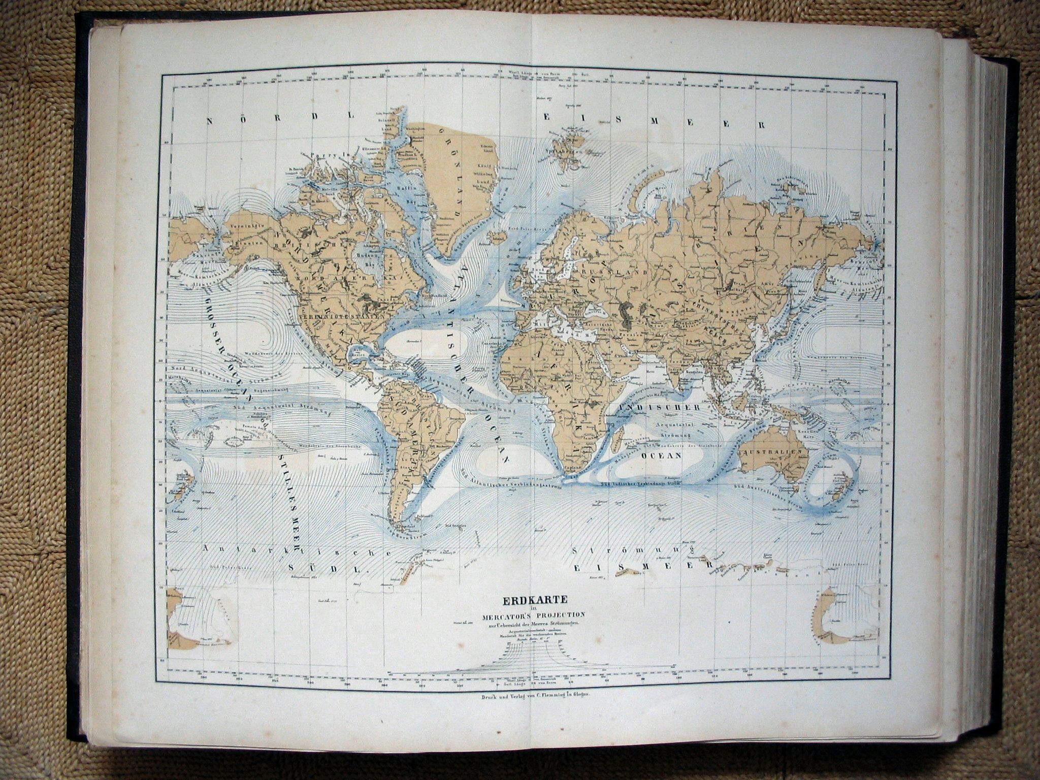 Sohr-Berghaus Hand-Atlas 1883
5. Wereldkaart / World map
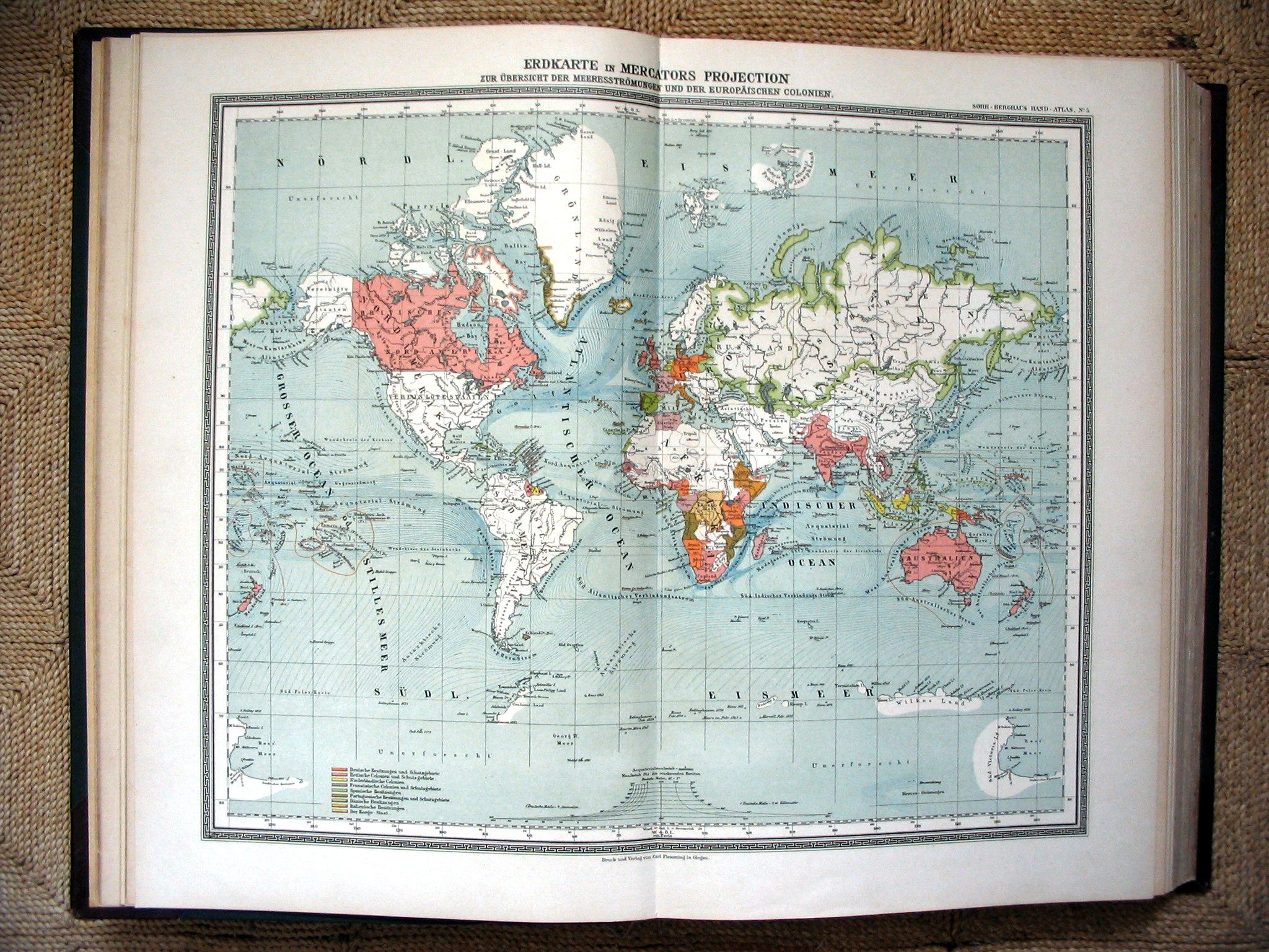 Sohr-Berghaus Hand-Atlas 1892
5. Wereldkaart / World map
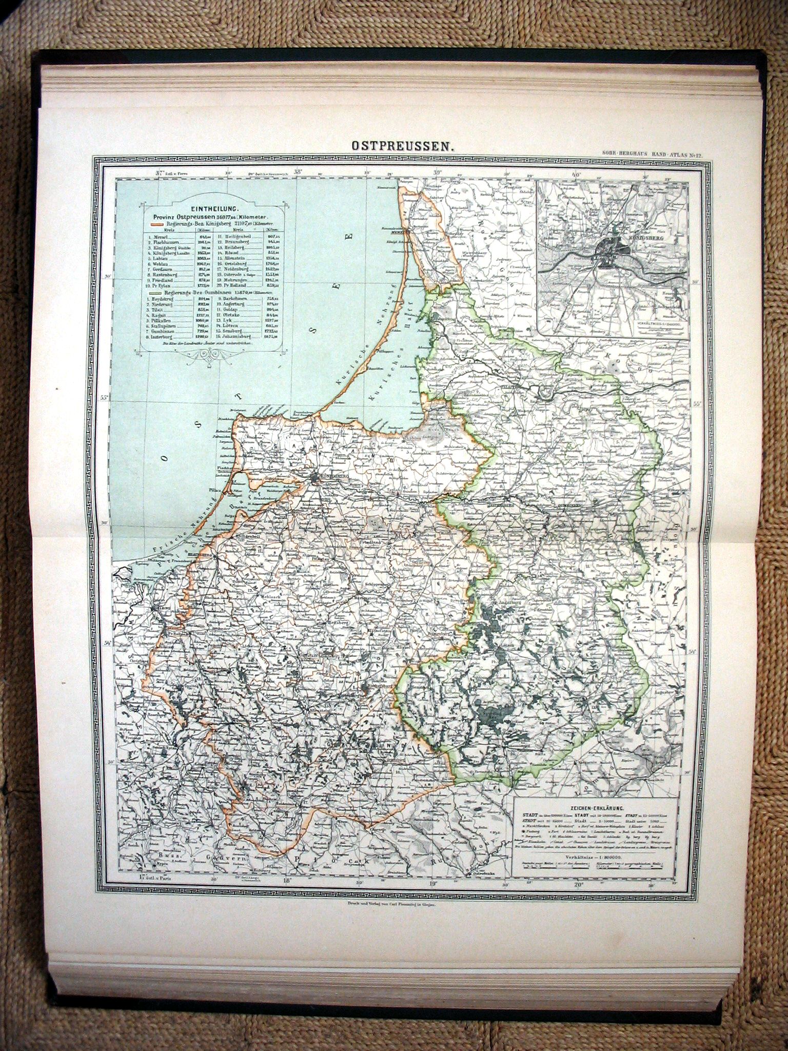
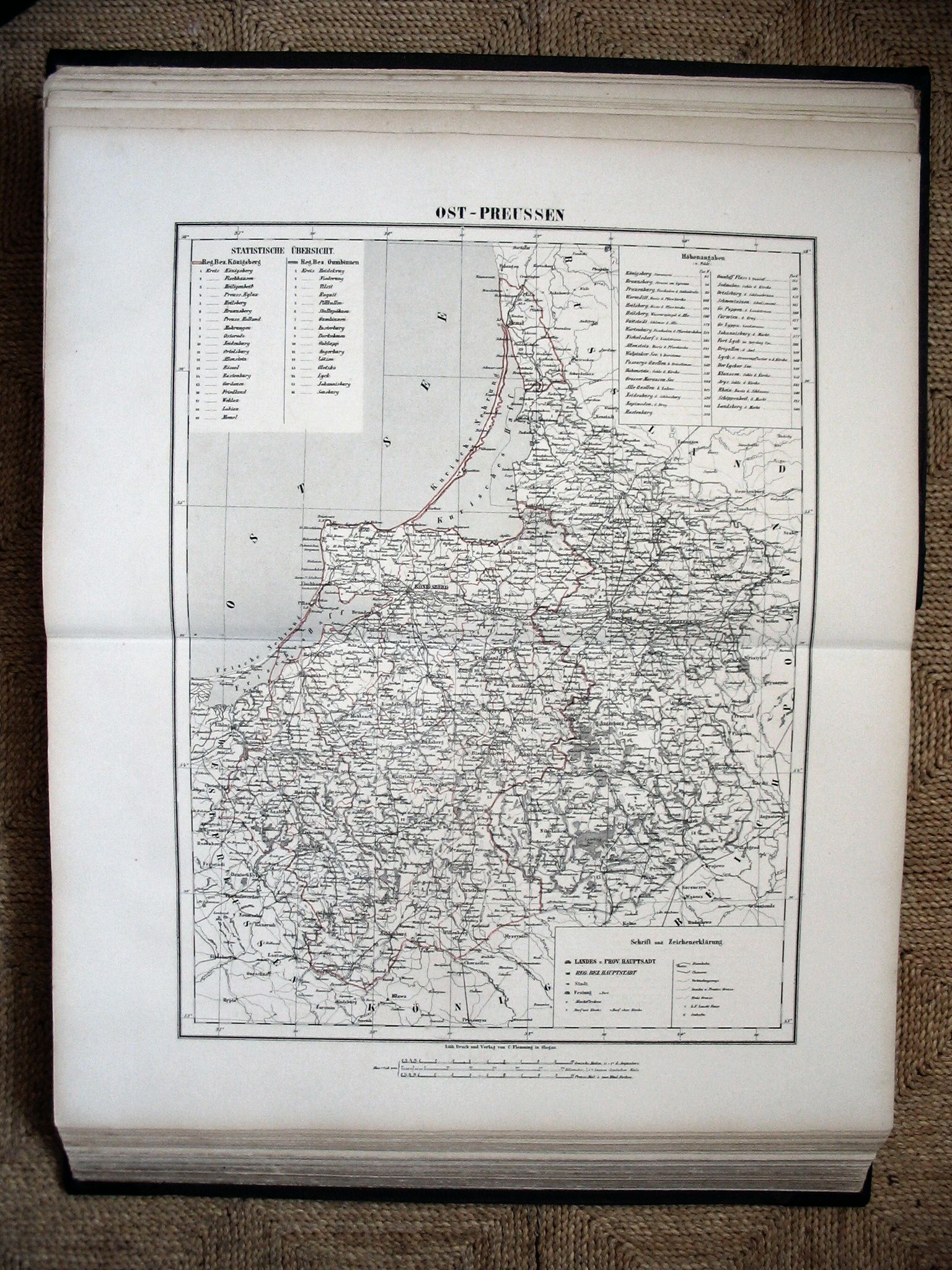 Sohr-Berghaus Hand-Atlas 1883
12. Oost-Pruisen / East Prussia
 Sohr-Berghaus Hand-Atlas 1892
12. Oost-Pruisen / East Prussia
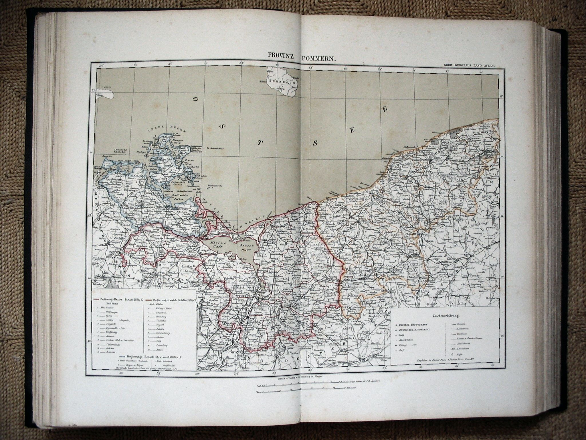 Sohr-Berghaus Hand-Atlas 1883
15. Pommeren / Pomerania
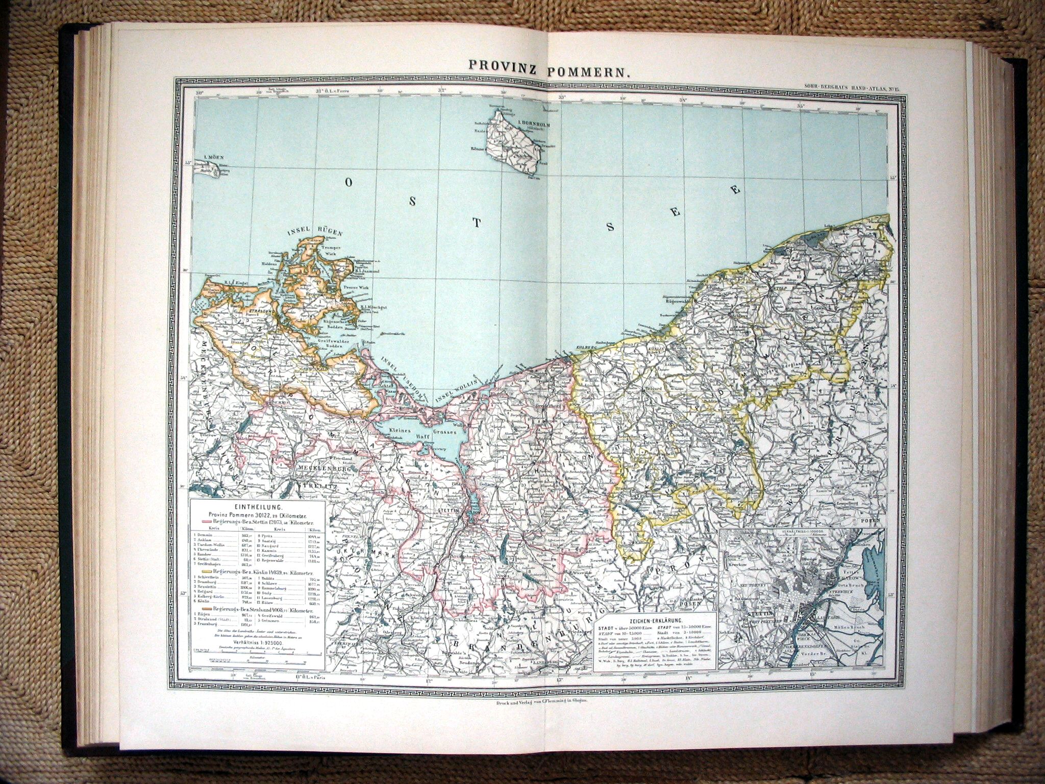 Sohr-Berghaus Hand-Atlas 1892
15. Pommeren / Pomerania
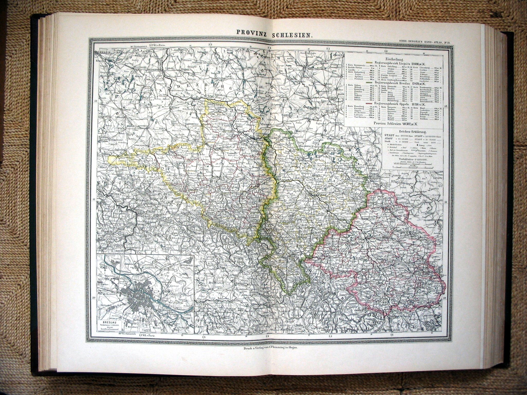
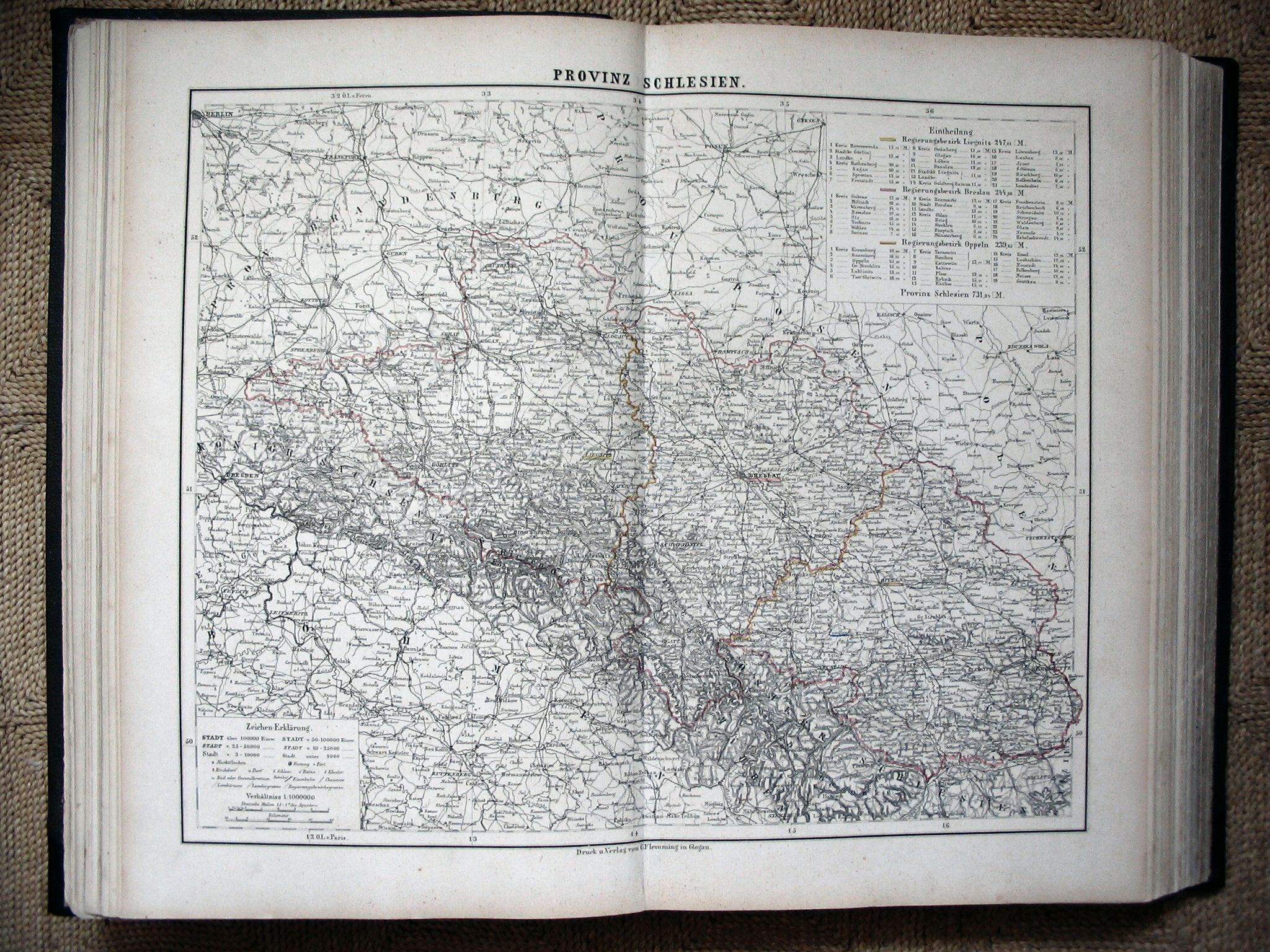 Sohr-Berghaus Hand-Atlas 1883
17. Silezië / Silesia
 Sohr-Berghaus Hand-Atlas 1892
17. Silezië / Silesia
 Sohr-Berghaus Hand-Atlas 1883
18. Provincie Saksen
18. Province of Saxony
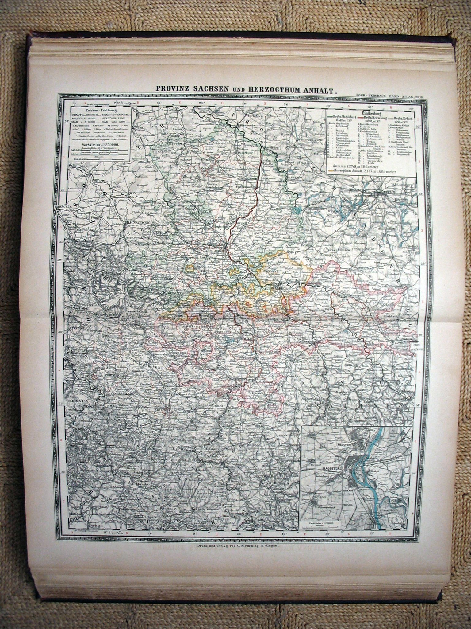 Sohr-Berghaus Hand-Atlas 1891
18. Provincie Saksen
18. Province of Saxony
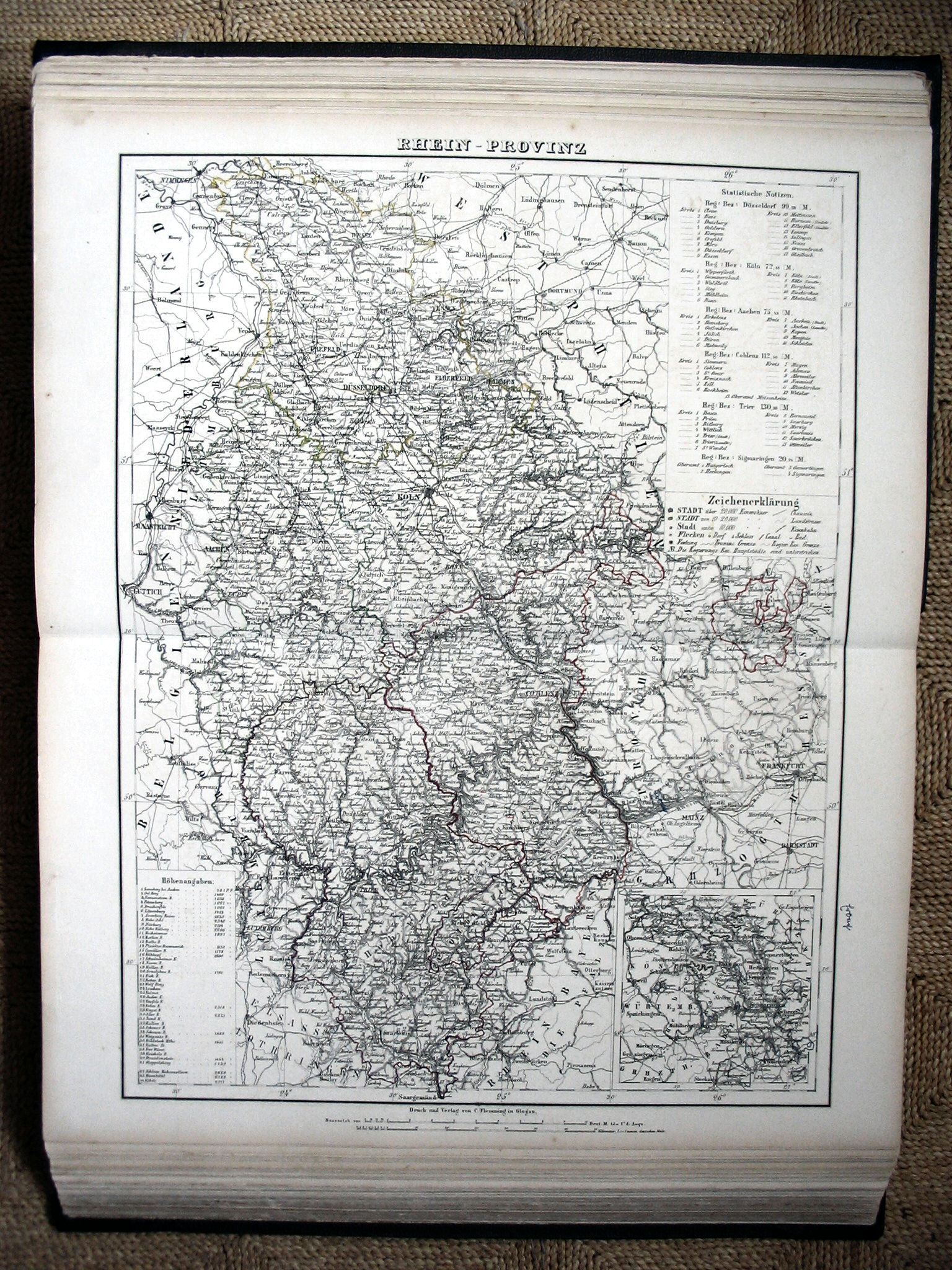 Sohr-Berghaus Hand-Atlas 1883
20. Rijnprovincie / Rhine Province
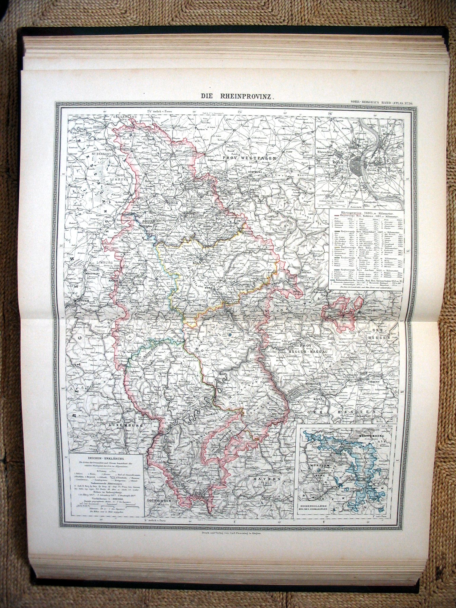 Sohr-Berghaus Hand-Atlas 1892
20. Rijnprovincie / Rhine Province
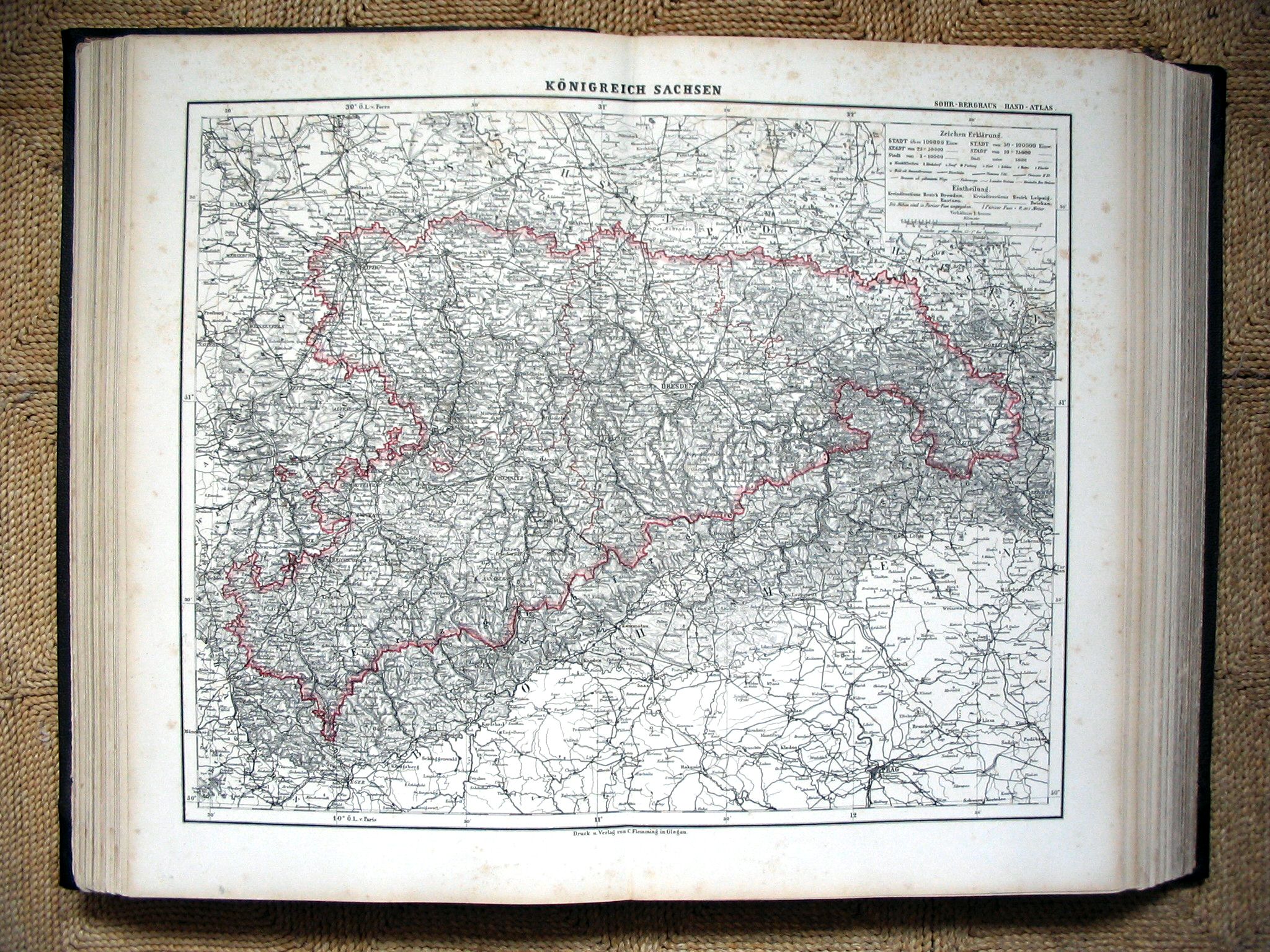 Sohr-Berghaus Hand-Atlas 1883
28. Koninkrijk Saksen / Kingdom of Saxony
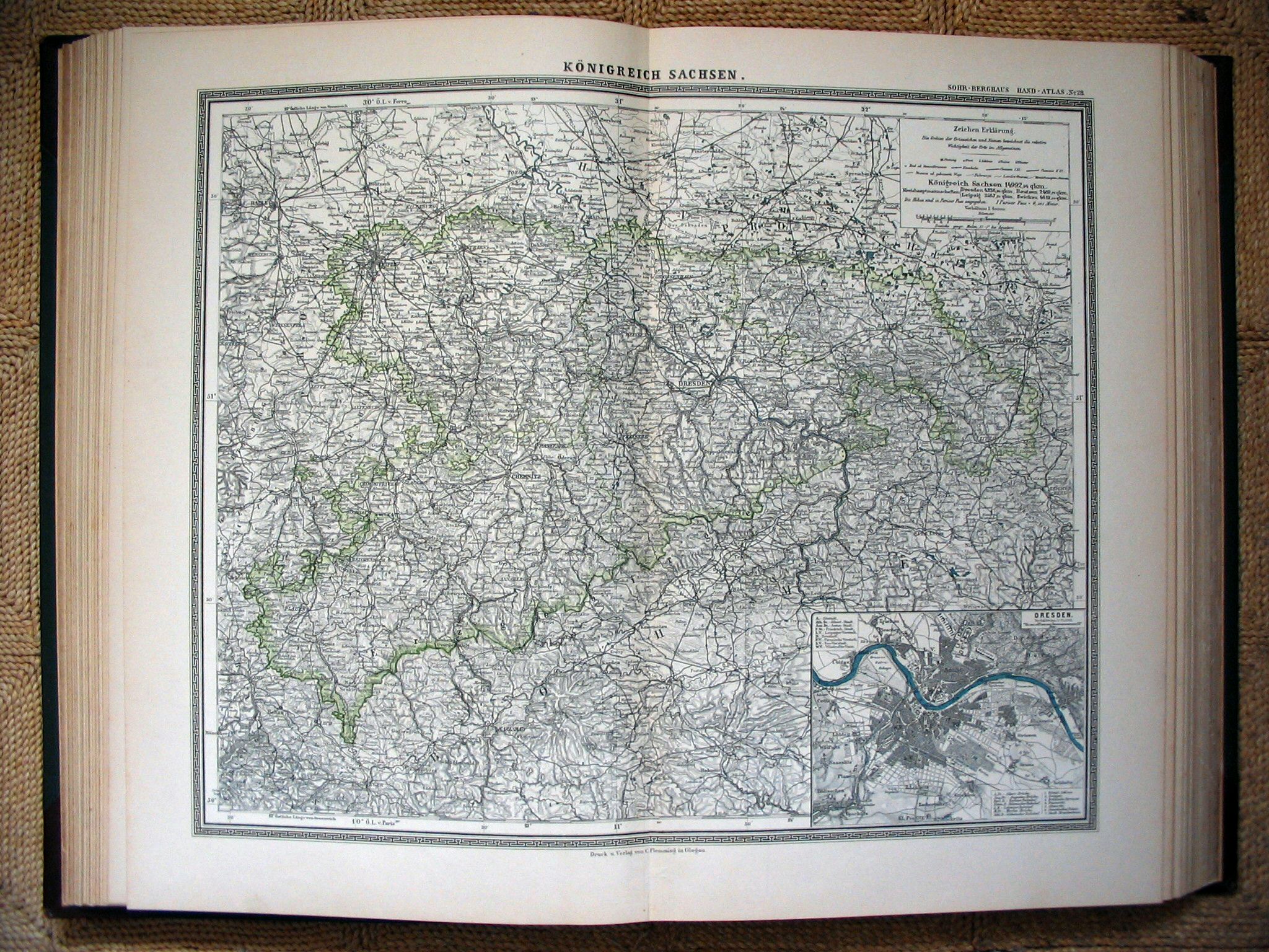 Sohr-Berghaus Hand-Atlas 1892
28. Koninkrijk Saksen / Kingdom of Saxony
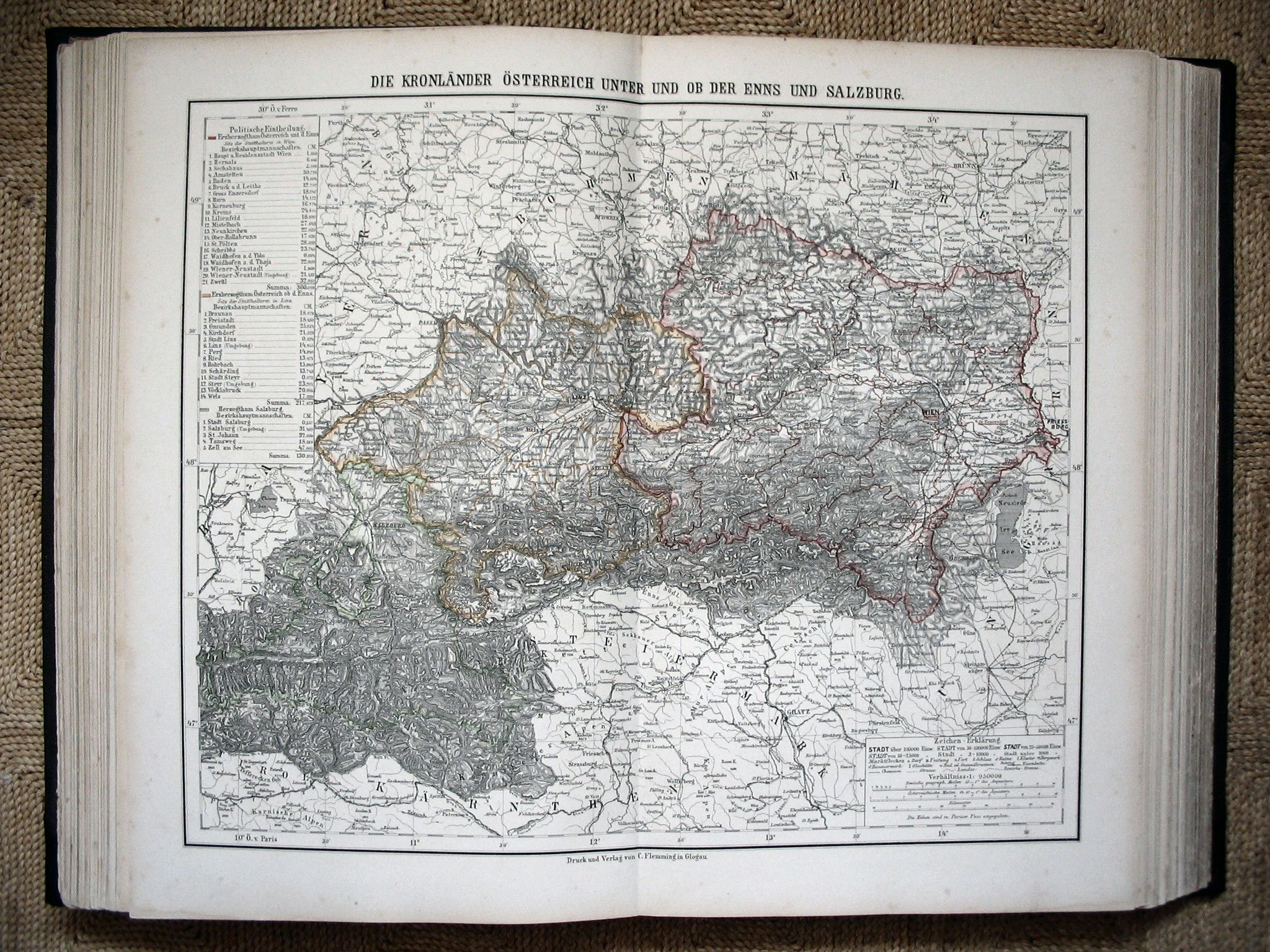 Sohr-Berghaus Hand-Atlas 1883
33. Midden-Oostenrijk / Central Austria
 Sohr-Berghaus Hand-Atlas 1892
33. Midden-Oostenrijk / Central Austria
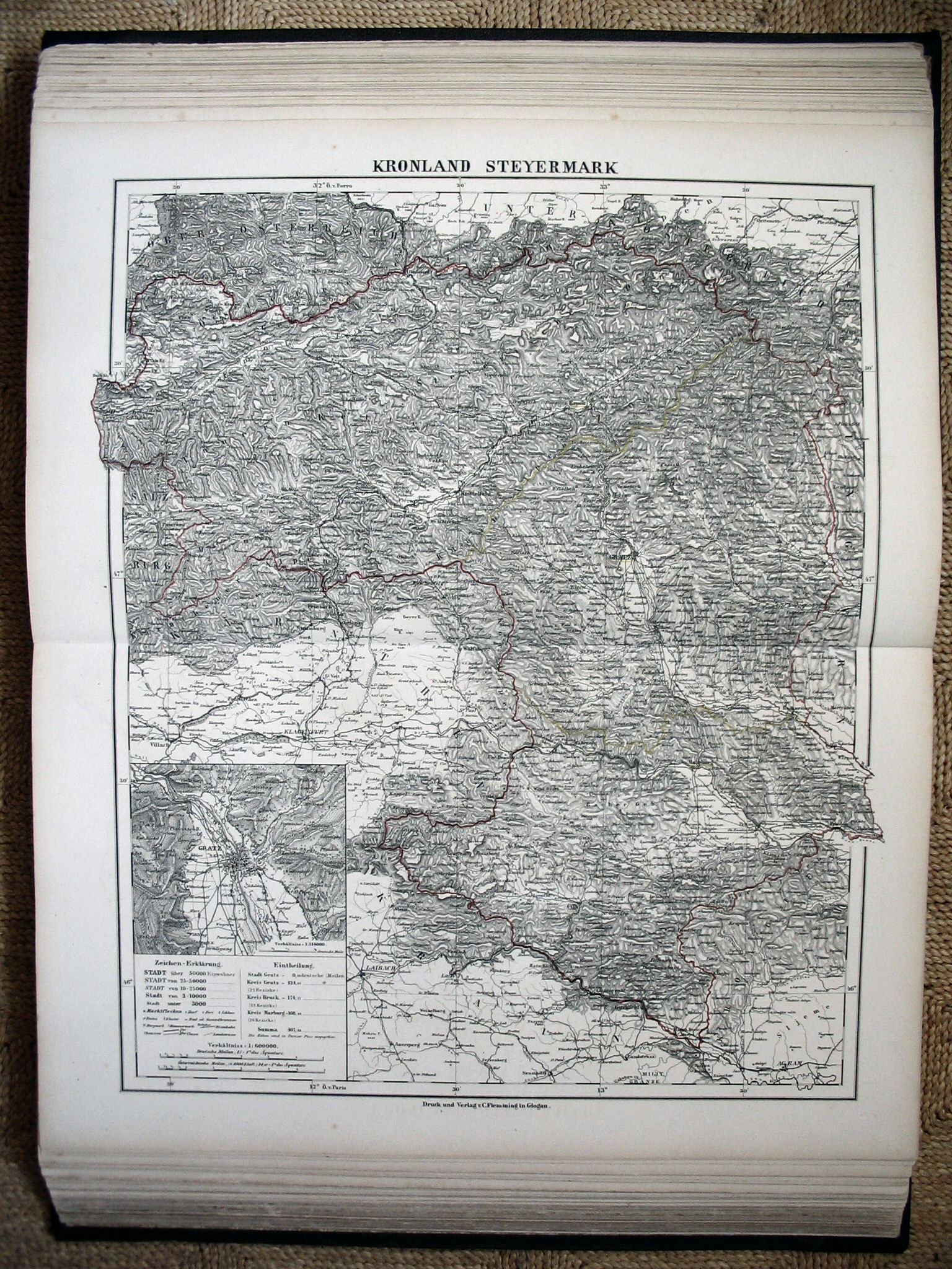 Sohr-Berghaus Hand-Atlas 1883
37. Stiermarken / Styria
 Sohr-Berghaus Hand-Atlas 1892
37. Stiermarken / Styria
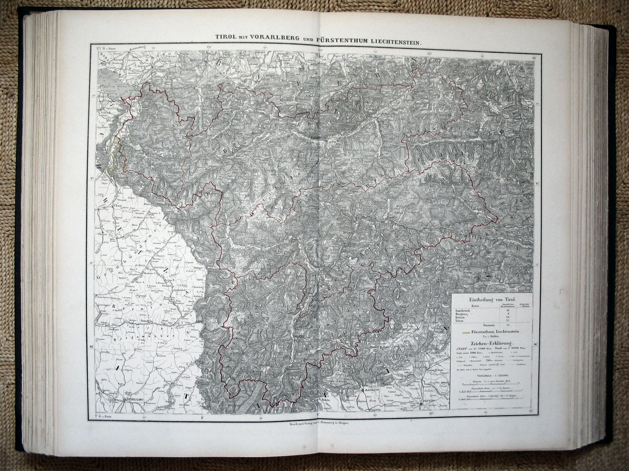 Sohr-Berghaus Hand-Atlas 1883
38. Tirol / Tyrol
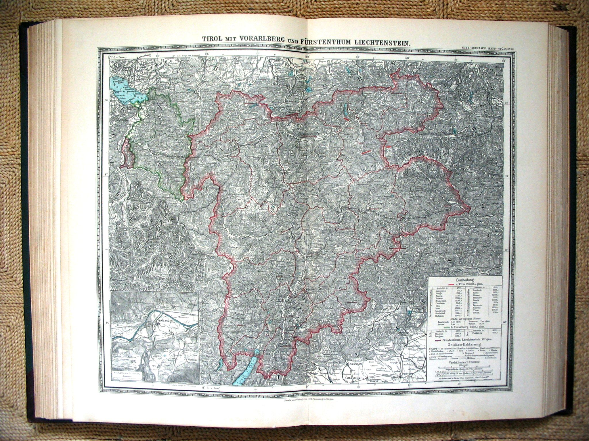 Sohr-Berghaus Hand-Atlas 1892
38. Tirol / Tyrol
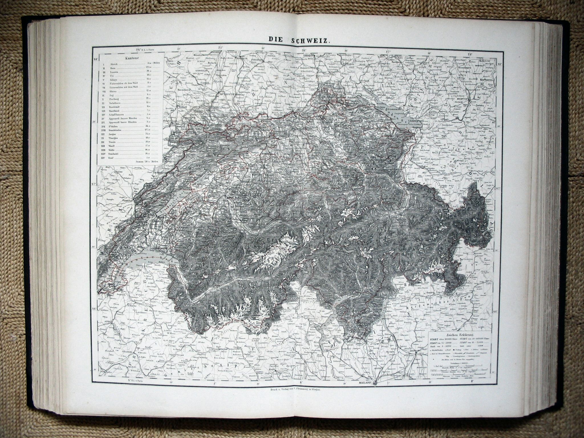 Sohr-Berghaus Hand-Atlas 1883
43. Zwitserland / Switzerland
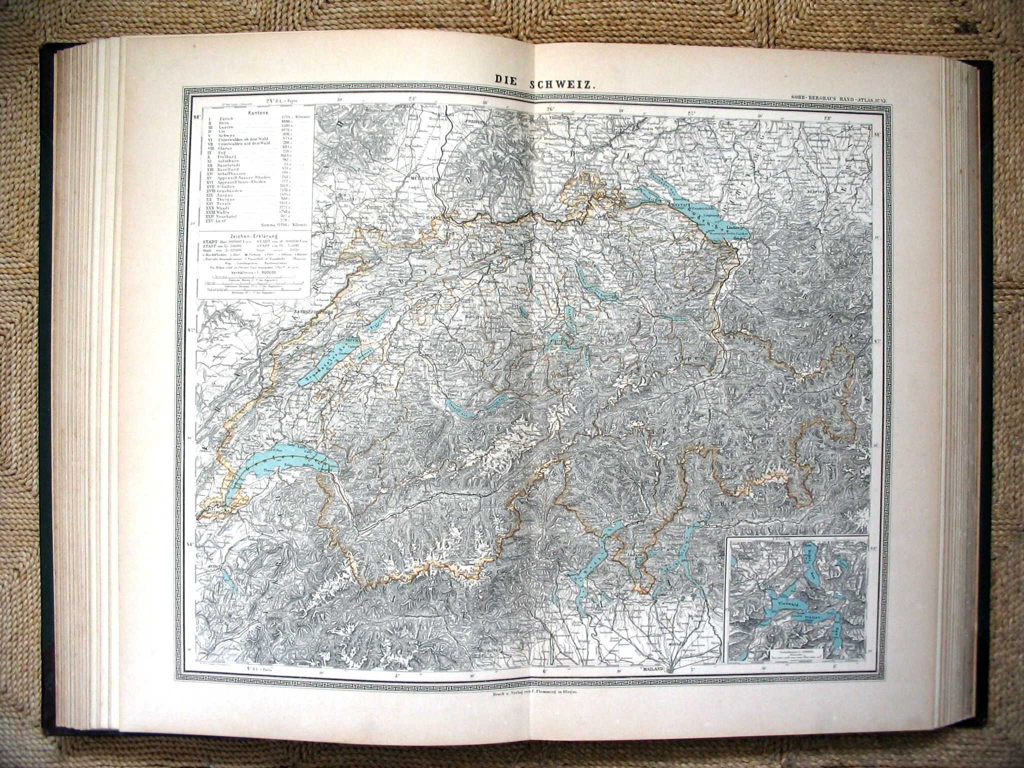 Sohr-Berghaus Hand-Atlas 1892
43. Zwitserland / Switzerland
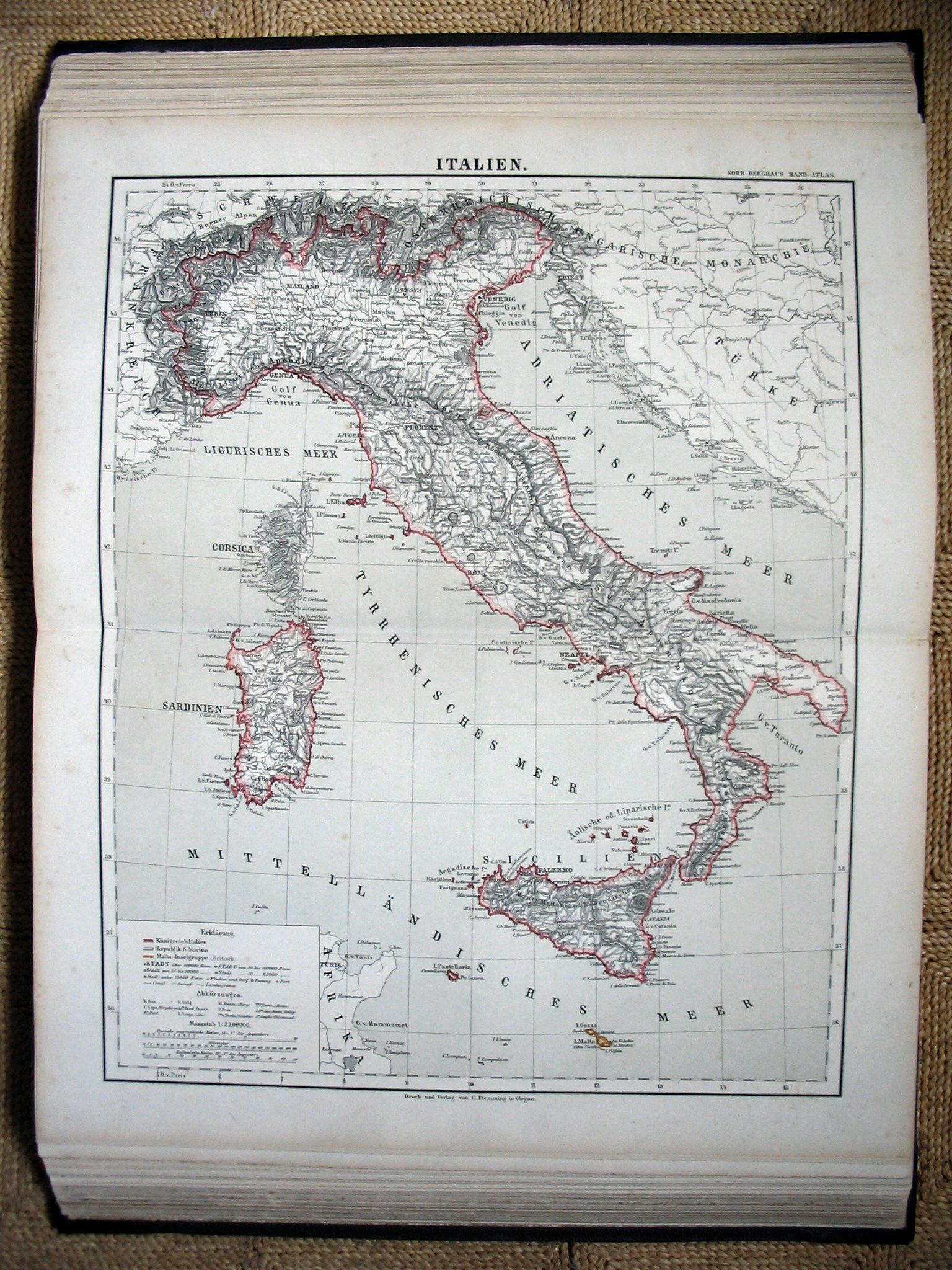 Sohr-Berghaus Hand-Atlas 1883
44. Italië / Italy
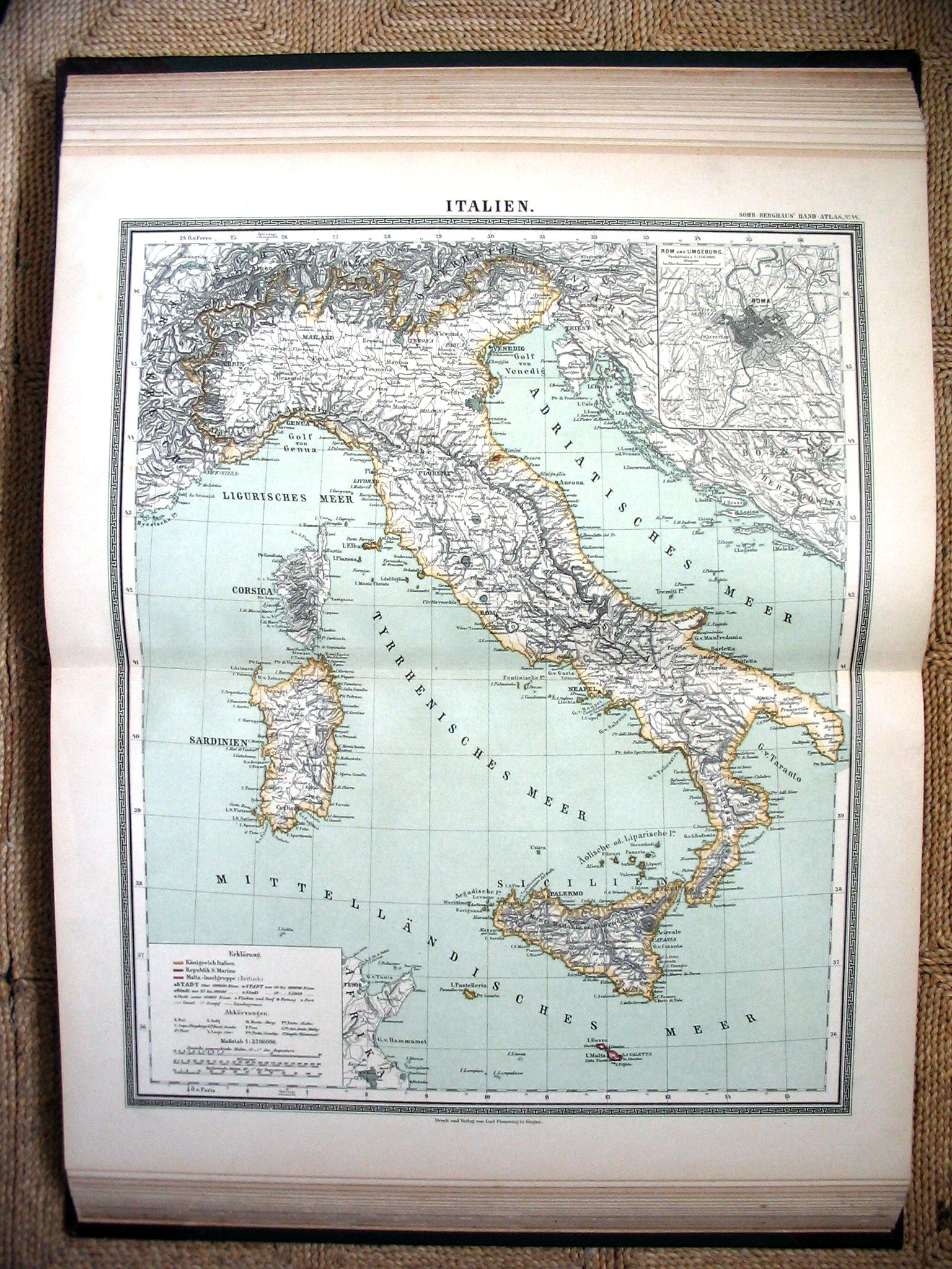 Sohr-Berghaus Hand-Atlas 1892
44. Italië / Italy
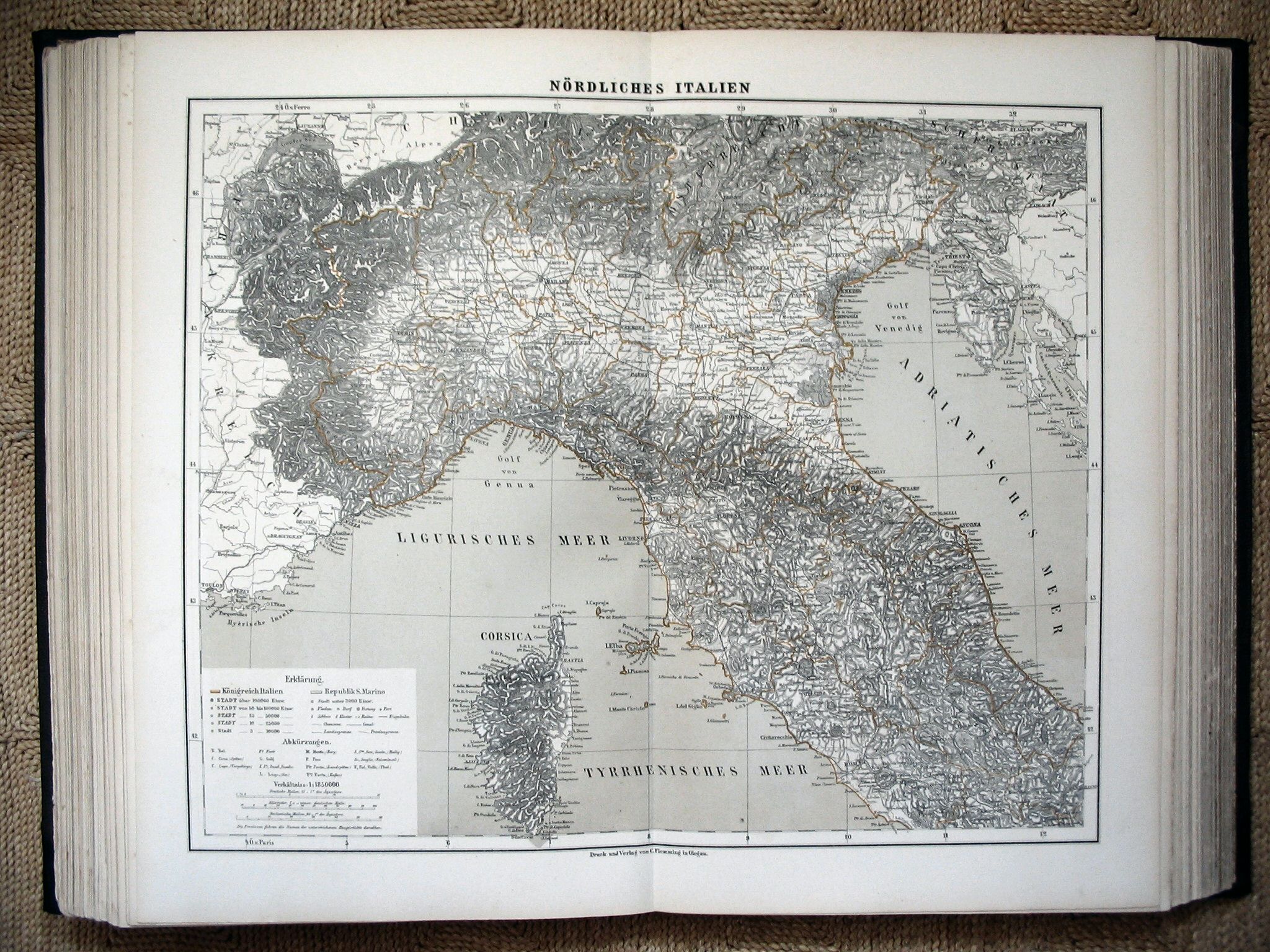 Sohr-Berghaus Hand-Atlas 1883
45. Noord-Italië / Northern Italy
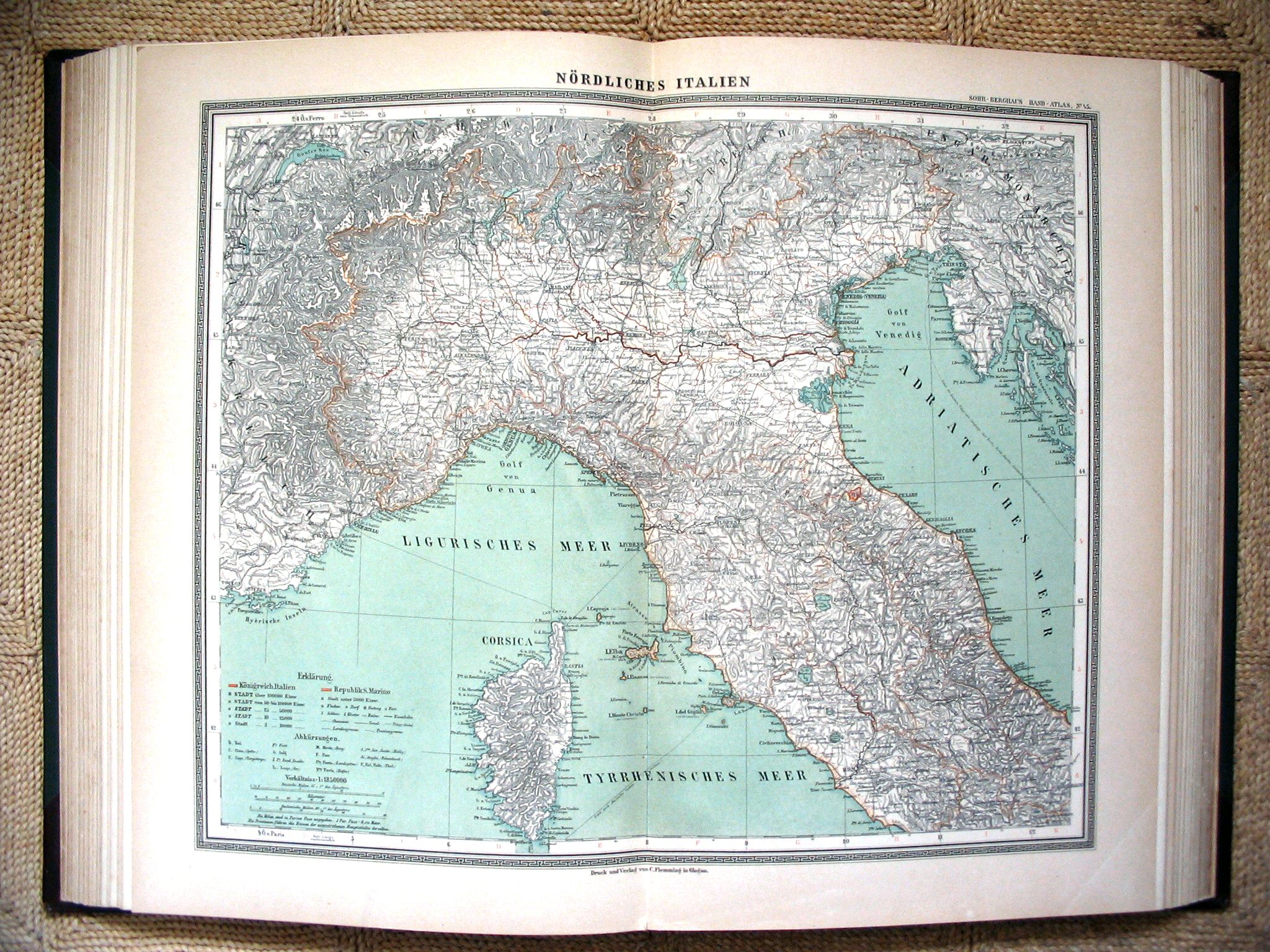 Sohr-Berghaus Hand-Atlas 1892
45. Noord-Italië / Northern Italy
 Sohr-Berghaus Hand-Atlas 1883
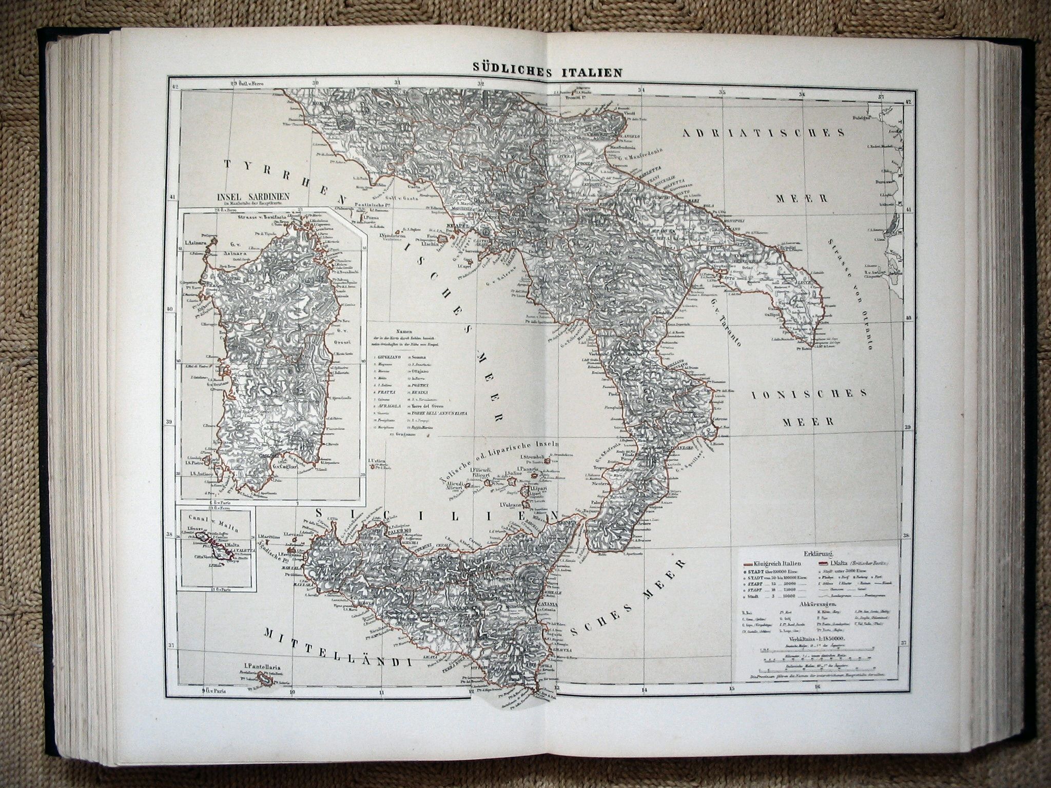
46. Zuid-Italië / Southern Italy
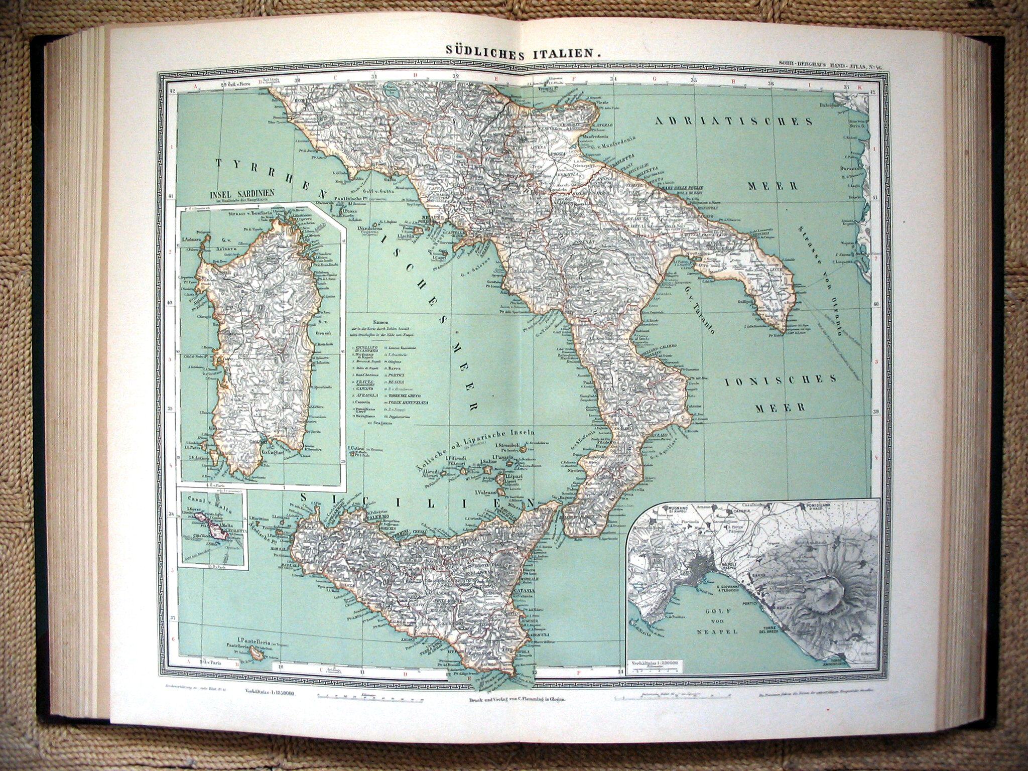 Sohr-Berghaus Hand-Atlas 1892
46. Zuid-Italië / Southern Italy
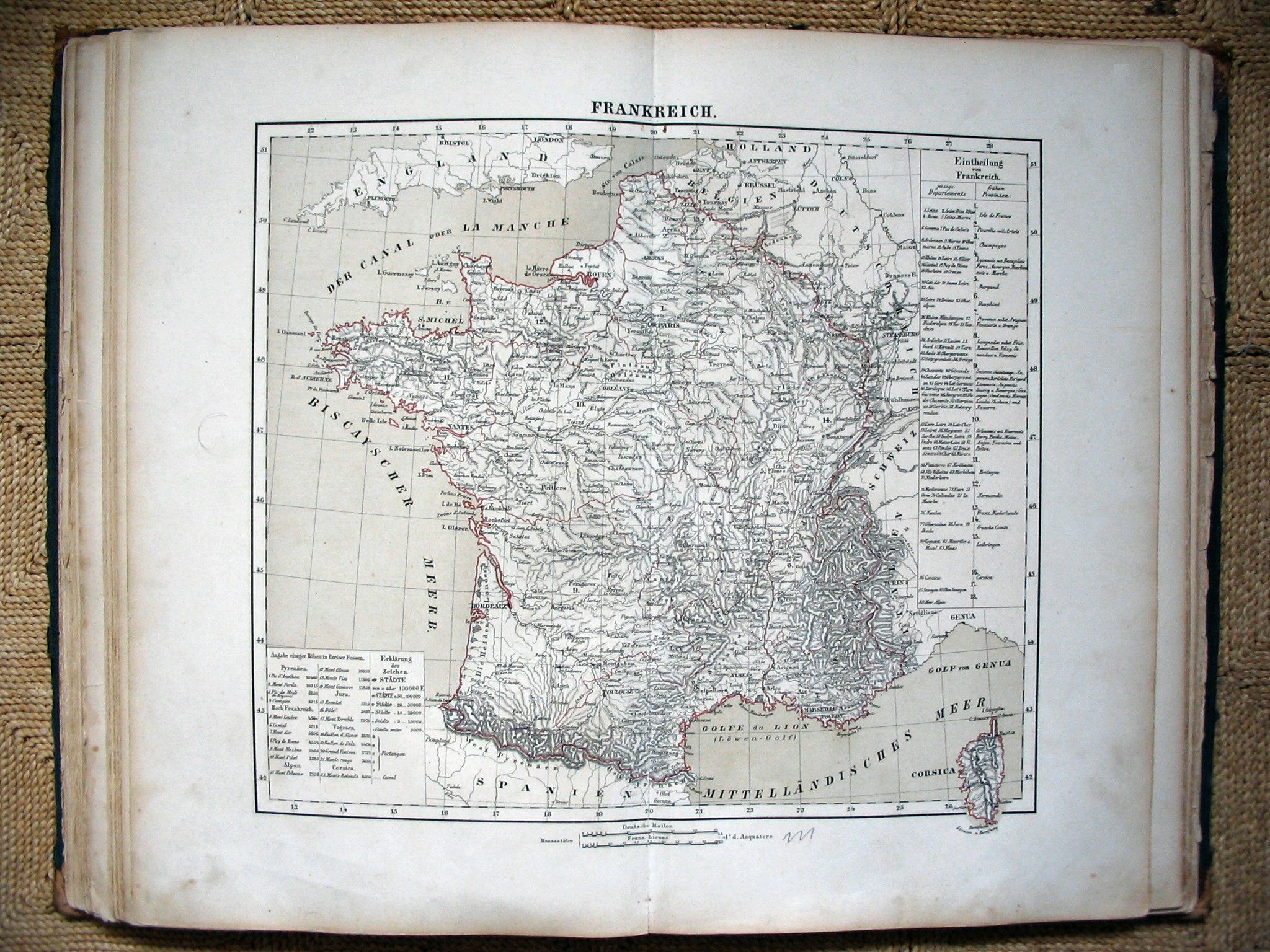 Sohr-Berghaus Hand-Atlas 1883
47. Frankrijk / France
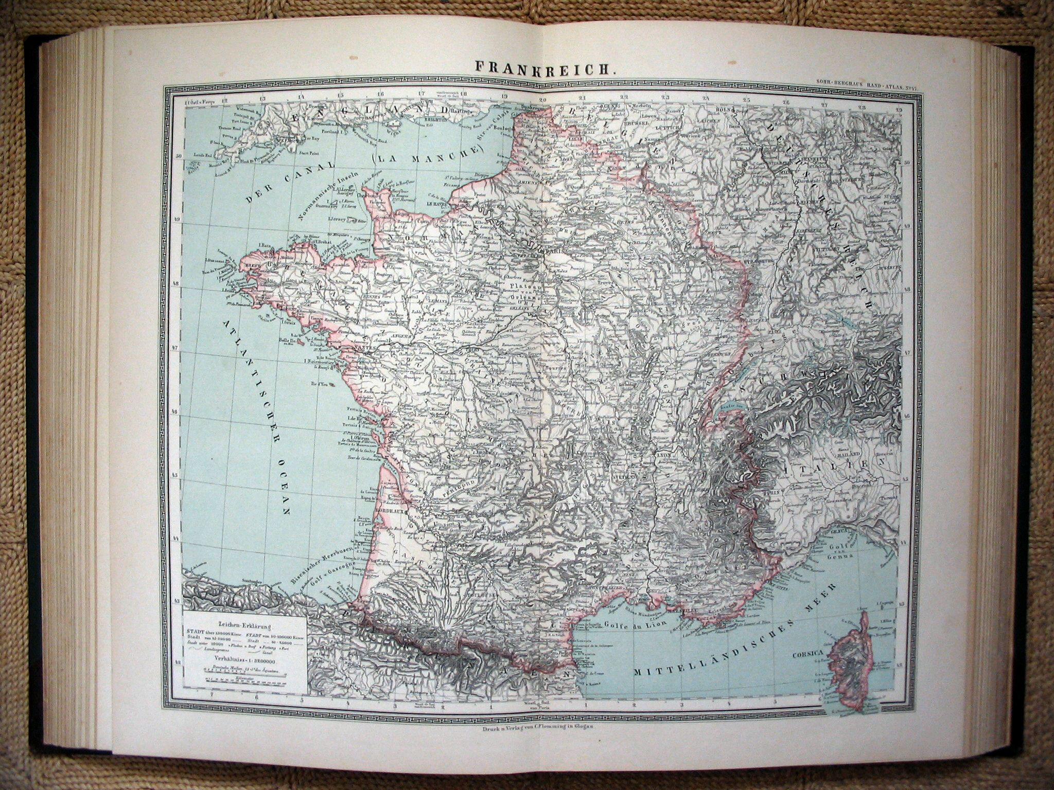 Sohr-Berghaus Hand-Atlas 1892
47. Frankrijk / France
 Sohr-Berghaus Hand-Atlas 1883
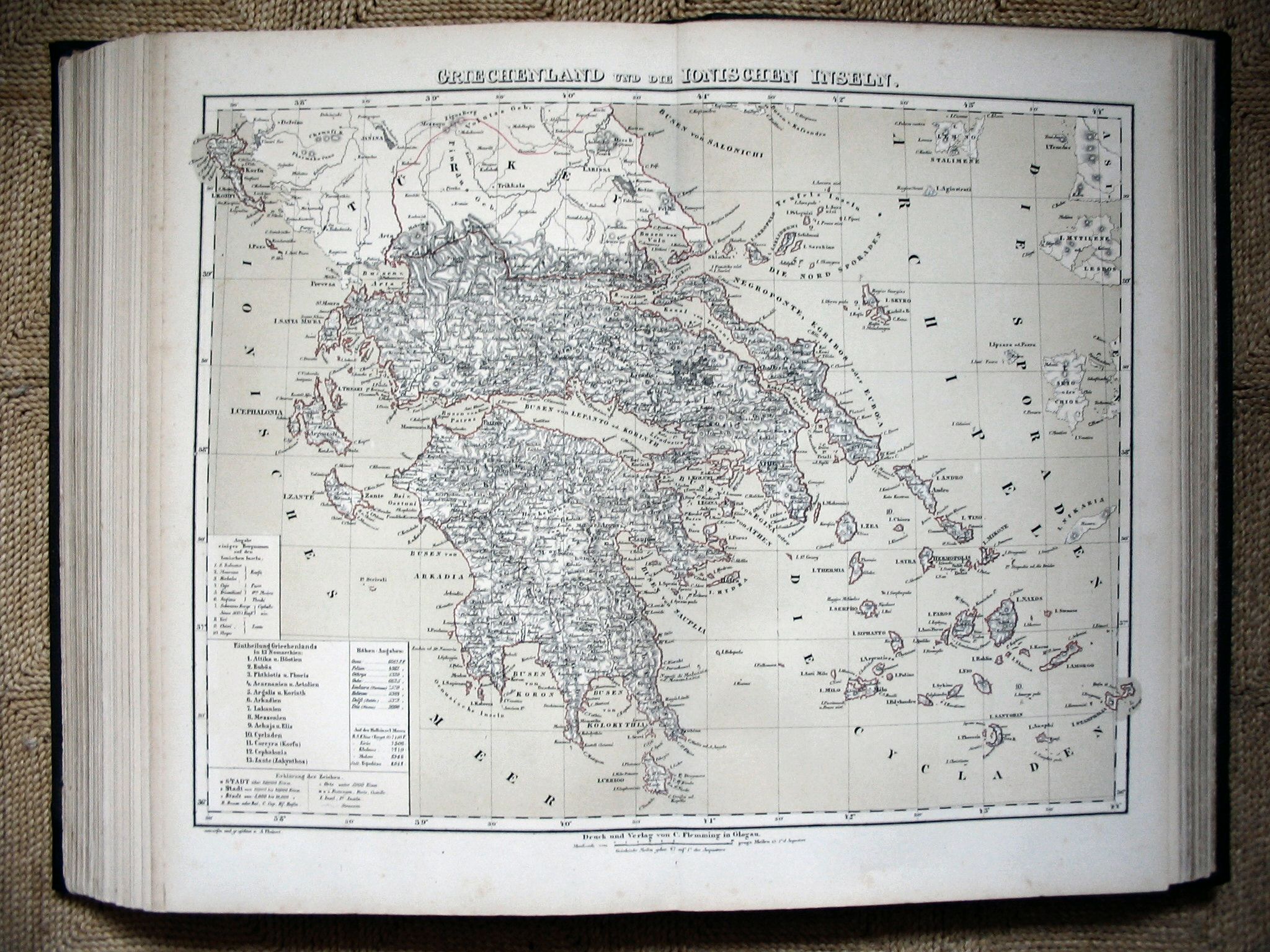
73. Griekenland / Greece
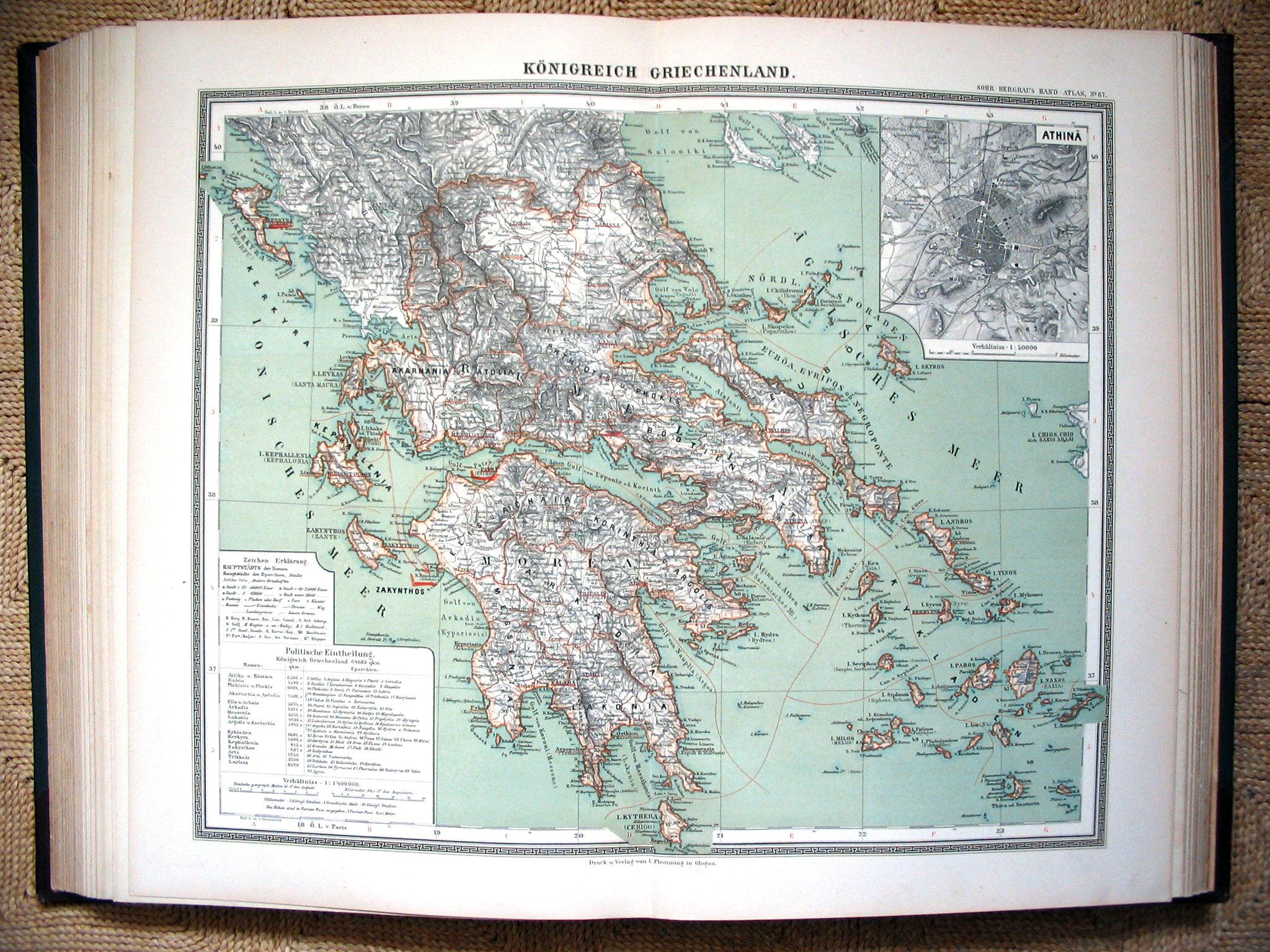 Sohr-Berghaus Hand-Atlas 1892
67. Griekenland / Greece
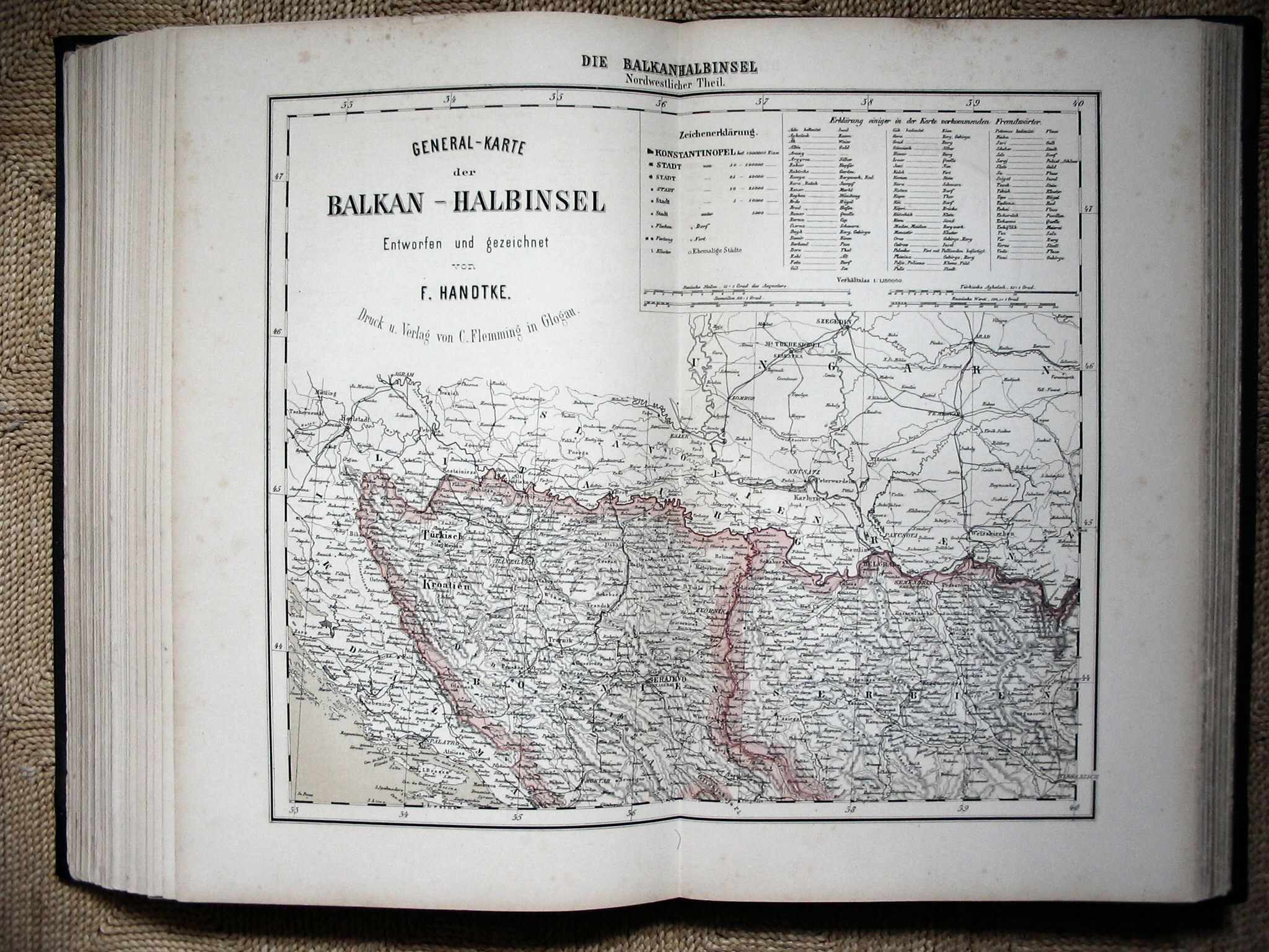 Sohr-Berghaus Hand-Atlas 1883
69. Balkan (NW)
 Sohr-Berghaus Hand-Atlas 1892
69. Balkan (NW)
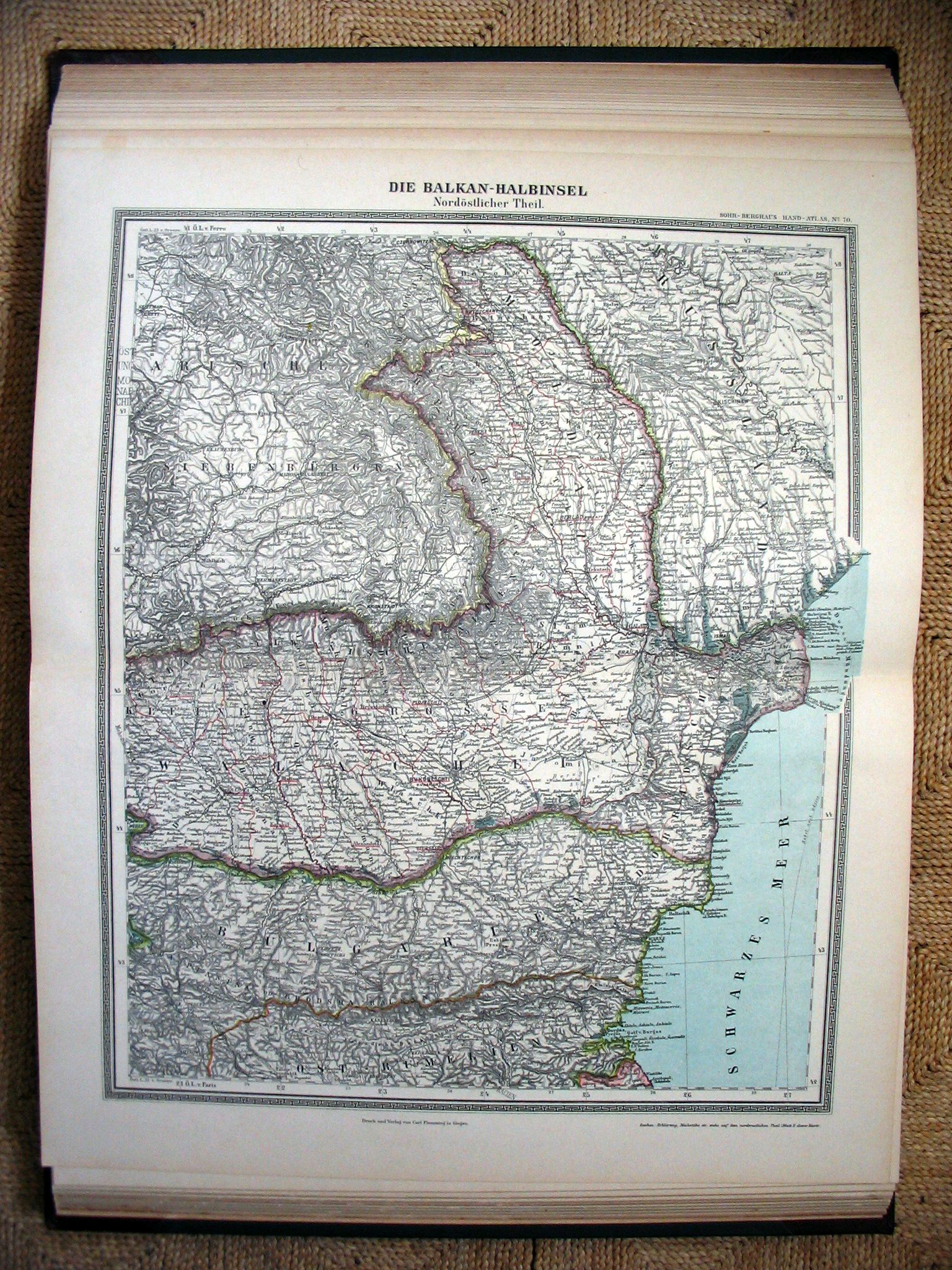
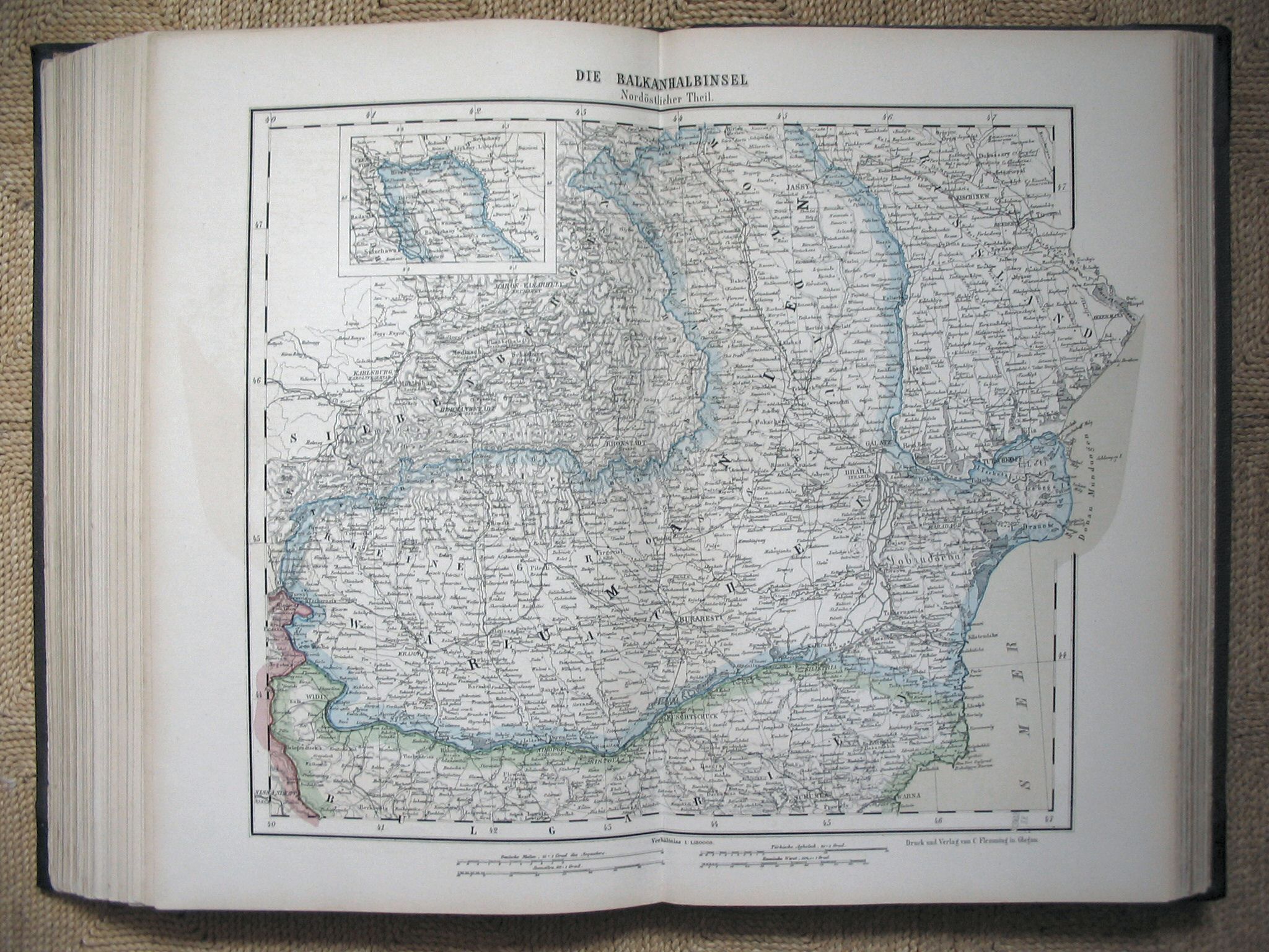 Sohr-Berghaus Hand-Atlas 1883
70. Balkan (NO)
 Sohr-Berghaus Hand-Atlas 1892
70. Balkan (NO)
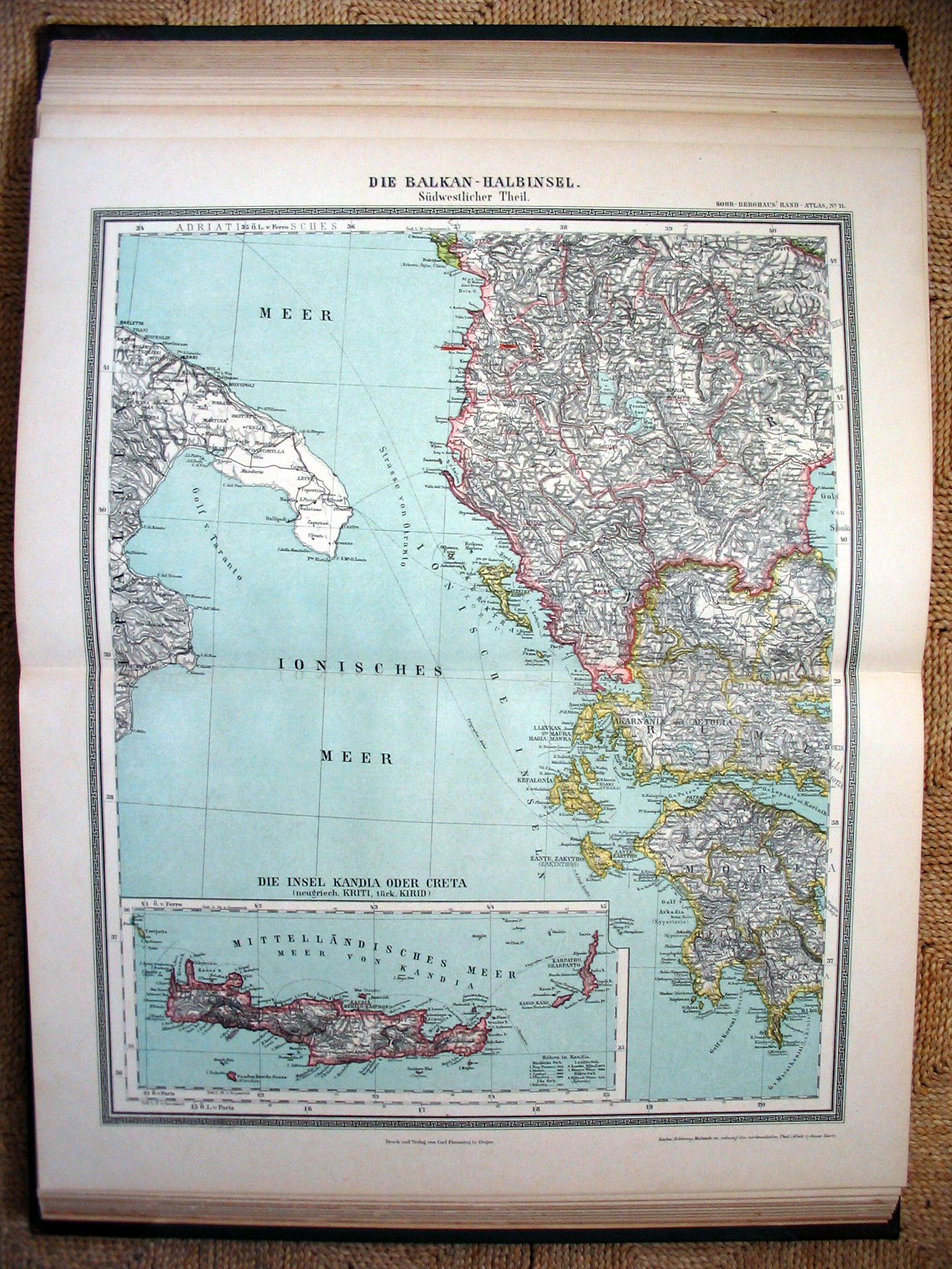
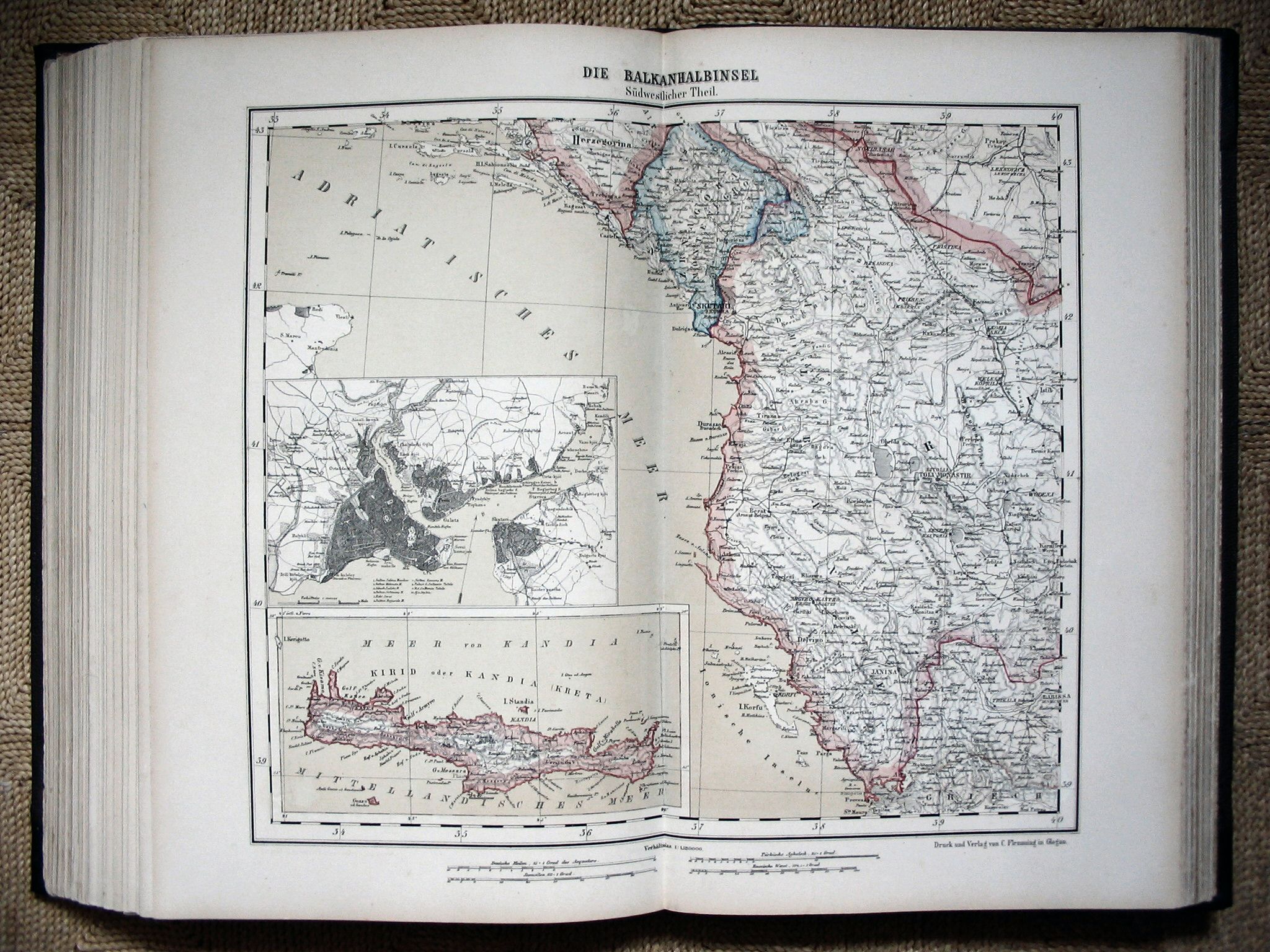 Sohr-Berghaus Hand-Atlas 1883
71. Balkan (ZW)
 Sohr-Berghaus Hand-Atlas 1892
71. Balkan (ZW)
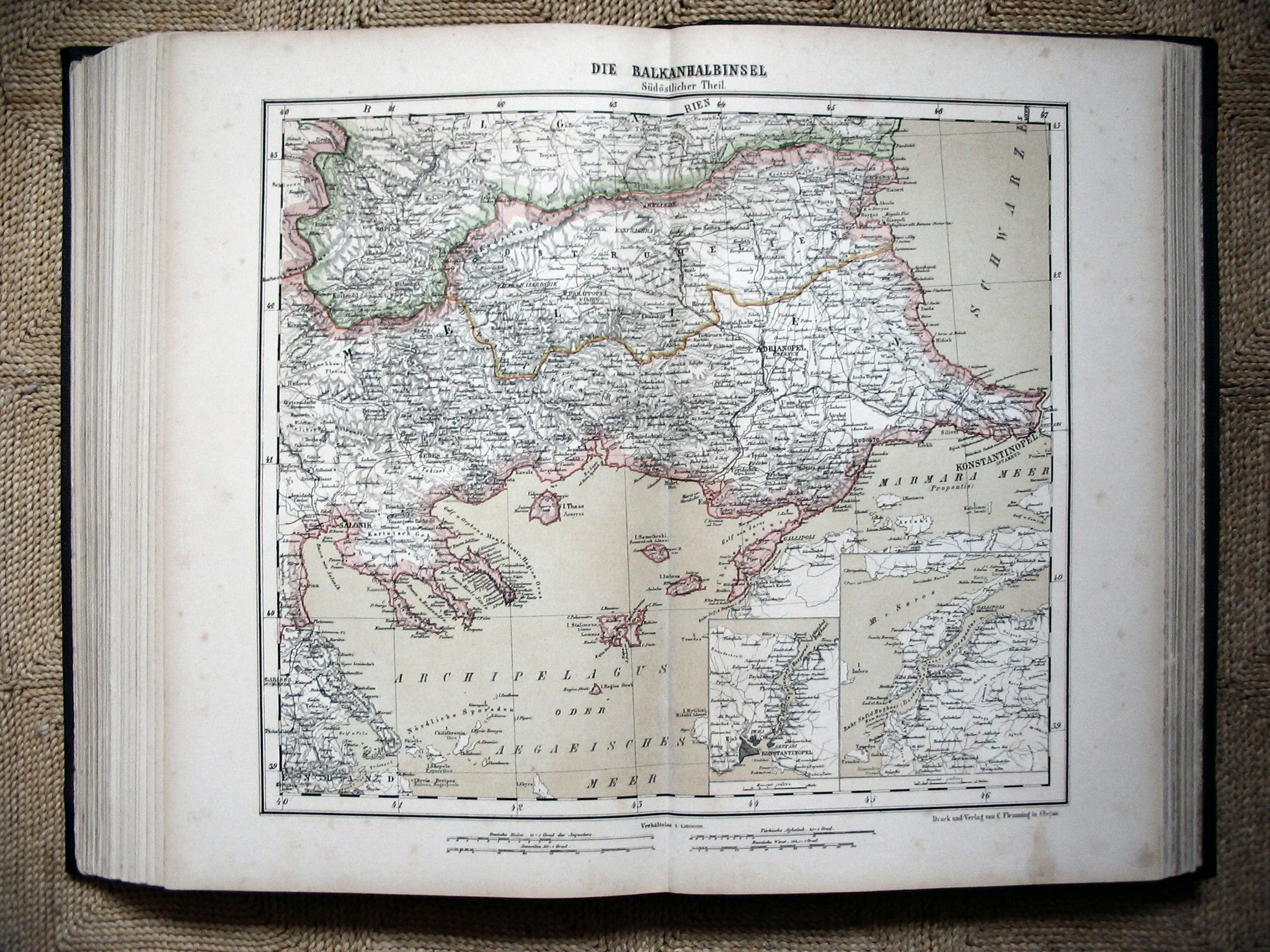 Sohr-Berghaus Hand-Atlas 1883
72. Balkan (ZO)
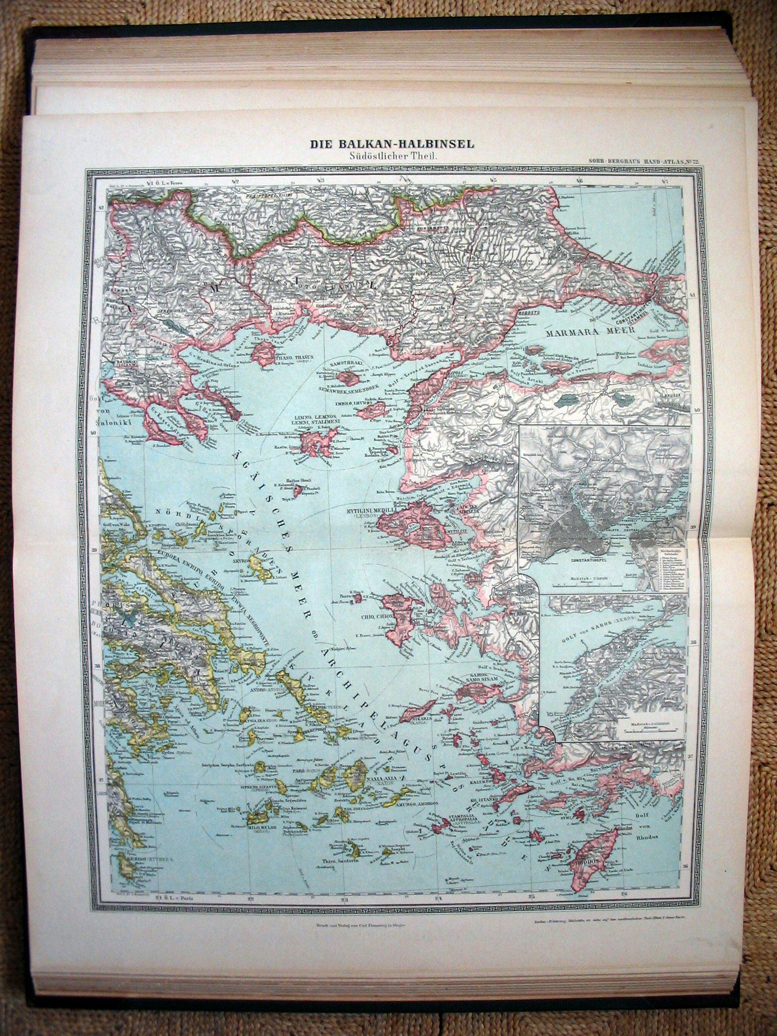 Sohr-Berghaus Hand-Atlas 1892
72. Balkan (ZO)
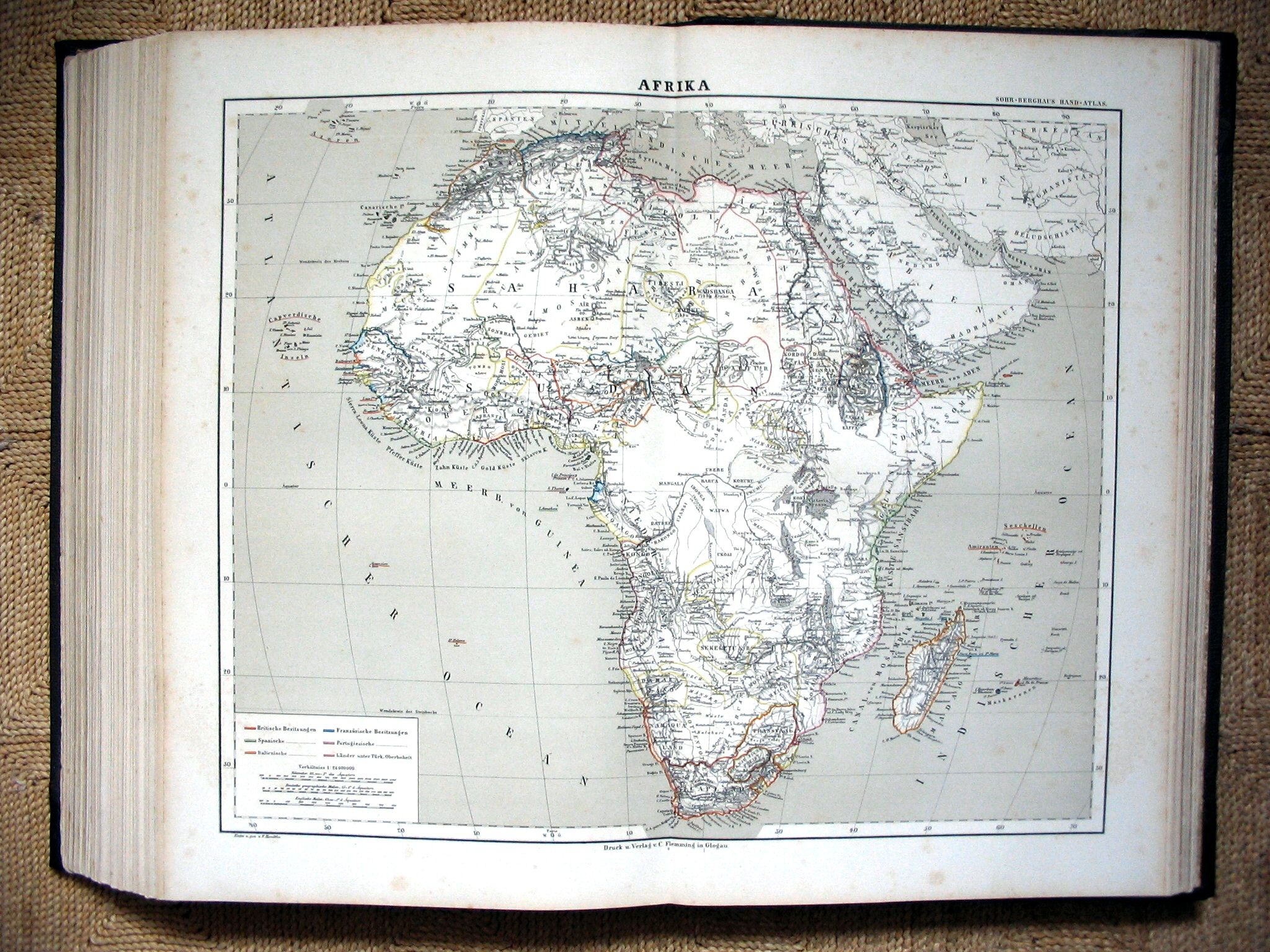 Sohr-Berghaus Hand-Atlas 1883
83. Afrika / Africa
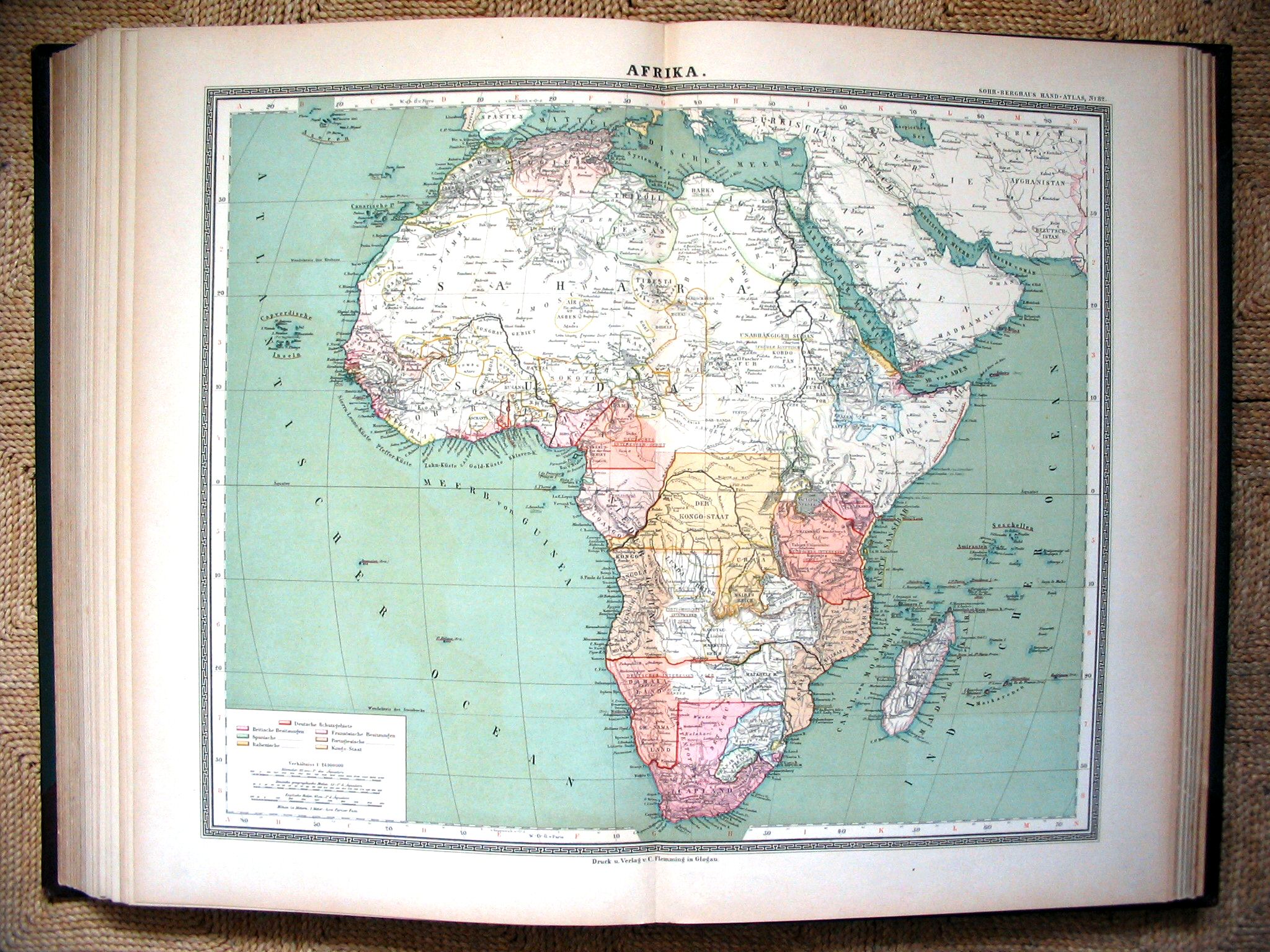 Sohr-Berghaus Hand-Atlas 1892
81. Afrika / Africa
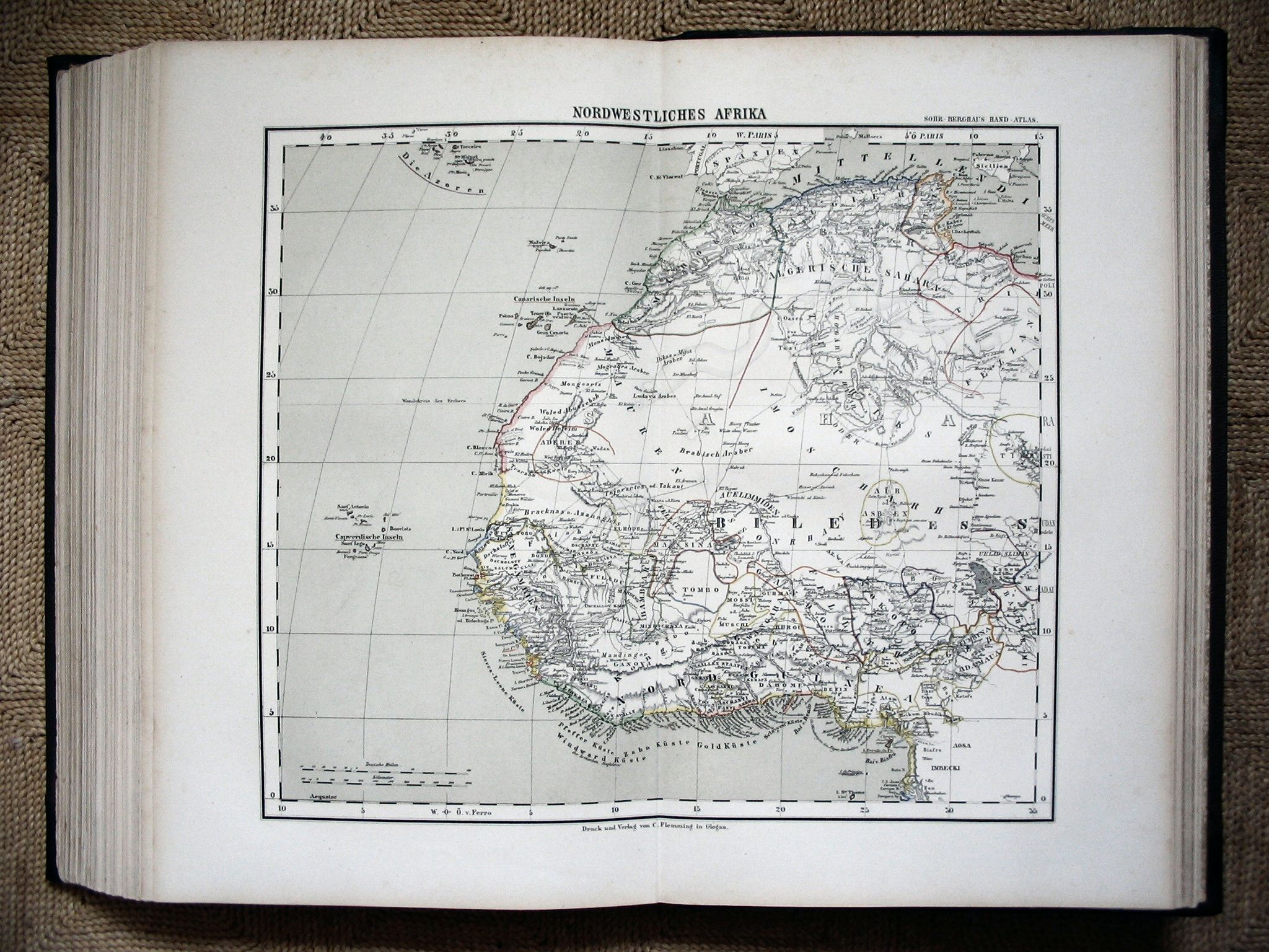 Sohr-Berghaus Hand-Atlas 1883
84. Afrika (NW) / Africa (NW)
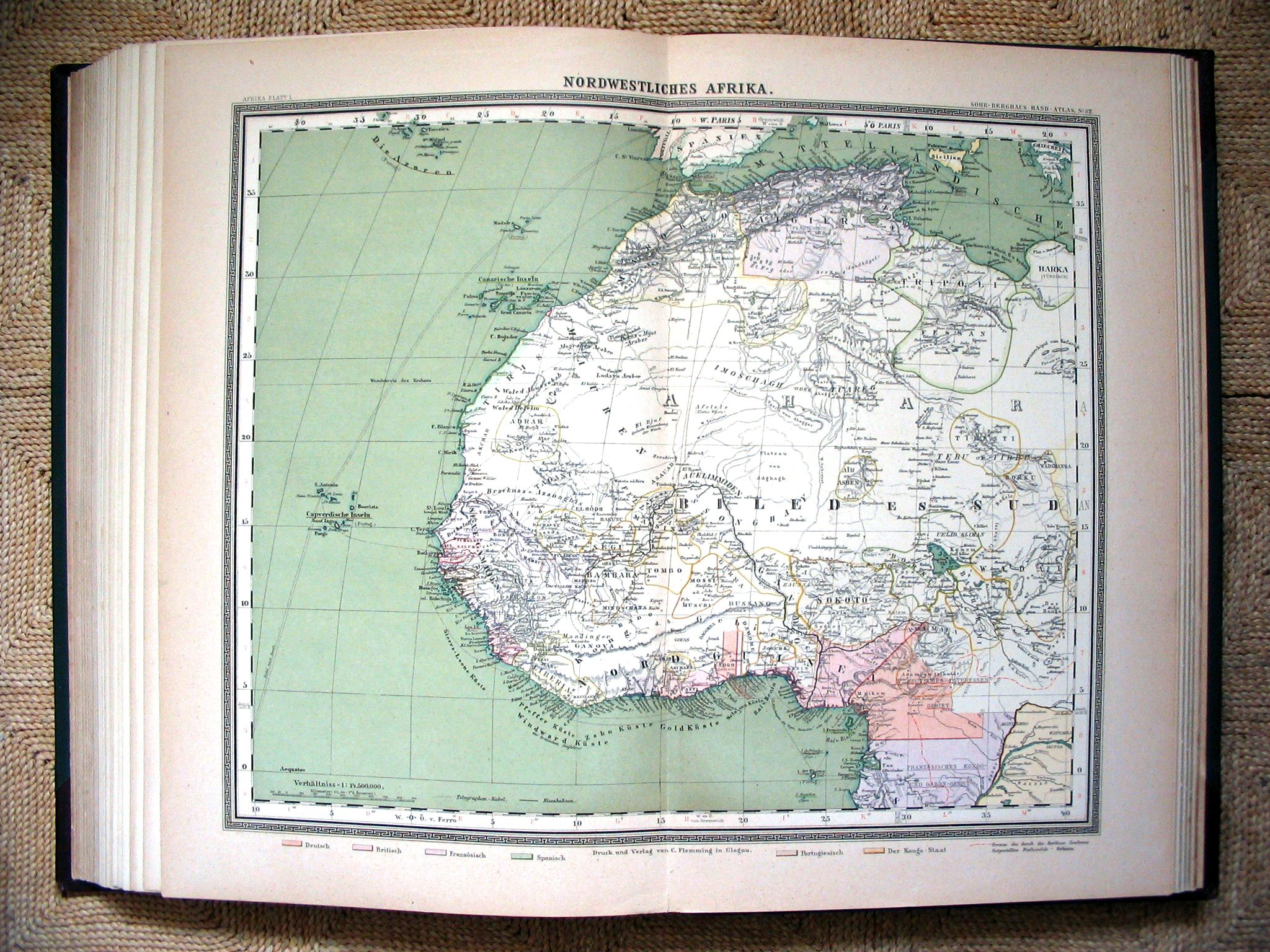 Sohr-Berghaus Hand-Atlas 1892
82. Afrika (NW) / Africa (NW)
 Sohr-Berghaus Hand-Atlas 1883
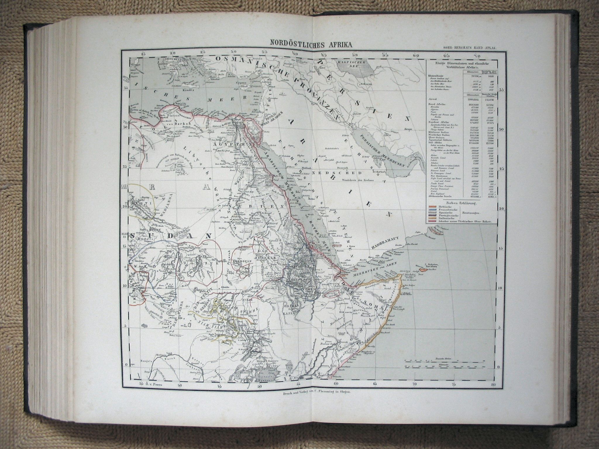
85. Afrika (NO) / Africa (NE)
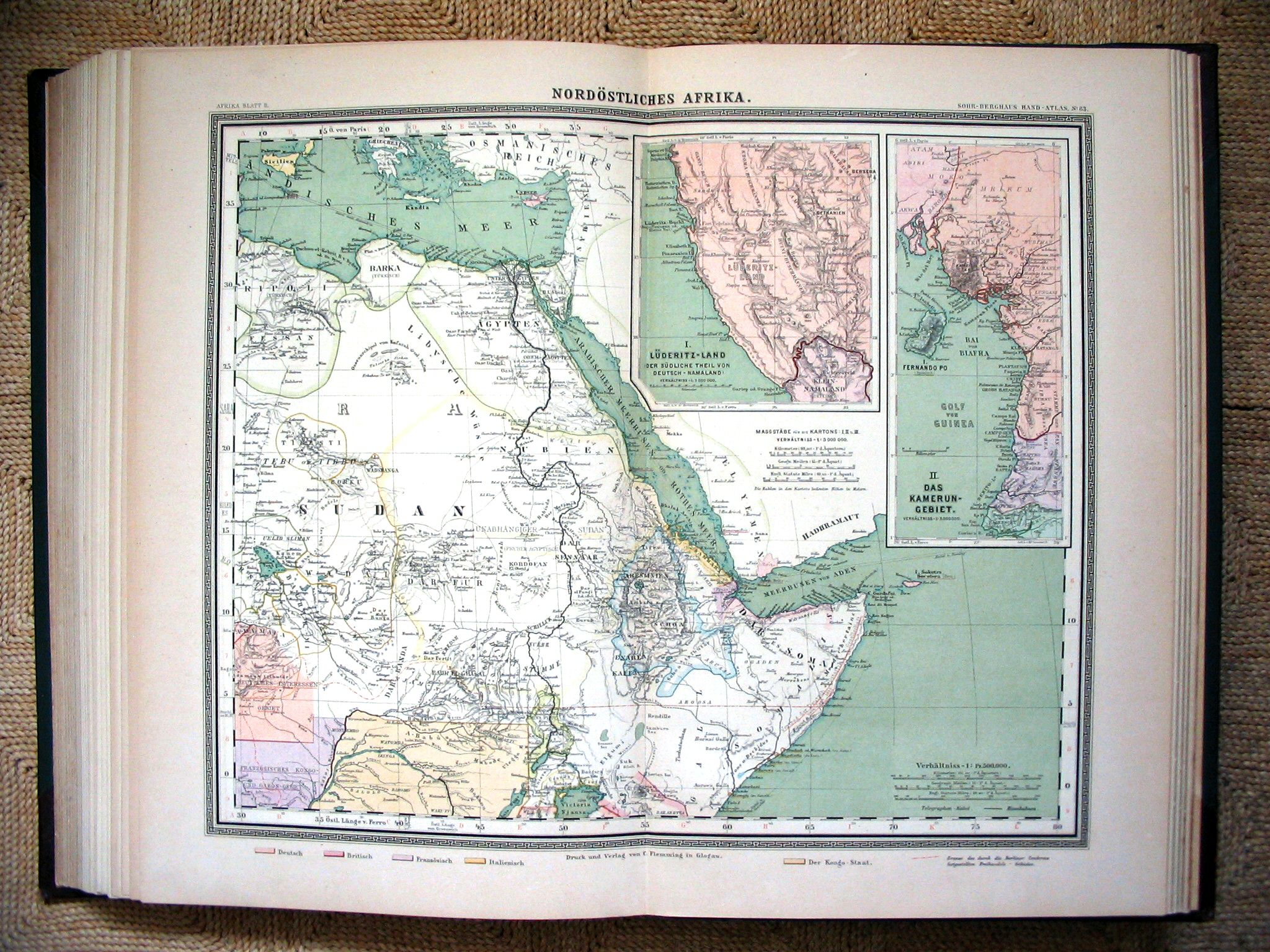 Sohr-Berghaus Hand-Atlas 1892
83. Afrika (NO) / Africa (NE)
 Sohr-Berghaus Hand-Atlas 1883
86. Afrika (Z) / Africa (S)
 Sohr-Berghaus Hand-Atlas 1892
84. Afrika (ZW) / Africa (SW)
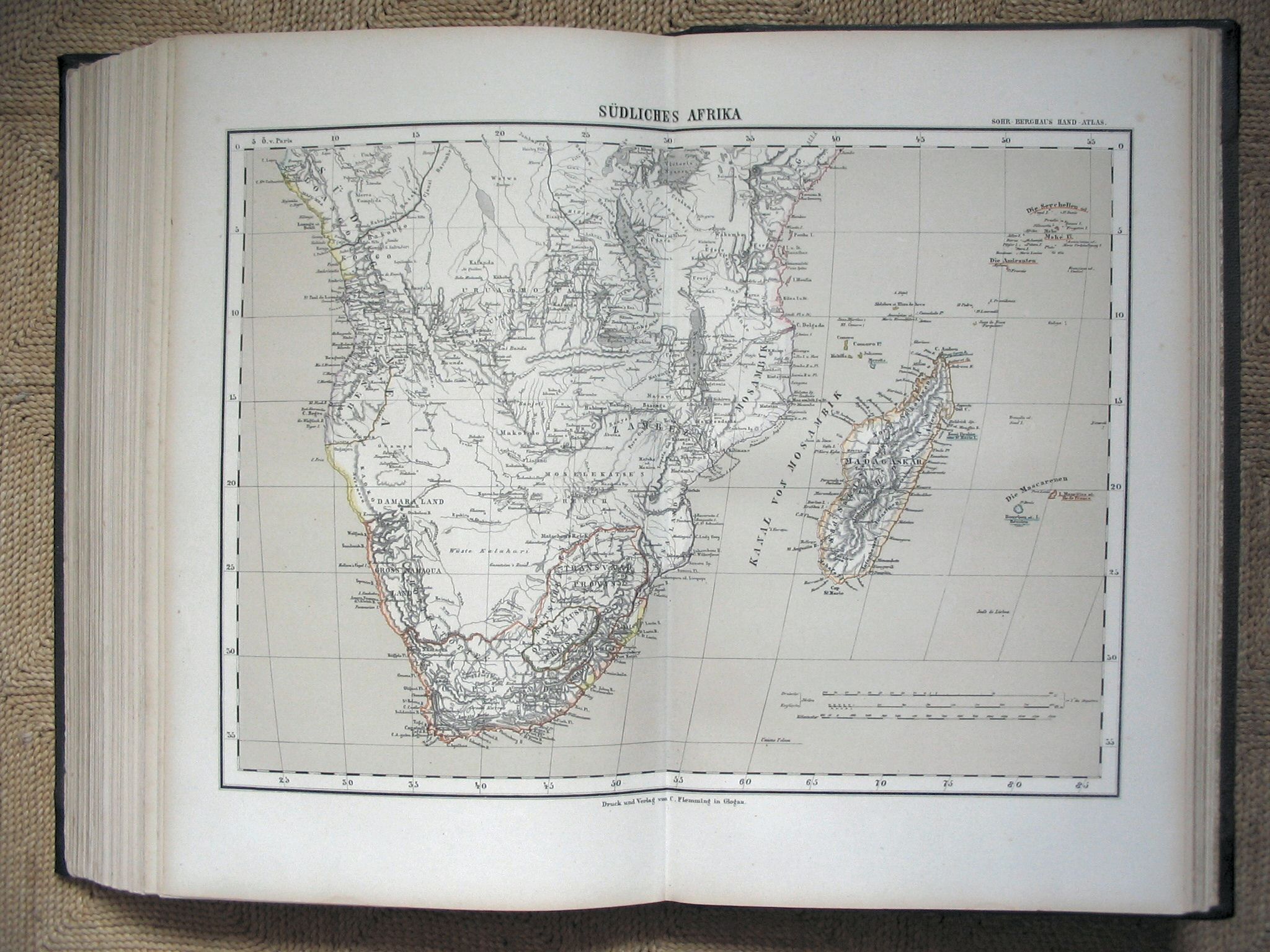
Sohr-Berghaus Hand-Atlas 1883
86. Afrika (Z) / Africa (S)
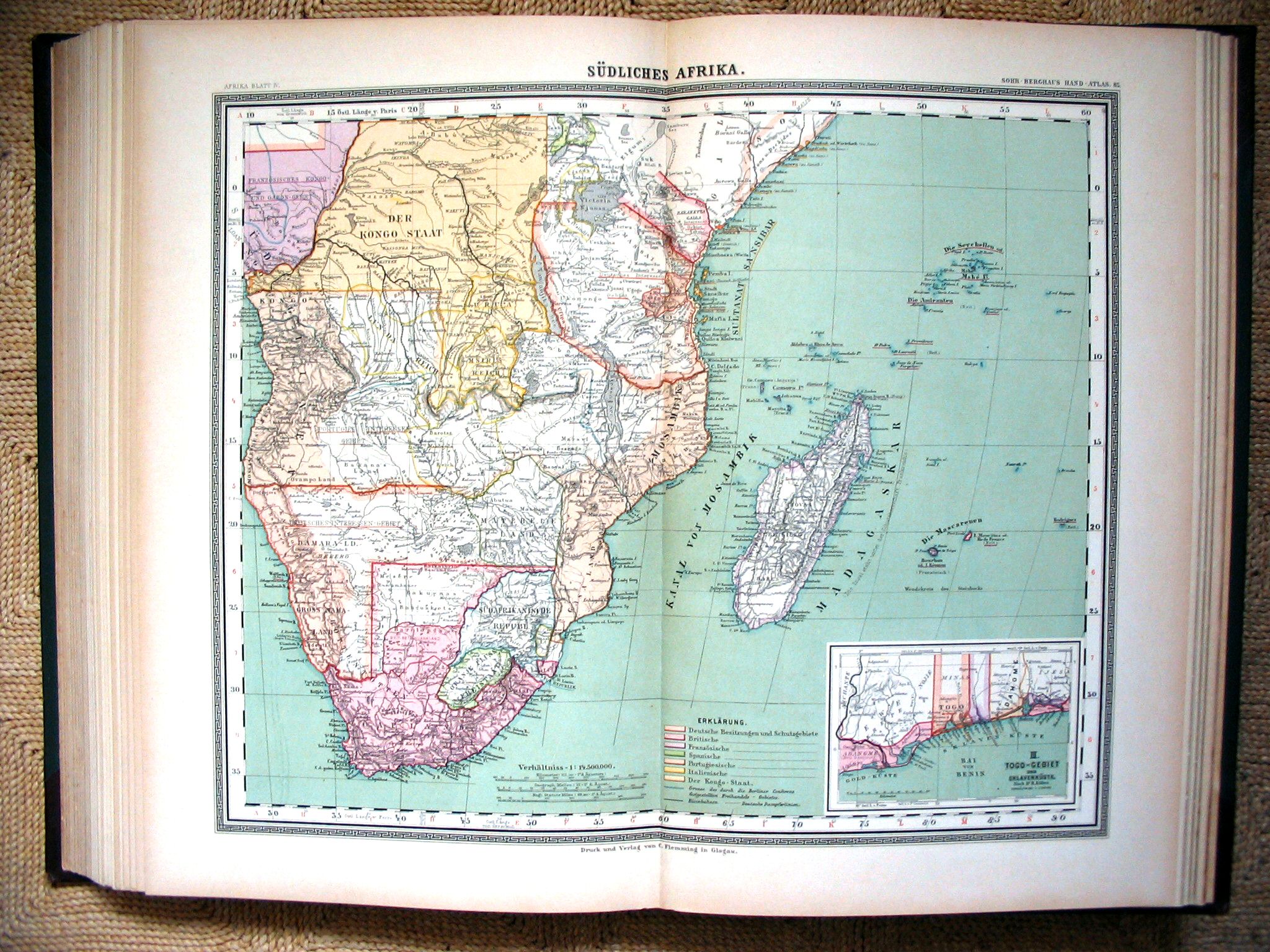 Sohr-Berghaus Hand-Atlas 1892
85. Afrika (Z) / Africa (S)
 Sohr-Berghaus Hand-Atlas 1883
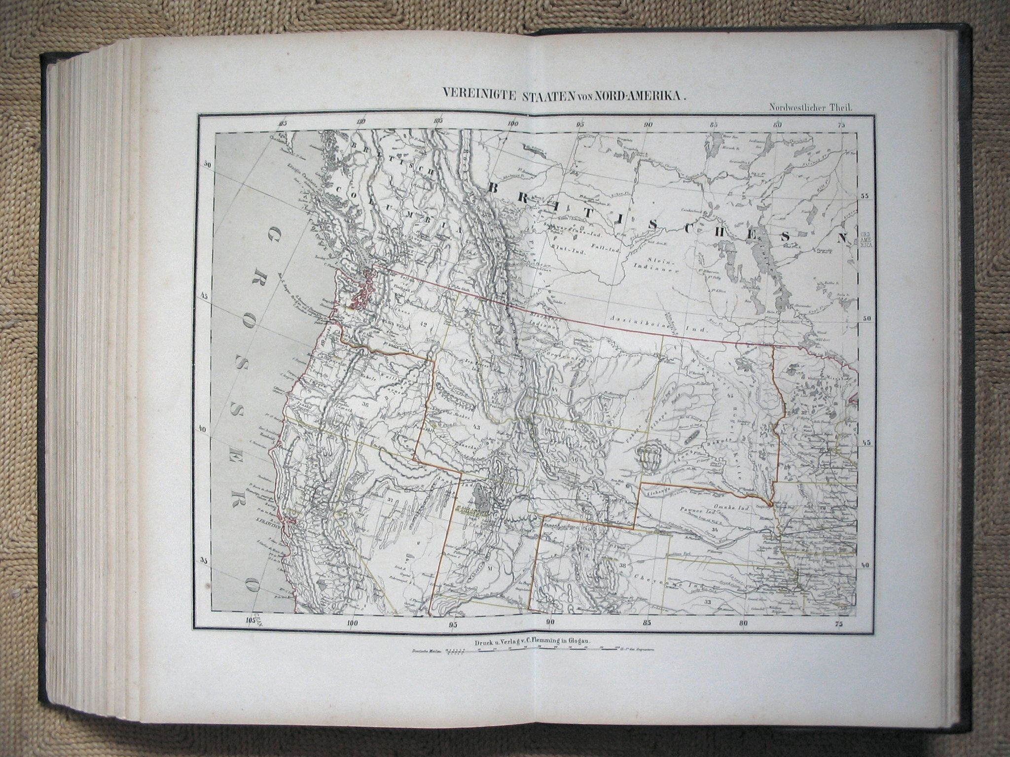
92. Verenigde Staten (NW) / United States (NW)
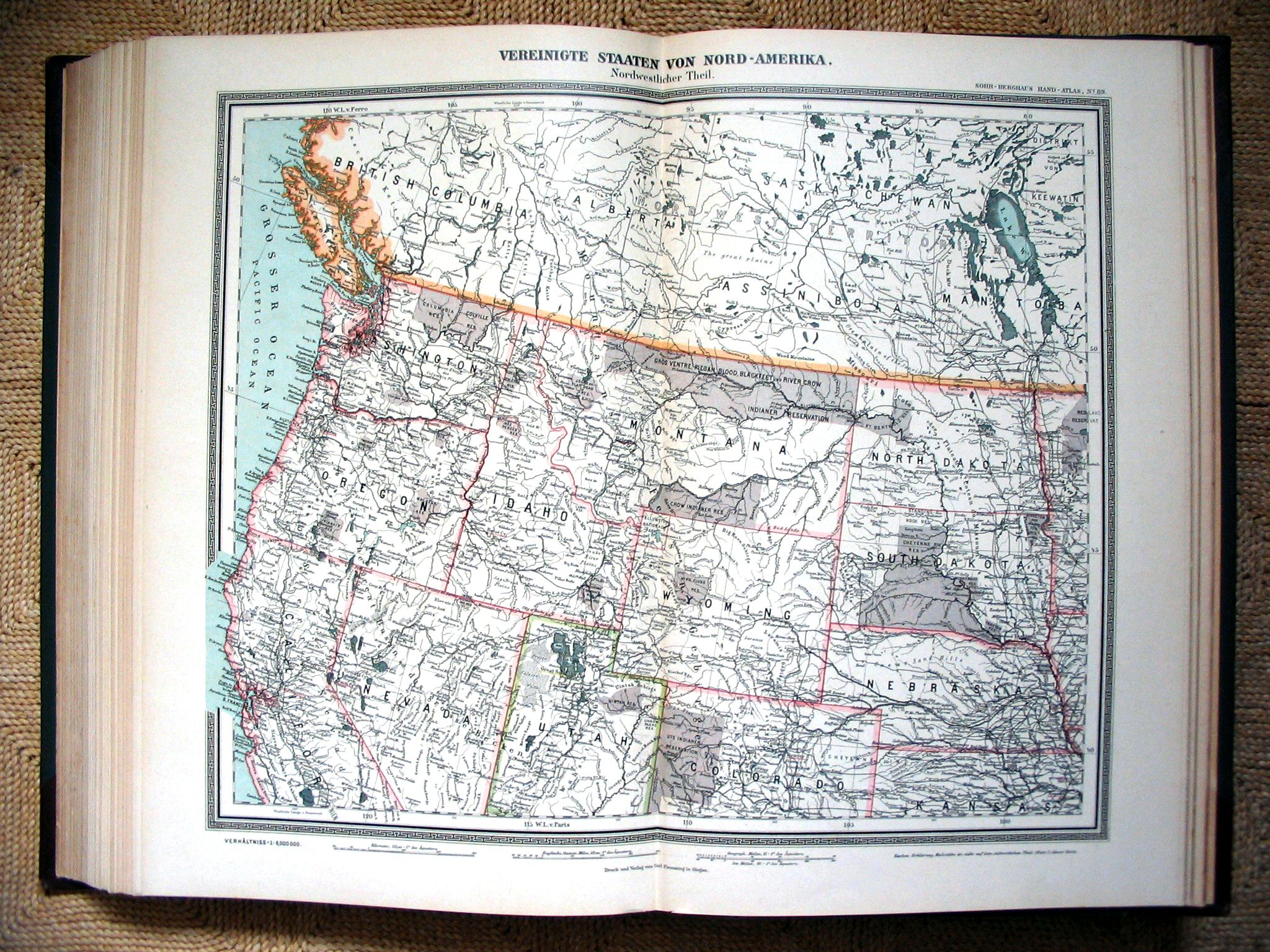 Sohr-Berghaus Hand-Atlas 1892
89. Verenigde Staten (NW) / United States (NW)
 Sohr-Berghaus Hand-Atlas 1883
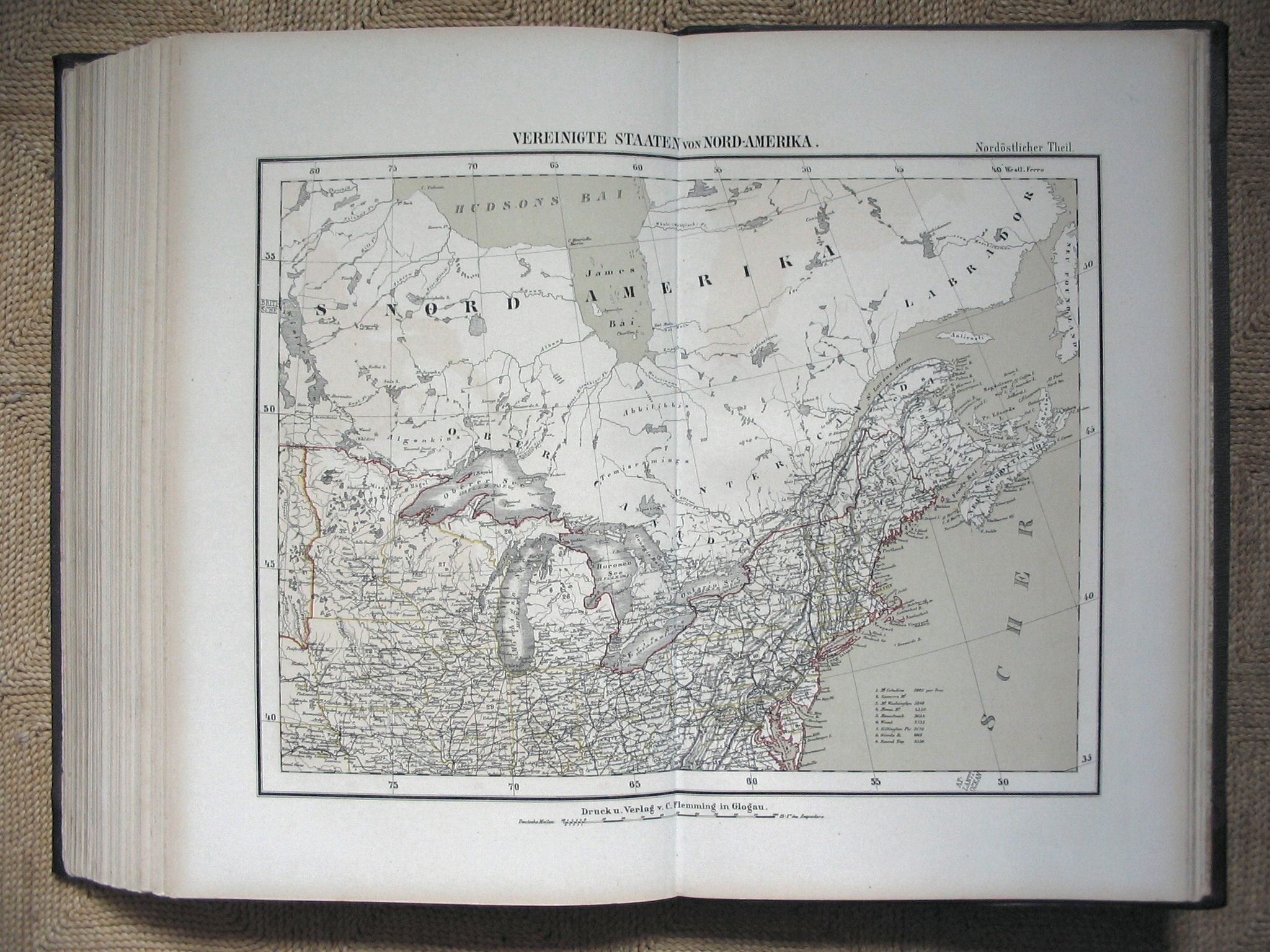
91. Verenigde Staten (NO) / United States (NE)
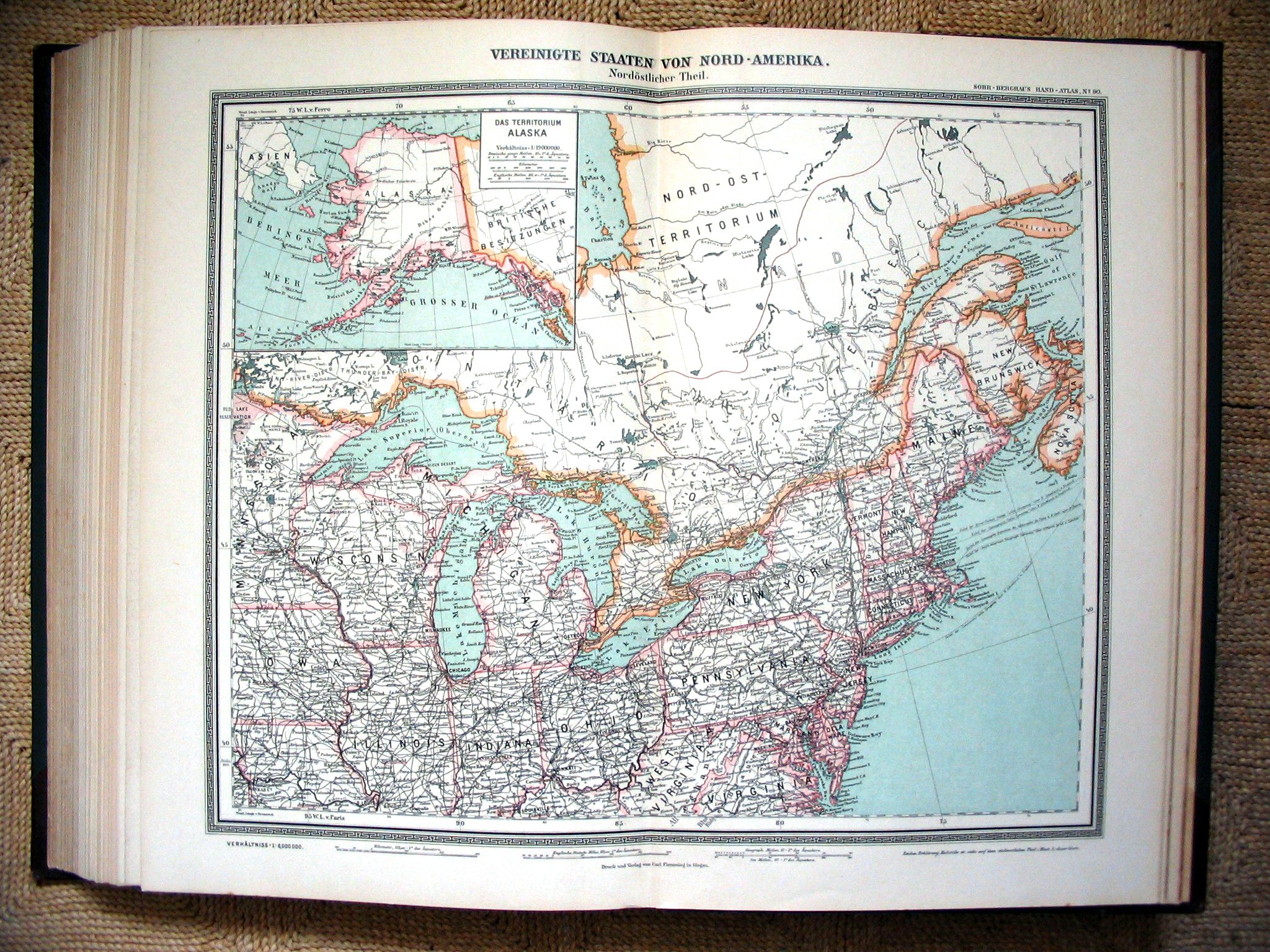 Sohr-Berghaus Hand-Atlas 1892
90. Verenigde Staten (NO) / United States (NE)
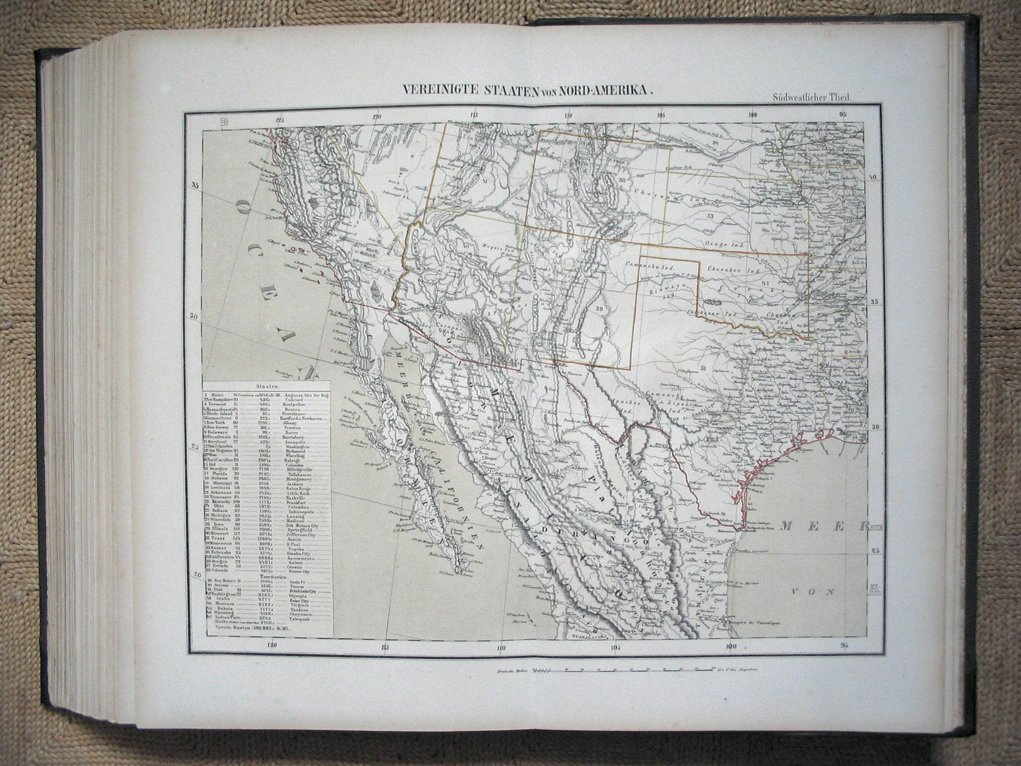 Sohr-Berghaus Hand-Atlas 1883
94. Verenigde Staten (ZW) / United States (SW)
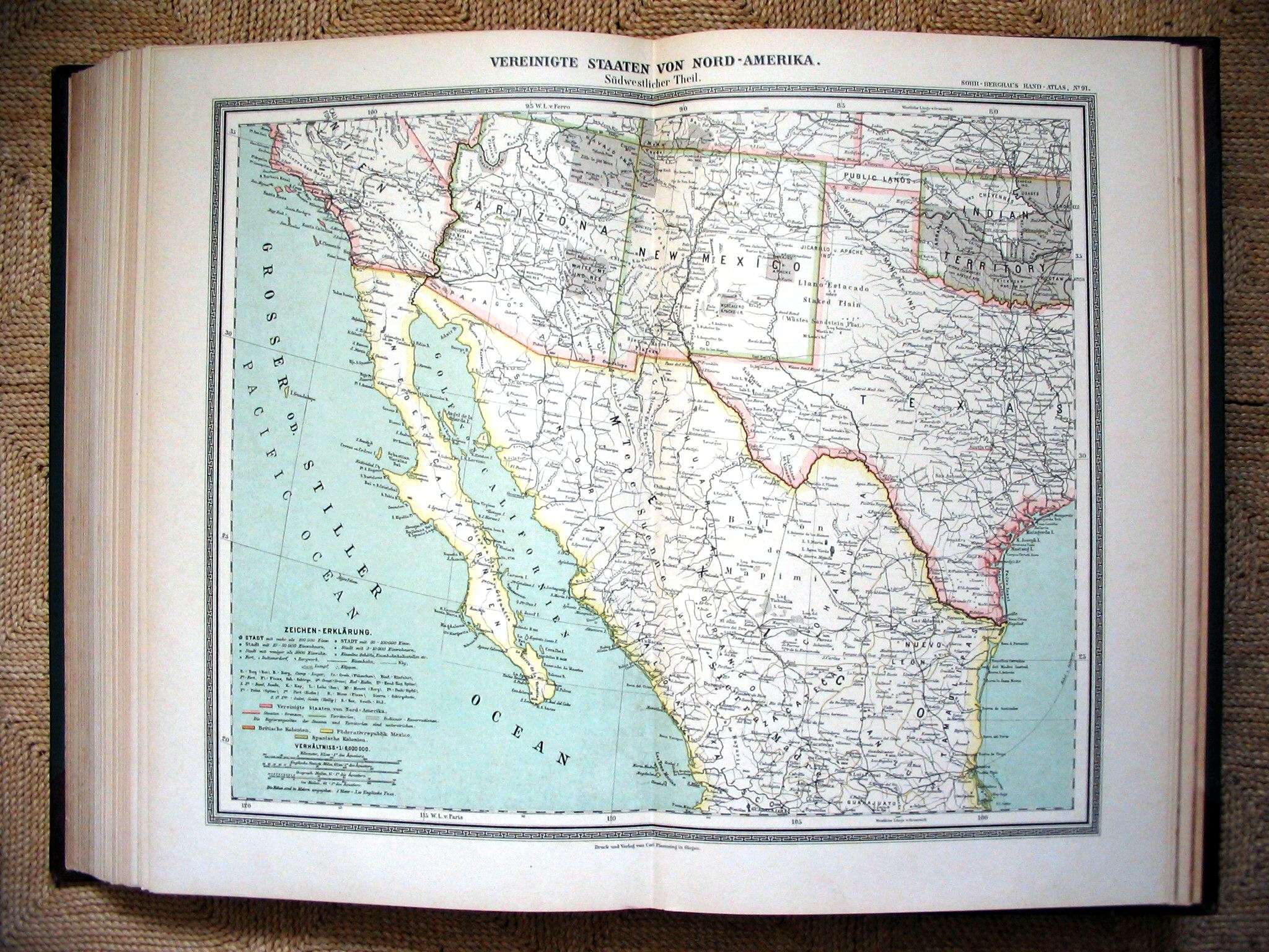 Sohr-Berghaus Hand-Atlas 1892
91. Verenigde Staten (ZW) / United States (SW)
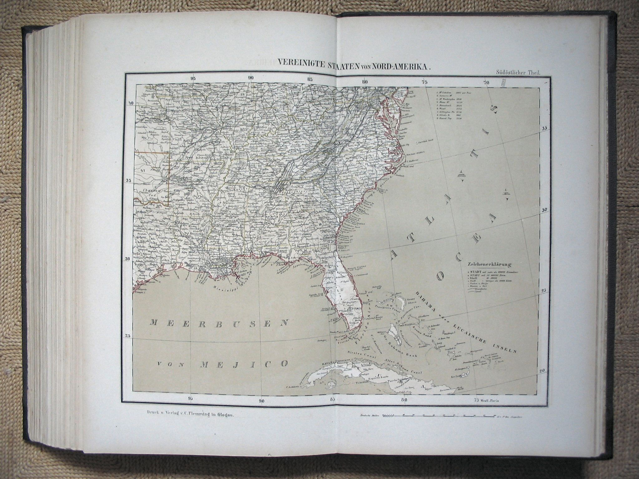 Sohr-Berghaus Hand-Atlas 1883
93. Verenigde Staten (ZO) / United States (SE)
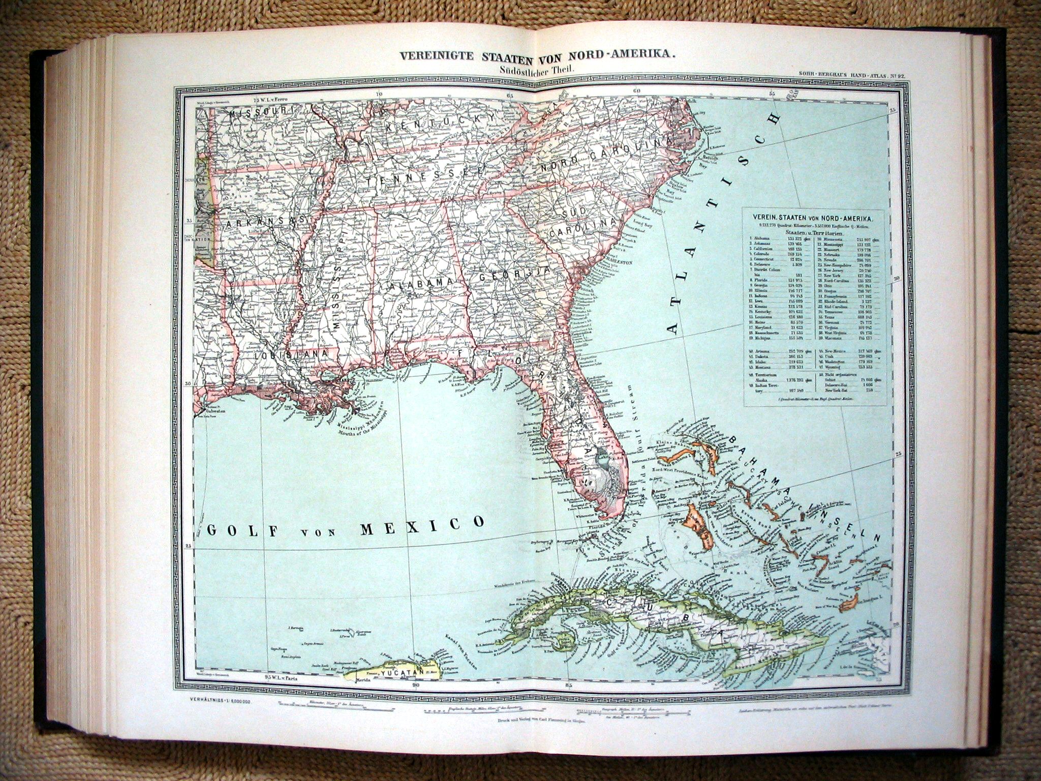 Sohr-Berghaus Hand-Atlas 1892
92. Verenigde Staten (ZO) / United States (SE)
 Sohr-Berghaus Hand-Atlas 1883
98. Oceanië / Pacific
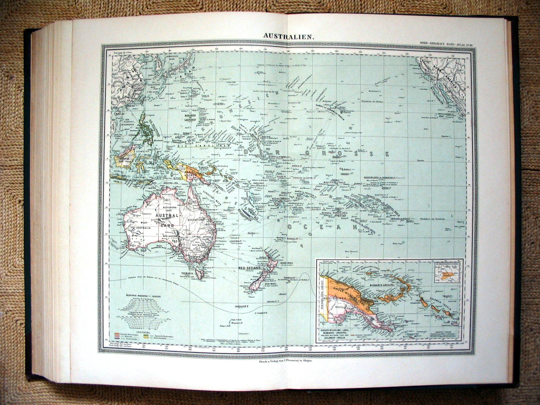 Sohr-Berghaus Hand-Atlas 1892
98. Oceanië / Pacific
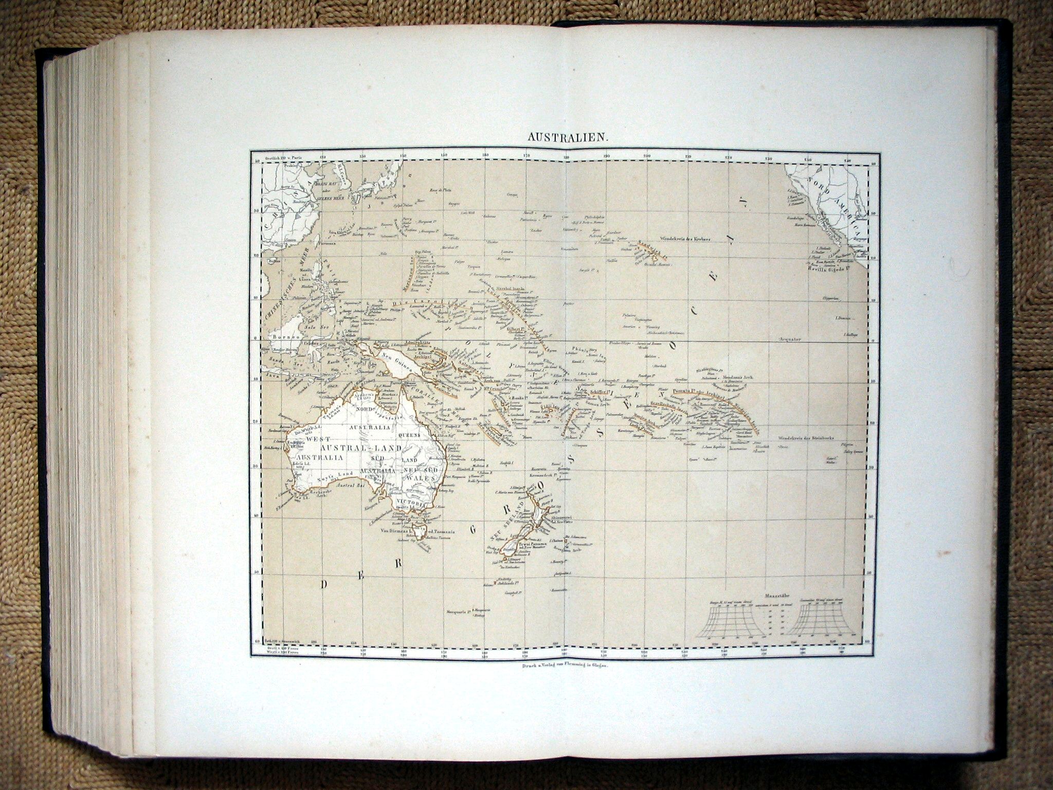
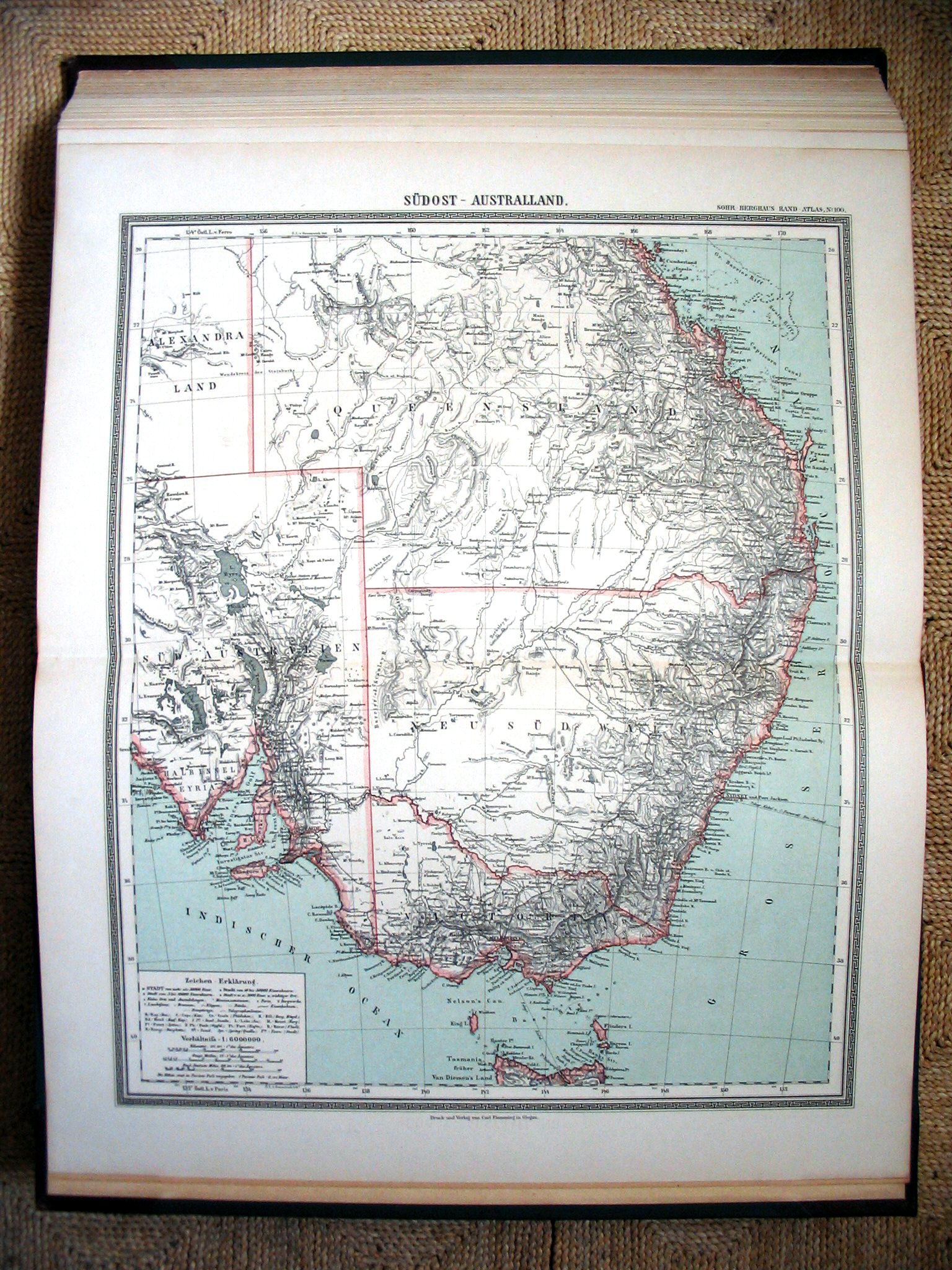
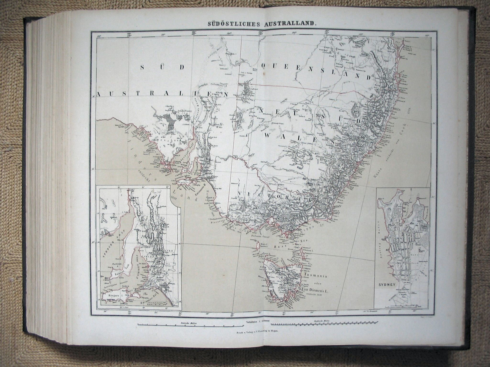 Sohr-Berghaus Hand-Atlas 1883
100. Zuidoost-Australië / Southeast Australia
 Sohr-Berghaus Hand-Atlas 1892
100. Zuidoost-Australië / Southeast Australia
© M. Witkam, 2006
![]()
![]()