Traugott Bromme, Atlas zum Kosmos, 1e uitgave (1854)
See below for (a summary of) this text in English.
Hieronder staat de beschrijving van de atlas. Daarbij horen ook de volgende pagina's
- Voorwoord van de atlas
- Plaatjes van de atlas
- Tabellen en lijsten bij de atlas
- Vergelijking (plaatjes) met Glaser's Topisch-Physikalischer Atlas (1844)
Titelgegevens
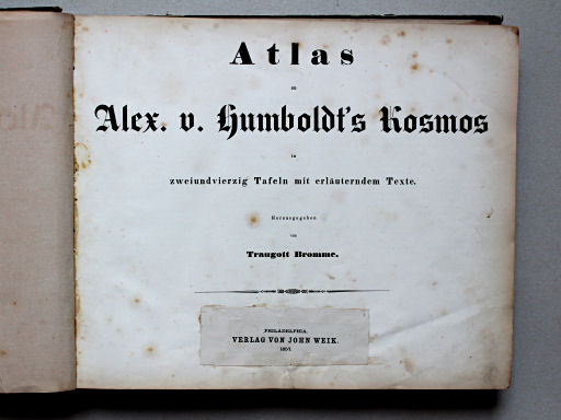
Titel: Atlas zu Humboldt's Kosmos
Auteur: Traugott Bromme
Uitgever: Krais & Hoffmann, Stuttgart
Jaar: 1854 (1e uitgave)
Titelpagina:
Atlas zu Alex. v. Humboldt's Kosmos
in zweiundvierzig Tafeln mit erläuterndem Texte.
Herausgegeben von Traugott Bromme.
Stuttgart. Verlag von Krais & Hoffmann
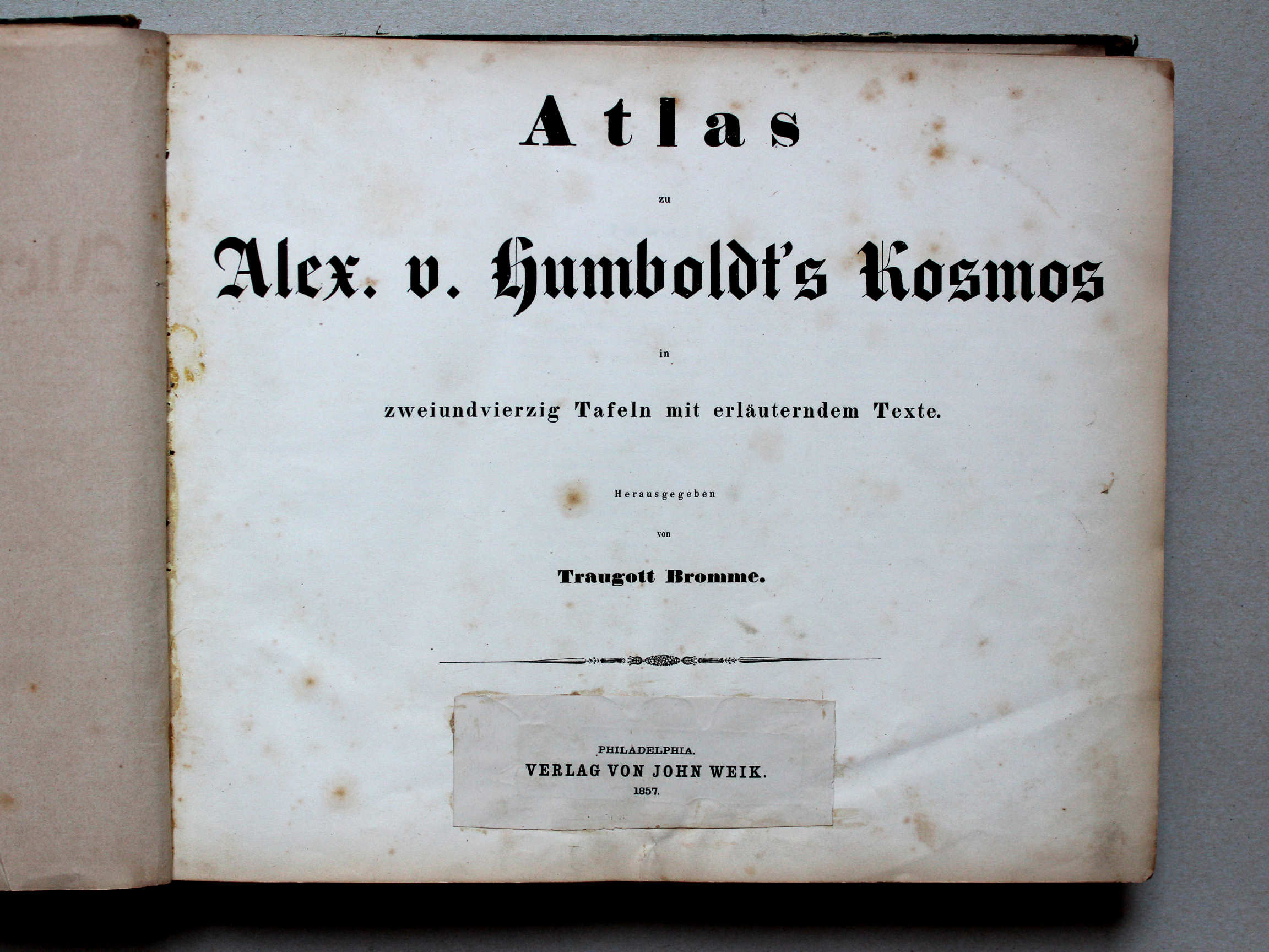
Amerikaanse uitgave met plakker:
Philadelphia. Verlag von John Weik. 1857
Vertaling:
Atlas bij Alex. v. Humboldt's Kosmos
in 42 bladen met verklarende tekst.
Onder redactie van Traugott Bromme
Stuttgart. Verlag von Krais & Hoffmann
-
Alexander von Humboldt (1769-1859) was natuuronderzoeker en ontdekkingsreiziger. Zijn belangrijkste expeditie was die van 1799 tot 1804 door Latijns Amerika. Zijn wetenschappelijke beschrijving van die reis geldt als de grondslag van de fysische geografie (natuurkundige aardrijkskunde) en de meteorologie. Zie ook de Duitstalige en Engelstalige pagina's op Wikipedia.
 Atlas zu Alex. v. Humboldt's Kosmos (1854)
Titelpagina (Amerikaanse uitgave) - In 'Kosmos, Entwurf einer physischen Erdbeschreibung' (Kosmos, ontwerp van een natuurkundige wereldbeschrijving), in de periode 1845-1862 uitgegeven in 5 delen door Cotta in Stuttgart, geeft hij een uitgebreid overzicht van de fysische geografie. Hij probeert daarin een eenheid te scheppen in de beschrijving van fysisch-geografische en astronomische verschijnselen.
- Deze atlas van Bromme geeft in 136 bladzijden een korte weergave van de onderwerpen in de 'Kosmos' (zie de inhoudsopgave) en 42 kaarten en afbeeldingen. Je kunt dus spreken van een atlas van de sterrenkunde en de fysische geografie.
- In de periode 1837-1848 verscheen bij Justus Perthes in Gotha de 1e druk van 'Physikalischer Hand-Atlas' van Heinrich Berghaus, met 90 kaarten. Ook die atlas heeft een verband met de 'Kosmos'. Deze atlas van Bromme uit 1854 wordt wel als een plagiaat daarvan gezien, maar dat is niet zonder meer juist. Er zijn kaarten in deze atlas die afgeleid lijken uit de atlas van Berghaus, maar de atlas van Bromme sluit beter aan bij de 'Kosmos'. Bovendien zijn 10 kaarten uit deze atlas duidelijk geïnspireerd door de 1e druk (1844) van Glaser's Topisch-Physikalischer Atlas (zie de ook vergelijking). De 2e druk daarvan (1855) is overigens uitgegeven onder redactie van Bromme.
Inhoud
De atlas bevat een titelpagina, een bladzijde met de inhoudsopgave, een voorwoord van twee bladzijden, 134 bladzijden tekst en 42 kaarten en andere afbeeldingen. De afmetingen van de bladzijden zijn 34 × 28 cm (B × H). In mijn exemplaar van de atlas zijn ze ongevouwen (plano) ingebonden. De kaarten zijn geplaatst in de buurt van de bijbehorende tekst.
De 42 kaarten en afbeeldingen zijn vervaardigd in lithografie (steendruk). De 39 kaarten zijn doorgaans met de hand gekleurd; de 3 afbeeldingen zijn niet gekleurd. Alle kaarten zijn ontworpen door Tr. Bromme. De meeste kaarten zijn getekend door E. Winckelmann; zie de lijst van ontwerp en uitvoering van de kaarten.
Op de kaarten en in de bijbehorende hoofdstukken komen verschillende onderwerpen uit de sterrenkunde en de fysische geografie aan de orde. De atlas begint met 3 astronomische kaarten. Daarna komen 9 kaarten over geologische onderwerpen, gevolgd door 9 kaarten over magnetisme, meteorologie en hydrografie. Vervolgens komen er 9 natuurkundige kaarten van de werelddelen en delen van Europa. De 4 kaarten daarna hebben als thema de verspreiding van planten en dieren en de etnografie. Dan komen er 3 afbeeldingen van atmosfeer en meteorologie, geologische en andere karakteristieke landschappen. De laatste 5 kaarten behandelen de Oudheid en de ontdekkingsreizen tot 1850.
Traugott Bromme, Atlas zum Kosmos, 1st version (1854)
- Below is a description of the atlas in keywords. Related pages
- Preface of the atlas
- Pictures of the atlas
- Tables and lists to the atlas
- Comparison (pictures) with Glaser's Topisch-Physikalischer Atlas (1844)
- Title description
- Title: Atlas zu Humboldt's Kosmos
Author: Traugott Bromme
Publisher: Krais & Hoffmann, Stuttgart
Year: 1854 (1st version) - Title page:
Atlas zu Alex. v. Humboldt's Kosmos
in zweiundvierzig Tafeln mit erläuterndem Texte.
Herausgegeben von Traugott Bromme.
Stuttgart. Verlag von Krais & Hoffmann American version with sticker:
Philadelphia. Verlag von John Weik. 1857
Translation:
Atlas to Alex. v. Humboldt's Kosmos
in 42 sheets with an explanatory text
Edited by Traugott Bromme
Krais & Hoffmann, Stuttgart -
Alexander von Humboldt (1769-1859) was a naturalist and explorer. He made his most important expedition between 1799 and 1804 in Latin America. His scientific description of this journey is considered the foundation of physical geography and meteorology.
Atlas zu Alex. v. Humboldt's Kosmos (1854)
Title page (American version) - In 'Kosmos, Entwurf einer physischen Erdbeschreibung' (Cosmos, Framework of a Physical Description of the World), published between 1845 and 1862 in 5 volumes by Cotta in Stuttgart, he gives a comprehensive survey of physical geography. In this work he has made an attempt to give a unified treatment of physical-geographical and astronomical phenomena.
- This atlas by Bromme gives, in 136 pages, a summary of the subjects of the 'Kosmos' (see the table of contents) and 42 maps and images. It seems adequate to call it an atlas of astronomy and physical geography.
- Between 1837 and 1848 Justus Perthes in Gotha has published the 'Physikalischer Hand-Atlas' by Heinrich Berghaus, with 90 maps. That atlas also has a relationship with the 'Kosmos'. The Bromme atlas is sometimes considered a plagiarism, but that is not correct. Some maps in this atlas seem to be derived from maps in the Berghaus atlas but the Bromme atlas more closely follows the 'Kosmos'. And 10 of the maps in this atlas are obviously based upon the 1st edition (1844) of Glaser's Topisch-Physikalischer Atlas (see also the comparison page). The 2nd edition (1855) of that atlas, by the way, was edited by Bromme.
- Title: Atlas zu Humboldt's Kosmos
- Contents
- The atlas has a title page, a table of contents of one page, a preface of two pages, 134 pages of text and 42 maps and other images. The pages and maps measure 34 × 28 cm (W × H). In my copy of the atlas they are bound unfolded. The maps have been arranged near the accompanying text.
- The 42 maps and images have been produced in lithography. The 39 maps are hand colored; the 3 images are uncolored. All maps have been designed by Tr. Bromme. Most of them have been realized by E. Winckelmann; see the list of design and realization of the maps.
- On the maps and in the corresponding chapters several subjects of astronomy and physical geography are discussed. The first 3 maps in the atlas are on astronomy. Thereafter are 9 maps on geology, 9 maps on magnetism, meteorology and hydrography, and 9 physical maps of the continents and parts of Europe. The next 4 maps show the distribution of vegetation and animals and ethnography. Thereafter are 3 images of atmosphere and meteorology, geological and other typical scenery. Theme of the last 5 maps is ancient history and exploratory expeditions until 1850.
© M. Witkam, 2009
(rev. 2015-11-02)
![]()
![]()