Putzgers Historischer Schul-Atlas, Große Ausgabe,
51e druk (1934) en 50e druk (1931/33)
See below for (a summary of) this text in English.
Hieronder staan plaatjes van de 51e en de 50e druk ter vergelijking naast elkaar. Daarbij horen ook de volgende pagina's
- Beschrijving van de 51e druk
- Plaatjes van de 51e druk
- Tabellen en lijsten bij de 51e druk
en
- Beschrijving van de 50e druk
- Plaatjes van de 50e druk
- Tabellen en lijsten bij de 50e druk
Plaatjes
Klik op een plaatje voor een vergroting.
Putzgers Historischer Schul-Atlas, Große Ausgabe,
51st edition (1934) and 50th edition (1931/33)
- Below are pictures 51st and 50th editions side by side for comparison
purposes. Related pages
- Description of the 51st edition
- Pictures of the 51st edition
- Tables and lists to the 51st edition
- Description of the 50th edition
- Pictures of the 50th edition
- Tables and lists to the 50th edition
Pictures
Click on a picture to enlarge.
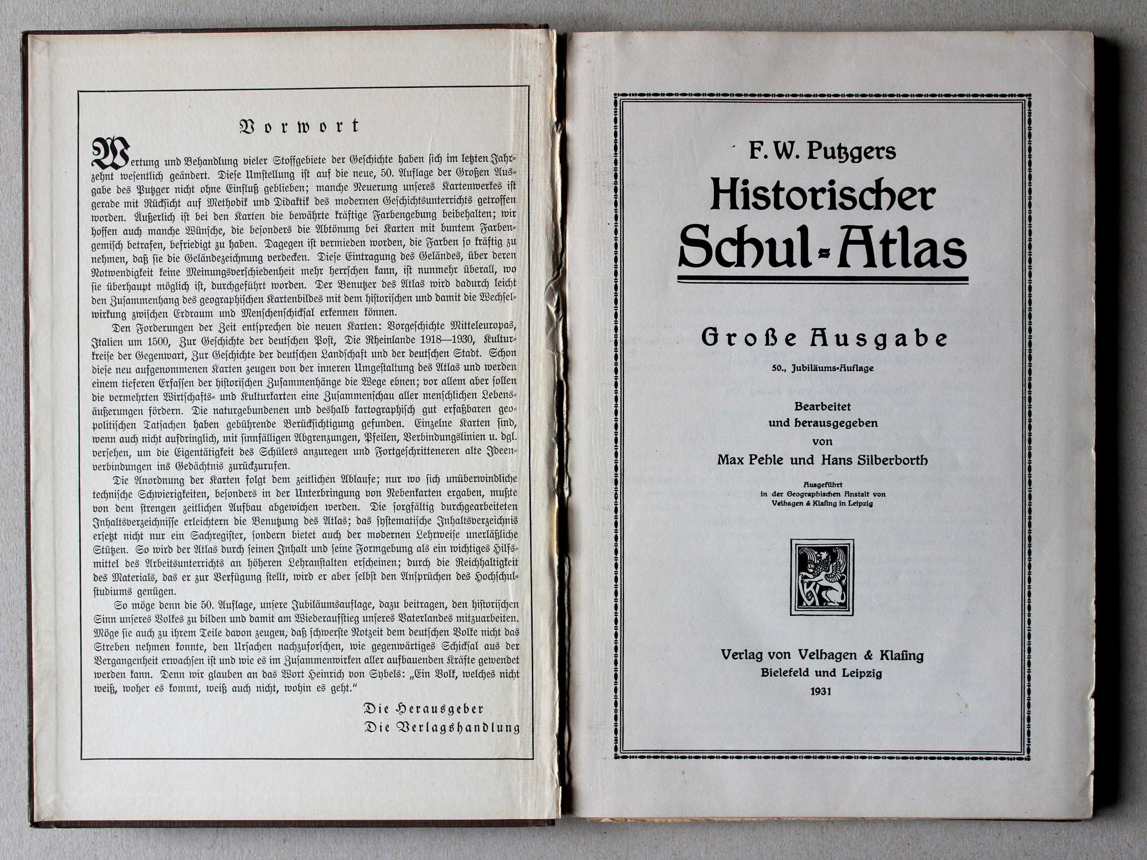
Band, voorwoord, titelpagina / Binding, preface, title page


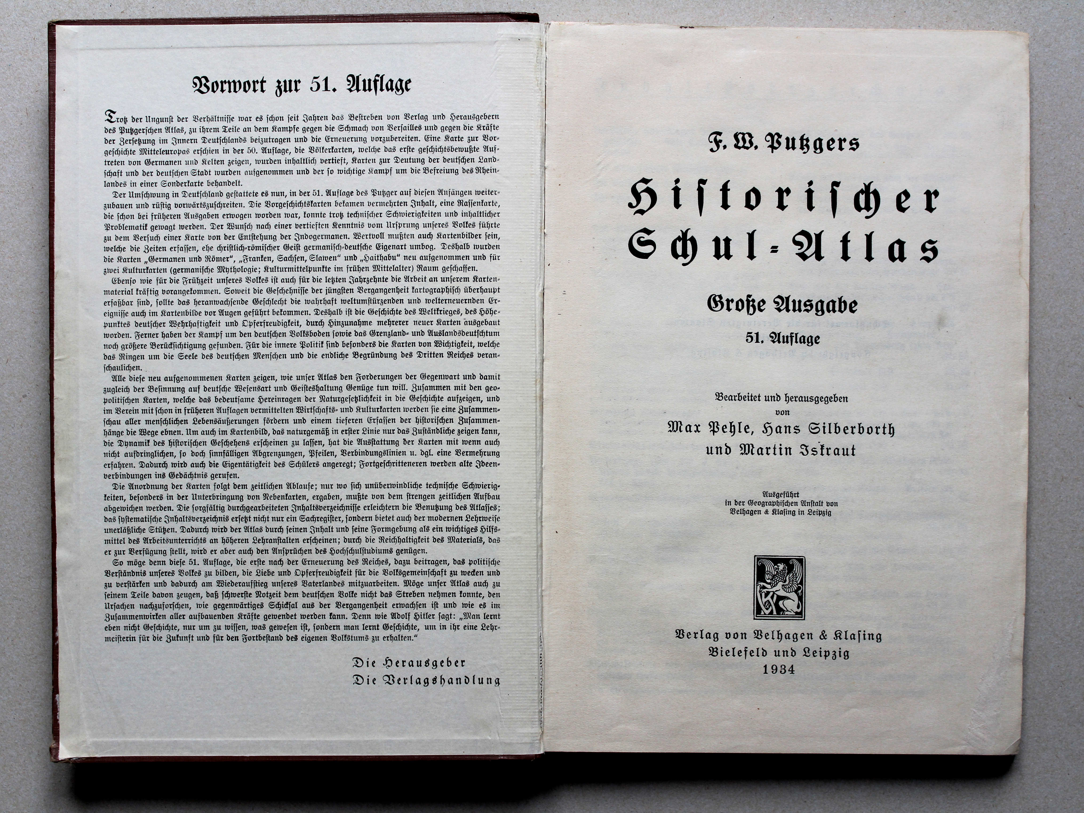
 Putzgers Historischer Schul-Atlas, Große Ausgabe, 1934
Schutblad voorin met voorwoord, titelpagina / Front endpaper with preface, title page XL
 Putzgers Historischer Schul-Atlas, Große Ausgabe, 1931/33
Schutblad voorin met voorwoord, titelpagina / Front endpaper with preface, title page XL
 Putzgers Historischer Schul-Atlas, Große Ausgabe, 1934
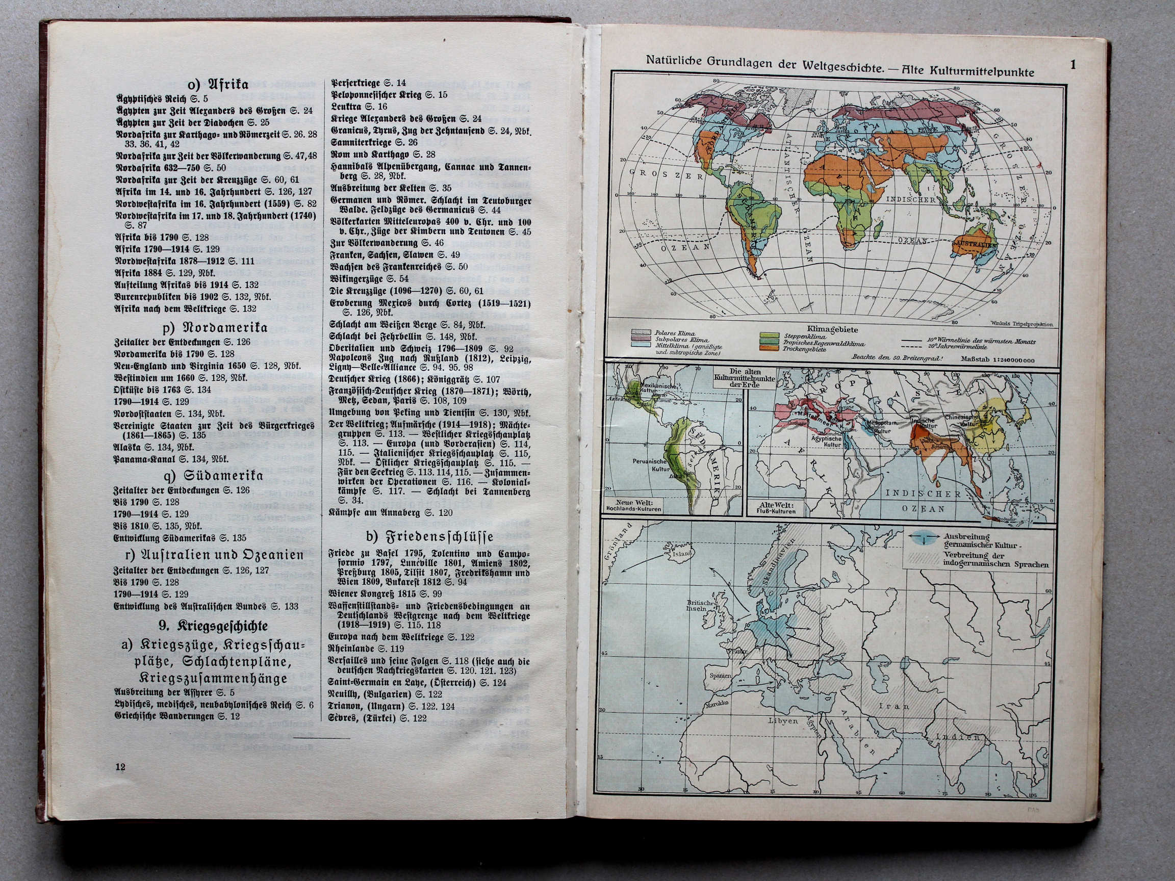
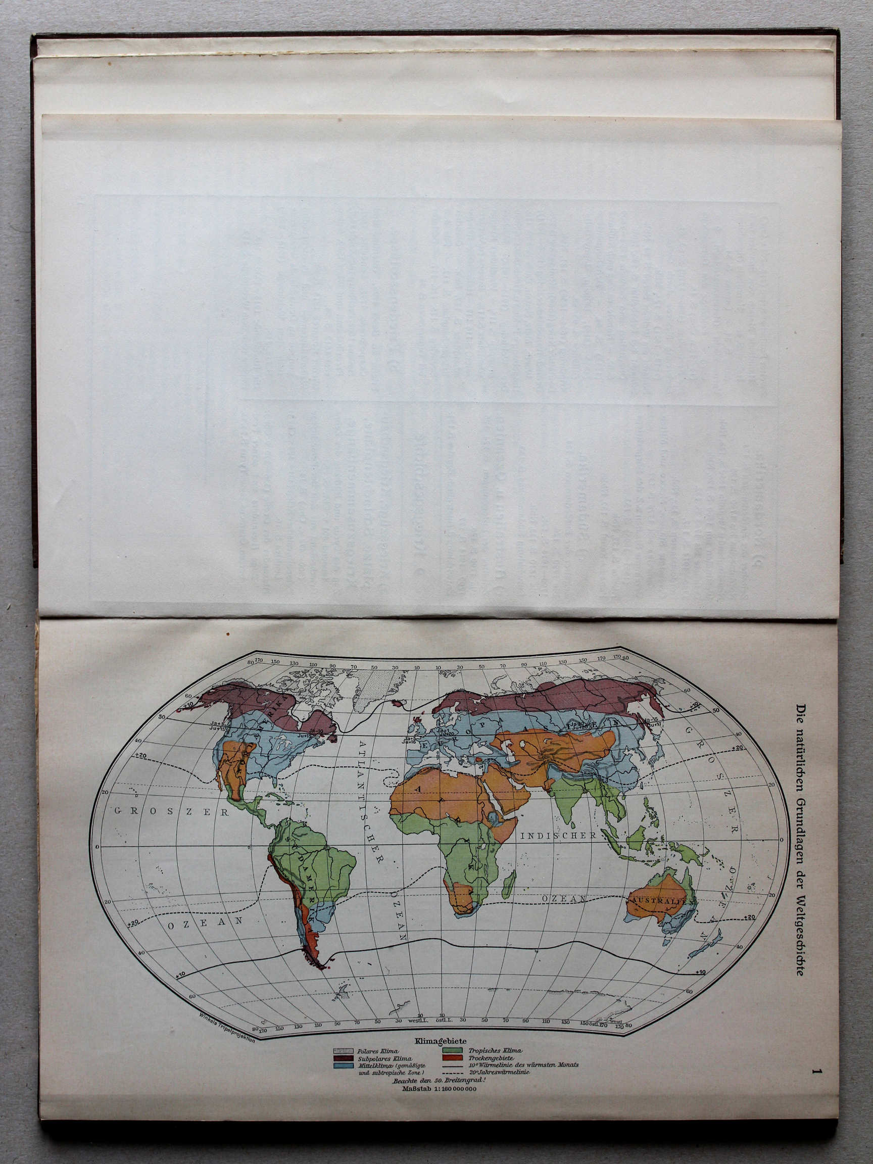
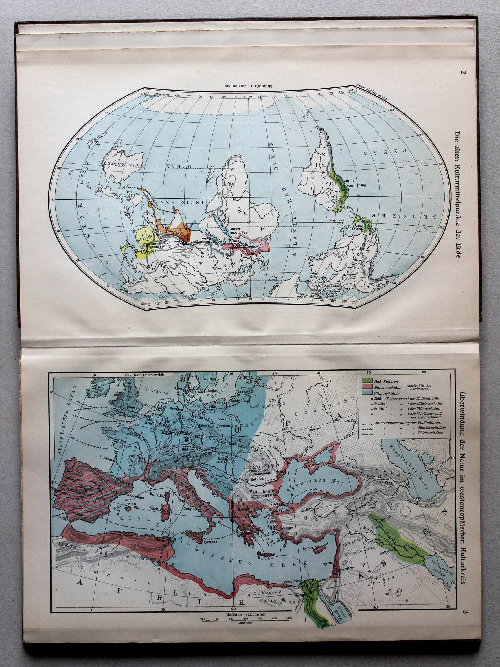
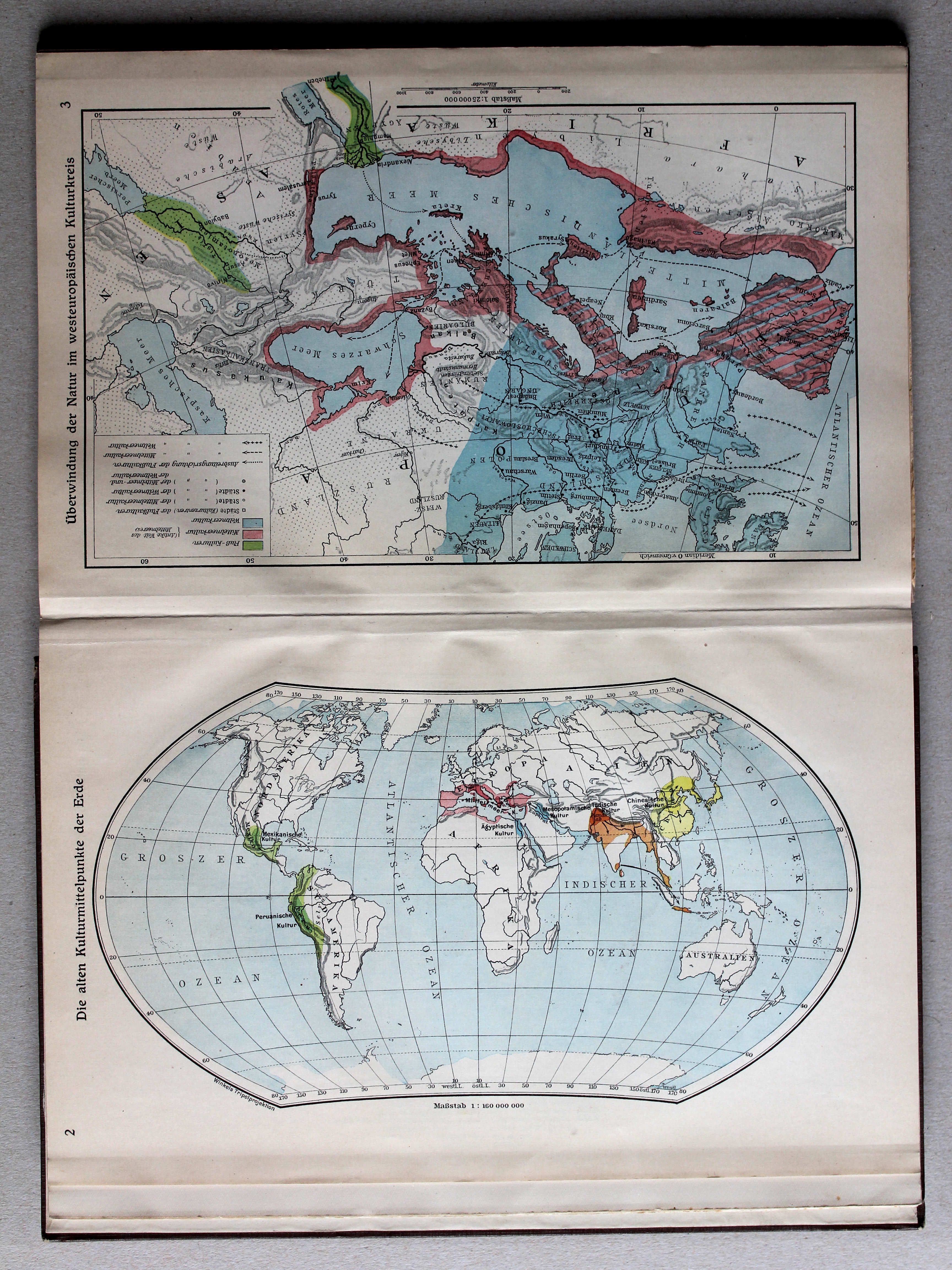
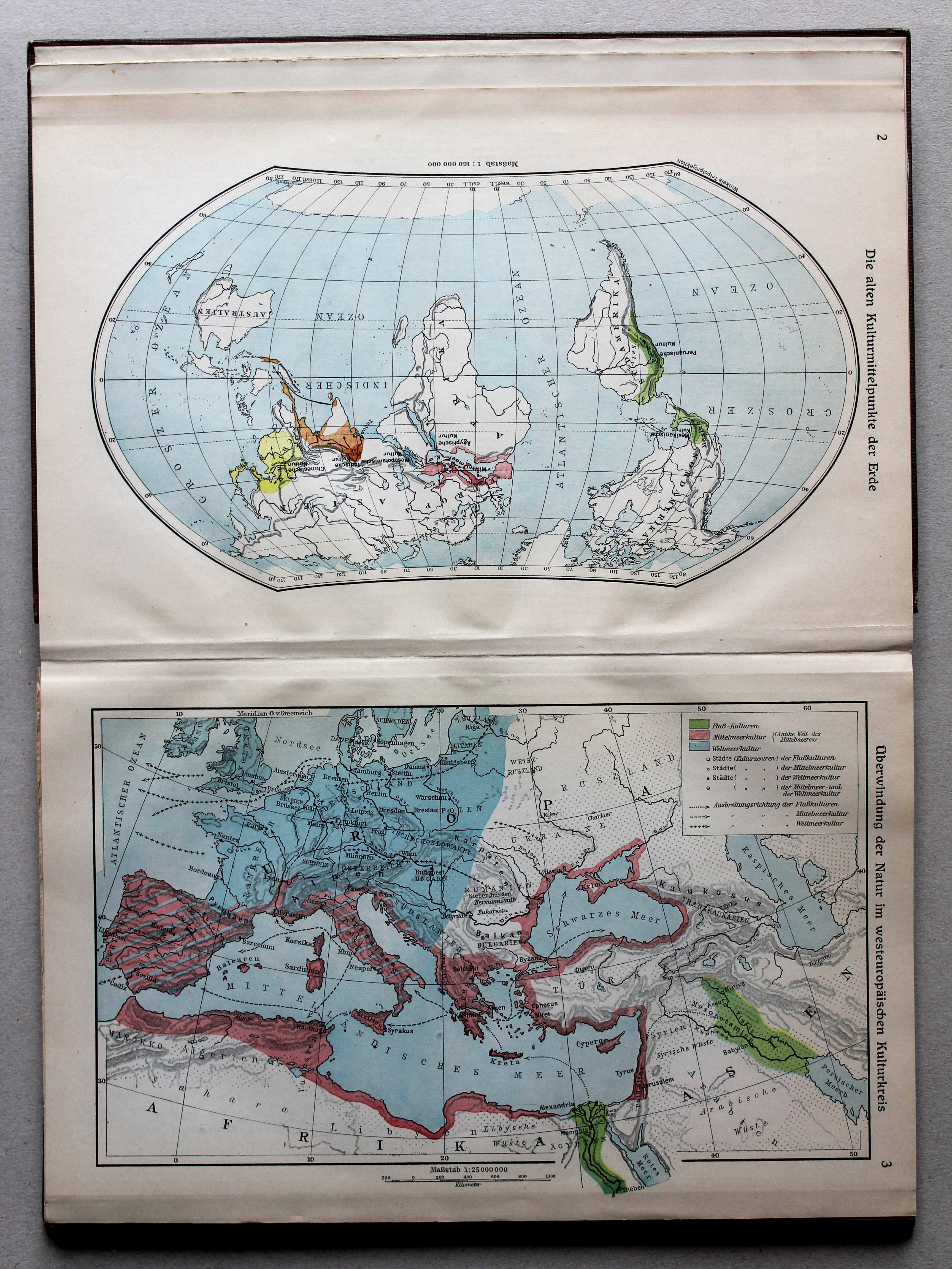
1. Natürliche Grundlagen der Weltgeschichte – Alte Kulturmittelpunkte XL
De natuurlijke grondslagen van de geschiedenis. Oude beschavingscentra / The natural foundations of history. Old cultural centers
 Putzgers Historischer Schul-Atlas, Große Ausgabe, 1931/33
1. Die natürlichen Grundlagen der Weltgeschichte XL
De natuurlijke grondslagen van de geschiedenis / The natural foundations of history
Putzgers Historischer Schul-Atlas, Große Ausgabe, 1934
1. Natürliche Grundlagen der Weltgeschichte – Alte Kulturmittelpunkte XL
De natuurlijke grondslagen van de geschiedenis. Oude beschavingscentra / The natural foundations of history. Old cultural centers
 Putzgers Historischer Schul-Atlas, Große Ausgabe, 1931/33
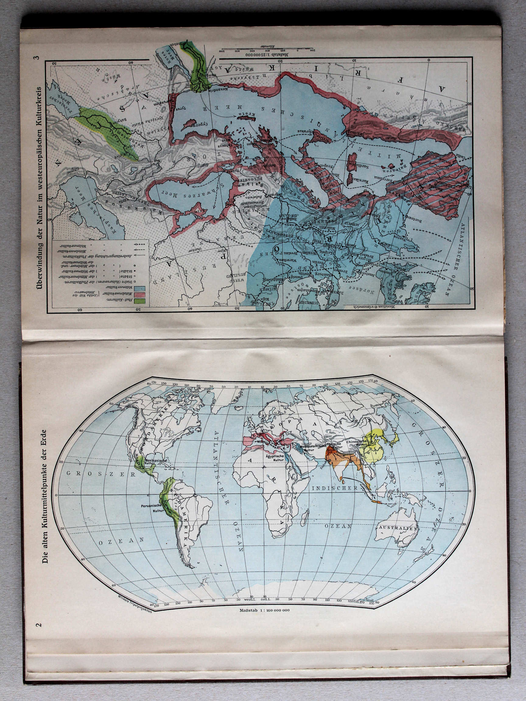
2. Die alten Kulturmittelpunkte der Erde XL
De oude beschavingscentra van de wereld / The old cultural centers of the world
 Putzgers Historischer Schul-Atlas, Große Ausgabe, 1934
geen overeenkomstige kaart / no corresponding map
 Putzgers Historischer Schul-Atlas, Große Ausgabe, 1931/33
3. Überwindung der Natur im westeuropäischen Kulturkreis XL
Het overwinnen van de natuur in West-Europa / Overcoming of nature in Western Europe
 Putzgers Historischer Schul-Atlas, Große Ausgabe, 1934
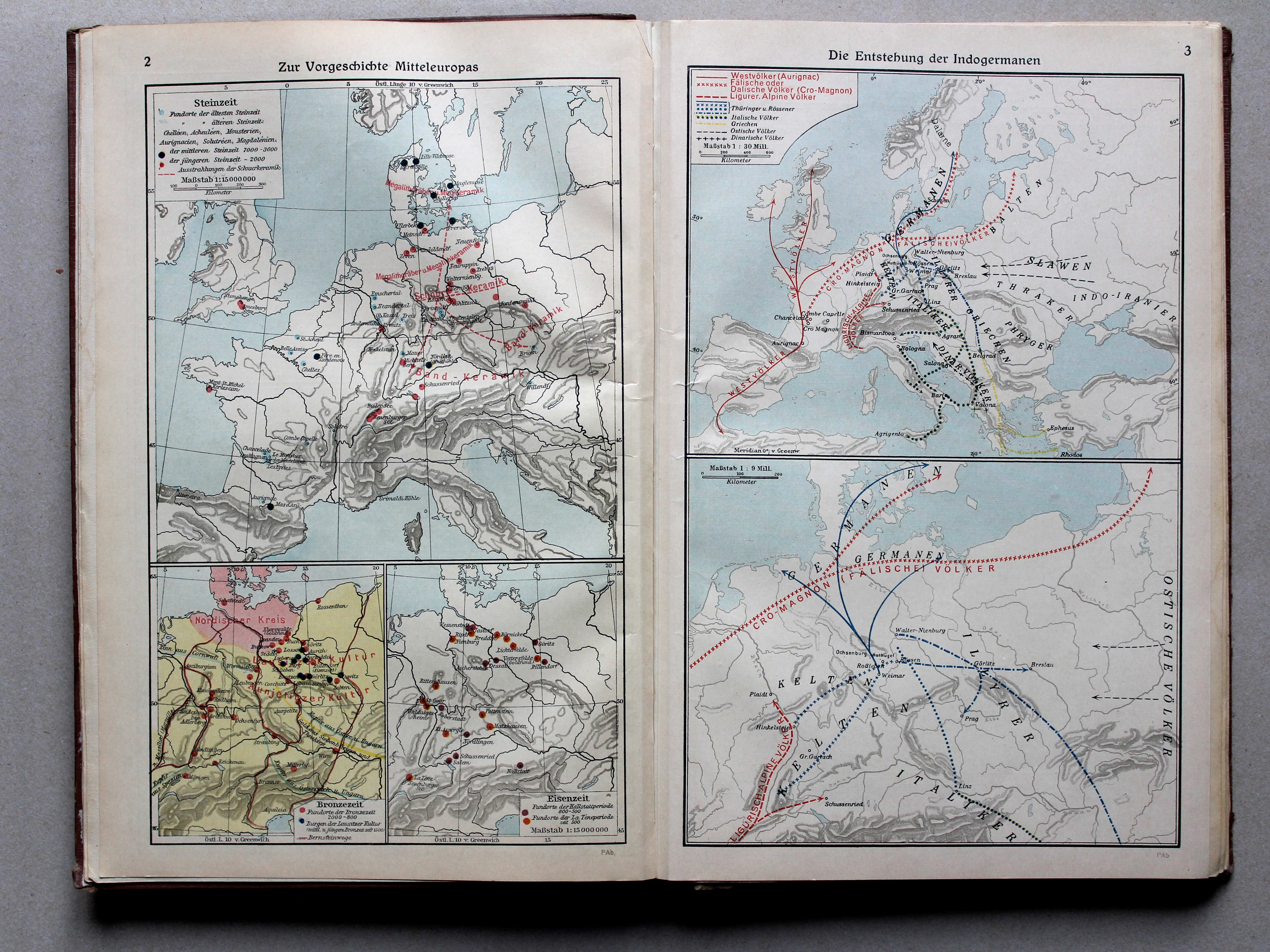
2. Zur Vorgeschichte Mitteleuropas XL
De prehistorie van Midden-Europa / The prehistory of Central Europe
3. Die Entstehung der Indogermanen XL
Ontstaan van de Indo-Germanen / Origin of the Indo-Aryan peoples
 Putzgers Historischer Schul-Atlas, Große Ausgabe, 1931/33
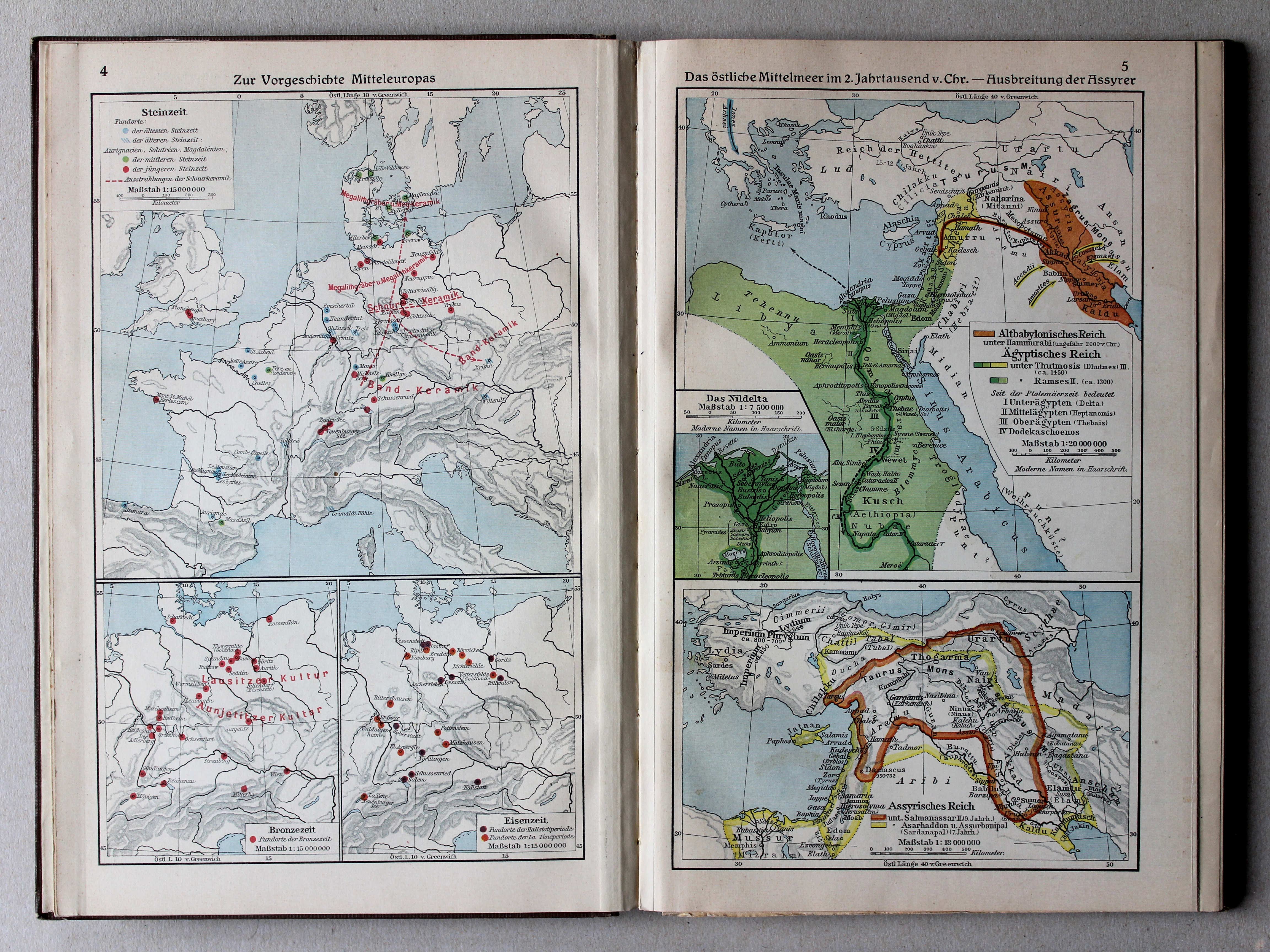
4. Zur Vorgeschichte Mitteleuropas XL
De prehistorie van Midden-Europa / The prehistory of Central Europe
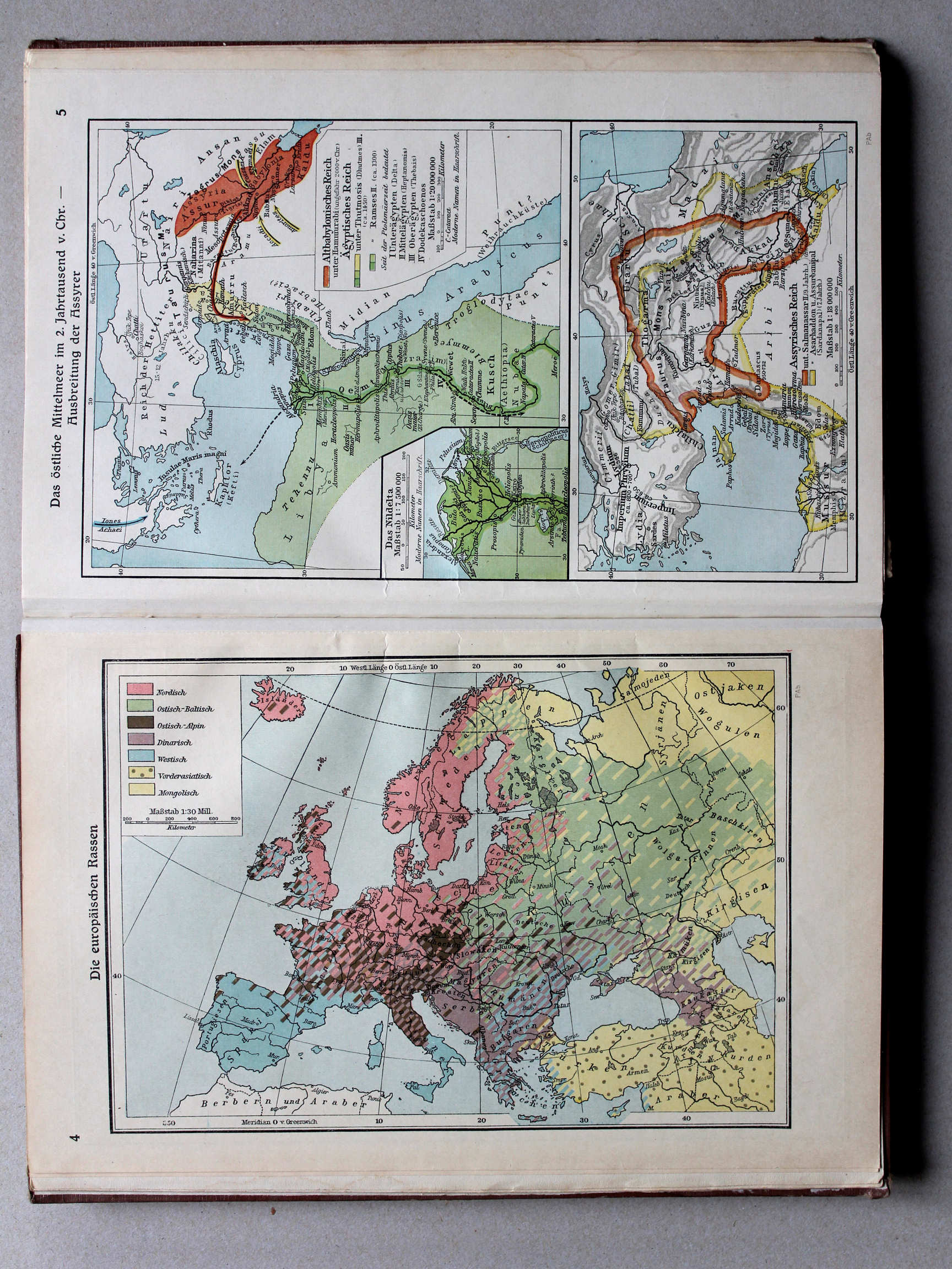
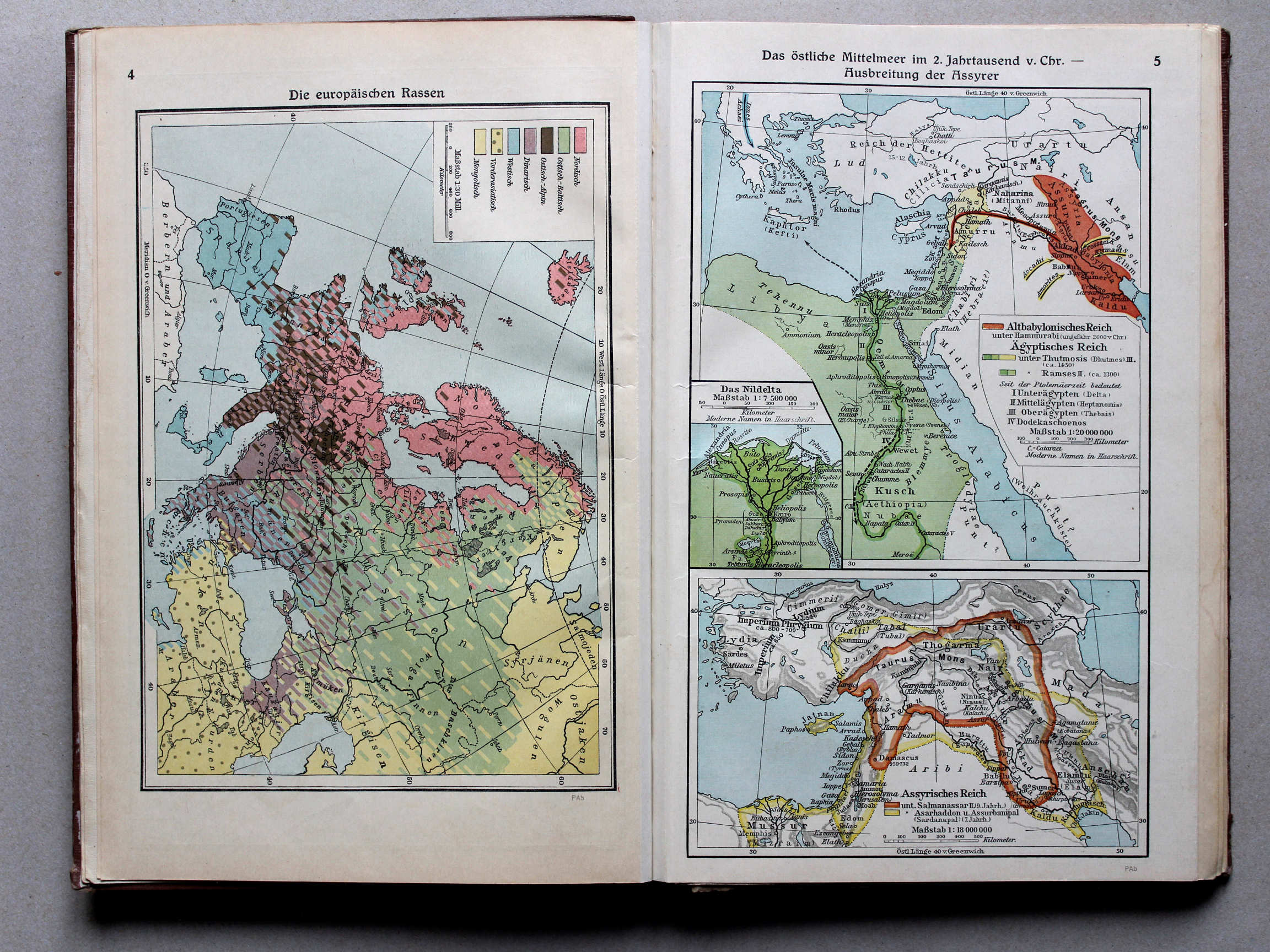
5. Das östliche Mittelmeer im 2. Jahrtausend v. Chr. – Ausbreitung der Assyrer XL
Het oostelijke Middellandse Zeegebied in het 2e millennium voor Christus. Verspreiding van de Assyriërs / The Eastern Mediterranean in the 2nd millennium BC. Expansion of the Assyrians
 Putzgers Historischer Schul-Atlas, Große Ausgabe, 1934
4. Die europäischen Rassen XL
Rassen in Europa / Races in Europe
 Putzgers Historischer Schul-Atlas, Große Ausgabe, 1931/33
geen overeenkomstige kaart / no corresponding map
 Putzgers Historischer Schul-Atlas, Große Ausgabe, 1934
5. Das östliche Mittelmeer im 2. Jahrtausend v. Chr. – Ausbreitung der Assyrer XL
Het oostelijke Middellandse Zeegebied in het 2e millennium voor Christus. Verspreiding van de Assyriërs / The Eastern Mediterranean in the 2nd millennium BC. Expansion of the Assyrians
Putzgers Historischer Schul-Atlas, Große Ausgabe, 1931/33
4. Zur Vorgeschichte Mitteleuropas XL
De prehistorie van Midden-Europa / The prehistory of Central Europe
5. Das östliche Mittelmeer im 2. Jahrtausend v. Chr. – Ausbreitung der Assyrer XL
Het oostelijke Middellandse Zeegebied in het 2e millennium voor Christus. Verspreiding van de Assyriërs / The Eastern Mediterranean in the 2nd millennium BC. Expansion of the Assyrians
 Putzgers Historischer Schul-Atlas, Große Ausgabe, 1934
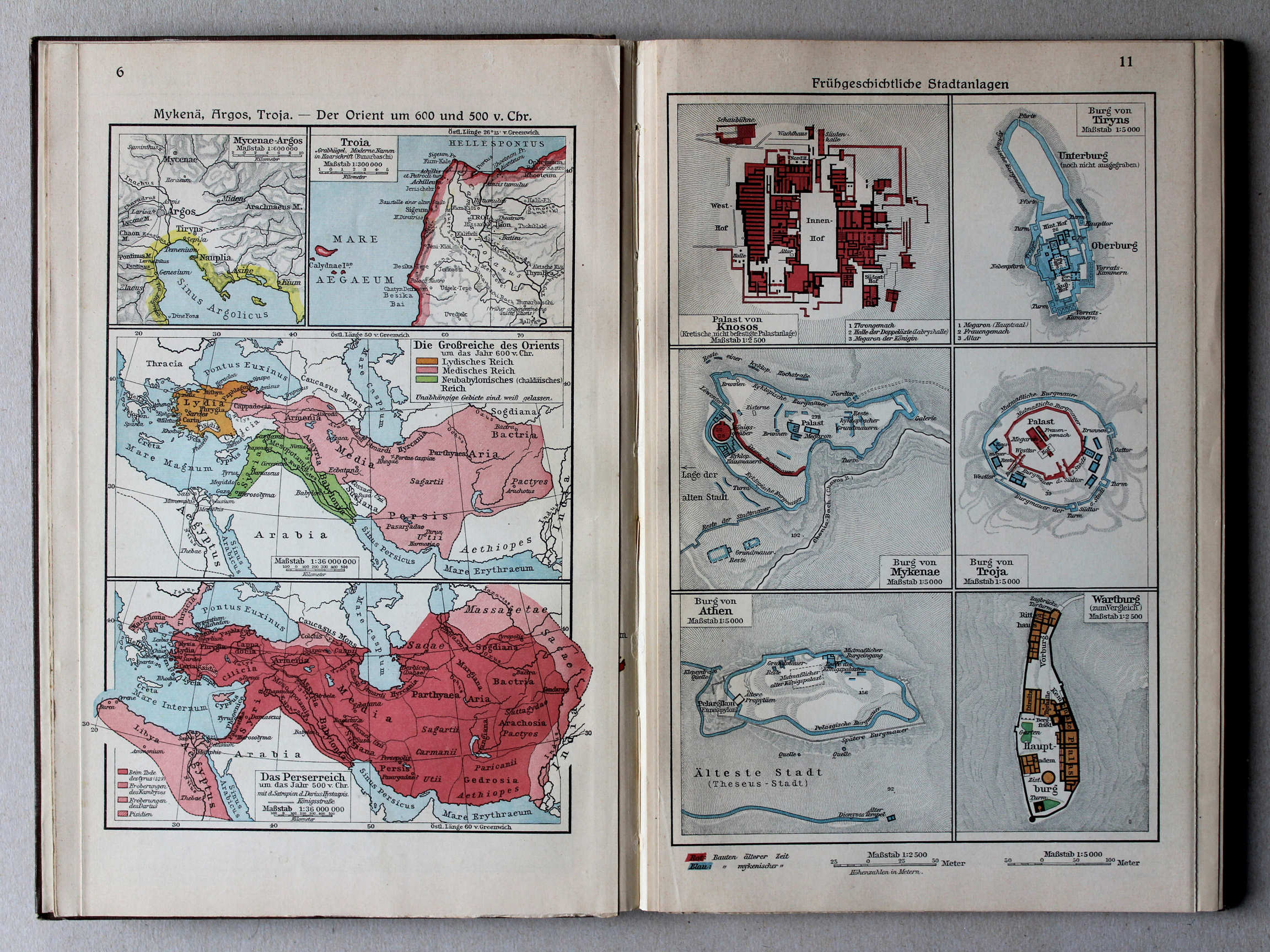
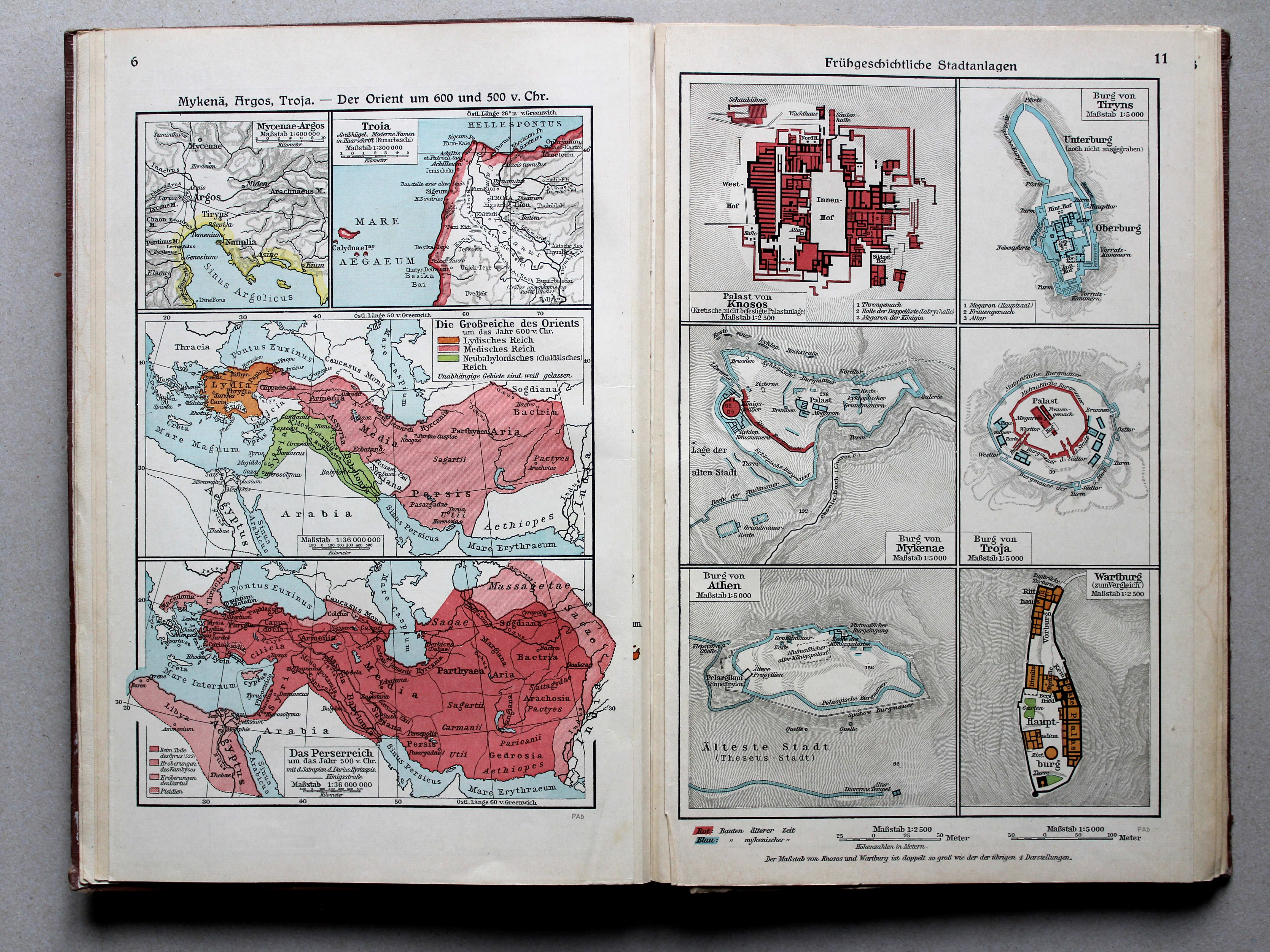
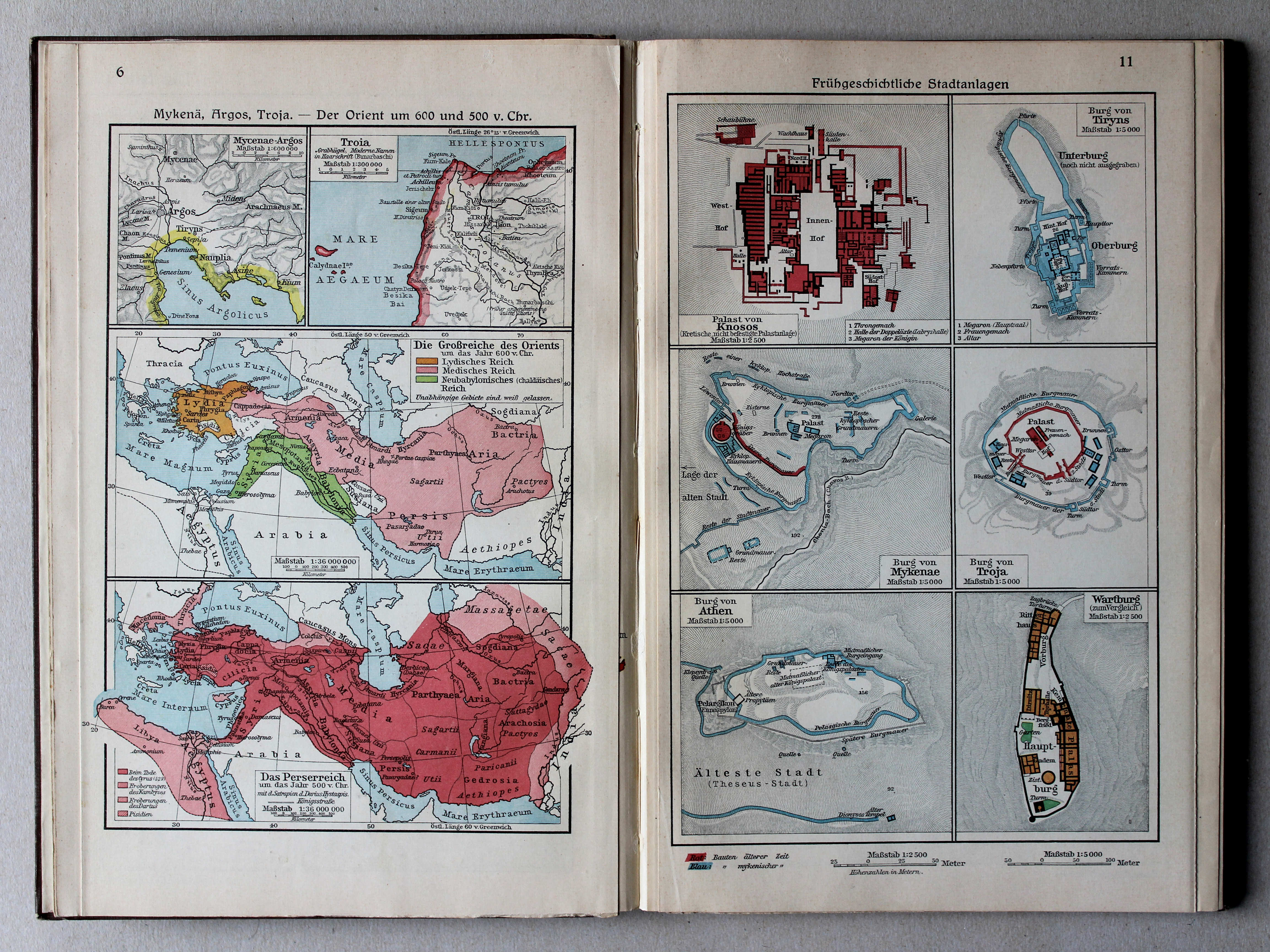
6. Mykenä, Argos, Troja – Der Orient um 600 und 500 v. Chr. XL
Mycene, Argos, Troje. De Oriënt rond 600 en 500 voor Christus / Mycenae, Argos, Troy. The Orient around 600 and 500 BC
11. Frühgeschichtliche Stadtanlagen XL
Vroeghistorische steden / Early historic cities
 Putzgers Historischer Schul-Atlas, Große Ausgabe, 1931/33
6. Mykenä, Argos, Troja – Der Orient um 600 u. 500 v. Chr. XL
Mycene, Argos, Troje. De Oriënt rond 600 en 500 voor Christus / Mycenae, Argos, Troy. The Orient around 600 and 500 BC
11. Frühgeschichtliche Stadtanlagen XL
Vroeghistorische steden / Early historic cities
 Putzgers Historischer Schul-Atlas, Große Ausgabe, 1934
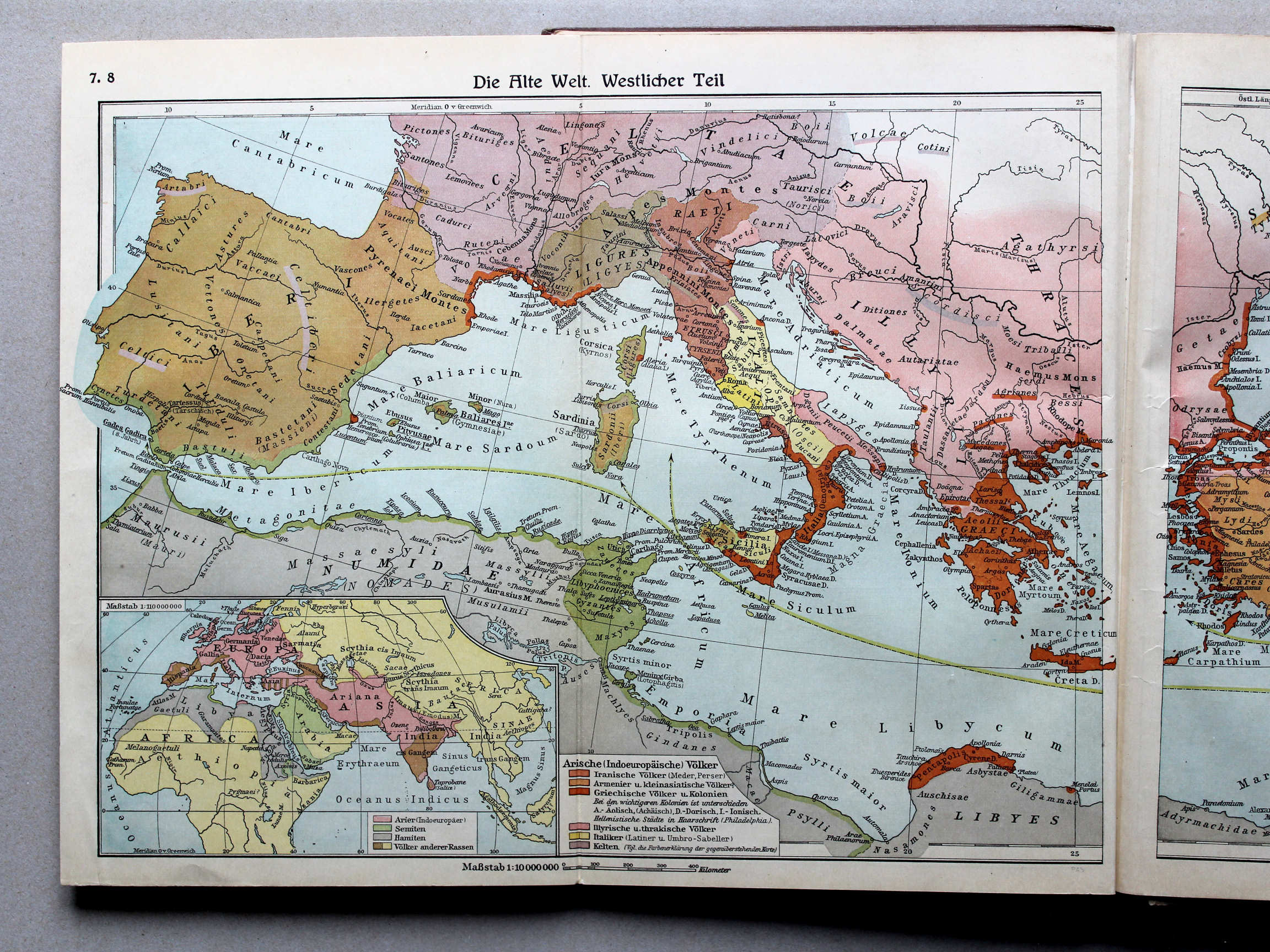
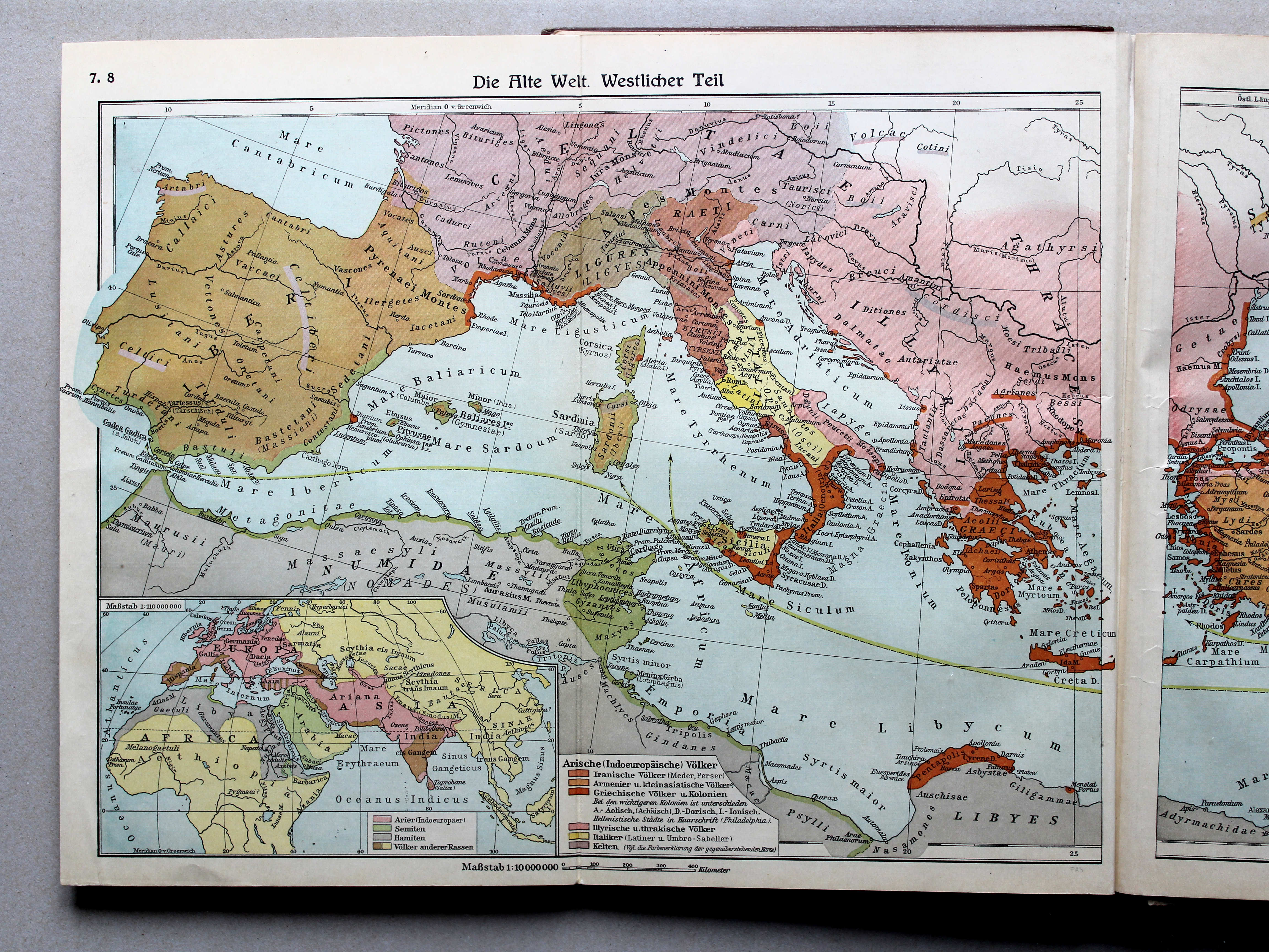
7.8. Die Alte Welt. Westlicher Teil XL
De wereld in de Oudheid, westelijk deel / The Ancient world, western part
 Putzgers Historischer Schul-Atlas, Große Ausgabe, 1931/33
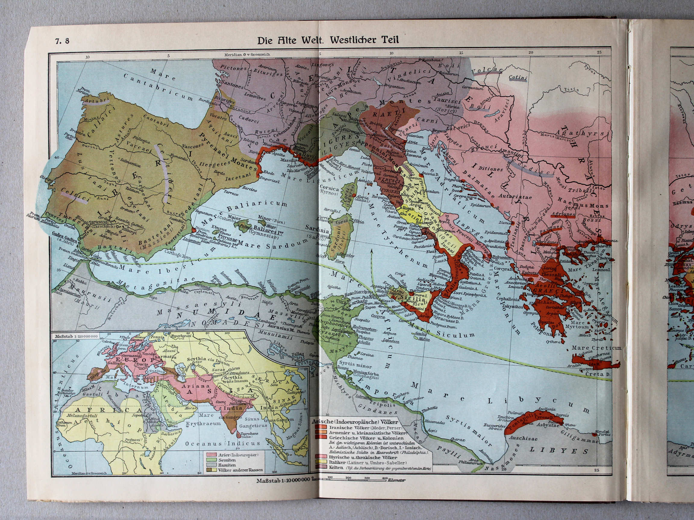
7.8. Die Alte Welt. Westlicher Teil XL
De wereld in de Oudheid, westelijk deel / The Ancient world, western part
 Putzgers Historischer Schul-Atlas, Große Ausgabe, 1934
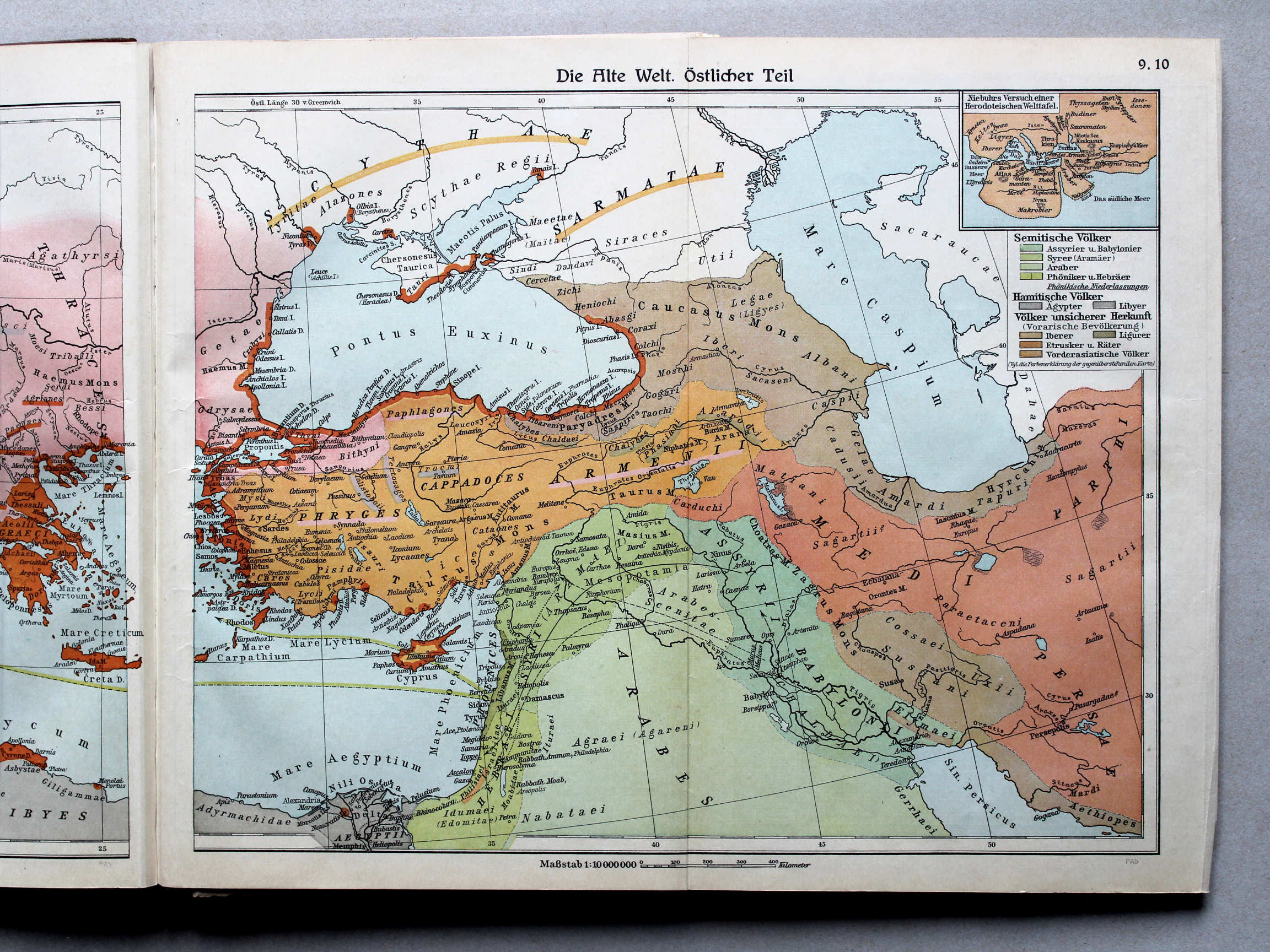
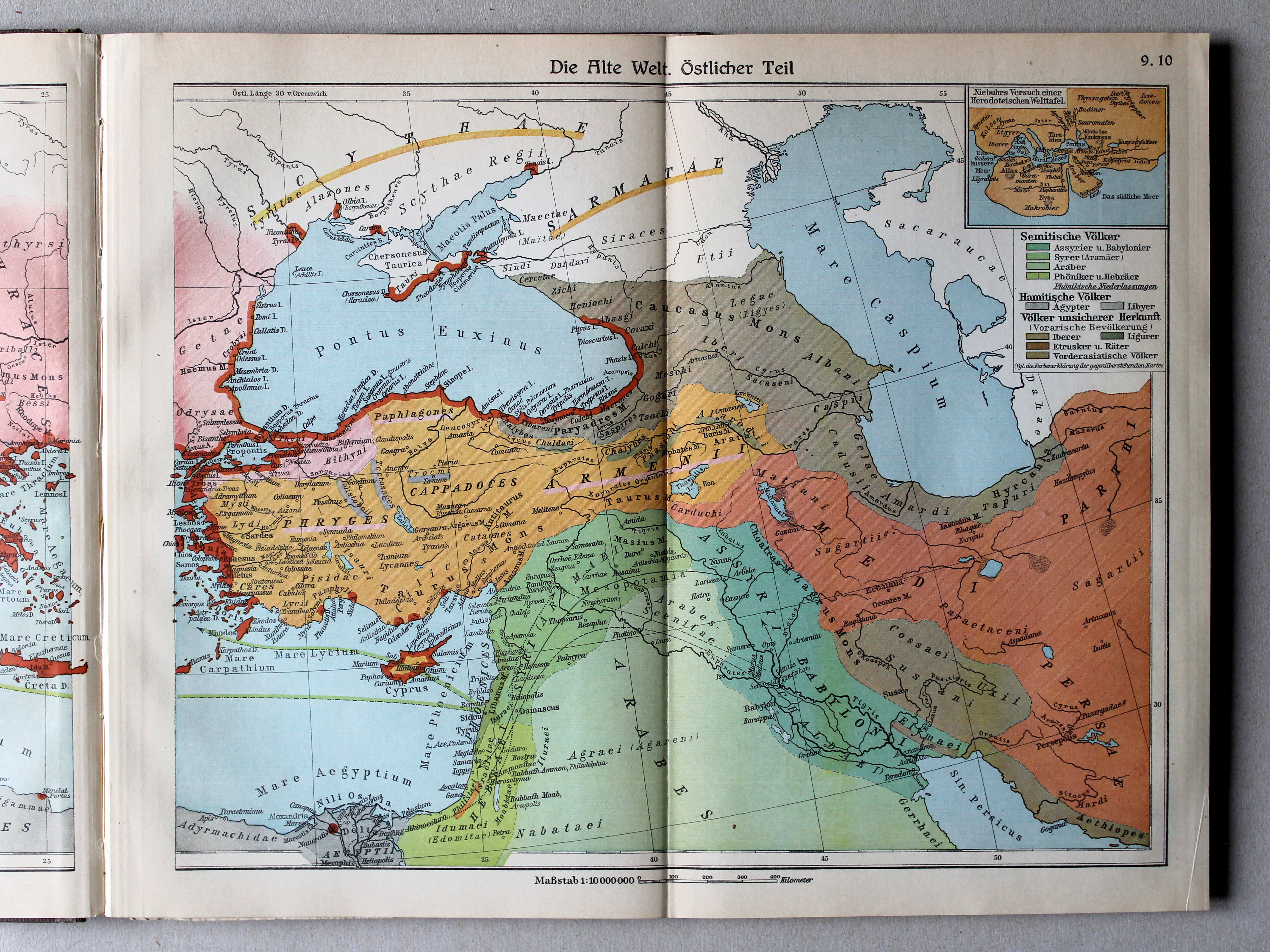
9.10. Die Alte Welt. Östlicher Teil XL
De wereld in de Oudheid, oostelijk deel / The Ancient world, eastern part
 Putzgers Historischer Schul-Atlas, Große Ausgabe, 1931/33
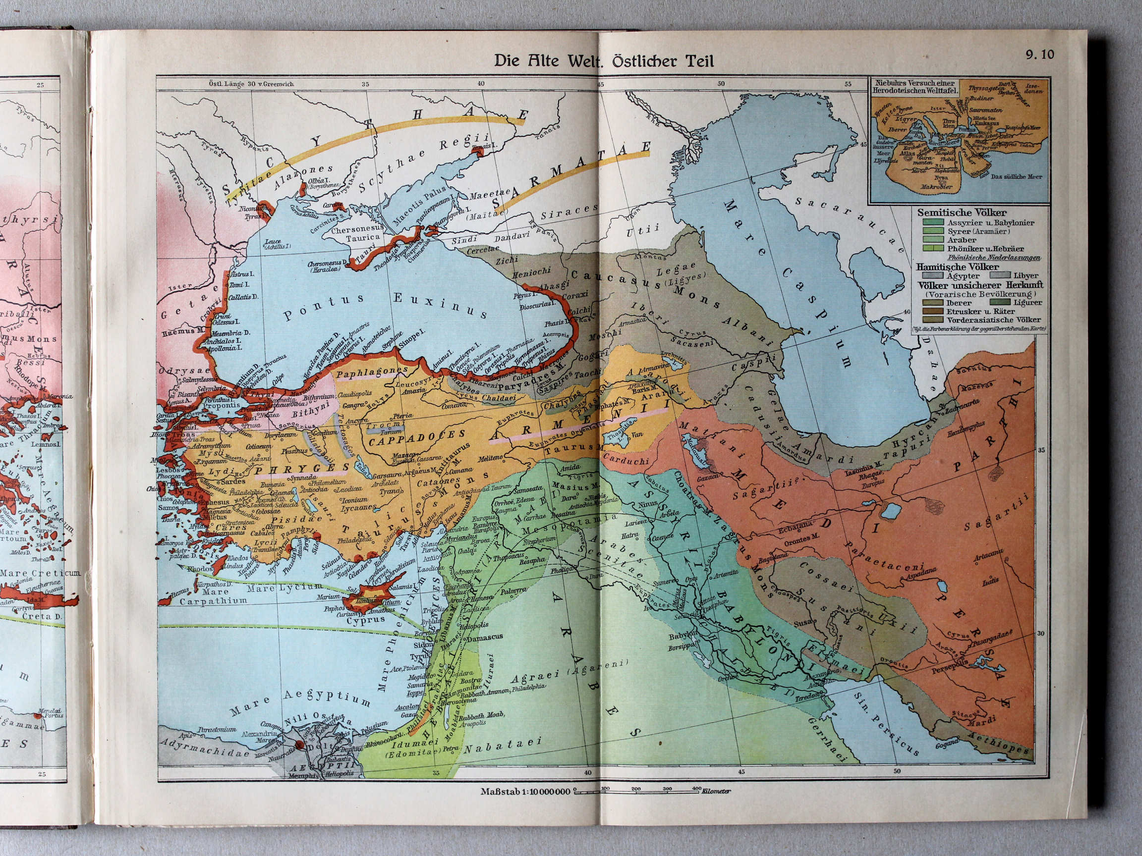
9.10. Die Alte Welt. Östlicher Teil XL
De wereld in de Oudheid, oostelijk deel / The Ancient world, eastern part
 Putzgers Historischer Schul-Atlas, Große Ausgabe, 1934
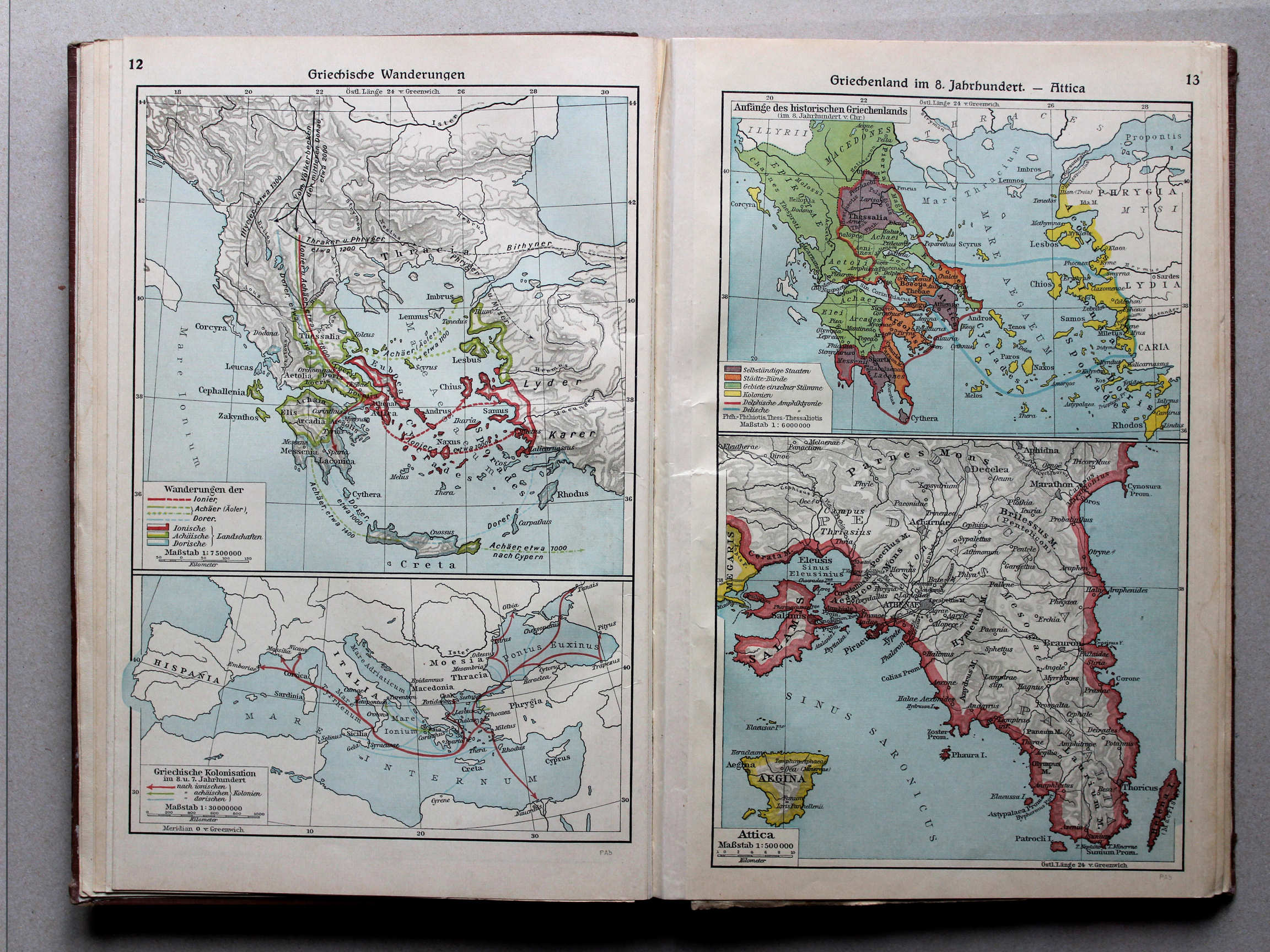
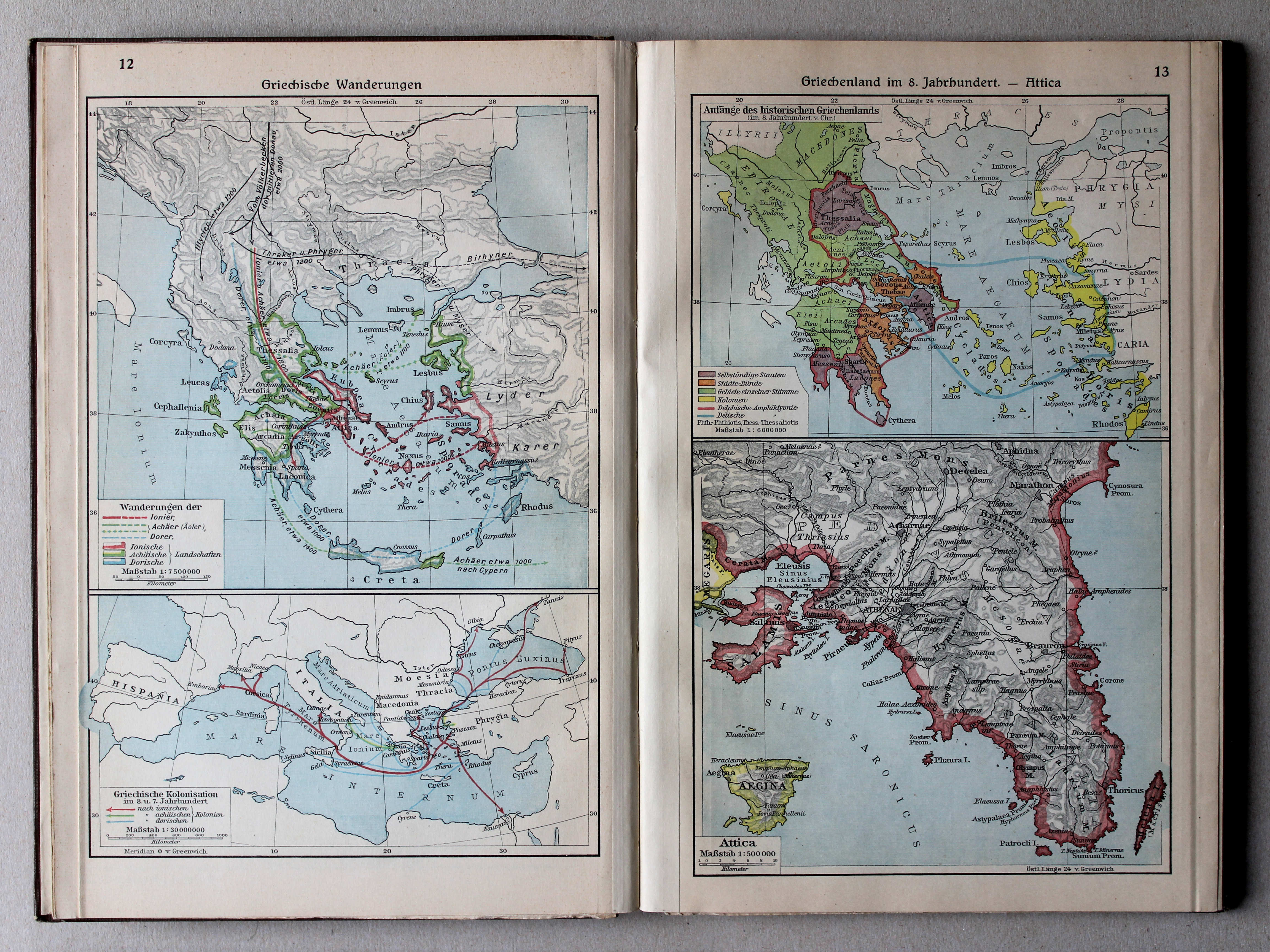
12. Griechische Wanderungen XL
Griekse migratie / Greek migration
13. Griechenland im 8. Jahrhundert – Attica XL
Griekenland in de 8e eeuw. Attica / Greece in the 8th century. Attica
 Putzgers Historischer Schul-Atlas, Große Ausgabe, 1931/33
12. Griechische Wanderungen XL
Griekse migratie / Greek migration
13. Griechenland im 8. Jahrhundert – Attica XL
Griekenland in de 8e eeuw. Attica / Greece in the 8th century. Attica
 Putzgers Historischer Schul-Atlas, Große Ausgabe, 1934
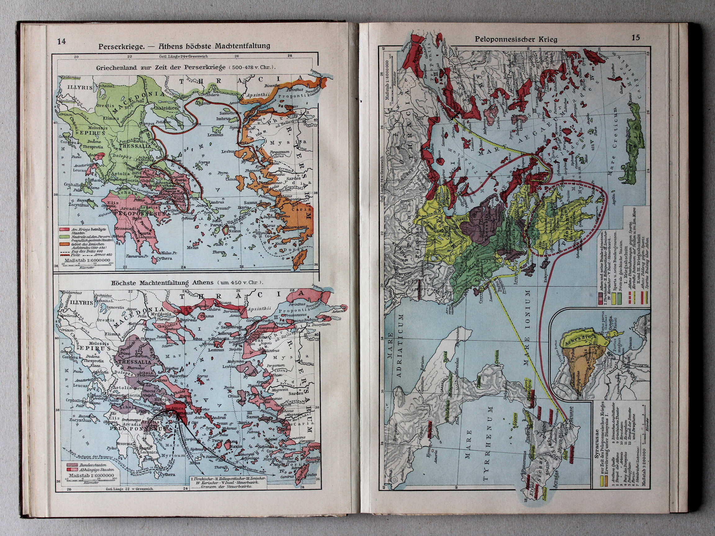
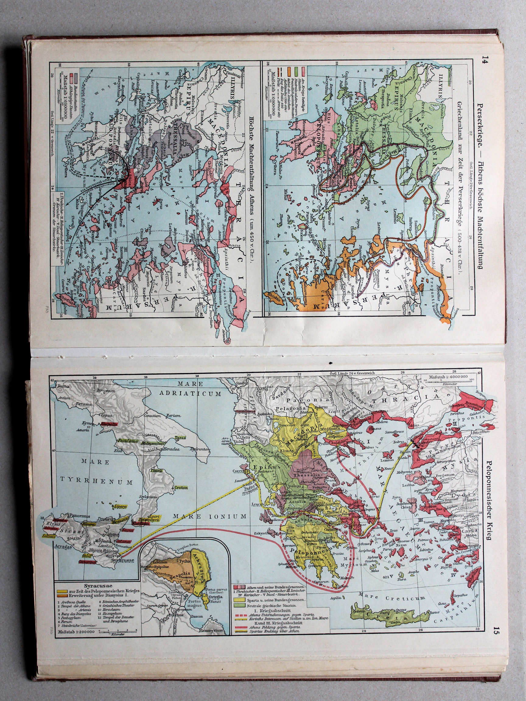
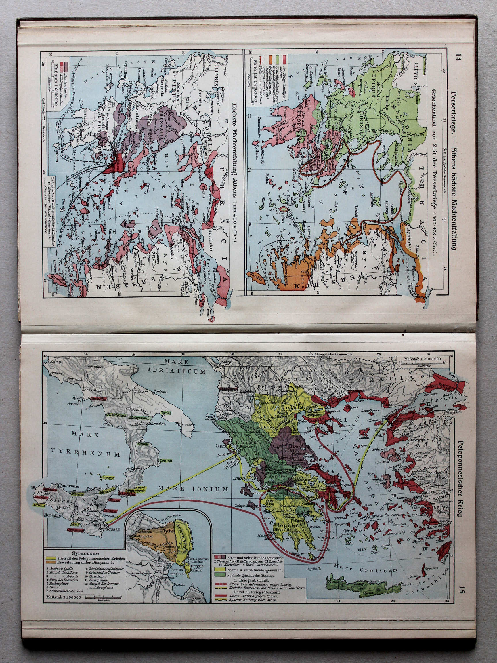
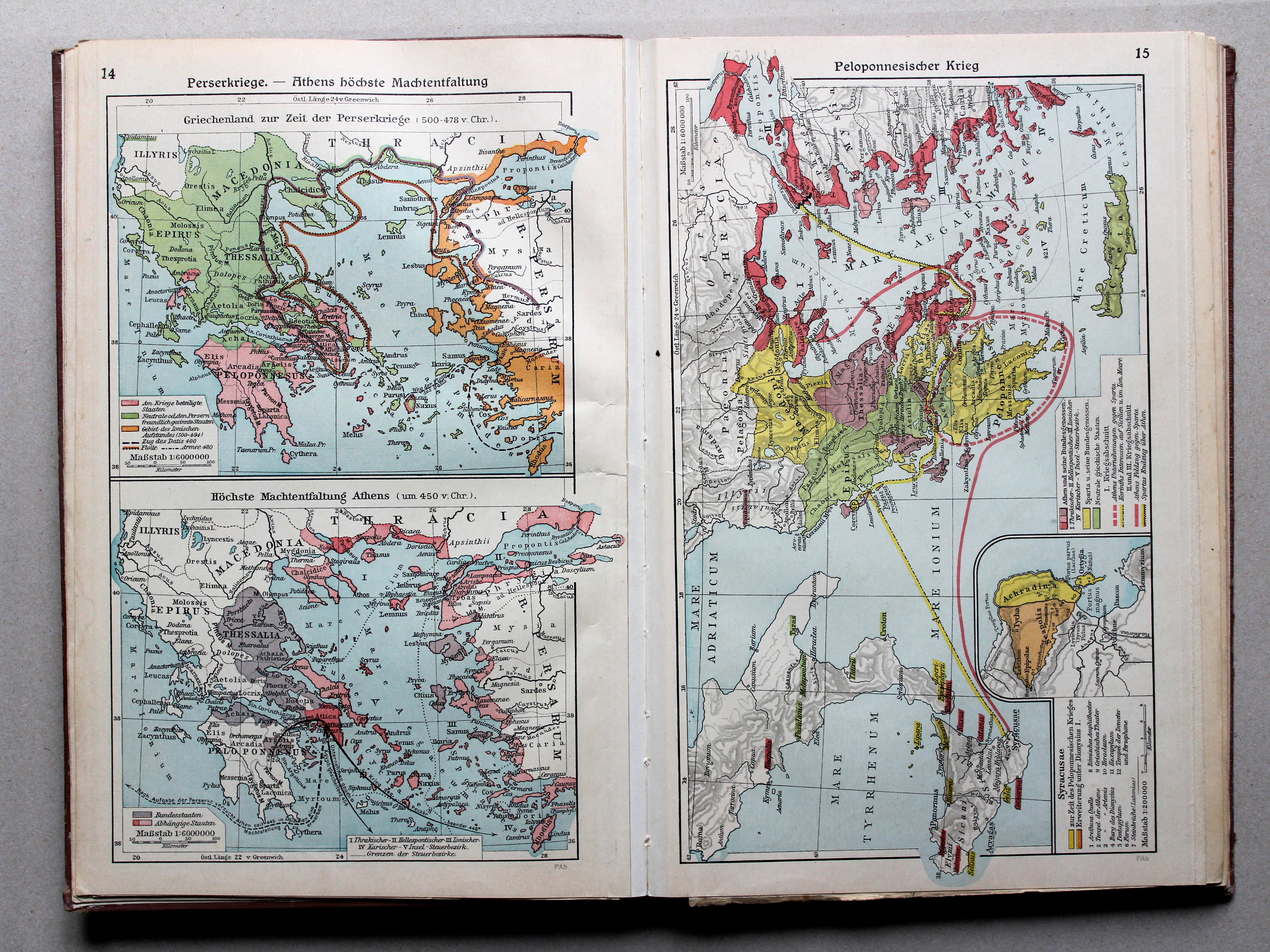
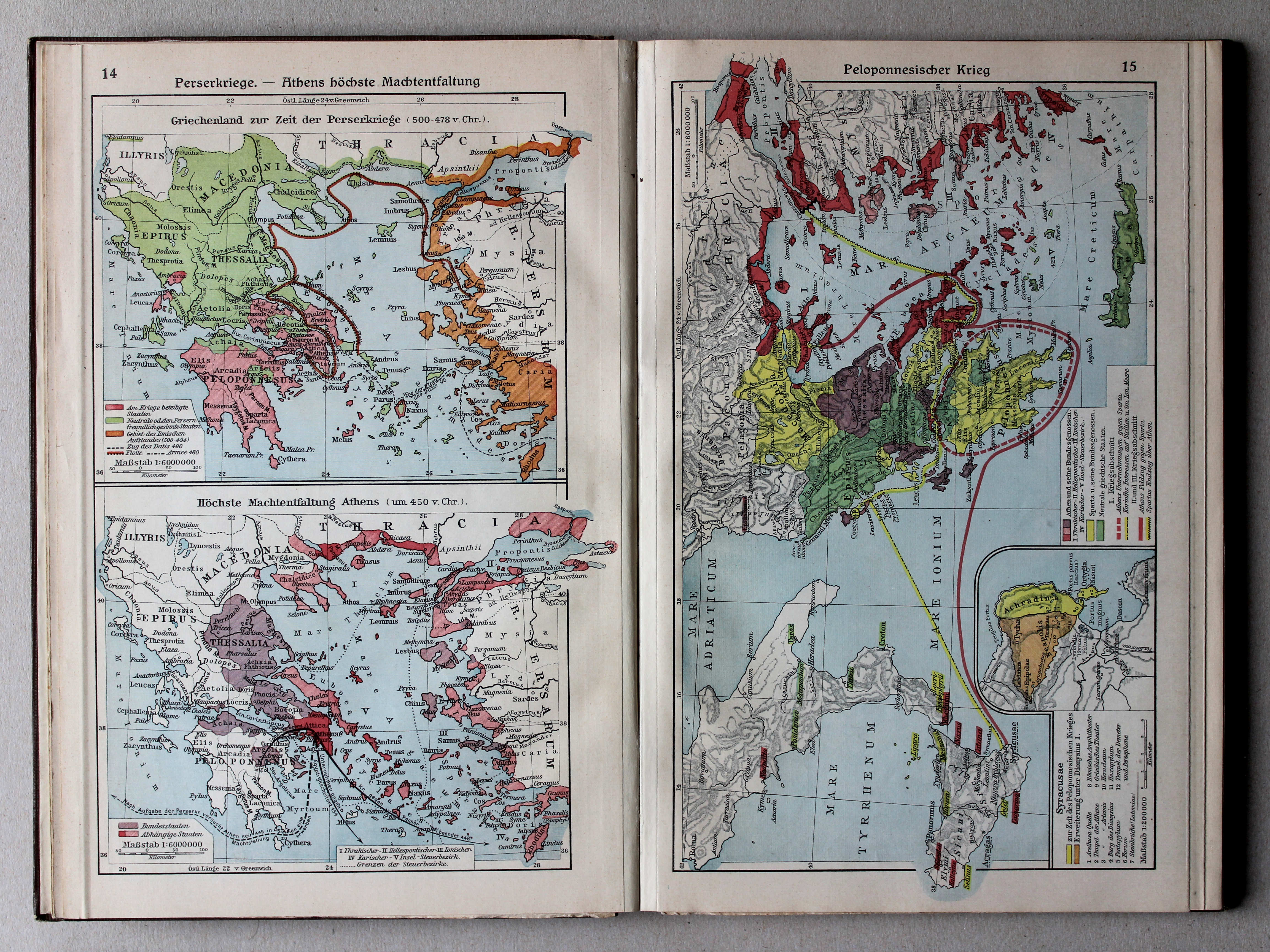
14. Perserkriege – Athens höchste Machtentfaltung XL
Perzische Oorlogen. Het toppunt van de macht van Athene / Greco-Persian Wars. The summit of Athens' power
 Putzgers Historischer Schul-Atlas, Große Ausgabe, 1931/33
14. Perserkriege – Athens höchste Machtentfaltung XL
Perzische Oorlogen. Het toppunt van de macht van Athene / Greco-Persian Wars. The summit of Athens' power
 Putzgers Historischer Schul-Atlas, Große Ausgabe, 1934
15. Peloponnesischer Krieg XL
Peloponnesische Oorlog / Peloponnesian War
 Putzgers Historischer Schul-Atlas, Große Ausgabe, 1931/33
15. Peloponnesischer Krieg XL
Peloponnesische Oorlog / Peloponnesian War
 Putzgers Historischer Schul-Atlas, Große Ausgabe, 1934
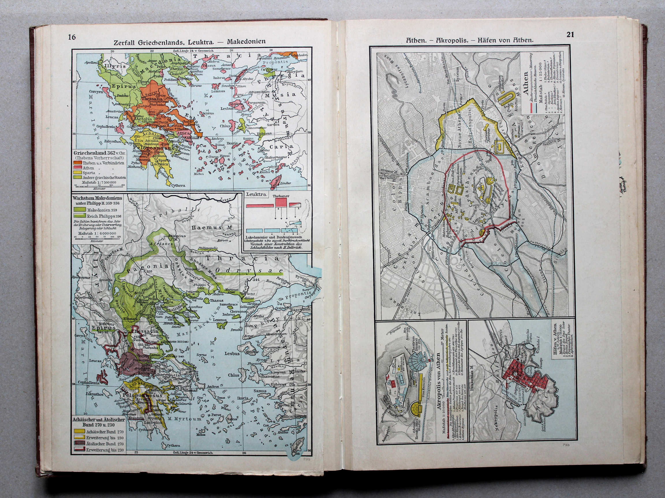
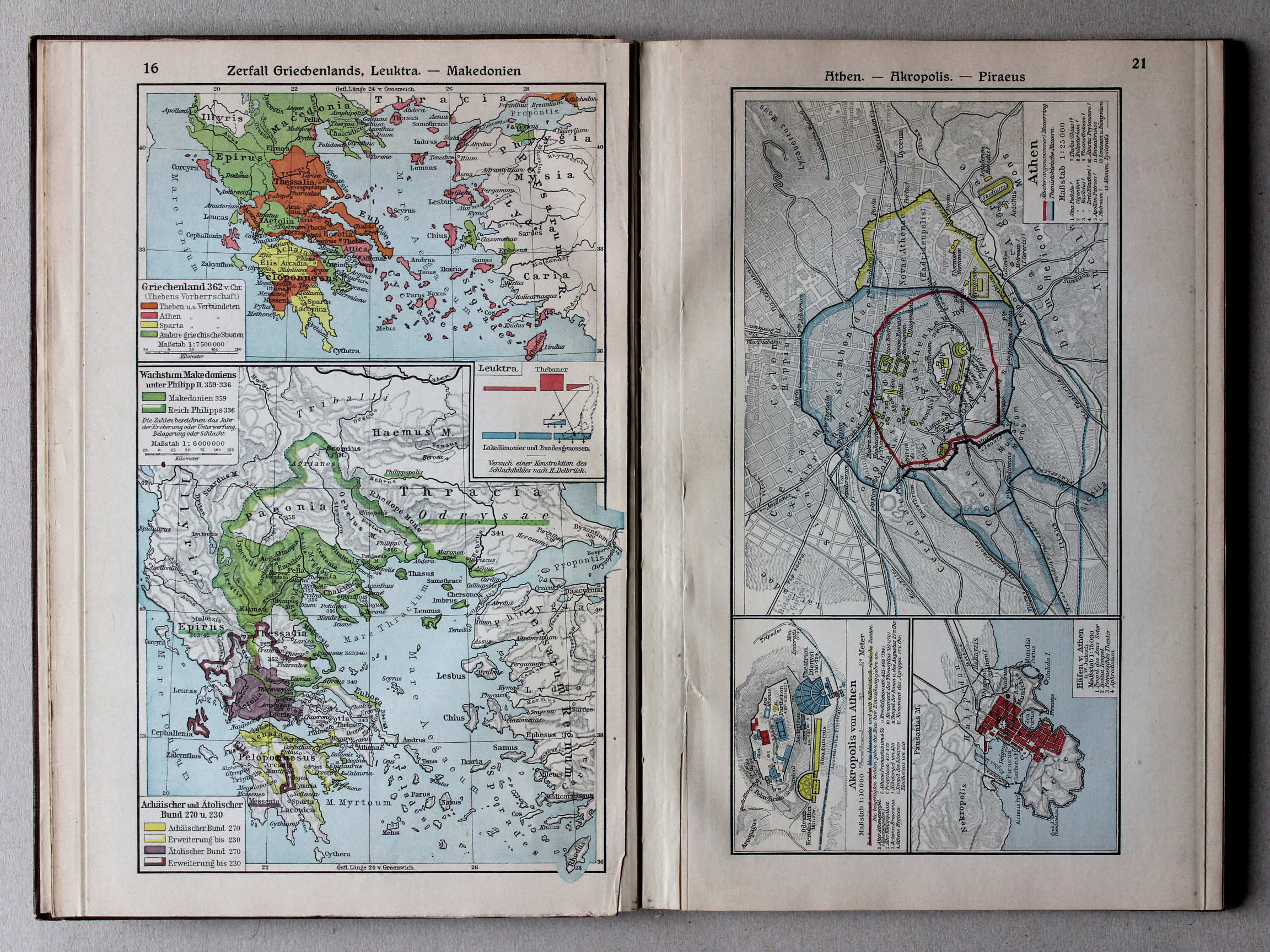
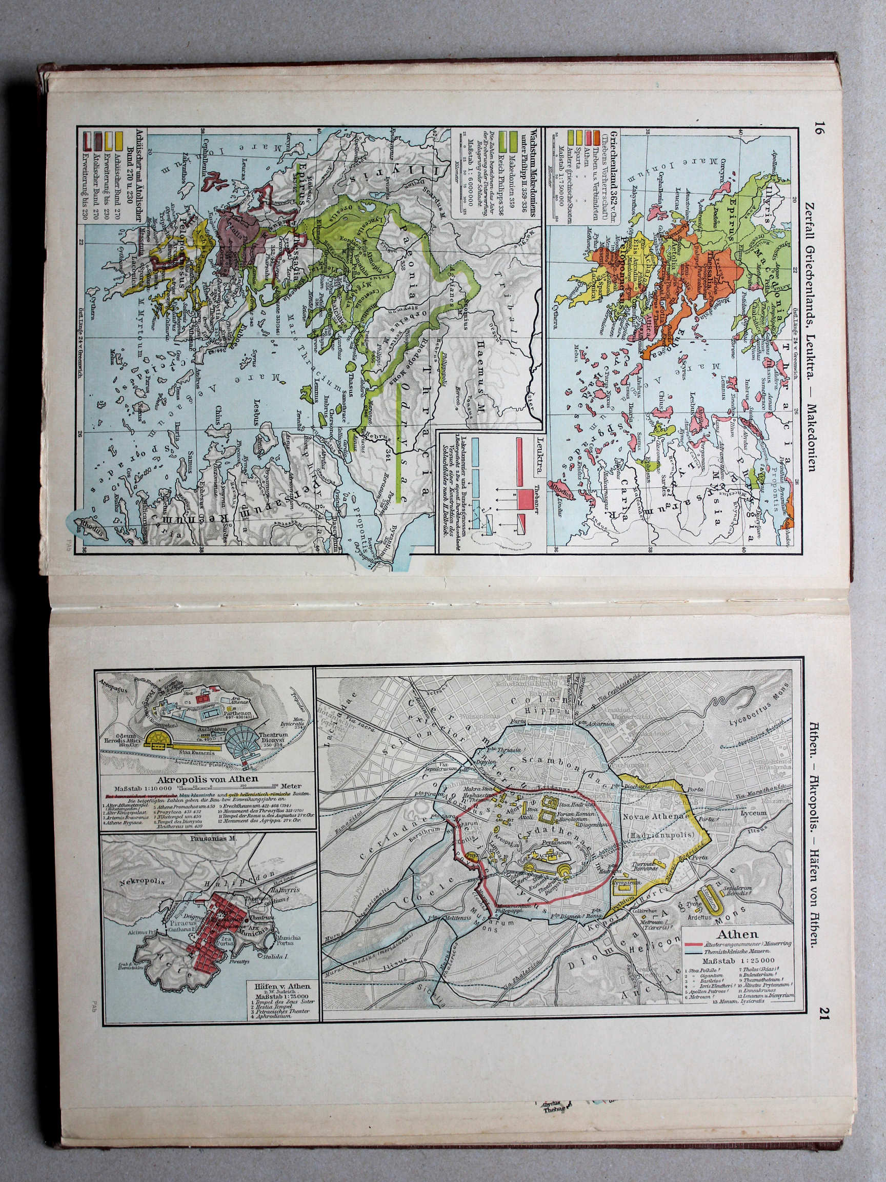
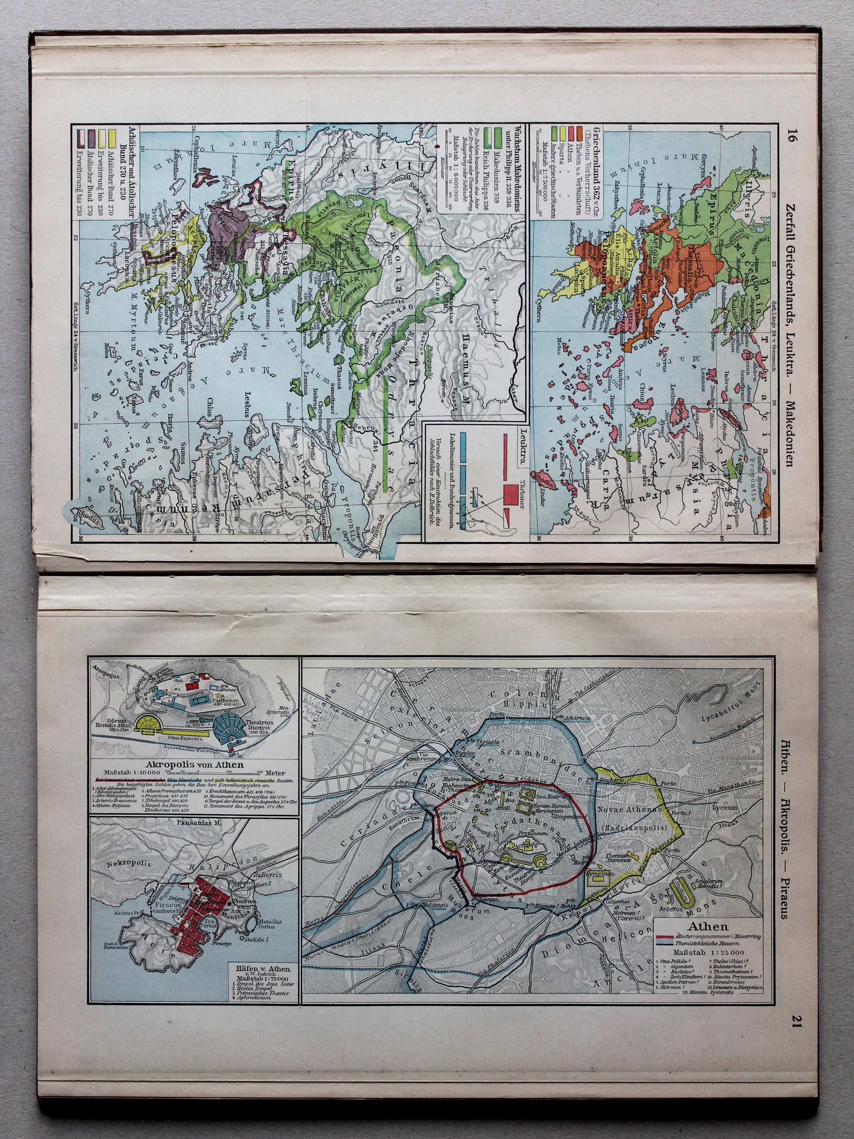
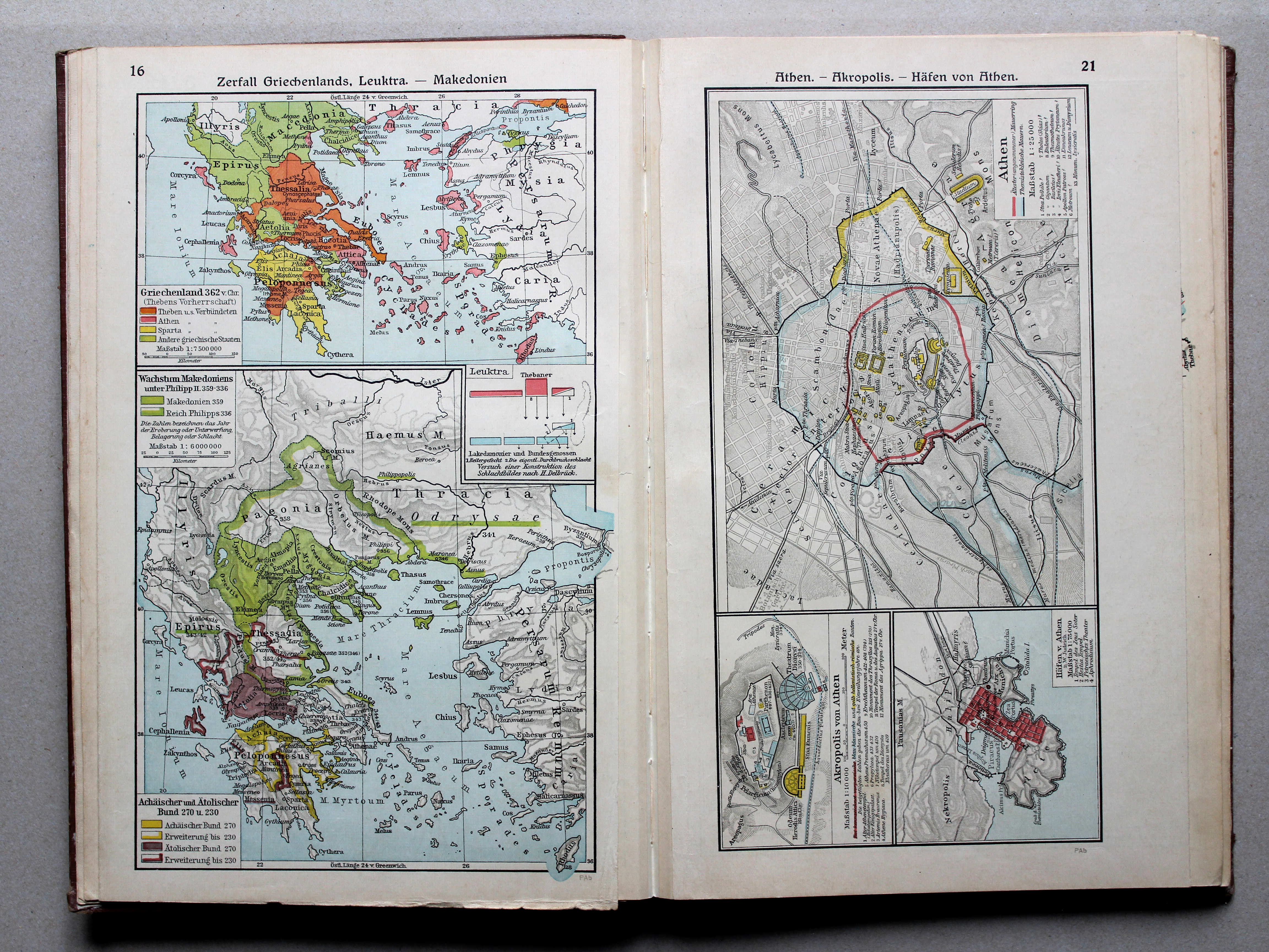
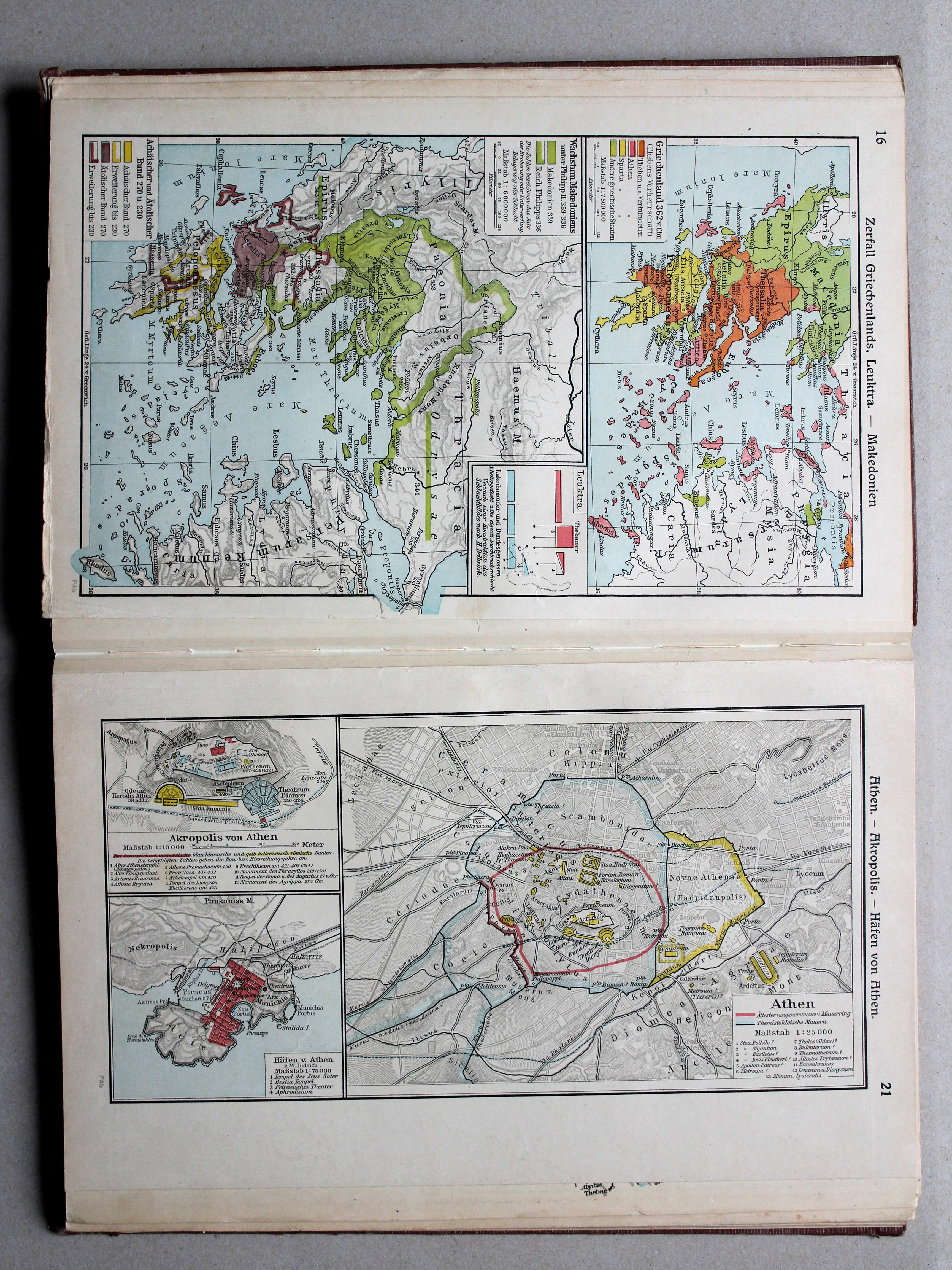
16. Zerfall Griechenlands, Leuktra – Makedonien XL
Verval van Griekenland, Leuktra. Macedonië / Decline of Greece, Leuctra. Macedonia
 Putzgers Historischer Schul-Atlas, Große Ausgabe, 1931/33
16. Zerfall Griechenlands, Leuktra – Makedonien XL
Verval van Griekenland, Leuktra. Macedonië / Decline of Greece, Leuctra. Macedonia
 Putzgers Historischer Schul-Atlas, Große Ausgabe, 1934
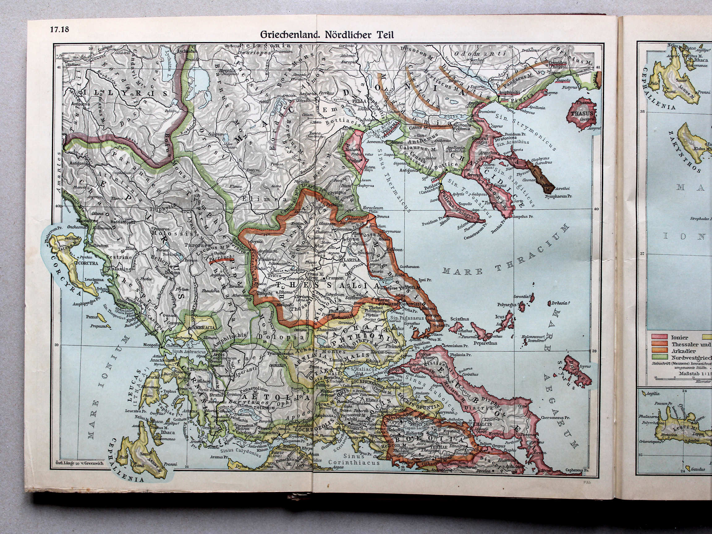
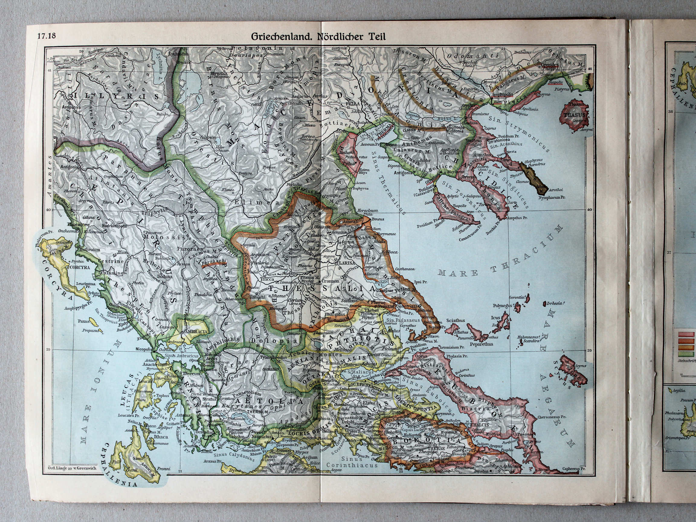
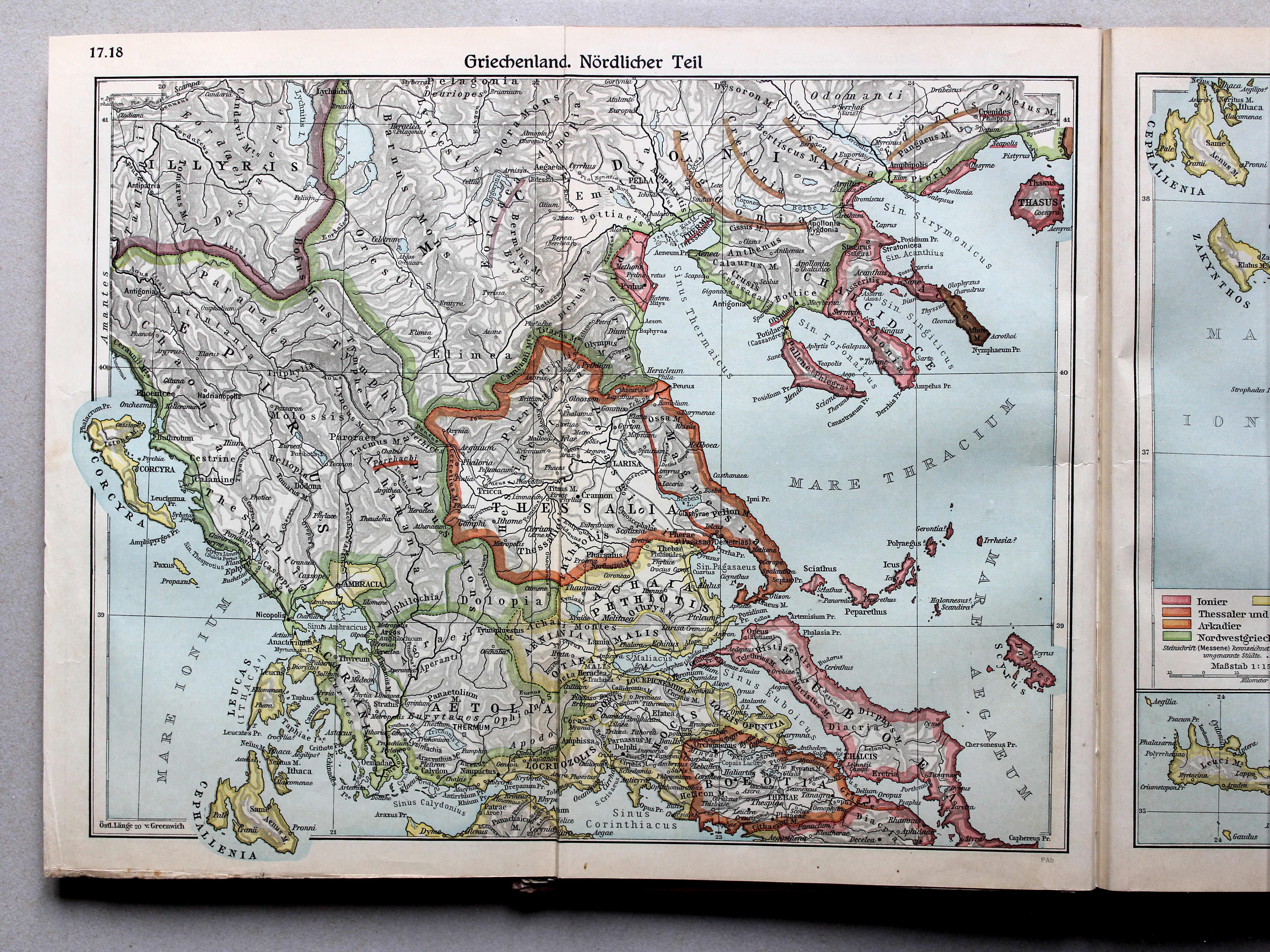
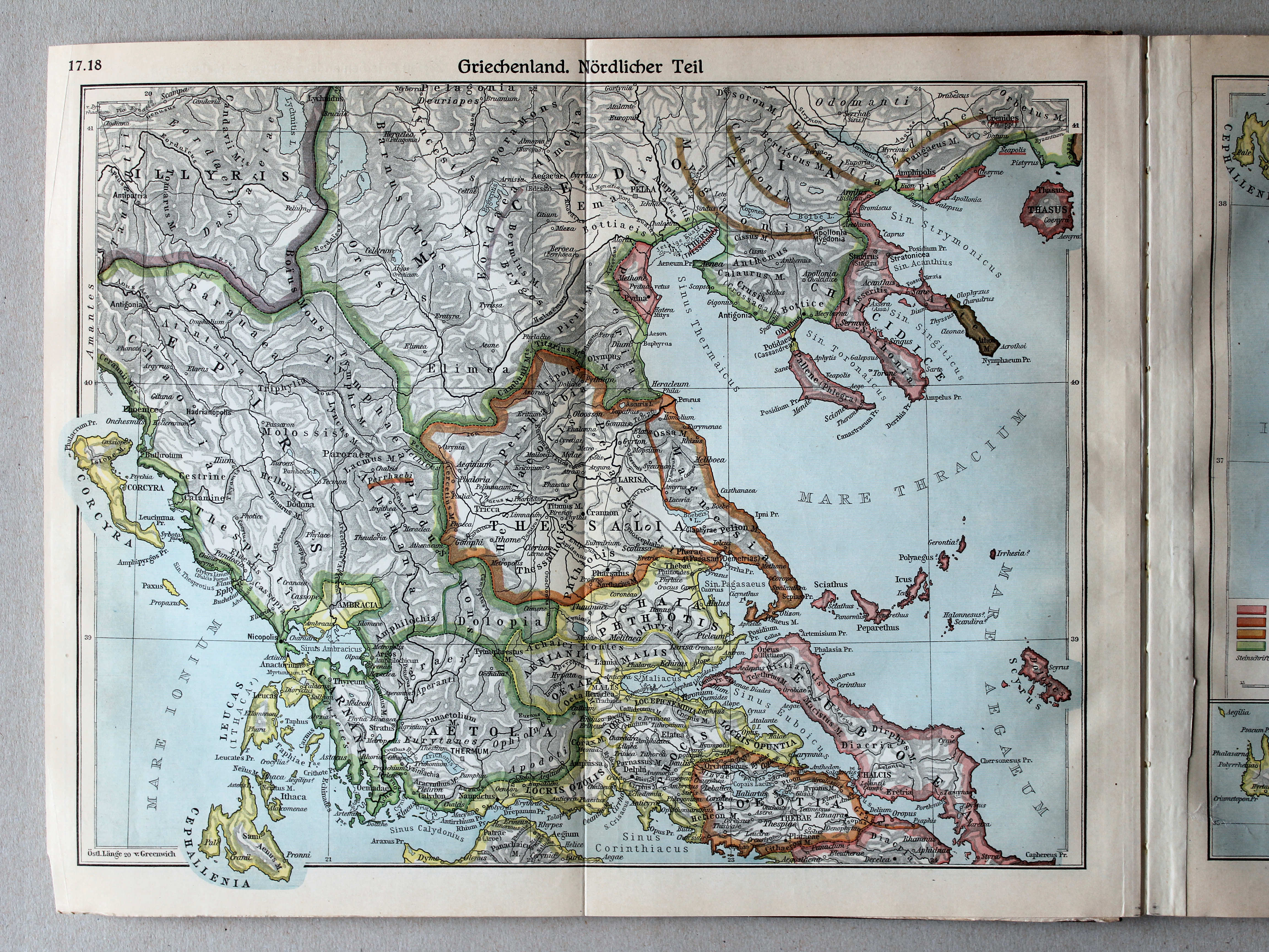
17.18. Griechenland. Nördlicher Teil XL
Griekenland, noordelijk deel / Greece, northern part
 Putzgers Historischer Schul-Atlas, Große Ausgabe, 1931/33
17.18. Griechenland. Nördlicher Teil XL
Griekenland, noordelijk deel / Greece, northern part
 Putzgers Historischer Schul-Atlas, Große Ausgabe, 1934
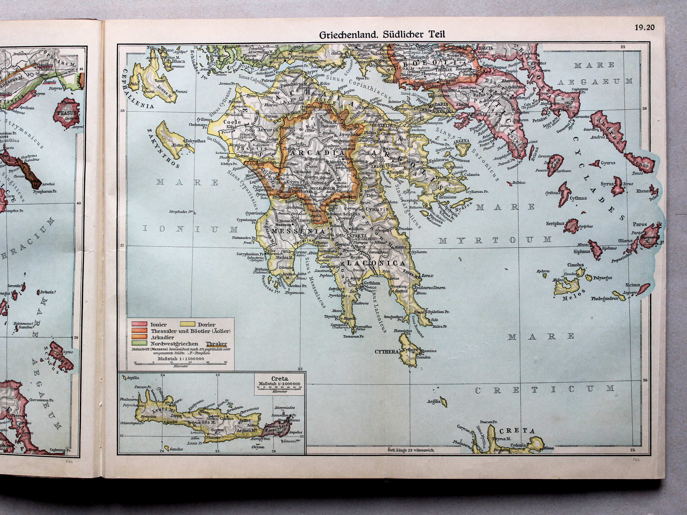
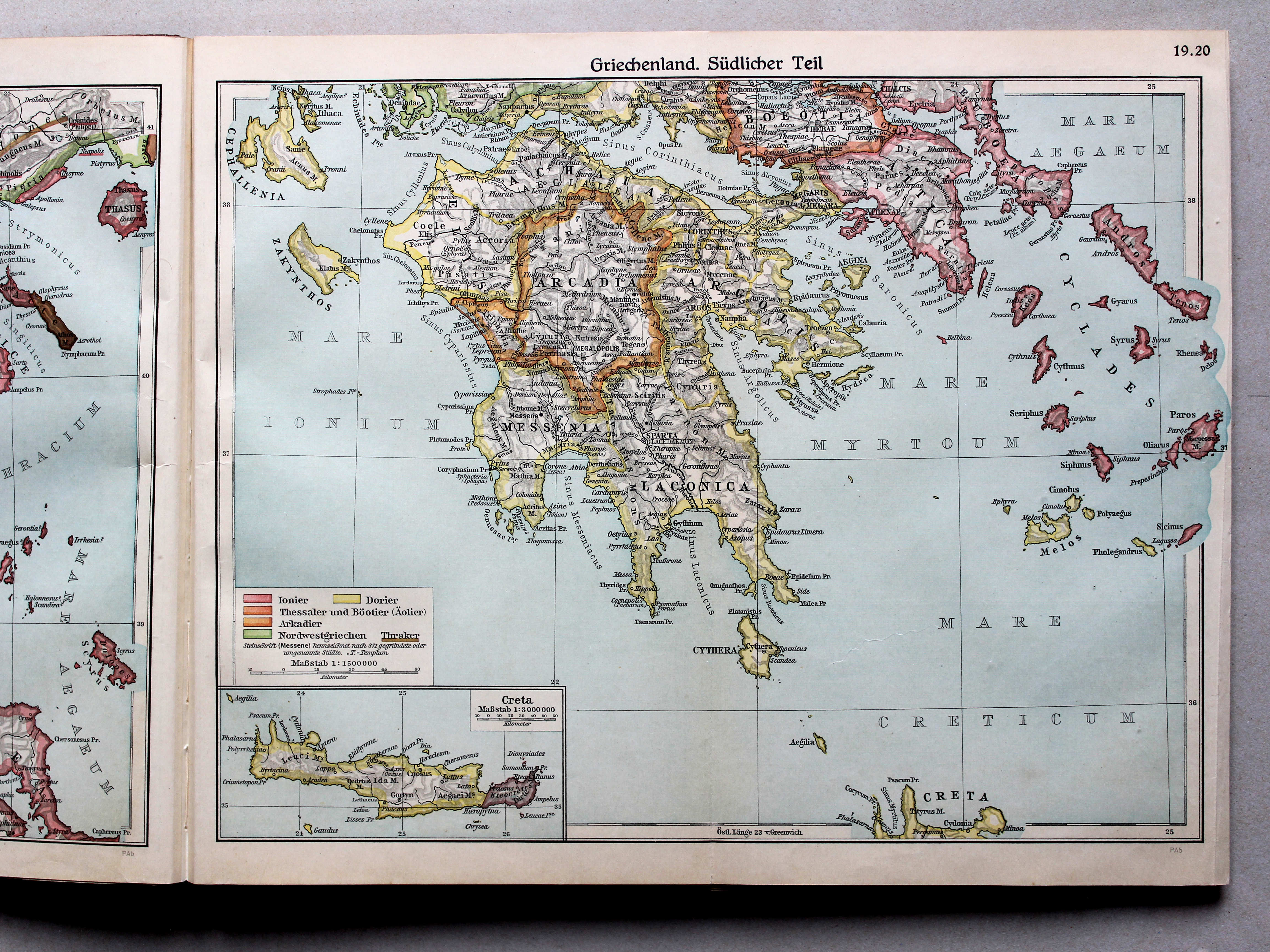
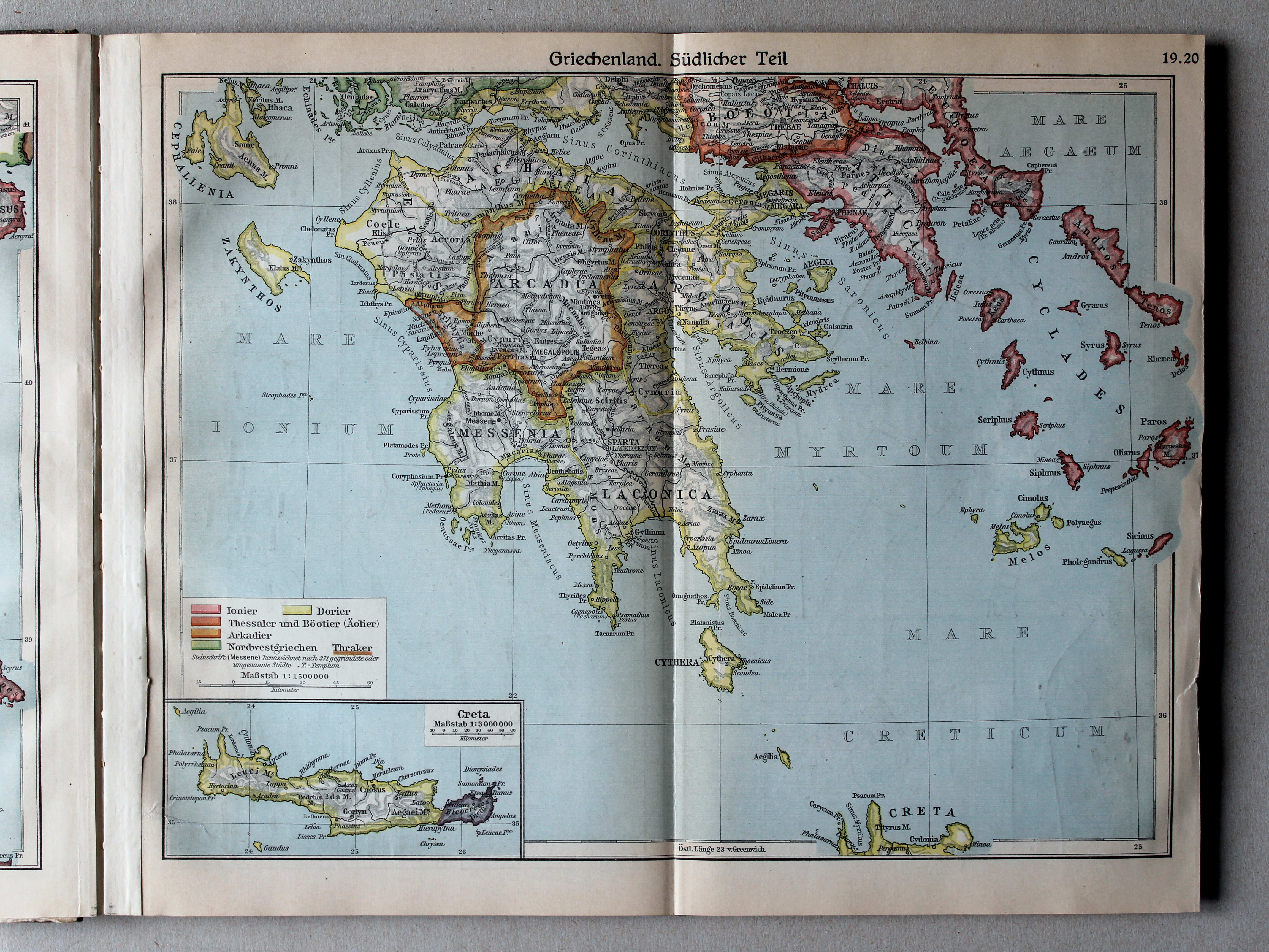
19.20. Griechenland. Südlicher Teil XL
Griekenland, zuidelijk deel / Greece, southern part
 Putzgers Historischer Schul-Atlas, Große Ausgabe, 1931/33
19.20. Griechenland. Südlicher Teil XL
Griekenland, zuidelijk deel / Greece, southern part
 Putzgers Historischer Schul-Atlas, Große Ausgabe, 1934
21. Athen – Akropolis – Häfen von Athen XL
Athene. Akropolis. Havens van Athene / Athens. Acropolis. Harbors of Athens
 Putzgers Historischer Schul-Atlas, Große Ausgabe, 1931/33
21. Athen – Akropolis – Piraeus XL
Athene. Akropolis. Piraeus / Athens. Acropolis. Piraeus
 Putzgers Historischer Schul-Atlas, Große Ausgabe, 1934
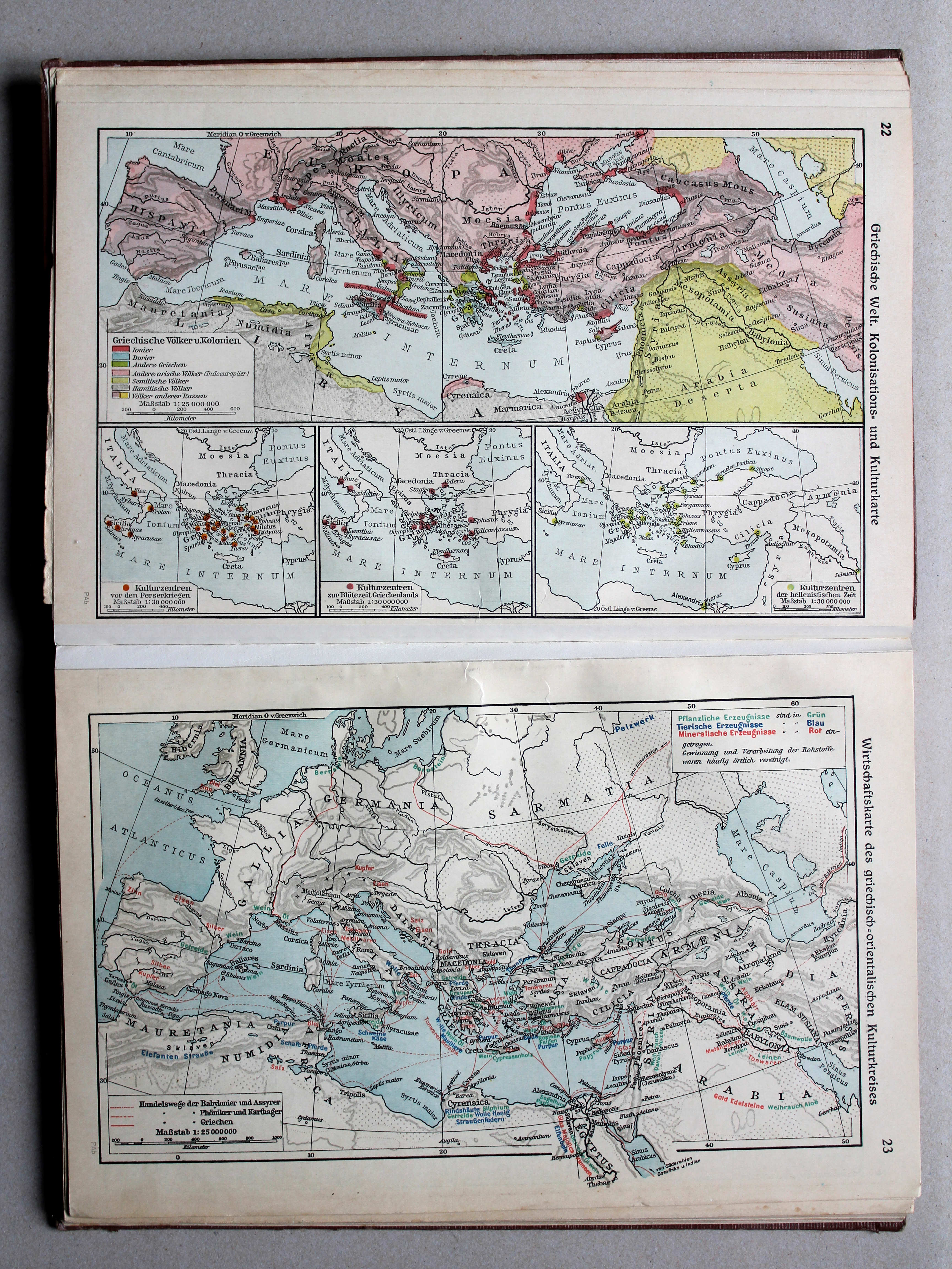
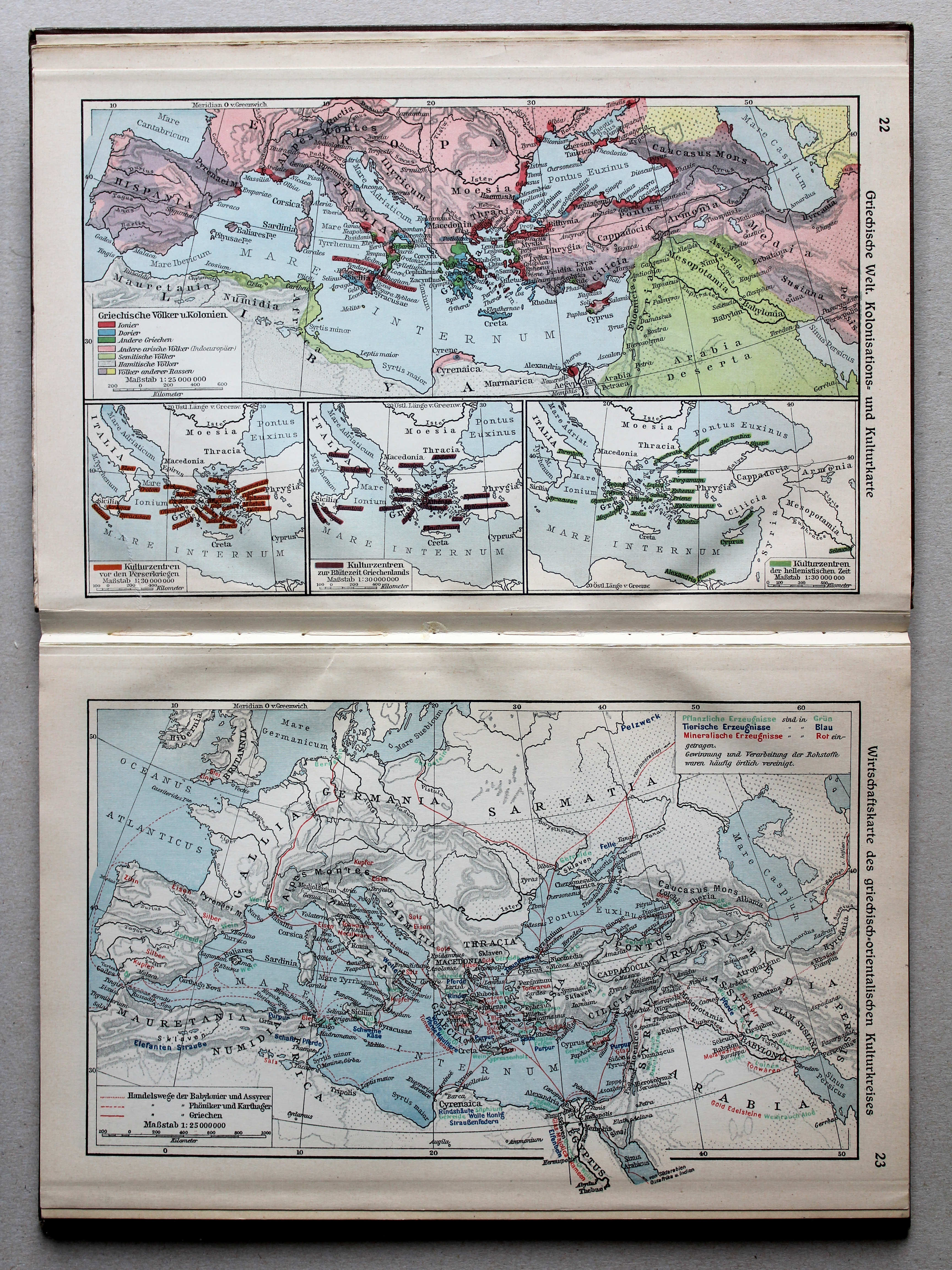
22. Griechische Welt. Kolonisations- und Kulturkarte XL
De Griekse wereld. Kaart van kolonisatie en cultuur / The Greek world. Colonisation and culture map
23. Wirtschaftskarte des griechisch-orientalischen Kulturkreises XL
Economische kaart van de Hellenistische periode / Economical map of the Hellenistic period
 Putzgers Historischer Schul-Atlas, Große Ausgabe, 1931/33
22. Griechische Welt. Kolonisations- und Kulturkarte XL
De Griekse wereld. Kaart van kolonisatie en cultuur / The Greek world. Colonisation and culture map
23. Wirtschaftskarte des griechisch-orientalischen Kulturkreises XL
Economische kaart van de Hellenistische periode / Economical map of the Hellenistic period
 Putzgers Historischer Schul-Atlas, Große Ausgabe, 1934
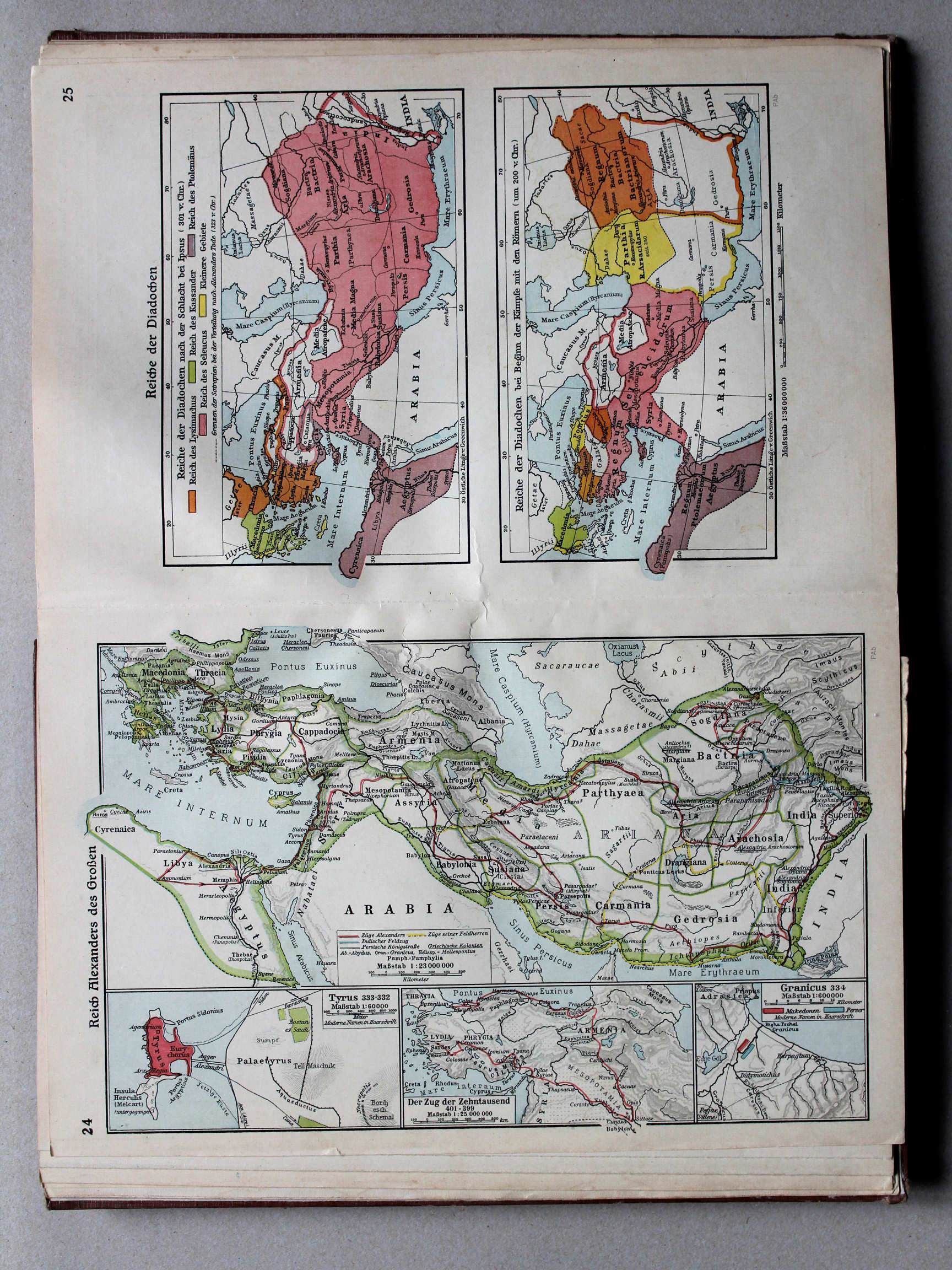
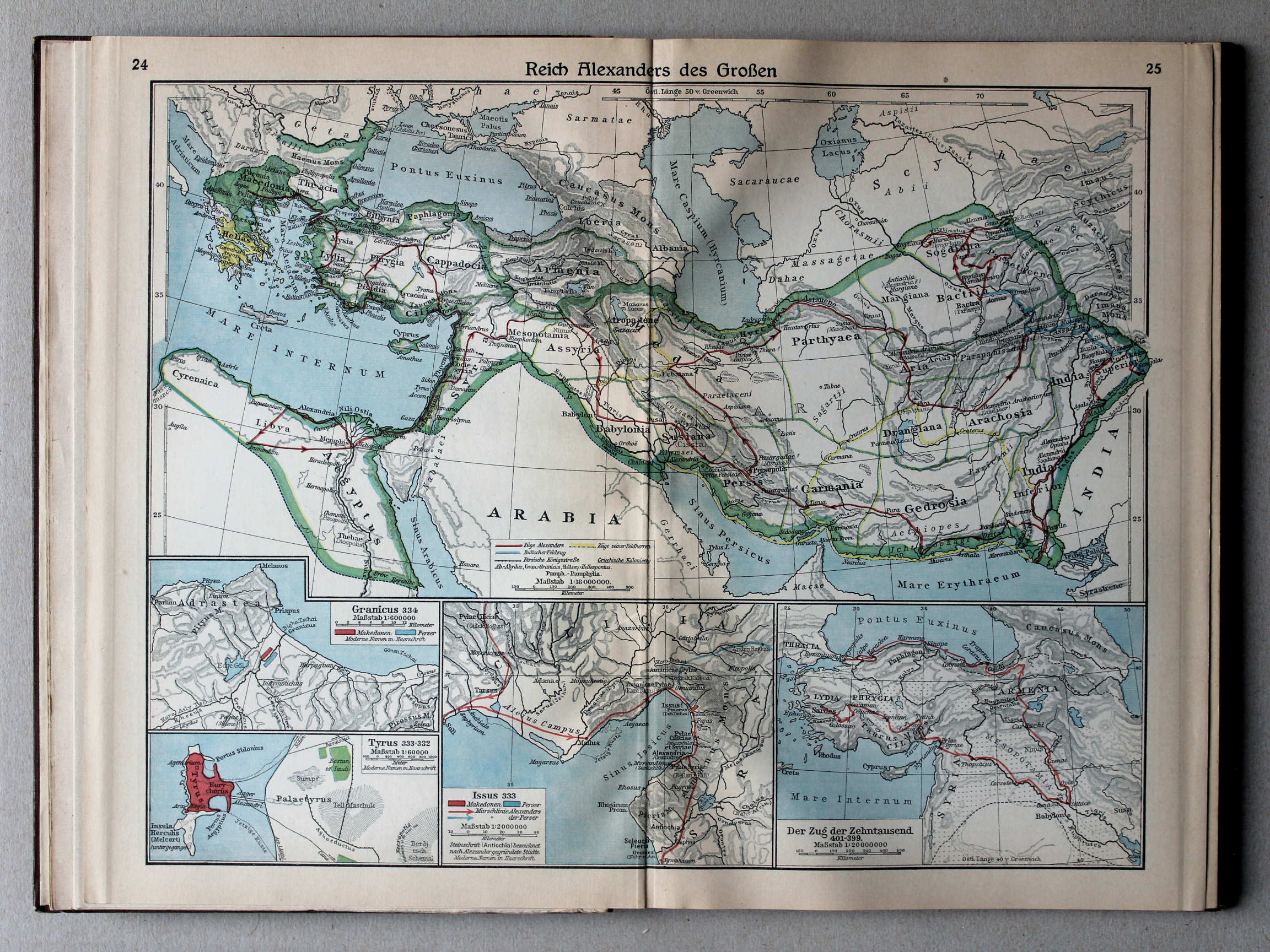
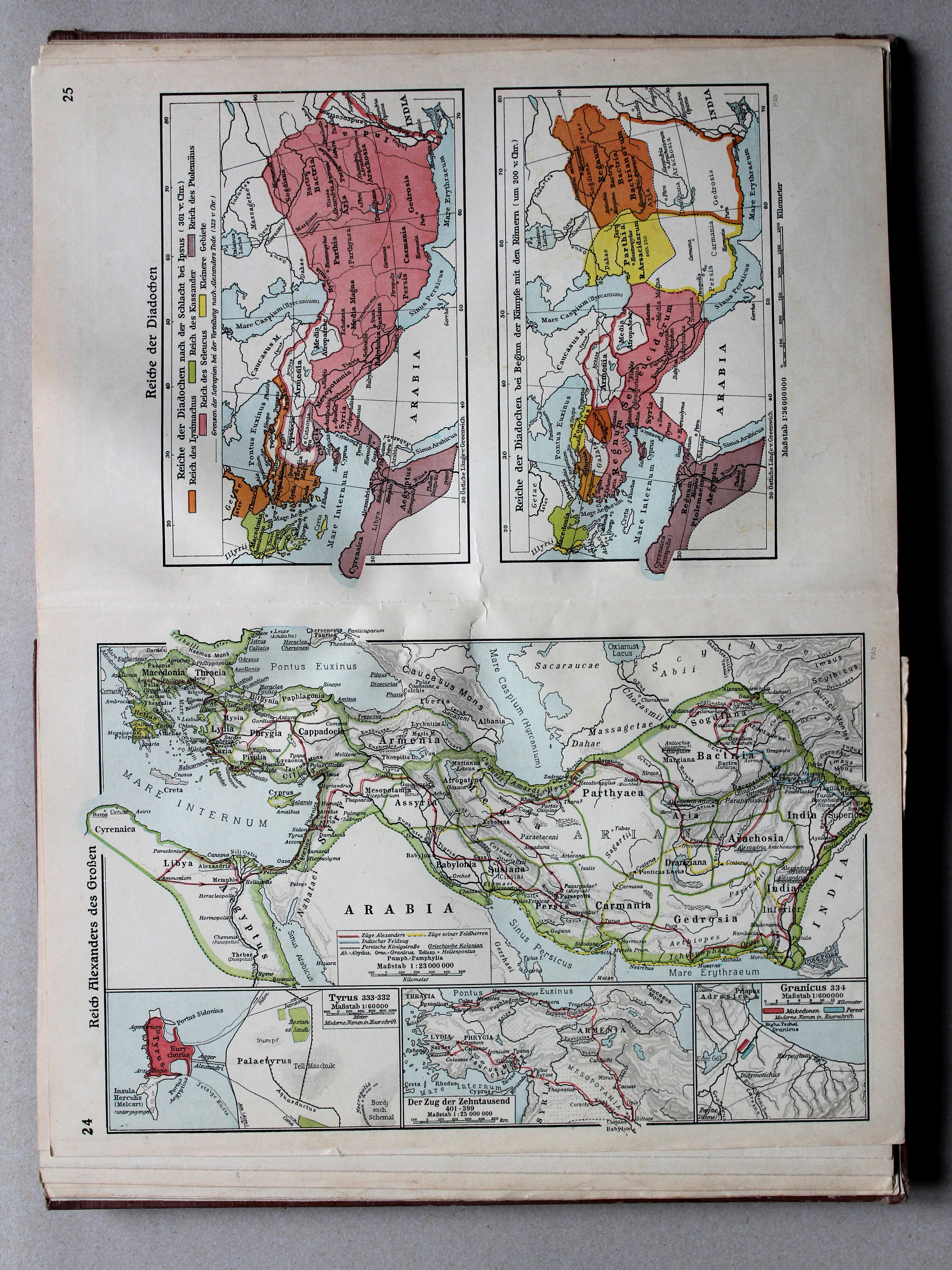
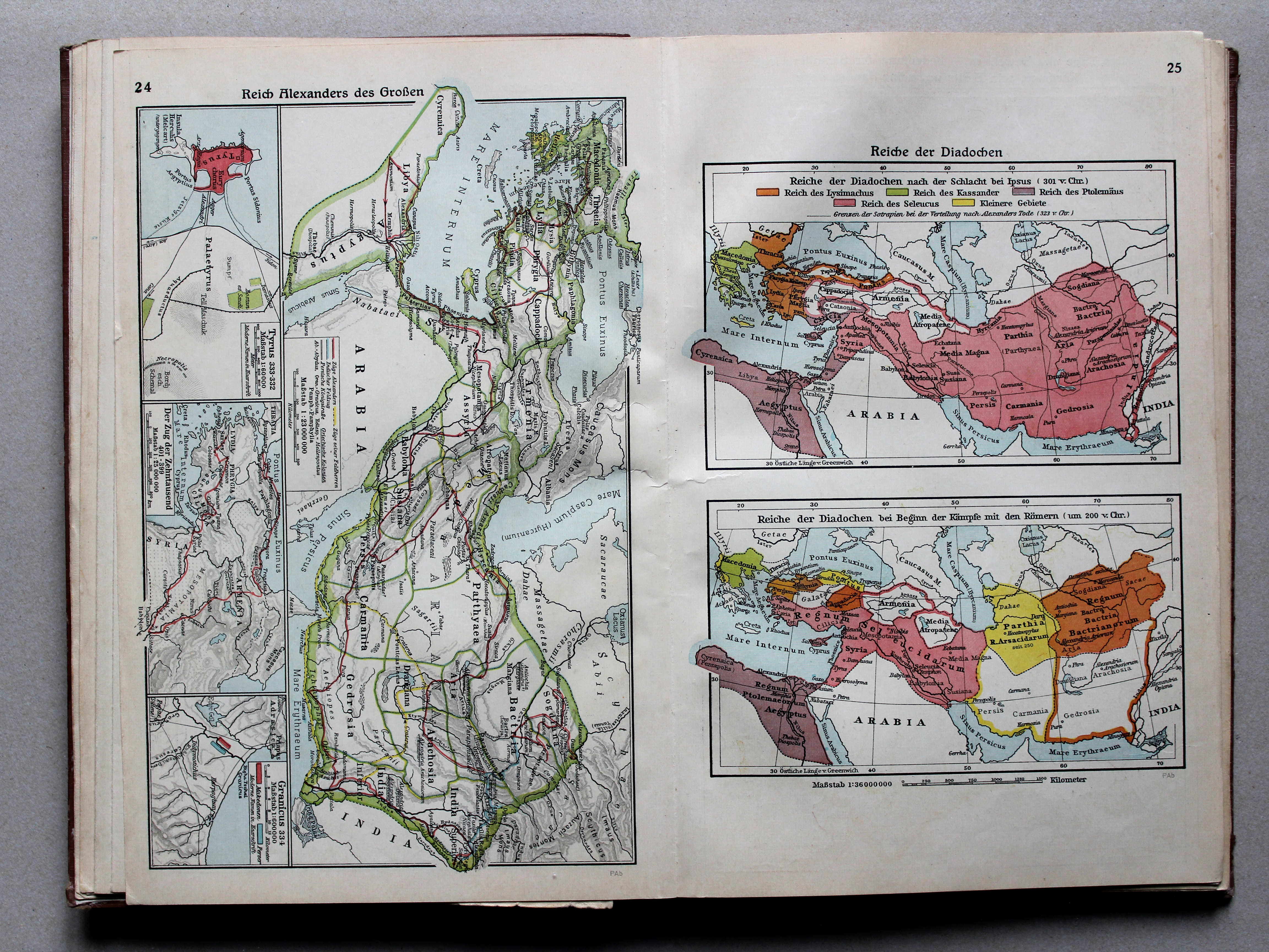
24. Reich Alexanders des Großen XL
Het Rijk van Alexander de Grote / The Empire of Alexander the Great
 Putzgers Historischer Schul-Atlas, Große Ausgabe, 1931/33
24.25. Reich Alexanders des Großen XL
Het Rijk van Alexander de Grote / The Empire of Alexander the Great
 Putzgers Historischer Schul-Atlas, Große Ausgabe, 1934
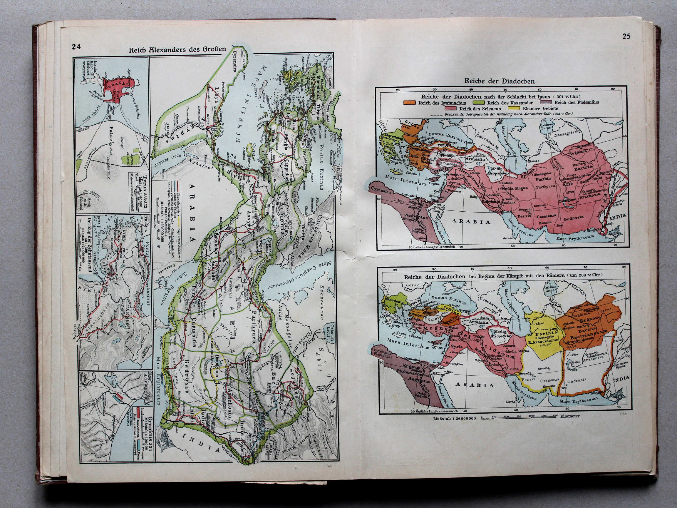
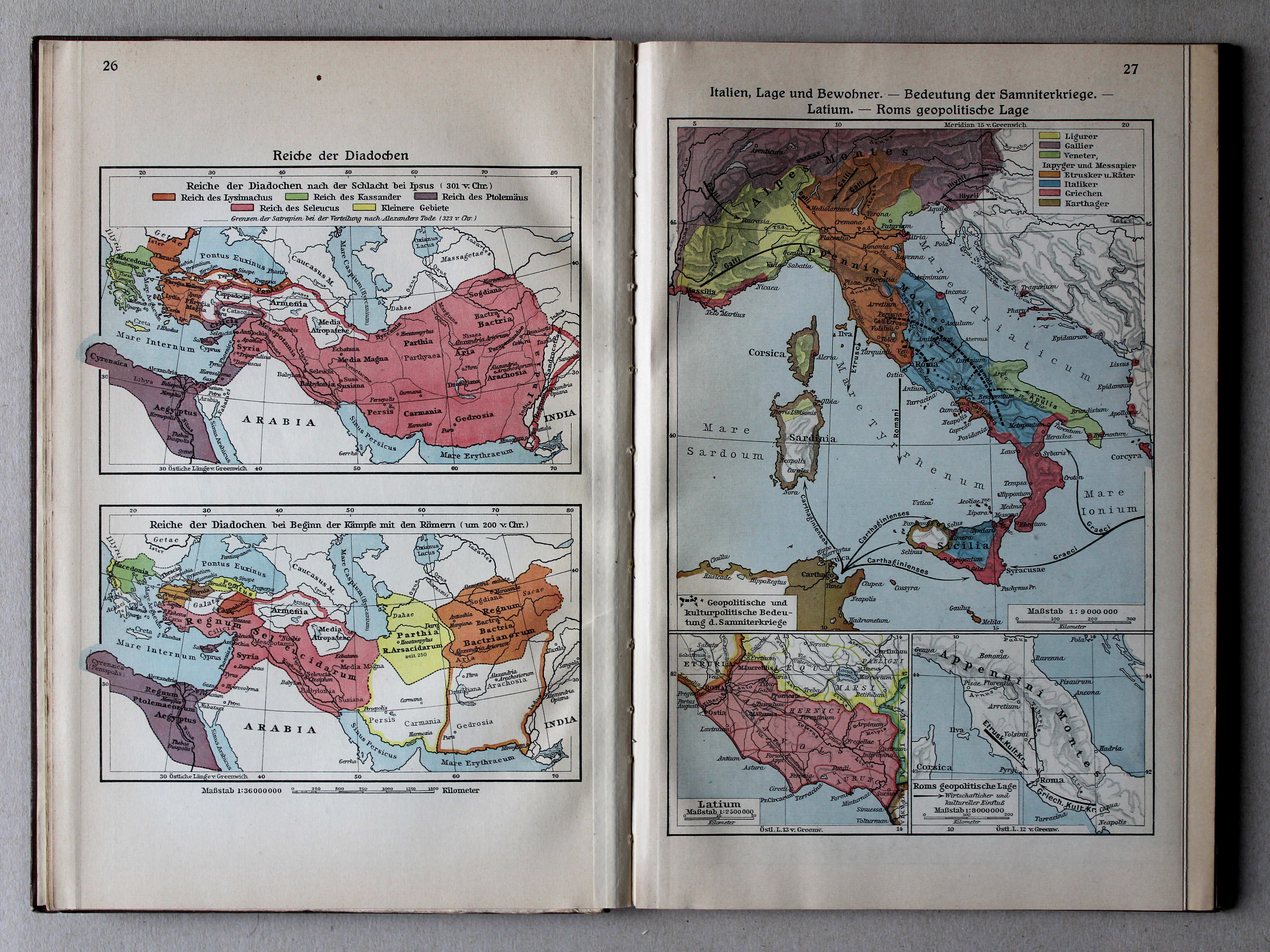
25. Reiche der Diadochen XL
Rijken van de Diadochen / Empires of the Diadochi
 Putzgers Historischer Schul-Atlas, Große Ausgabe, 1931/33
26. Reiche der Diadochen XL
Rijken van de Diadochen / Empires of the Diadochi
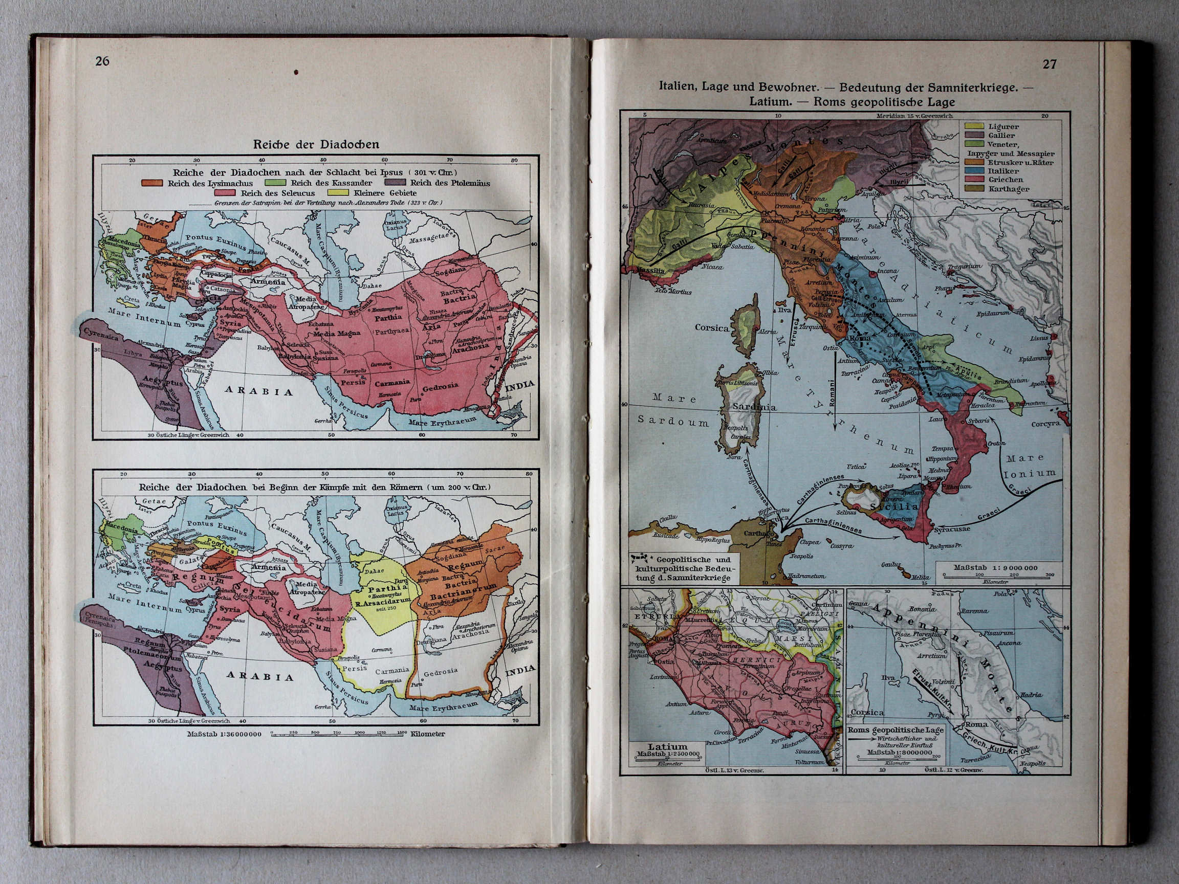
27. Italien, Lage und Bewohner – Bedeutung der Samniterkriege – Latium – Roms geopolitische Lage XL
Italië: ligging en inwoners. Betekenis van de Samnitische Oorlogen. Latium. Geopolitieke situatie van Rome / Italy: situation and inhabitants. Signification of the Samnite Wars. Latium. Geopolitical situation of Rome
 Putzgers Historischer Schul-Atlas, Große Ausgabe, 1934
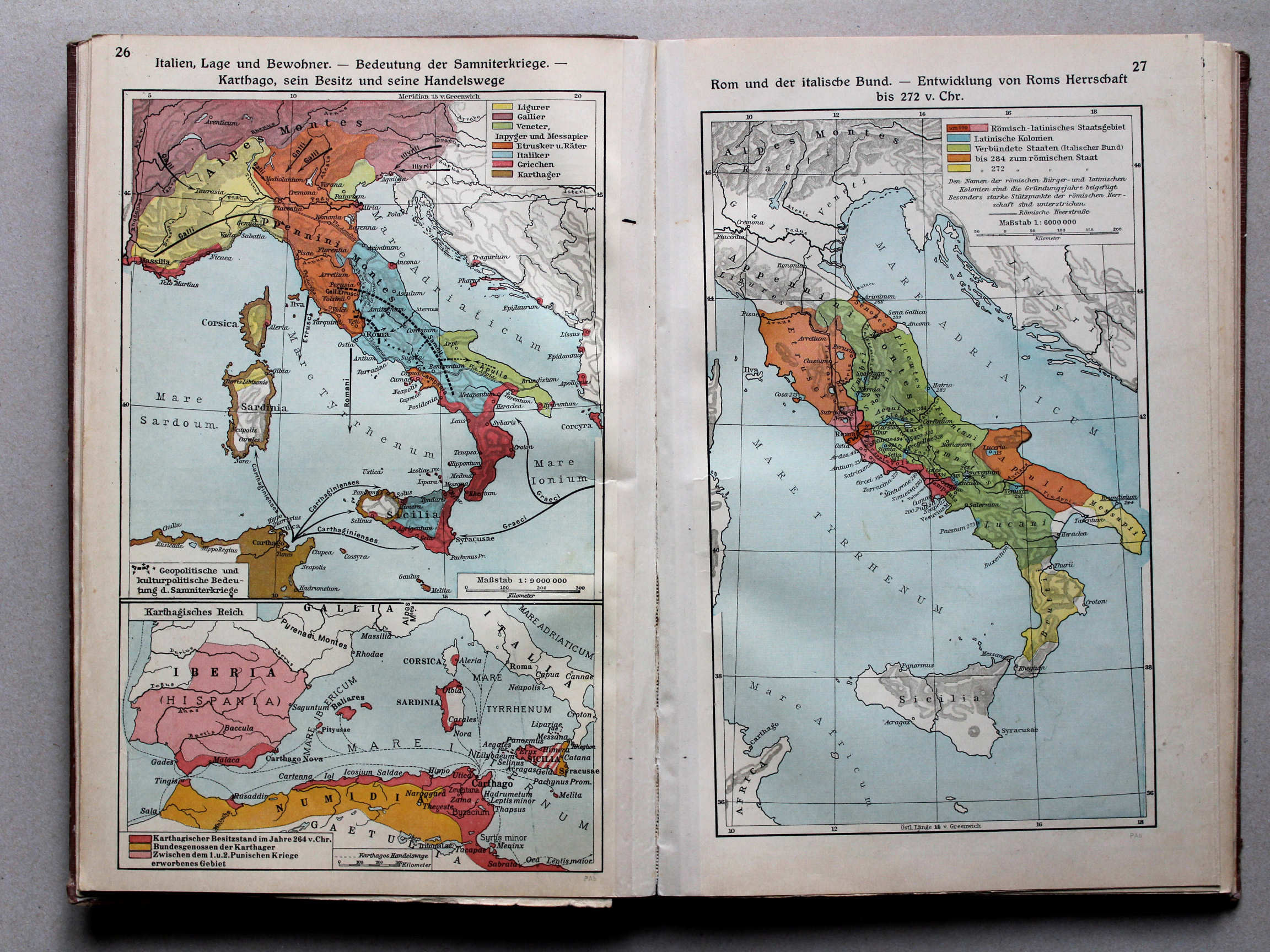
26. Italien, Lage und Bewohner – Bedeutung der Samniterkriege – Karthago, sein Besitz und seine Handelswege XL
Italië: ligging en inwoners. Betekenis van de Samnitische Oorlogen. Carthago: bezittingen en handelsroutes / Italy: situation and inhabitants. Signification of the Samnite Wars. Carthage: possessions and trade routes
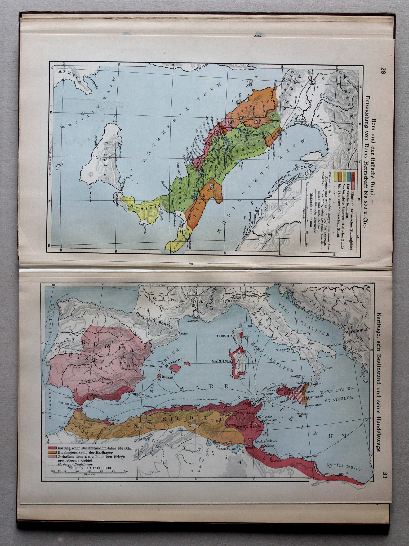
27. Rom und der italische Bund – Entwicklung von Roms Herrschaft bis 272 v. Chr. XL
Rome en de Italische Bond. Ontwikkeling van de Romeinse heerschappij tot 272 v. Chr. / Rome and the Italic Confederation. Development of Roman rule until 272 BC
Putzgers Historischer Schul-Atlas, Große Ausgabe, 1931/33
26. Reiche der Diadochen XL
Rijken van de Diadochen / Empires of the Diadochi
27. Italien, Lage und Bewohner – Bedeutung der Samniterkriege – Latium – Roms geopolitische Lage XL
Italië: ligging en inwoners. Betekenis van de Samnitische Oorlogen. Latium. Geopolitieke situatie van Rome / Italy: situation and inhabitants. Signification of the Samnite Wars. Latium. Geopolitical situation of Rome
Putzgers Historischer Schul-Atlas, Große Ausgabe, 1934
26. Italien, Lage und Bewohner – Bedeutung der Samniterkriege – Karthago, sein Besitz und seine Handelswege XL
Italië: ligging en inwoners. Betekenis van de Samnitische Oorlogen. Carthago: bezittingen en handelsroutes / Italy: situation and inhabitants. Signification of the Samnite Wars. Carthage: possessions and trade routes
27. Rom und der italische Bund – Entwicklung von Roms Herrschaft bis 272 v. Chr. XL
Rome en de Italische Bond. Ontwikkeling van de Romeinse heerschappij tot 272 v. Chr. / Rome and the Italic Confederation. Development of Roman rule until 272 BC
 Putzgers Historischer Schul-Atlas, Große Ausgabe, 1931/33
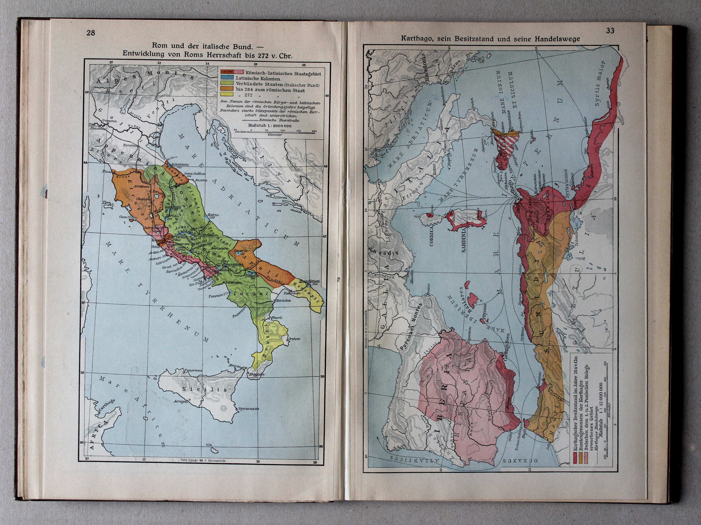
33. Karthago, sein Besitzstand und seine Handelswege XL
Carthago: bezittingen en handelsroutes / Carthage: possessions and trade routes
Putzgers Historischer Schul-Atlas, Große Ausgabe, 1934
26. Italien, Lage und Bewohner – Bedeutung der Samniterkriege – Karthago, sein Besitz und seine Handelswege XL
Italië: ligging en inwoners. Betekenis van de Samnitische Oorlogen. Carthago: bezittingen en handelsroutes / Italy: situation and inhabitants. Signification of the Samnite Wars. Carthage: possessions and trade routes
27. Rom und der italische Bund – Entwicklung von Roms Herrschaft bis 272 v. Chr. XL
Rome en de Italische Bond. Ontwikkeling van de Romeinse heerschappij tot 272 v. Chr. / Rome and the Italic Confederation. Development of Roman rule until 272 BC
 Putzgers Historischer Schul-Atlas, Große Ausgabe, 1931/33
28. Rom und der italische Bund – Entwicklung von Roms Herrschaft bis 272 v. Chr. XL
Rome en de Italische Bond. Ontwikkeling van de Romeinse heerschappij tot 272 v. Chr. / Rome and the Italic Confederation. Development of Roman rule until 272 BC
 Putzgers Historischer Schul-Atlas, Große Ausgabe, 1934
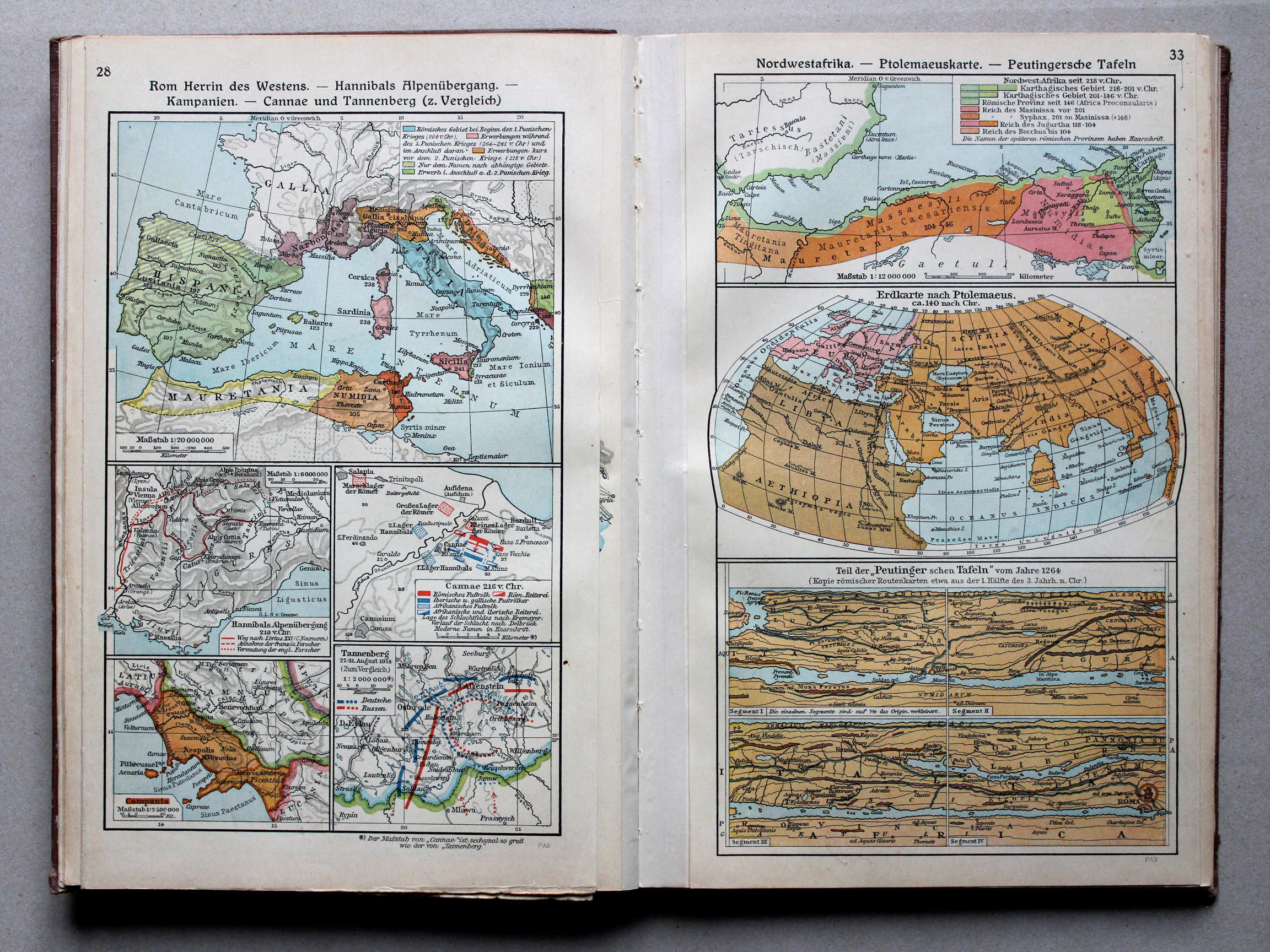
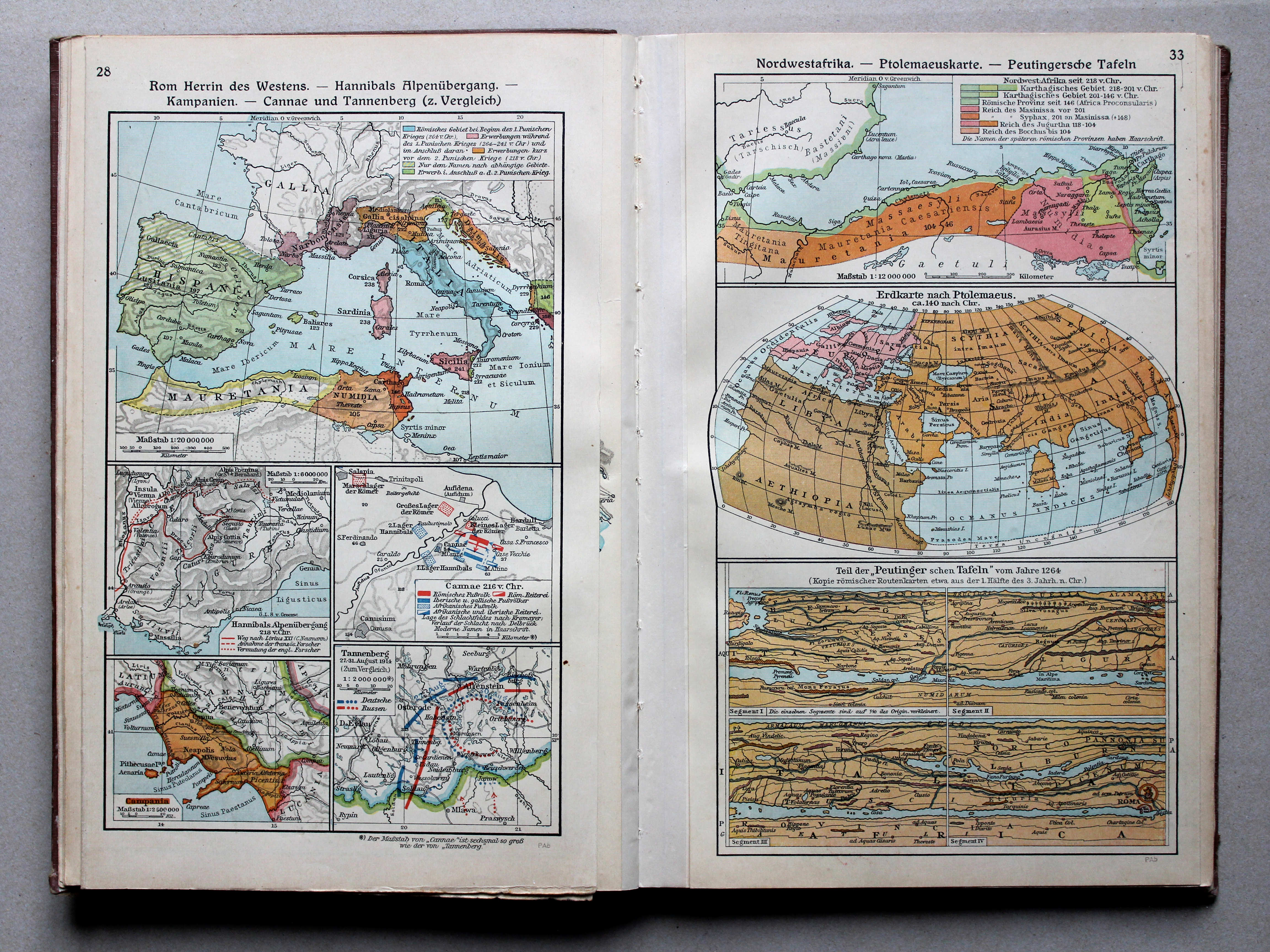
28. Rom Herrin des Westens – Hannibals Alpenübergang – Kampanien – Cannae und Tannenberg (z. Vergleich) XL
Rome als heerseres van het Westen. Tocht van Hannibal over de Alpen. Campania. Cannae en Tannenberg (ter vergelijking) / Rome as the empress of the West. Hannibal crossing the Alps. Campania. Cannae and Tannenberg (in comparison)
33. Nordwestafrika – Ptolemaeuskarte – Peutingersche Tafeln XL
Noordwest-Afrika. Kaart van Ptolemaeus. Tabula Peutingeriana / Northwest Africa. Map of Ptolemy. Tabula Peutingeriana
 Putzgers Historischer Schul-Atlas, Große Ausgabe, 1931/33
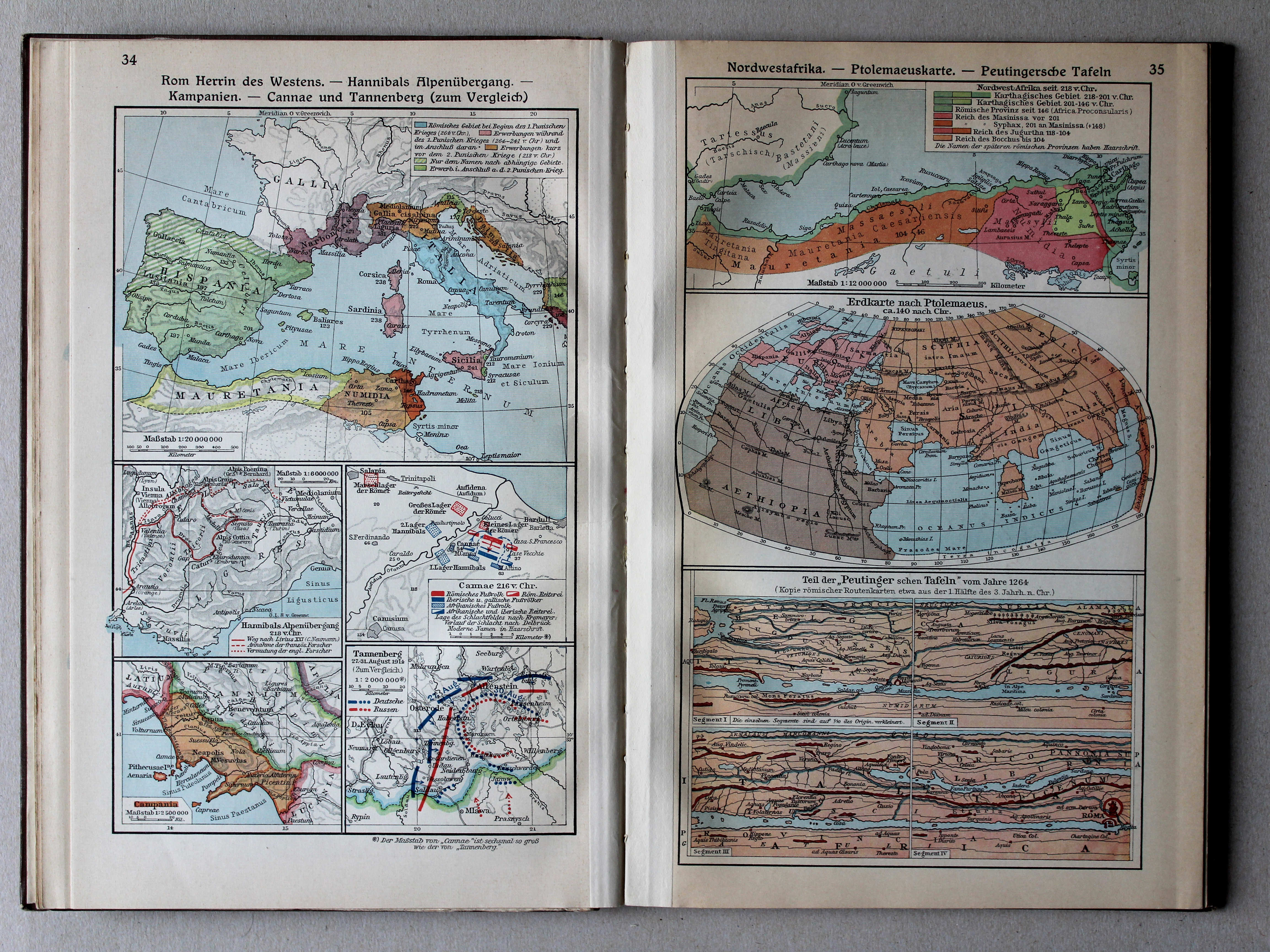
34. Rom Herrin des Westens – Hannibals Alpenübergang – Kampanien – Cannae und Tannenberg (zum Vergleich) XL
Rome als heerseres van het Westen. Tocht van Hannibal over de Alpen. Campania. Cannae en Tannenberg (ter vergelijking) / Rome as the empress of the West. Hannibal crossing the Alps. Campania. Cannae and Tannenberg (in comparison)
35. Nordwestafrika – Ptolemaeuskarte – Peutingersche Tafeln XL
Noordwest-Afrika. Kaart van Ptolemaeus. Tabula Peutingeriana / Northwest Africa. Map of Ptolemy. Tabula Peutingeriana
 Putzgers Historischer Schul-Atlas, Große Ausgabe, 1934
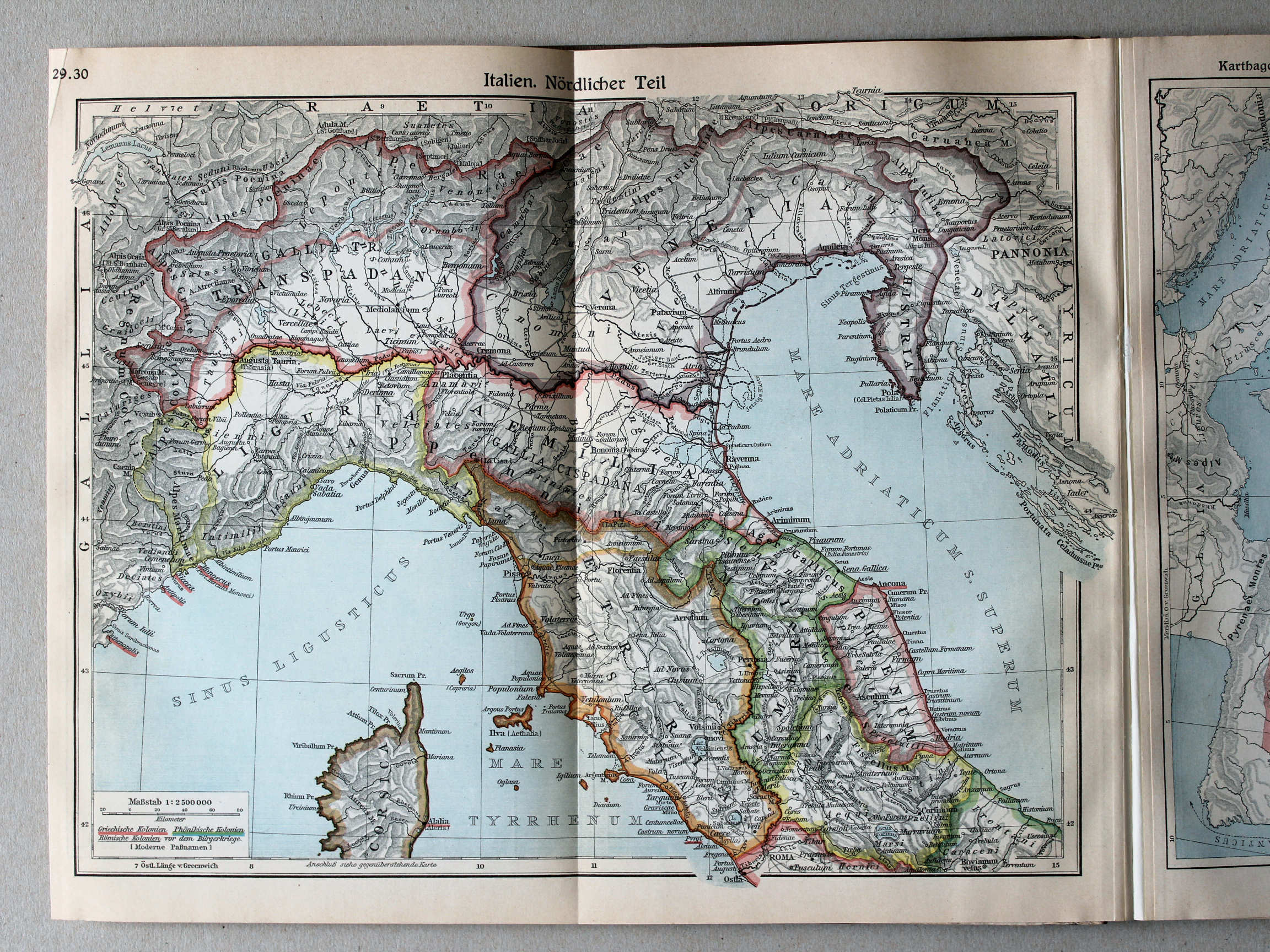
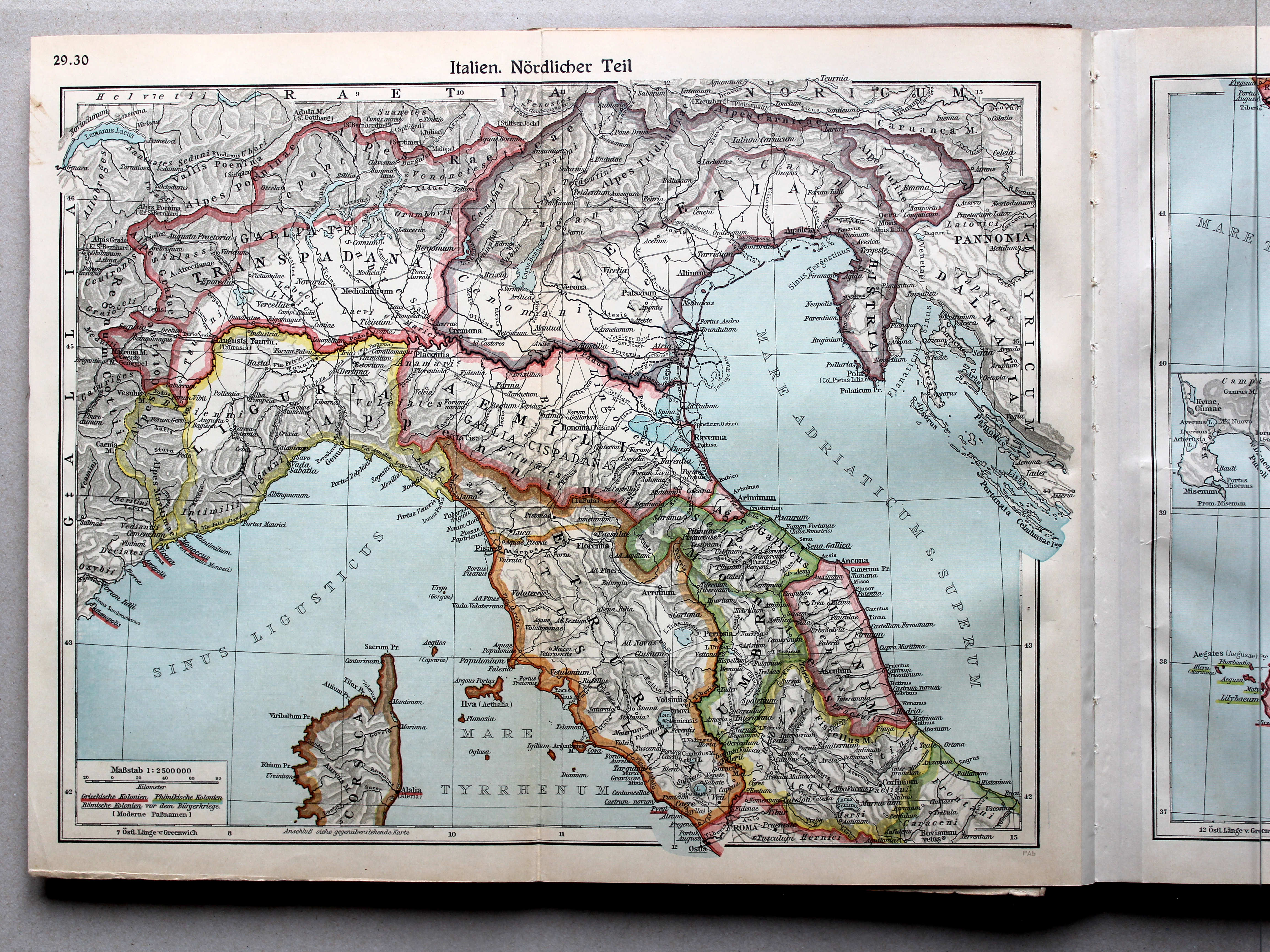
29.30. Italien. Nördlicher Teil XL
Italië, noordelijk deel / Italy, northern part
 Putzgers Historischer Schul-Atlas, Große Ausgabe, 1931/33
29.30. Italien. Nördlicher Teil XL
Italië, noordelijk deel / Italy, northern part
 Putzgers Historischer Schul-Atlas, Große Ausgabe, 1934
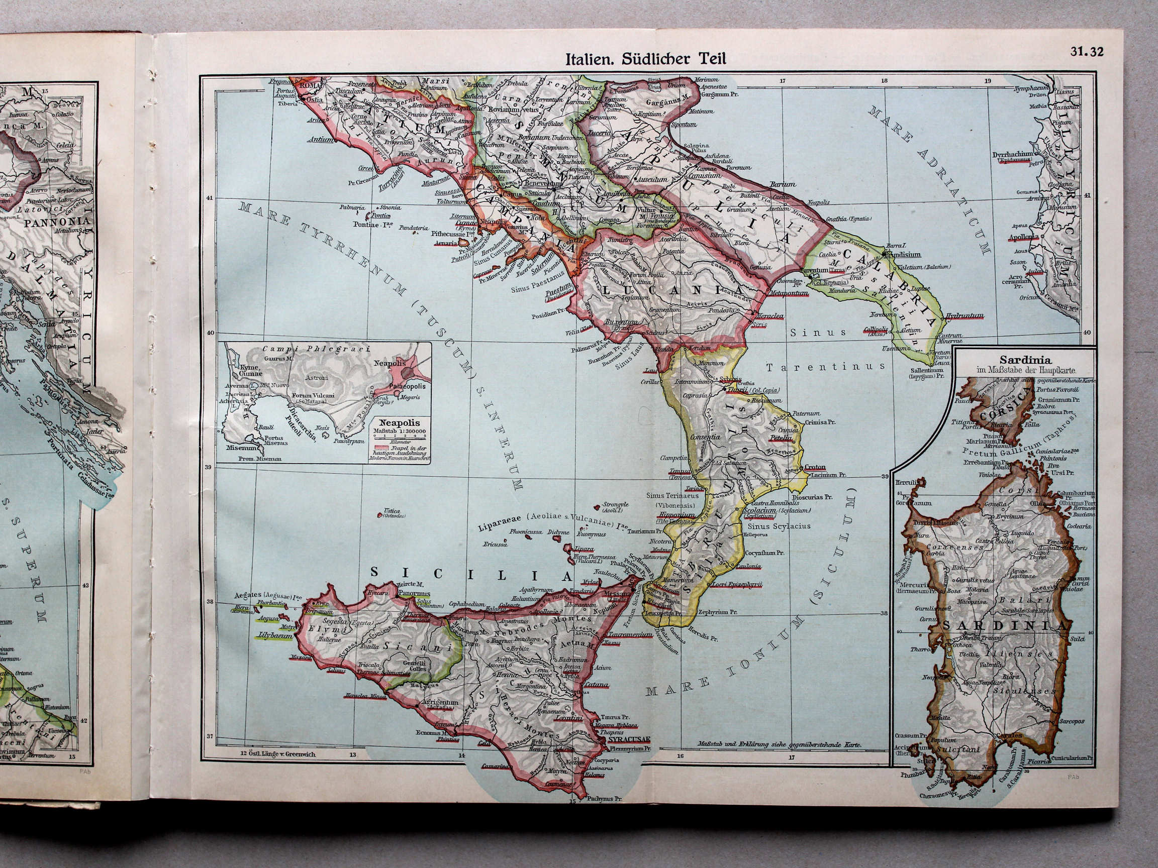
31.32. Italien. Südlicher Teil XL
Italië, zuidelijk deel / Italy, southern part
 Putzgers Historischer Schul-Atlas, Große Ausgabe, 1931/33
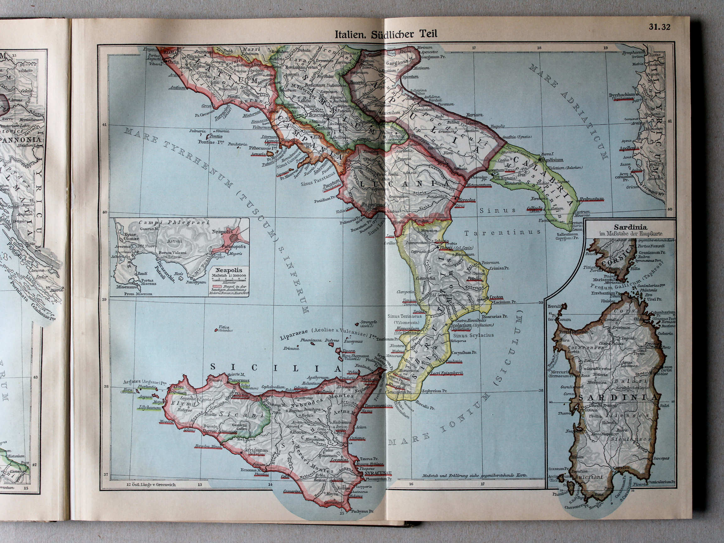
31.32. Italien. Südlicher Teil XL
Italië, zuidelijk deel / Italy, southern part
 Putzgers Historischer Schul-Atlas, Große Ausgabe, 1934
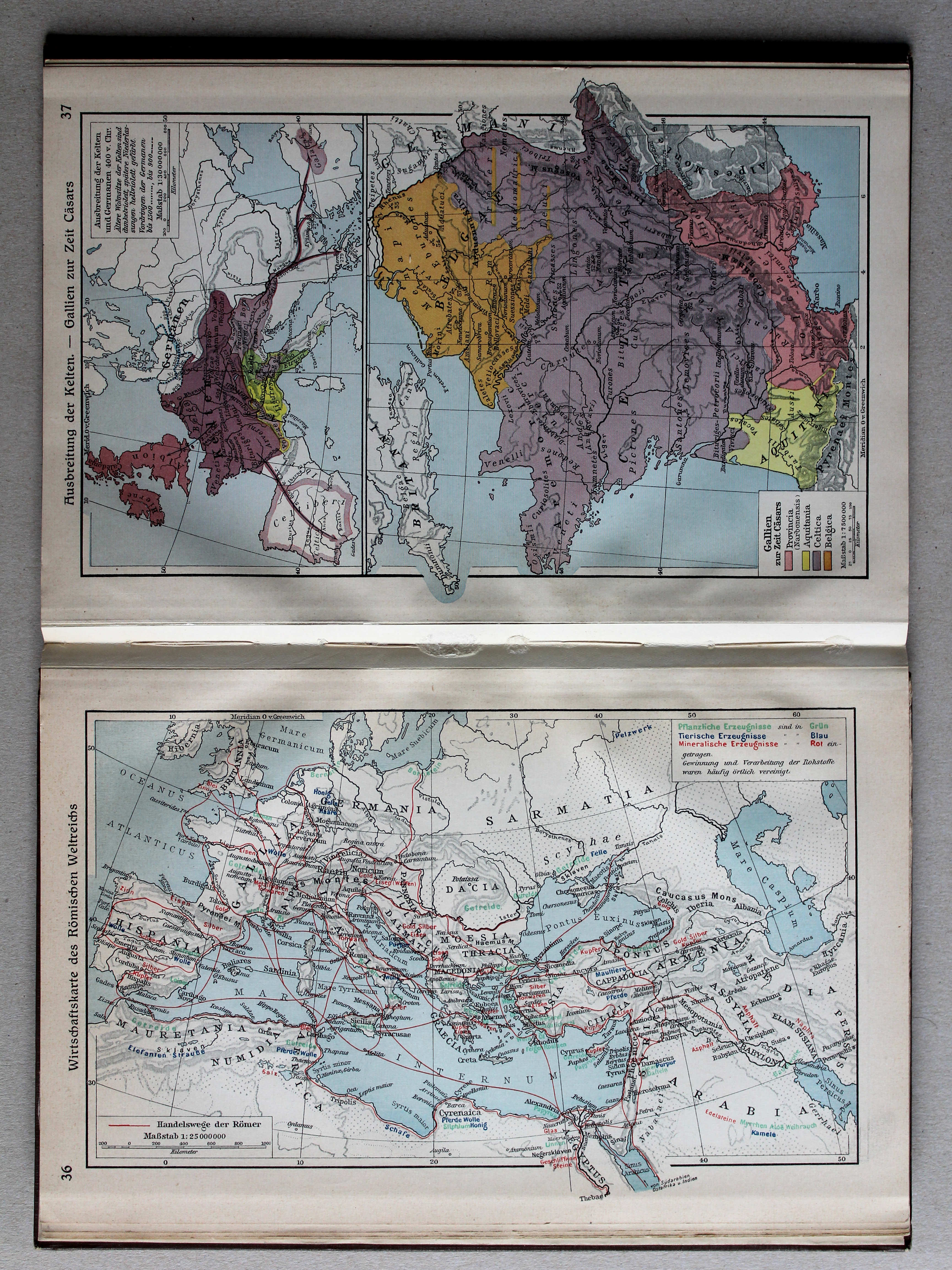
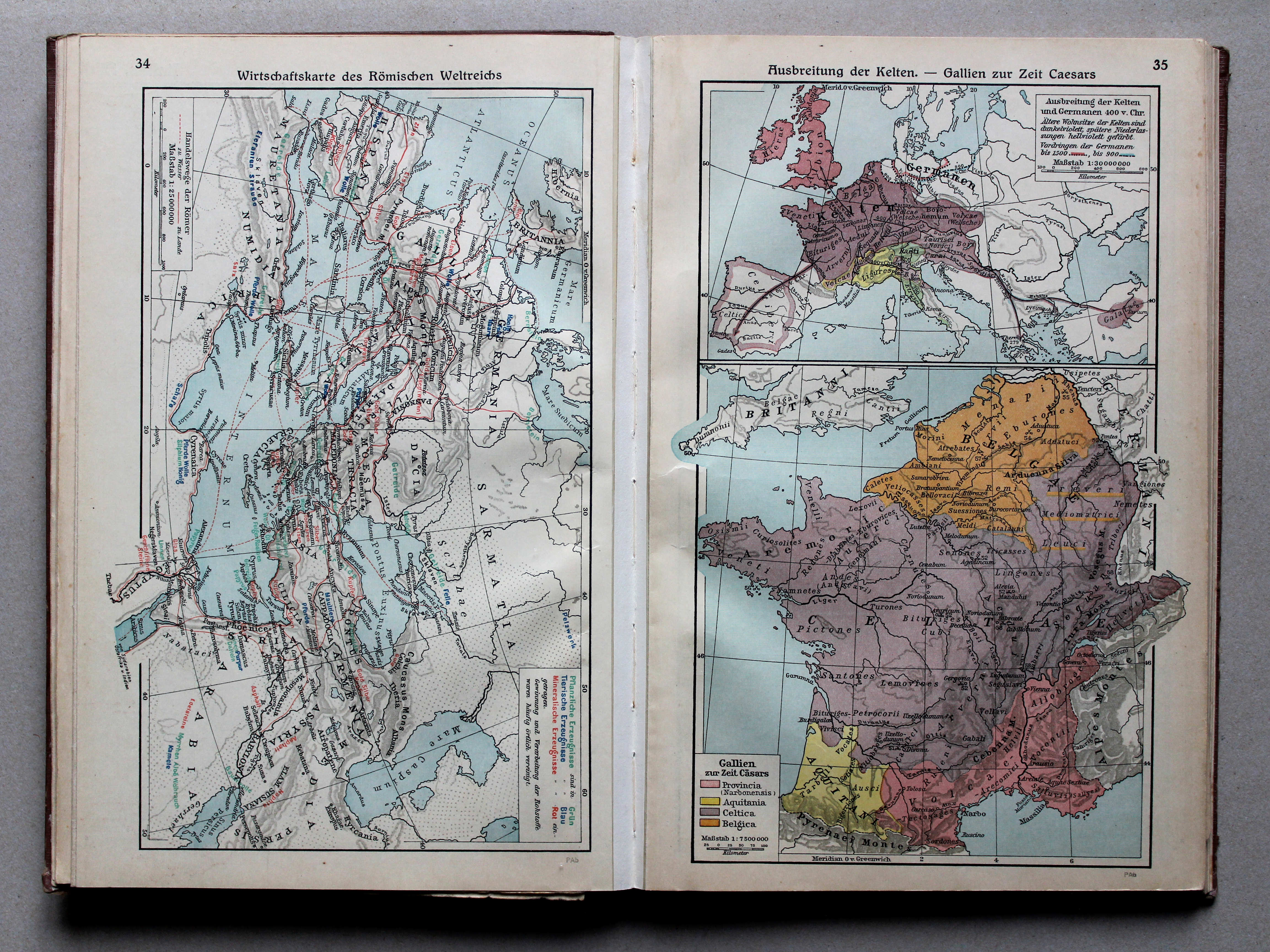
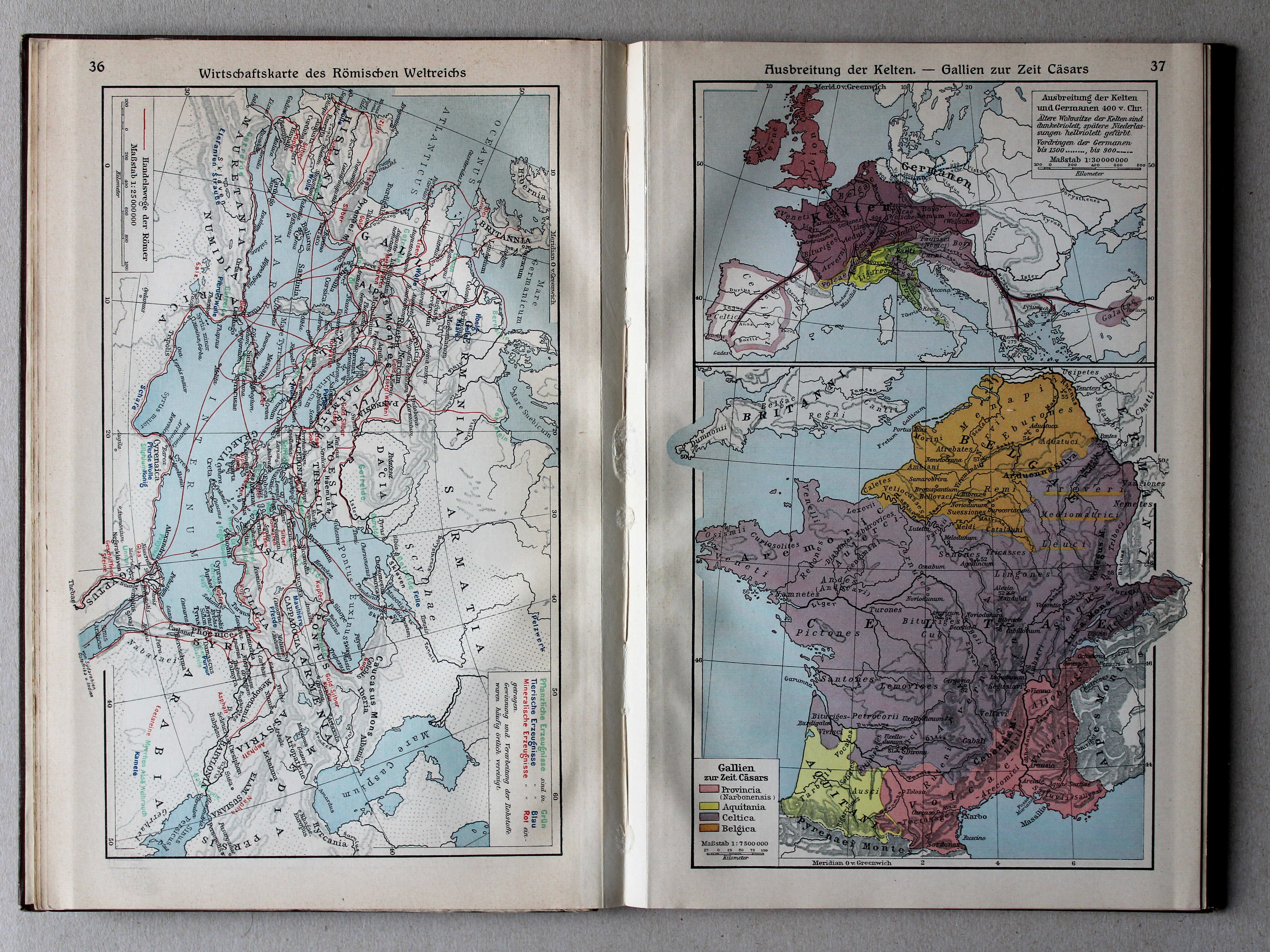
34. Wirtschaftskarte des Römischen Weltreichs XL
Economische kaart van het Romeinse Rijk / Economic map of the Roman Empire
 Putzgers Historischer Schul-Atlas, Große Ausgabe, 1931/33
36. Wirtschaftskarte des Römischen Weltreichs XL
Economische kaart van het Romeinse Rijk / Economic map of the Roman Empire
 Putzgers Historischer Schul-Atlas, Große Ausgabe, 1934
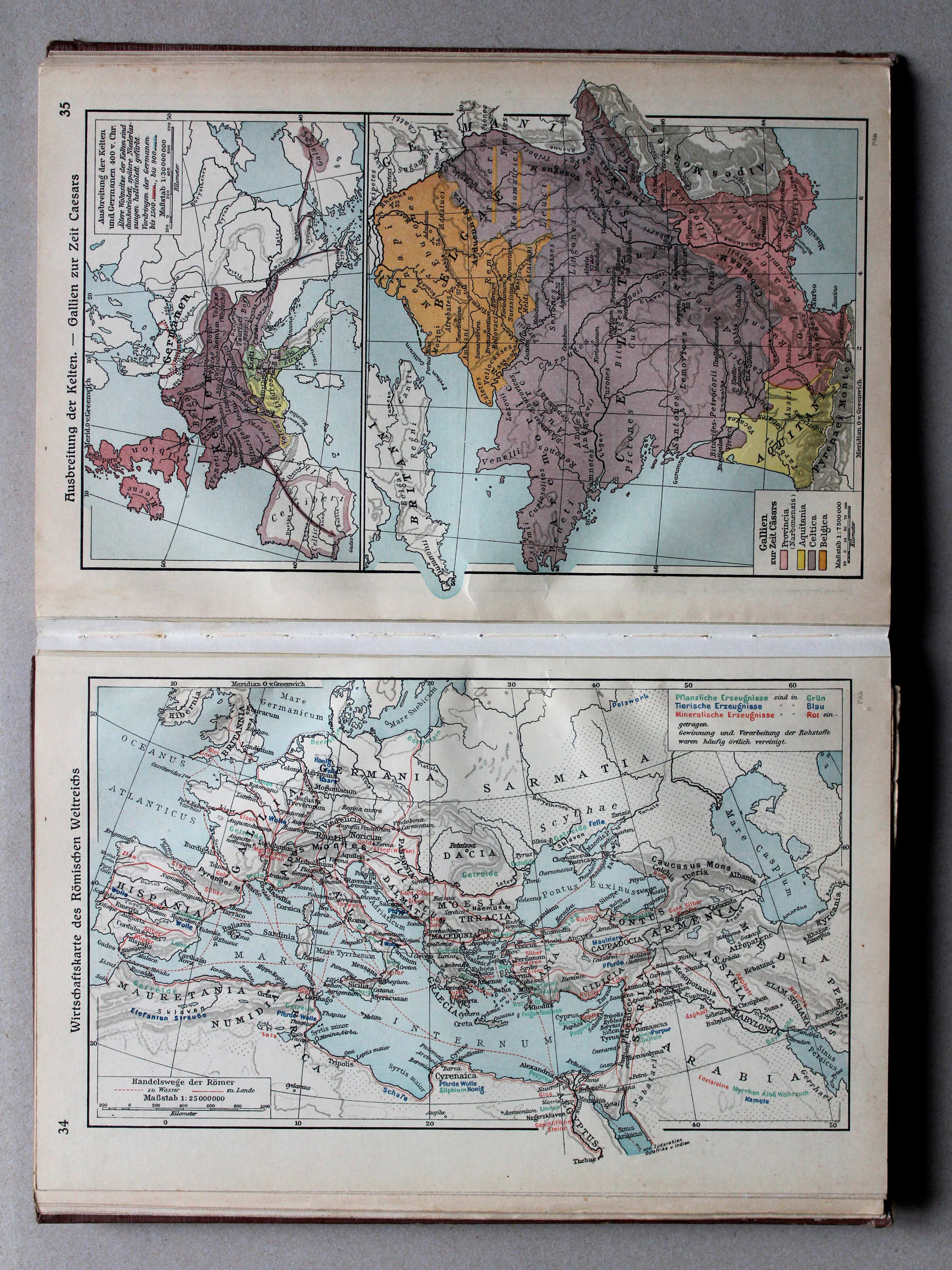
35. Ausbreitung der Kelten – Gallien zur Zeit Cäsars XL
Verspreiding van de Kelten. Gallië in de tijd van Caesar / Expansion of the Celts. Gaul in Caesar's time
 Putzgers Historischer Schul-Atlas, Große Ausgabe, 1931/33
37. Ausbreitung der Kelten – Gallien zur Zeit Cäsars XL
Verspreiding van de Kelten. Gallië in de tijd van Caesar / Expansion of the Celts. Gaul in Caesar's time
 Putzgers Historischer Schul-Atlas, Große Ausgabe, 1934
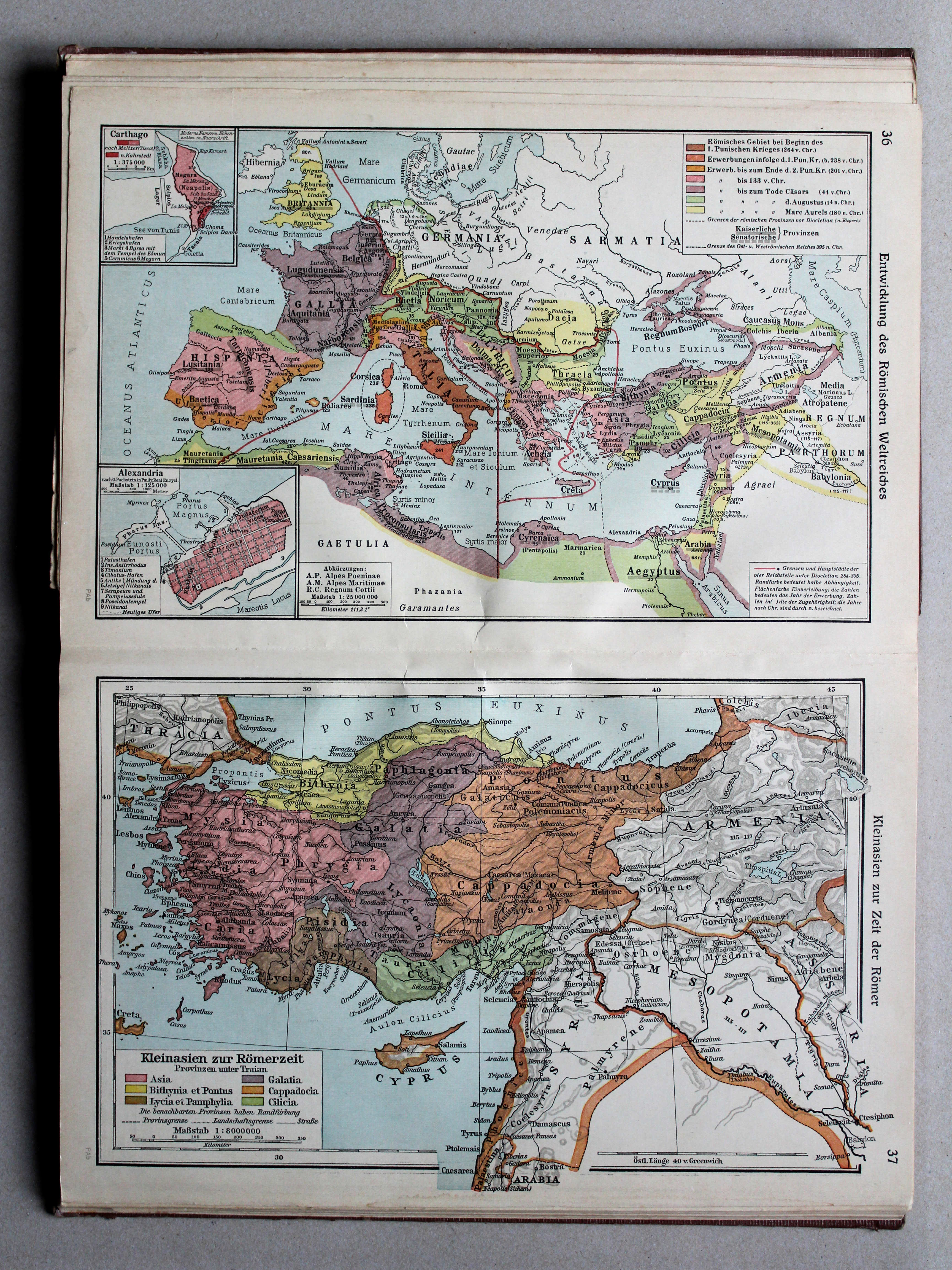
36. Entwicklung des Römischen Weltreichs XL
Ontwikkeling van het Romeinse Rijk / Development of the Roman Empire
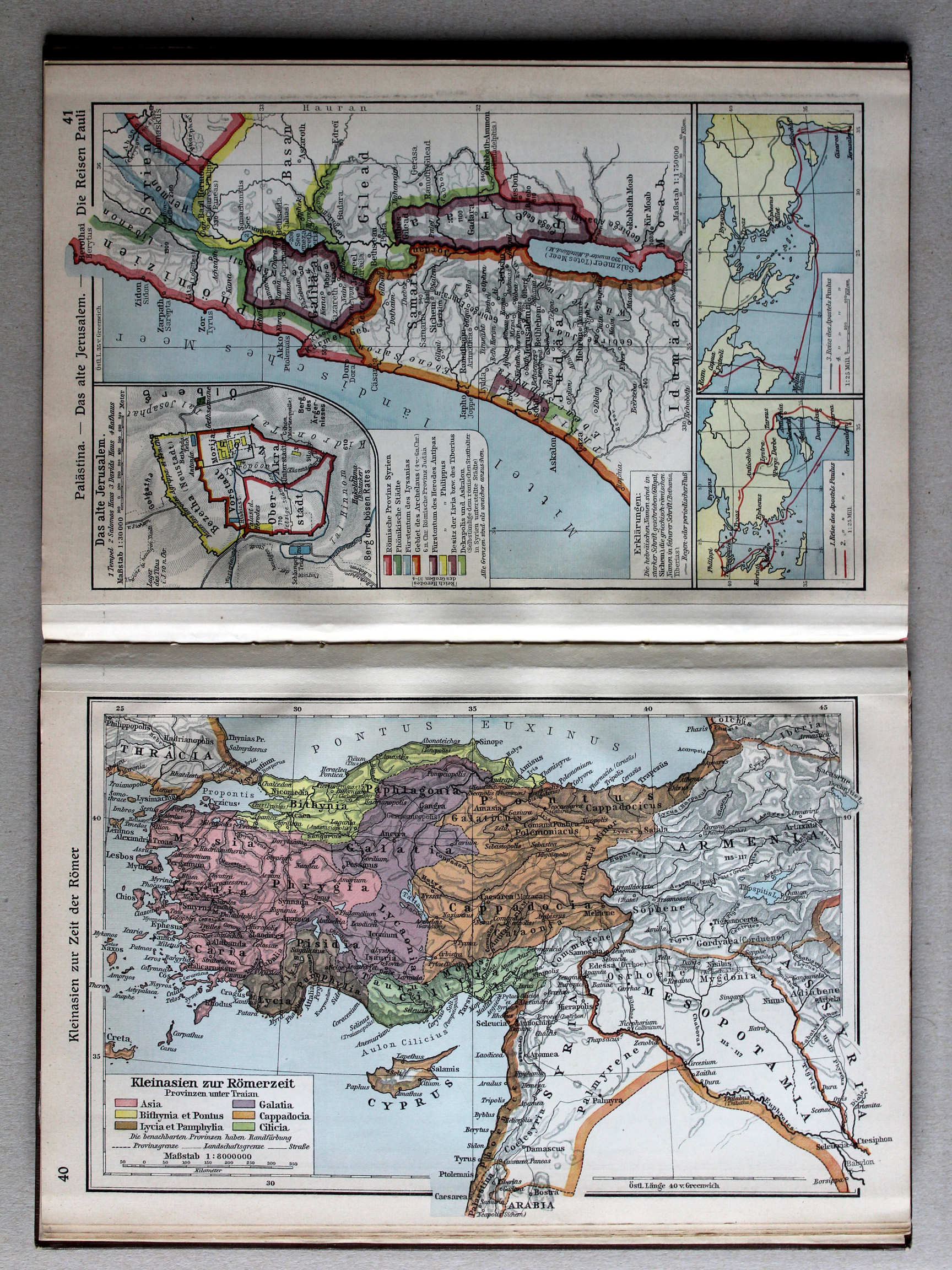
37. Kleinasien zur Zeit der Römer XL
Klein-Azië in de tijd van de Romeinen / Asia Minor under the Romans
 Putzgers Historischer Schul-Atlas, Große Ausgabe, 1931/33
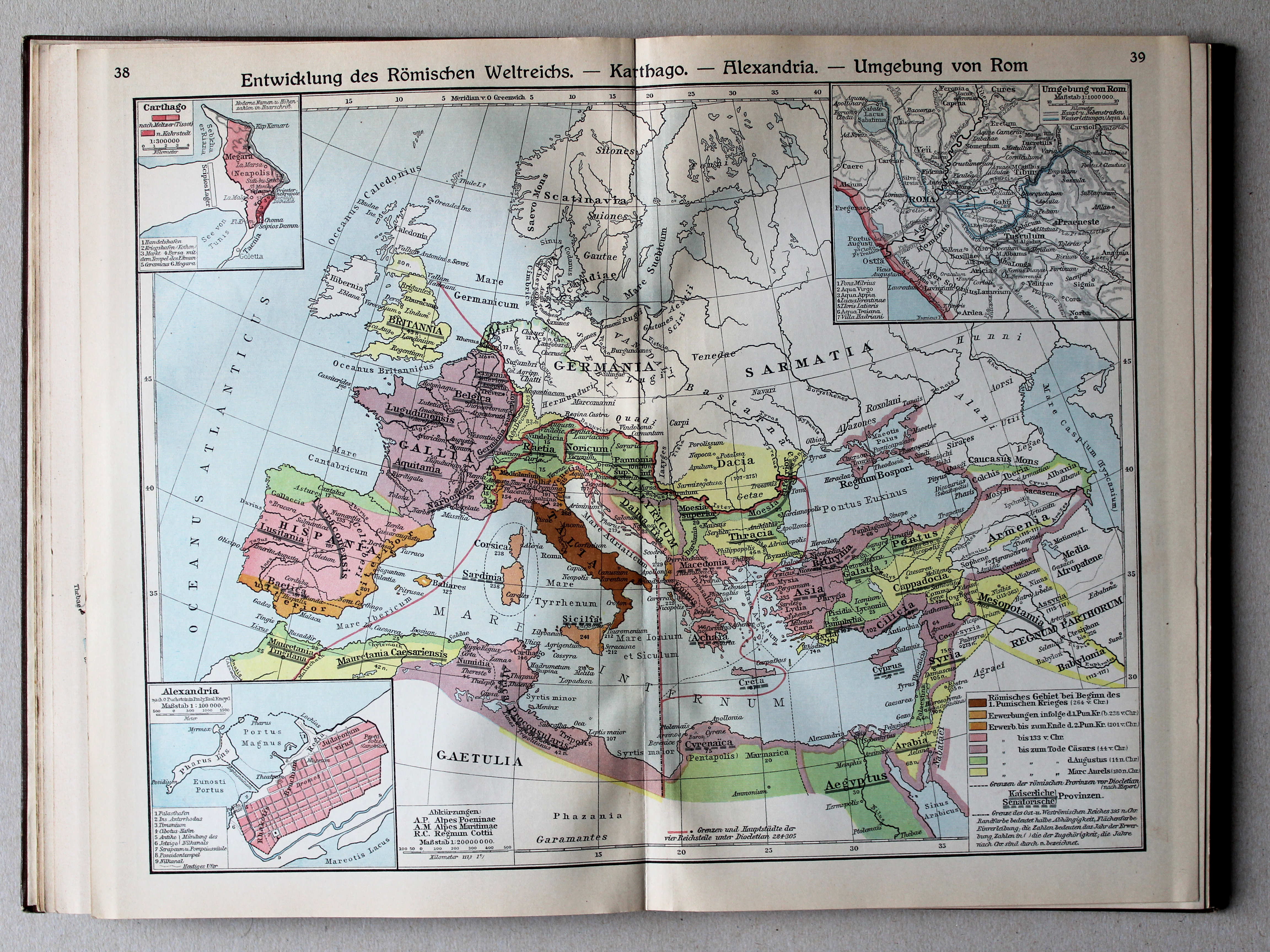
38.39. Entwicklung des Römischen Weltreichs – Karthago – Alexandria – Umgebung von Rom XL
Ontwikkeling van het Romeinse Rijk. Carthago. Alexandrië. Omgeving van Rome / Development of the Roman Empire. Carthage. Alexandria. Environs of Rome
Putzgers Historischer Schul-Atlas, Große Ausgabe, 1934
36. Entwicklung des Römischen Weltreichs XL
Ontwikkeling van het Romeinse Rijk / Development of the Roman Empire
37. Kleinasien zur Zeit der Römer XL
Klein-Azië in de tijd van de Romeinen / Asia Minor under the Romans
 Putzgers Historischer Schul-Atlas, Große Ausgabe, 1931/33
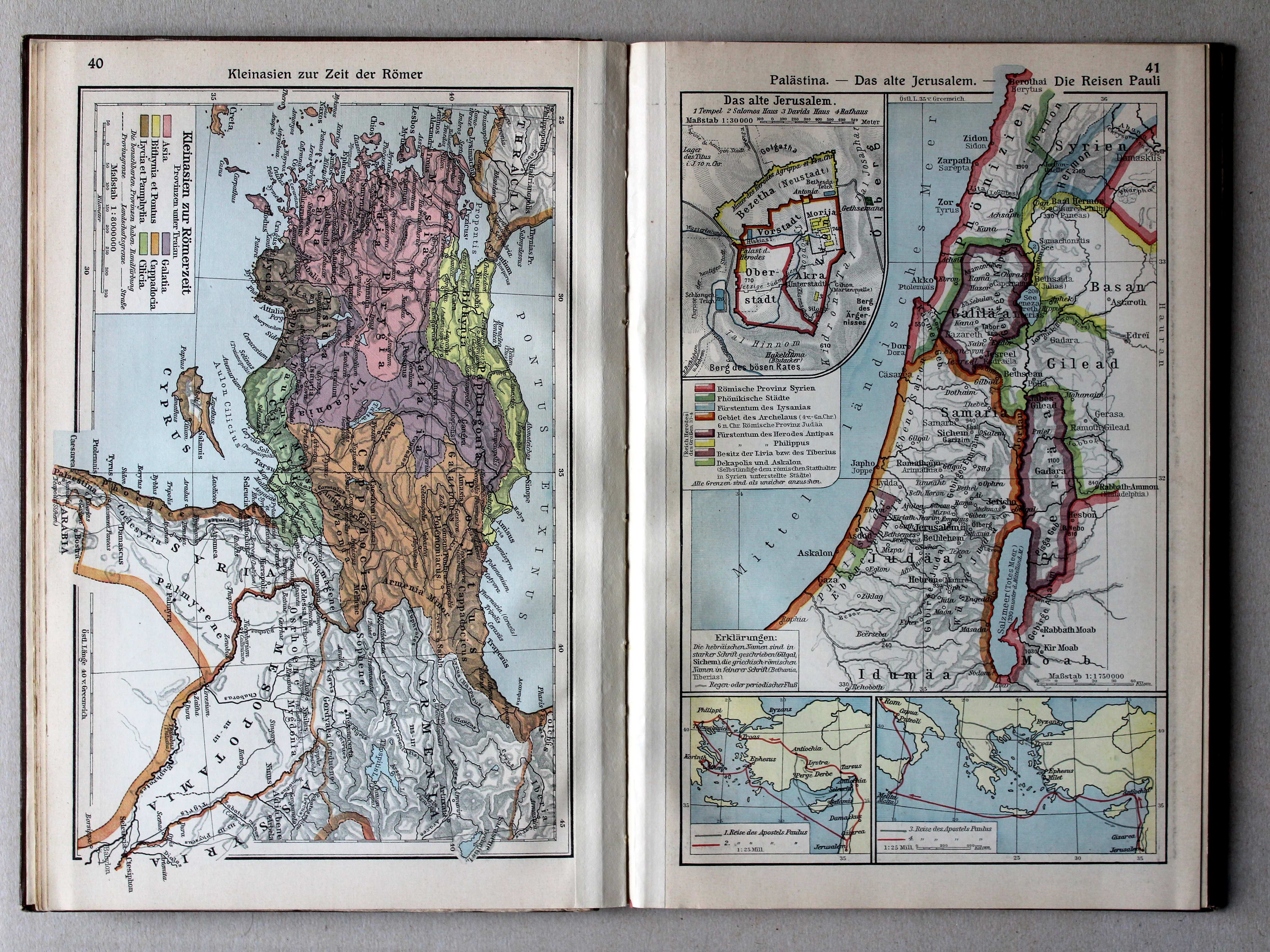
40. Kleinasien zur Zeit der Römer XL
Klein-Azië in de tijd van de Romeinen / Asia Minor under the Romans
 Putzgers Historischer Schul-Atlas, Große Ausgabe, 1934
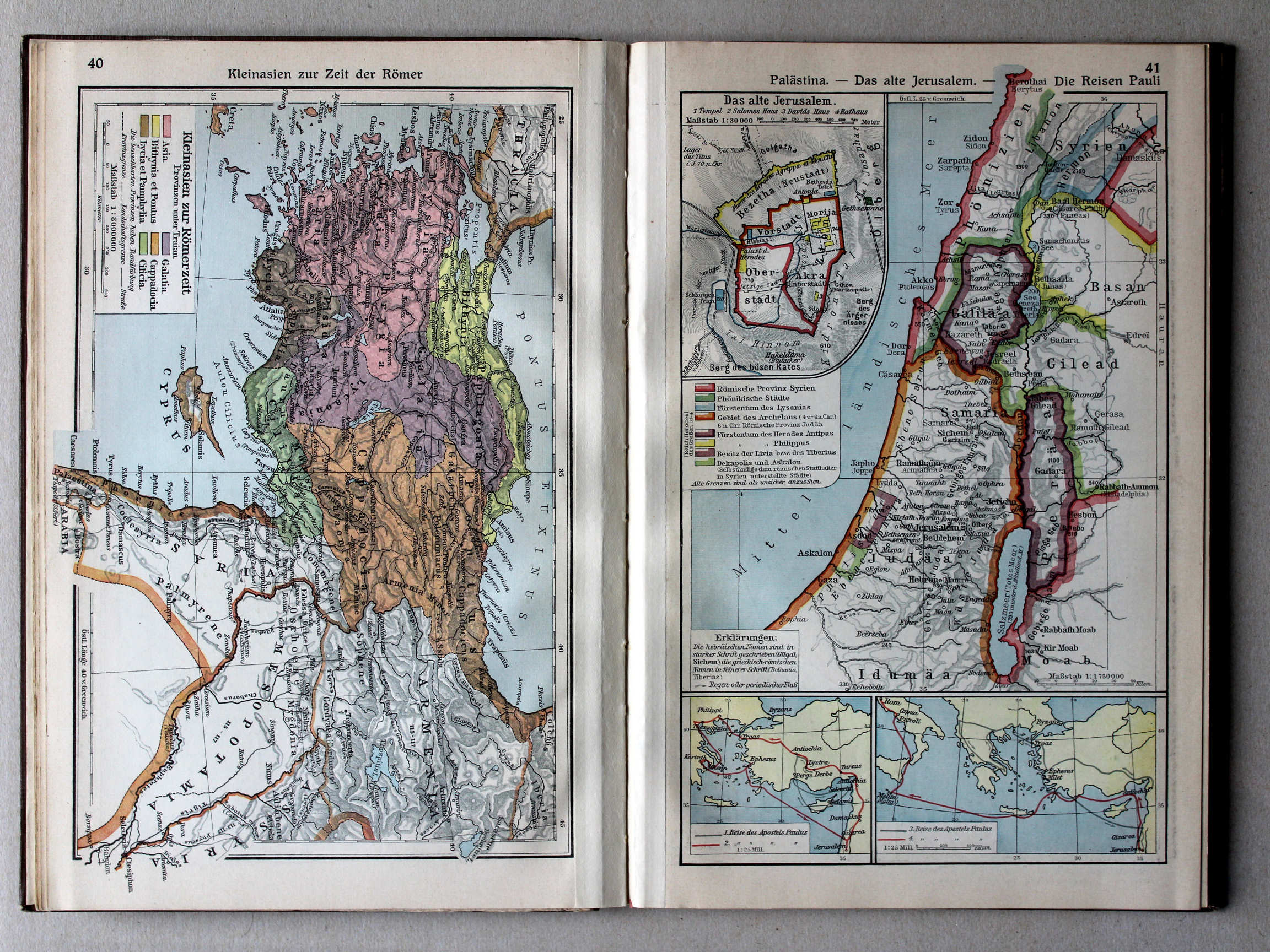
38. Palästina – Das alte Jerusalem – Die Reisen Pauli XL
Palestina. Het oude Jeruzalem. Reizen van de Apostel Paulus / Palestine. Ancient Jerusalem. Journeys of Paul the Apostle
 Putzgers Historischer Schul-Atlas, Große Ausgabe, 1931/33
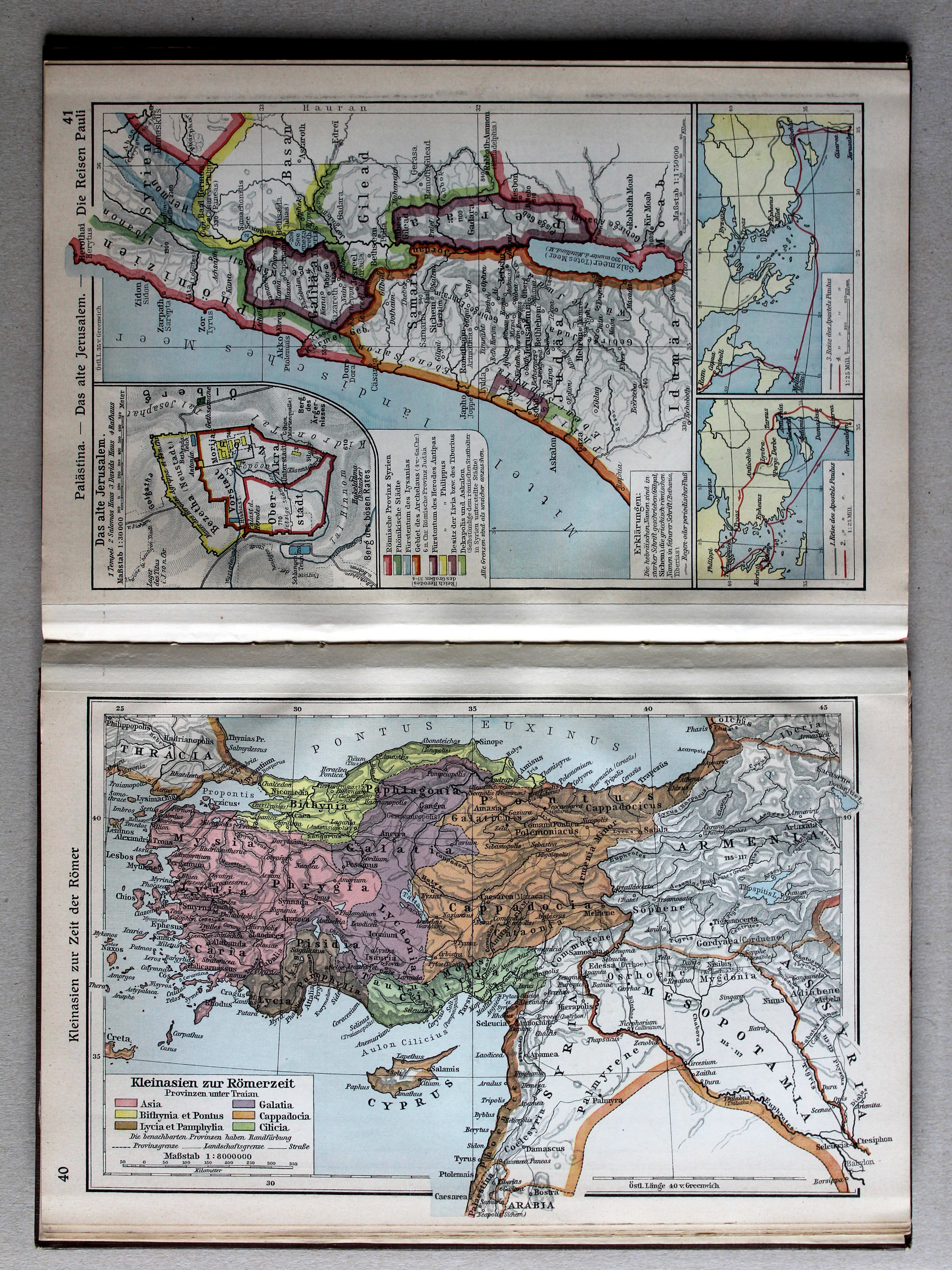
41. Palästina – Das alte Jerusalem – Die Reisen Pauli XL
Palestina. Het oude Jeruzalem. Reizen van de Apostel Paulus / Palestine. Ancient Jerusalem. Journeys of Paul the Apostle
 Putzgers Historischer Schul-Atlas, Große Ausgabe, 1934
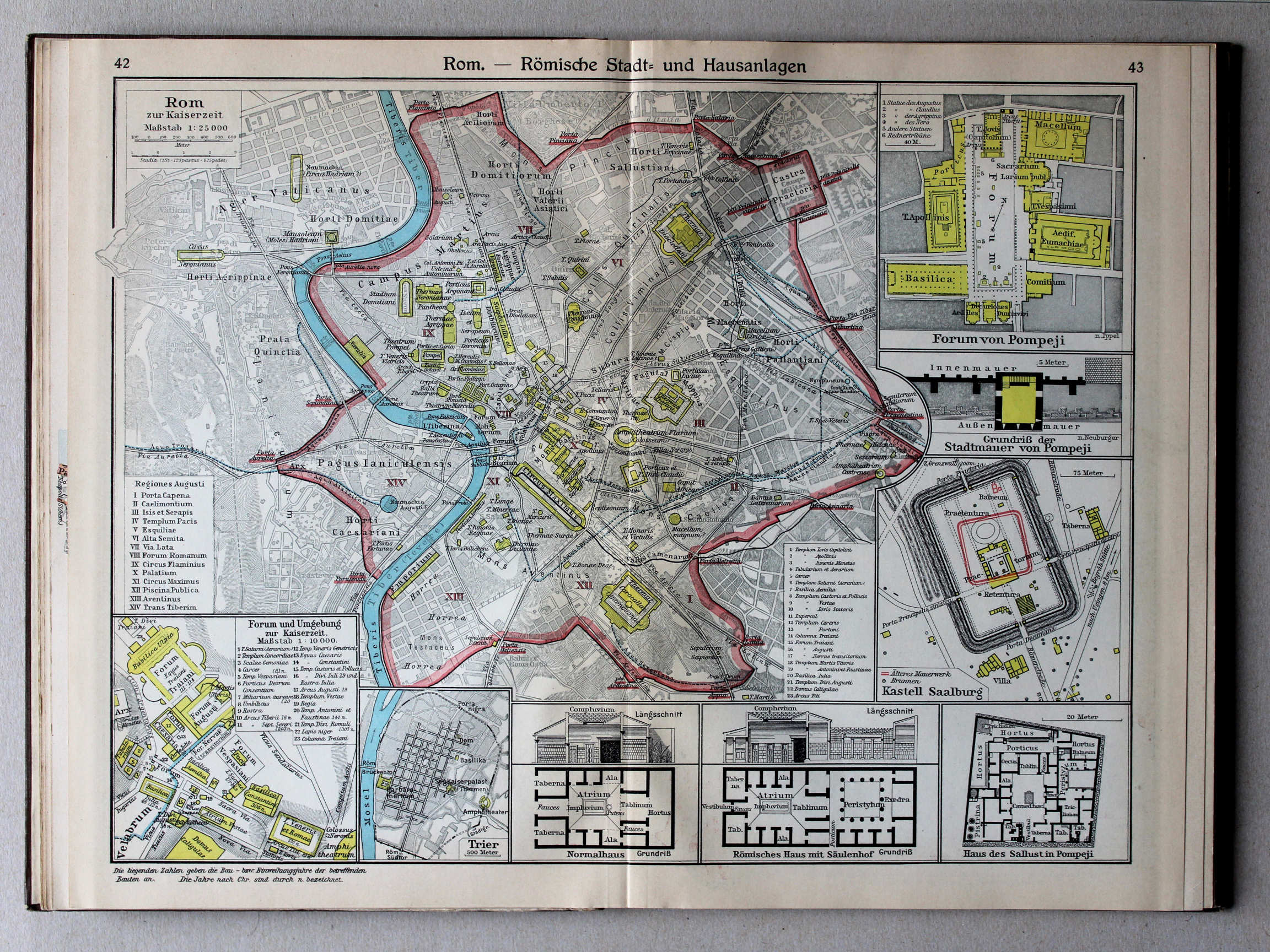
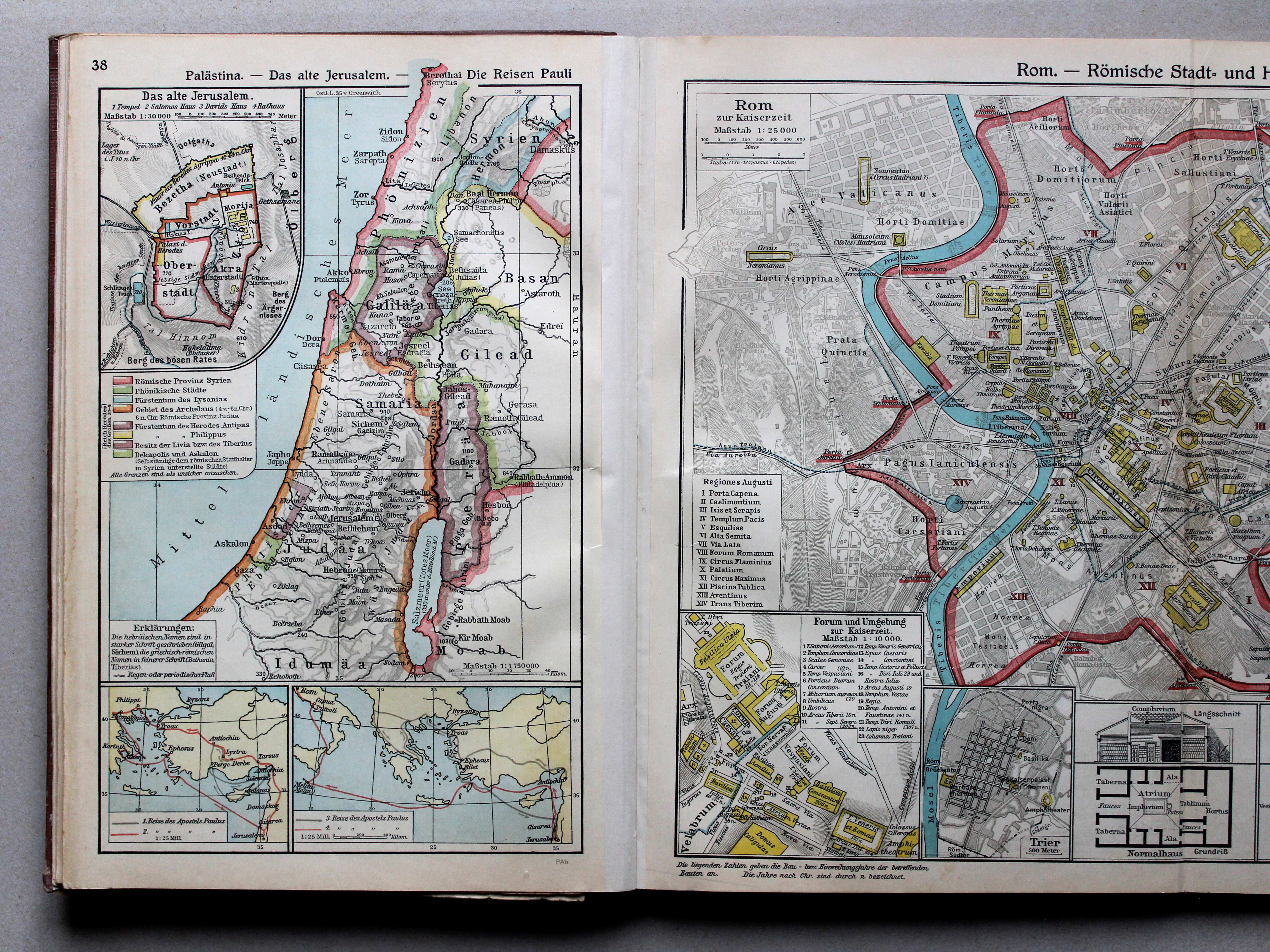
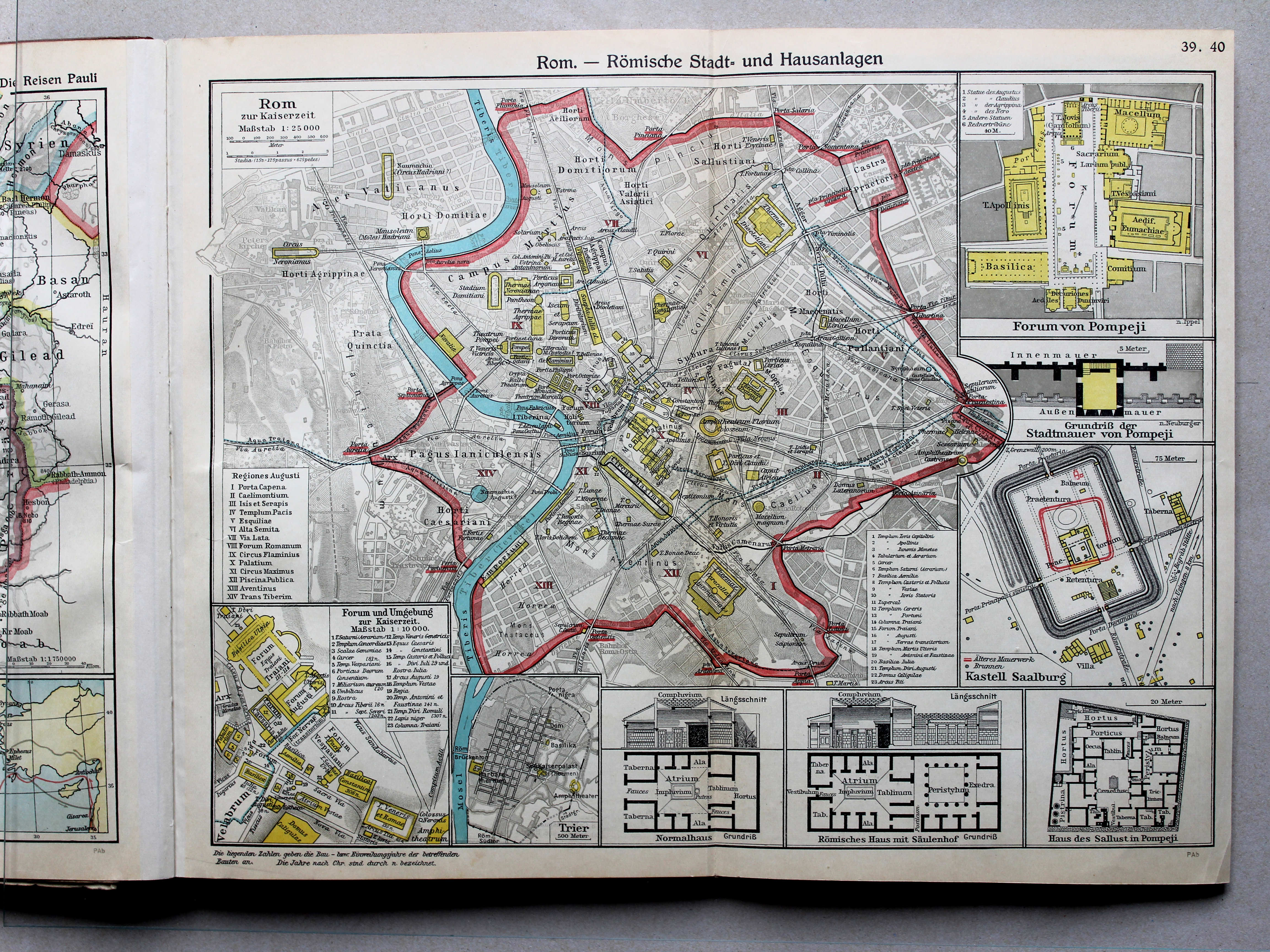
39.40. Rom – Römische Stadt- und Hausanlagen XL
Rome. Romeinse steden- en huizenbouw / Rome. Roman urban planning and housing architecture
 Putzgers Historischer Schul-Atlas, Große Ausgabe, 1931/33
42.43. Rom – Römische Stadt- und Hausanlagen XL
Rome. Romeinse steden- en huizenbouw / Rome. Roman urban planning and housing architecture
 Putzgers Historischer Schul-Atlas, Große Ausgabe, 1934
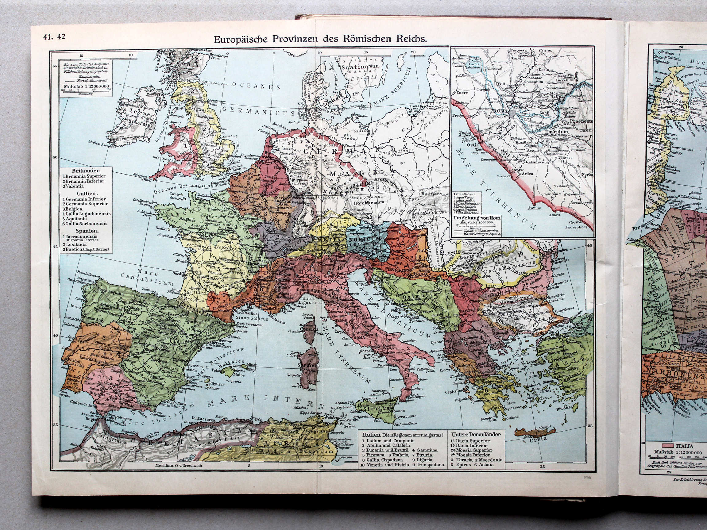
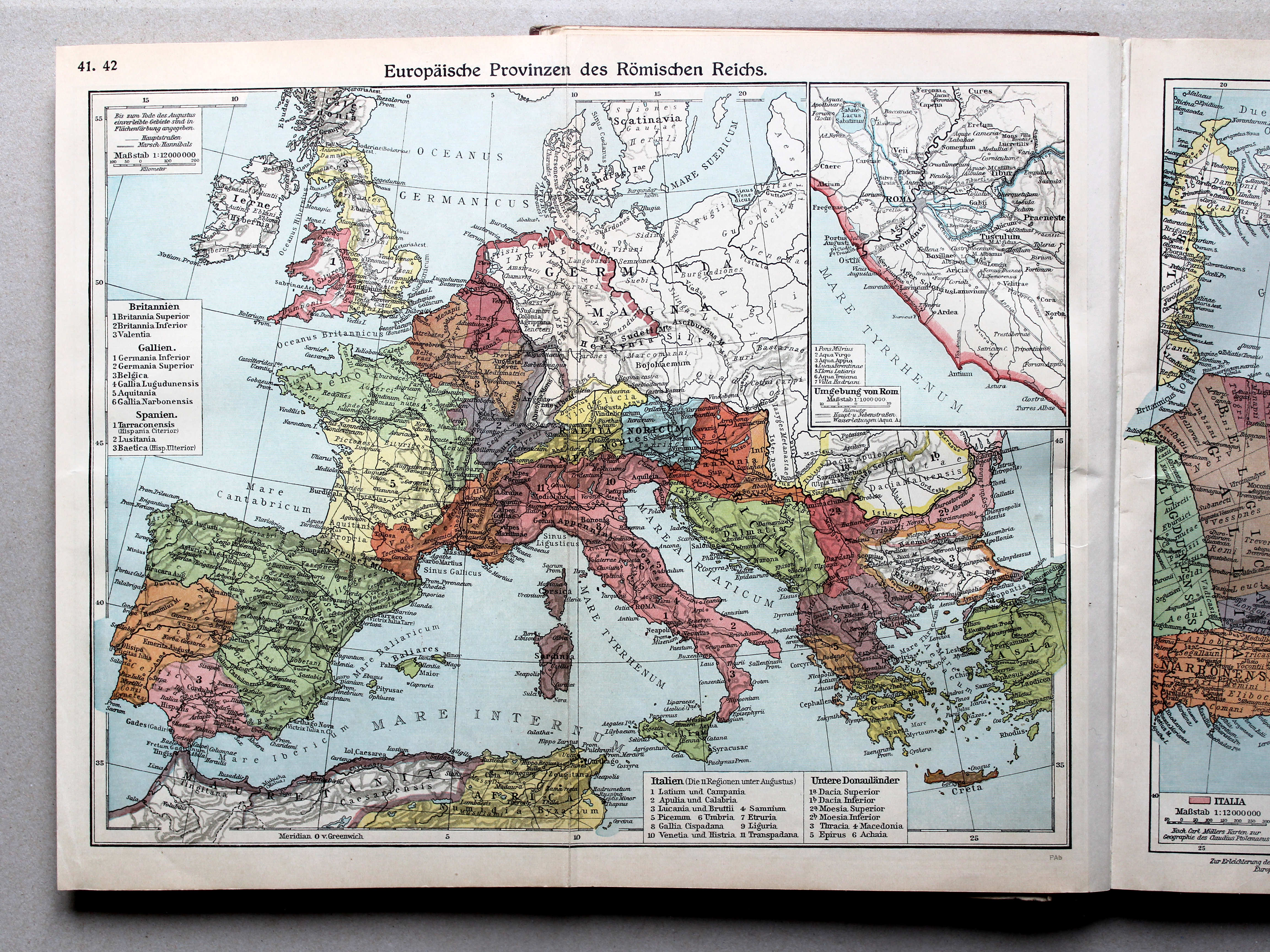
41.42. Europäische Provinzen des Römischen Reichs XL
Europese provincies van het Romeinse Rijk / European provinces of the Roman Empire
 Putzgers Historischer Schul-Atlas, Große Ausgabe, 1931/33
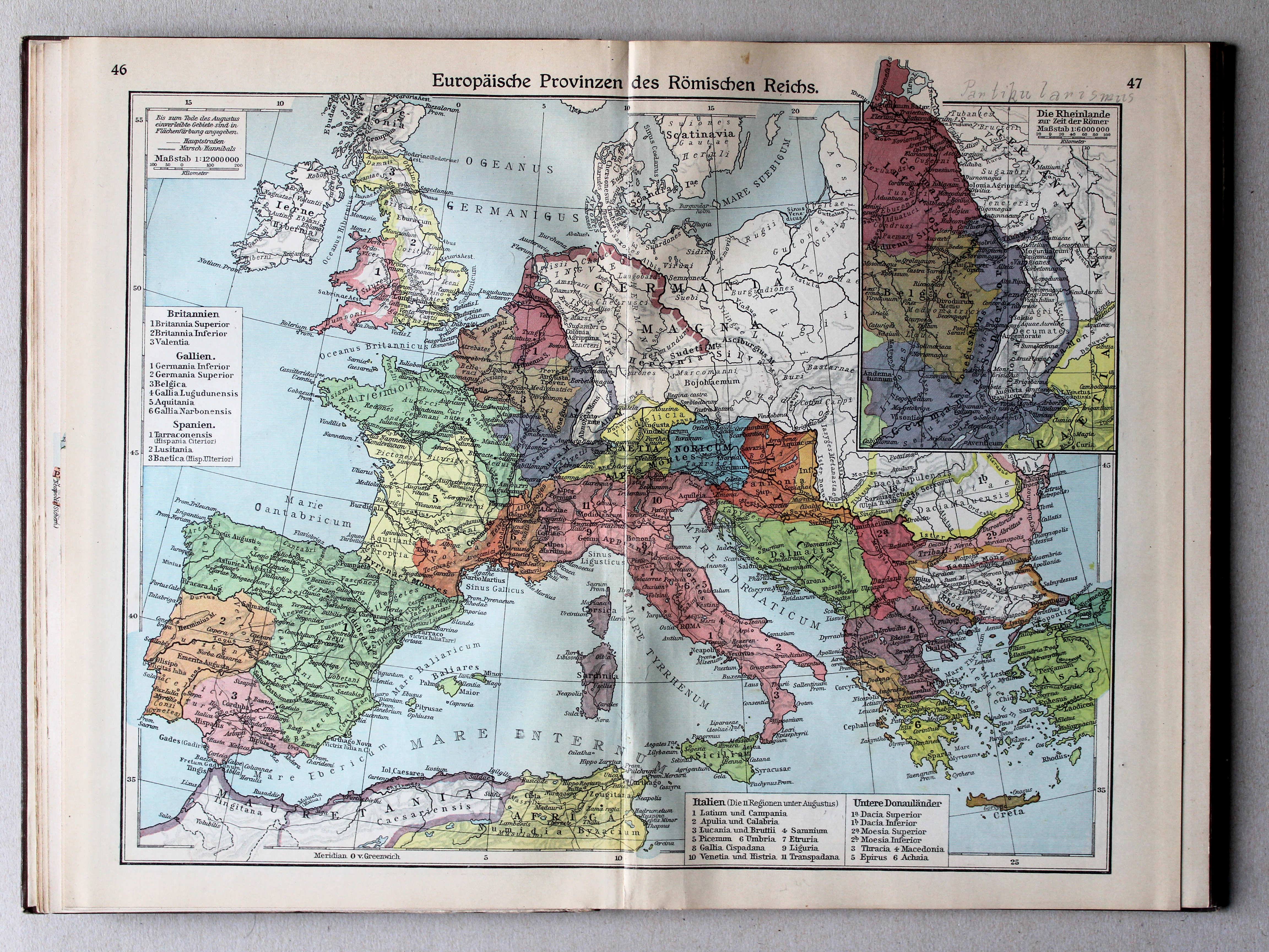
46.47. Europäische Provinzen des Römischen Reichs XL
Europese provincies van het Romeinse Rijk / European provinces of the Roman Empire
 Putzgers Historischer Schul-Atlas, Große Ausgabe, 1934
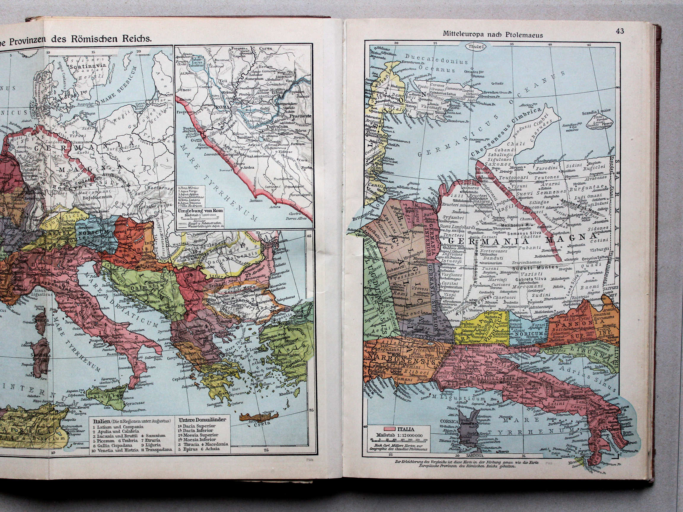
43. Mitteleuropa nach Ptolemaeus XL
Midden-Europa volgens Ptolemaeus / Central Europe after Ptolemy
 Putzgers Historischer Schul-Atlas, Große Ausgabe, 1931/33
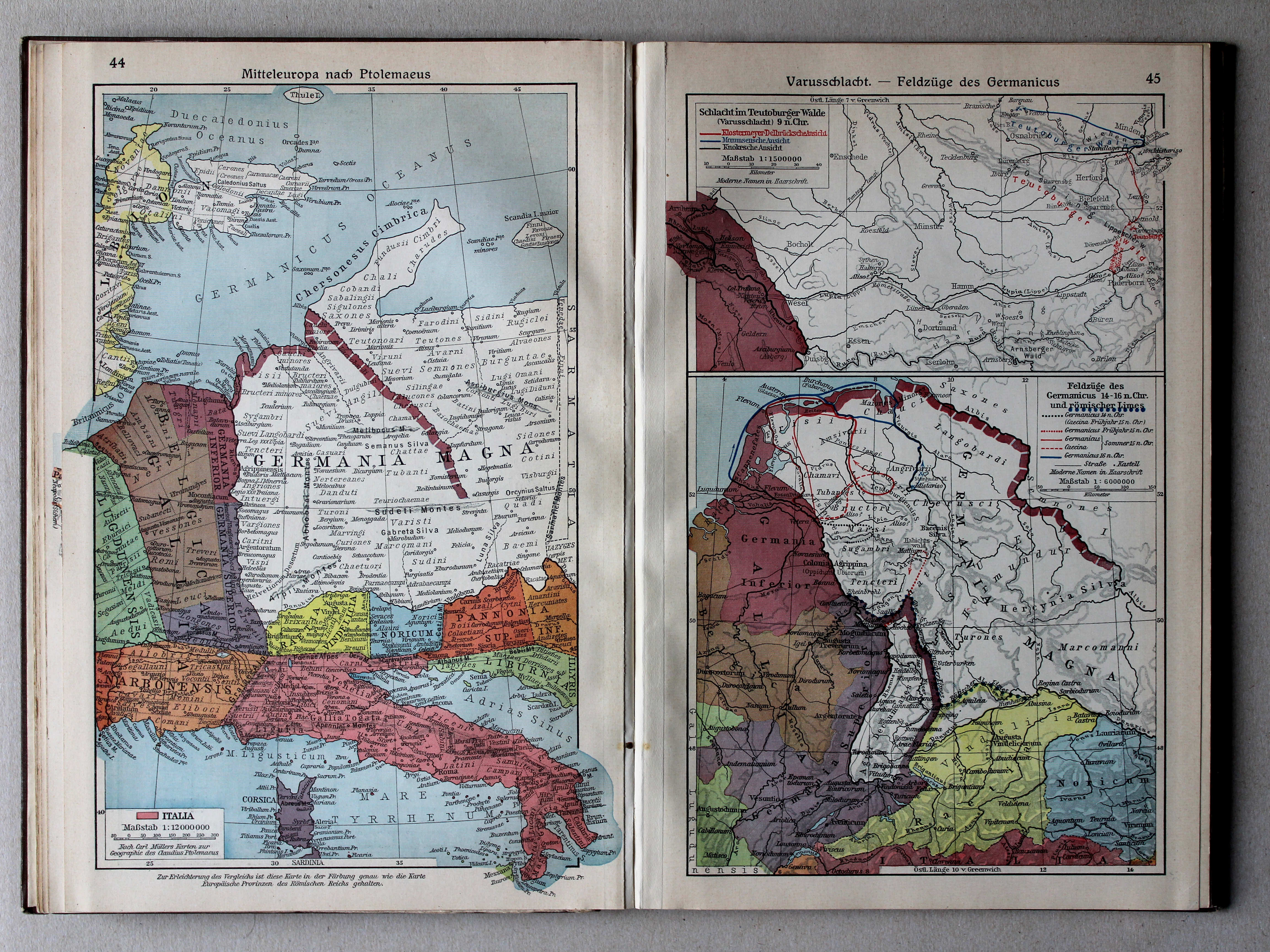
44. Mitteleuropa nach Ptolemaeus XL
Midden-Europa volgens Ptolemaeus / Central Europe after Ptolemy
45. Varusschlacht – Feldzüge des Germanicus XL
Slag bij het Teutoburgerwoud. Veldtochten van Germanicus / Battle of the Teutoburg Forest. Campaigns of Germanicus
 Putzgers Historischer Schul-Atlas, Große Ausgabe, 1934
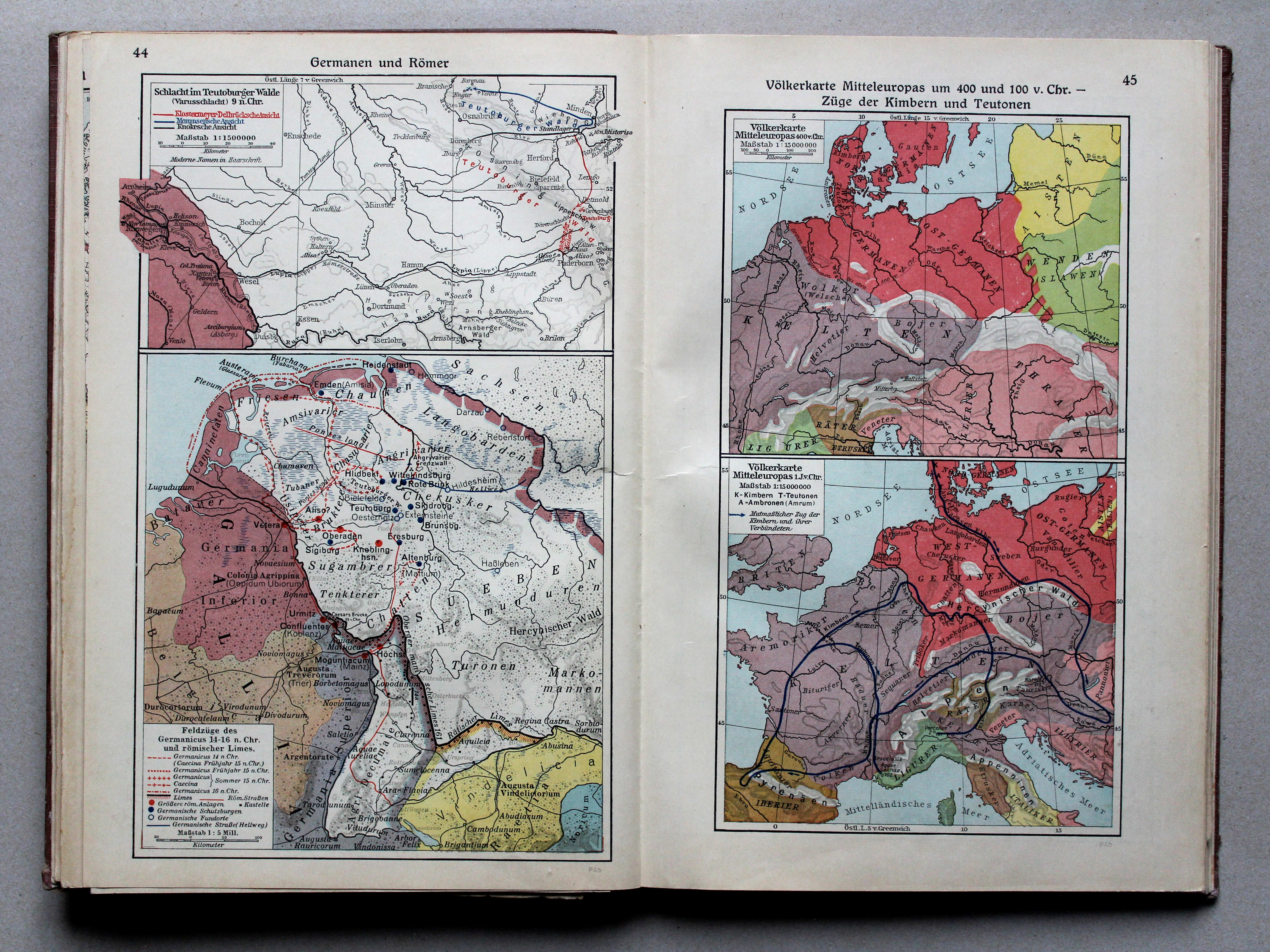
44. Germanen und Römer XL
Germanen en Romeinen / Germans and Romans
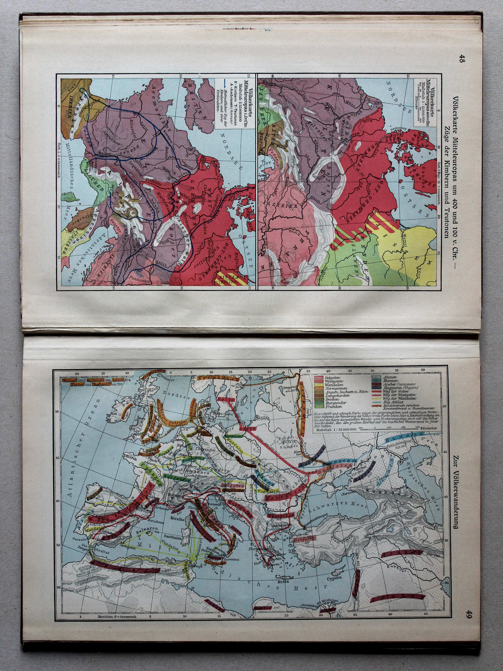
45. Völkerkarte Mitteleuropas um 400 und 100 v. Chr. – Züge der Kimbern und Teutonen XL
Etnografische kaart van Midden-Europa in 400 en 100 v. Chr. Tochten van de Kimbren en Teutonen / Ethnographic map of Central Europe in 400 and 100 BC. Journeys of the Cimbri and Teutones
Putzgers Historischer Schul-Atlas, Große Ausgabe, 1931/33
44. Mitteleuropa nach Ptolemaeus XL
Midden-Europa volgens Ptolemaeus / Central Europe after Ptolemy
45. Varusschlacht – Feldzüge des Germanicus XL
Slag bij het Teutoburgerwoud. Veldtochten van Germanicus / Battle of the Teutoburg Forest. Campaigns of Germanicus
Putzgers Historischer Schul-Atlas, Große Ausgabe, 1934
44. Germanen und Römer XL
Germanen en Romeinen / Germans and Romans
45. Völkerkarte Mitteleuropas um 400 und 100 v. Chr. – Züge der Kimbern und Teutonen XL
Etnografische kaart van Midden-Europa in 400 en 100 v. Chr. Tochten van de Kimbren en Teutonen / Ethnographic map of Central Europe in 400 and 100 BC. Journeys of the Cimbri and Teutones
 Putzgers Historischer Schul-Atlas, Große Ausgabe, 1931/33
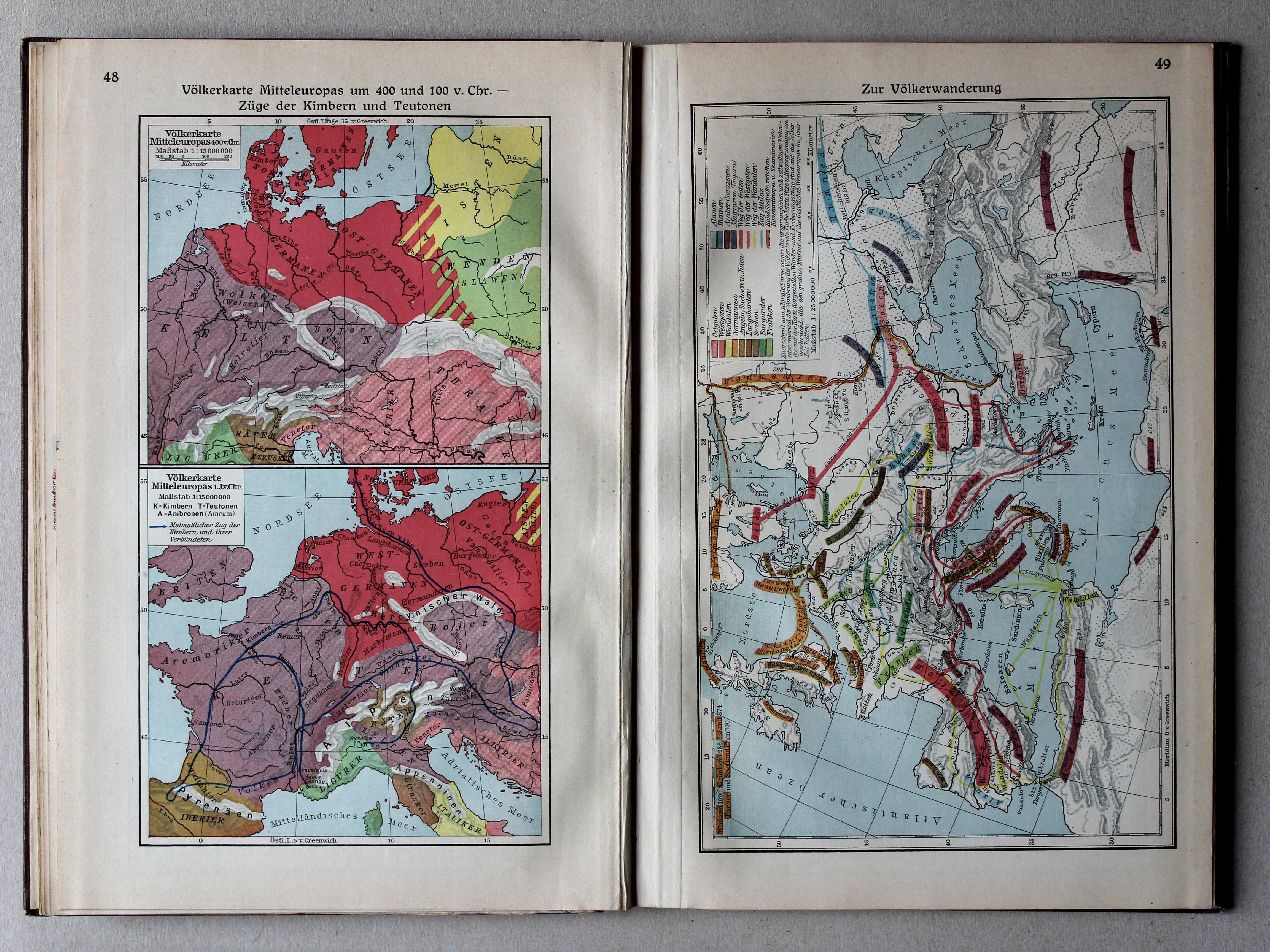
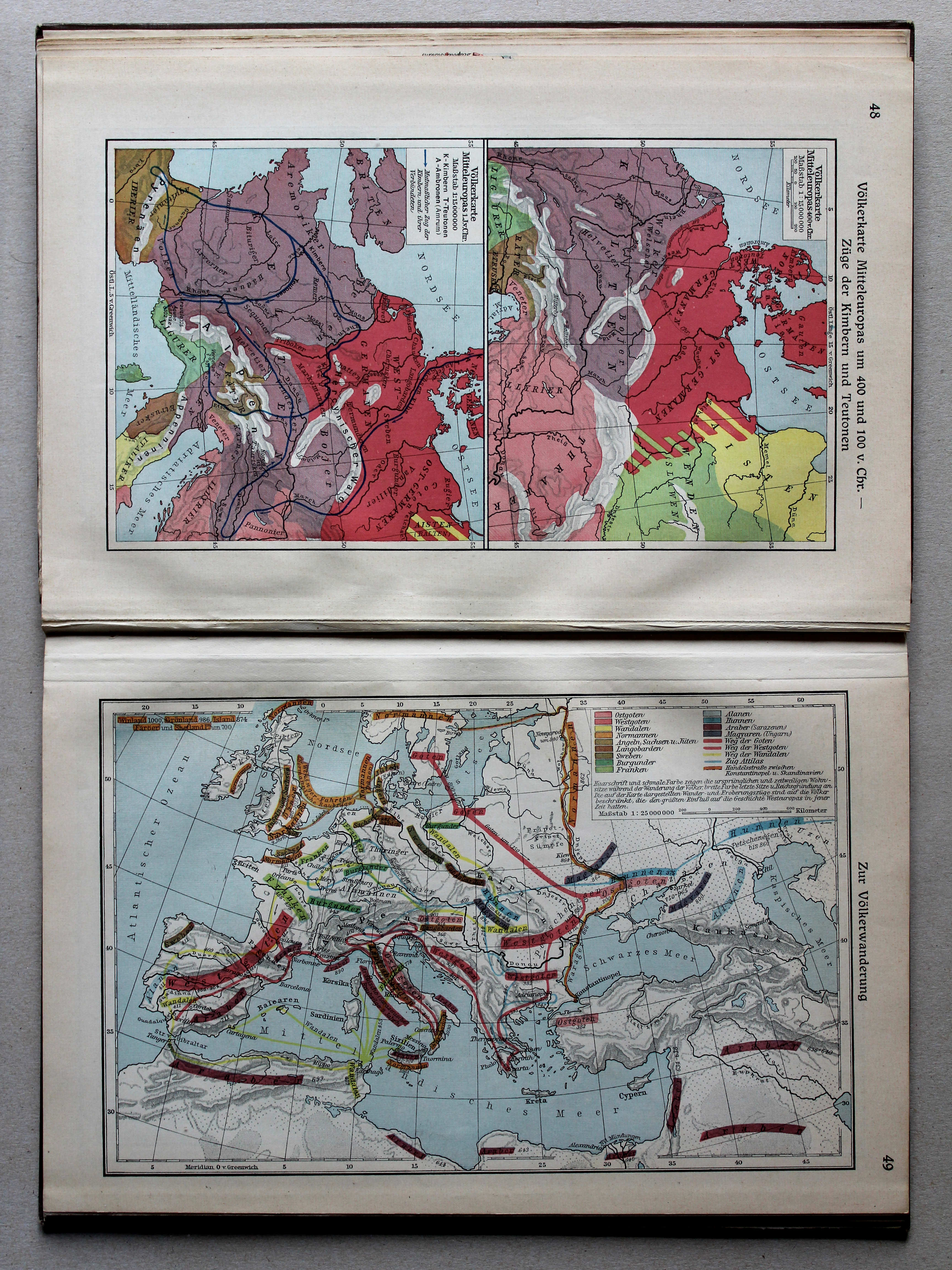
48. Völkerkarte Mitteleuropas um 400 und 100 v. Chr. – Züge der Kimbern und Teutonen XL
Etnografische kaart van Midden-Europa in 400 en 100 v. Chr. Tochten van de Kimbren en Teutonen / Ethnographic map of Central Europe in 400 and 100 BC. Journeys of the Cimbri and Teutones
 Putzgers Historischer Schul-Atlas, Große Ausgabe, 1934
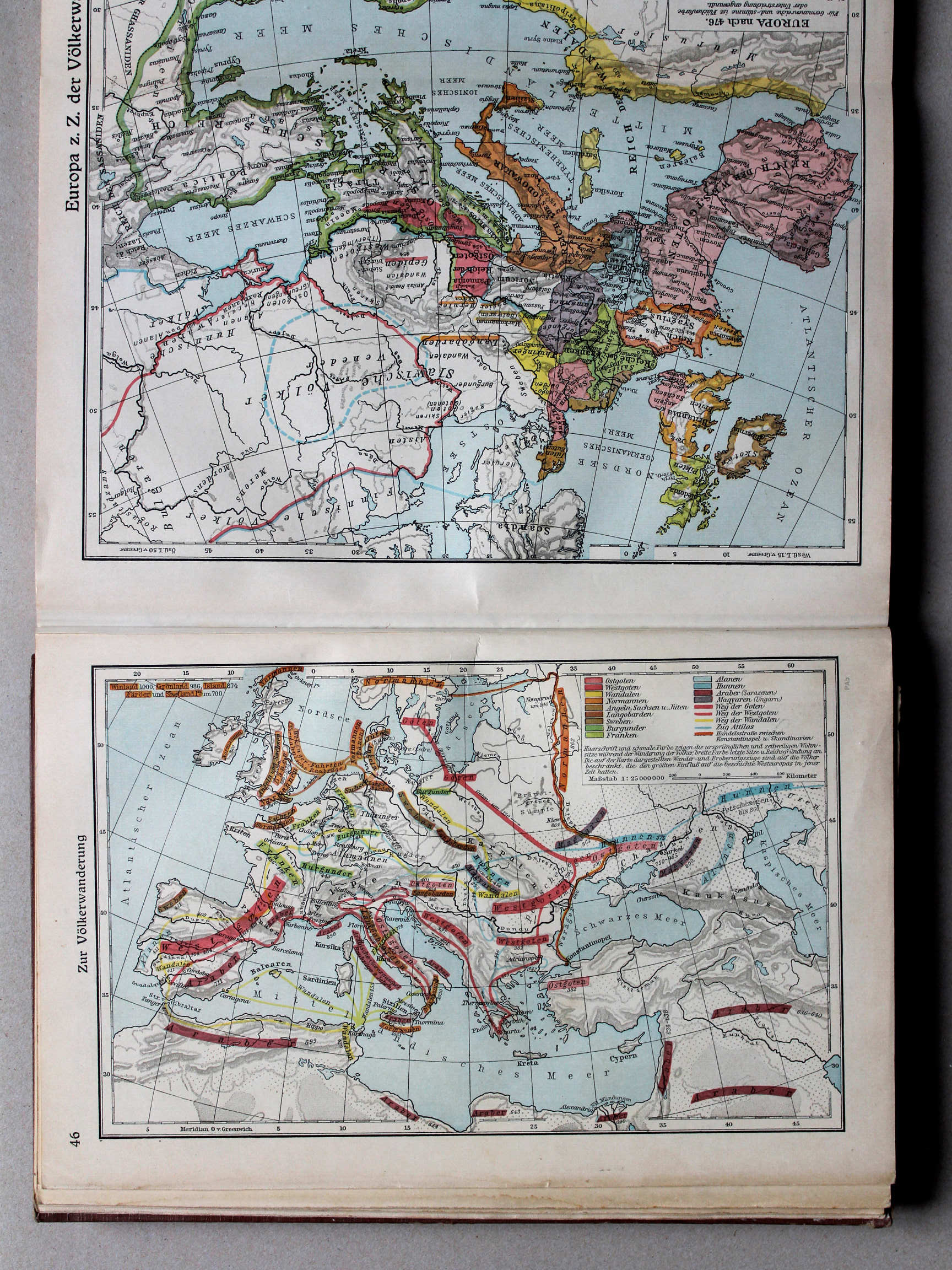
46. Zur Völkerwanderung XL
De Volksverhuizing / The Migration Period
 Putzgers Historischer Schul-Atlas, Große Ausgabe, 1931/33
49. Zur Völkerwanderung XL
De Volksverhuizing / The Migration Period
 Putzgers Historischer Schul-Atlas, Große Ausgabe, 1934
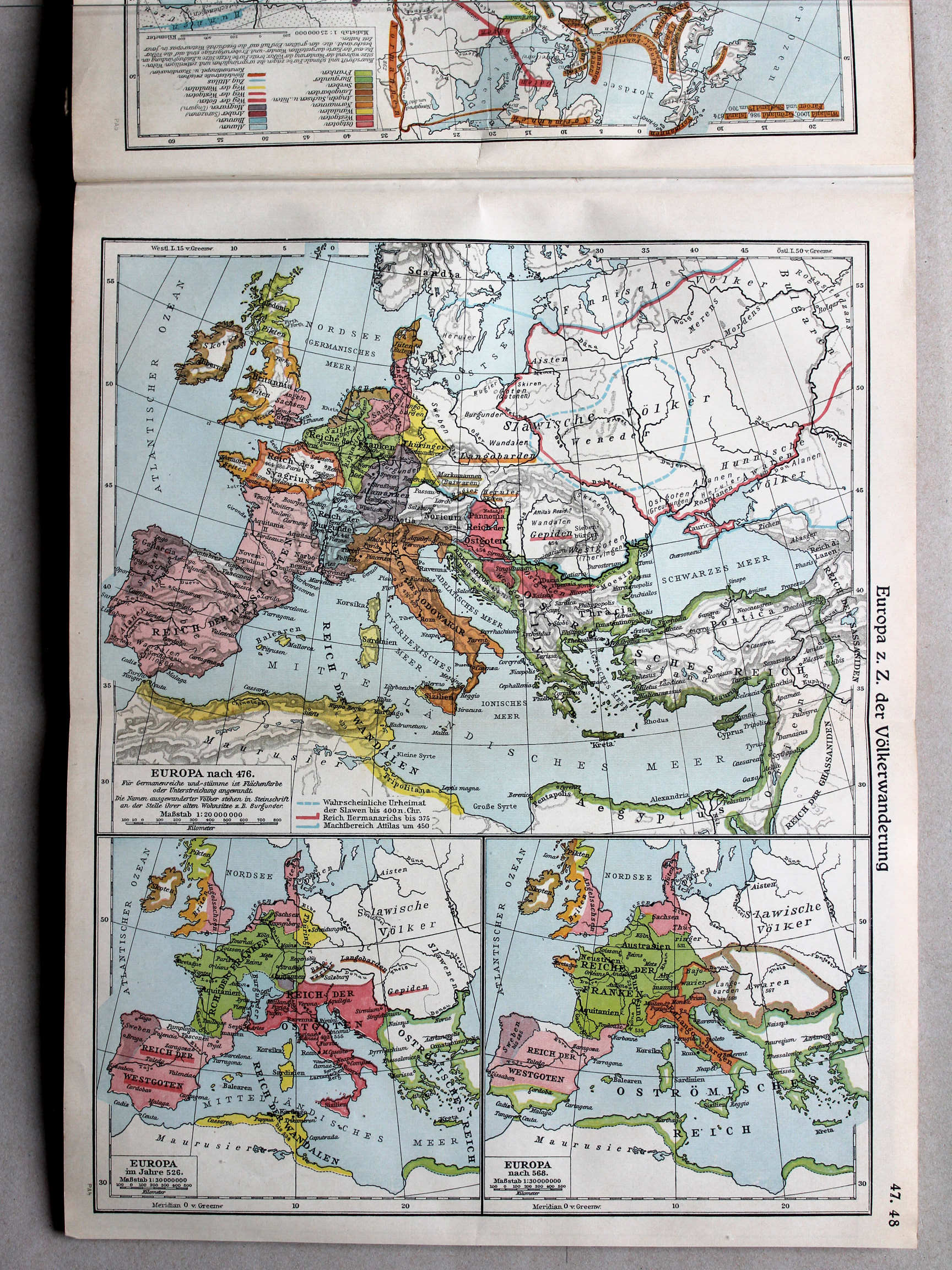
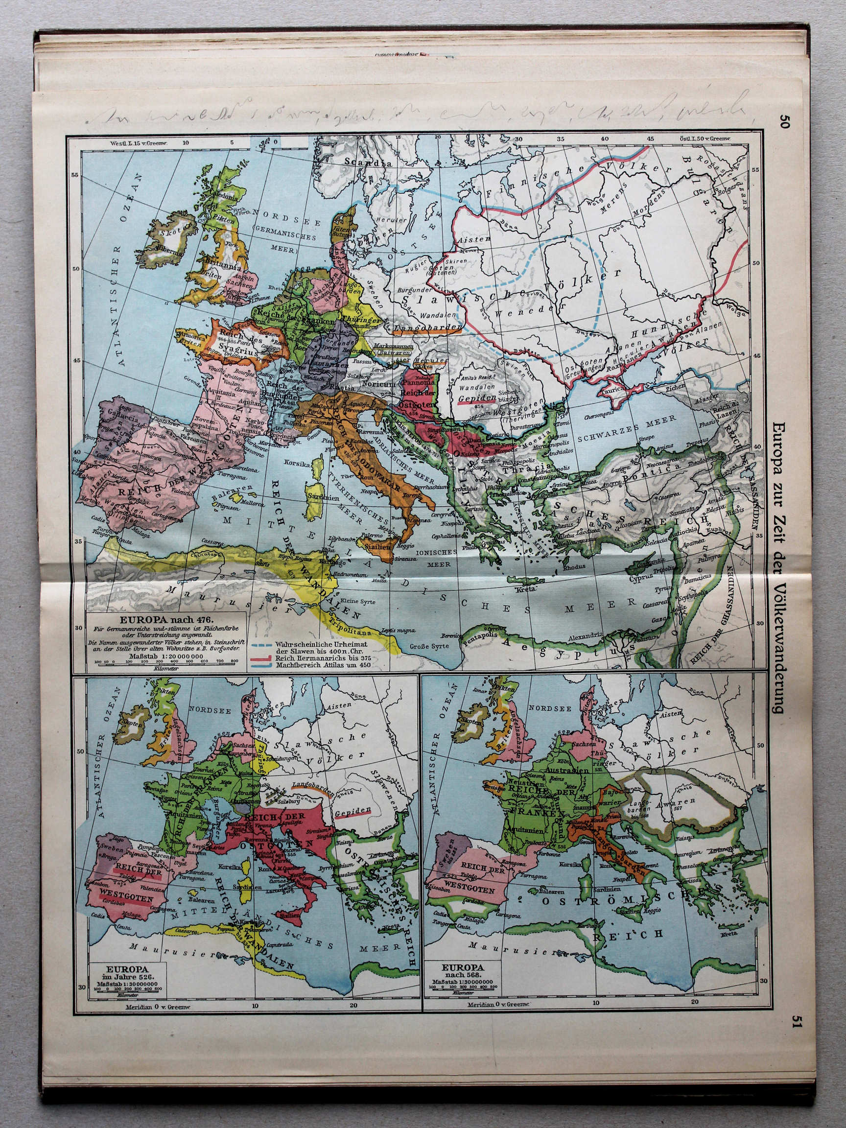
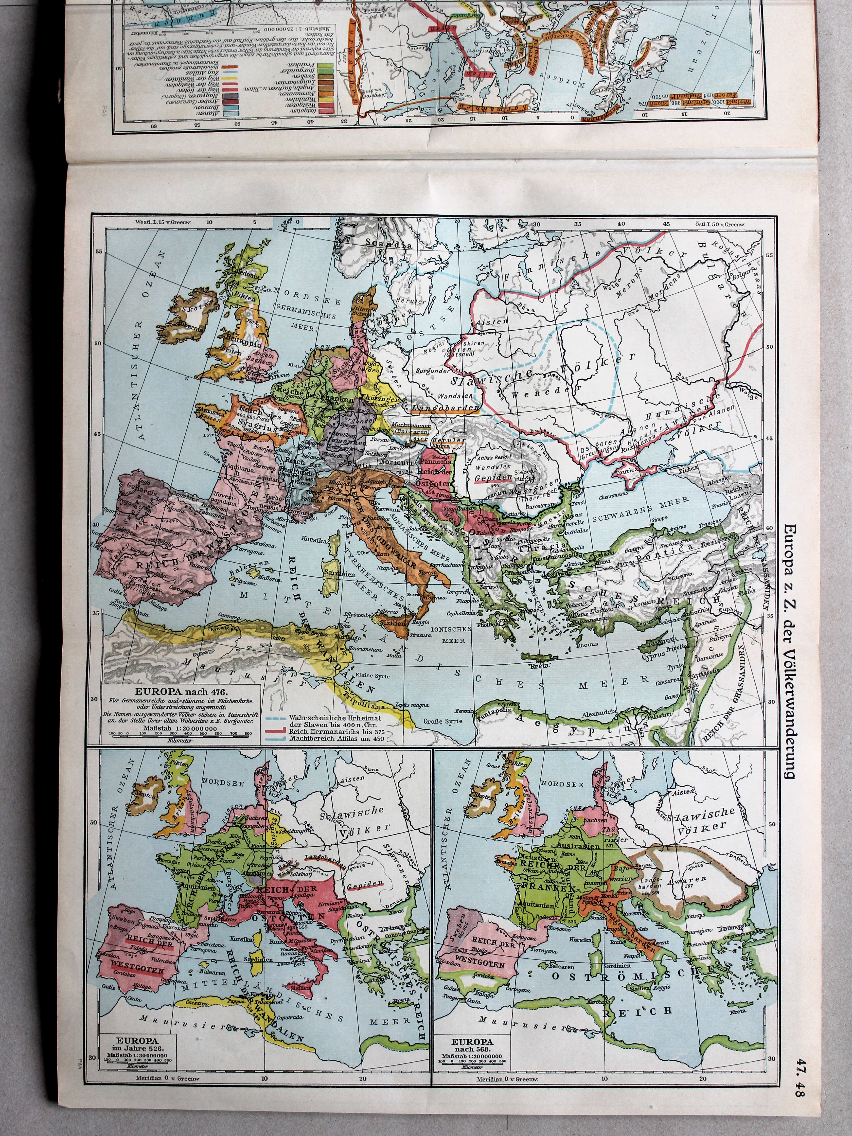
47.48. Europa zur Zeit der Völkerwanderung XL
Europa tijdens de Volksverhuizing / Europe during the Migration Period
 Putzgers Historischer Schul-Atlas, Große Ausgabe, 1931/33
50.51. Europa zur Zeit der Völkerwanderung XL
Europa tijdens de Volksverhuizing / Europe during the Migration Period
 Putzgers Historischer Schul-Atlas, Große Ausgabe, 1934
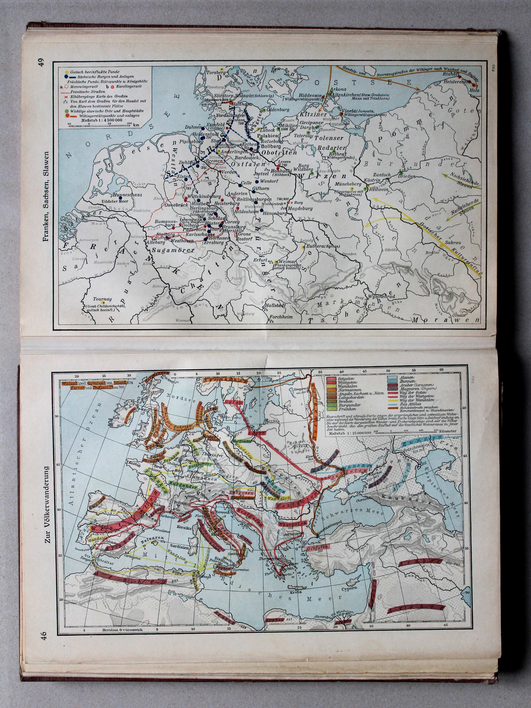
49. Franken, Sachsen, Slawen XL
Franken, Saksen, Slaven / Franks, Saxons, Slavs
Putzgers Historischer Schul-Atlas, Große Ausgabe, 1931/33
geen overeenkomstige kaart / no corresponding map
 Putzgers Historischer Schul-Atlas, Große Ausgabe, 1934
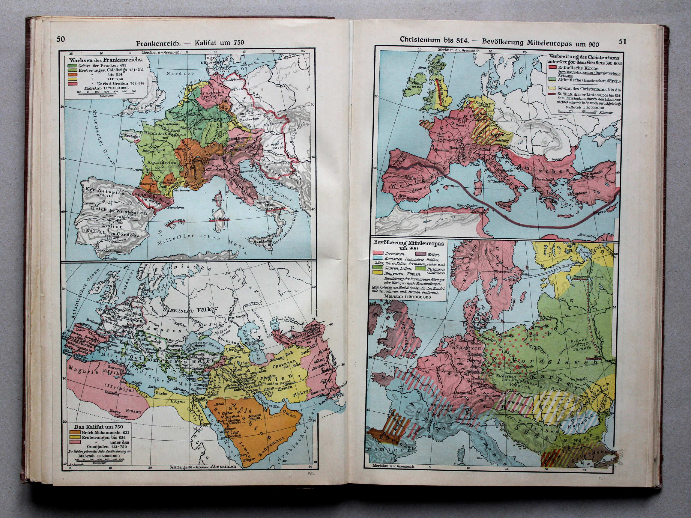
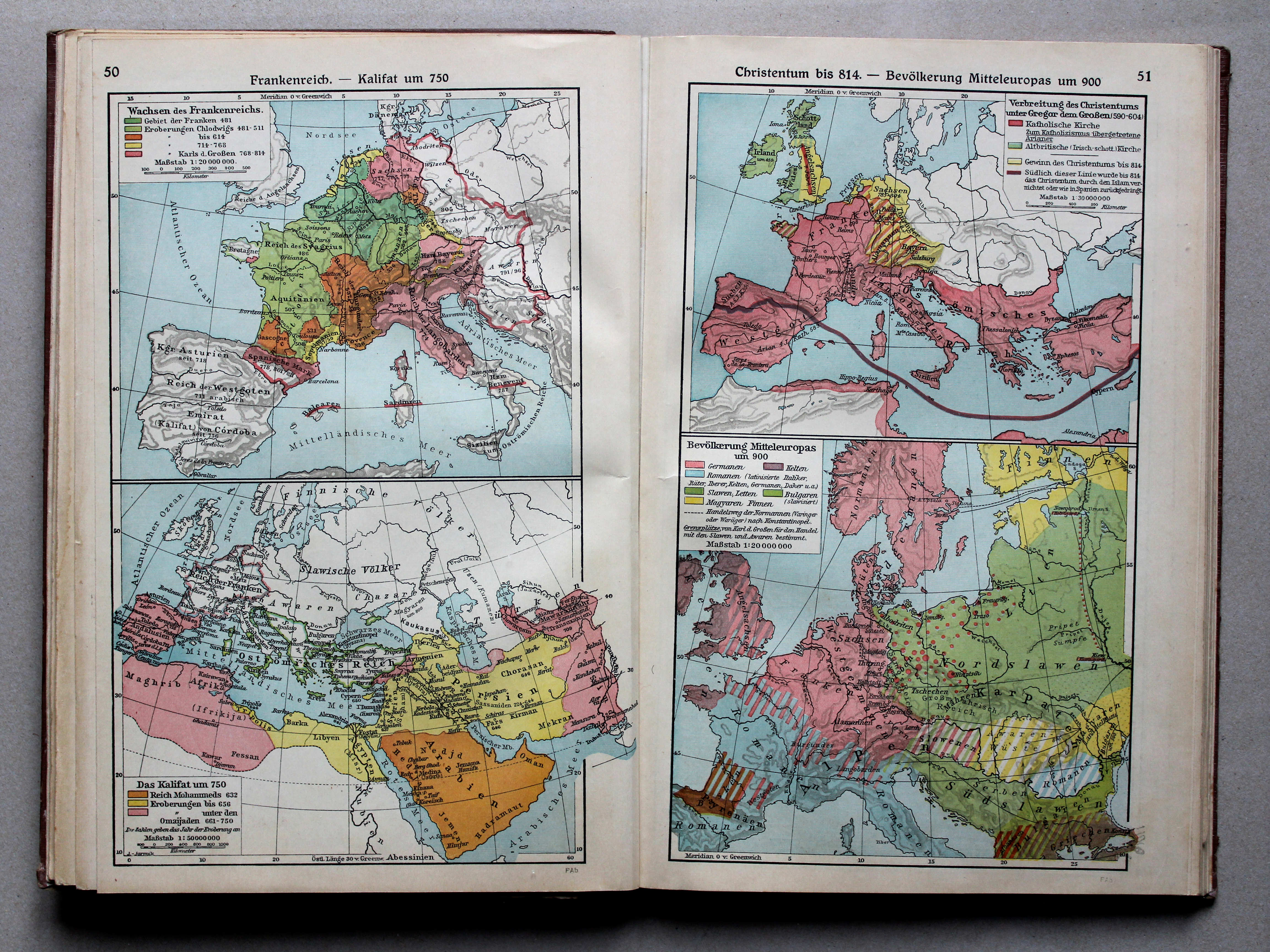
50. Frankenreich – Kalifat um 750 XL
Het Frankische Rijk. Het Kalifaat rond 750 / The Frankish Empire. The Caliphate around 750
51. Christentum bis 814 – Bevölkerung Mitteleuropas um 900 XL
Christendom tot 814. Volkeren in Midden-Europa rond 900 / Christianity until 814. Nations in Central Europe around 900
 Putzgers Historischer Schul-Atlas, Große Ausgabe, 1931/33
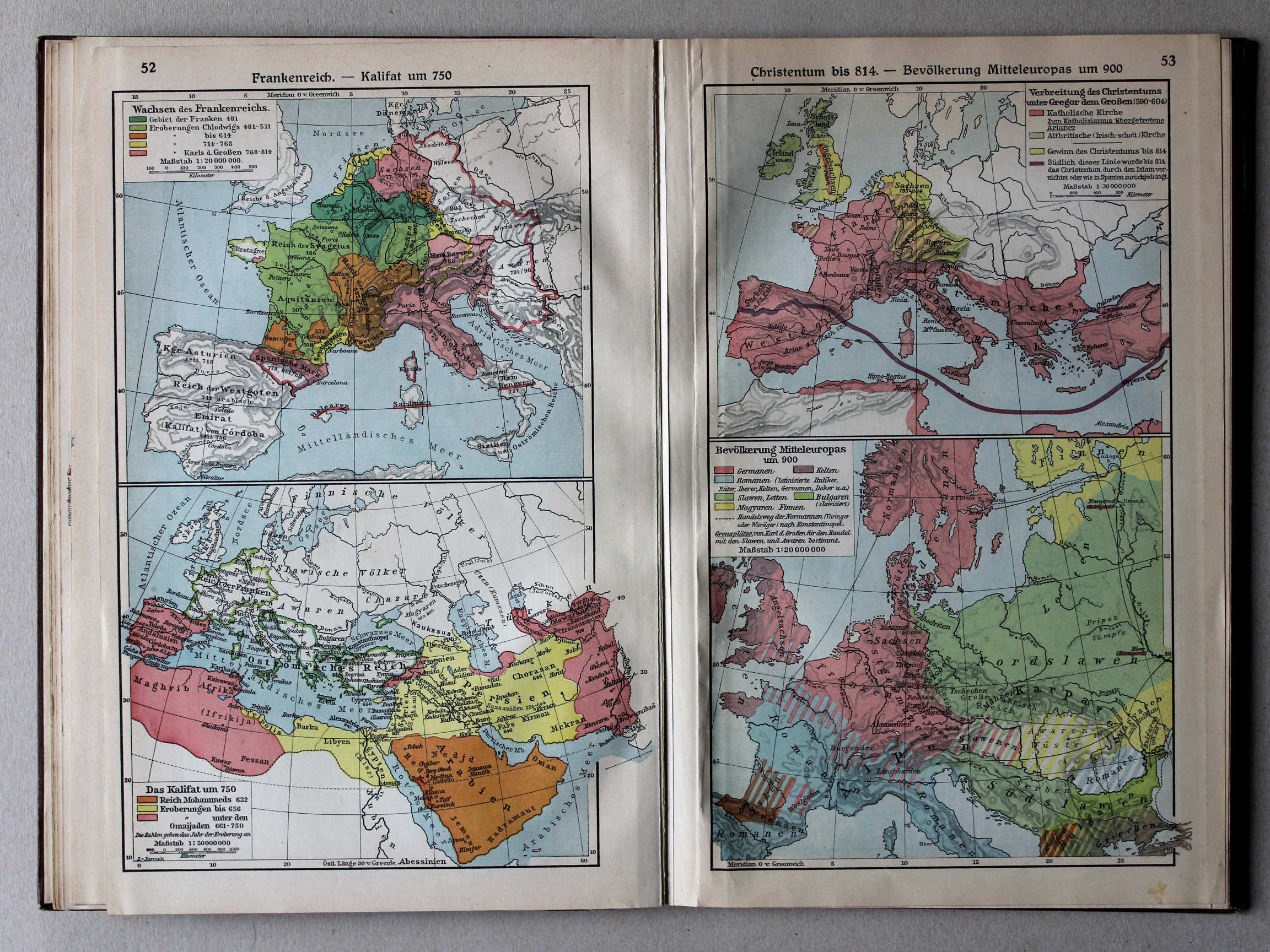
52. Frankenreich – Kalifat um 750 XL
Het Frankische Rijk. Het Kalifaat rond 750 / The Frankish Empire. The Caliphate around 750
53. Christentum bis 814 – Bevölkerung Mitteleuropas um 900 XL
Christendom tot 814. Volkeren in Midden-Europa rond 900 / Christianity until 814. Nations in Central Europe around 900
 Putzgers Historischer Schul-Atlas, Große Ausgabe, 1934
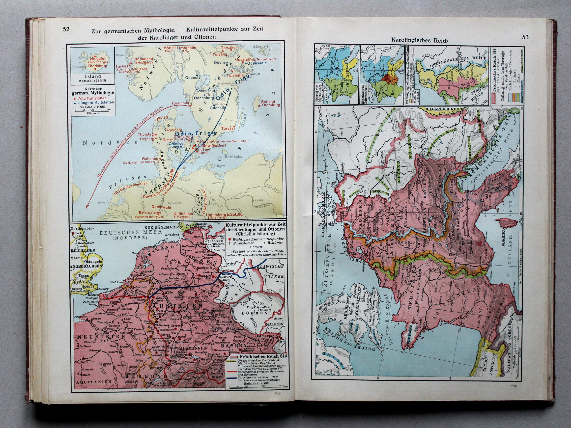
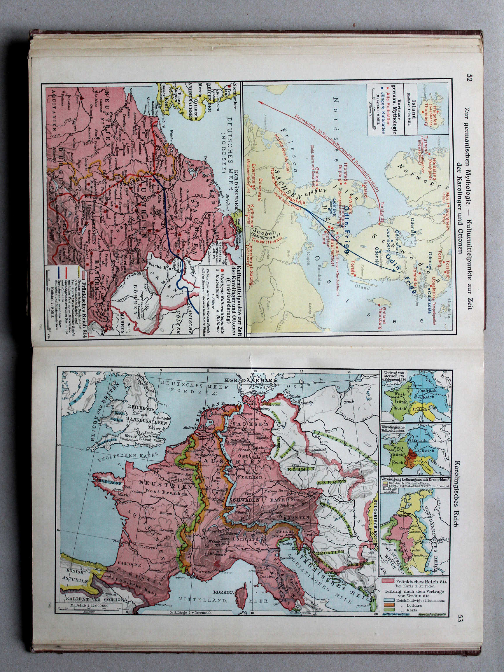
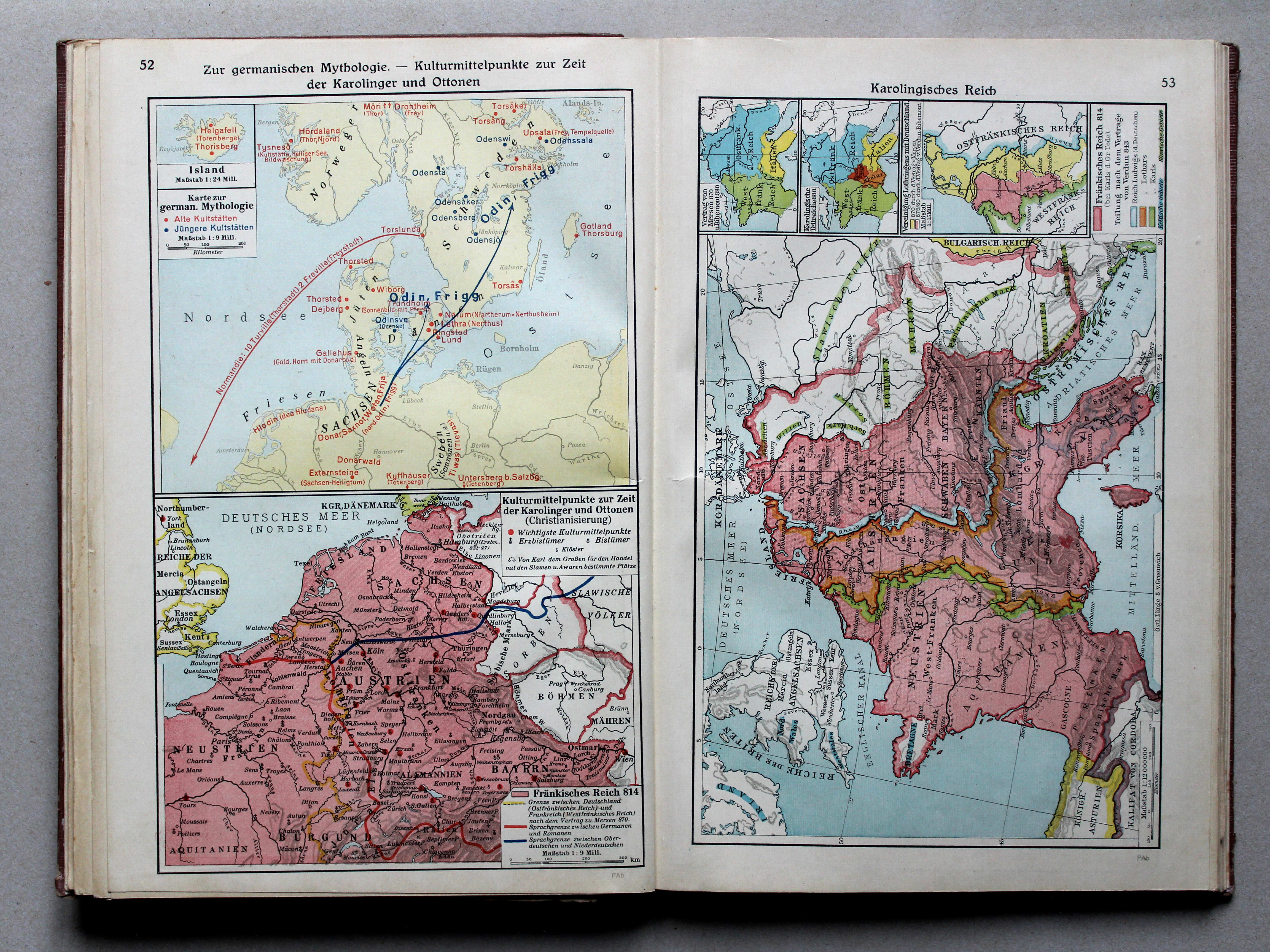
52. Zur germanischen Mythologie – Kulturmittelpunkte zur Zeit der Karolinger und Ottonen XL
Germaanse mythologie. Beschavingscentra in de tijd van de Karolingen en Ottonen / Germanic paganism. Cultural centers during the Carolingian and Ottonian dynasties
 Putzgers Historischer Schul-Atlas, Große Ausgabe, 1931/33
geen overeenkomstige kaart / no corresponding map
 Putzgers Historischer Schul-Atlas, Große Ausgabe, 1934
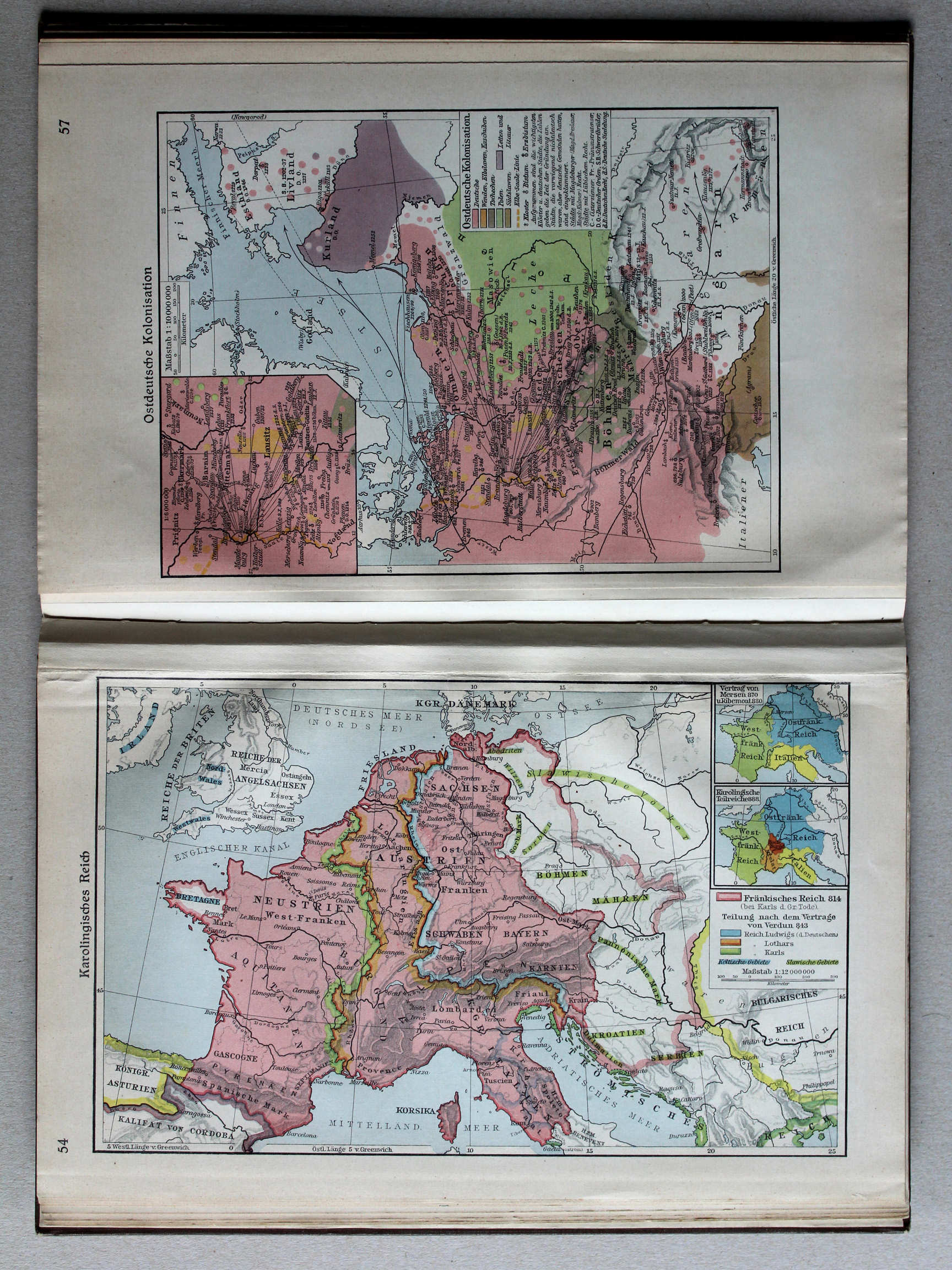
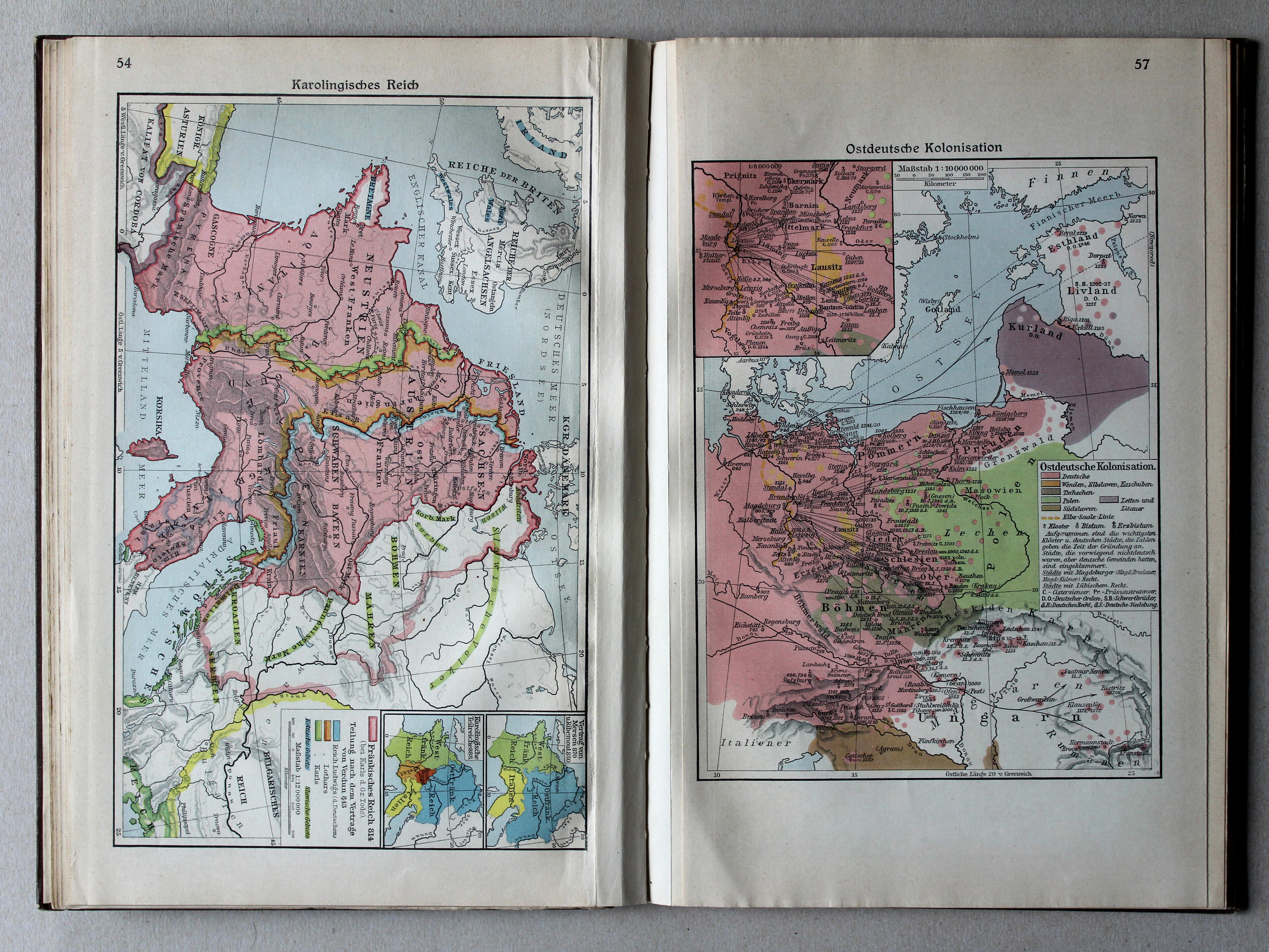
53. Karolingisches Reich XL
Het Karolingische Rijk / Carolingian Empire
 Putzgers Historischer Schul-Atlas, Große Ausgabe, 1931/33
54. Karolingisches Reich XL
Het Karolingische Rijk / Carolingian Empire
 Putzgers Historischer Schul-Atlas, Große Ausgabe, 1931/33
geen overeenkomstige kaart / no corresponding map
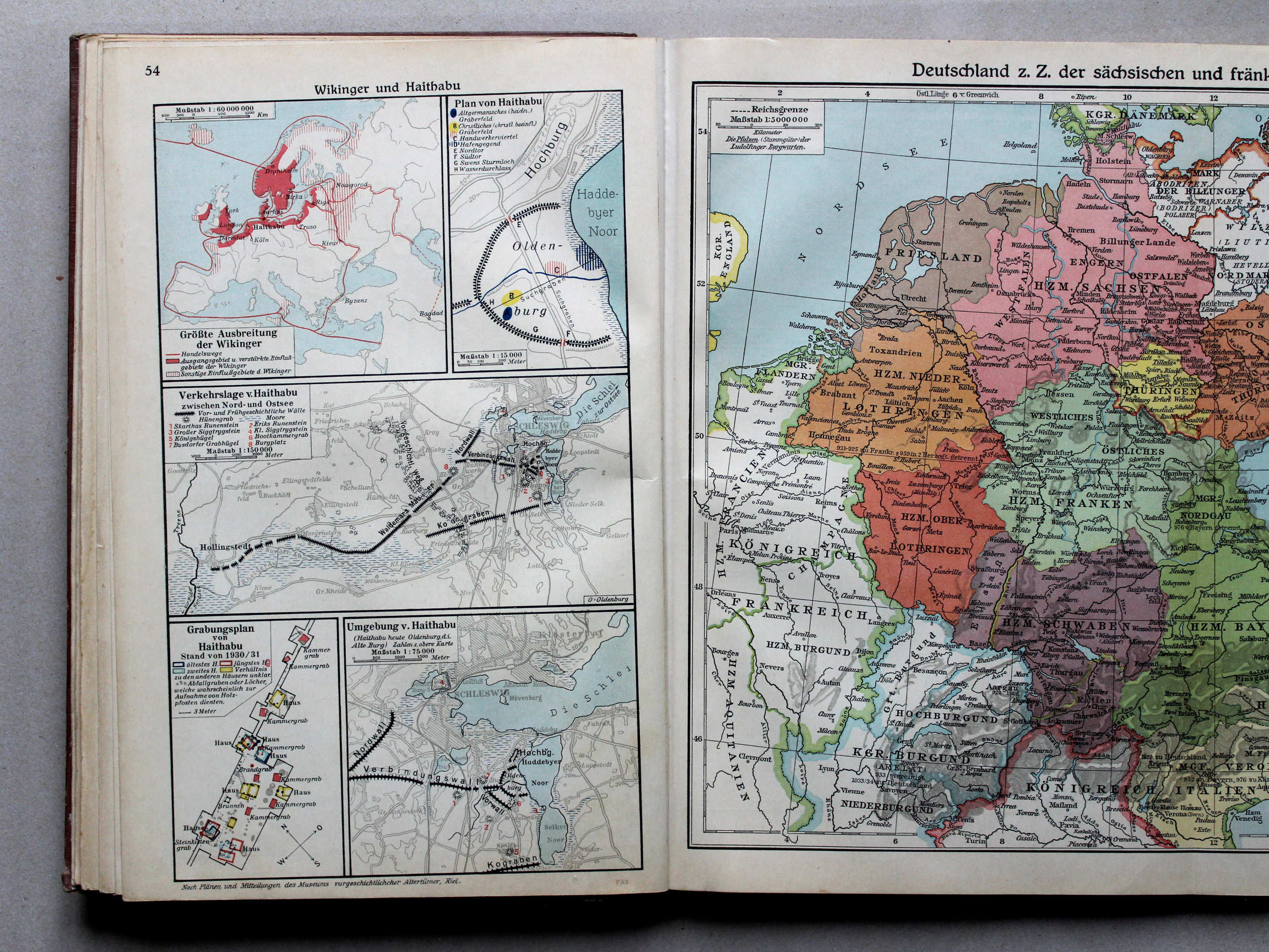
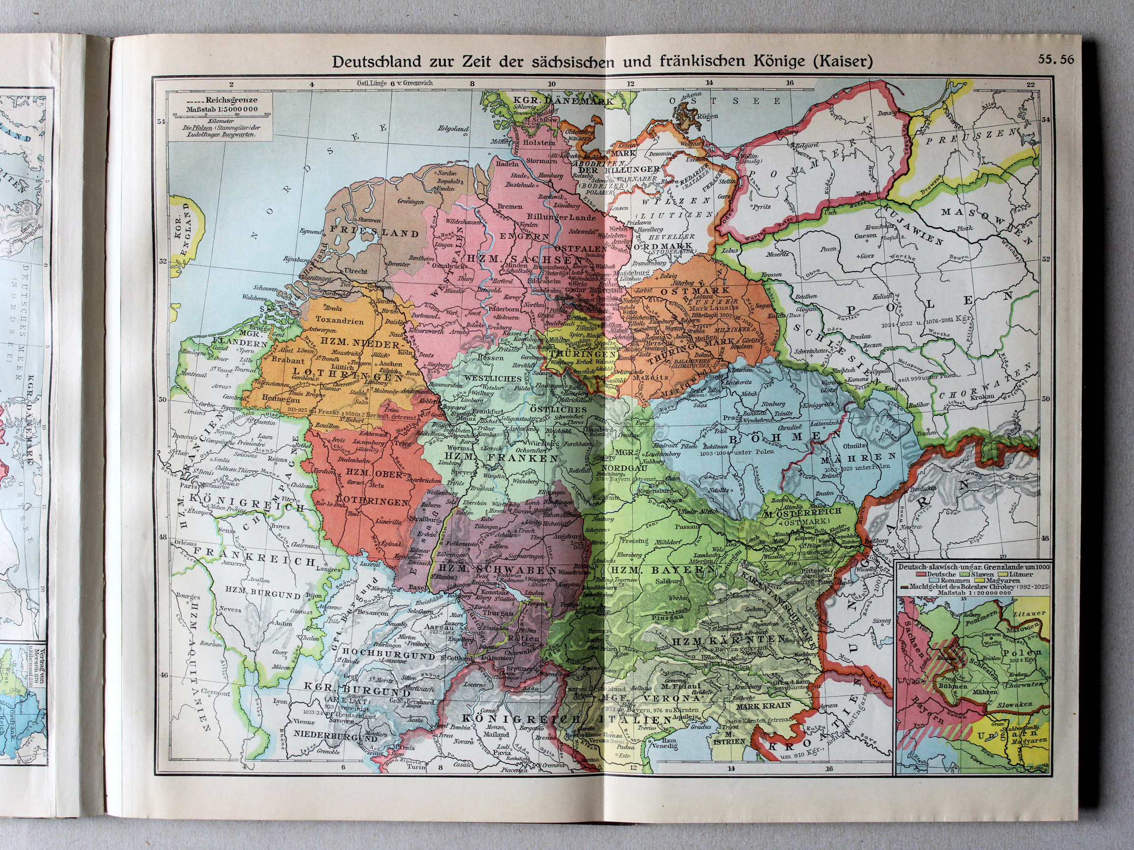
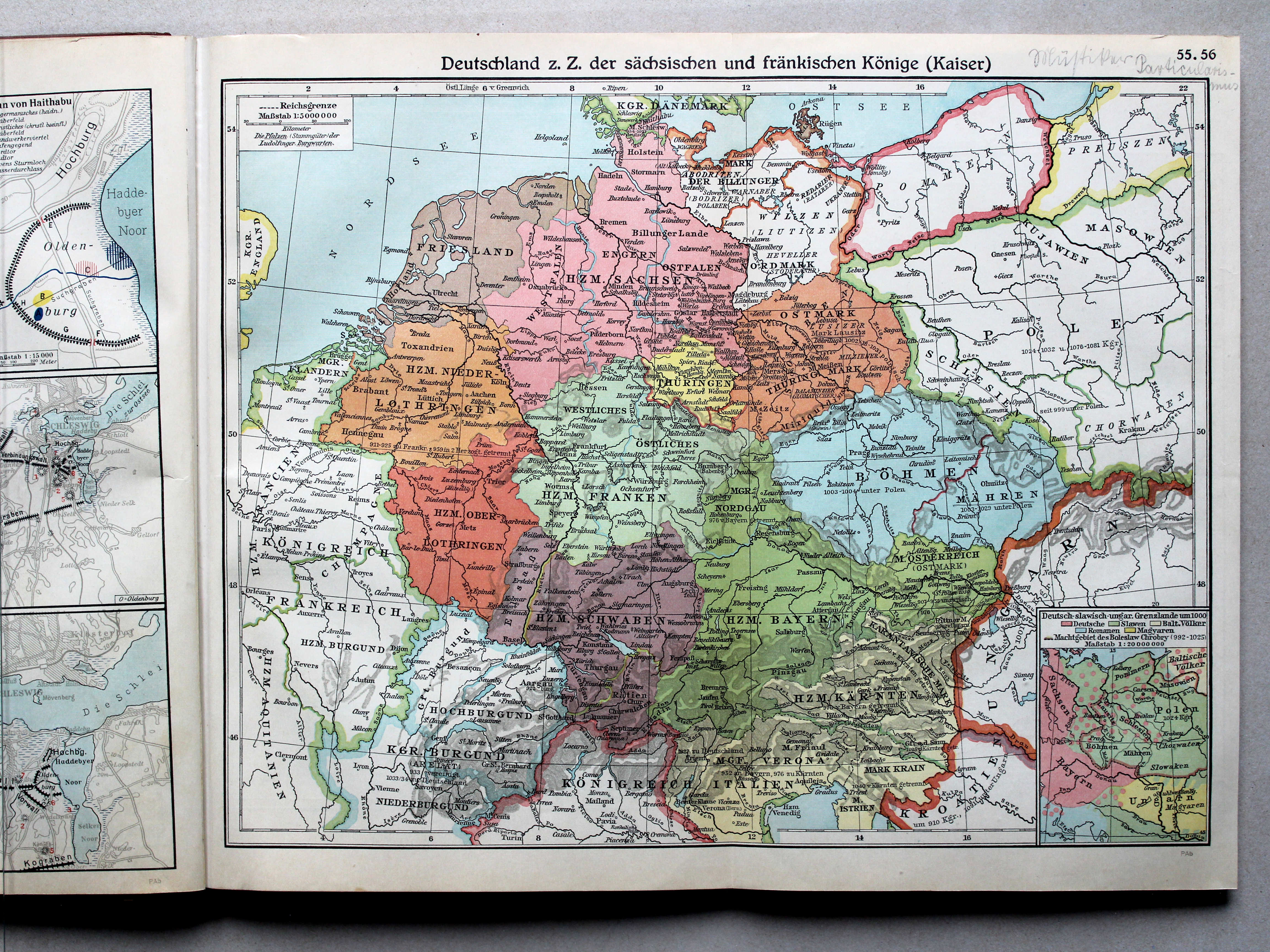
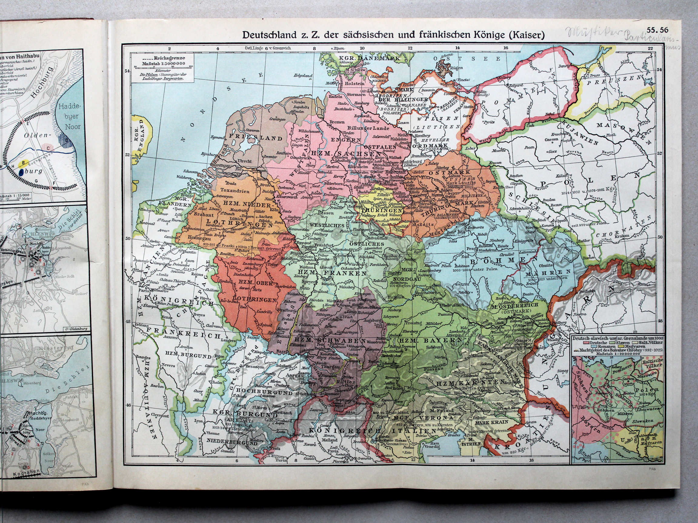 55.56. Deutschland z. Z. der sächsischen und fränkischen Könige (Kaiser)
XL
55.56. Deutschland z. Z. der sächsischen und fränkischen Könige (Kaiser)
XL
Duitsland in de tijd van de Saksische en Frankische koningen (keizers) / Germany during the Saxon and Frankish dynasties
 Putzgers Historischer Schul-Atlas, Große Ausgabe, 1931/33
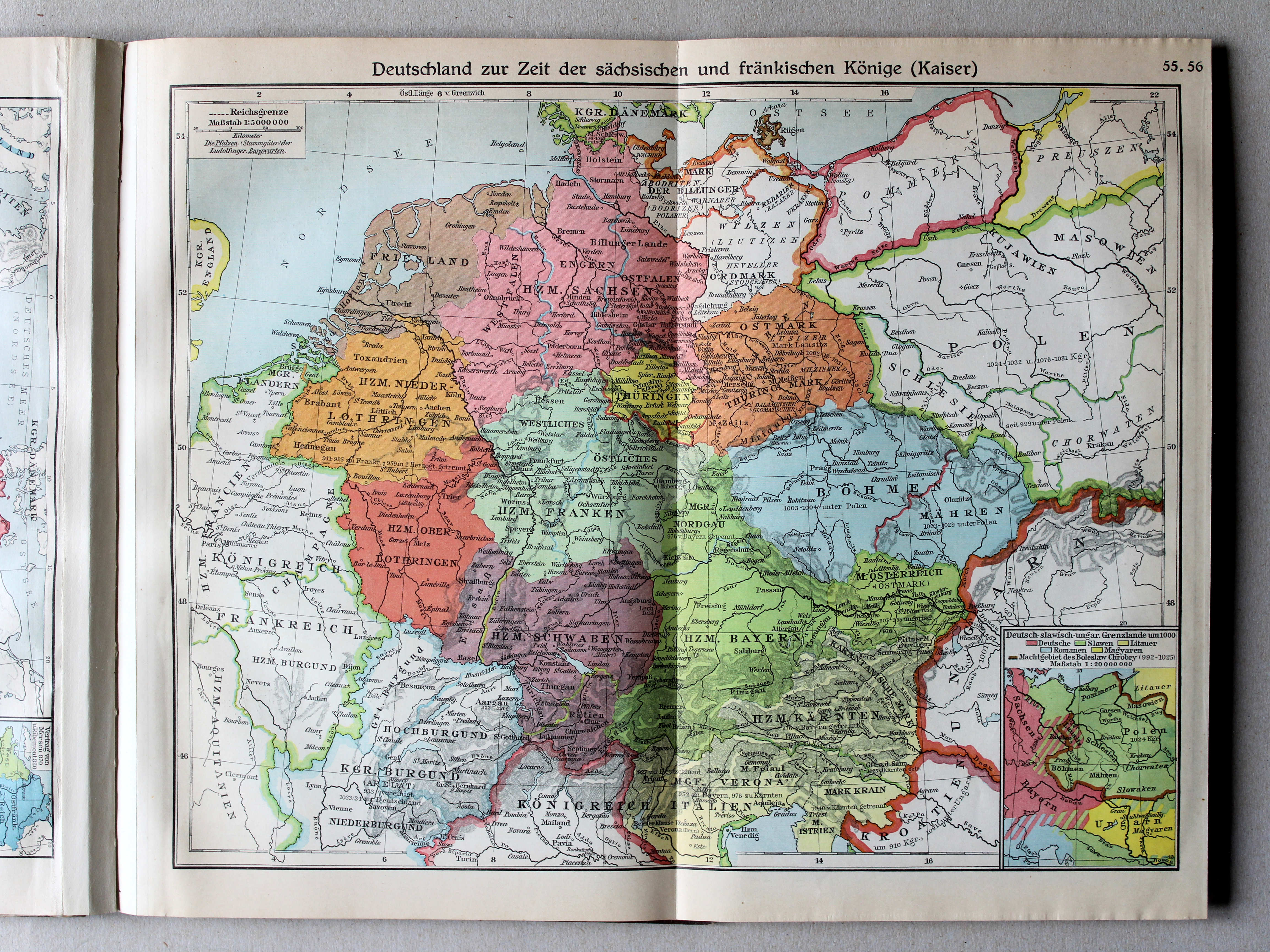
55.56. Deutschland zur Zeit der sächsischen und fränkischen Könige (Kaiser) XL
Duitsland in de tijd van de Saksische en Frankische keizers / Germany during the Saxon and Frankish dynasties
 Putzgers Historischer Schul-Atlas, Große Ausgabe, 1934
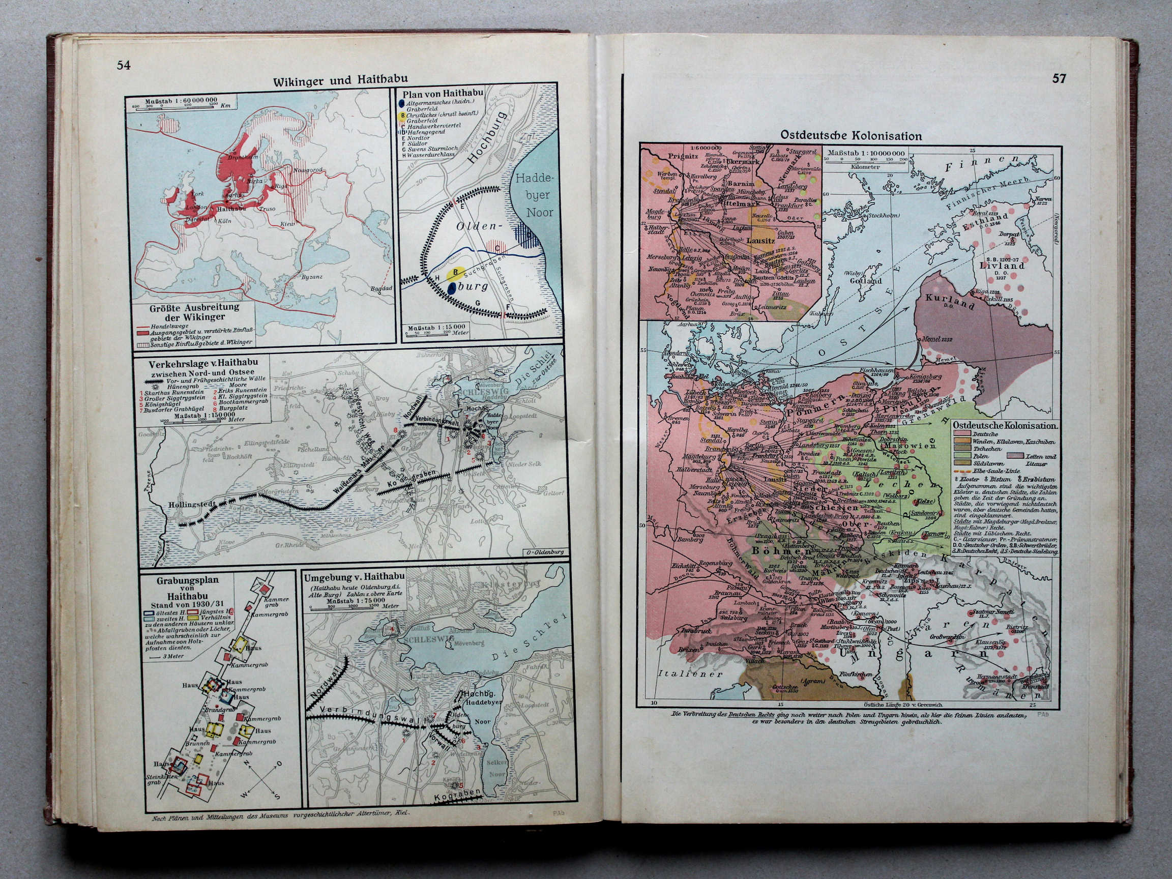
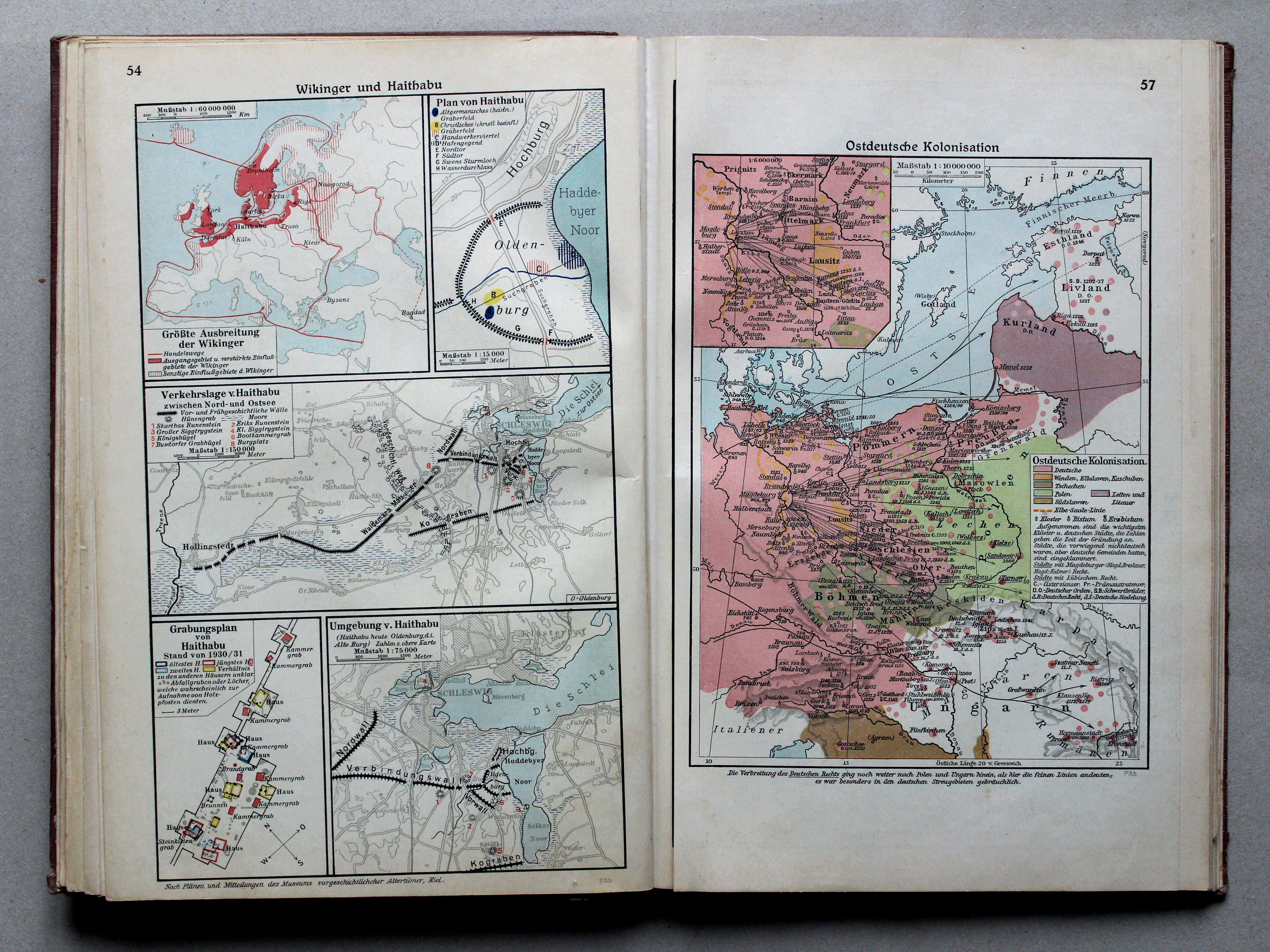
57. Ostdeutsche Kolonisation XL
Duitse kolonisatie naar het oosten / German colonization towards the east
 Putzgers Historischer Schul-Atlas, Große Ausgabe, 1931/33
57. Ostdeutsche Kolonisation XL
Duitse kolonisatie naar het oosten / German colonization towards the east
 Putzgers Historischer Schul-Atlas, Große Ausgabe, 1934
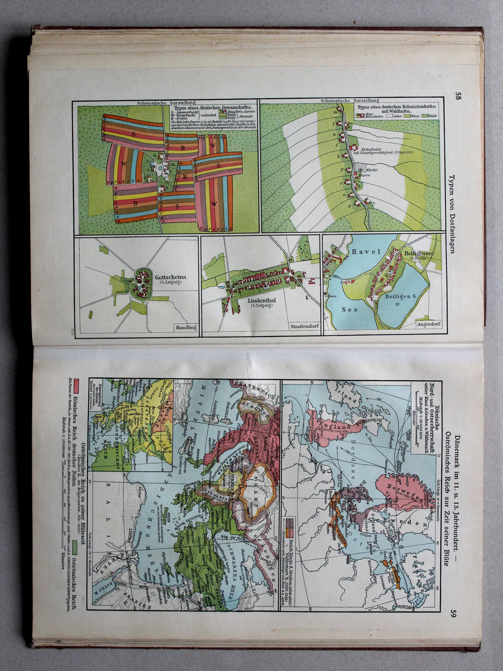
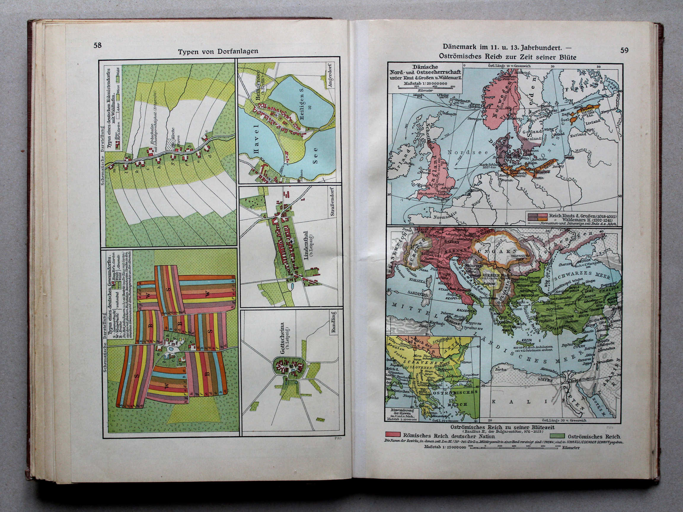
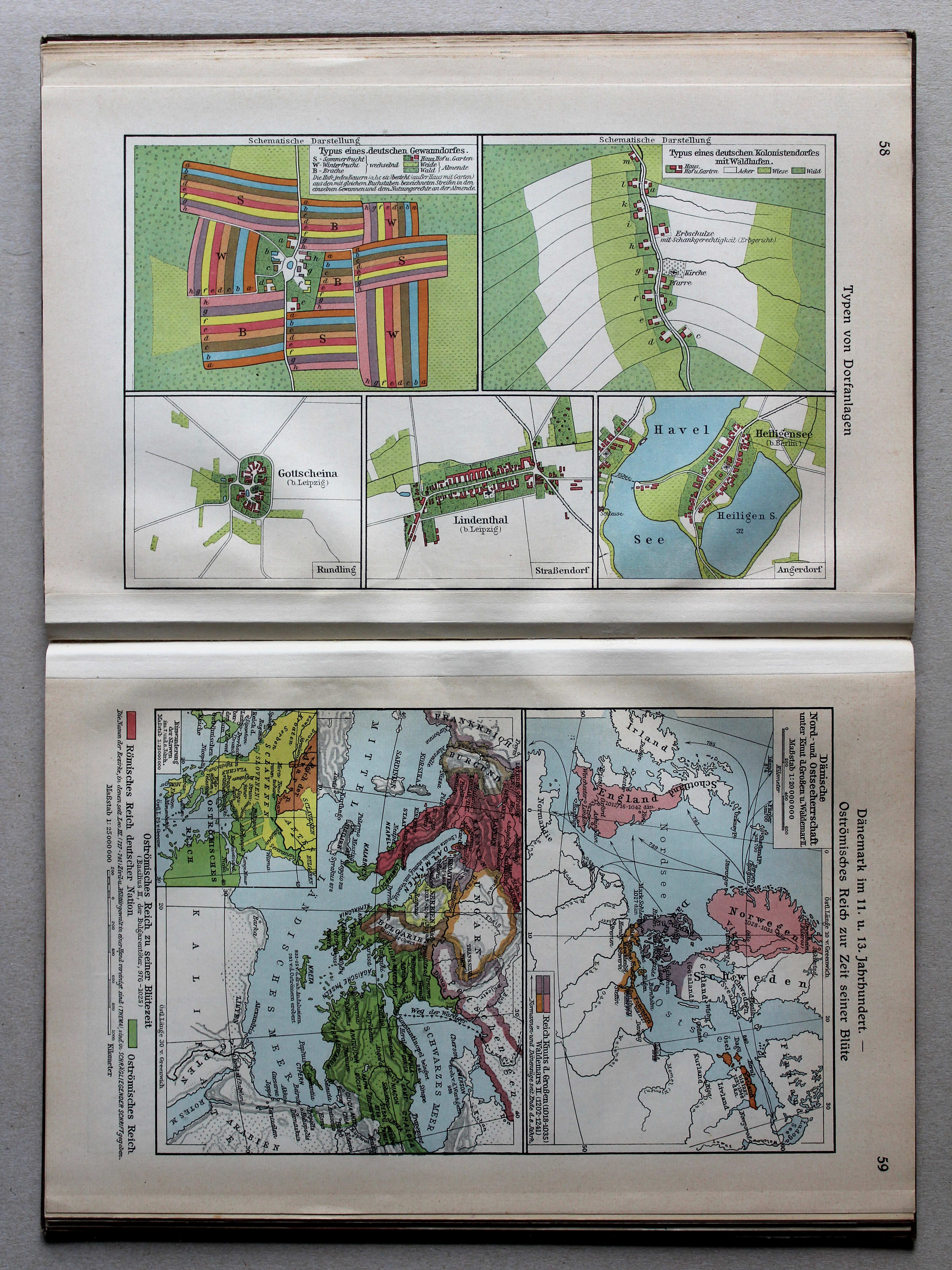
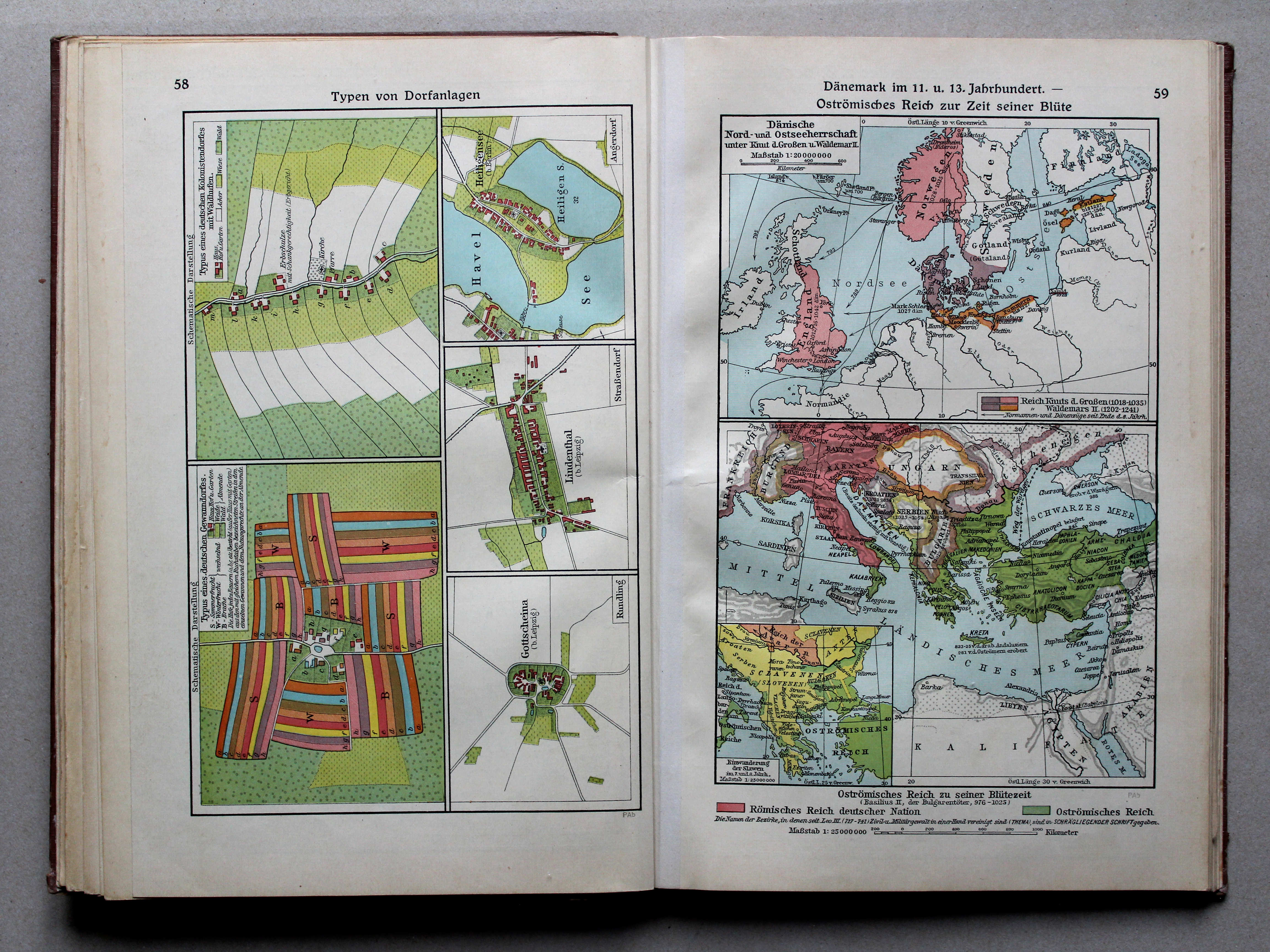
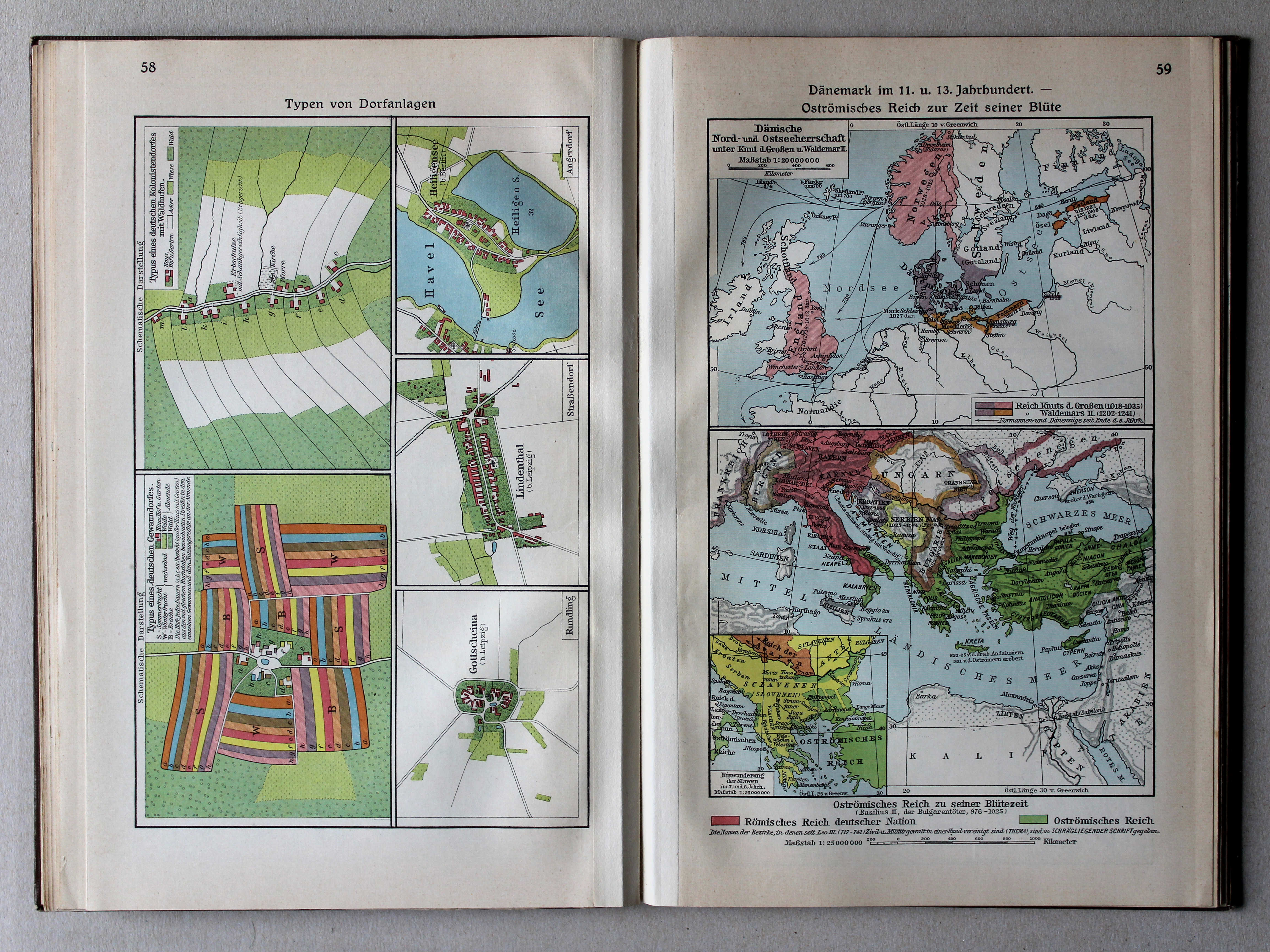
58. Typen von Dorfanlagen XL
Enkele dorpstypen / Some village types
 Putzgers Historischer Schul-Atlas, Große Ausgabe, 1931/33
58. Typen von Dorfanlagen XL
Enkele dorpstypen / Some village types
 Putzgers Historischer Schul-Atlas, Große Ausgabe, 1934
59. Dänemark im 11. und 13. Jahrhundert – Oströmisches Reich zur Zeit seiner Blüte XL
Denemarken in de 11e en 13e eeuw. Bloei van het Oost-Romeinse Rijk / Denmark in the 11th and 13th centuries. Prosperity of the Eastern Roman Empire
 Putzgers Historischer Schul-Atlas, Große Ausgabe, 1931/33
59. Dänemark im 11. und 13. Jahrhundert – Oströmisches Reich zur Zeit seiner Blüte XL
Denemarken in de 11e en 13e eeuw. Bloei van het Oost-Romeinse Rijk / Denmark in the 11th and 13th centuries. Prosperity of the Eastern Roman Empire
 Putzgers Historischer Schul-Atlas, Große Ausgabe, 1934
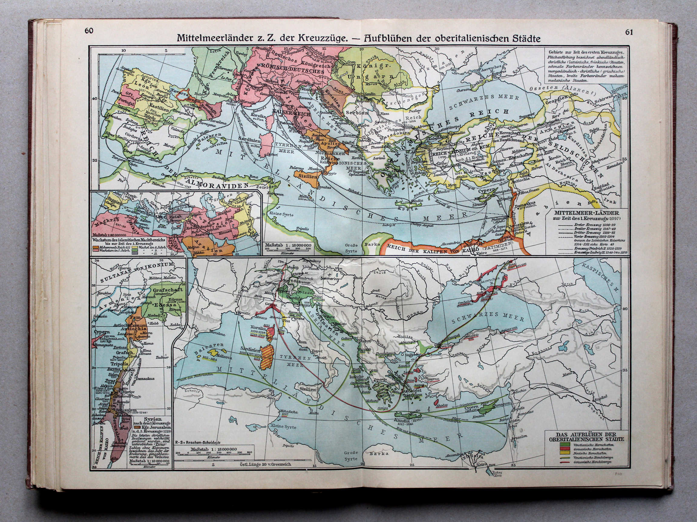
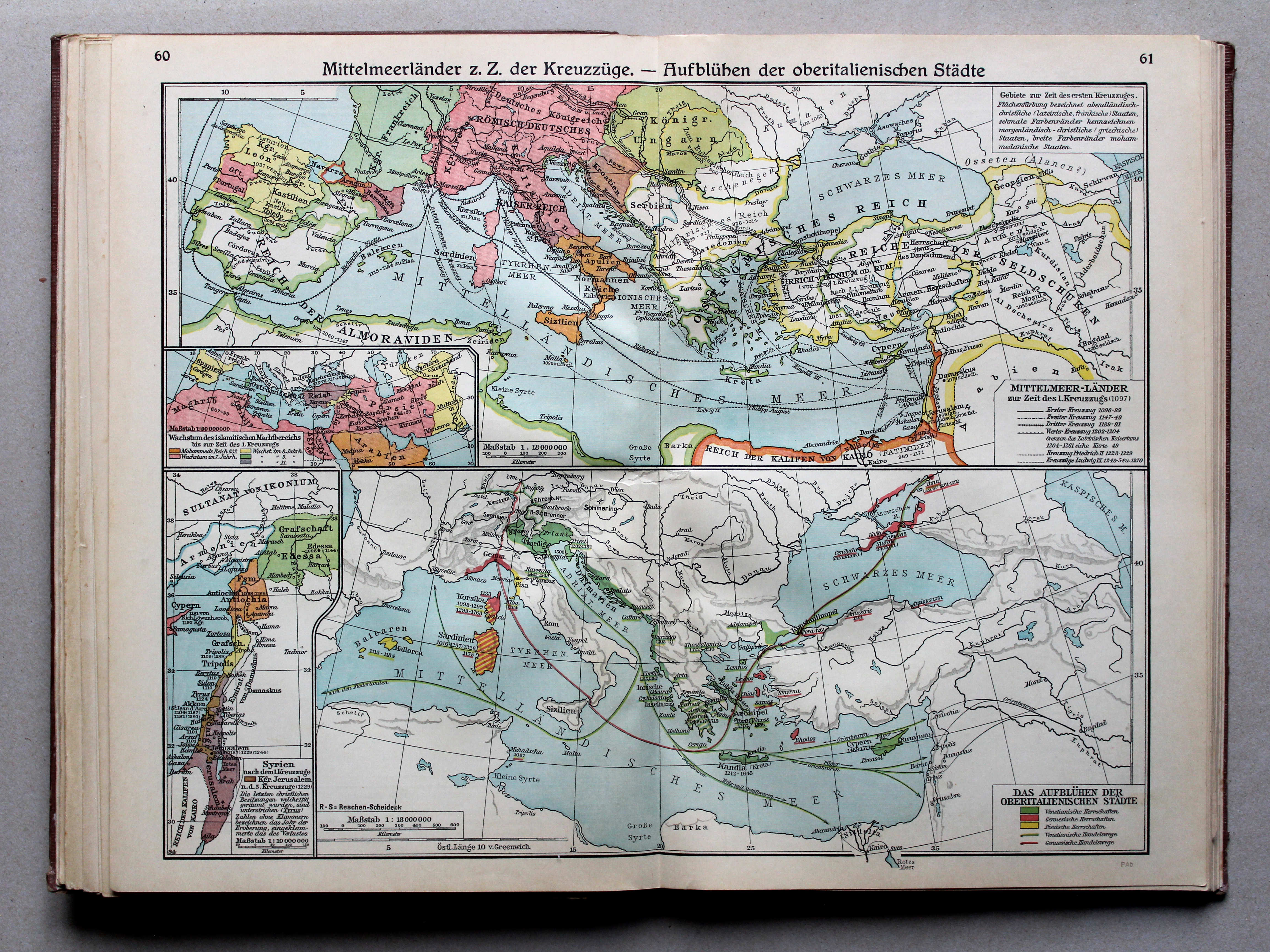
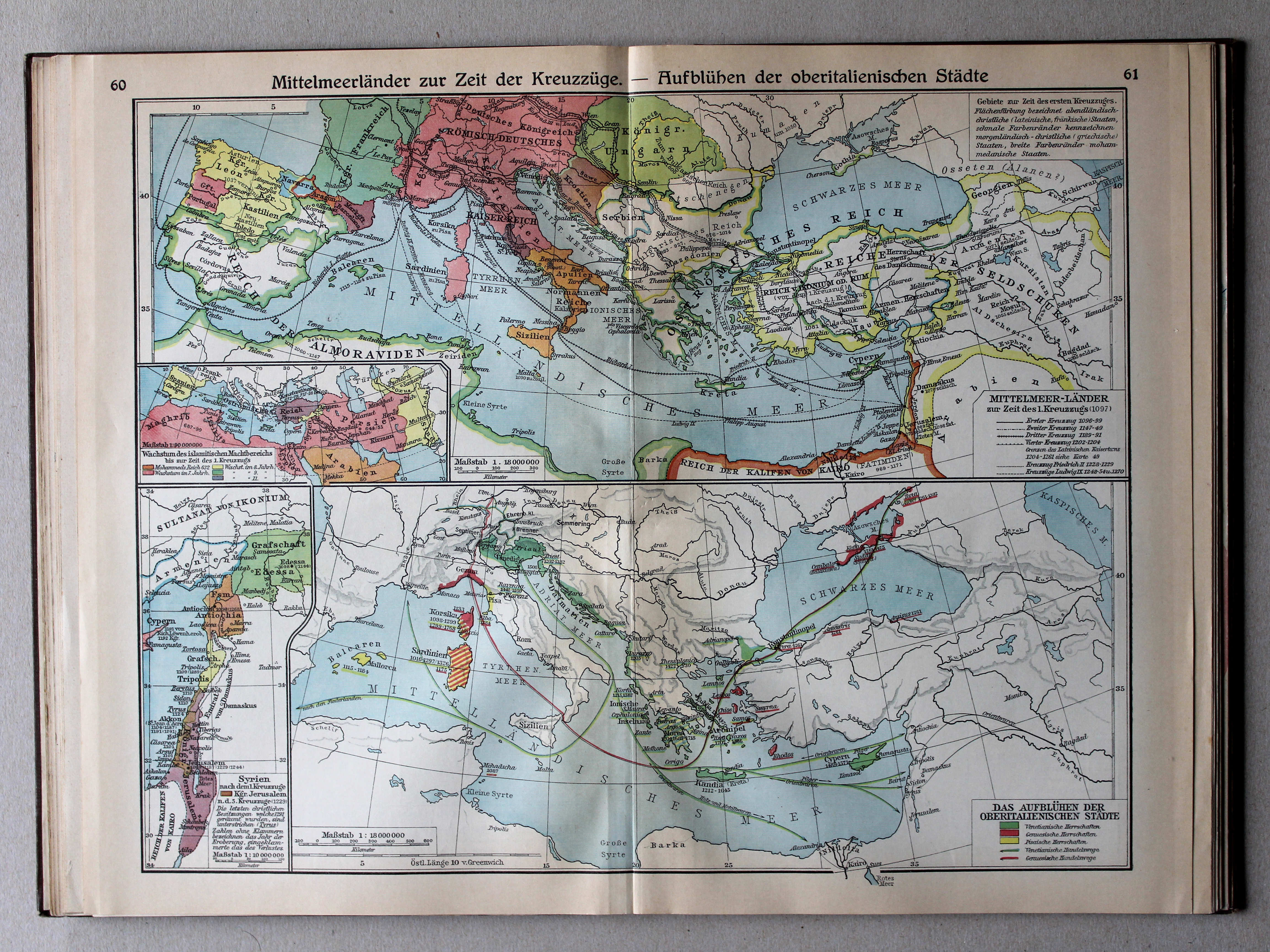
60.61. Mittelmeerländer z. Z. der Kreuzzüge – Aufblühen der oberitalienischen Städte XL
Het Middellandse Zeegebied in de tijd van de Kruistochten. Bloei van de Noord-Italiaanse steden / The Mediterranean region during the Crusades. Prosperity of the North Italian cities
 Putzgers Historischer Schul-Atlas, Große Ausgabe, 1931/33
60.61. Mittelmeerländer zur Zeit der Kreuzzüge – Aufblühen der oberitalienischen Städte XL
Het Middellandse Zeegebied in de tijd van de Kruistochten. Bloei van de Noord-Italiaanse steden / The Mediterranean region during the Crusades. Prosperity of the North Italian cities
 Putzgers Historischer Schul-Atlas, Große Ausgabe, 1934
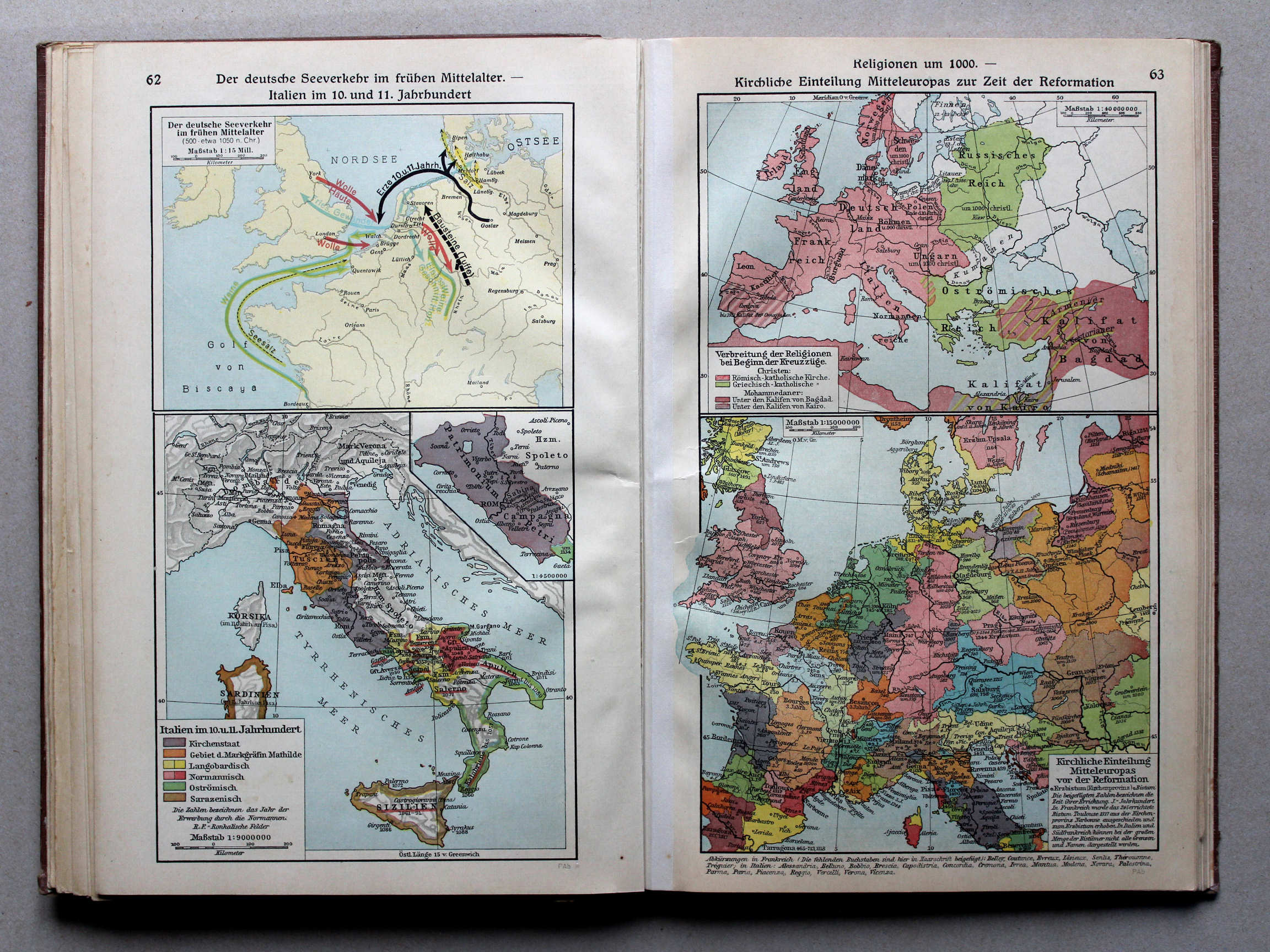
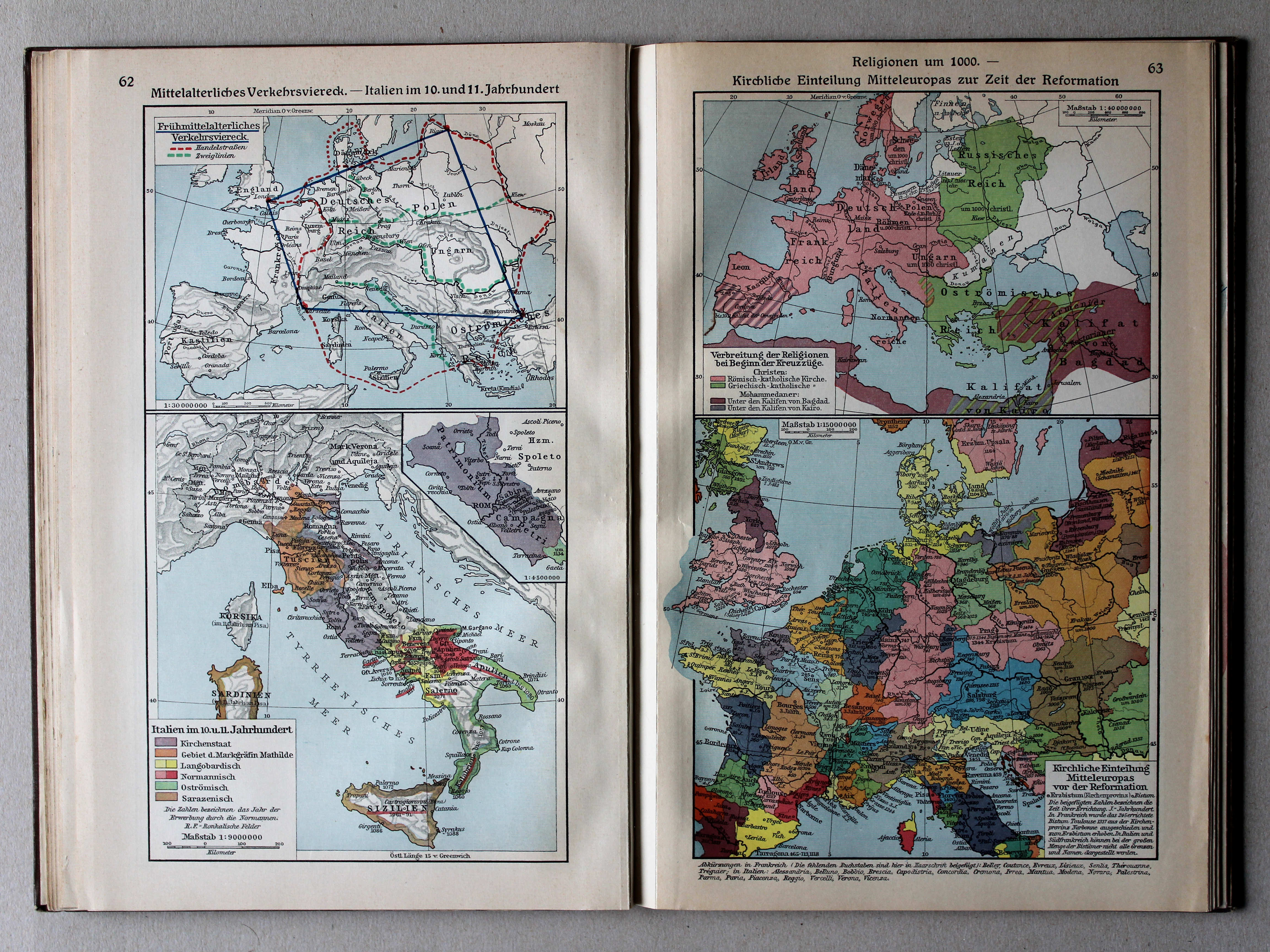
62. Der deutsche Seeverkehr im frühen Mittelalter – Italien im 10. und 11. Jahrhundert XL
Duitse zeevaart in de vroege Middeleeuwen. Italië in de 10e en 11e eeuw / German maritime traffic in the early Middle Ages. Italy in the 10th and 11th centuries
63. Religionen um 1000 – Kirchliche Einteilung Mitteleuropas zur Zeit der Reformation XL
Godsdiensten rond 1000. Hiërarchie van de Katholieke Kerk tijdens (voor) de Reformatie / Religions around 1000. Hierarchy of the Catholic Church during (before) the Protestant Reformation
 Putzgers Historischer Schul-Atlas, Große Ausgabe, 1931/33
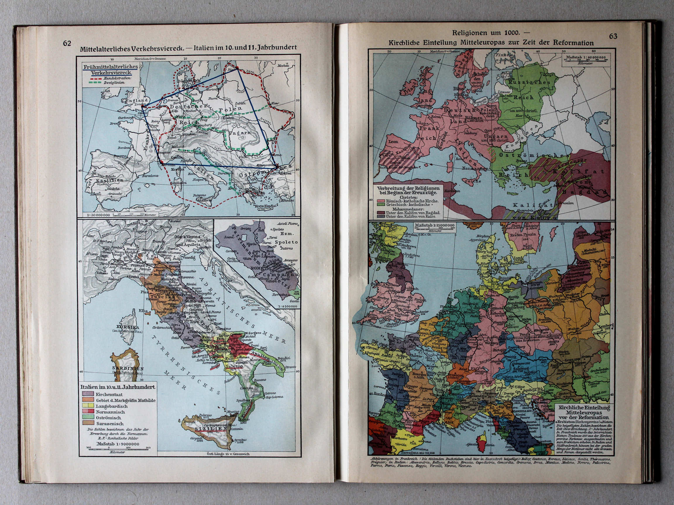
62. Mittelalterliches Verkehrsviereck – Italien im 10. und 11. Jahrhundert XL
Middeleeuwse verkeersvierhoek. Italië in de 10e en 11e eeuw / Medieval traffic quadrangle. Italy in the 10th and 11th centuries
63. Religionen um 1000 – Kirchliche Einteilung Mitteleuropas zur Zeit der Reformation XL
Godsdiensten rond 1000. Hiërarchie van de Katholieke Kerk tijdens (voor) de Reformatie / Religions around 1000. Hierarchy of the Catholic Church during (before) the Protestant Reformation
 Putzgers Historischer Schul-Atlas, Große Ausgabe, 1934
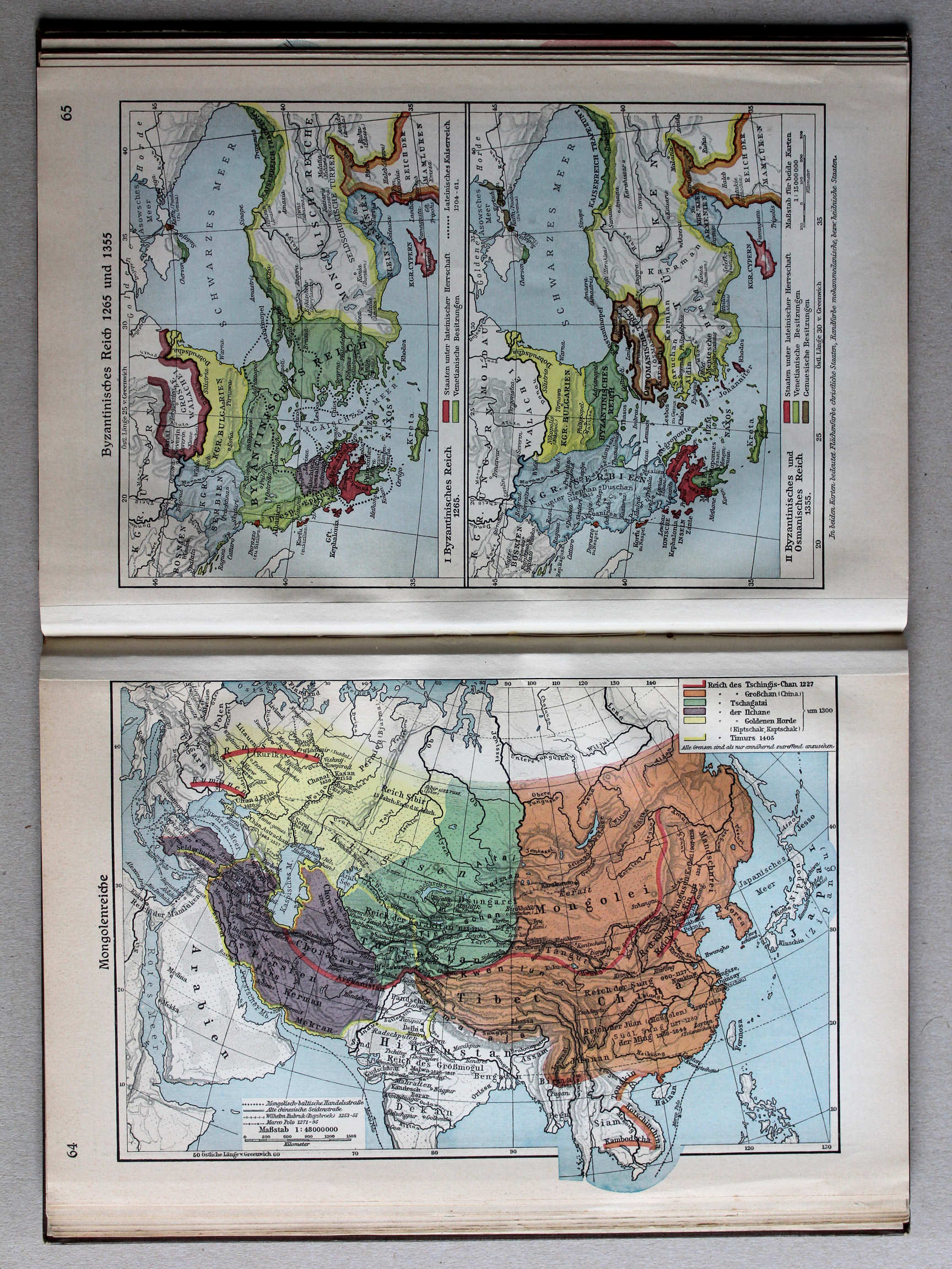
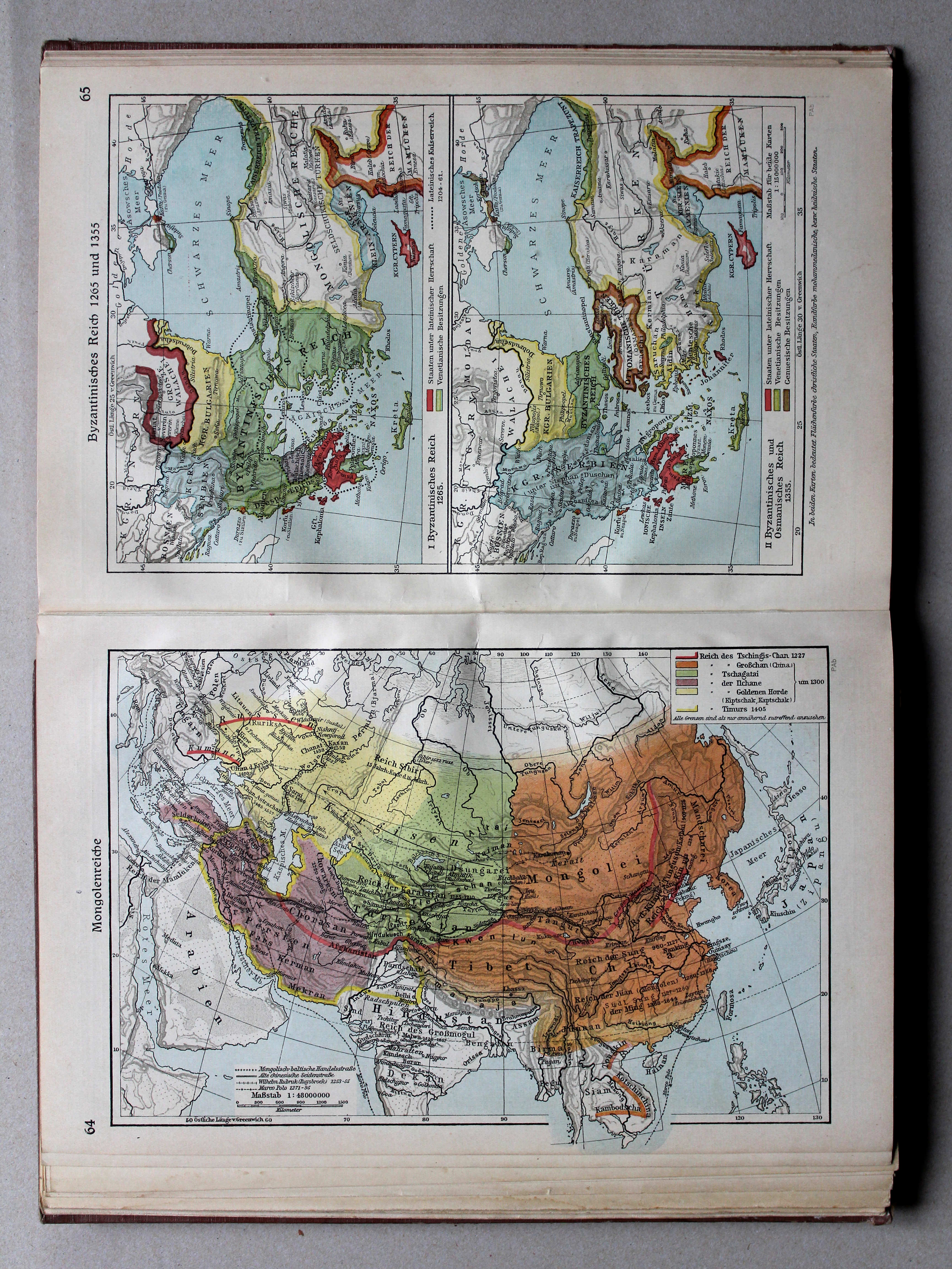
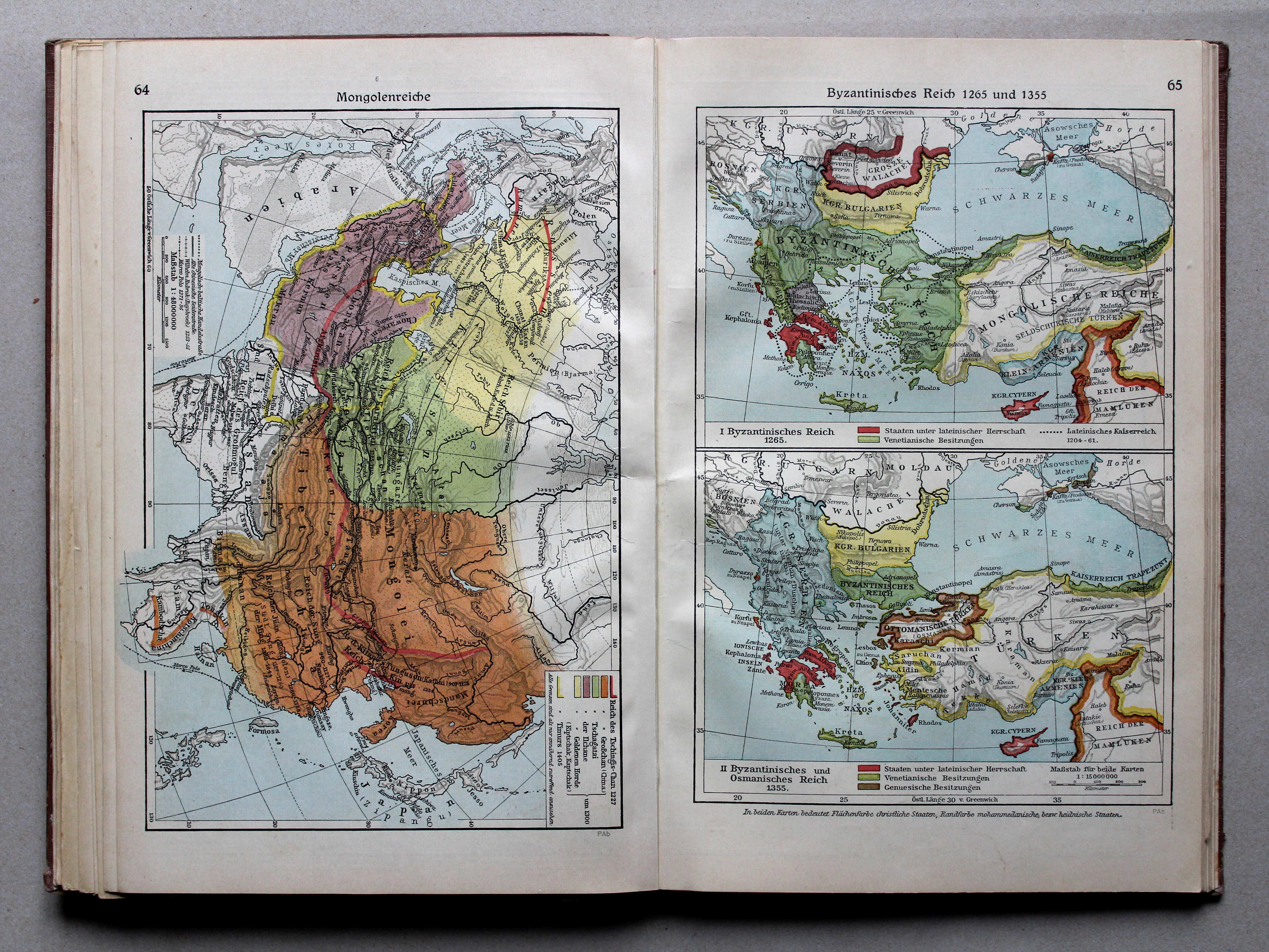
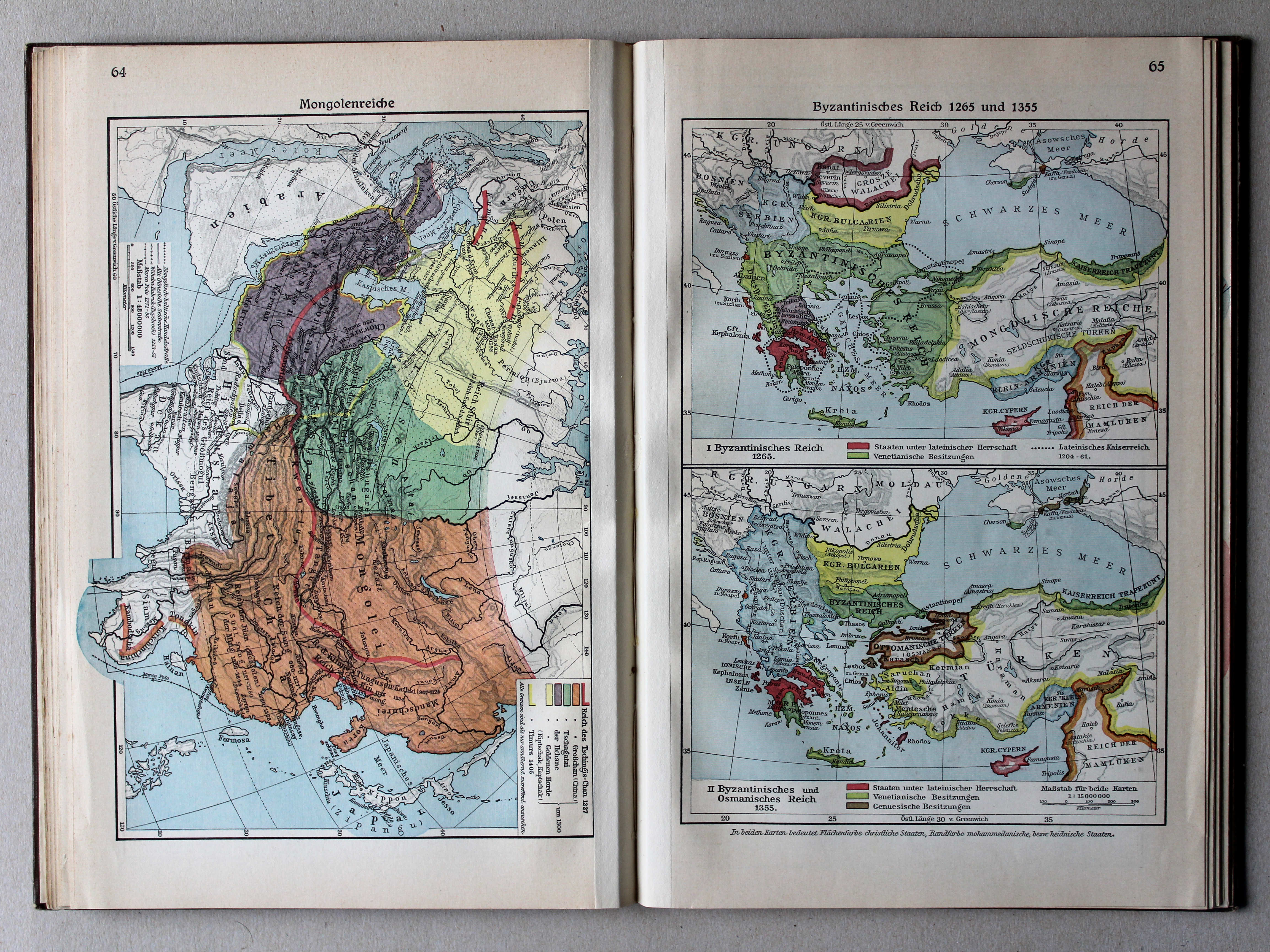
64. Mongolenreiche XL
Mongoolse rijken / Mongol empires
 Putzgers Historischer Schul-Atlas, Große Ausgabe, 1931/33
64. Mongolenreiche XL
Mongoolse rijken / Mongol empires
 Putzgers Historischer Schul-Atlas, Große Ausgabe, 1934
65. Byzantinisches Reich 1265 und 1355 XL
Het Byzantijnse Rijk in 1265 en 1355 / The Byzantine Empire in 1265 and 1355
 Putzgers Historischer Schul-Atlas, Große Ausgabe, 1931/33
65. Byzantinisches Reich 1265 und 1355 XL
Het Byzantijnse Rijk in 1265 en 1355 / The Byzantine Empire in 1265 and 1355
 Putzgers Historischer Schul-Atlas, Große Ausgabe, 1934
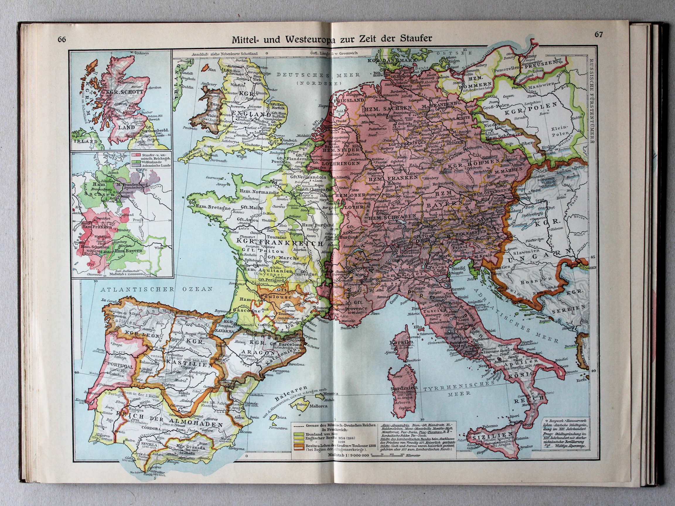
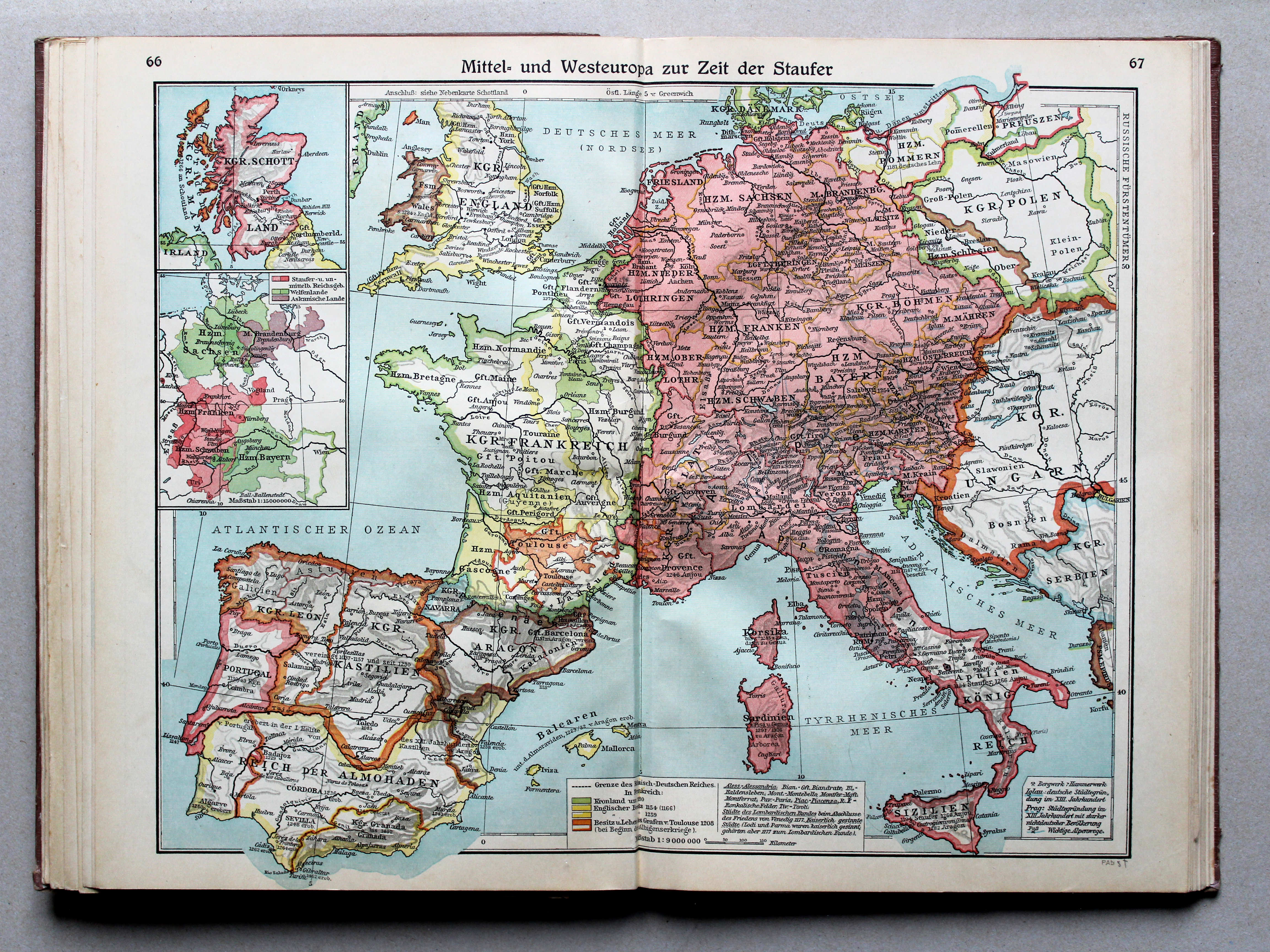
66.67. Mittel- und Westeuropa zur Zeit der Staufer XL
Midden- en West-Europa in de tijd van de Hohenstaufen / Central and Western Europe during the House of Hohenstaufen
 Putzgers Historischer Schul-Atlas, Große Ausgabe, 1931/33
66.67. Mittel- und Westeuropa zur Zeit der Staufer XL
Midden- en West-Europa in de tijd van de Hohenstaufen / Central and Western Europe during the House of Hohenstaufen
 Putzgers Historischer Schul-Atlas, Große Ausgabe, 1934
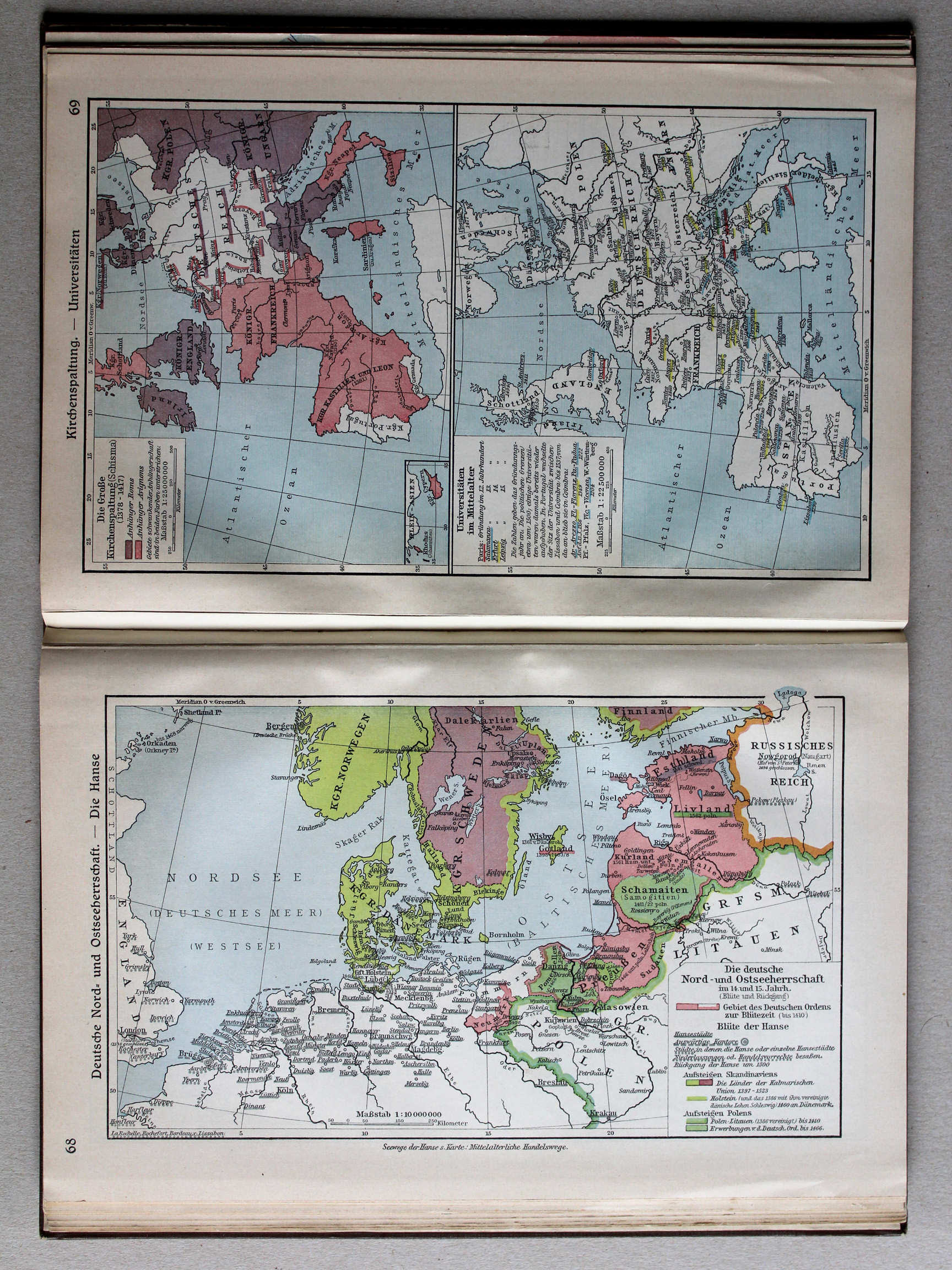
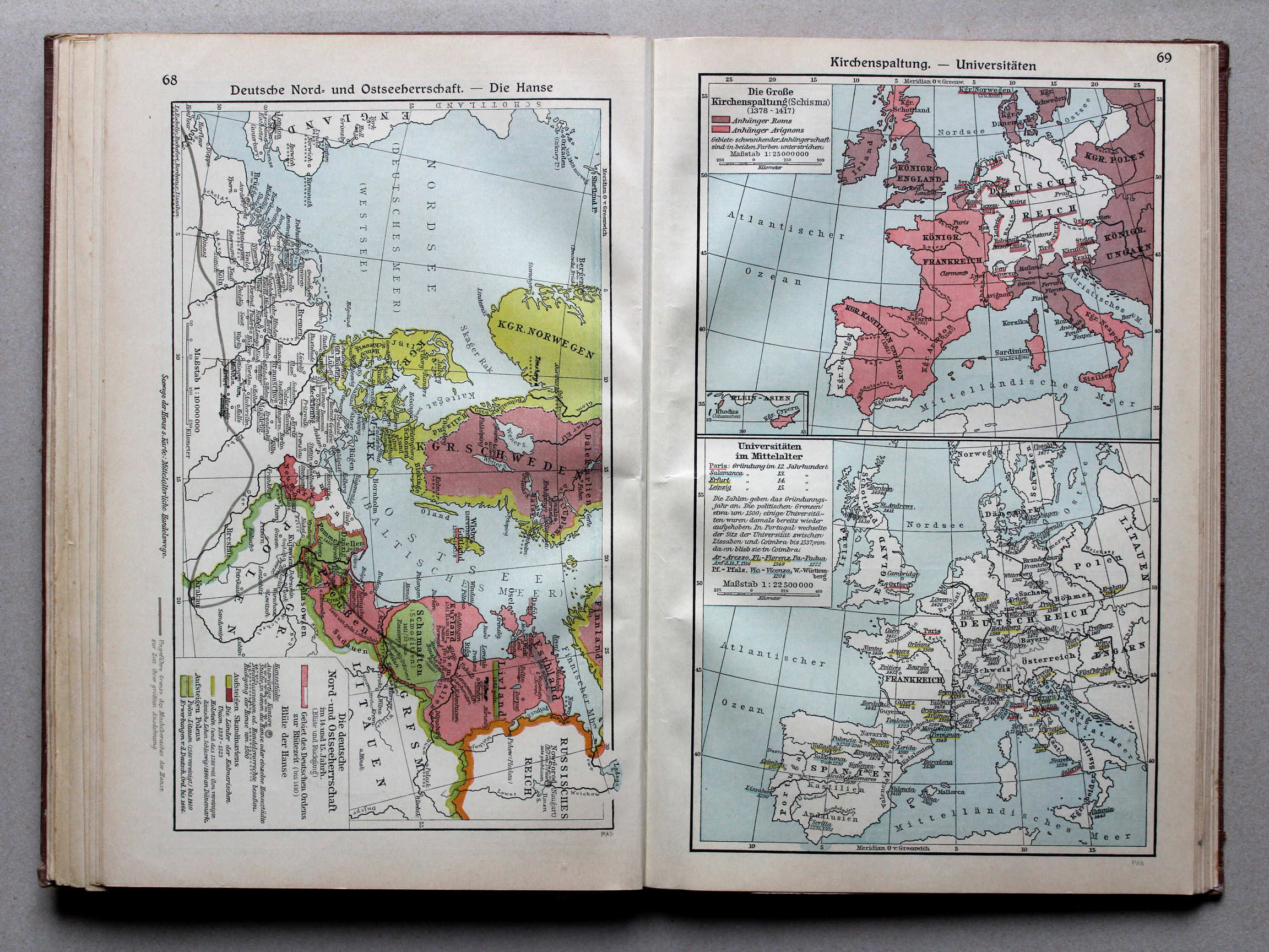
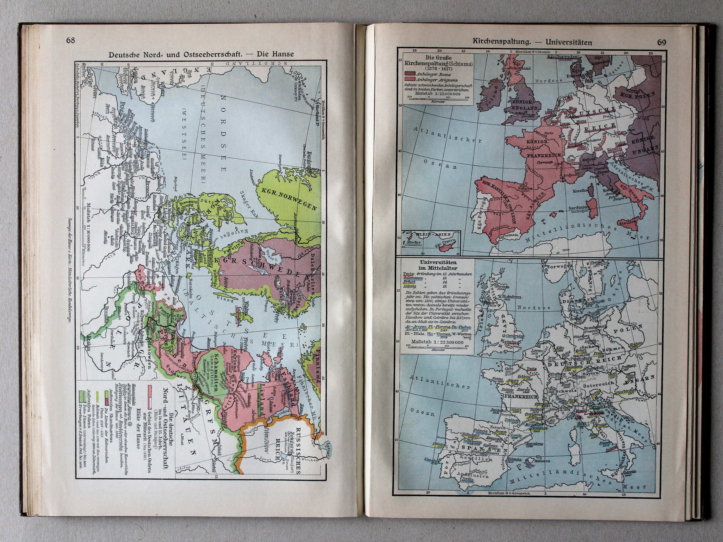
68. Deutsche Nord- und Ostseeherrschaft – Die Hanse XL
Duitse heerschappij rond de Noord- en Oostzee. De Hanze / German rule in the North Sea and Baltic region. The Hanseatic League
 Putzgers Historischer Schul-Atlas, Große Ausgabe, 1931/33
68. Deutsche Nord- und Ostseeherrschaft – Die Hanse XL
Duitse heerschappij rond de Noord- en Oostzee. De Hanze / German rule in the North Sea and Baltic region. The Hanseatic League
 Putzgers Historischer Schul-Atlas, Große Ausgabe, 1934
69. Kirchenspaltung – Universitäten XL
Westers Schisma. Universiteiten / Western Schism. Universities
 Putzgers Historischer Schul-Atlas, Große Ausgabe, 1931/33
69. Kirchenspaltung – Universitäten XL
Westers Schisma. Universiteiten / Western Schism. Universities
 Putzgers Historischer Schul-Atlas, Große Ausgabe, 1934
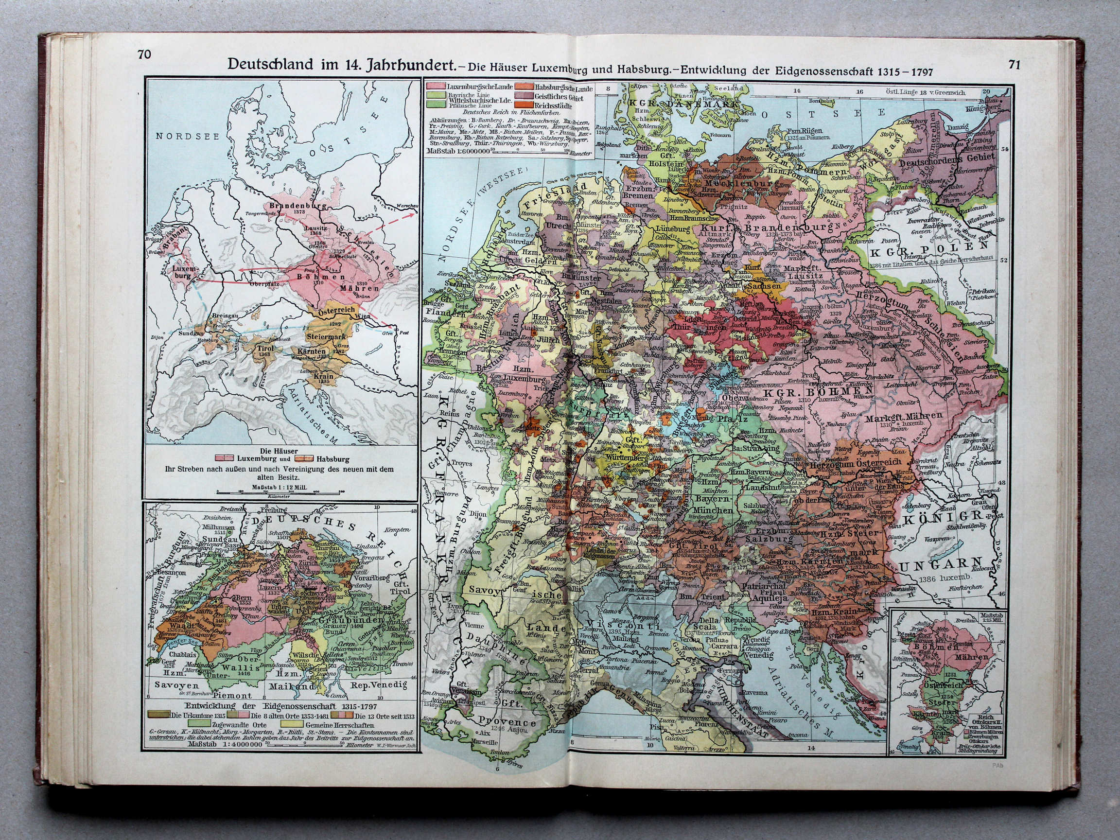
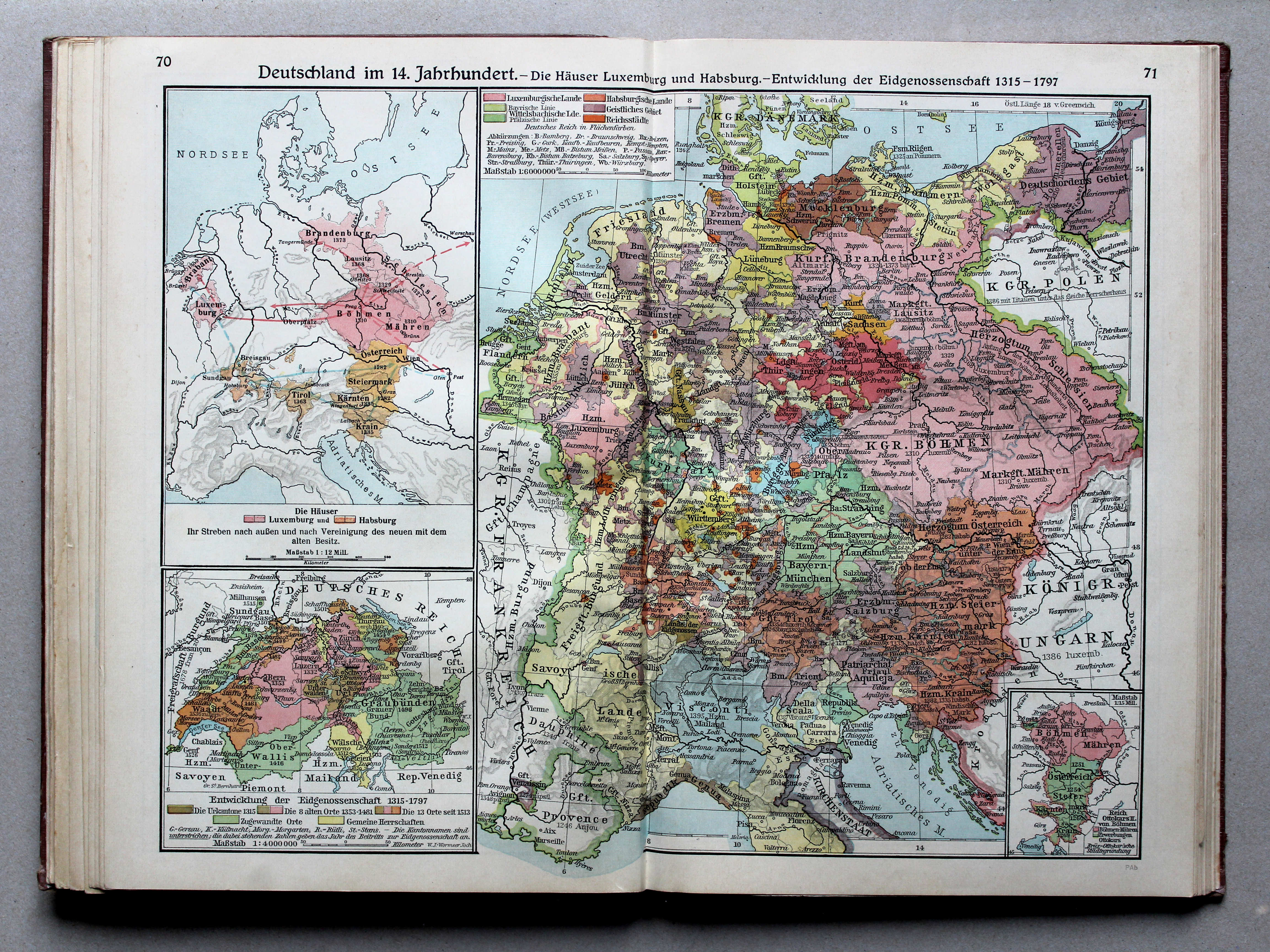
70.71. Deutschland im 14. Jahrhundert – Die Häuser Luxemburg und Habsburg – Entwicklung der Eidgenossenschaft 1315-1797 XL
Duitsland in de 14e eeuw. Huis Luxemburg en Huis Habsburg. Ontwikkeling van het Zwitserse Eedgenootschap 1315-1797 / Germany in the 14th century. Houses of Luxemburg and Habsburg. Development of the Swiss Confederation 1315-1797
 Putzgers Historischer Schul-Atlas, Große Ausgabe, 1931/33
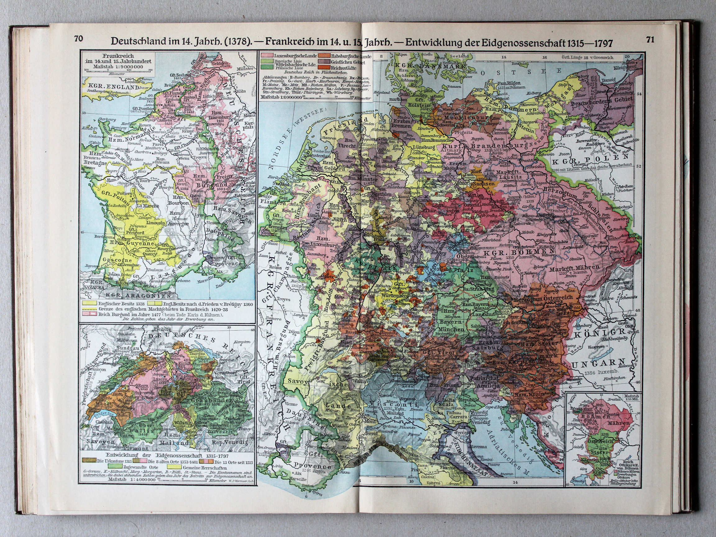
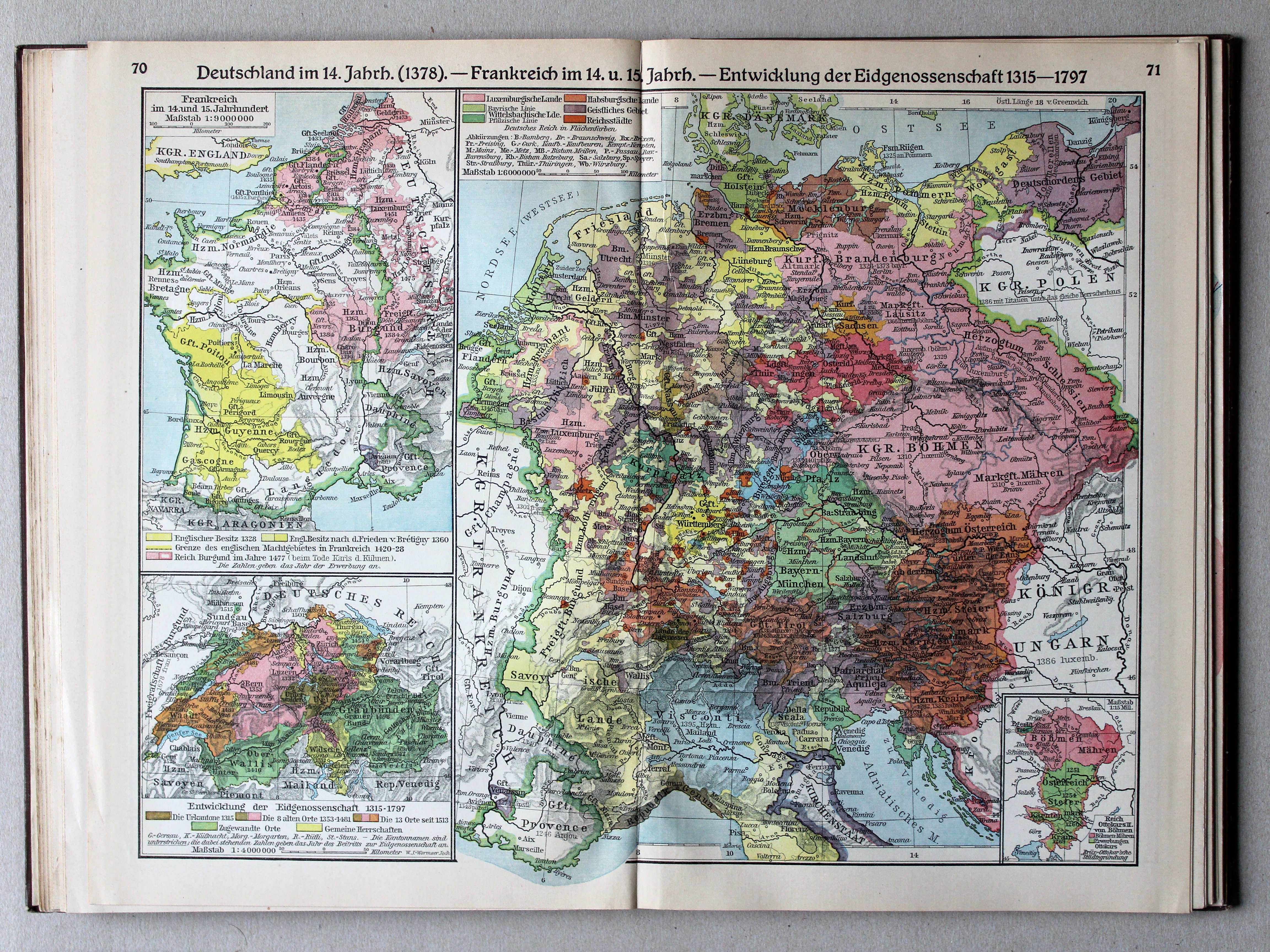
70.71. Deutschland im 14. Jahrh. (1378) – Frankreich im 14. und 15. Jahrh. – Entwicklung der Eidgenossenschaft 1315-1797 XL
Duitsland in de 14e eeuw (1378). Frankrijk in de 14e en 15e eeuw. Ontwikkeling van het Zwitserse Eedgenootschap 1315-1797 / Germany in the 14th century (1378). France in the 14th and 15th centuries. Development of the Swiss Confederation 1315-1797
 Putzgers Historischer Schul-Atlas, Große Ausgabe, 1934
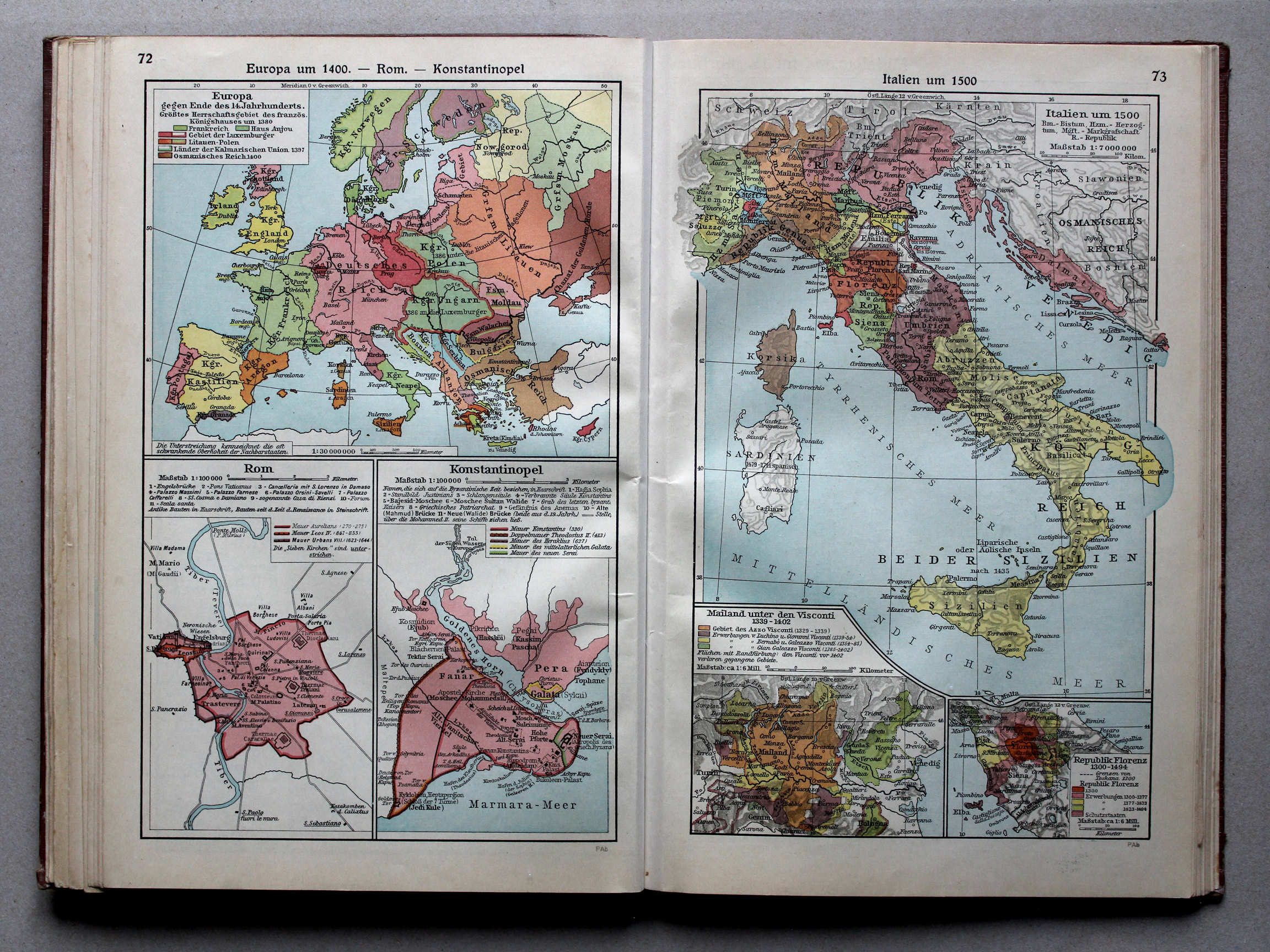
72. Europa um 1400 – Rom – Konstantinopel XL
Europa rond 1400. Rome. Constantinopel / Europe around 1400. Rome. Constantinople
73. Italien um 1500 XL
Italië rond 1500 / Italy around 1500
 Putzgers Historischer Schul-Atlas, Große Ausgabe, 1931/33
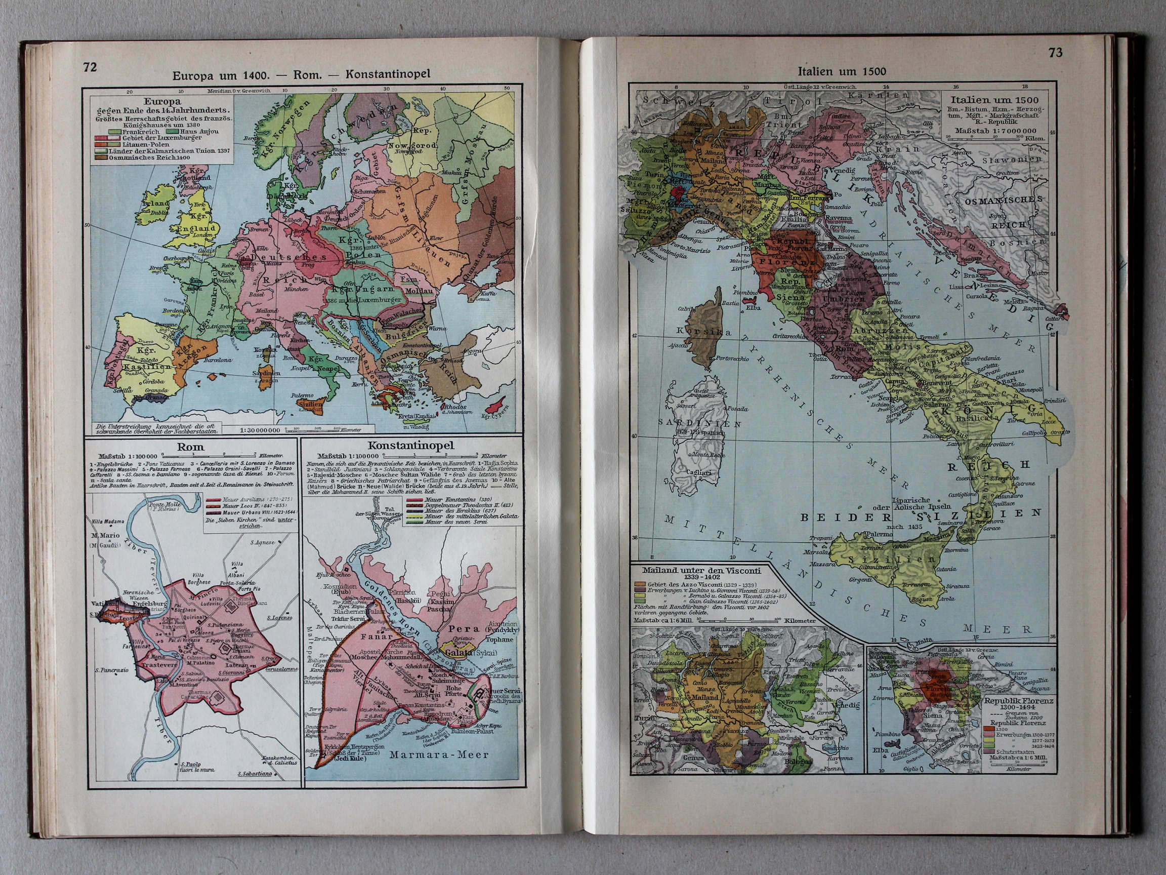
72. Europa um 1400 – Rom – Konstantinopel XL
Europa rond 1400. Rome. Constantinopel / Europe around 1400. Rome. Constantinople
73. Italien um 1500 XL
Italië rond 1500 / Italy around 1500
 Putzgers Historischer Schul-Atlas, Große Ausgabe, 1934
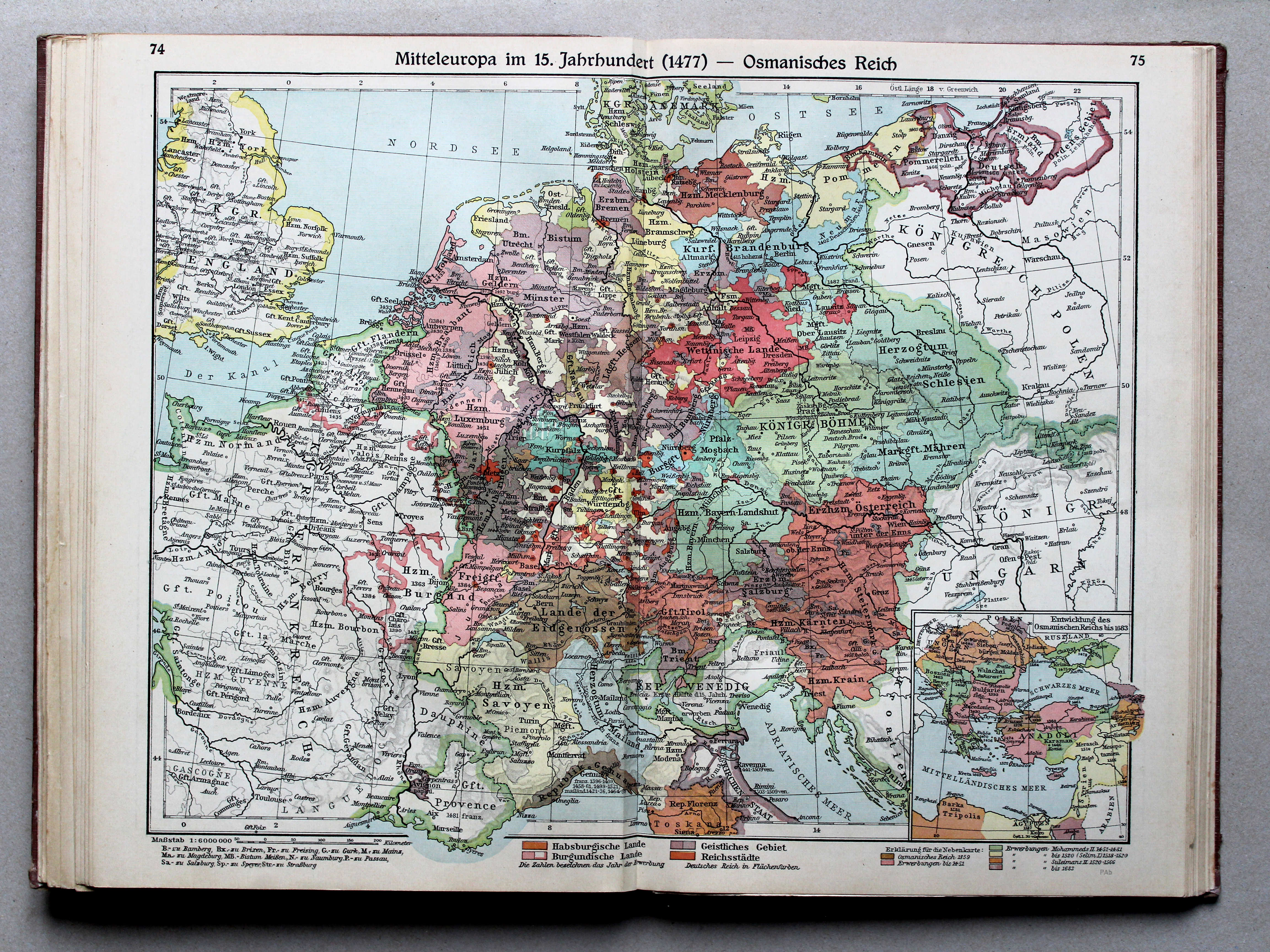
74.75. Mitteleuropa im 15. Jahrhundert (1477) – Osmanisches Reich XL
Midden-Europa in de 15e eeuw (1477). Het Ottomaanse Rijk / Central Europe in the 15th century (1477). The Ottoman Empire
 Putzgers Historischer Schul-Atlas, Große Ausgabe, 1931/33
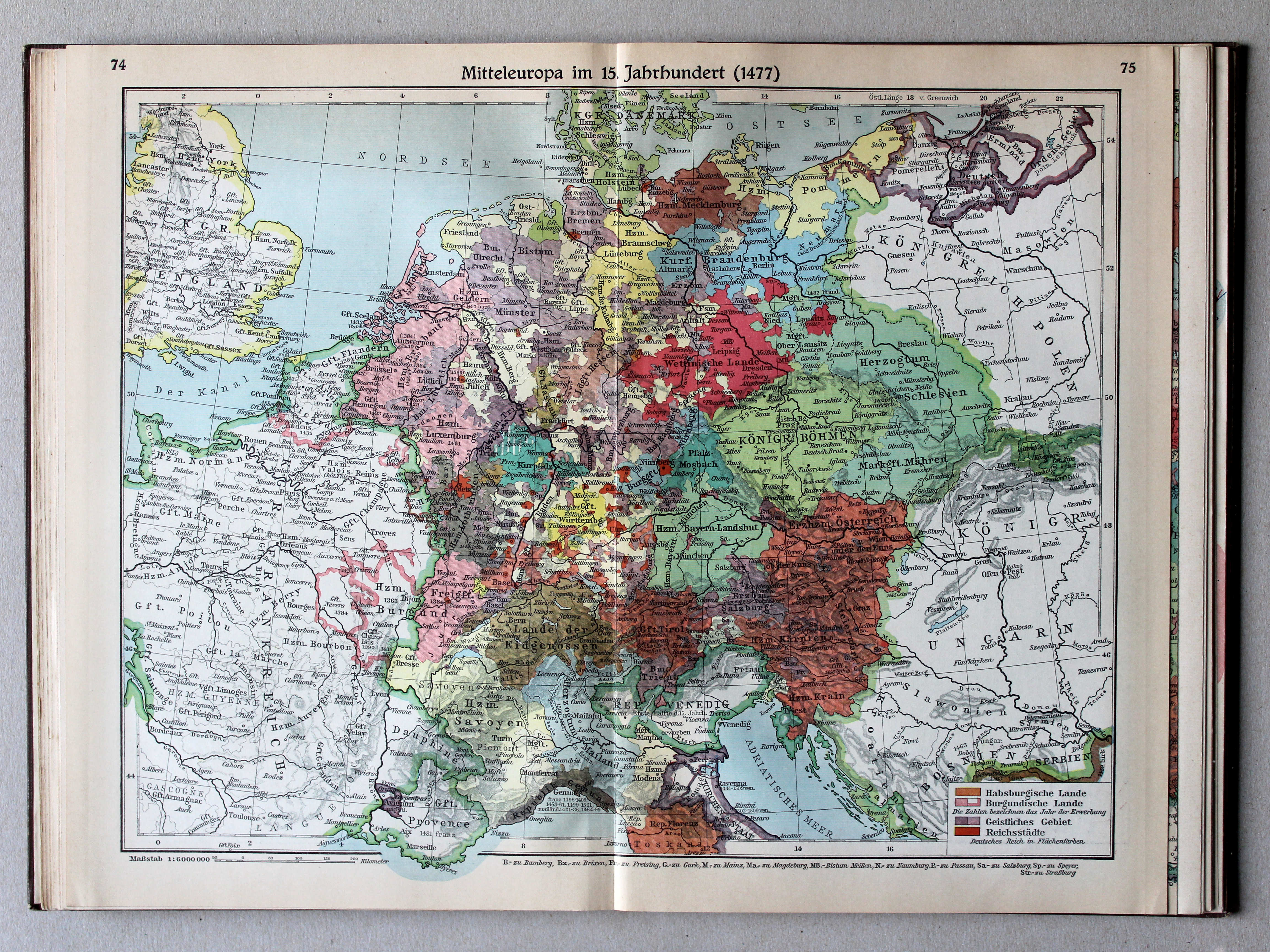
74.75. Mitteleuropa im 15. Jahrhundert (1477) XL
Midden-Europa in de 15e eeuw (1477) / Central Europe in the 15th century (1477)
Putzgers Historischer Schul-Atlas, Große Ausgabe, 1934
74.75. Mitteleuropa im 15. Jahrhundert (1477) – Osmanisches Reich XL
Midden-Europa in de 15e eeuw (1477). Het Ottomaanse Rijk / Central Europe in the 15th century (1477). The Ottoman Empire
 Putzgers Historischer Schul-Atlas, Große Ausgabe, 1931/33
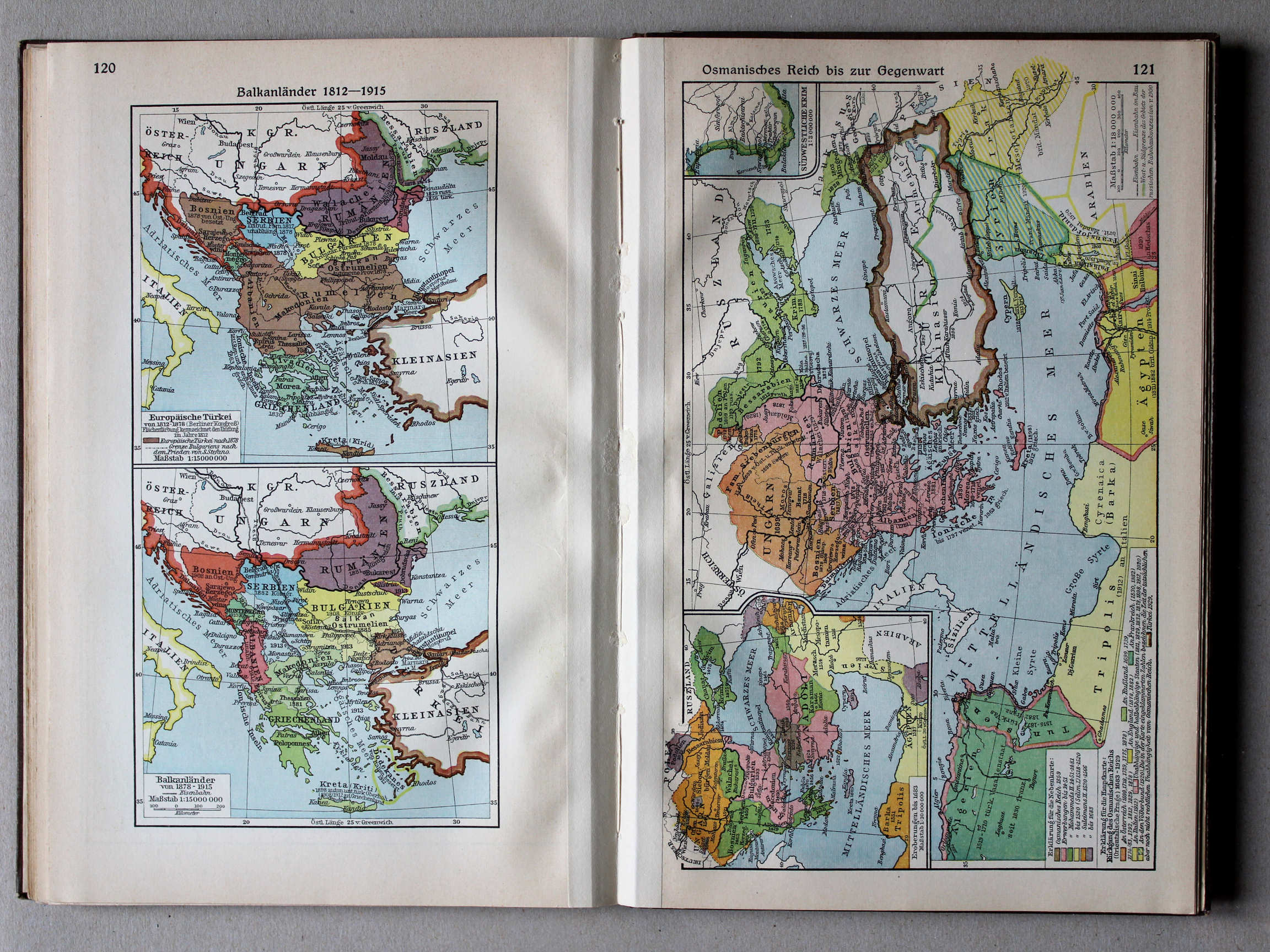
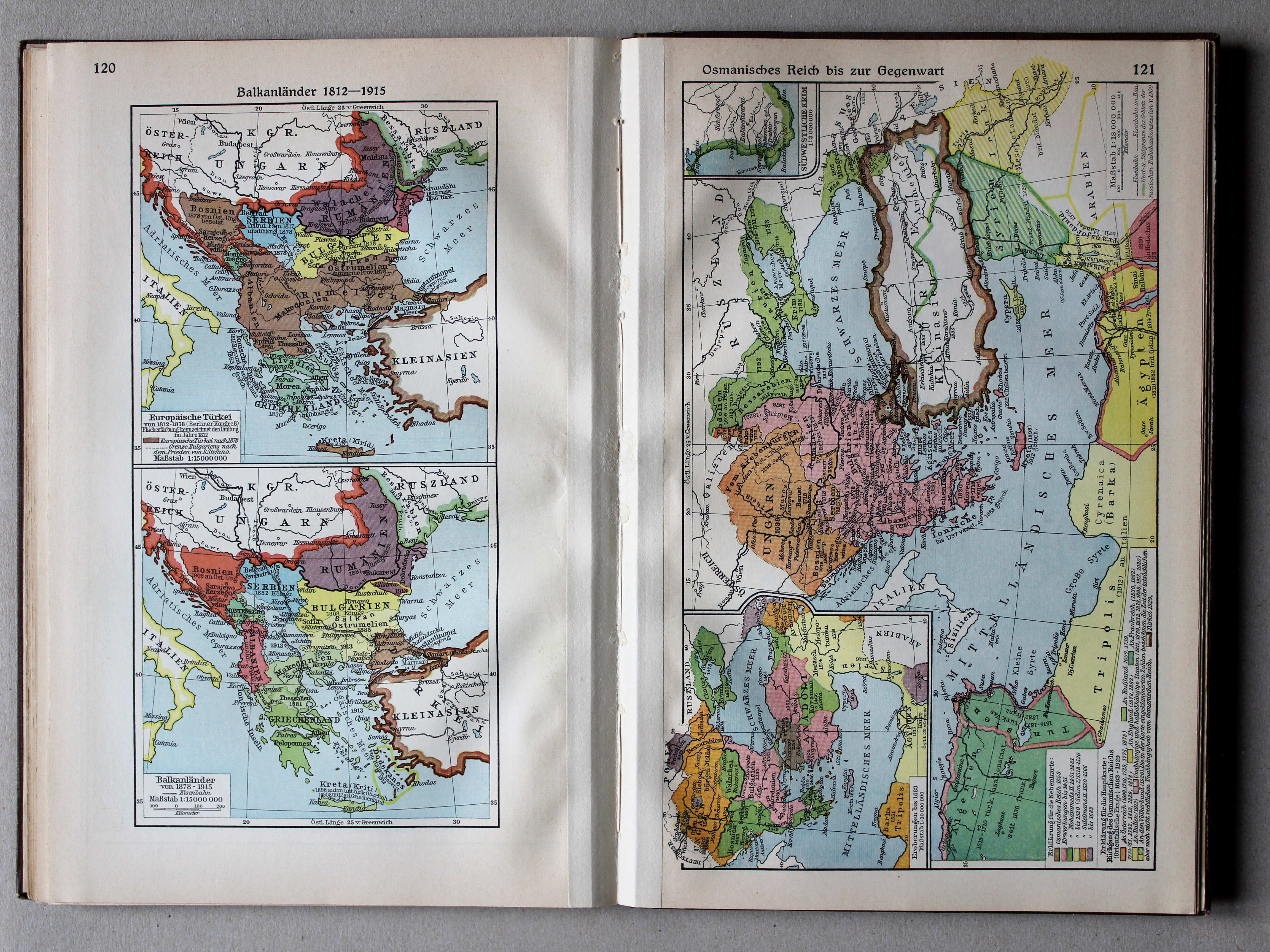
121. Osmanisches Reich bis zur Gegenwart XL
Het Ottomaanse Rijk tot heden / The Ottoman Empire until today
 Putzgers Historischer Schul-Atlas, Große Ausgabe, 1934
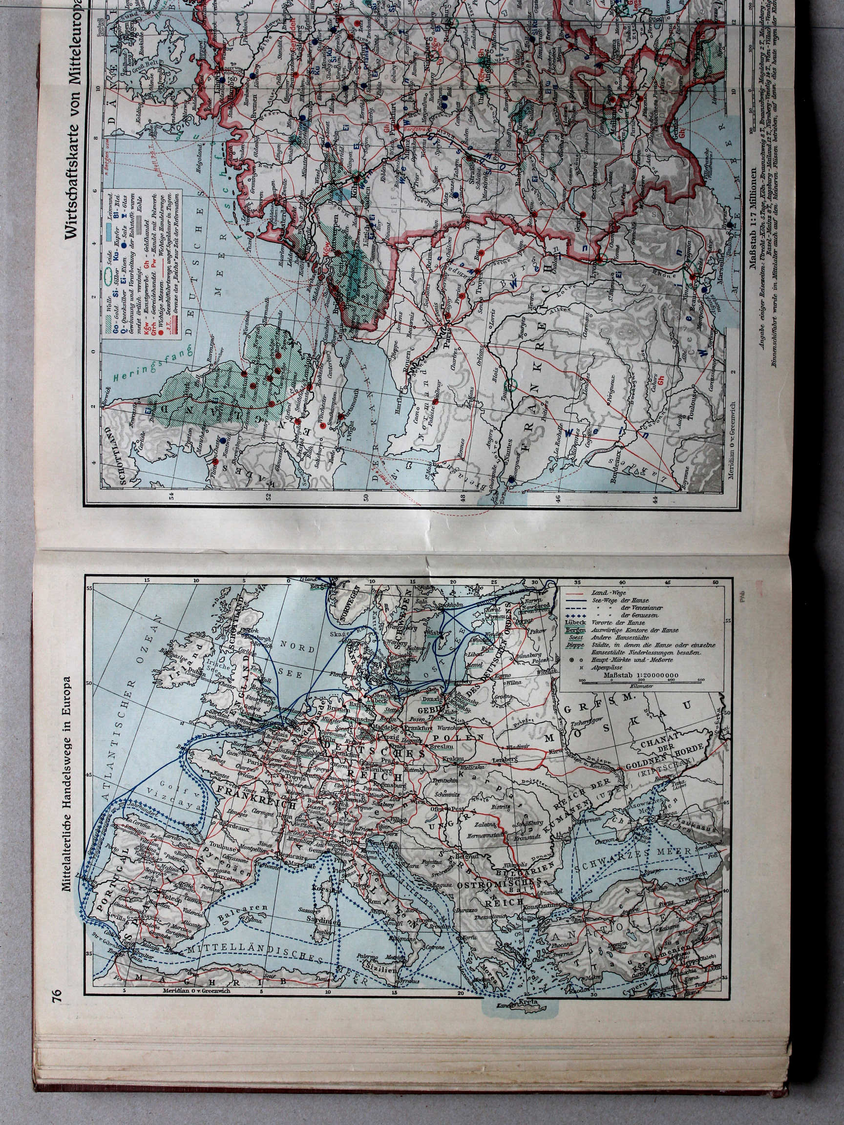
76. Mittelalterliche Handelswege in Europa XL
Handelsroutes in Europa in de Middeleeuwen / Trade routes in Europe in the Middle Ages
 Putzgers Historischer Schul-Atlas, Große Ausgabe, 1931/33
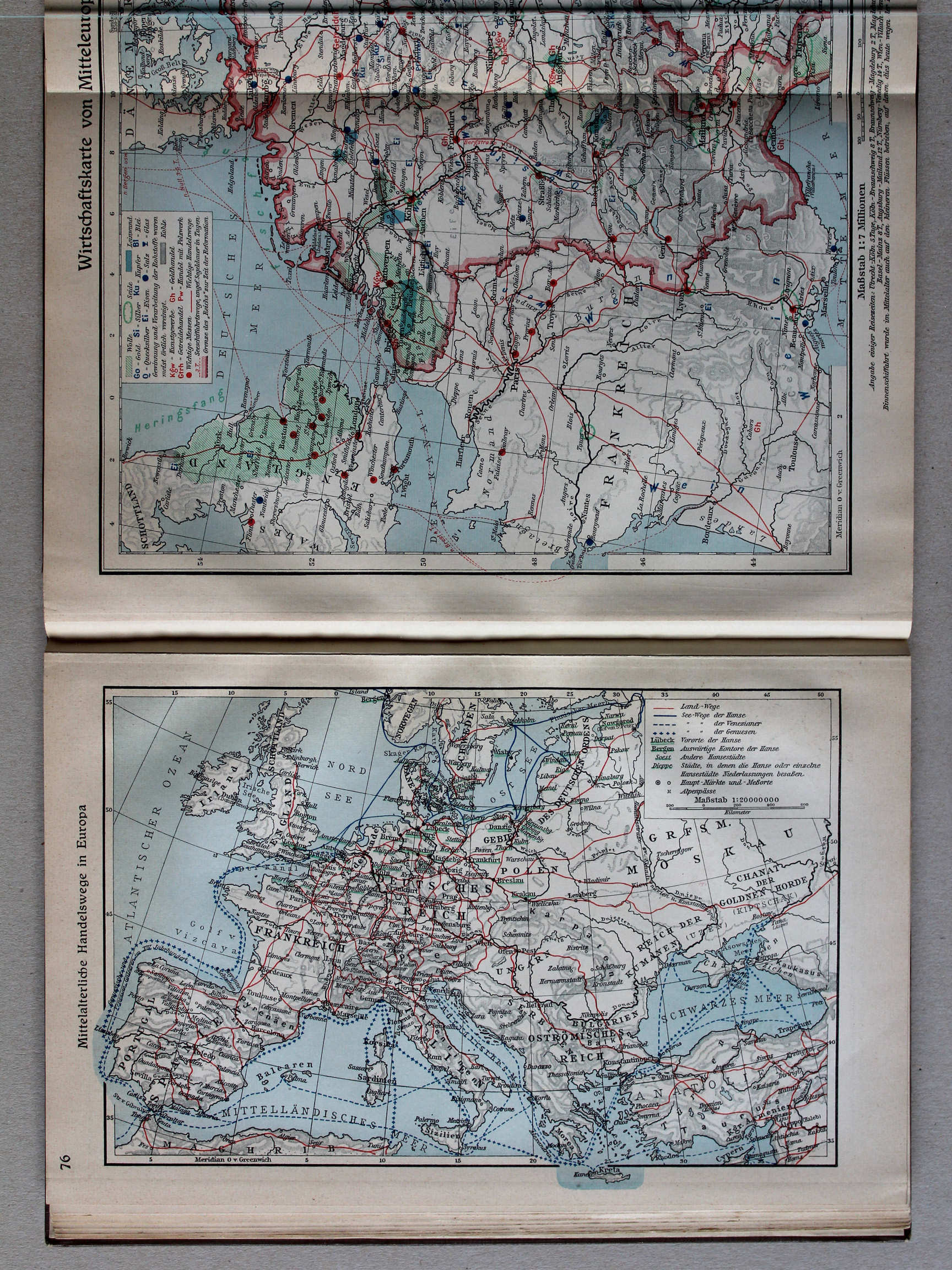
76. Mittelalterliche Handelswege in Europa XL
Handelsroutes in Europa in de Middeleeuwen / Trade routes in Europe in the Middle Ages
 Putzgers Historischer Schul-Atlas, Große Ausgabe, 1934
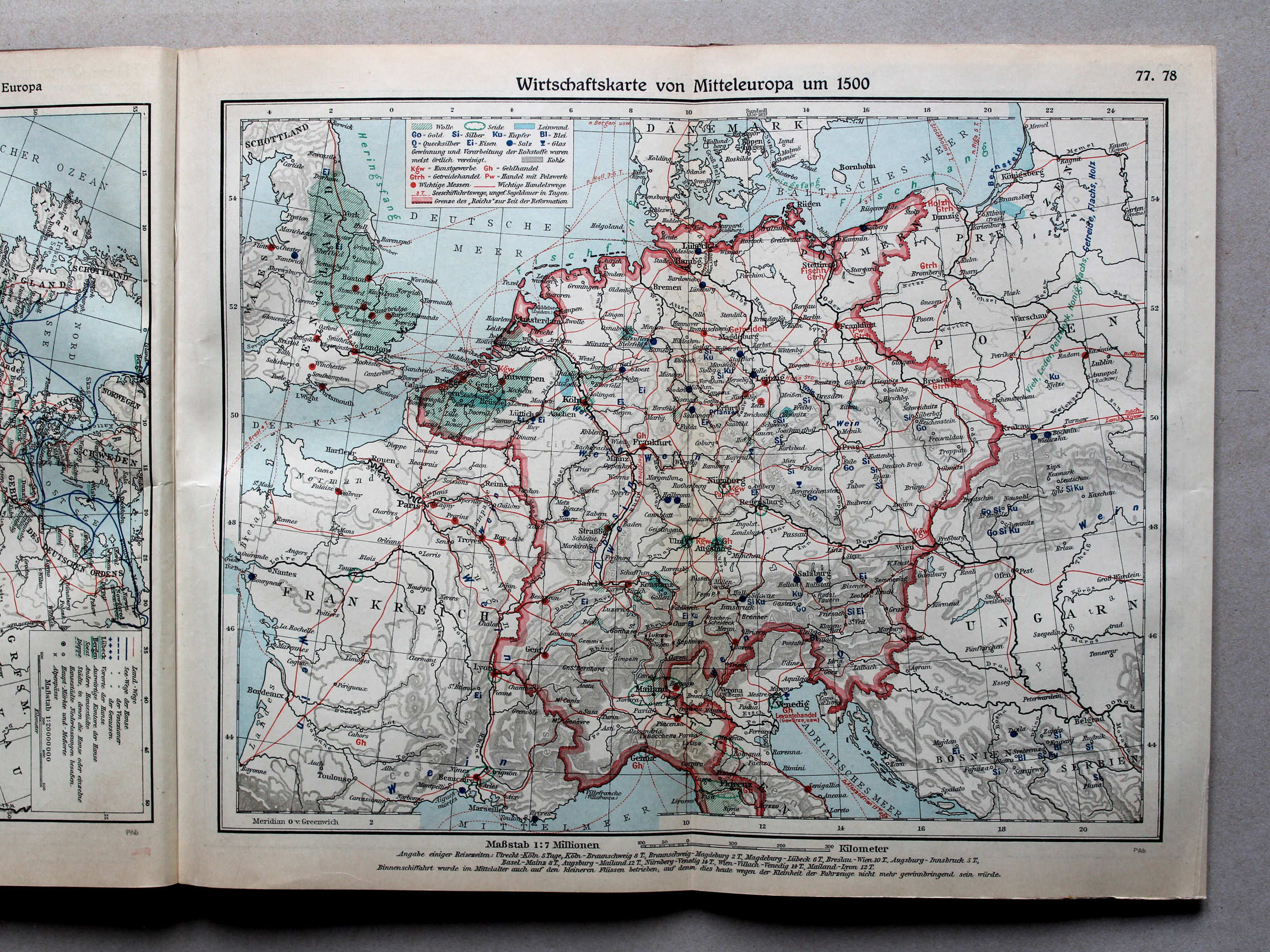
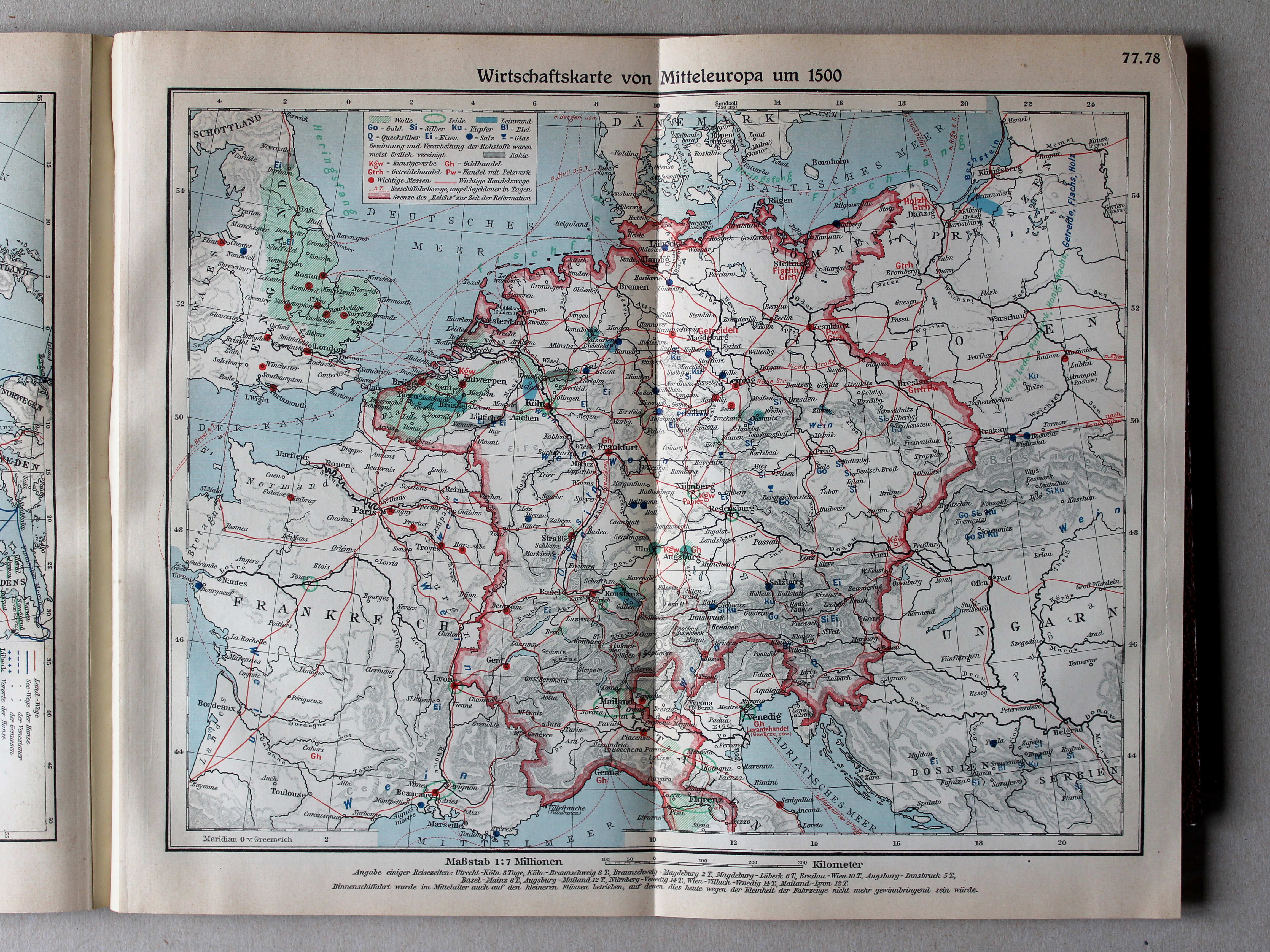
77.78. Wirtschaftskarte von Mitteleuropa um 1500 XL
Economische kaart van Midden-Europa rond 1500 / Economic map of Central Europe around 1500
 Putzgers Historischer Schul-Atlas, Große Ausgabe, 1931/33
77.78. Wirtschaftskarte von Mitteleuropa um 1500 XL
Economische kaart van Midden-Europa rond 1500 / Economic map of Central Europe around 1500
 Putzgers Historischer Schul-Atlas, Große Ausgabe, 1934
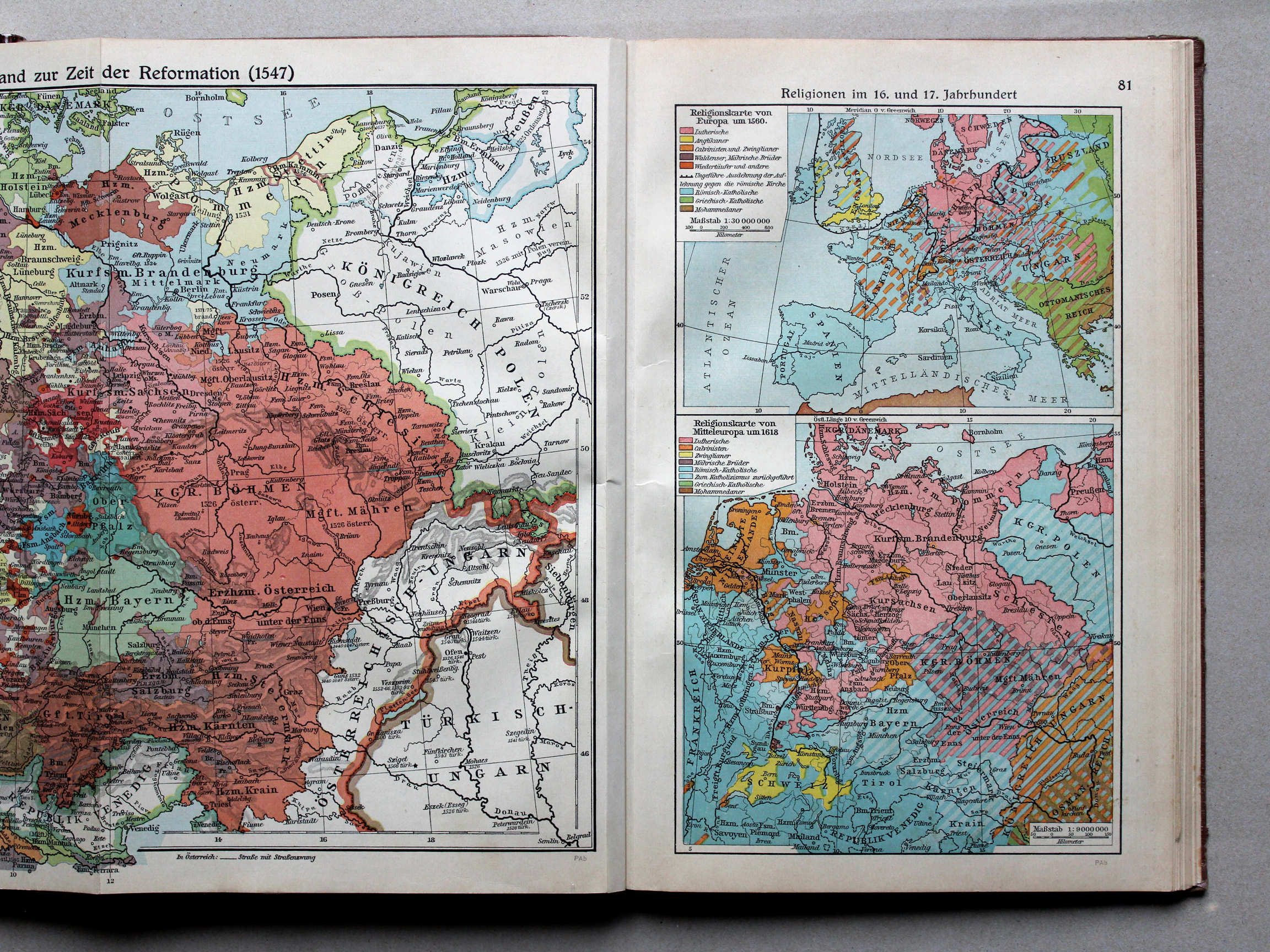
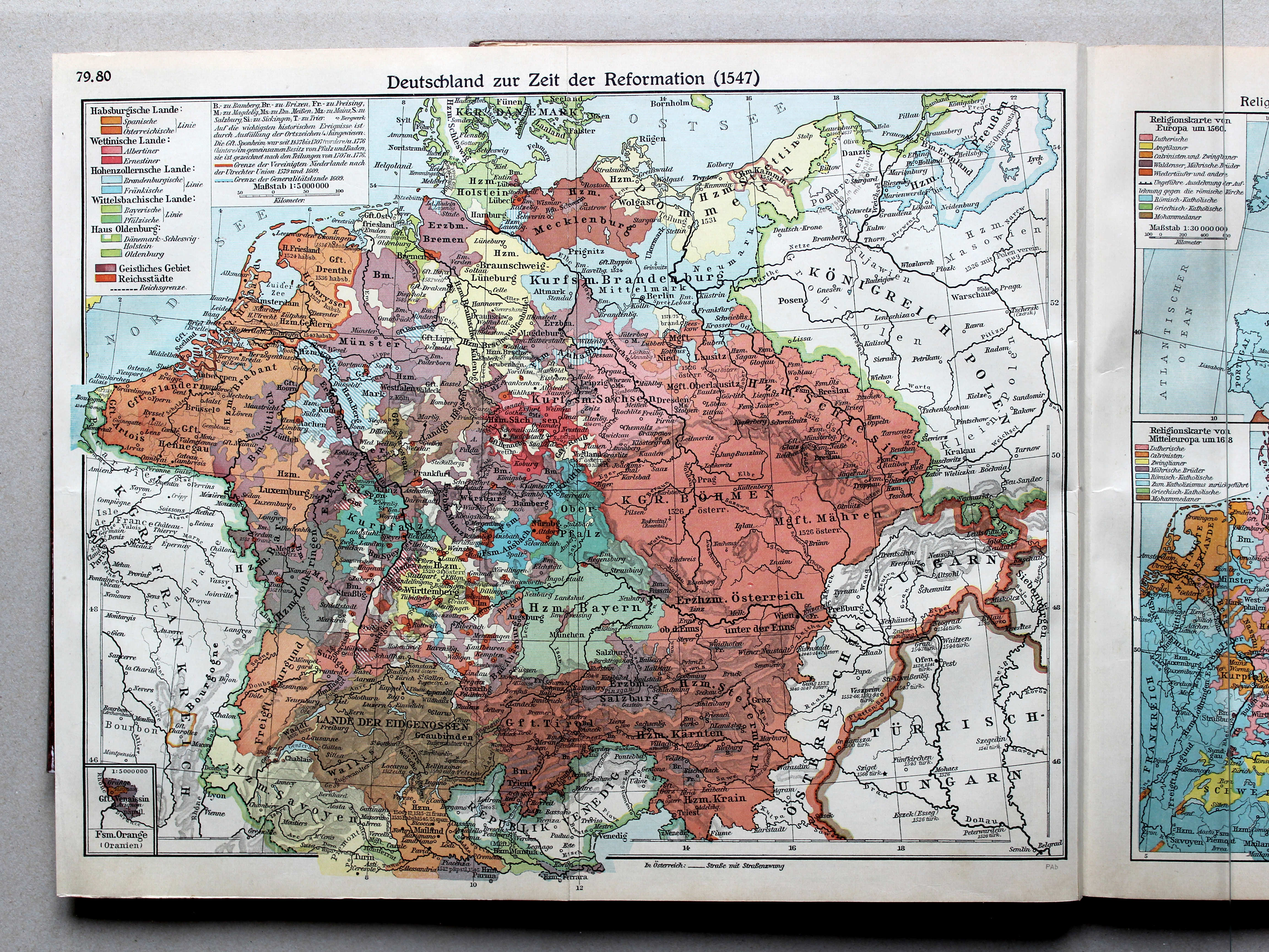
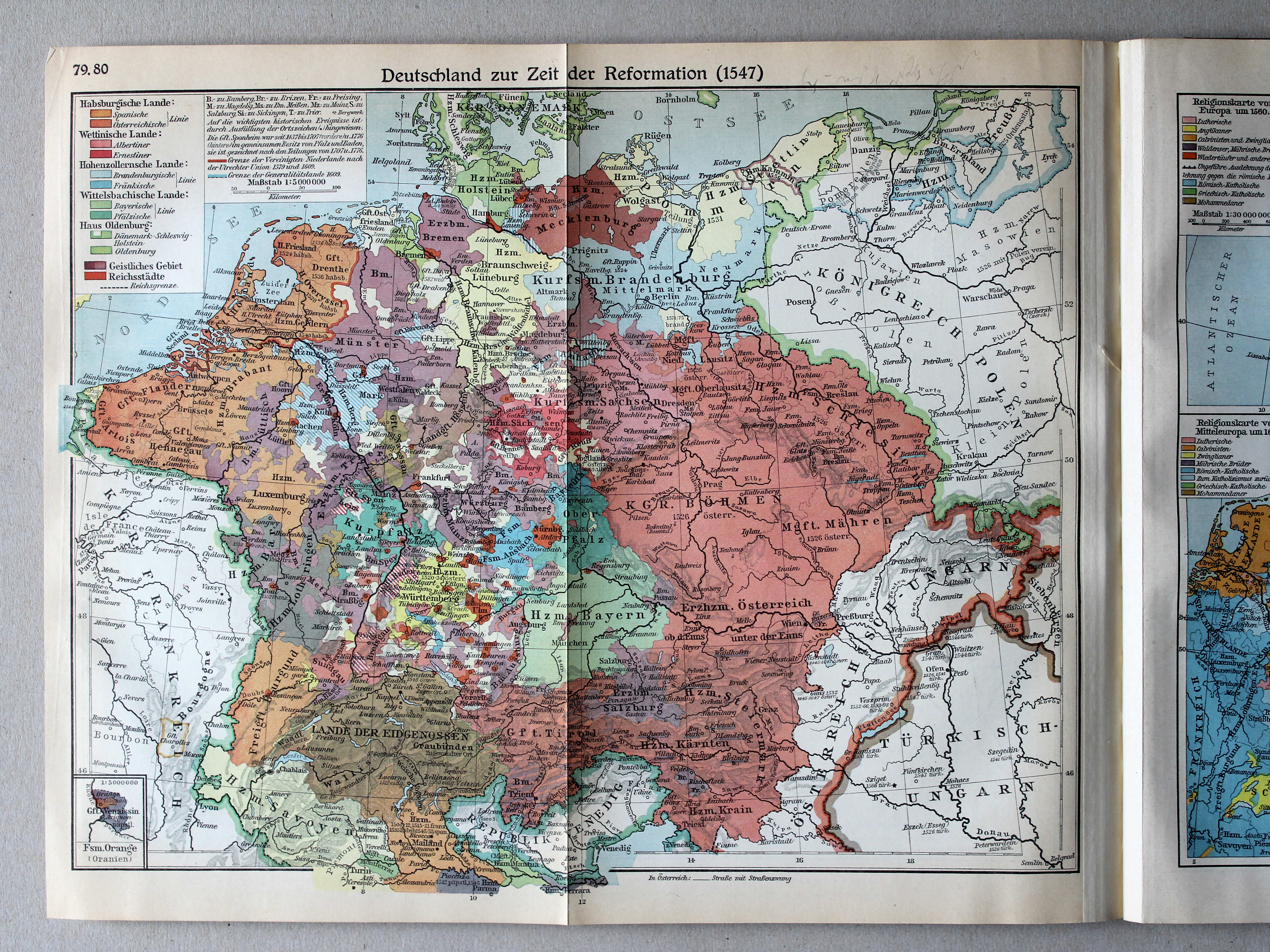
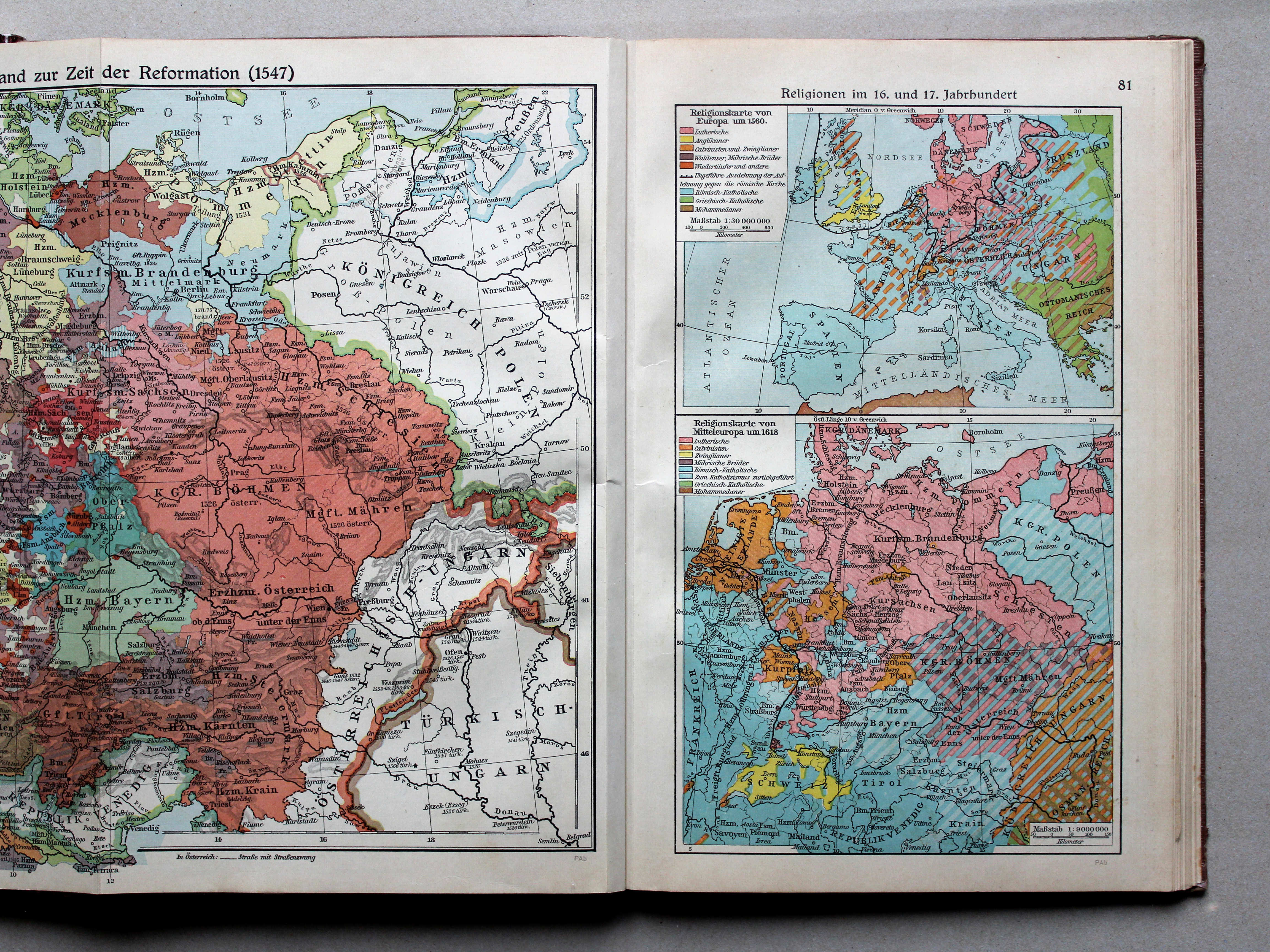
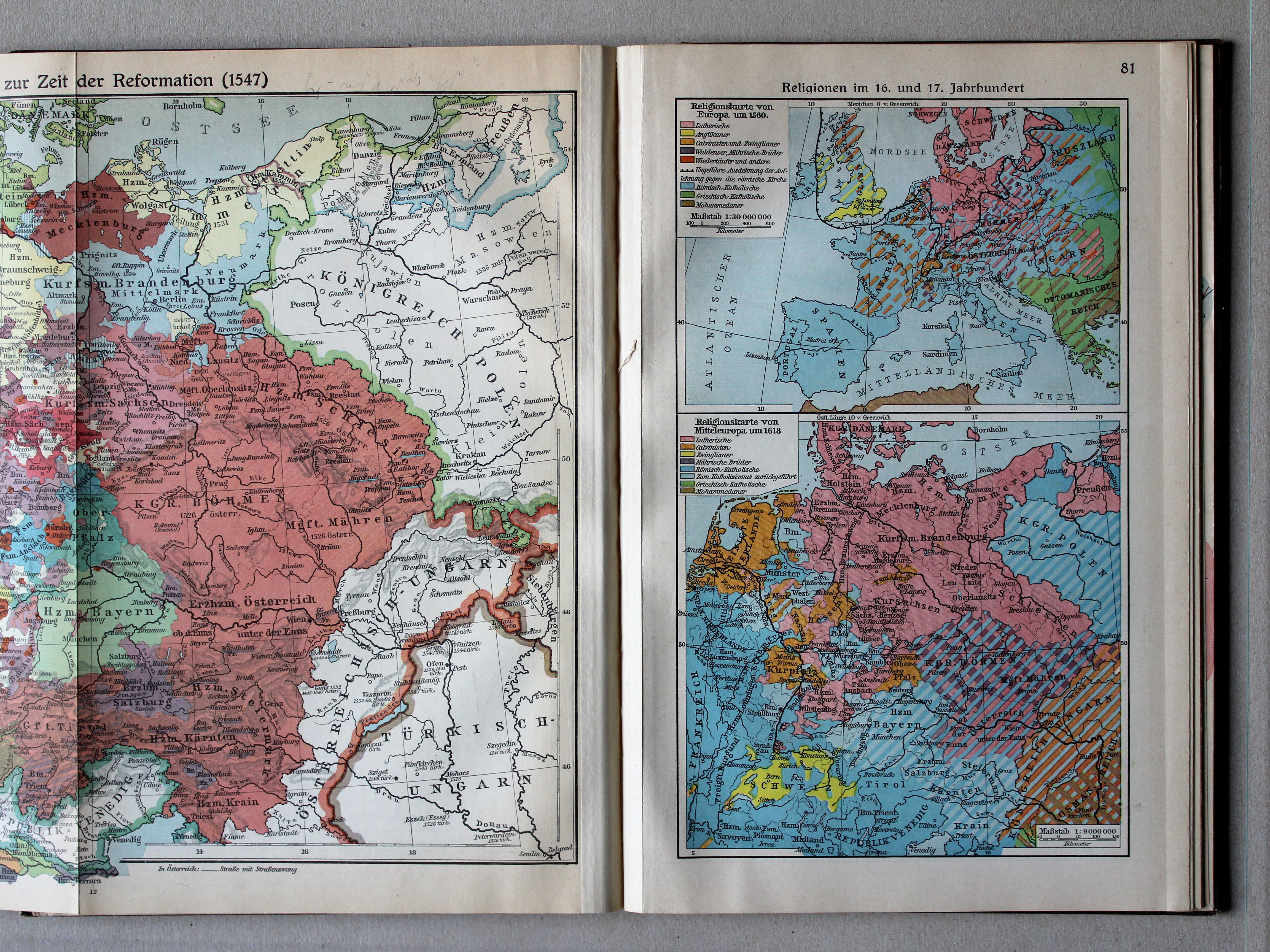
79.80. Deutschland zur Zeit der Reformation (1547) XL
Duitsland in de tijd van de Reformatie (1547) / Germany during the Protestant Reformation (1547)
 Putzgers Historischer Schul-Atlas, Große Ausgabe, 1931/33
79.80. Deutschland zur Zeit der Reformation (1547) XL
Duitsland in de tijd van de Reformatie (1547) / Germany during the Protestant Reformation (1547)
 Putzgers Historischer Schul-Atlas, Große Ausgabe, 1934
81. Religionen im 16. und 17. Jahrhundert XL
Godsdiensten in de 16e en 17e eeuw / Religions in the 16th and 17th centuries
 Putzgers Historischer Schul-Atlas, Große Ausgabe, 1931/33
81. Religionen im 16. und 17. Jahrhundert XL
Godsdiensten in de 16e en 17e eeuw / Religions in the 16th and 17th centuries
 Putzgers Historischer Schul-Atlas, Große Ausgabe, 1934
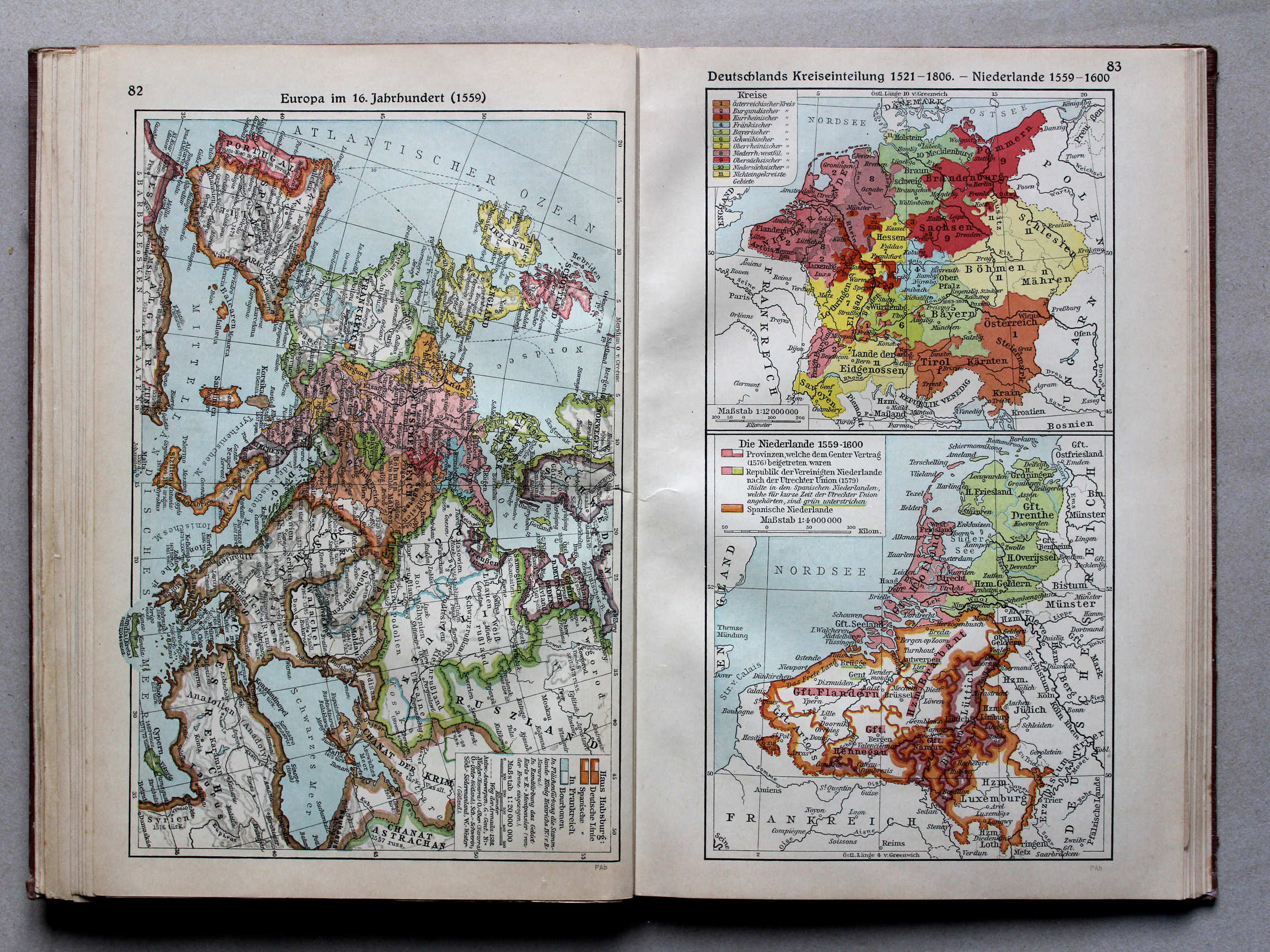
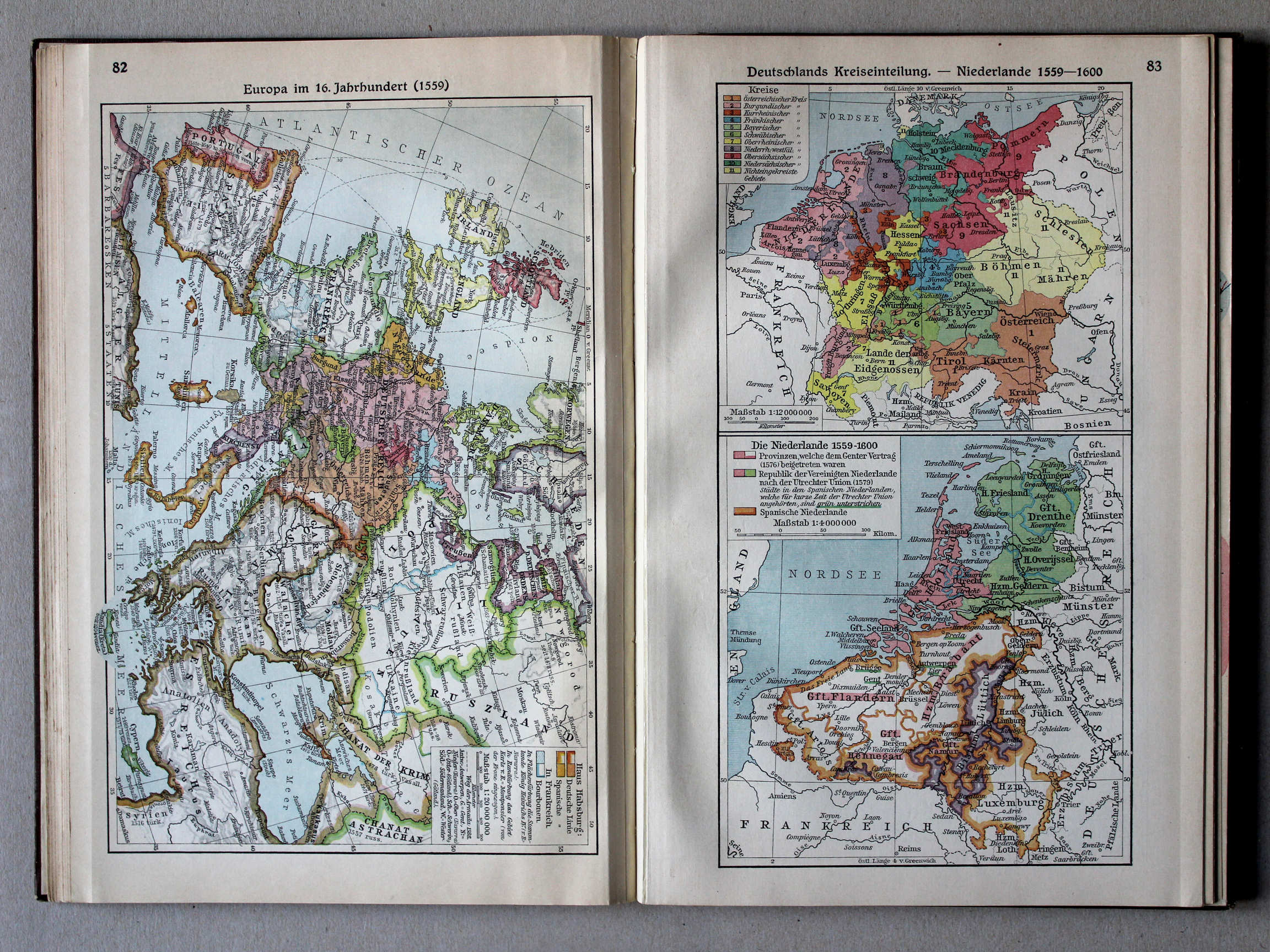
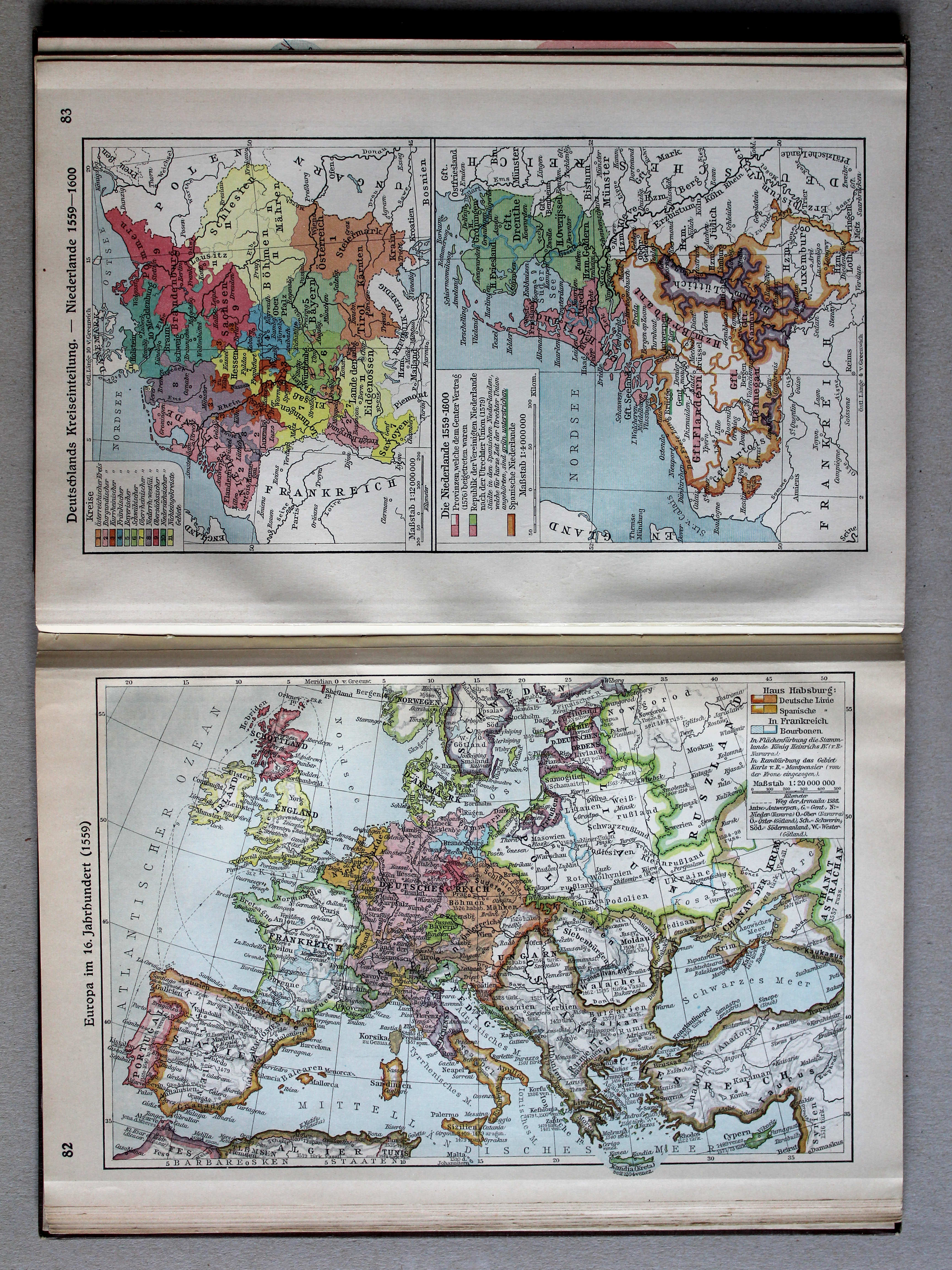
82. Europa im 16. Jahrhundert (1559) XL
Europa in de 16e eeuw (1559) / Europe in the 16th century (1559)
 Putzgers Historischer Schul-Atlas, Große Ausgabe, 1931/33
82. Europa im 16. Jahrhundert (1559) XL
Europa in de 16e eeuw (1559) / Europe in the 16th century (1559)
 Putzgers Historischer Schul-Atlas, Große Ausgabe, 1934
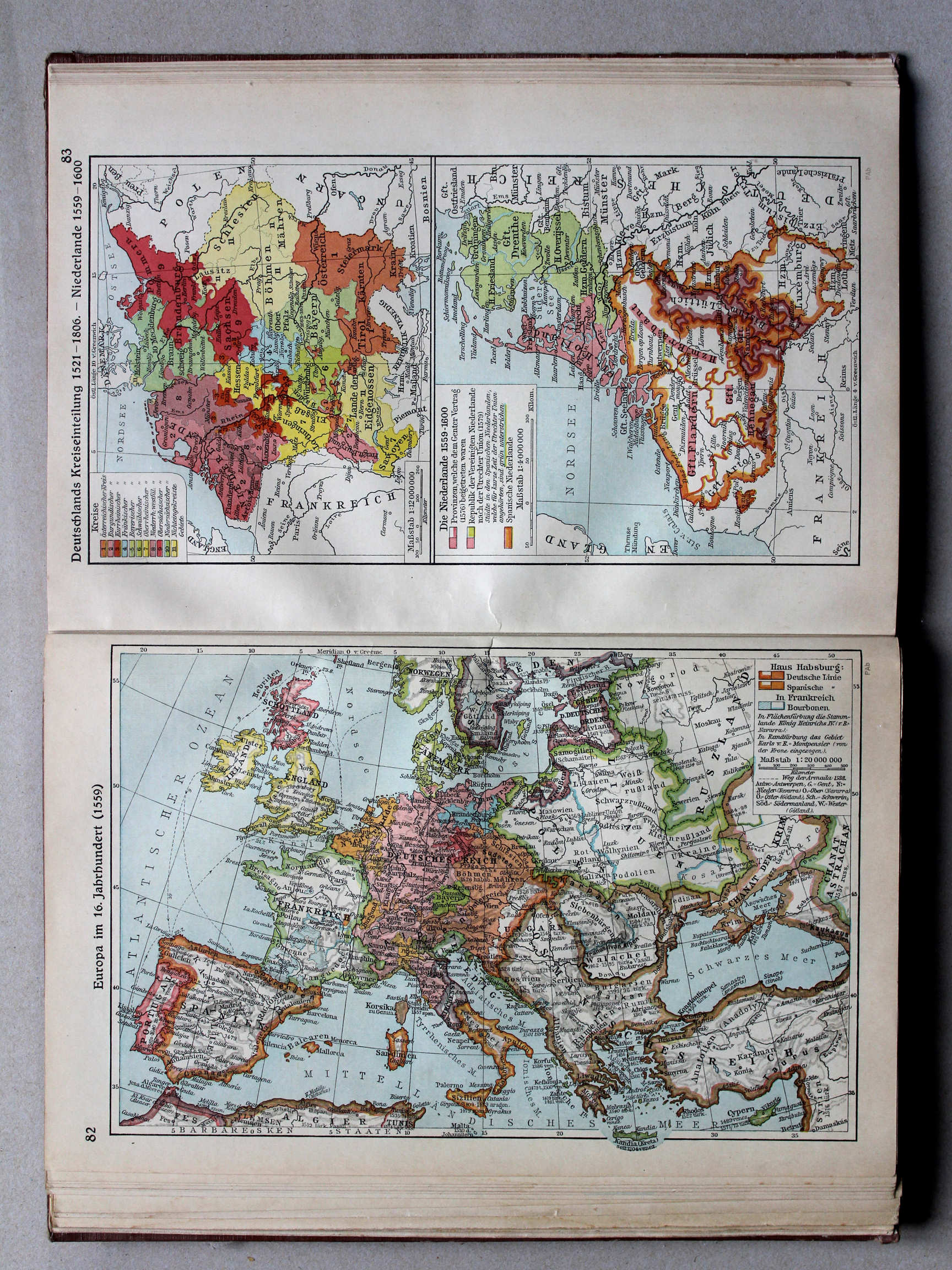
83. Deutschlands Kreiseinteilung 1521-1806 – Niederlande 1559-1600 XL
Kreitsen in Duitsland. De Nederlanden 1559-1600 / Imperial Circles in Germany. The Netherlands 1559-1600
 Putzgers Historischer Schul-Atlas, Große Ausgabe, 1931/33
83. Deutschlands Kreiseinteilung – Niederlande 1559-1600 XL
Kreitsen in Duitsland. De Nederlanden 1559-1600 / Imperial Circles in Germany. The Netherlands 1559-1600
 Putzgers Historischer Schul-Atlas, Große Ausgabe, 1934
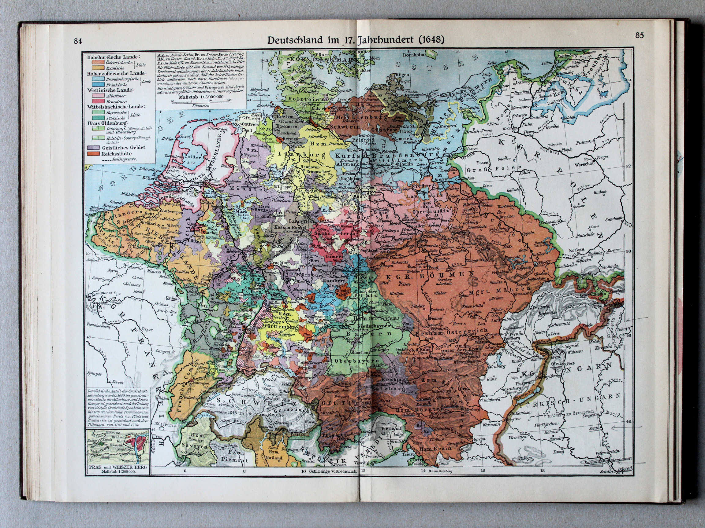
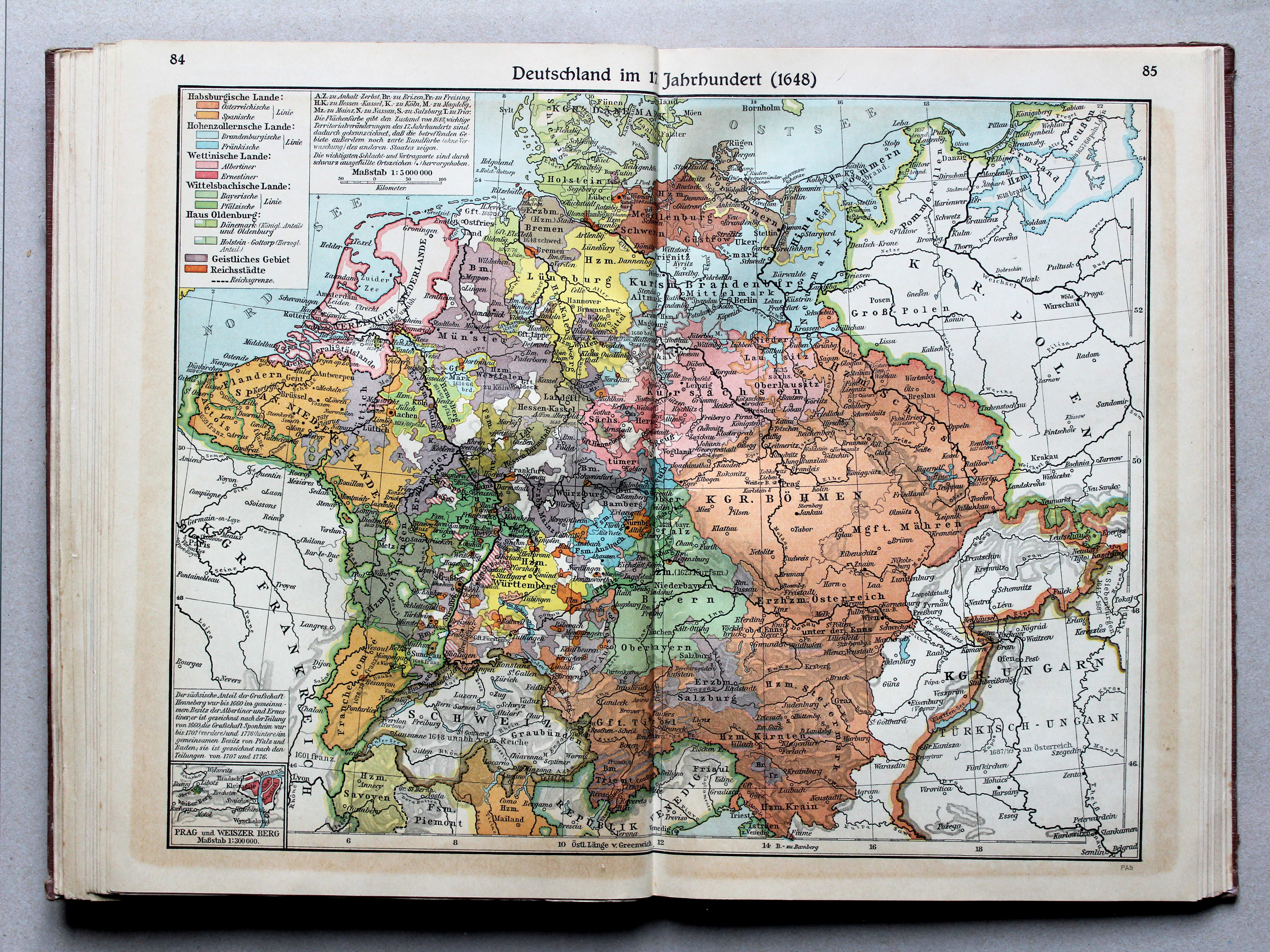
84.85. Deutschland im 17. Jahrhundert (1648) XL
Duitsland in de 17e eeuw (1648) / Germany in the 17th century (1648)
 Putzgers Historischer Schul-Atlas, Große Ausgabe, 1931/33
84.85. Deutschland im 17. Jahrhundert (1648) XL
Duitsland in de 17e eeuw (1648) / Germany in the 17th century (1648)
 Putzgers Historischer Schul-Atlas, Große Ausgabe, 1934
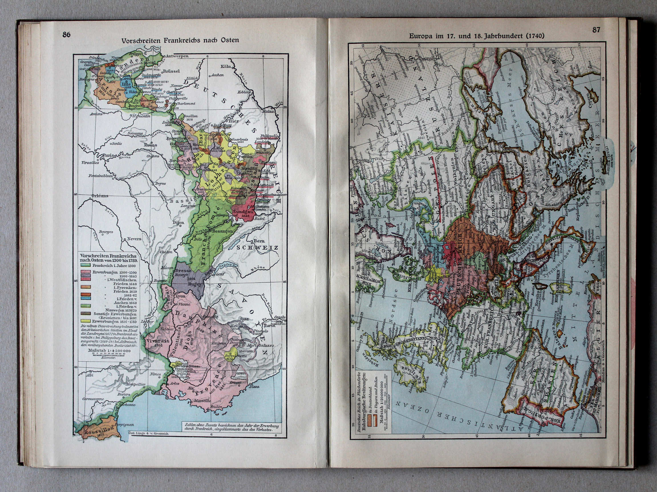
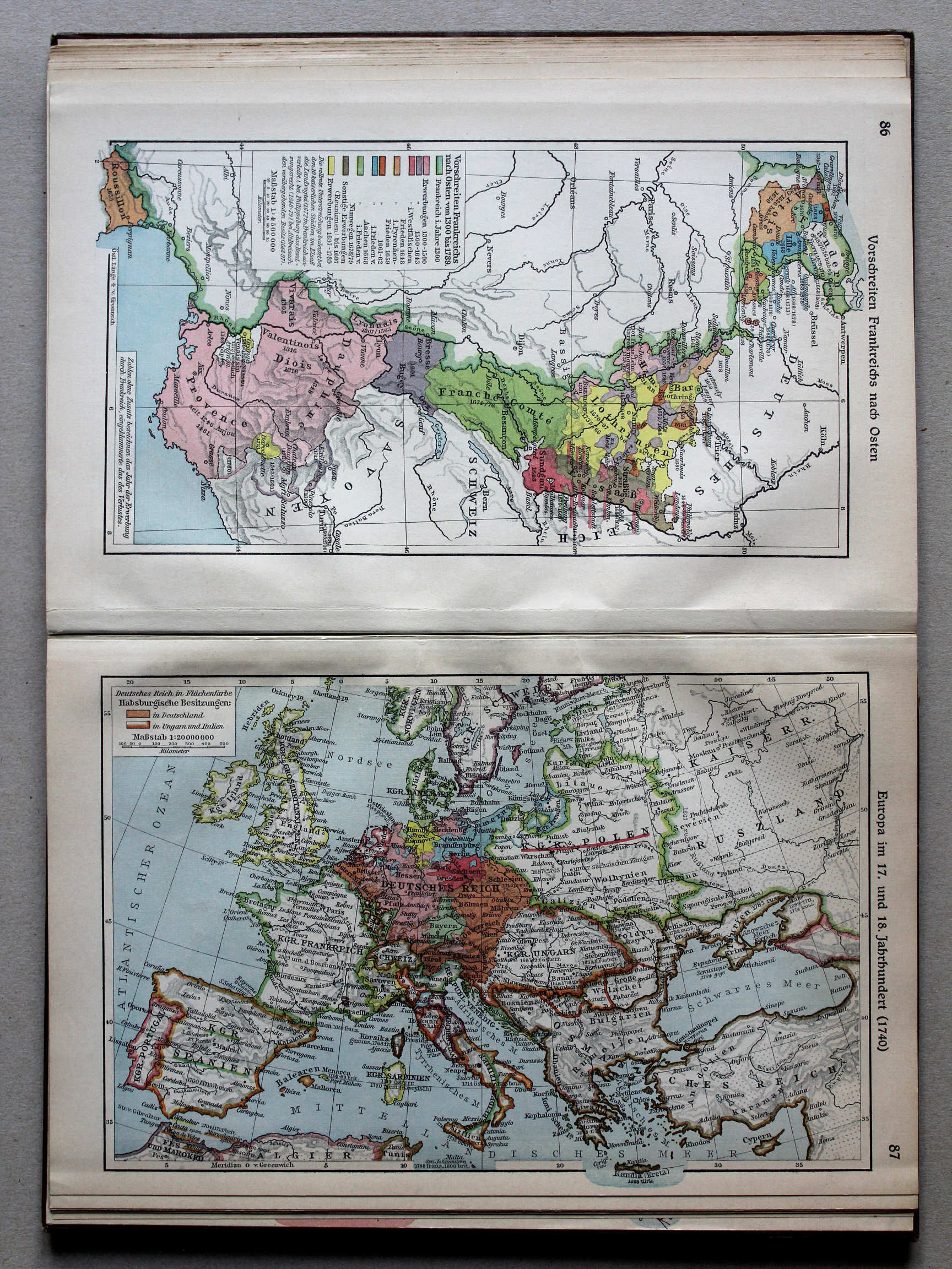
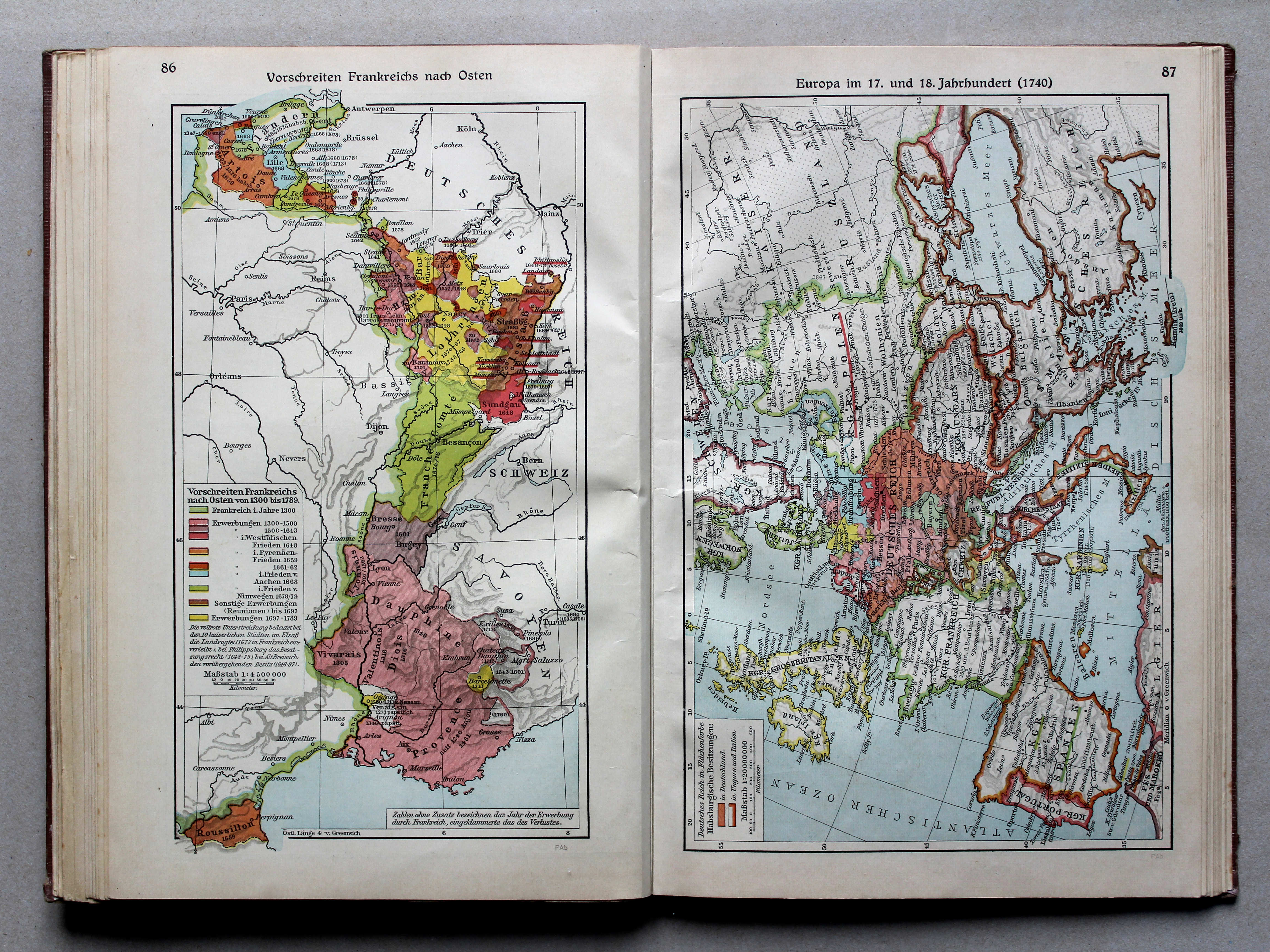
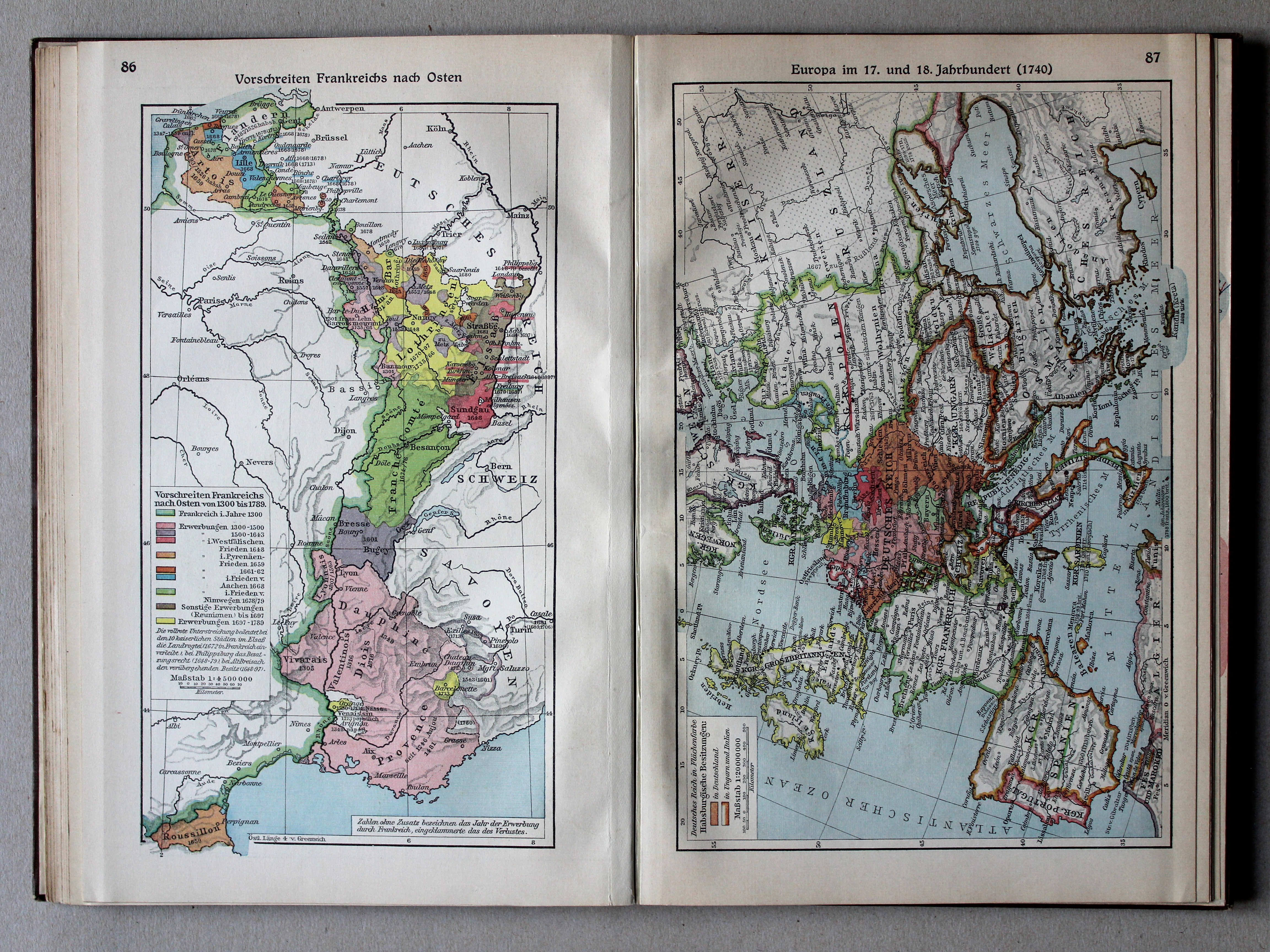
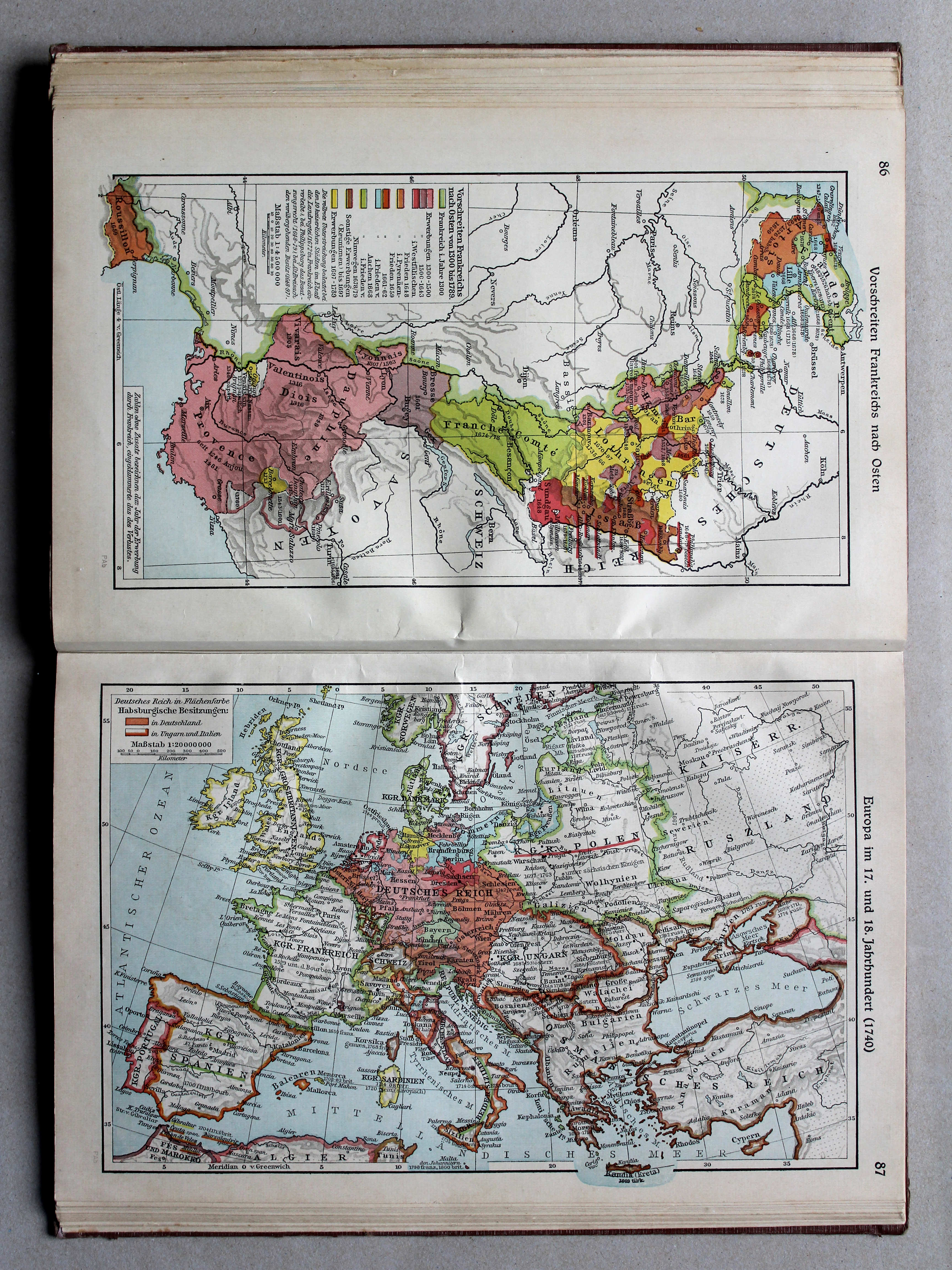
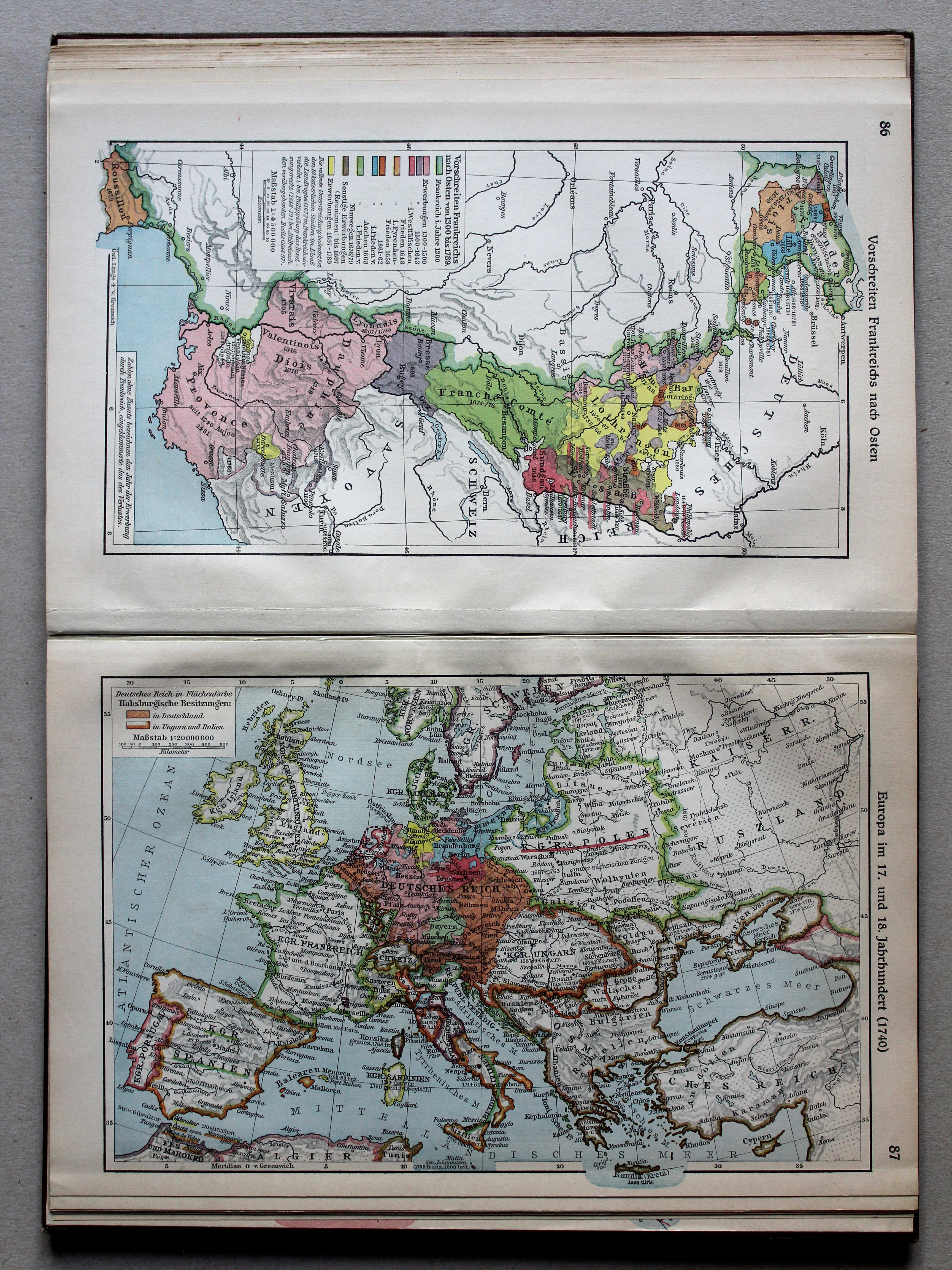
86. Vorschreiten Frankreichs nach Osten XL
Uitbreiding van Frankrijk naar het oosten / Expansion of France towards the east
 Putzgers Historischer Schul-Atlas, Große Ausgabe, 1931/33
86. Vorschreiten Frankreichs nach Osten XL
Uitbreiding van Frankrijk naar het oosten 1300-1789 / Expansion of France towards the east 1300-1789
 Putzgers Historischer Schul-Atlas, Große Ausgabe, 1934
87. Europa im 17. und 18. Jahrhundert (1740) XL
Europa in de 17e en 18e eeuw (1740) / Europe in the 17th and 18th centuries (1740)
 Putzgers Historischer Schul-Atlas, Große Ausgabe, 1931/33
87. Europa im 17. und 18. Jahrhundert (1740) XL
Europa in de 17e en 18e eeuw (1740) / Europe in the 17th and 18th centuries (1740)
 Putzgers Historischer Schul-Atlas, Große Ausgabe, 1934
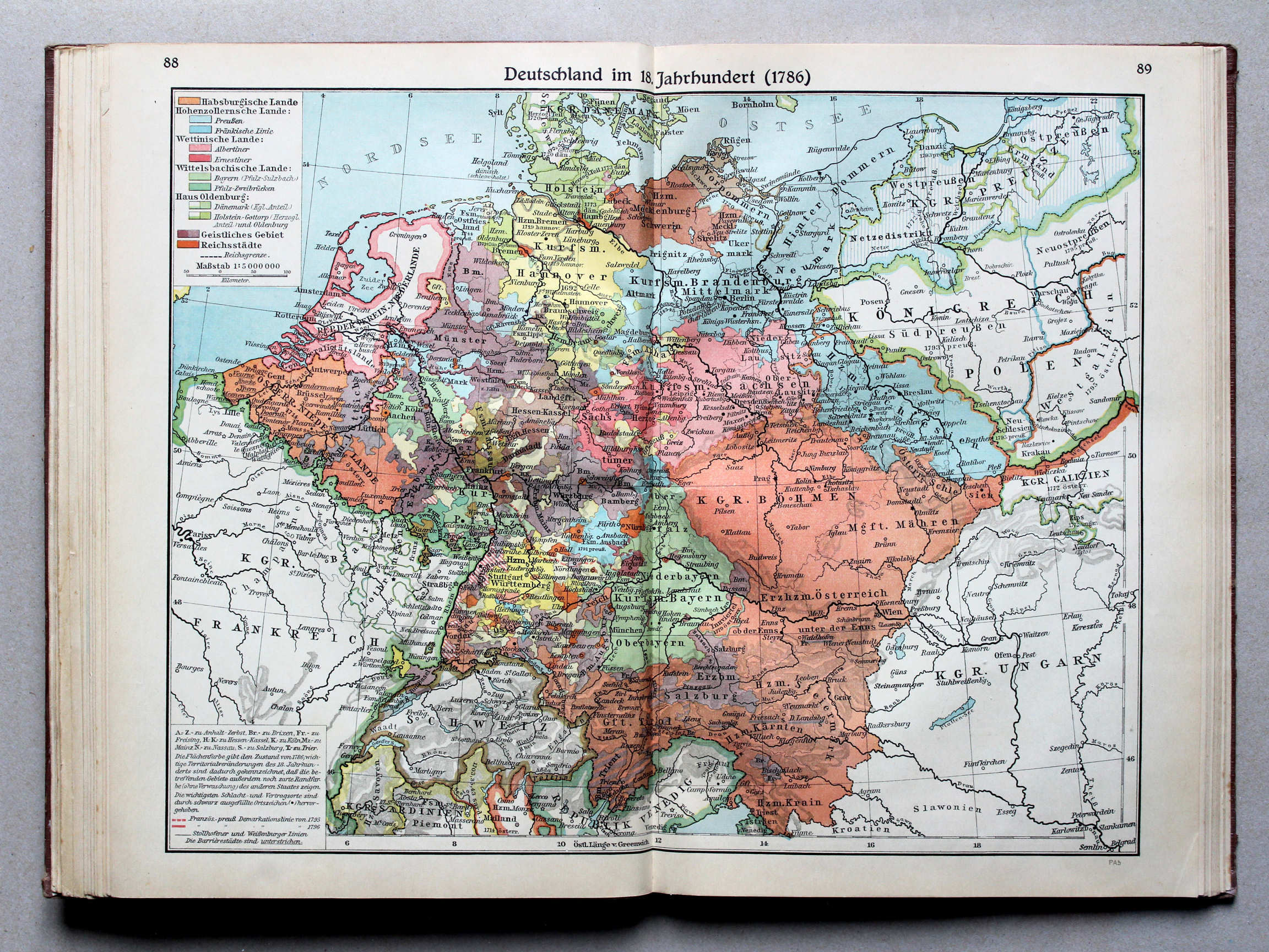
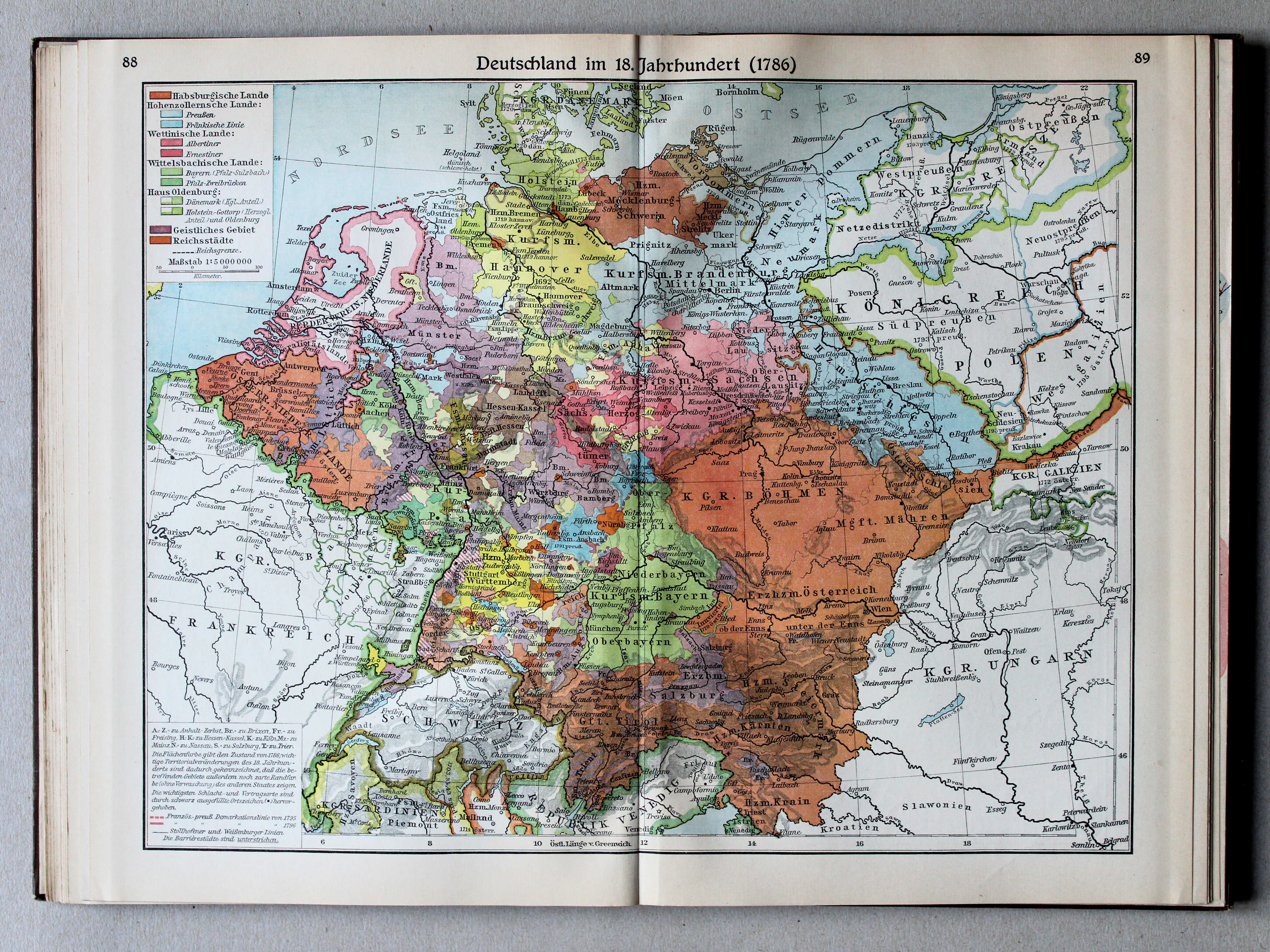
88.89. Deutschland im 18. Jahrhundert (1786) XL
Duitsland in de 18e eeuw (1786) / Germany in the 18th century (1786)
 Putzgers Historischer Schul-Atlas, Große Ausgabe, 1931/33
88.89. Deutschland im 18. Jahrhundert (1786) XL
Duitsland in de 18e eeuw (1786) / Germany in the 18th century (1786)
 Putzgers Historischer Schul-Atlas, Große Ausgabe, 1934
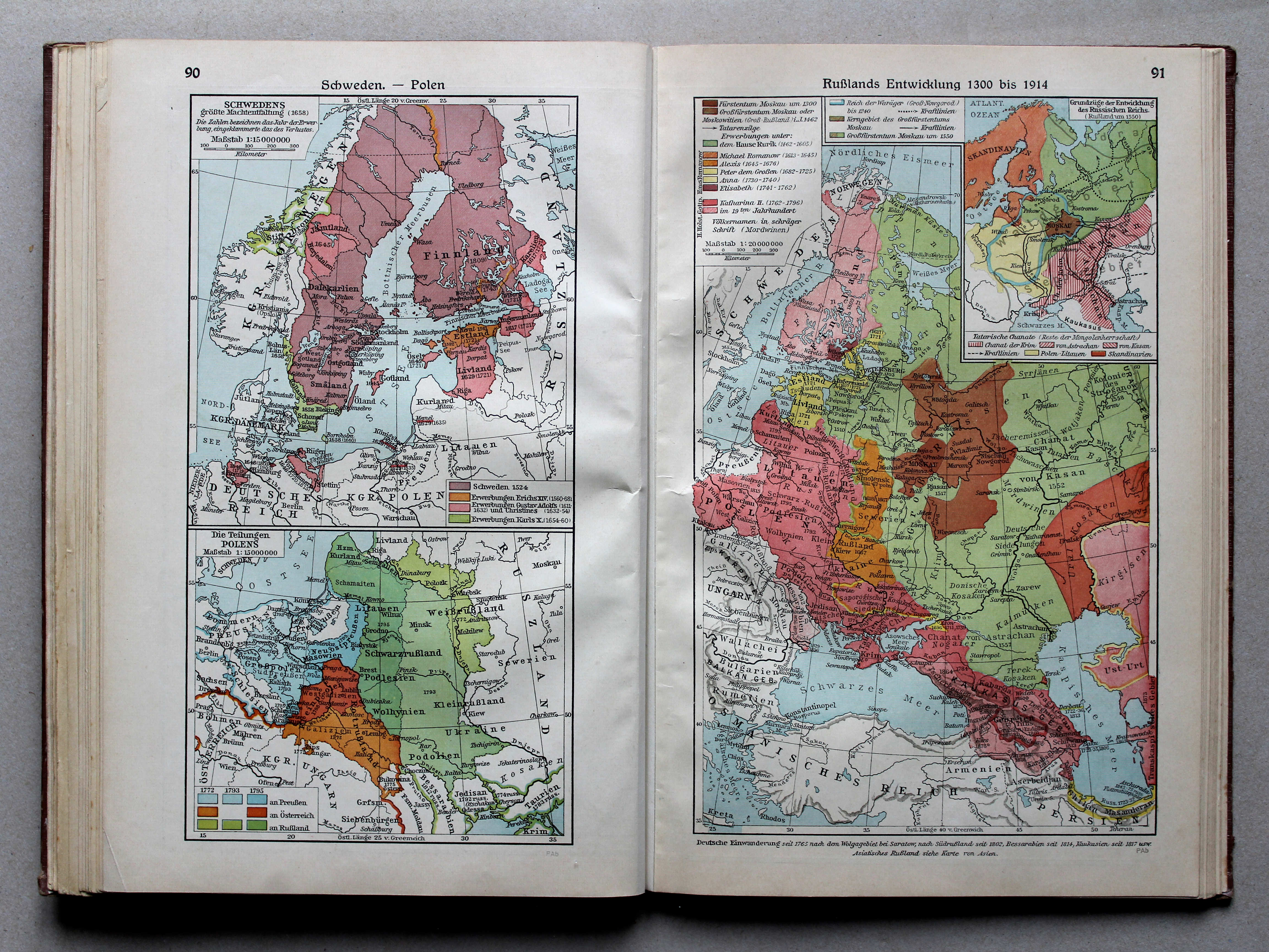
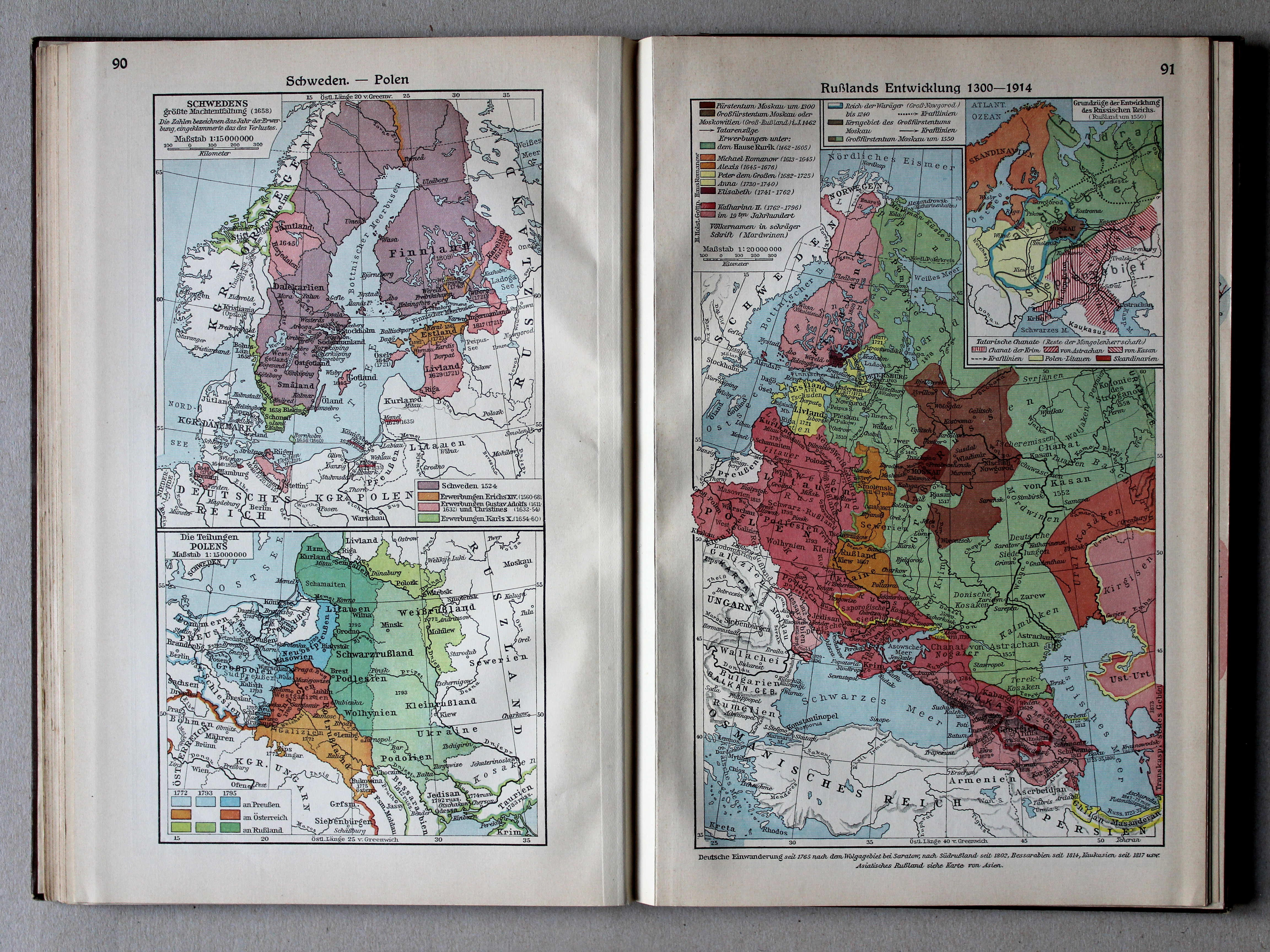
90. Schweden – Polen XL
Zweden. Polen / Sweden. Poland
91. Rußlands Entwicklung 1300 bis 1914 XL
Ontwikkeling van Rusland 1300-1914 / Development of Russia 1300-1914
 Putzgers Historischer Schul-Atlas, Große Ausgabe, 1931/33
90. Schweden – Polen XL
Zweden. Polen / Sweden. Poland
91. Rußlands Entwicklung 1300-1914 XL
Ontwikkeling van Rusland 1300-1914 / Development of Russia 1300-1914
 Putzgers Historischer Schul-Atlas, Große Ausgabe, 1934
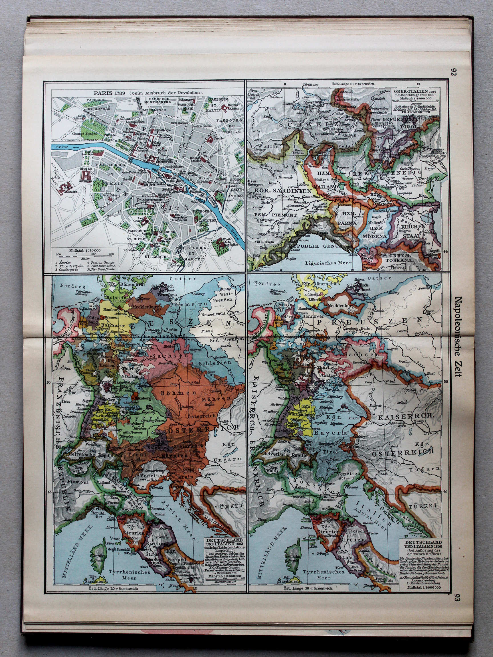
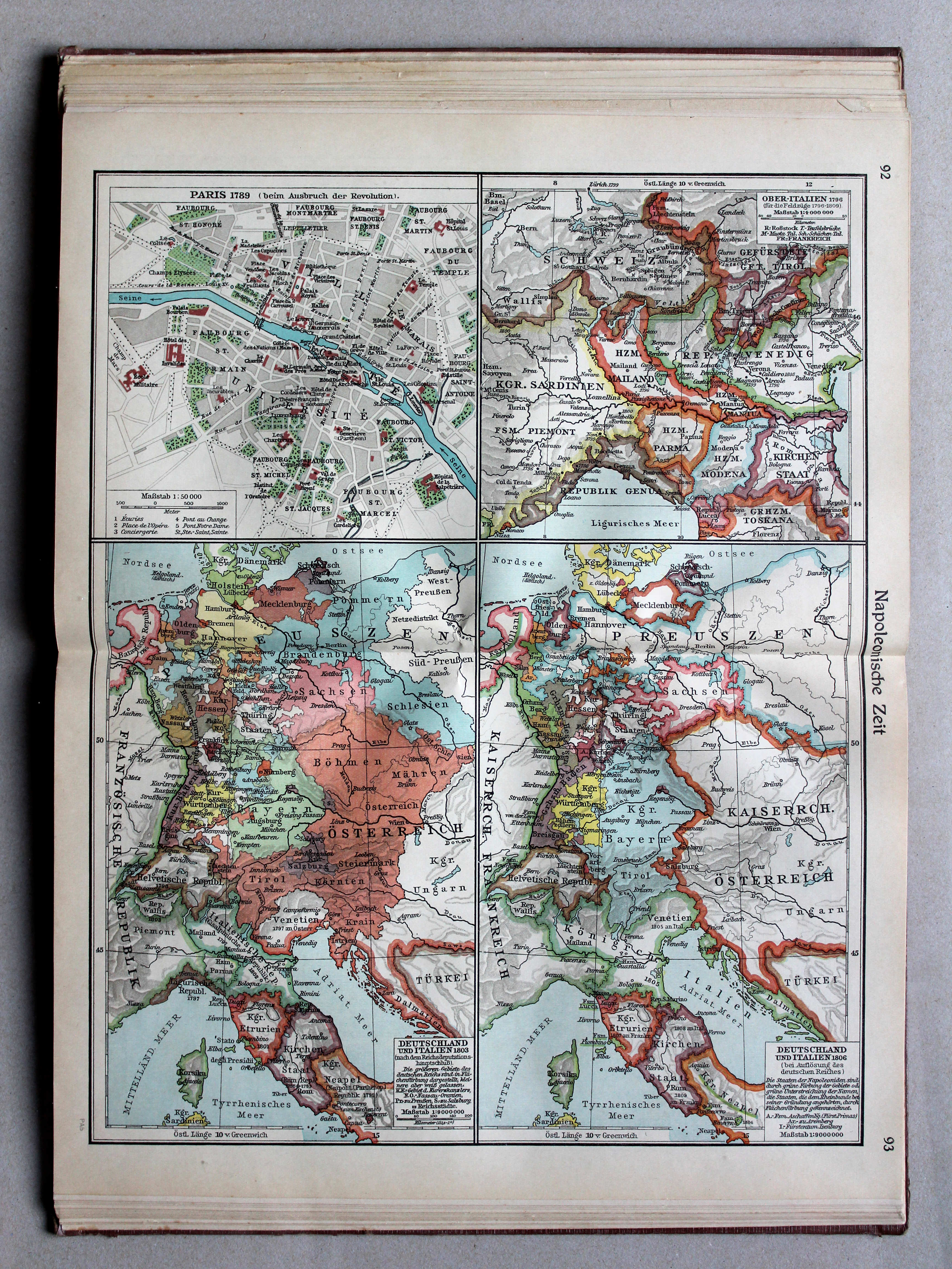
92.93. Napoleonische Zeit XL
Tijd van Napoleon / Era of Napoleon
 Putzgers Historischer Schul-Atlas, Große Ausgabe, 1931/33
92.93. Napoleonische Zeit XL
Tijd van Napoleon / Era of Napoleon
 Putzgers Historischer Schul-Atlas, Große Ausgabe, 1934
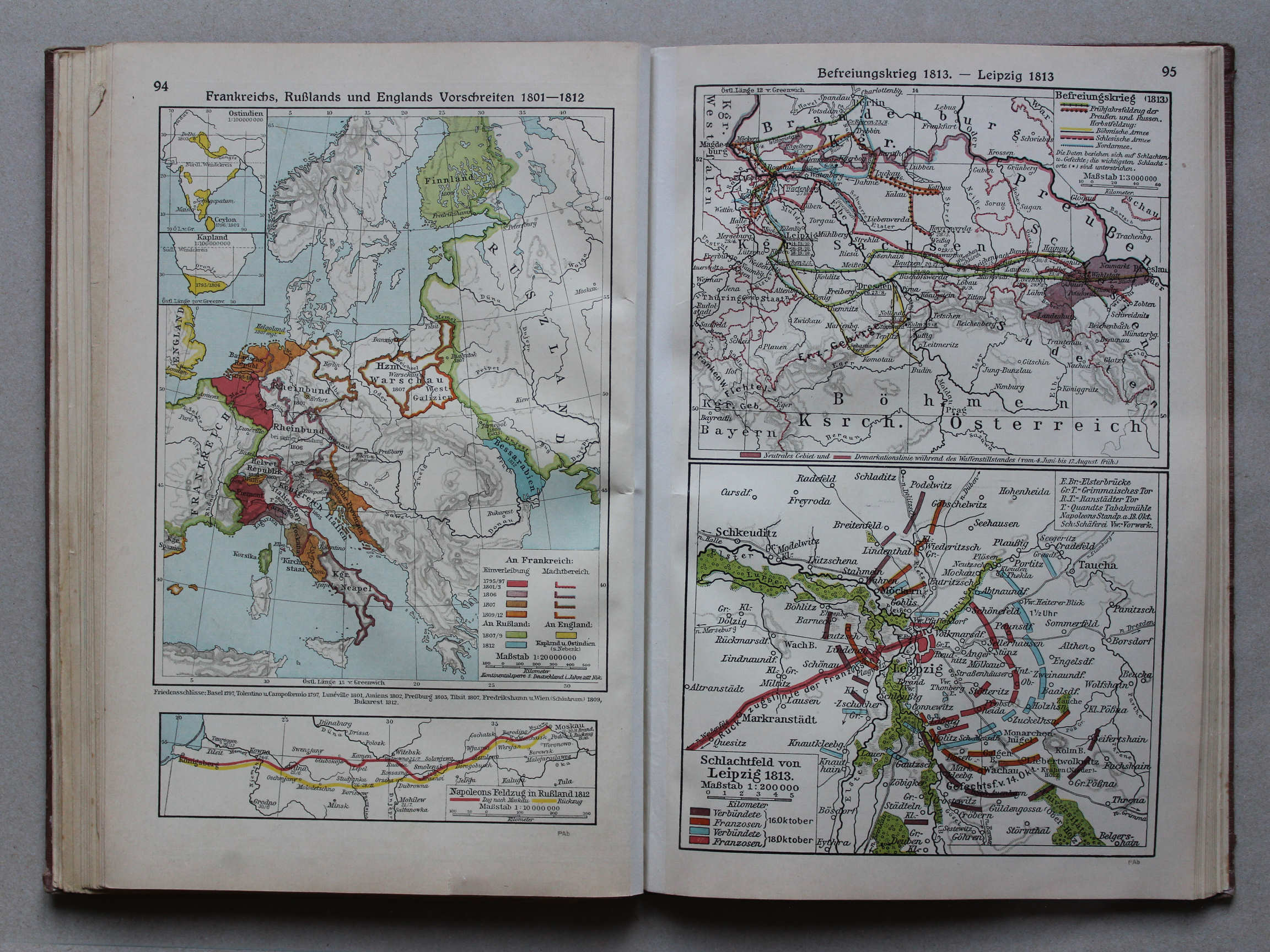
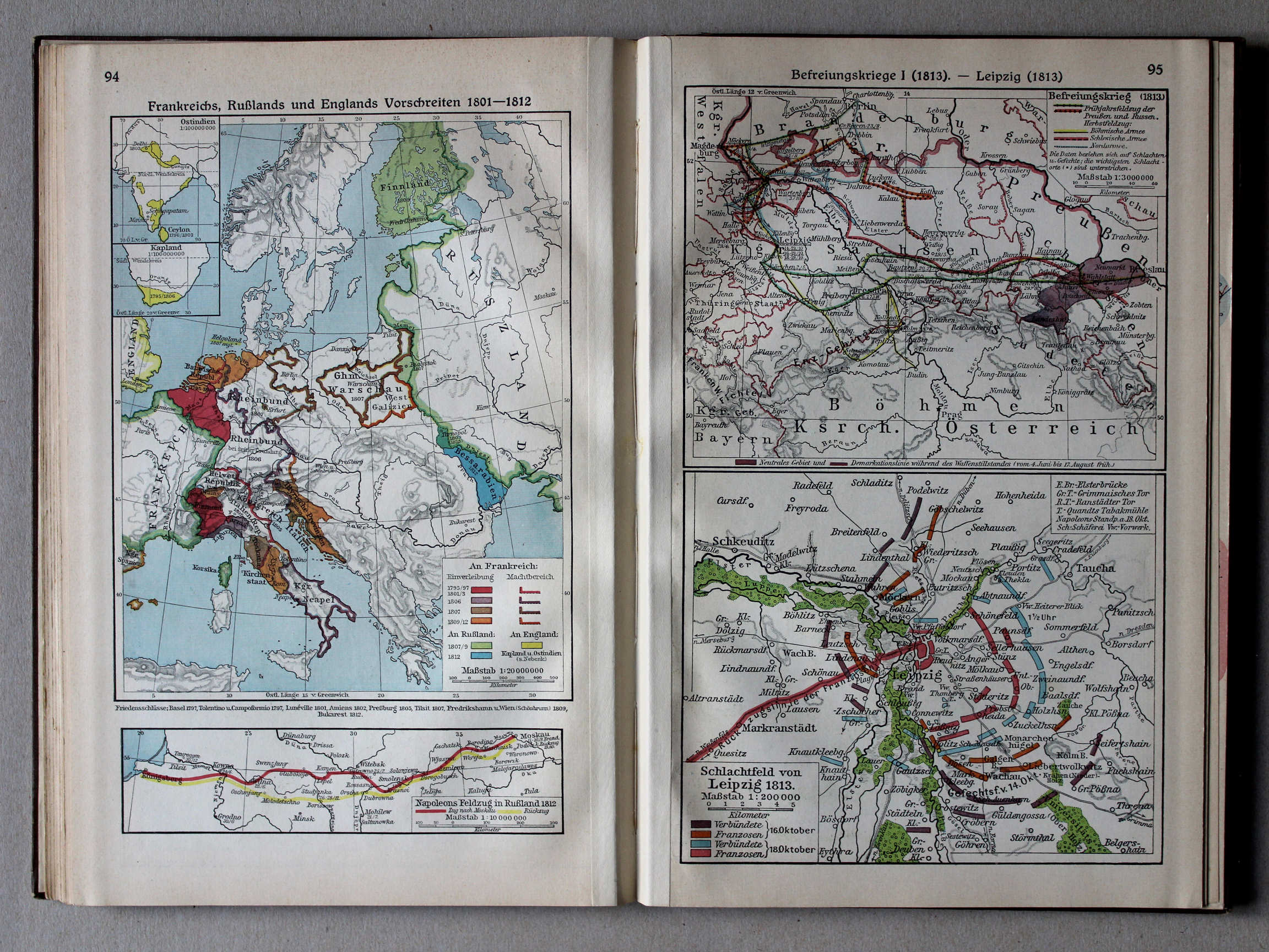
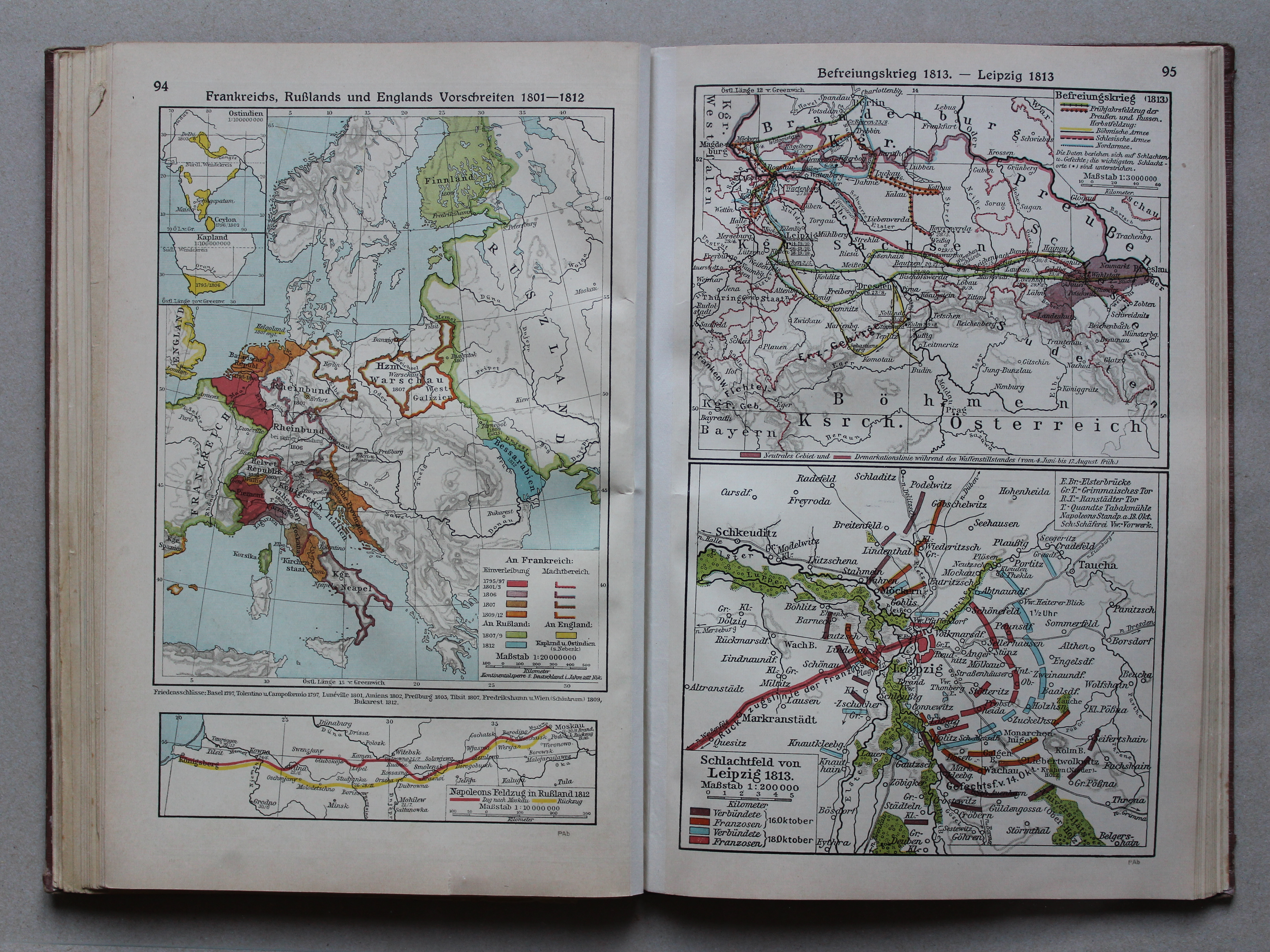
94. Frankreichs, Rußlands und Englands Vorschreiten 1801-1812 XL
Uitbreiding van Frankrijk, Rusland en Engeland 1801-1812 / Expansion of France, Russia and England 1801-1812
95. Befreiungskrieg 1813 – Leipzig 1813 XL
Duitse bevrijdingsoorlog 1813. Leipzig 1813 / German Campaign 1813. Leipzig 1813
 Putzgers Historischer Schul-Atlas, Große Ausgabe, 1931/33
94. Frankreichs, Rußlands und Englands Vorschreiten 1801-1812 XL
Uitbreiding van Frankrijk, Rusland en Engeland 1801-1812 / Expansion of France, Russia and England 1801-1812
95. Befreiungskrieg I (1813) – Leipzig (1813) XL
Duitse bevrijdingsoorlog I (1813). Leipzig (1813) / German Campaign I (1813). Leipzig (1813)
 Putzgers Historischer Schul-Atlas, Große Ausgabe, 1934
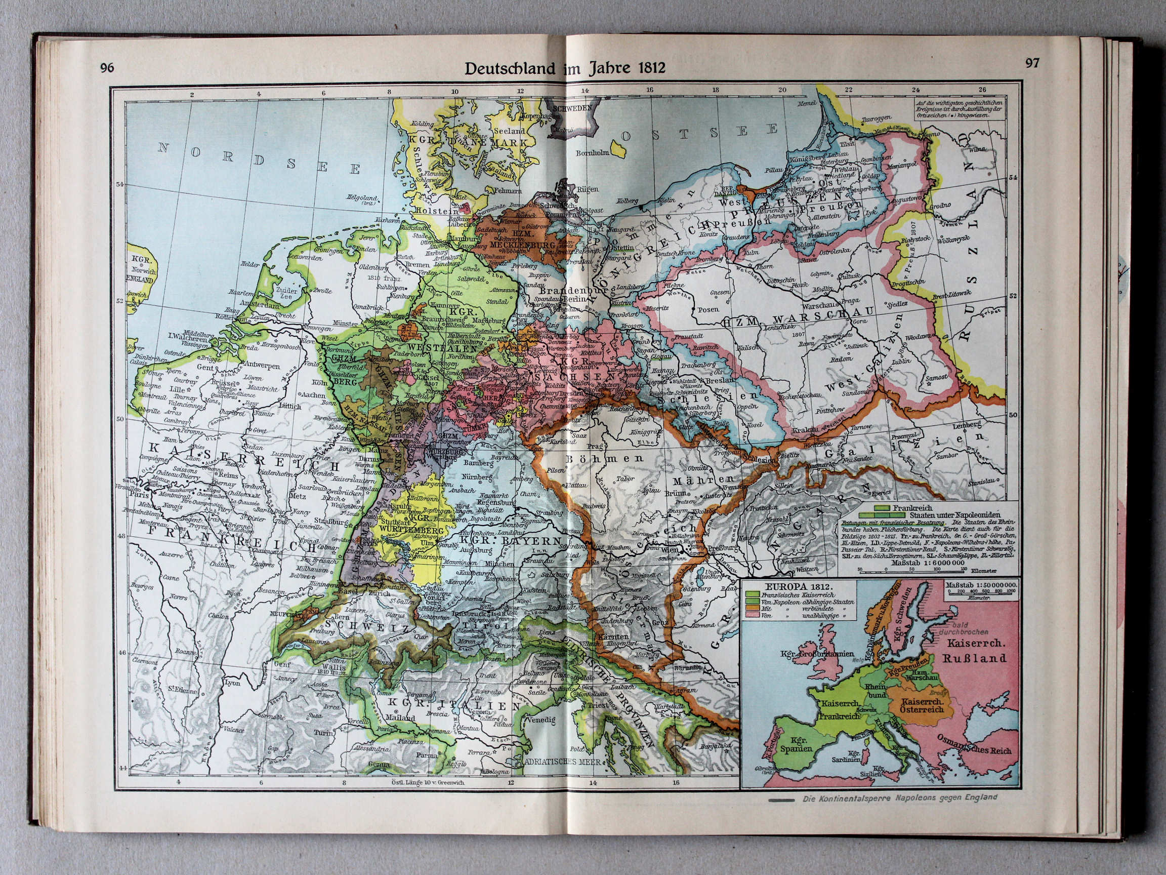
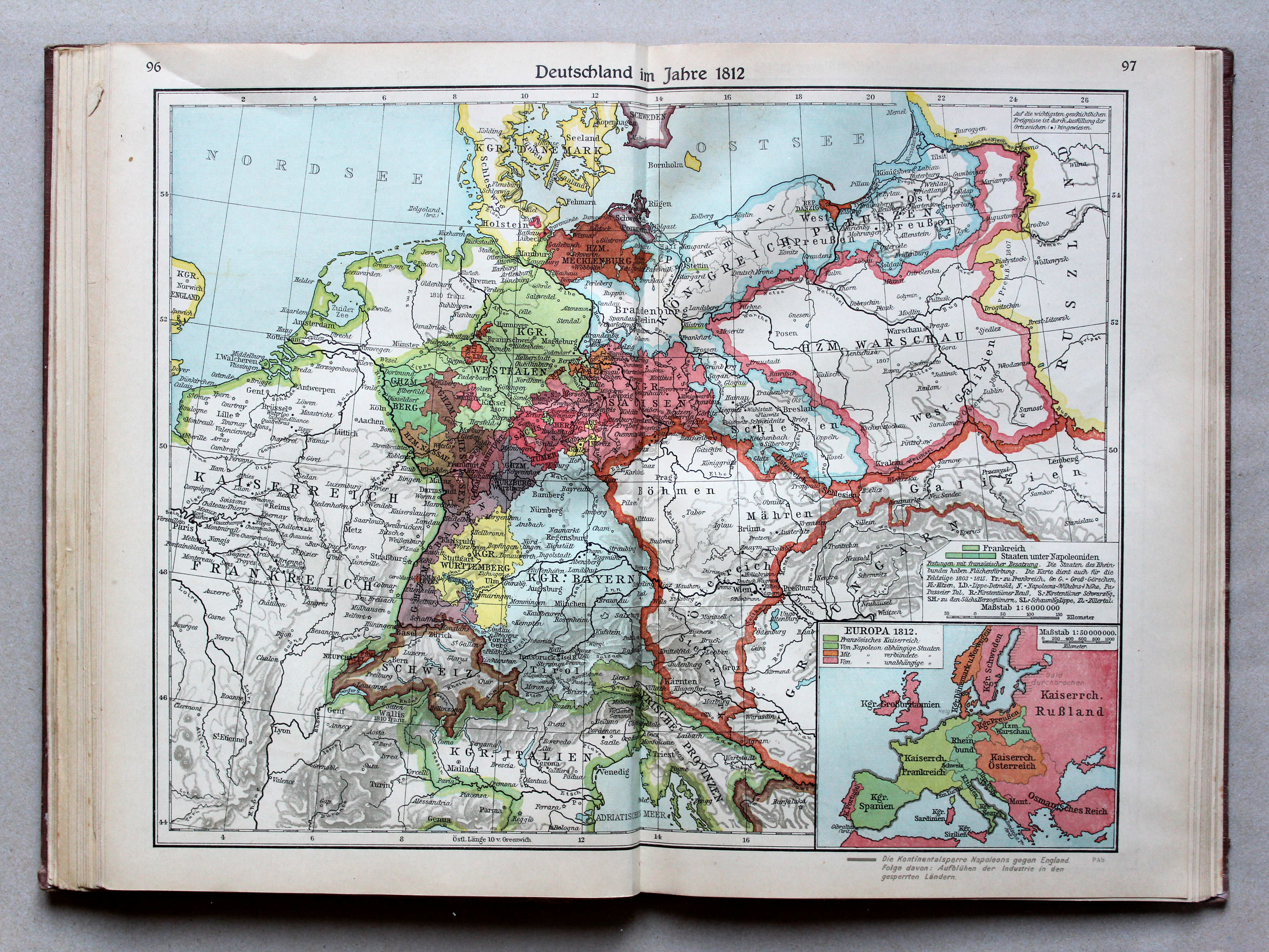
96.97. Deutschland im Jahre 1812 XL
Duitsland in 1812 / Germany in 1812
 Putzgers Historischer Schul-Atlas, Große Ausgabe, 1931/33
96.97. Deutschland im Jahre 1812 XL
Duitsland in 1812 / Germany in 1812
 Putzgers Historischer Schul-Atlas, Große Ausgabe, 1934
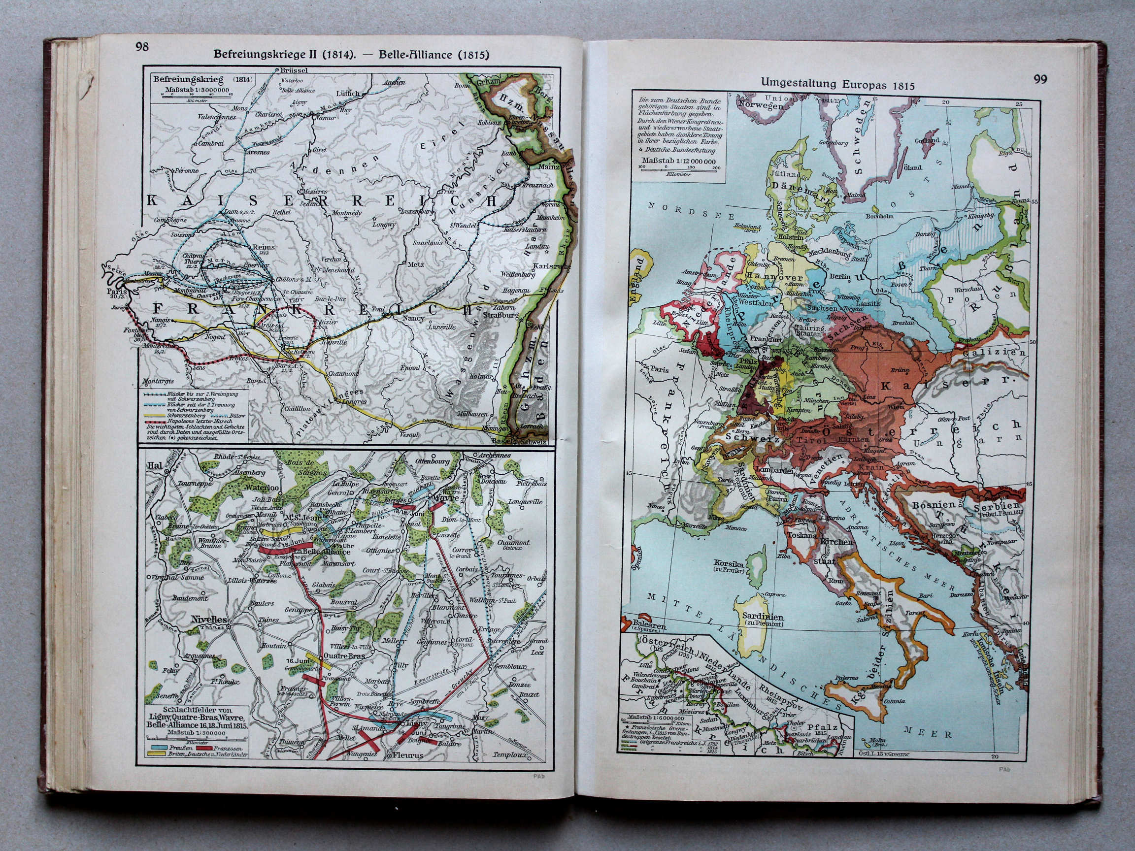
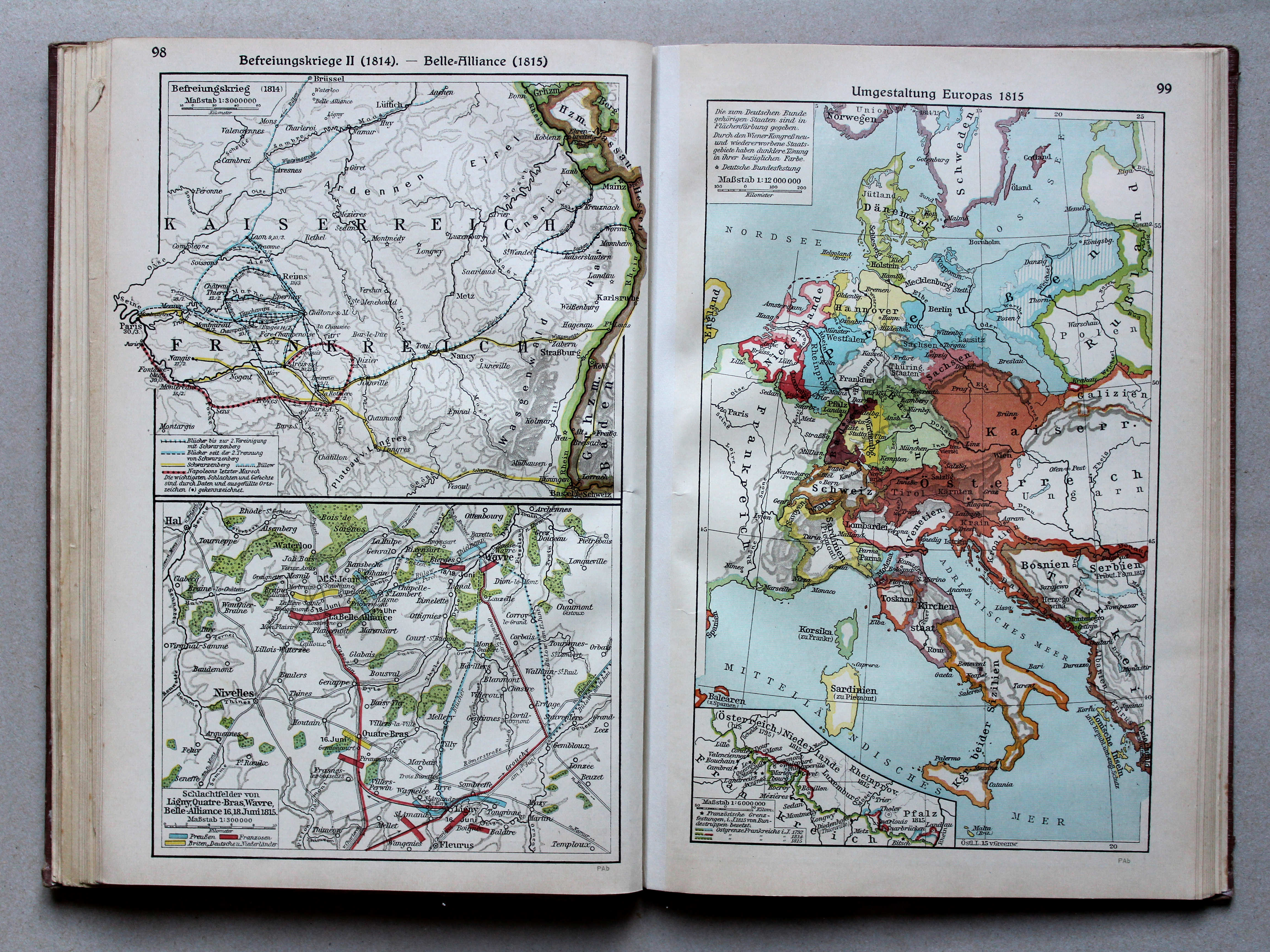
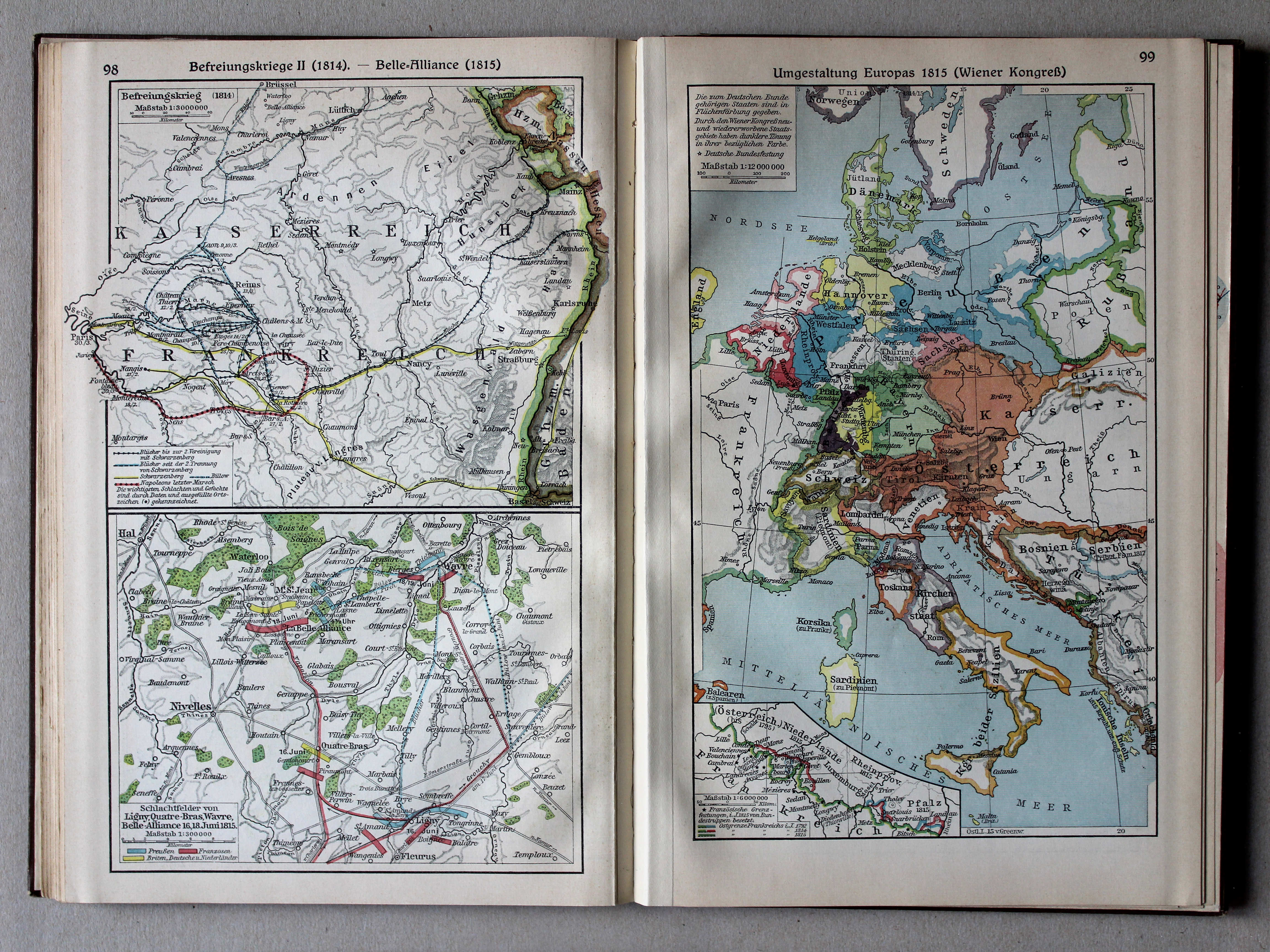
98. Befreiungskrieg II (1814) – Belle-Alliance (1815) XL
Duitse bevrijdingsoorlog II (1814). Belle-Alliance (1815) / German Campaign II (1814). Belle-Alliance (1815)
99. Umgestaltung Europas 1815 XL
Staatkundige herordening van Europa in 1815 / Political transformation of Europe in 1815
 Putzgers Historischer Schul-Atlas, Große Ausgabe, 1931/33
98. Befreiungskrieg II (1814) – Belle-Alliance (1815) XL
Duitse bevrijdingsoorlog II (1814). Belle-Alliance (1815) / German Campaign II (1814). Belle-Alliance (1815)
99. Umgestaltung Europas 1815 (Wiener Kongreß) XL
Staatkundige herordening van Europa in 1815 (Congres van Wenen) / Political transformation of Europe in 1815 (Congress of Vienna)
 Putzgers Historischer Schul-Atlas, Große Ausgabe, 1934
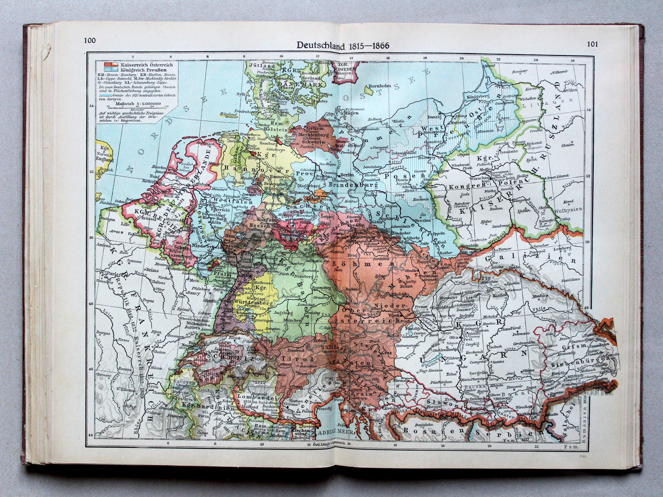
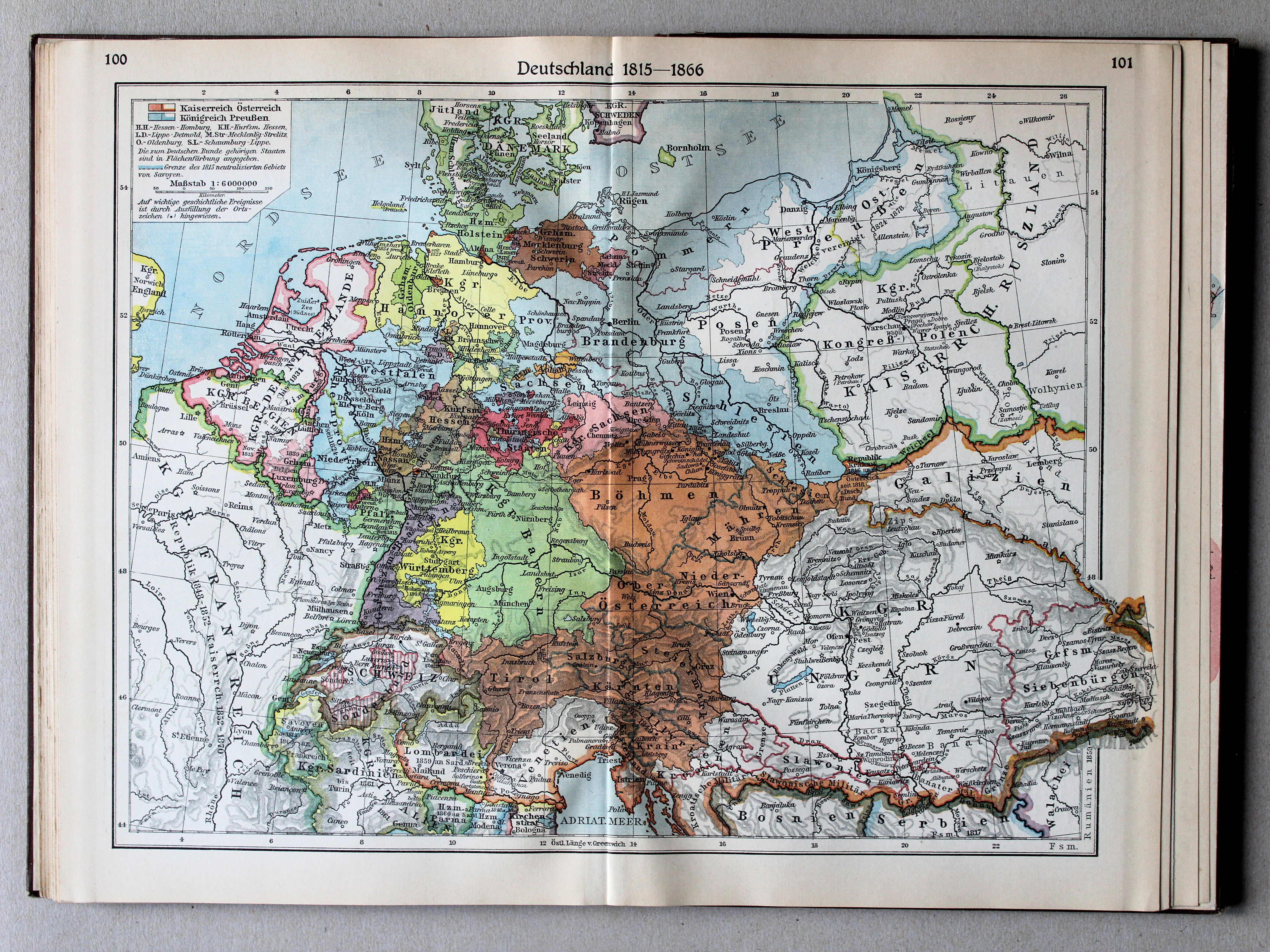
100.101. Deutschland 1815-1866 XL
Duitsland 1815-1866 / Germany 1815-1866
 Putzgers Historischer Schul-Atlas, Große Ausgabe, 1931/33
100.101. Deutschland 1815-1866 XL
Duitsland 1815-1866 / Germany 1815-1866
 Putzgers Historischer Schul-Atlas, Große Ausgabe, 1934
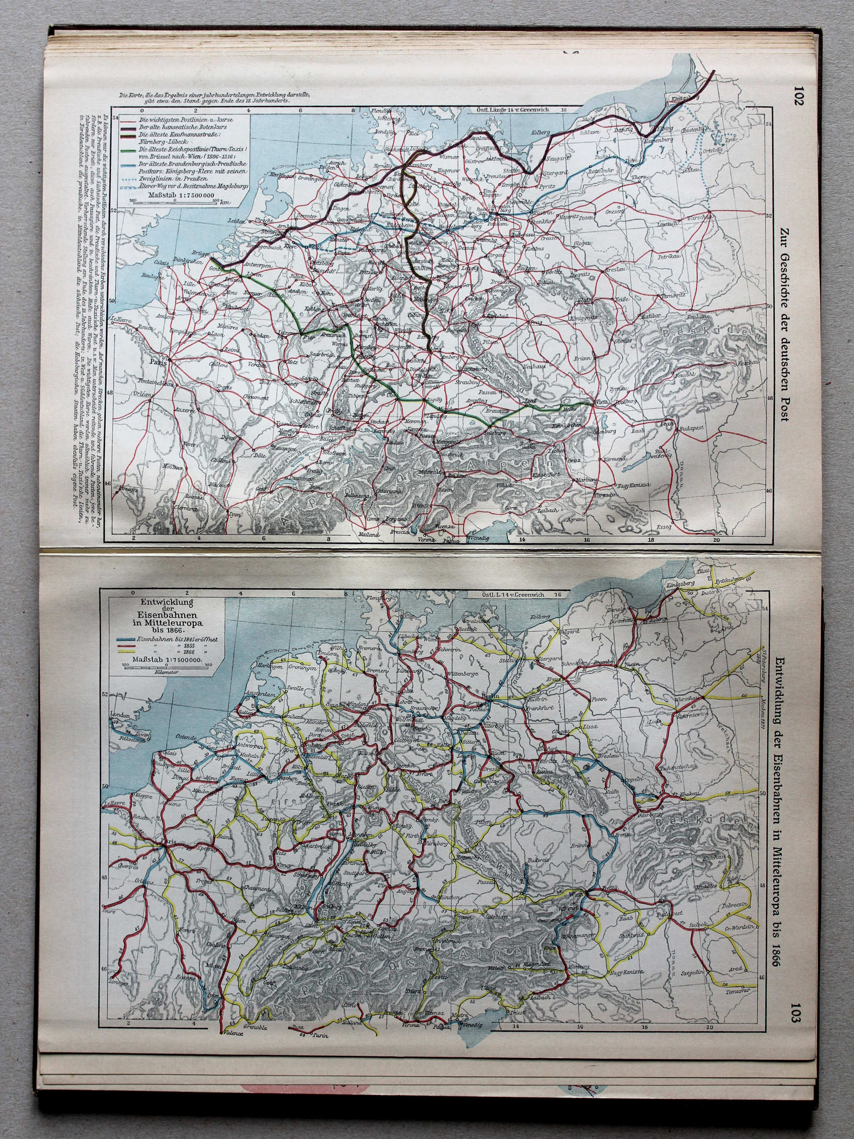
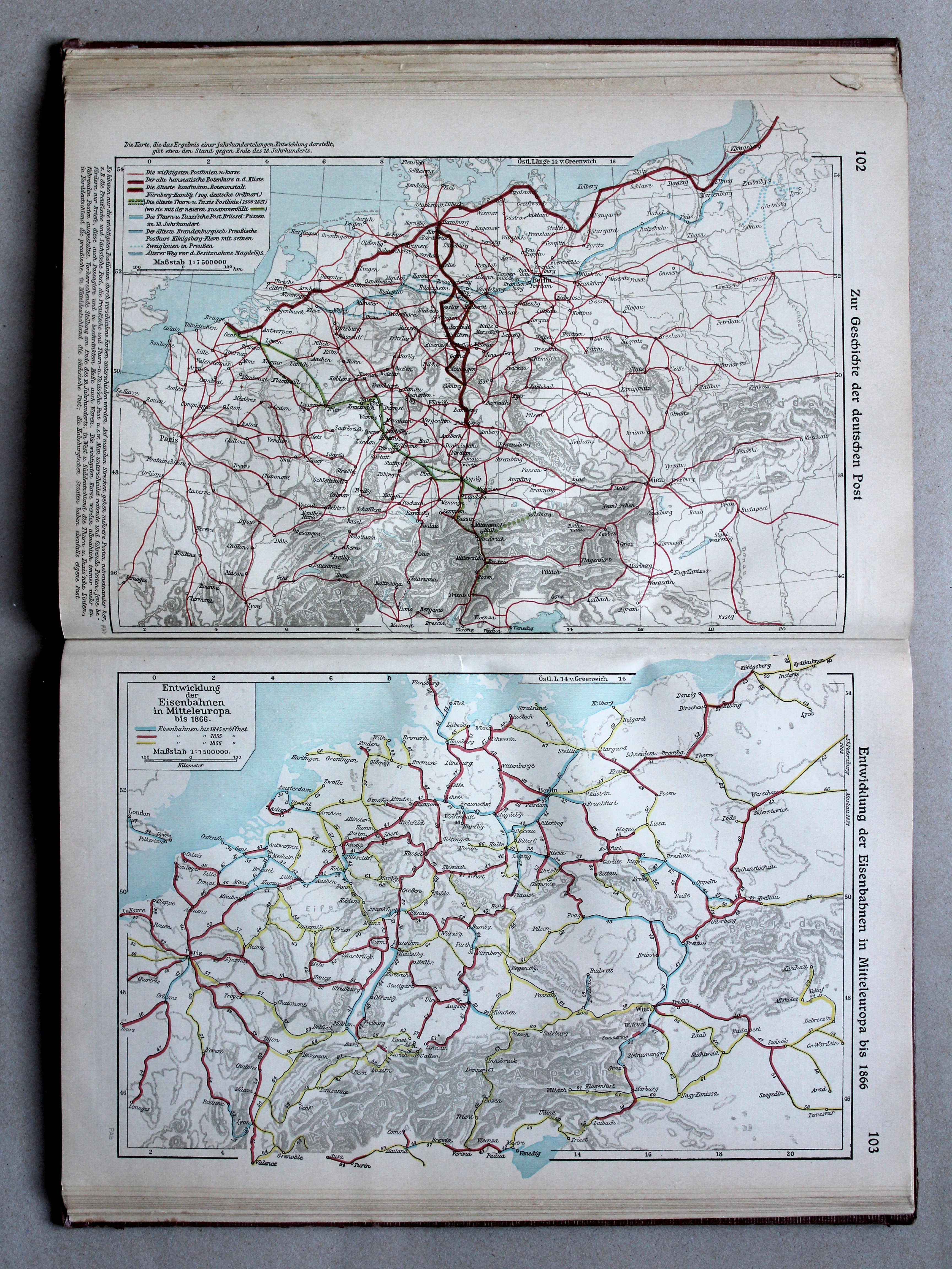
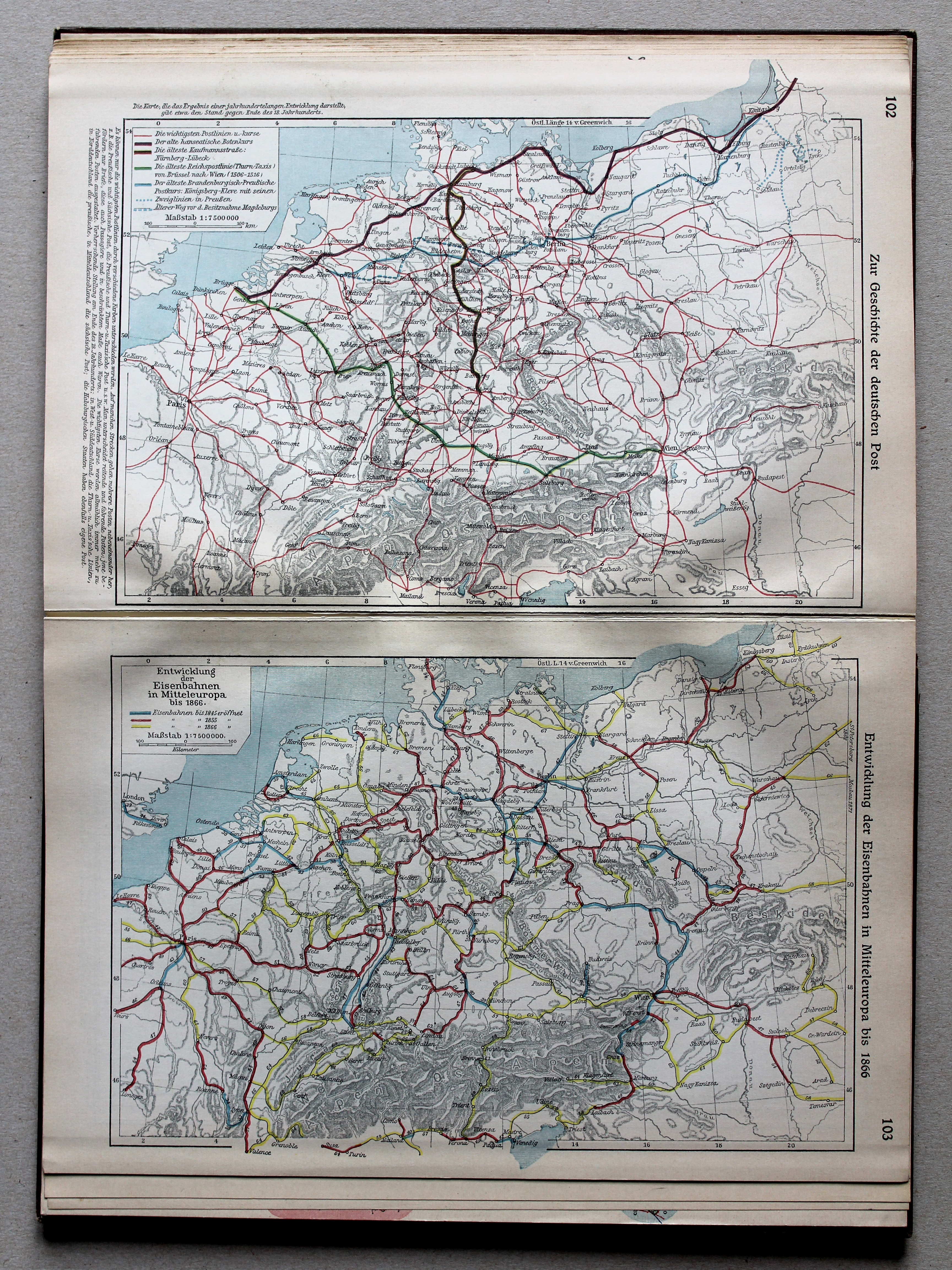
102. Zur Geschichte der deutschen Post XL
Geschiedenis van de Duitse Post / History of the German Mail
103. Entwicklung der Eisenbahnen in Mitteleuropa bis 1866 XL
Ontwikkeling van de spoorwegen in Midden-Europa tot 1866 / Development of railways in Central Europe until 1866
 Putzgers Historischer Schul-Atlas, Große Ausgabe, 1931/33
102. Zur Geschichte der deutschen Post XL
Geschiedenis van de Duitse Post / History of the German Mail
103. Entwicklung der Eisenbahnen in Mitteleuropa bis 1866 XL
Ontwikkeling van de spoorwegen in Midden-Europa tot 1866 / Development of railways in Central Europe until 1866
 Putzgers Historischer Schul-Atlas, Große Ausgabe, 1934
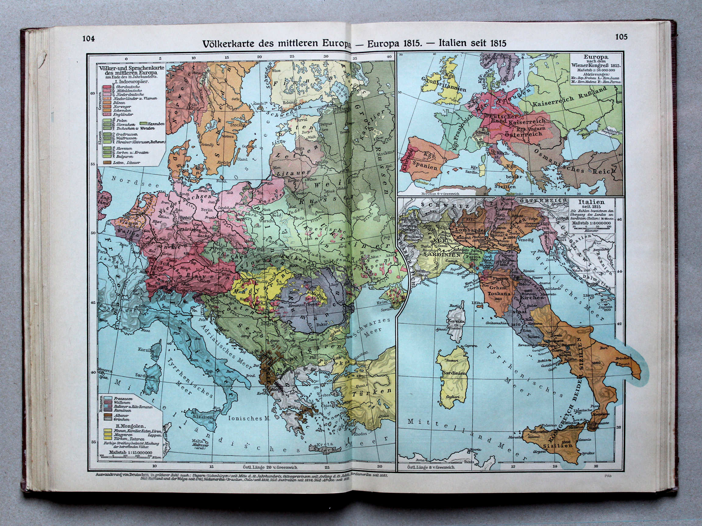
104.105. Völkerkarte des mittleren Europa – Europa 1815 – Italien seit 1815 XL
Etnografische kaart van Midden-Europa. Europa in 1815. Italië vanaf 1815 / Ethnographic map of Central Europe. Europe in 1815. Italy from 1815
 Putzgers Historischer Schul-Atlas, Große Ausgabe, 1931/33
104.105. Völkerkarte des mittleren Europa – Europa 1815 – Italien seit 1815 XL
Etnografische kaart van Midden-Europa. Europa in 1815. Italië vanaf 1815 / Ethnographic map of Central Europe. Europe in 1815. Italy from 1815
 Putzgers Historischer Schul-Atlas, Große Ausgabe, 1934
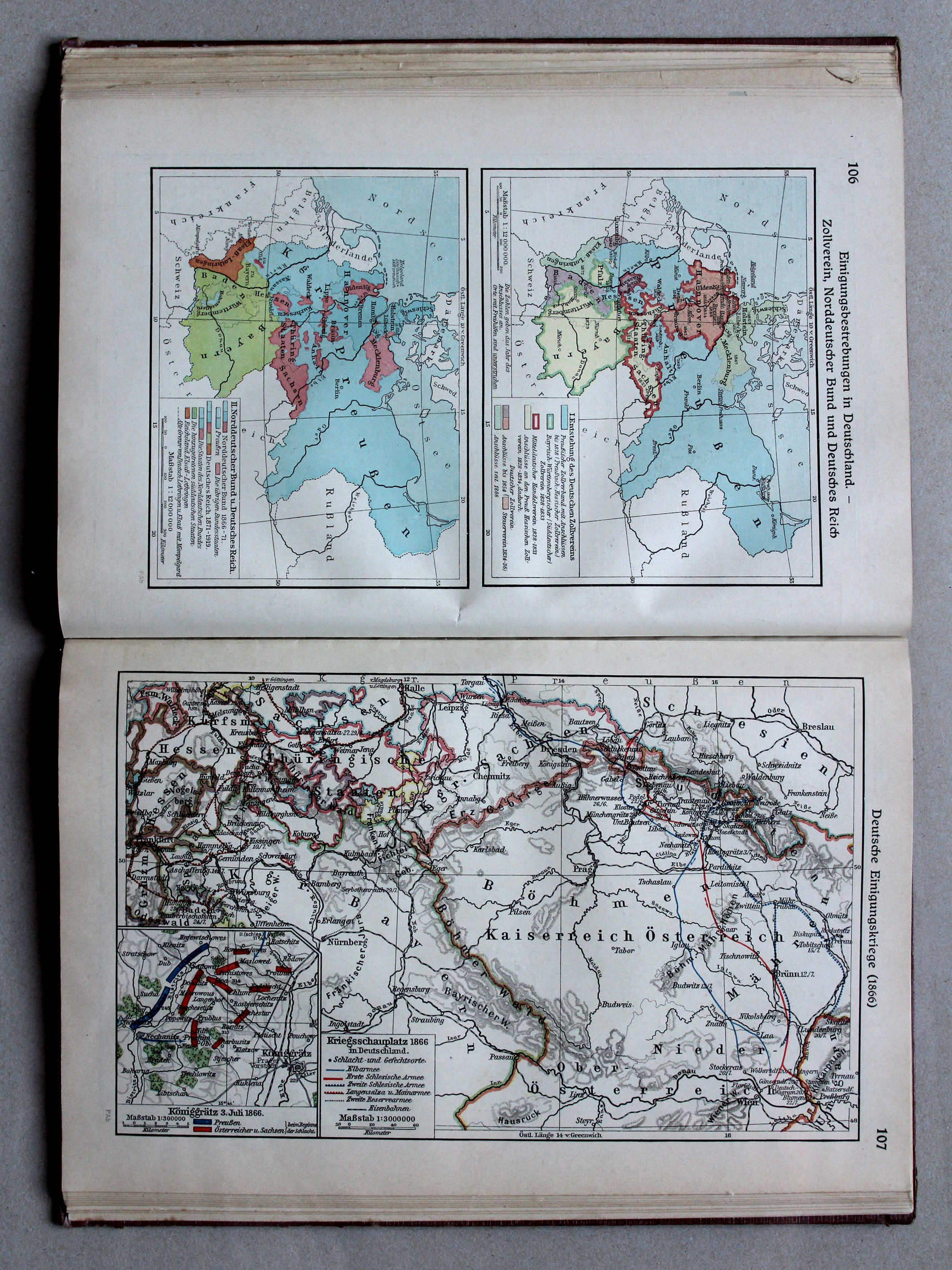
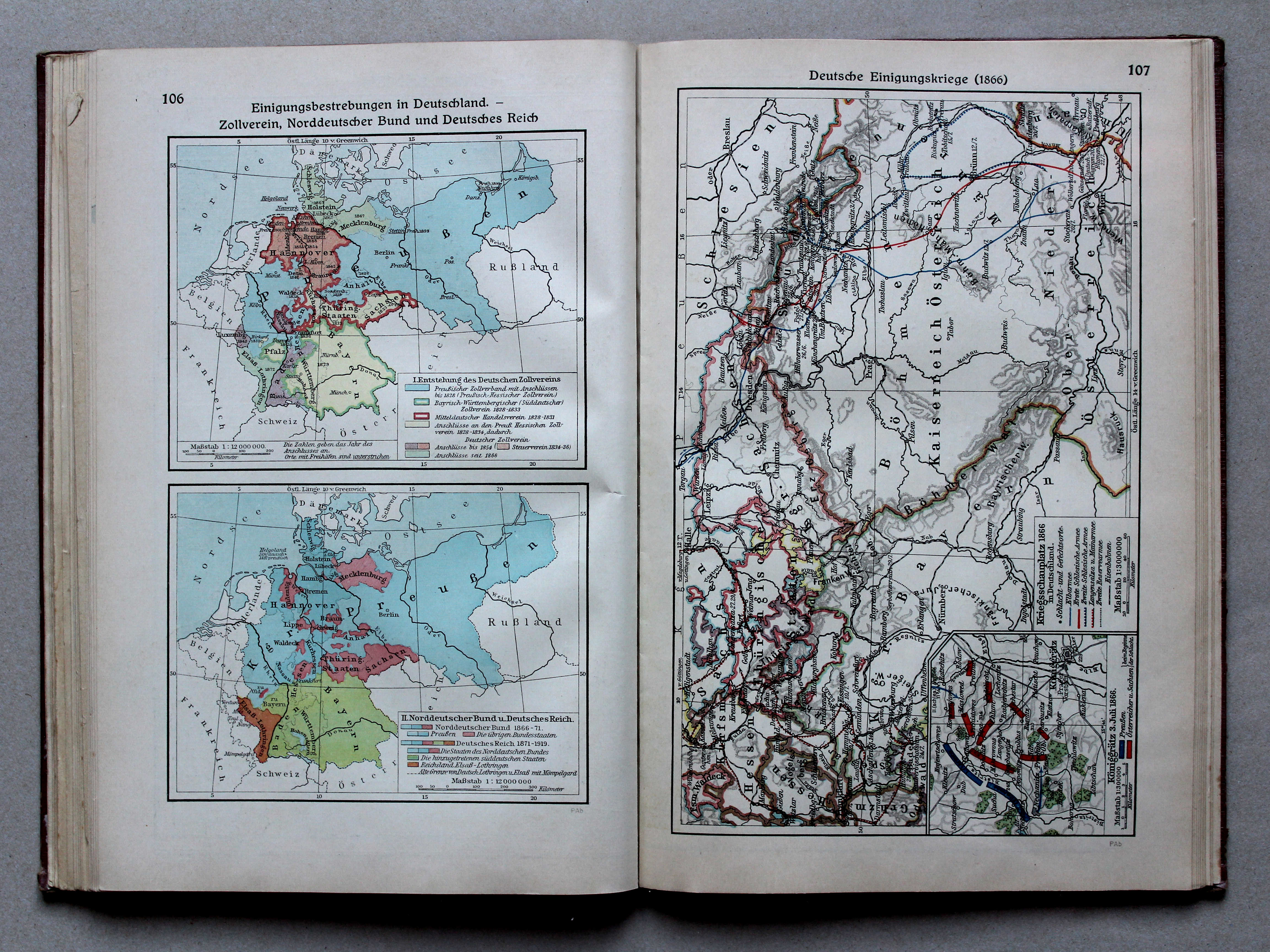
106. Einigungsbestrebungen in Deutschland – Zollverein, Norddeutscher Bund und Deutsches Reich XL
Duitse eenwording. Douane-unie, de Noord-Duitse Bond, het Duitse Rijk / German unification. Customs Union, North German Confederation, German Empire
 Putzgers Historischer Schul-Atlas, Große Ausgabe, 1931/33
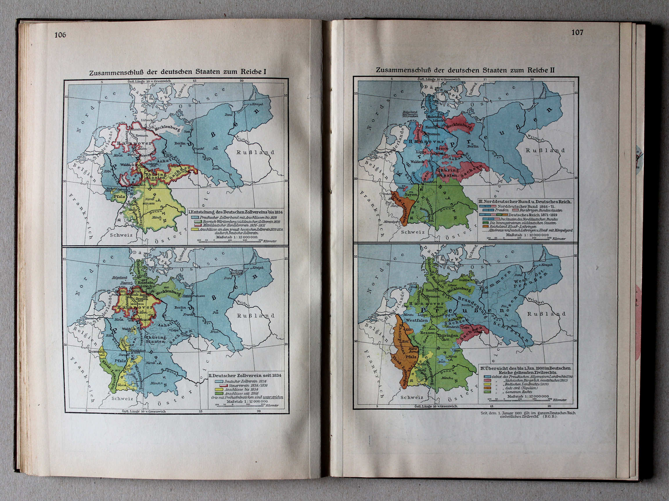
106. Zusammenschluß der deutschen Staaten zum Reiche I XL
Duitse eenwording I / German unification I
107. Zusammenschluß der deutschen Staaten zum Reiche II XL
Duitse eenwording II / German unification II
 Putzgers Historischer Schul-Atlas, Große Ausgabe, 1934
107. Deutsche Einheitskriege (1866) XL
Duitse eenwording (1866) / German unification (1866)
 Putzgers Historischer Schul-Atlas, Große Ausgabe, 1931/33
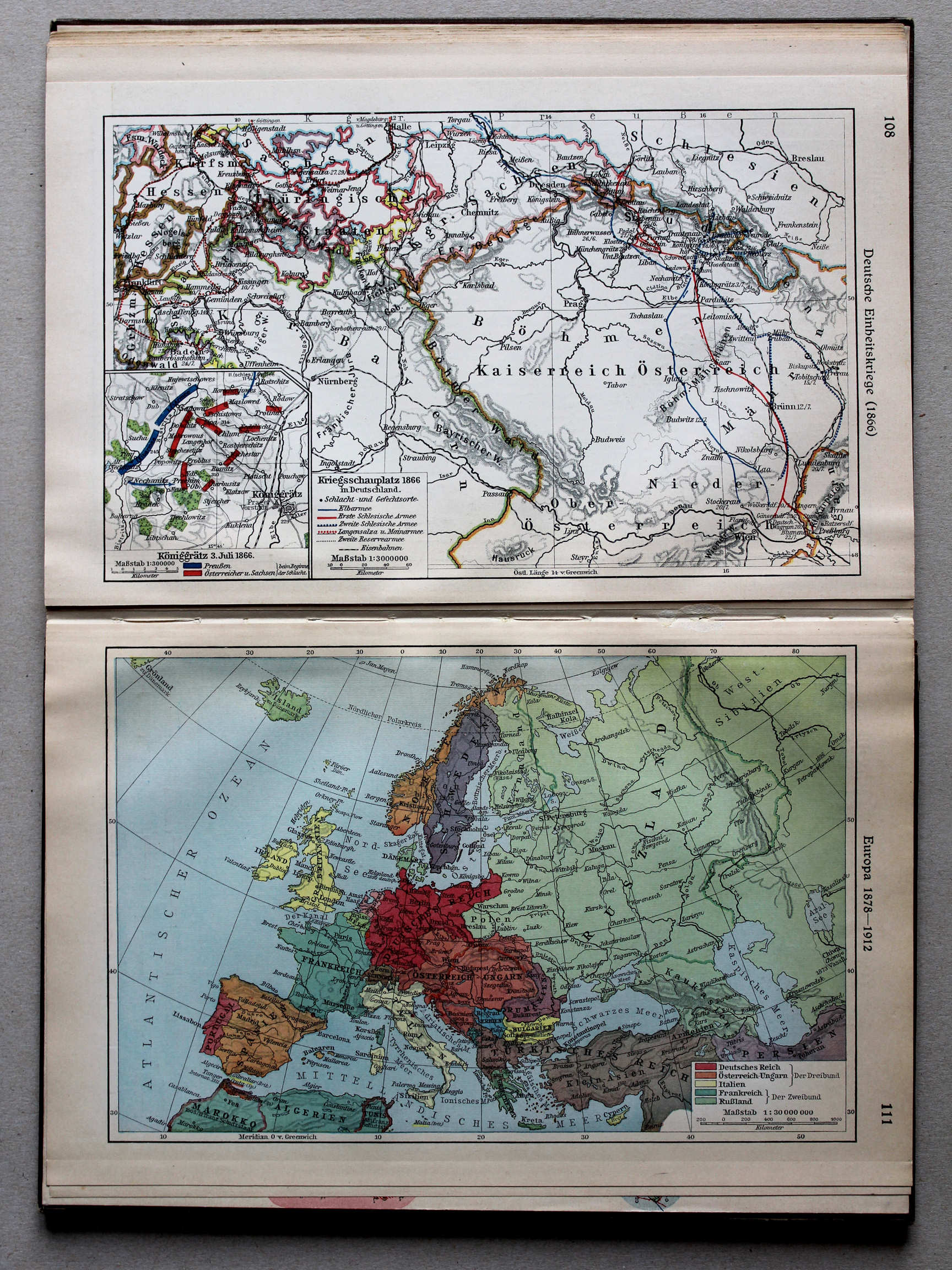
108. Deutsche Einheitskriege (1866) XL
Duitse eenwording (1866) / German unification (1866)
111. Europa 1878-1912 XL
Europa 1878-1912 / Europe 1878-1912
 Putzgers Historischer Schul-Atlas, Große Ausgabe, 1934
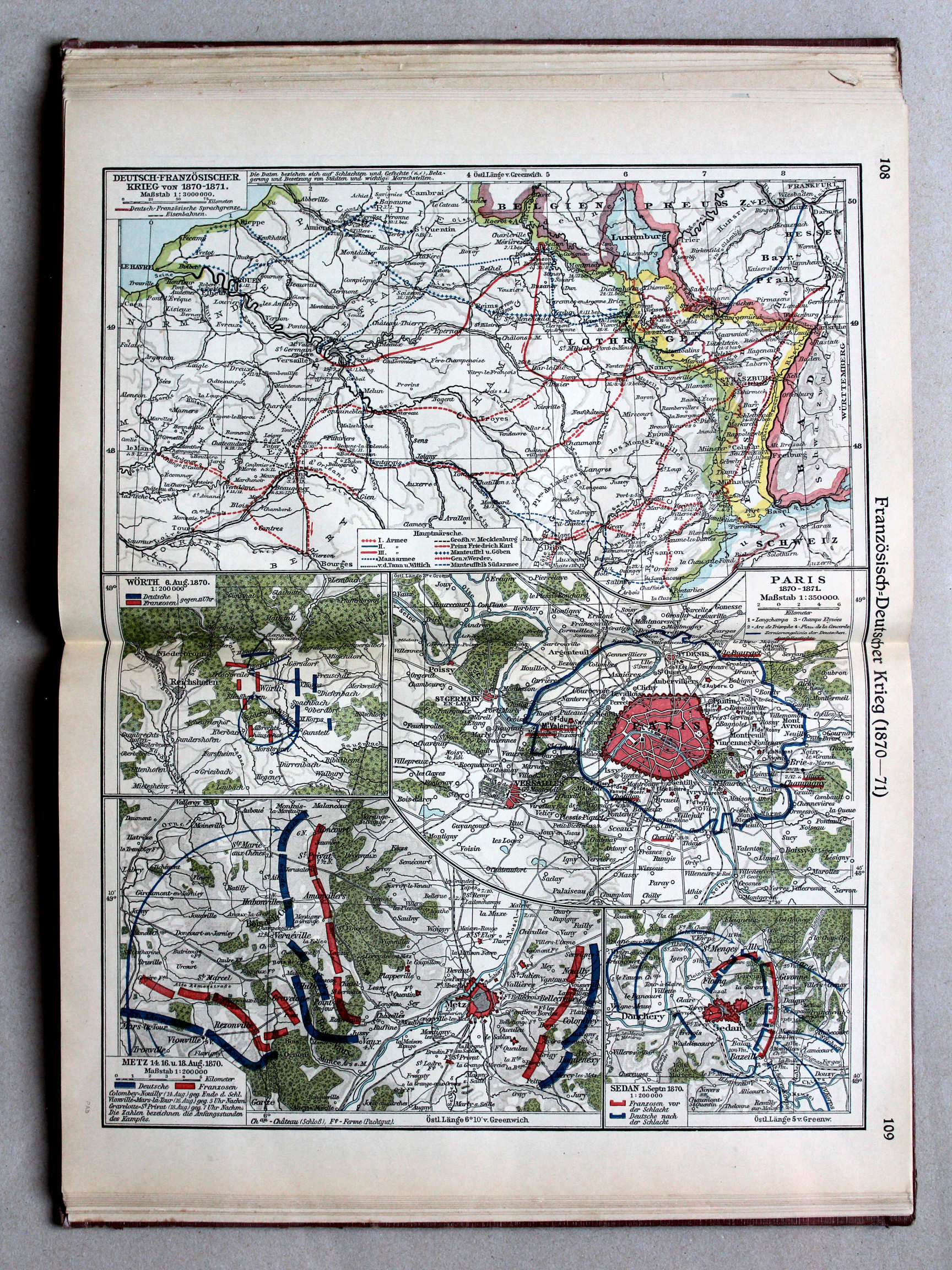
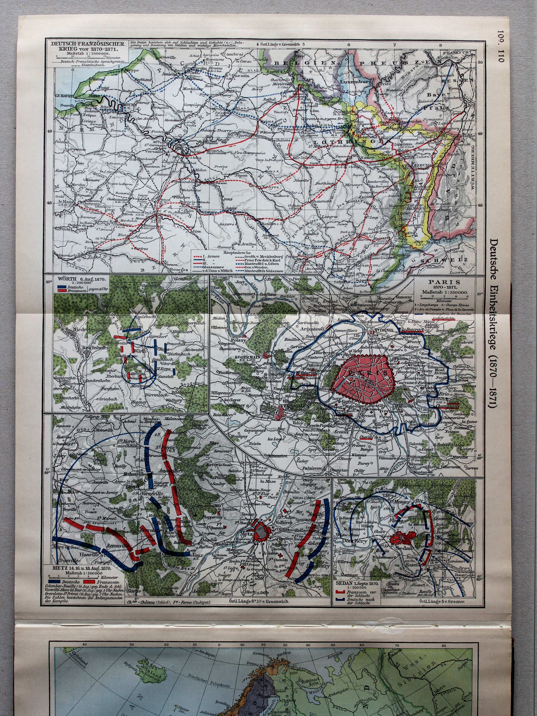
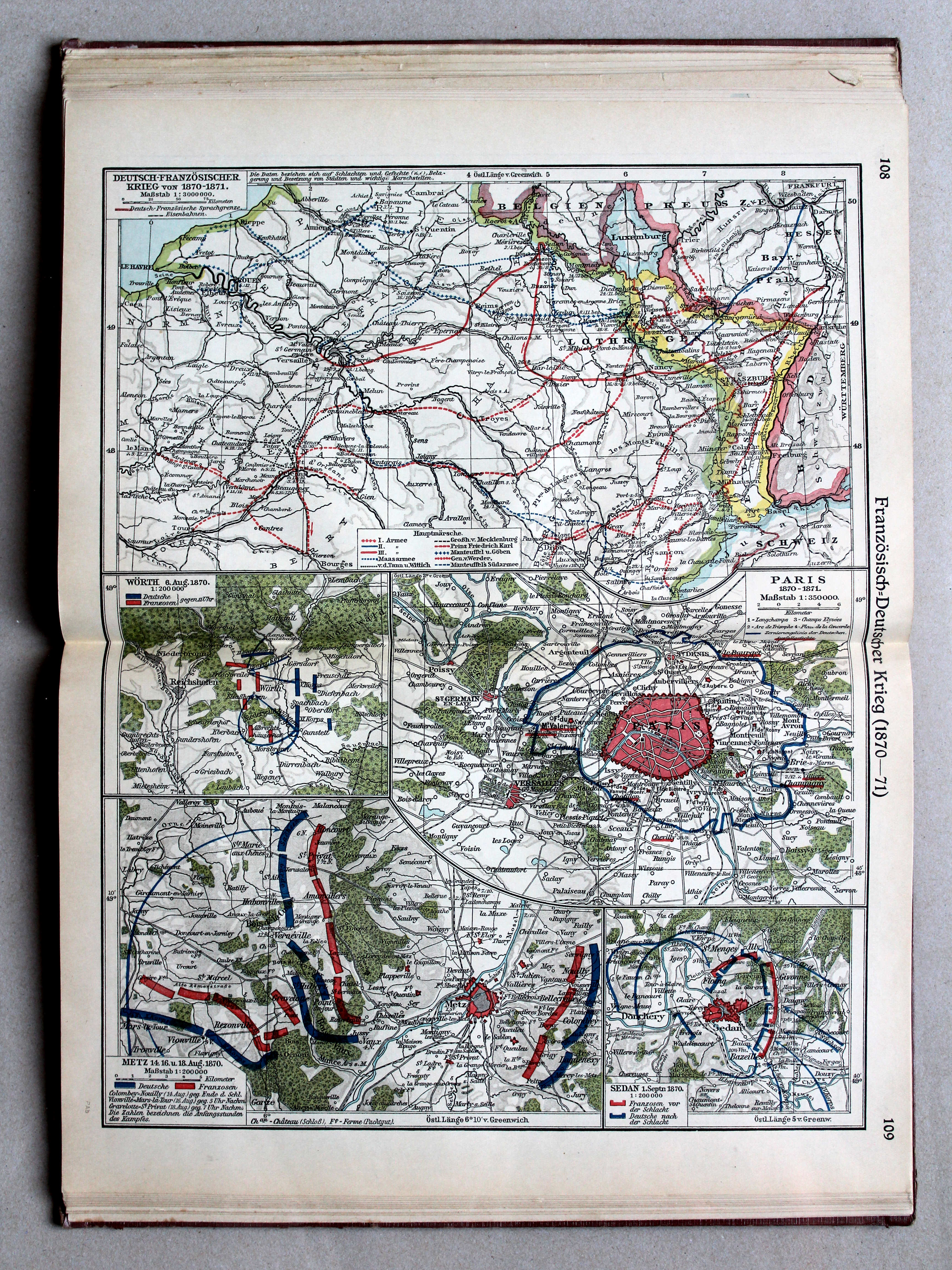
108.109. Französisch-Deutscher Krieg (1870-1871) XL
Frans-Duitse Oorlog (1870-1871) / Franco-Prussian War (1870-1871)
 Putzgers Historischer Schul-Atlas, Große Ausgabe, 1931/33
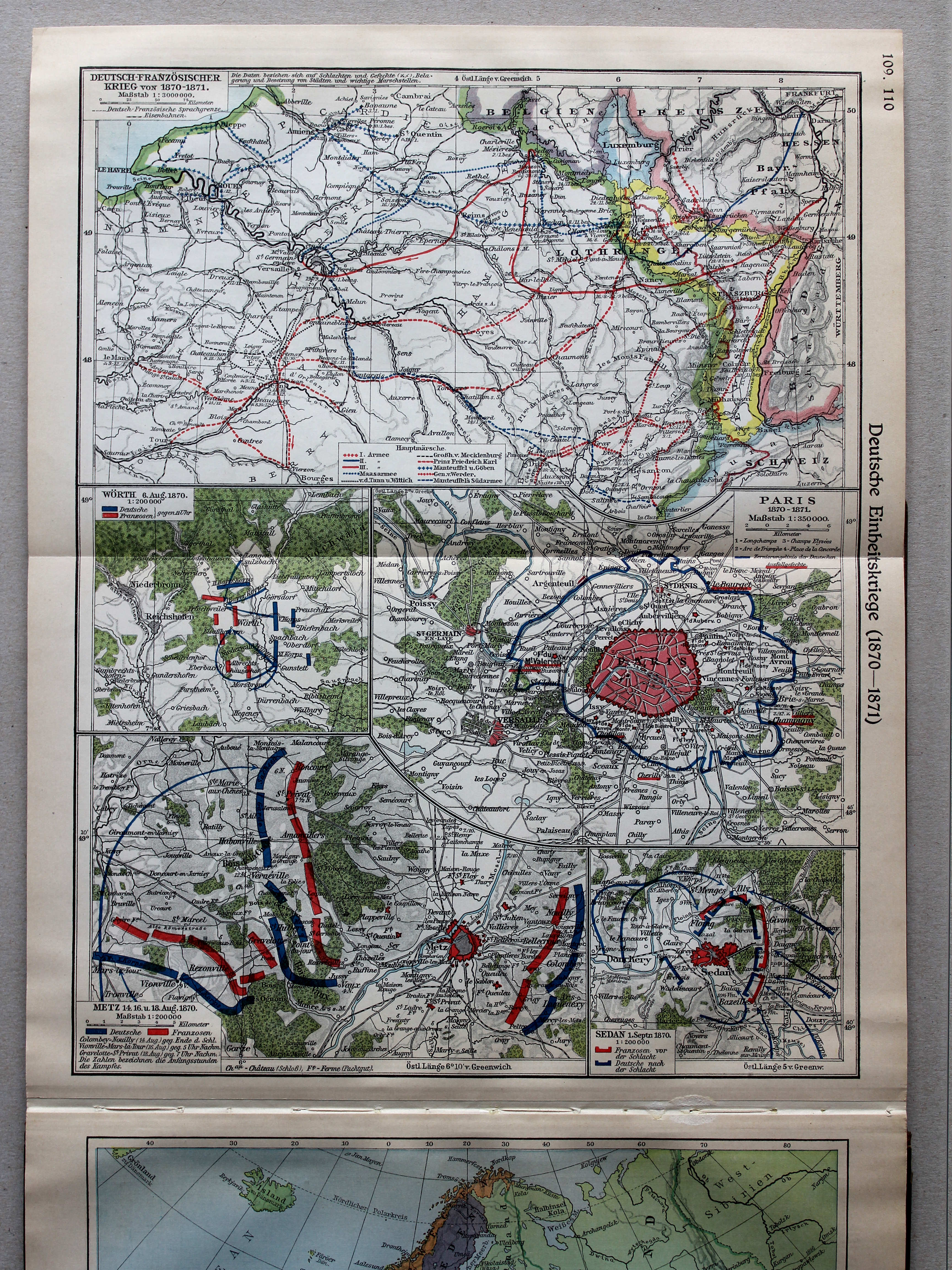
109.110. Deutsche Einheitskriege (1870-1871) XL
Duitse eenwording (1870-1871) / German unification (1870-1871)
 Putzgers Historischer Schul-Atlas, Große Ausgabe, 1934
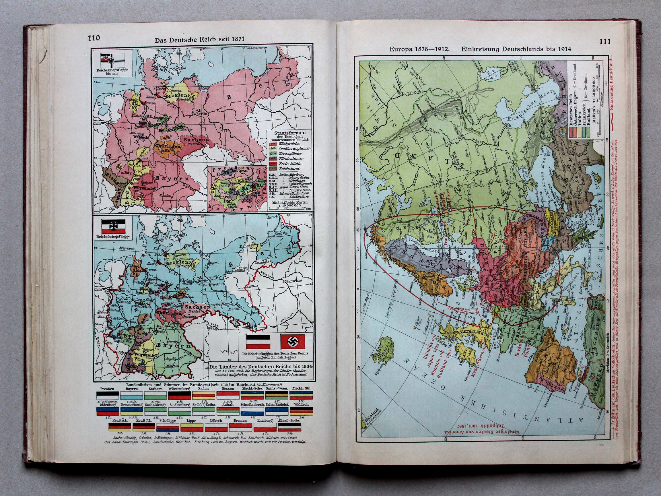
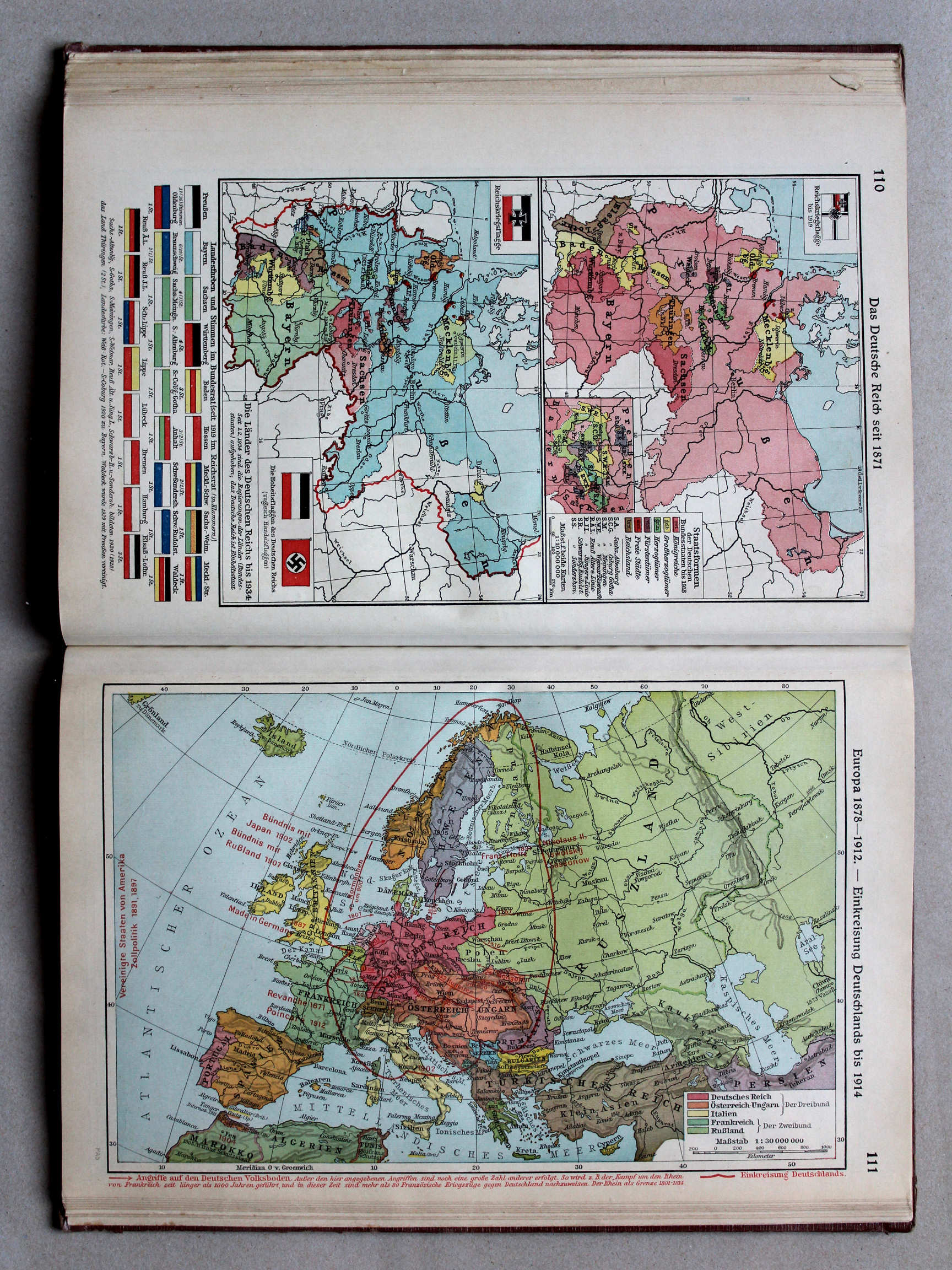
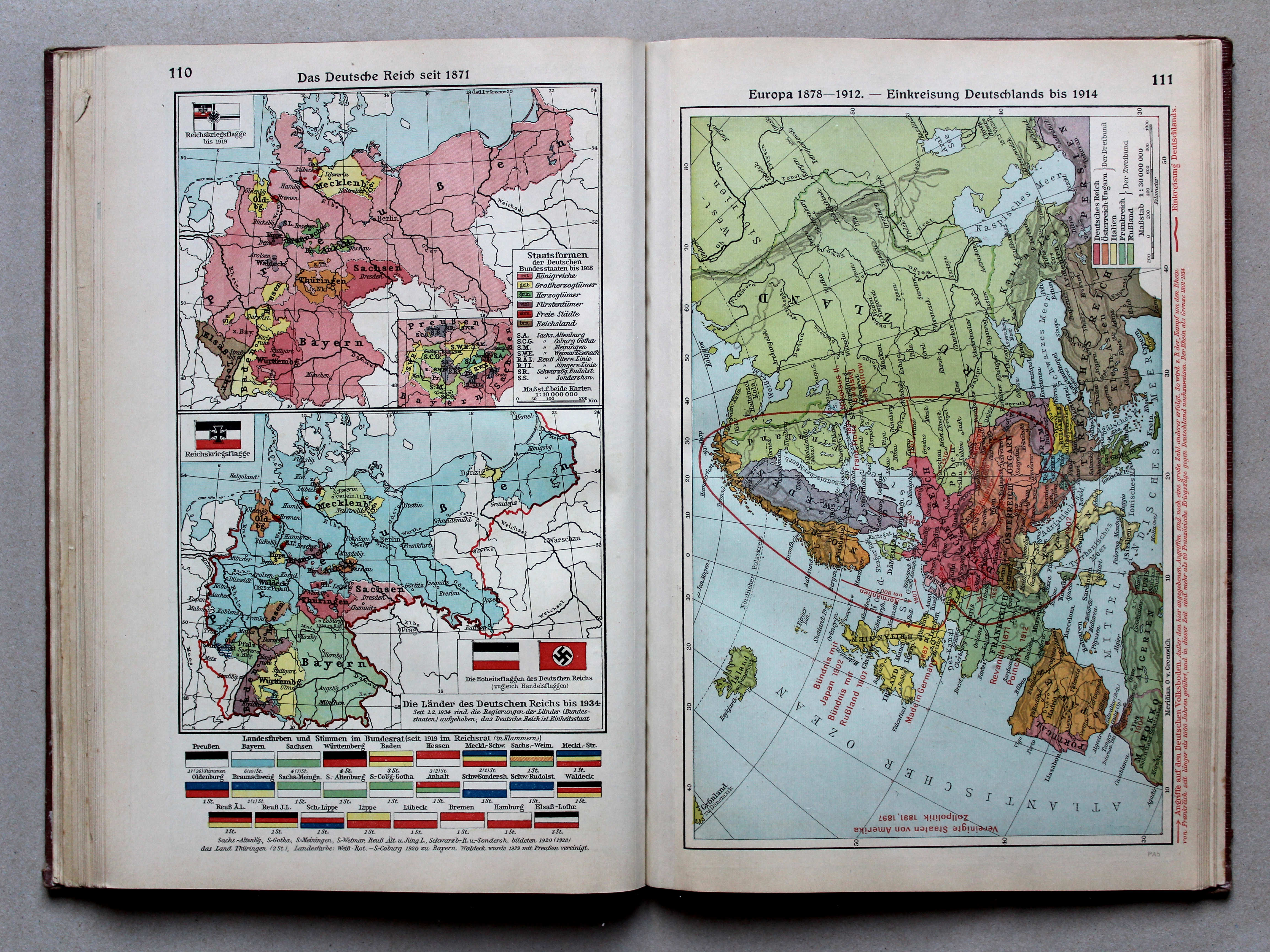
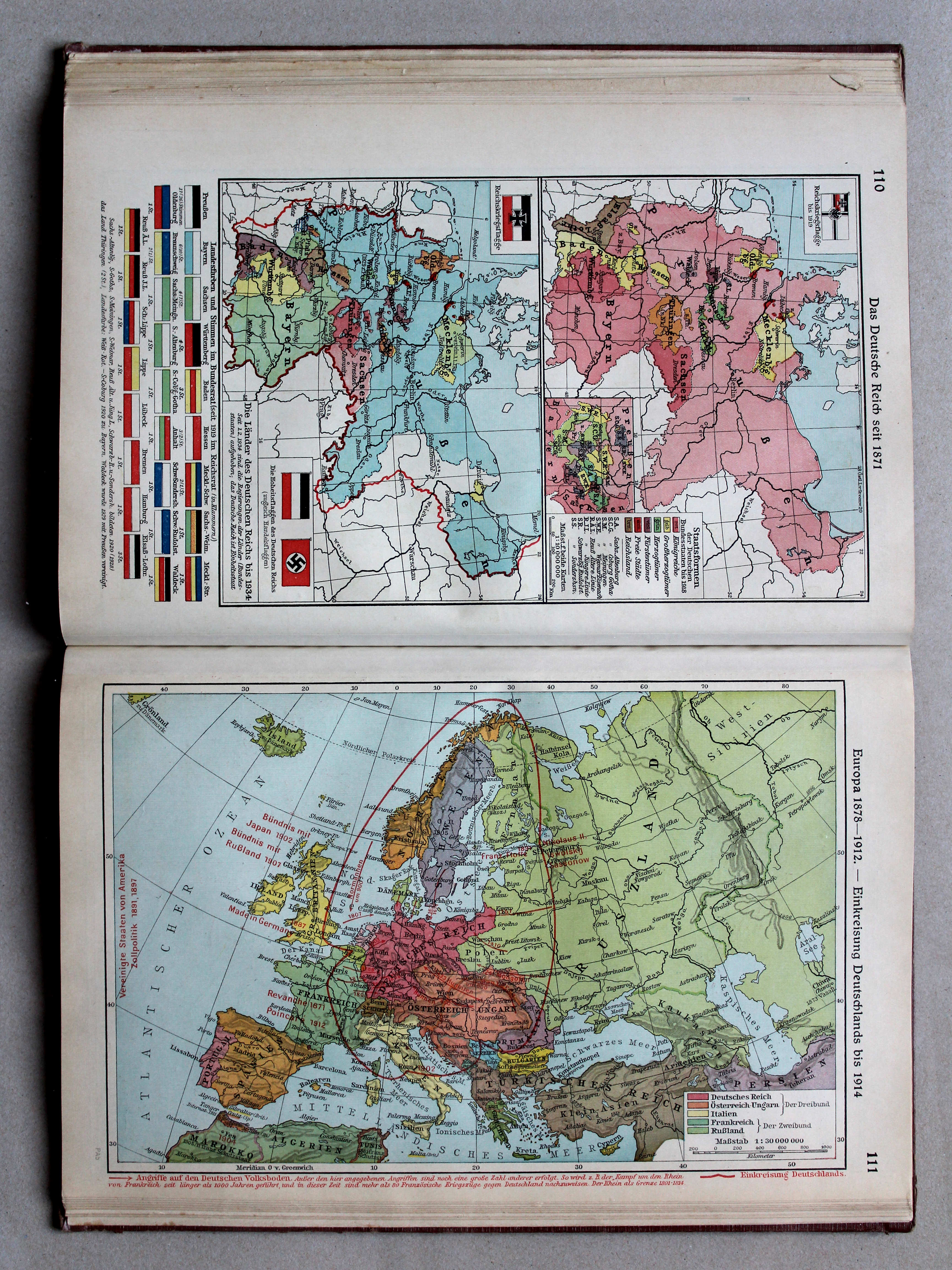
110. Das Deutsche Reich seit 1871 XL
Het Duitse Rijk vanaf 1871 / The German Empire (Reich) from 1871
Putzgers Historischer Schul-Atlas, Große Ausgabe, 1931/33
geen overeenkomstige kaart / no corresponding map
 Putzgers Historischer Schul-Atlas, Große Ausgabe, 1934
111. Europa 1878-1912 – Einkreisung Deutschlands bis 1914 XL
Europa 1878-1912. Omsingeling van Duitsland tot 1914 / Europe 1878-1912. Encirclement of Germany unti 1914
Putzgers Historischer Schul-Atlas, Große Ausgabe, 1931/33
108. Deutsche Einheitskriege (1866) XL
Duitse eenwording (1866) / German unification (1866)
111. Europa 1878-1912 XL
Europa 1878-1912 / Europe 1878-1912
 Putzgers Historischer Schul-Atlas, Große Ausgabe, 1934
geen overeenkomstige kaart / no corresponding map
 Putzgers Historischer Schul-Atlas, Große Ausgabe, 1931/33
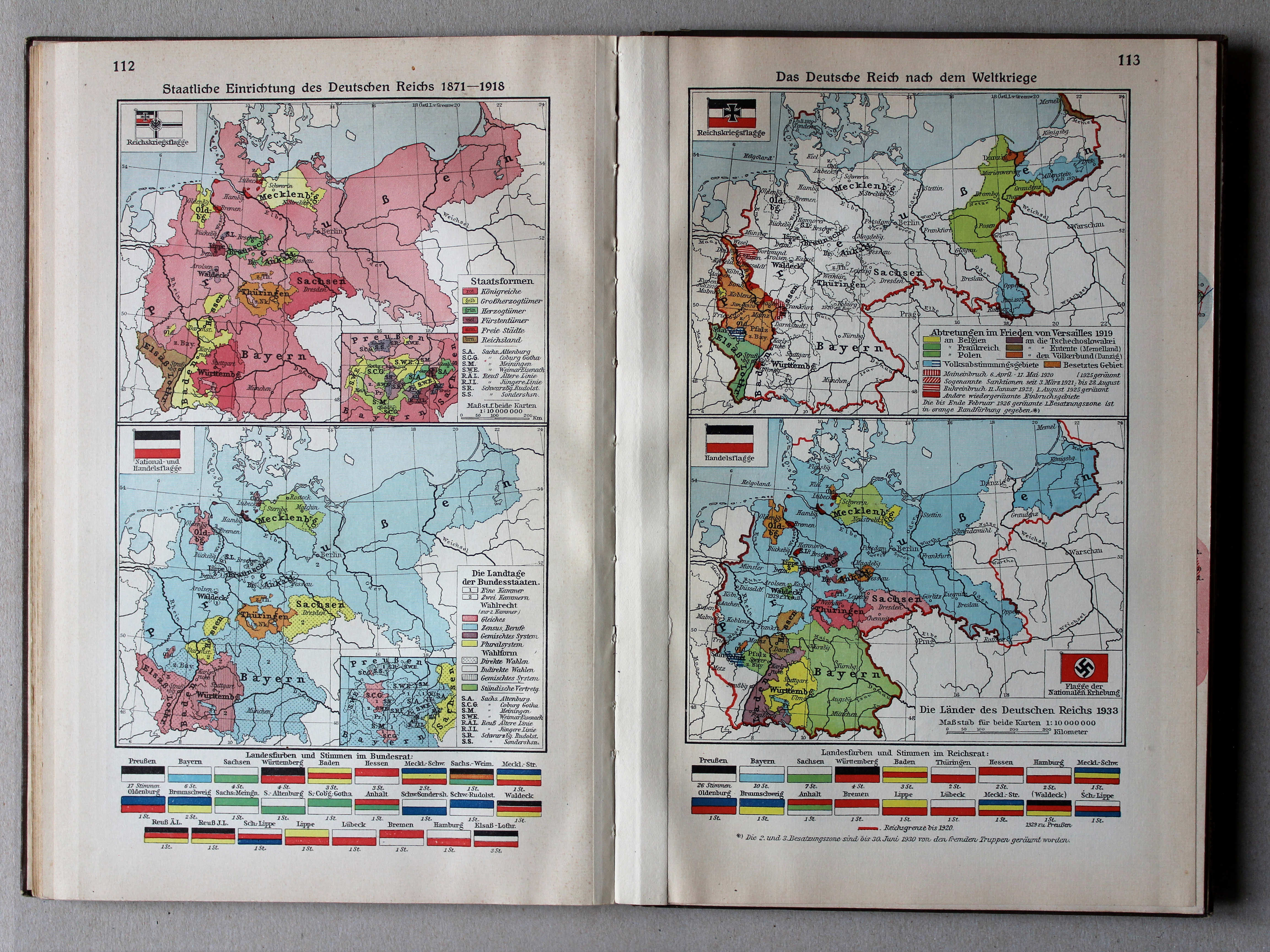
112. Staatliche Einrichtung des Deutschen Reichs 1871-1918 XL
Staatsinrichting van het Duitse Rijk 1871-1918 / Polity of the German Empire 1871-1918
113. Das Deutsche Reich nach dem Weltkriege XL
Het Duitse Rijk na de Wereldoorlog / The German Empire after the World War
Putzgers Historischer Schul-Atlas, Große Ausgabe, 1934
geen overeenkomstige kaart / no corresponding map
 Putzgers Historischer Schul-Atlas, Große Ausgabe, 1931/33
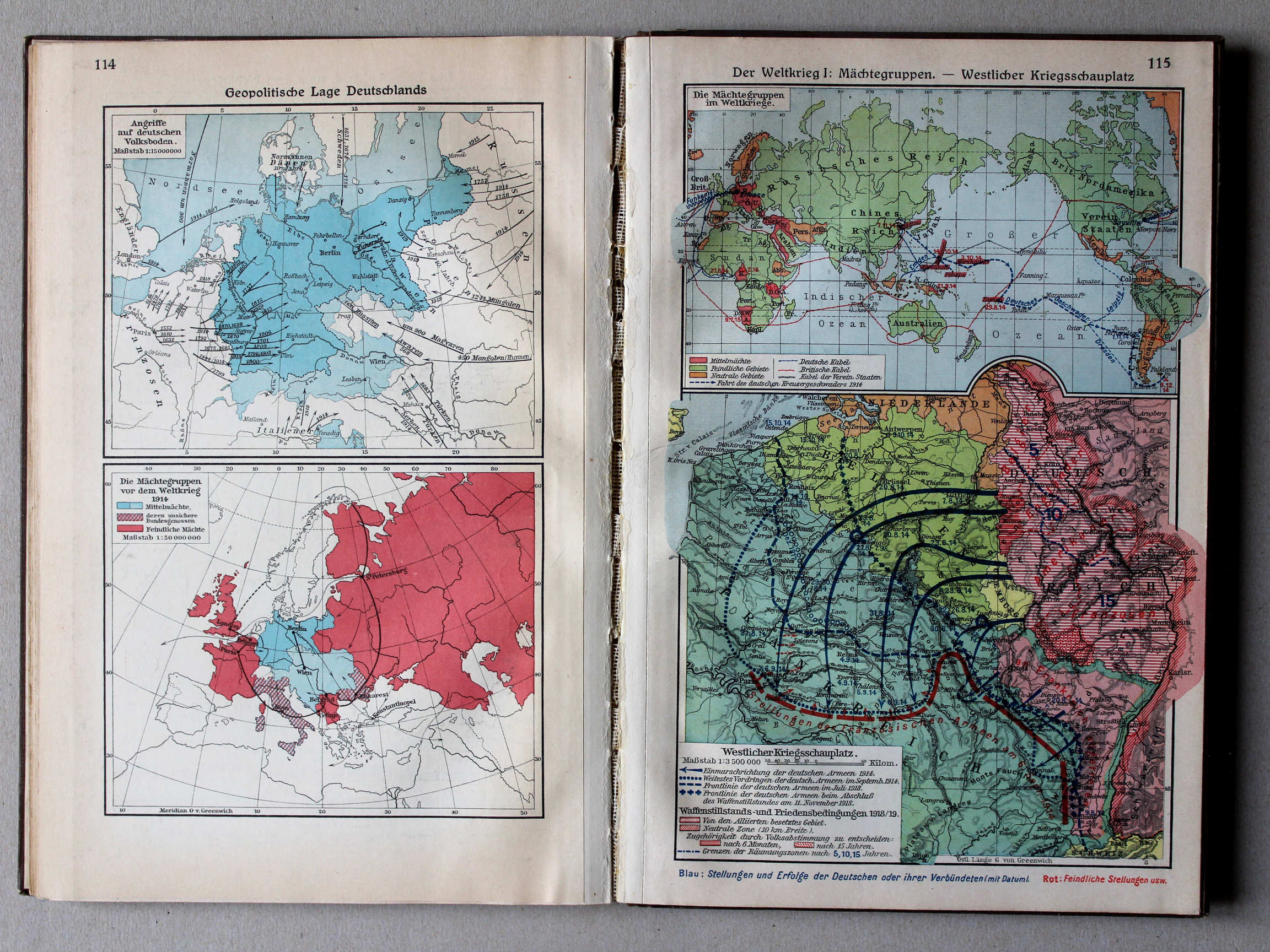
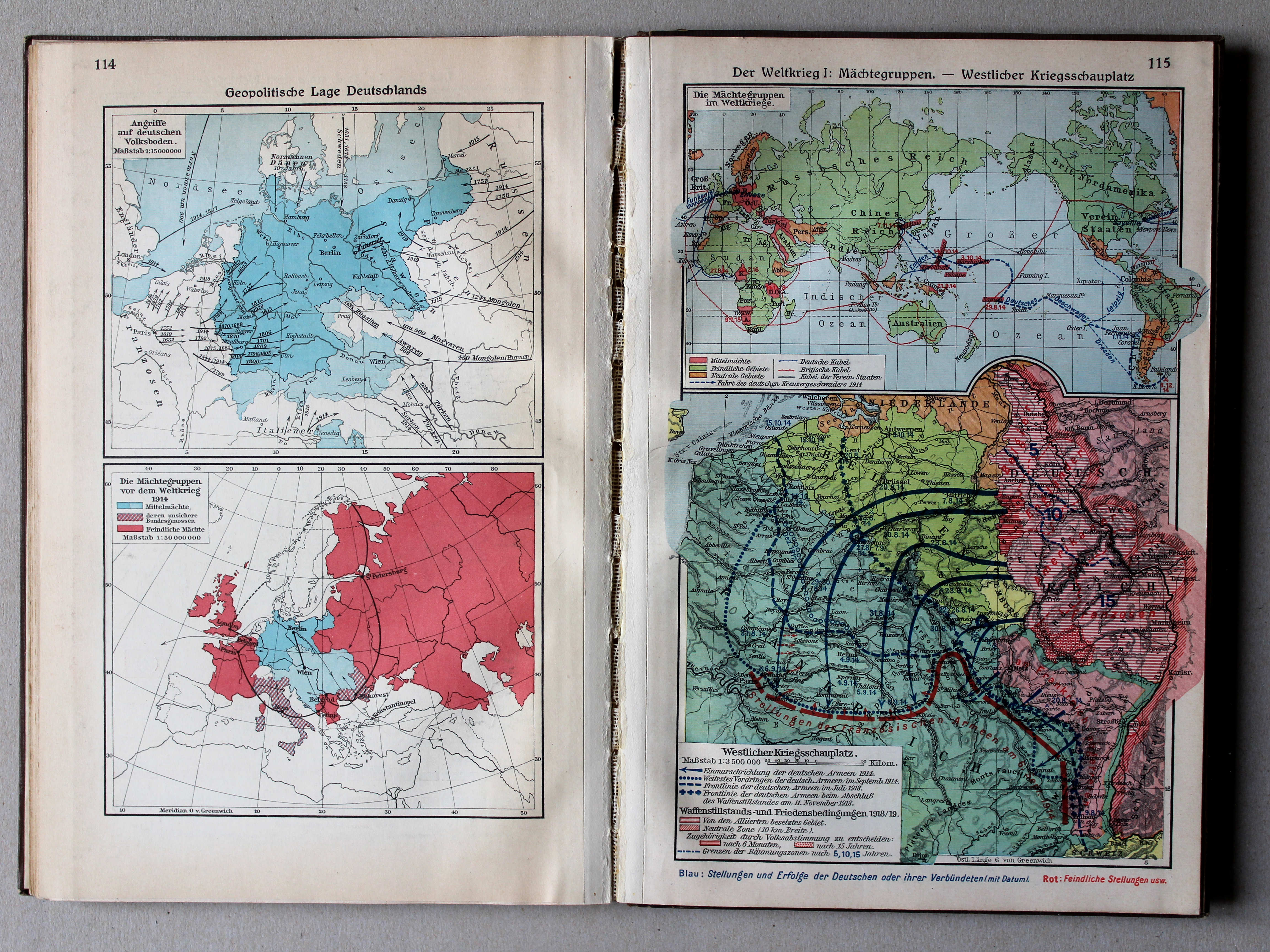
114. Geopolitische Lage Deutschlands XL
Geopolitieke situatie van Duitsland / Geopolitical situation of Germany
 Putzgers Historischer Schul-Atlas, Große Ausgabe, 1934
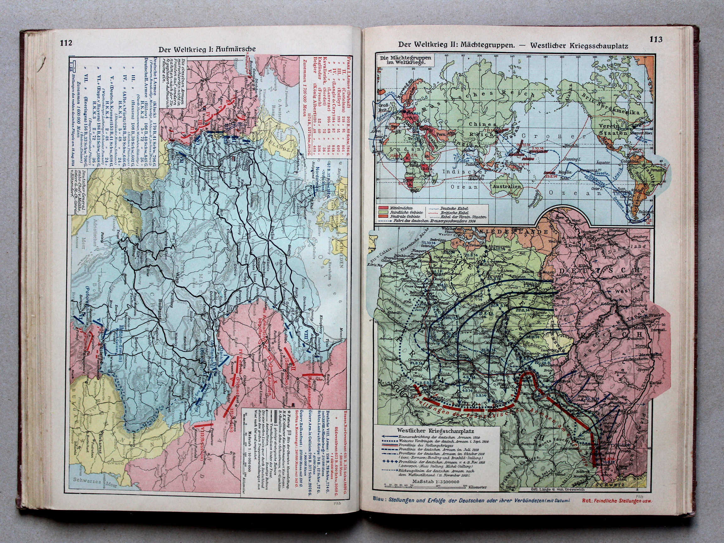
112. Der Weltkrieg I: Aufmärsche XL
De Wereldoorlog I: Opmars / The World War I: Marching up
Putzgers Historischer Schul-Atlas, Große Ausgabe, 1931/33
geen overeenkomstige kaart / no corresponding map
 Putzgers Historischer Schul-Atlas, Große Ausgabe, 1934
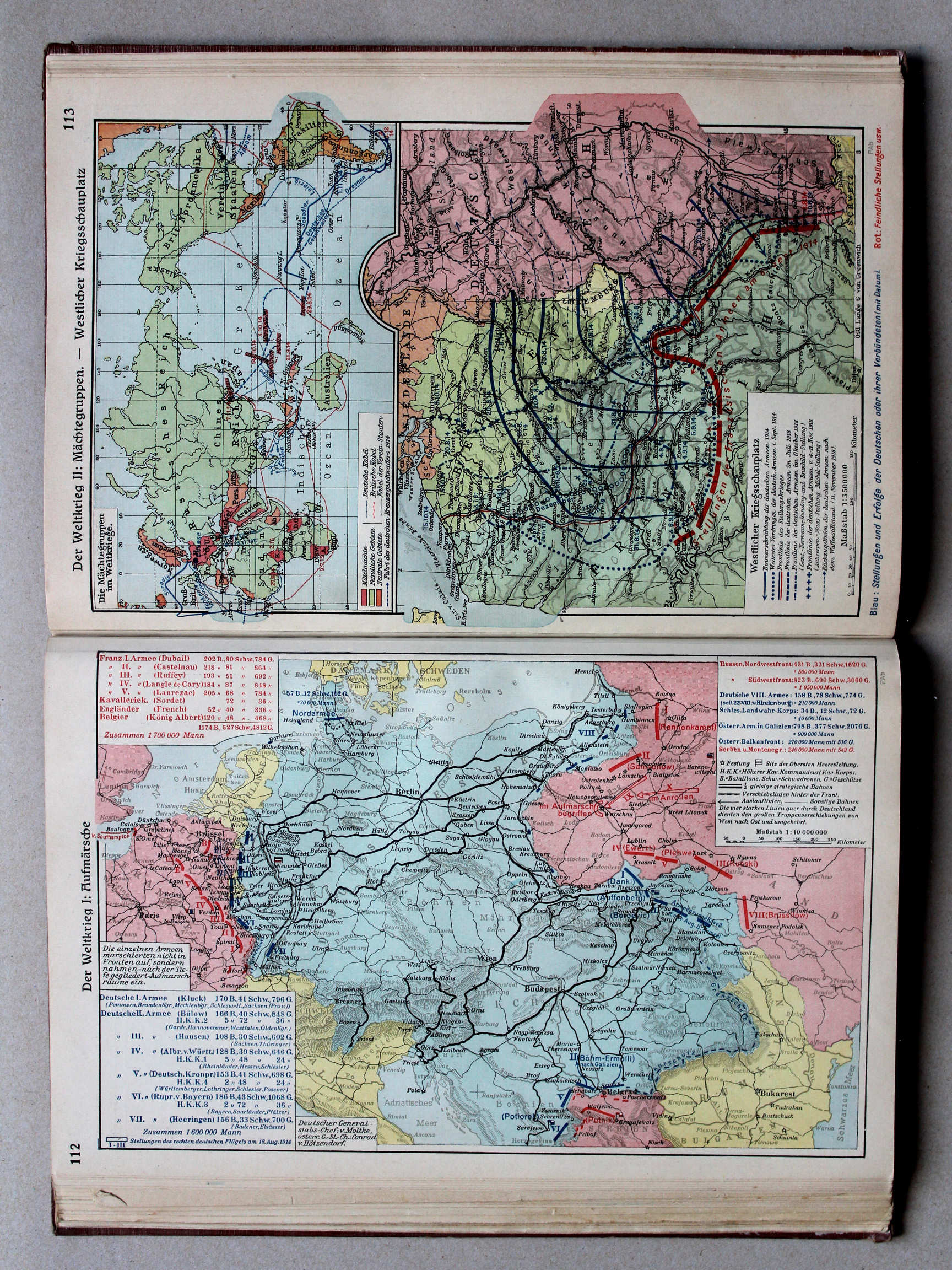
113. Der Weltkrieg II: Mächtegruppen – Westlicher Kriegsschauplatz XL
De Wereldoorlog II: Machtsblokken. Westelijk Krijgstoneel / The World War II: Power blocks. Western theater of war
Putzgers Historischer Schul-Atlas, Große Ausgabe, 1931/33
115. Der Weltkrieg I: Mächtegruppen – Westlicher Kriegsschauplatz XL
De Wereldoorlog I: Machtsblokken. Westelijk Krijgstoneel / The World War I: Power blocks. Western theater of war
 Putzgers Historischer Schul-Atlas, Große Ausgabe, 1934
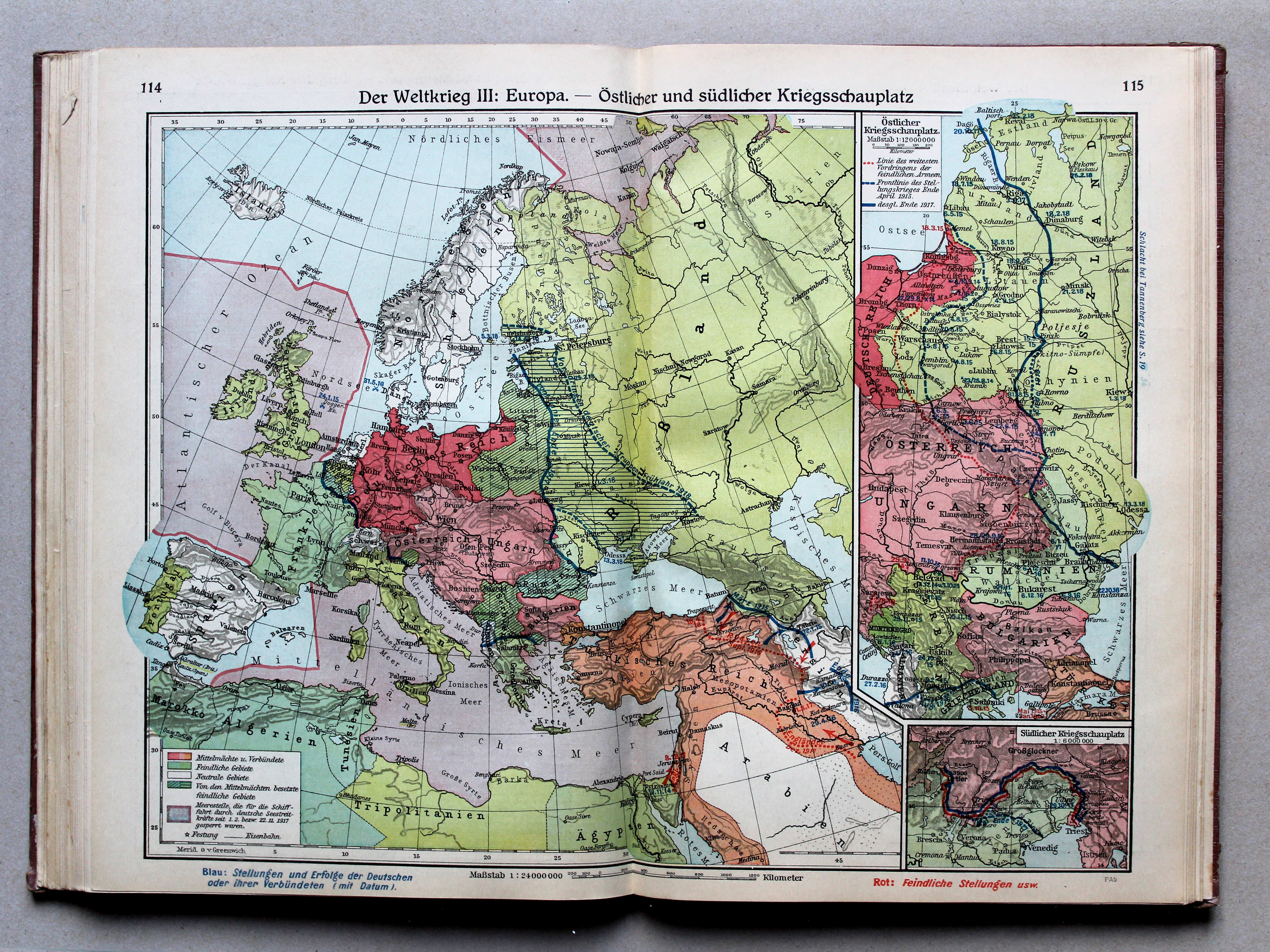
114.115. Der Weltkrieg III: Europa – Östlicher und südlicher Kriegsschauplatz XL
De Wereldoorlog III: Europa. Oostelijk en zuidelijk Krijgstoneel / The World War III: Europe. Eastern and southern theater of war
 Putzgers Historischer Schul-Atlas, Große Ausgabe, 1931/33
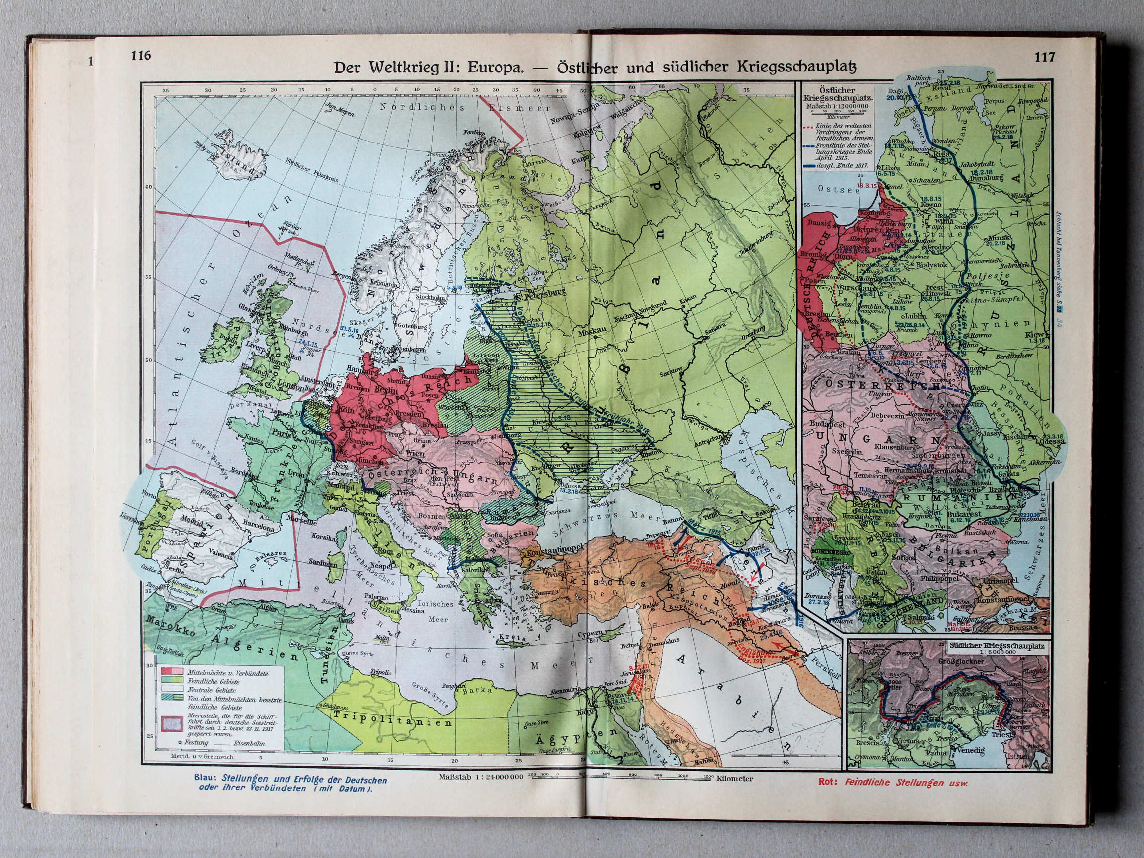
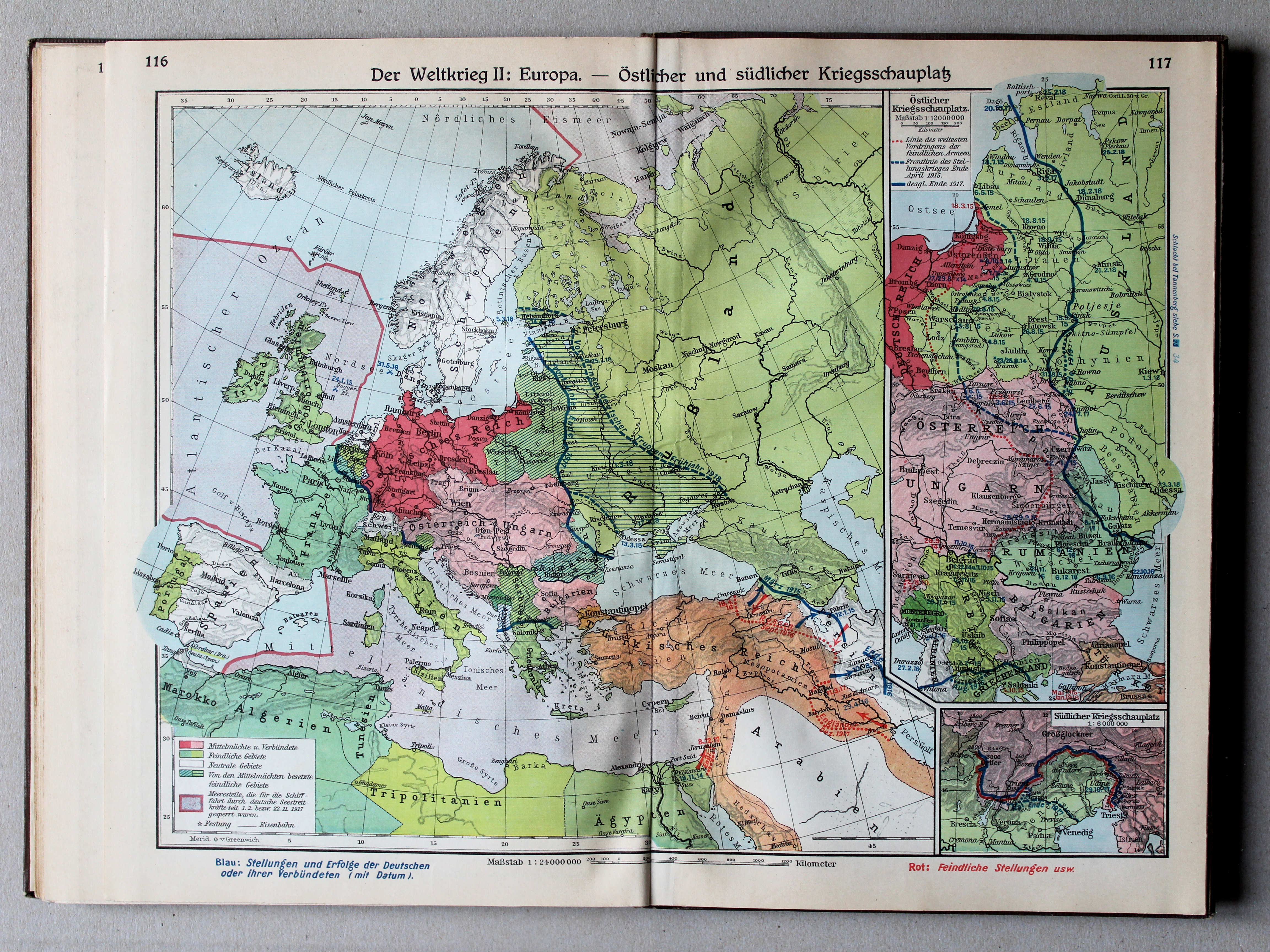
116.117. Der Weltkrieg II: Europa – Östlicher und südlicher Kriegsschauplatz XL
De Wereldoorlog II: Europa. Oostelijk en zuidelijk Krijgstoneel / The World War II: Europe. Eastern and southern theater of war
 Putzgers Historischer Schul-Atlas, Große Ausgabe, 1934
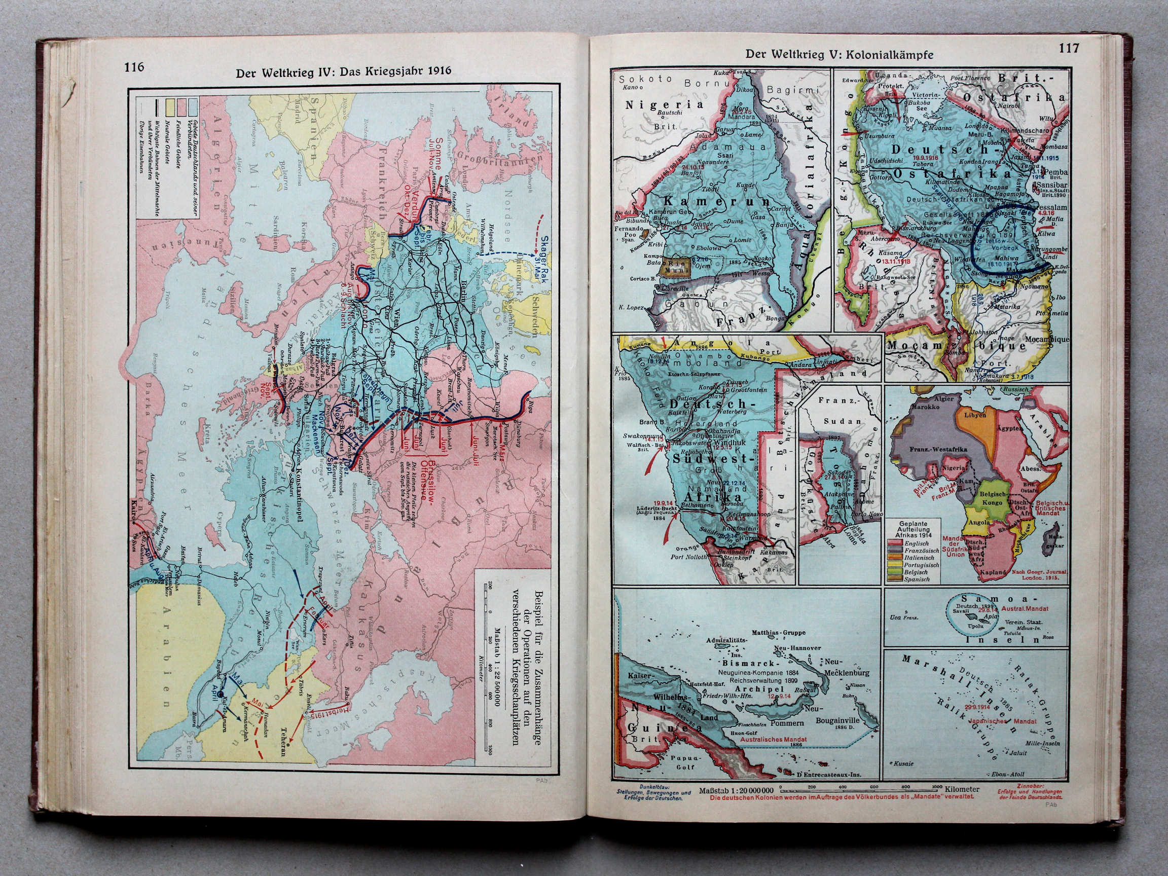
116. Der Weltkrieg IV: Das Kriegsjahr 1916 XL
De Wereldoorlog IV: Oorlogsjaar 1916 / The World War IV: War year 1916
Putzgers Historischer Schul-Atlas, Große Ausgabe, 1931/33
geen overeenkomstige kaart / no corresponding map
 Putzgers Historischer Schul-Atlas, Große Ausgabe, 1934
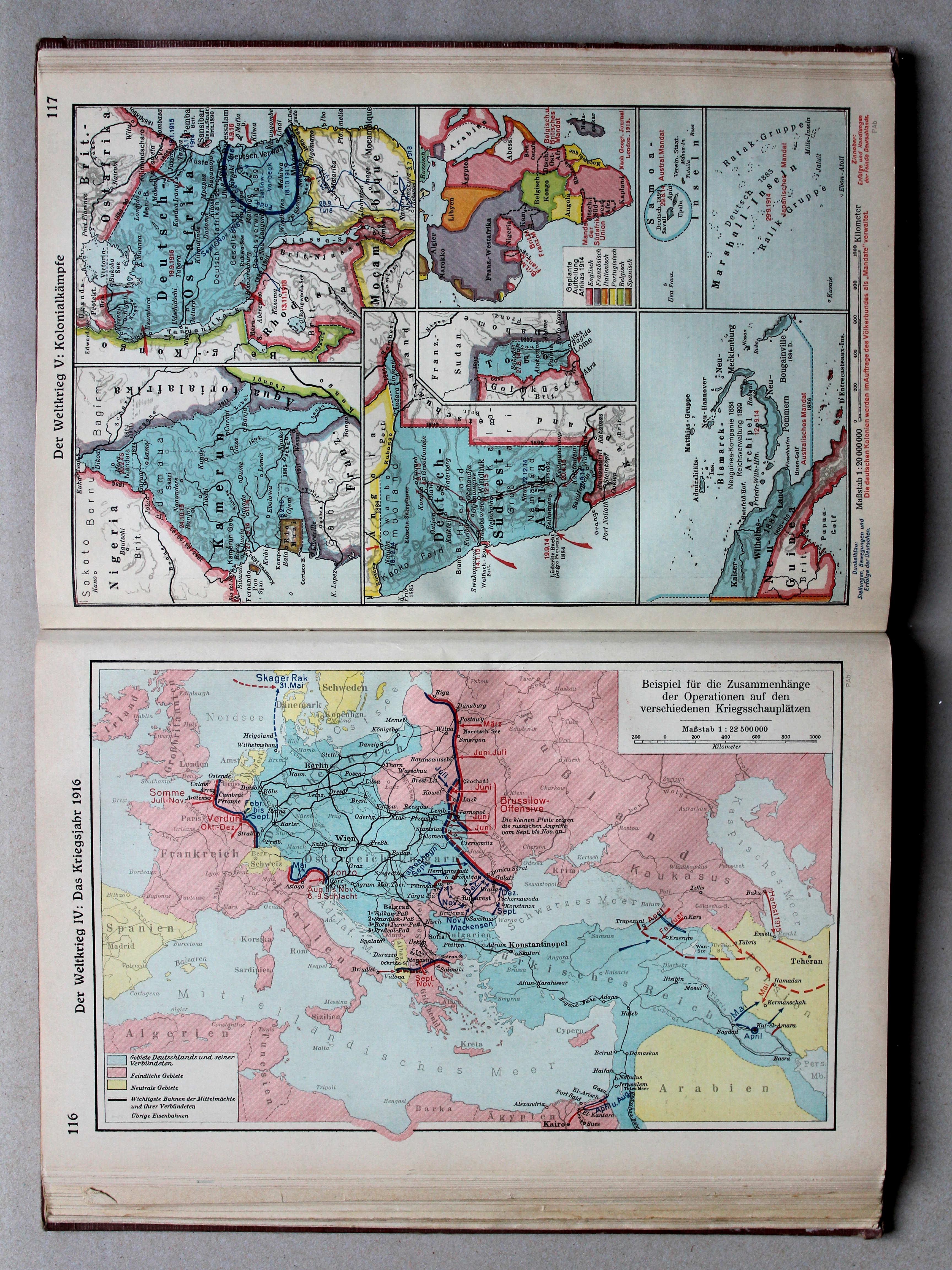
117. Der Weltkrieg V: Kolonialkämpfe XL
De Wereldoorlog V: Strijd in de koloniën / The World War V: Battles in the colonies
Putzgers Historischer Schul-Atlas, Große Ausgabe, 1931/33
geen overeenkomstige kaart / no corresponding map
 Putzgers Historischer Schul-Atlas, Große Ausgabe, 1934
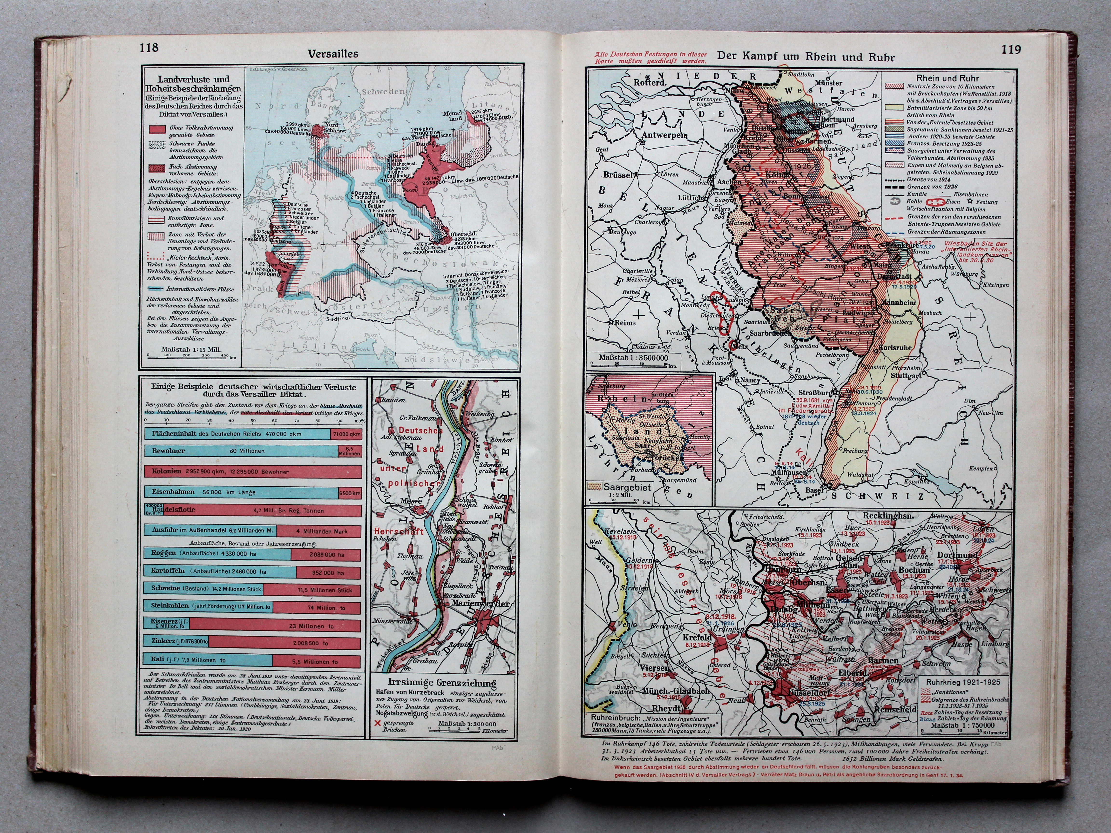
118. Versailles XL
Verdrag van Versailles / Treaty of Versailles
119. Der Kampf um Rhein und Ruhr XL
Rijnland en Ruhrgebied / Rhineland and Ruhr district
 Putzgers Historischer Schul-Atlas, Große Ausgabe, 1931/33
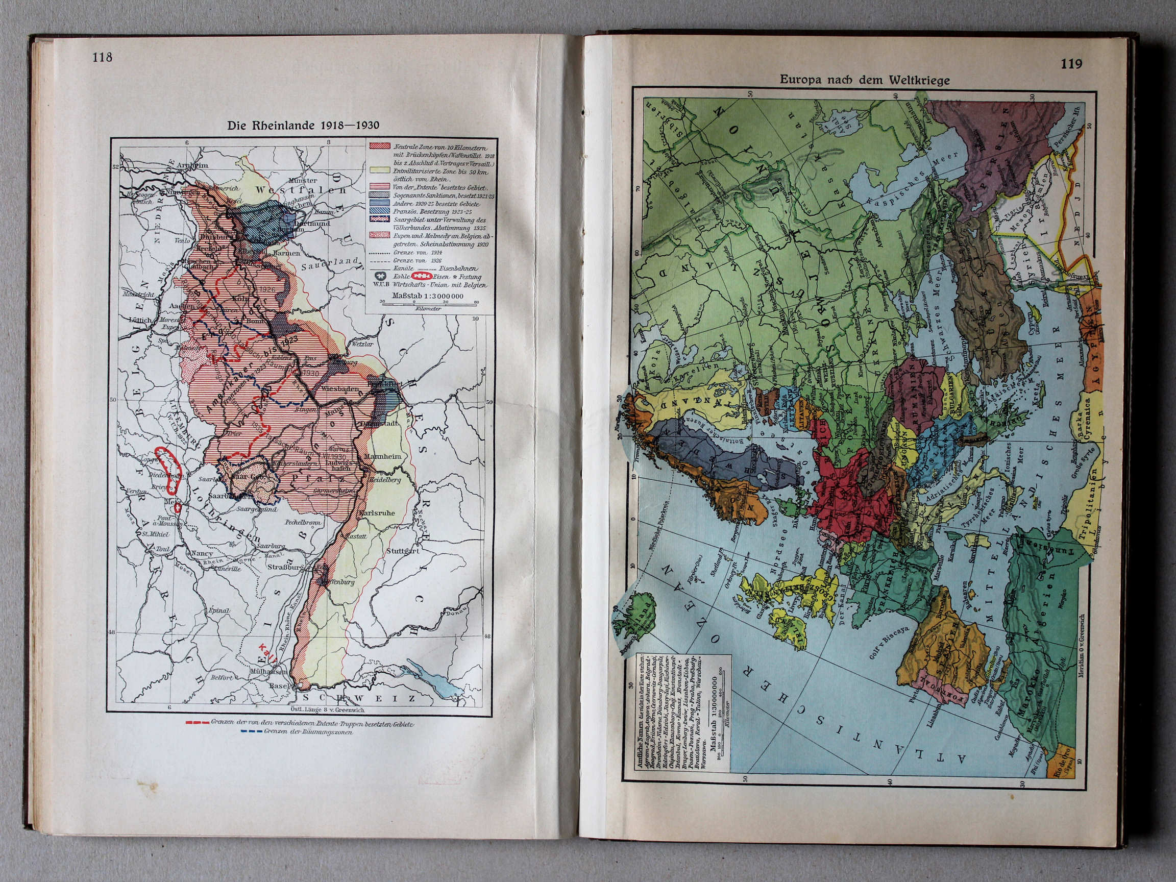
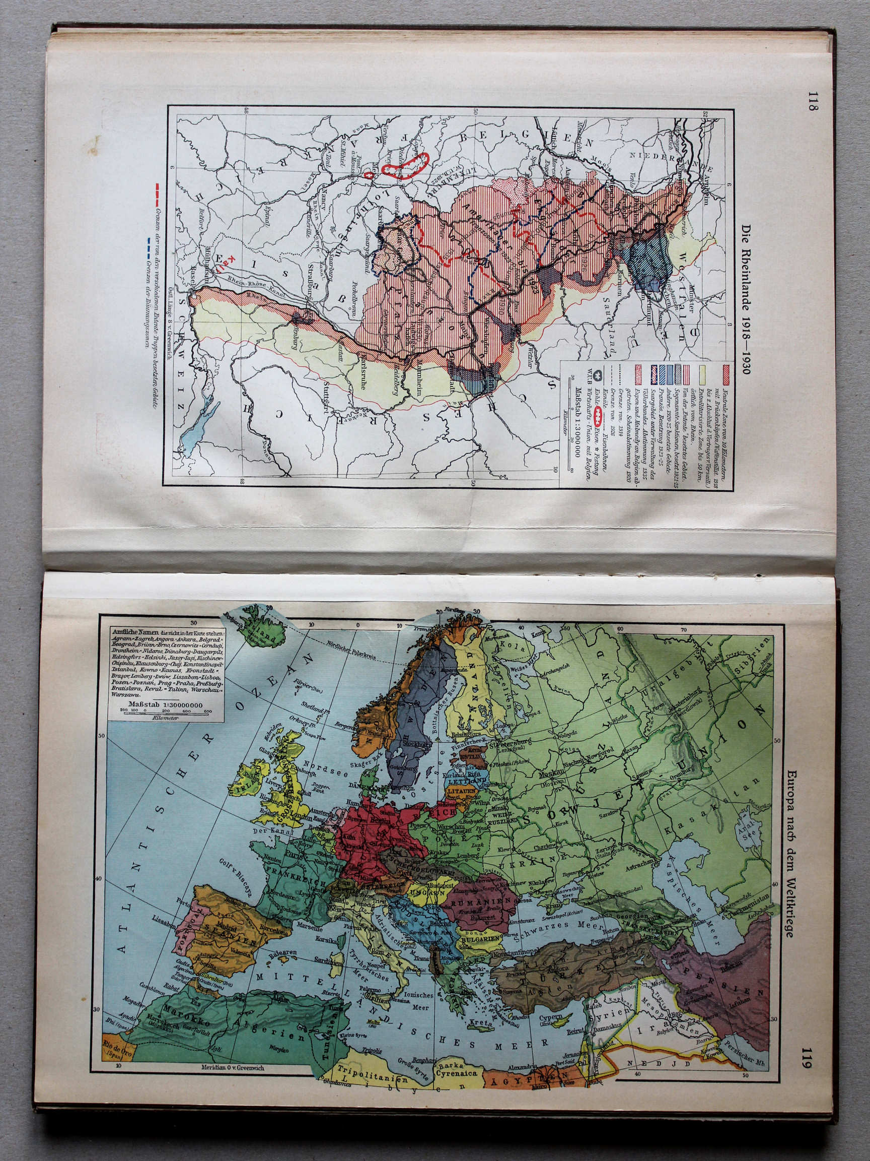
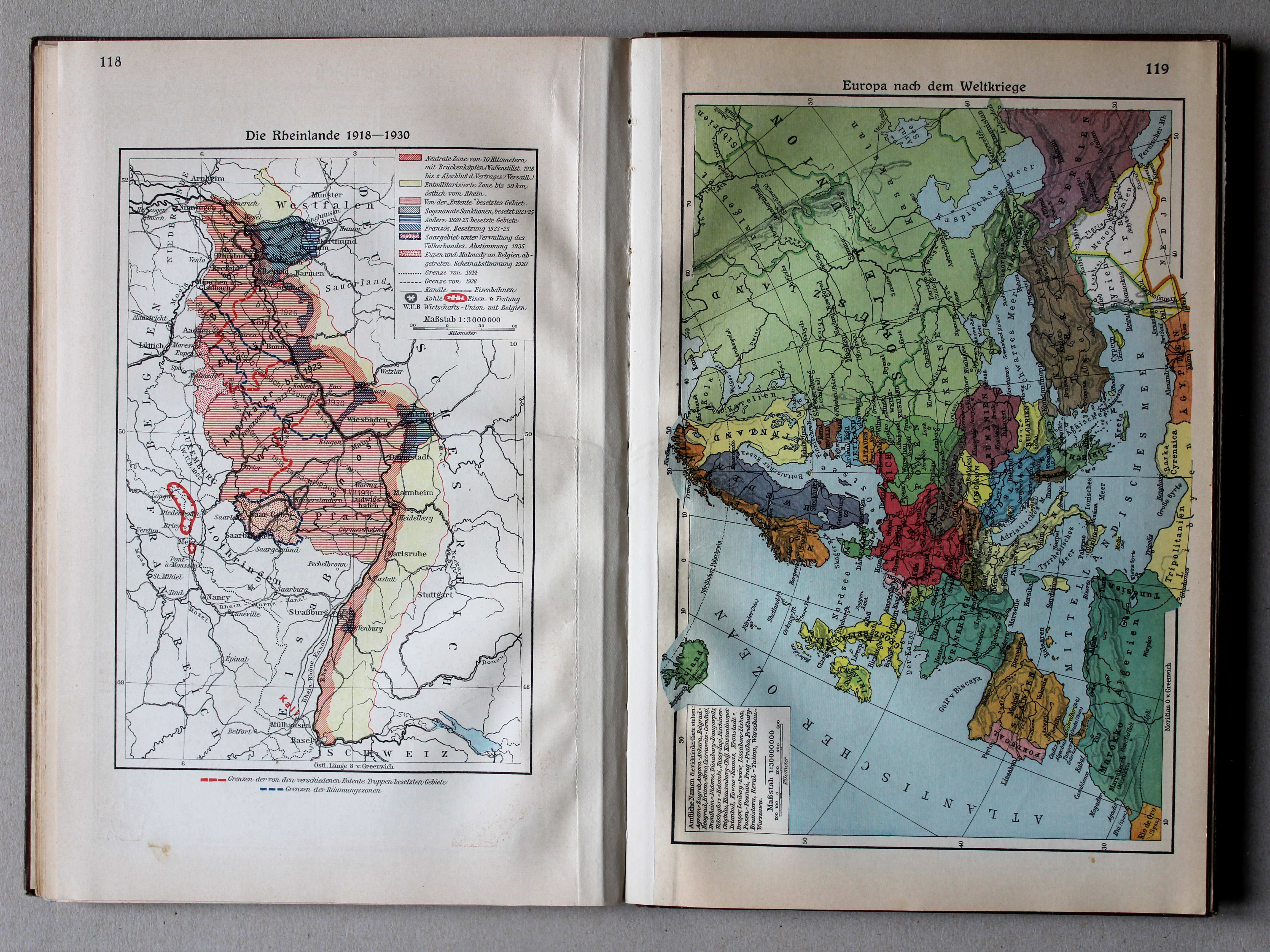
118. Die Rheinlande 1918-1930 XL
Het Rijnland 1918-1930 / Rhineland 1918-1930
 Putzgers Historischer Schul-Atlas, Große Ausgabe, 1934
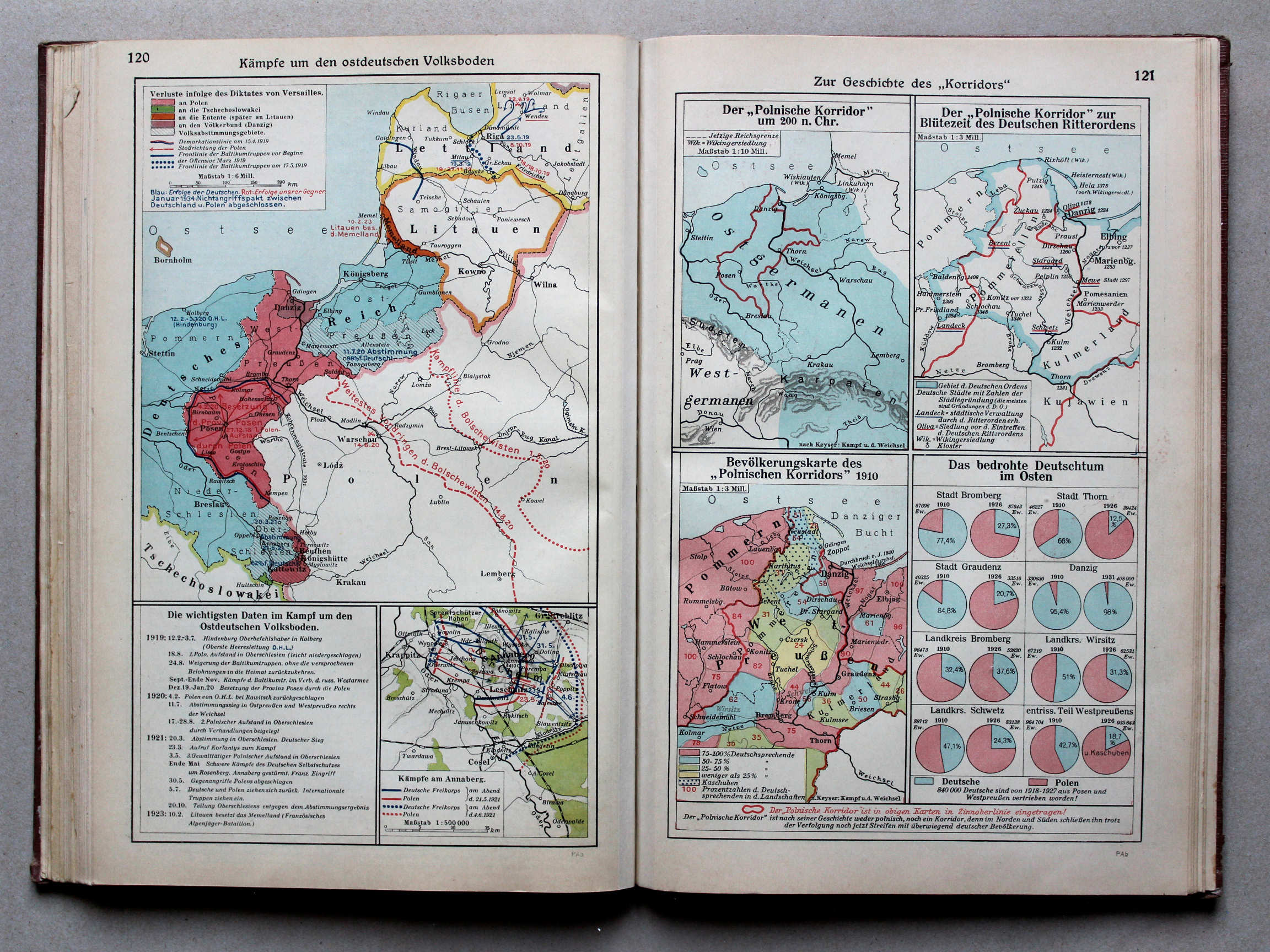
120. Kämpfe um den ostdeutschen Volksboden XL
Strijd om het Oost-Duitse gebied / Struggle for the East German soil
121. Die Geschichte des „Korridors“ XL
Geschiedenis van de „Poolse Corridor“ / History of the „Polish Corridor“
Putzgers Historischer Schul-Atlas, Große Ausgabe, 1931/33
geen overeenkomstige kaart / no corresponding map
 Putzgers Historischer Schul-Atlas, Große Ausgabe, 1934
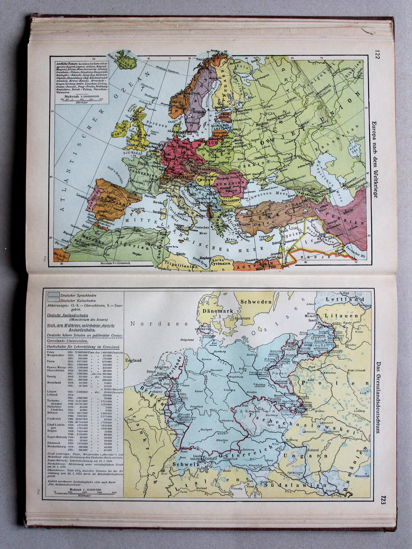
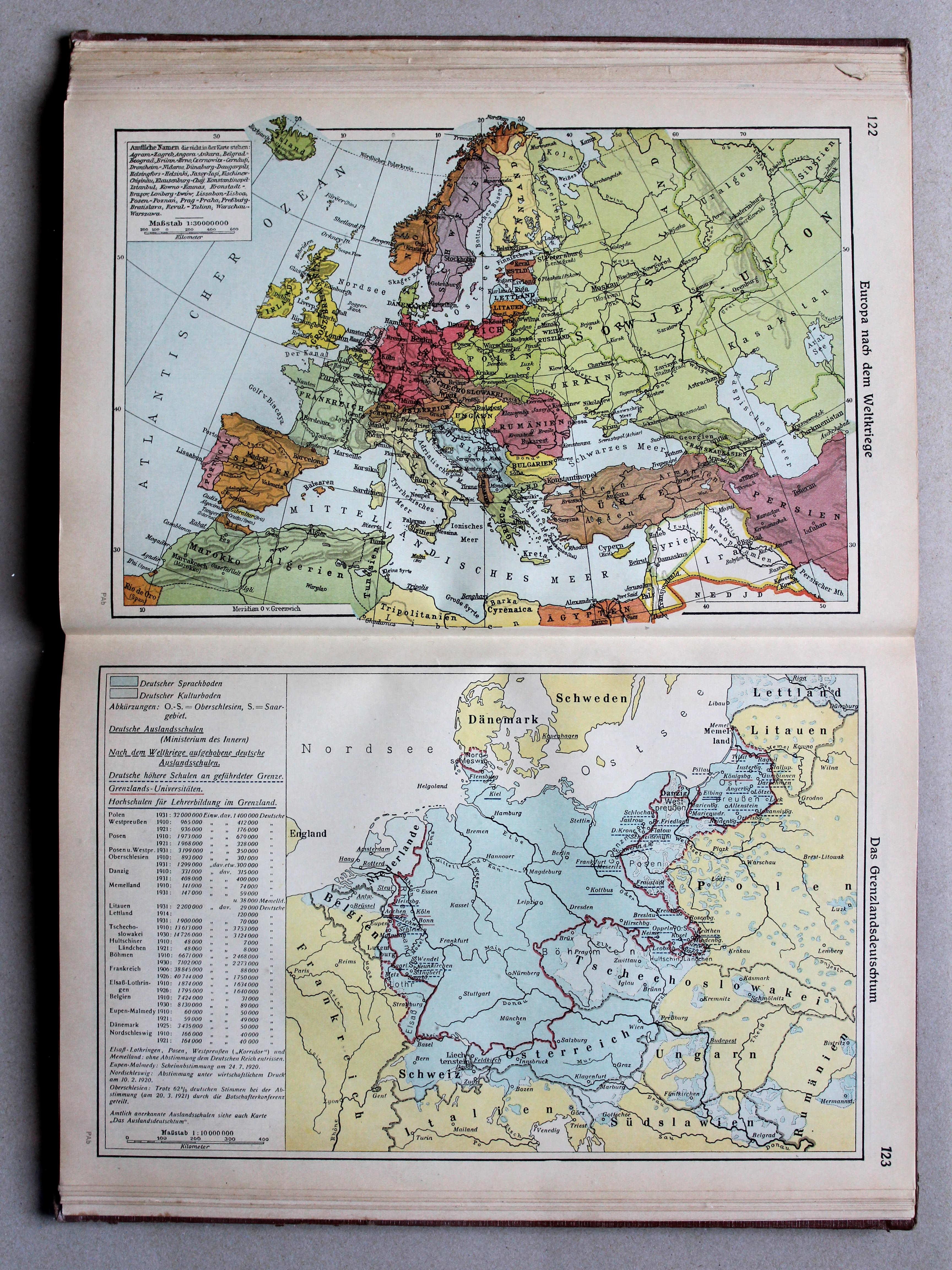
122. Europa nach dem Weltkriege XL
Europa na de Wereldoorlog / Europe after the World War
123. Das Grenzlandsdeutschtum XL
Duitsers aan de grenzen van Duitsland / Germans at the borders of Germany
 Putzgers Historischer Schul-Atlas, Große Ausgabe, 1931/33
119. Europa nach dem Weltkriege XL
Europa na de Wereldoorlog / Europe after the World War
 Putzgers Historischer Schul-Atlas, Große Ausgabe, 1934
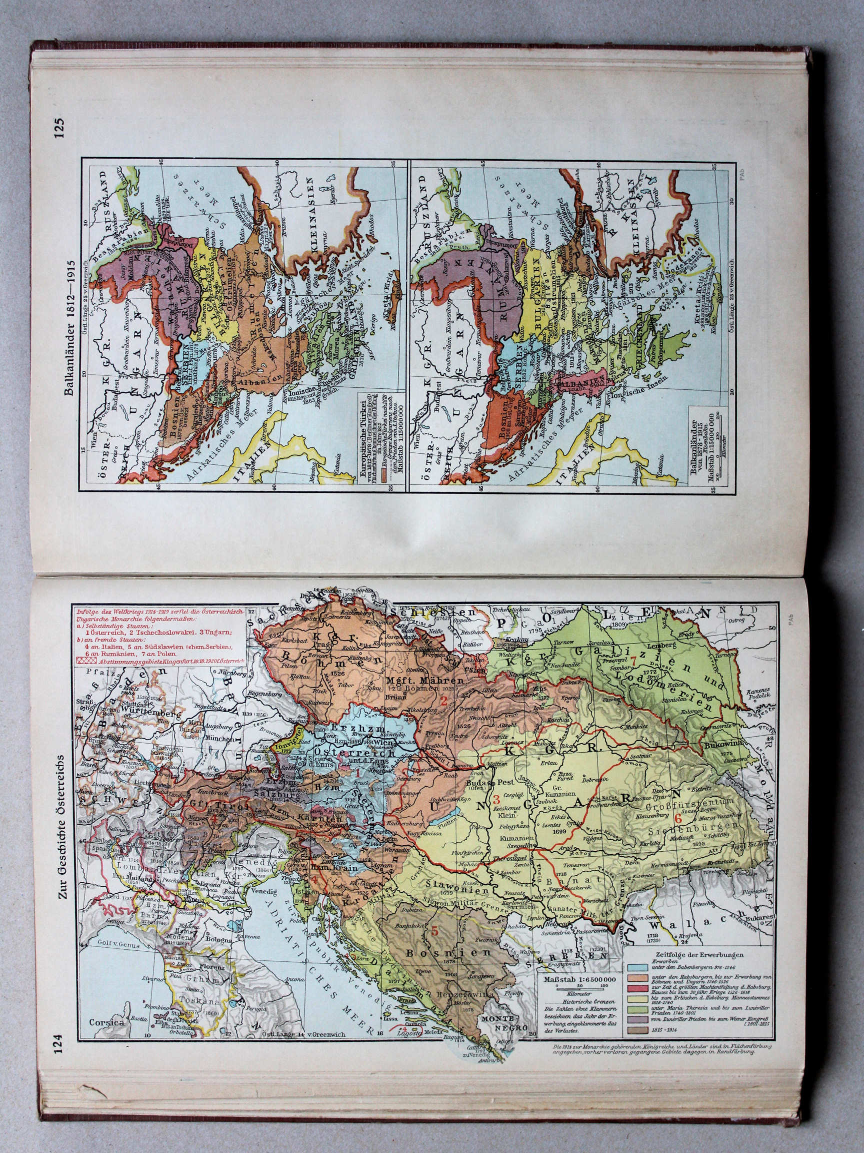
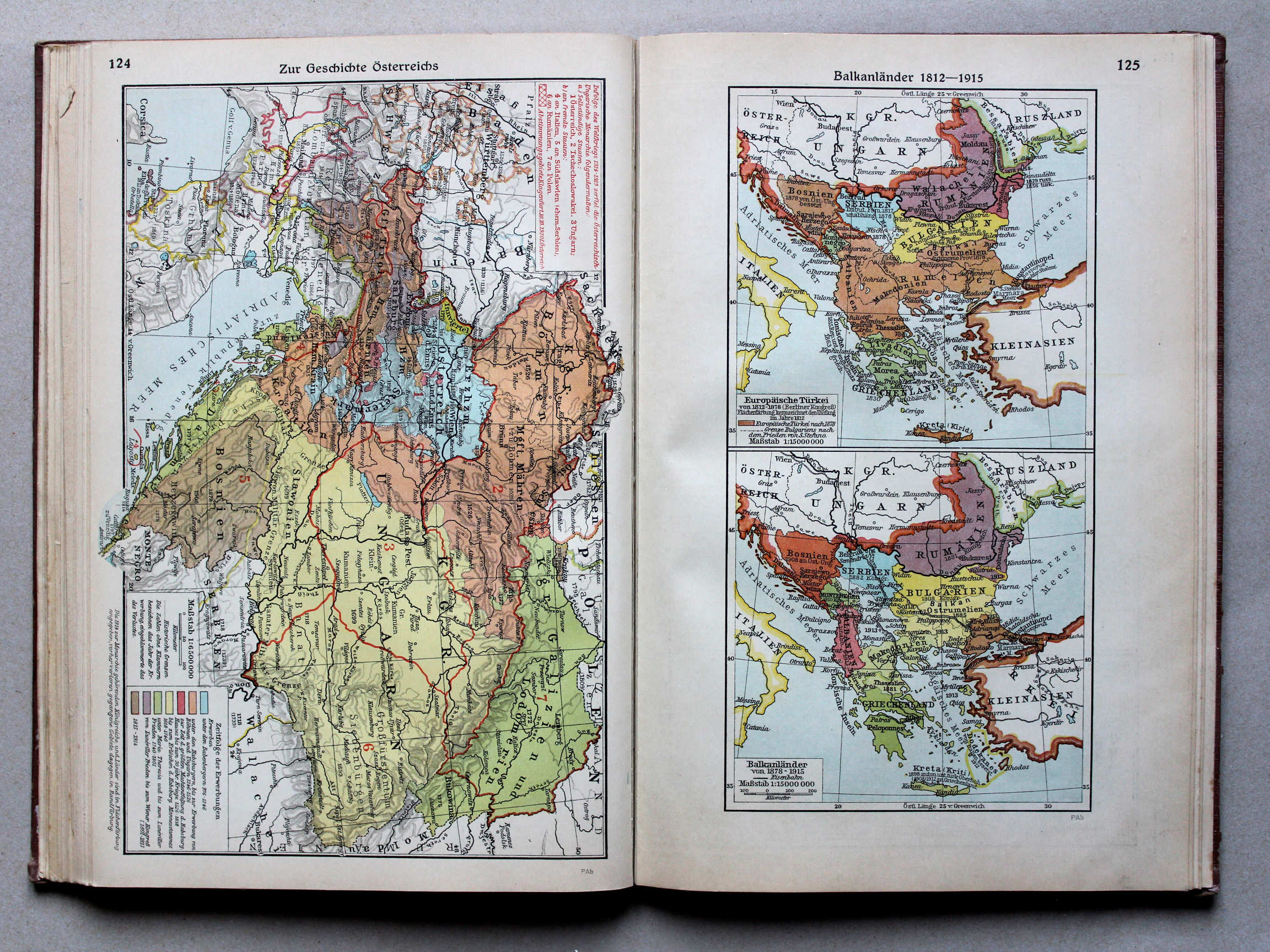
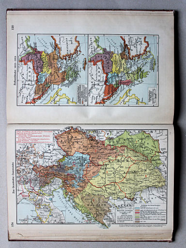
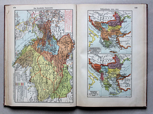
124. Zur Geschichte Österreichs XL
Geschiedenis van Oostenrijk / History of Austria
Putzgers Historischer Schul-Atlas, Große Ausgabe, 1931/33
geen overeenkomstige kaart / no corresponding map
 Putzgers Historischer Schul-Atlas, Große Ausgabe, 1934
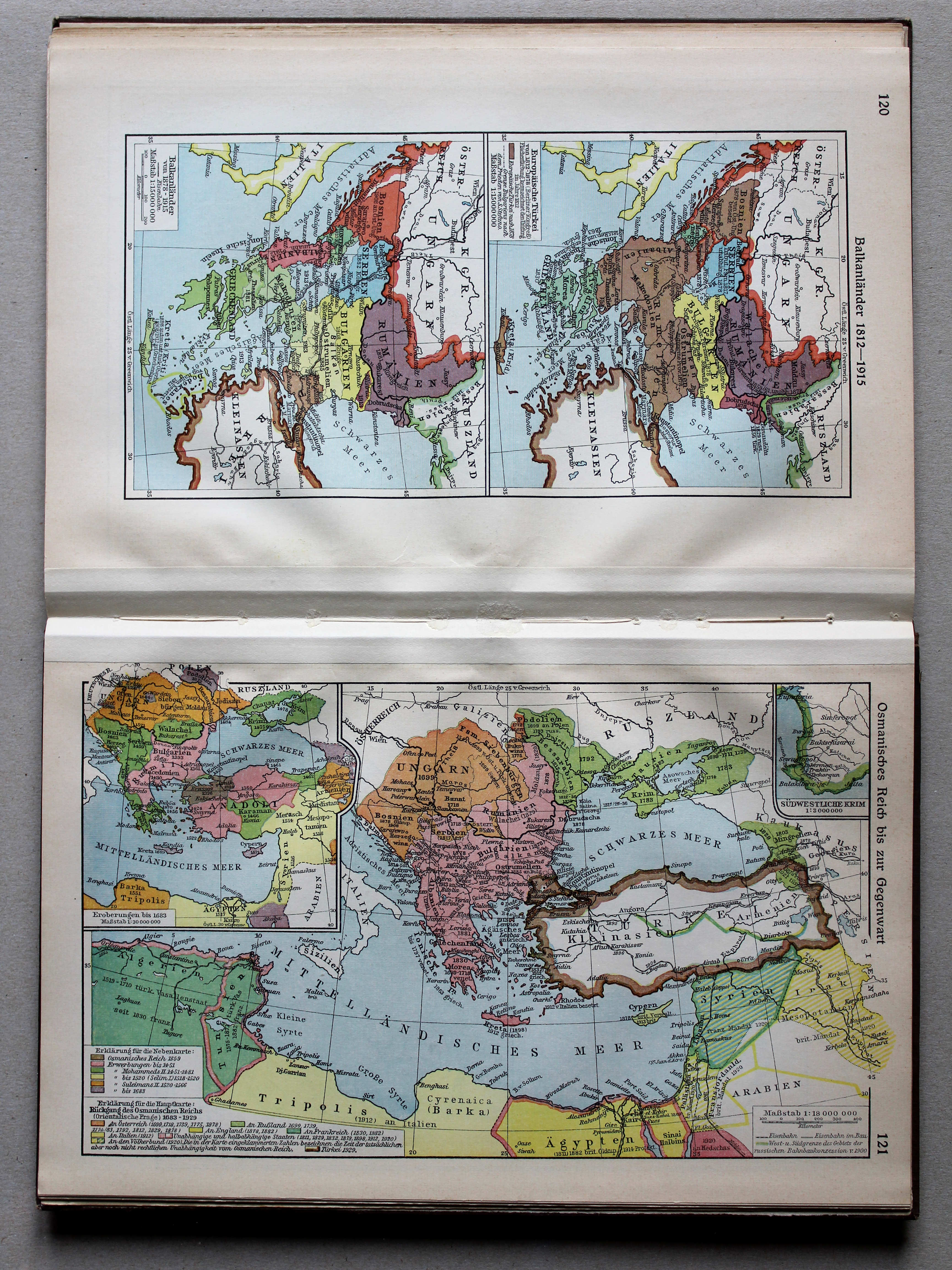
125. Balkanländer 1812-1915 XL
Balkanschiereiland 1812-1915 / Balkan Peninsula 1812-1915
 Putzgers Historischer Schul-Atlas, Große Ausgabe, 1931/33
120. Balkanländer 1812-1915 XL
Balkanschiereiland 1812-1915 / Balkan Peninsula 1812-1915
Putzgers Historischer Schul-Atlas, Große Ausgabe, 1934
geen overeenkomstige kaart / no corresponding map
 Putzgers Historischer Schul-Atlas, Große Ausgabe, 1931/33
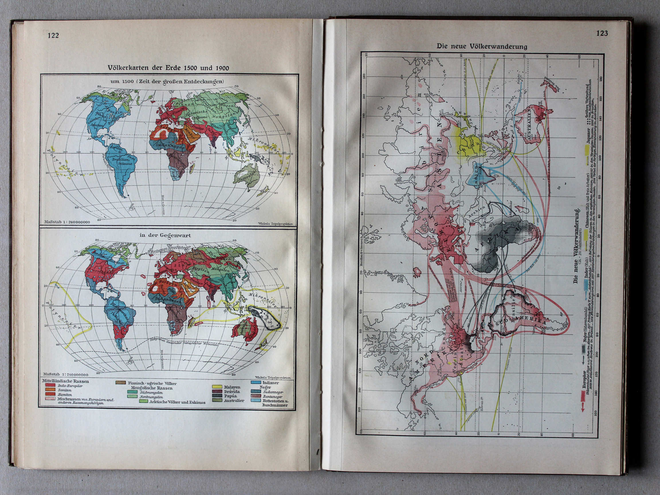
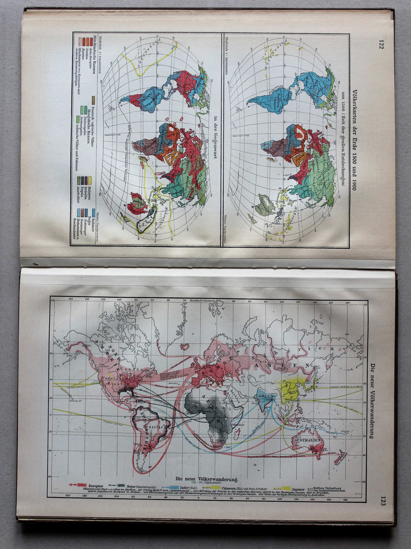
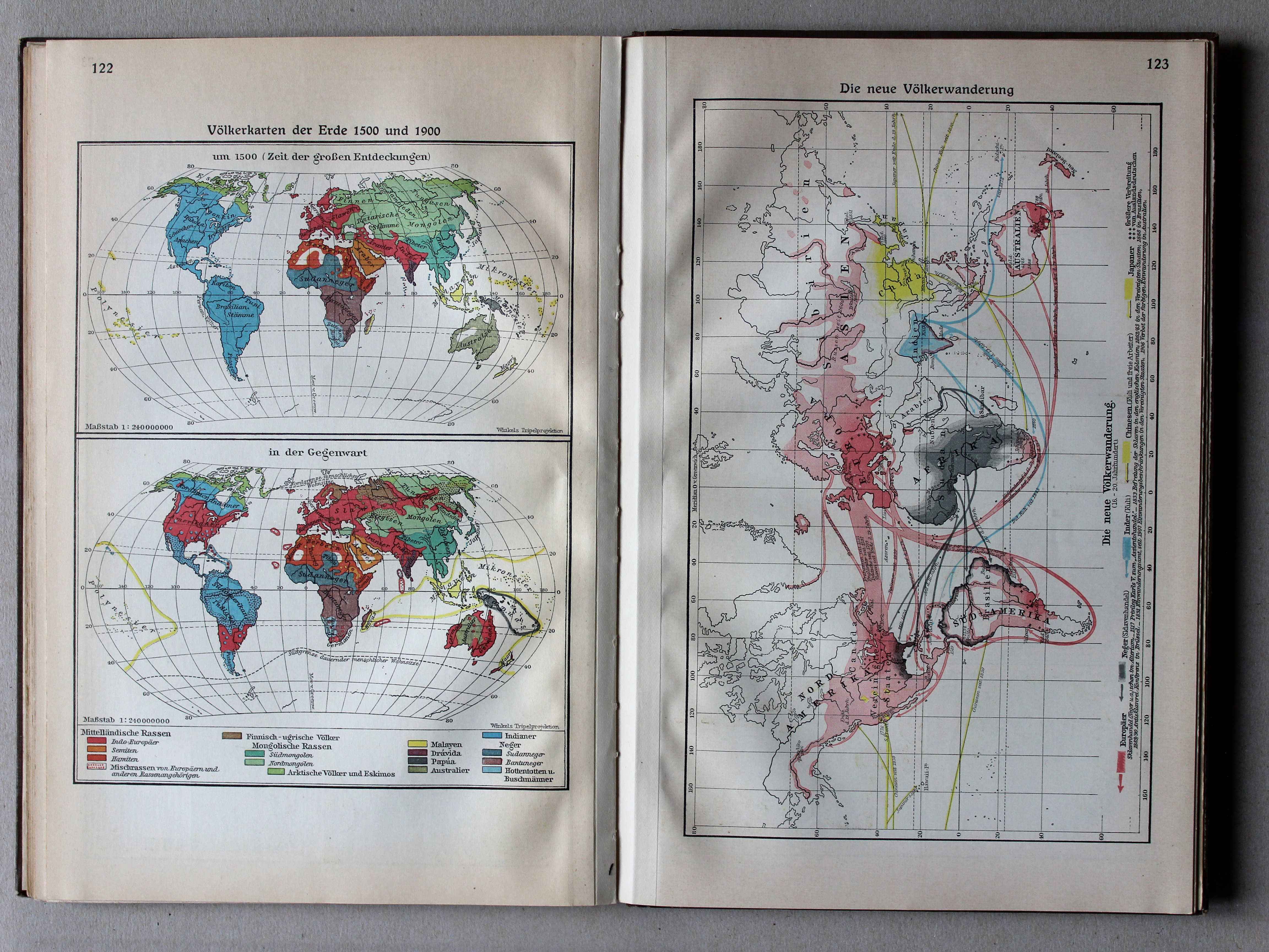
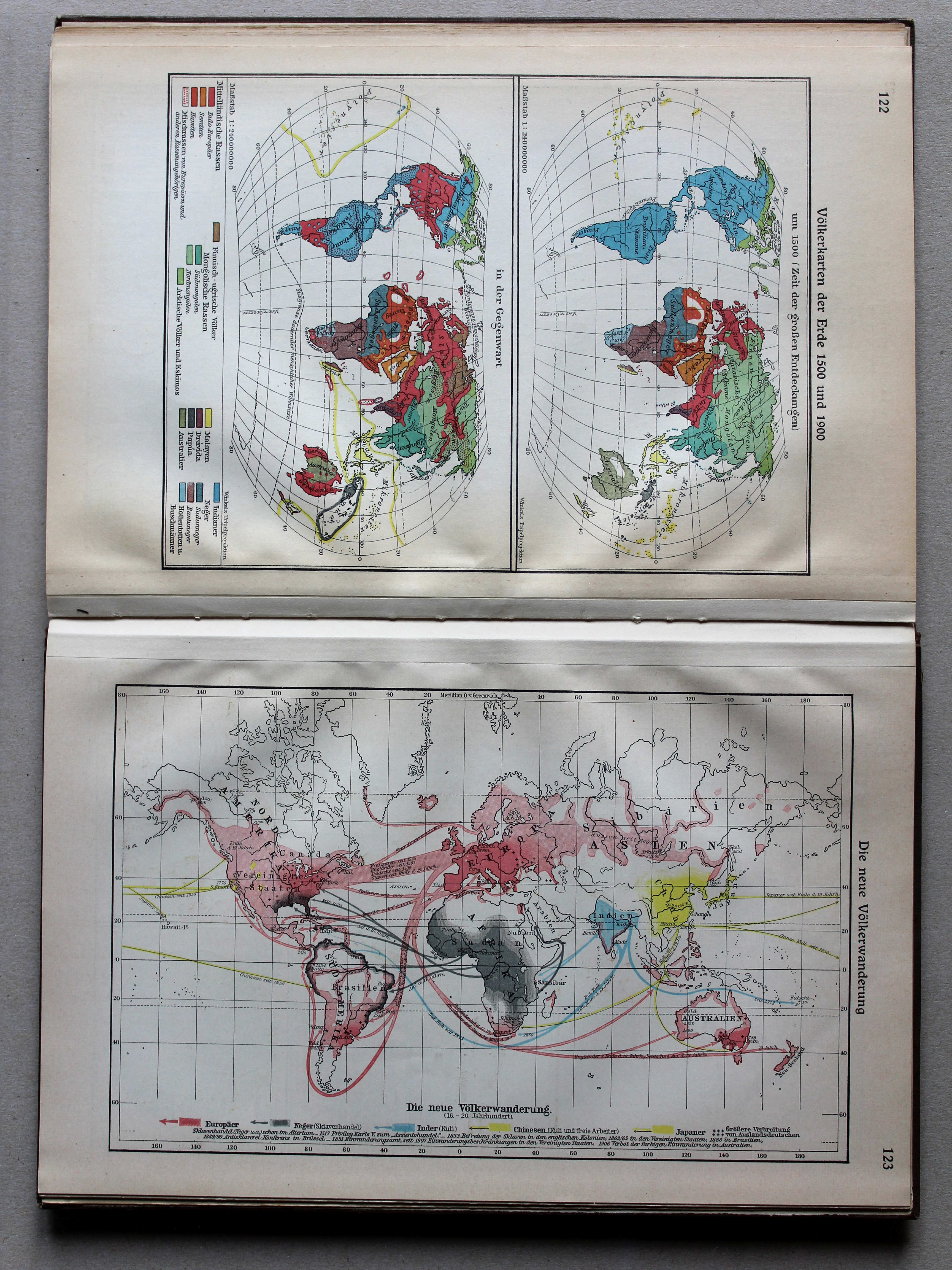
122. Völkerkarten der Erde 1500 und 1900 XL
Volkeren op Aarde in 1500 en 1900 / Nations of the world in 1500 and 1900
Putzgers Historischer Schul-Atlas, Große Ausgabe, 1934
geen overeenkomstige kaart / no corresponding map
 Putzgers Historischer Schul-Atlas, Große Ausgabe, 1931/33
123. Die neue Völkerwanderung XL
De nieuwe Volksverhuizing / The modern Migration Period
 Putzgers Historischer Schul-Atlas, Große Ausgabe, 1934
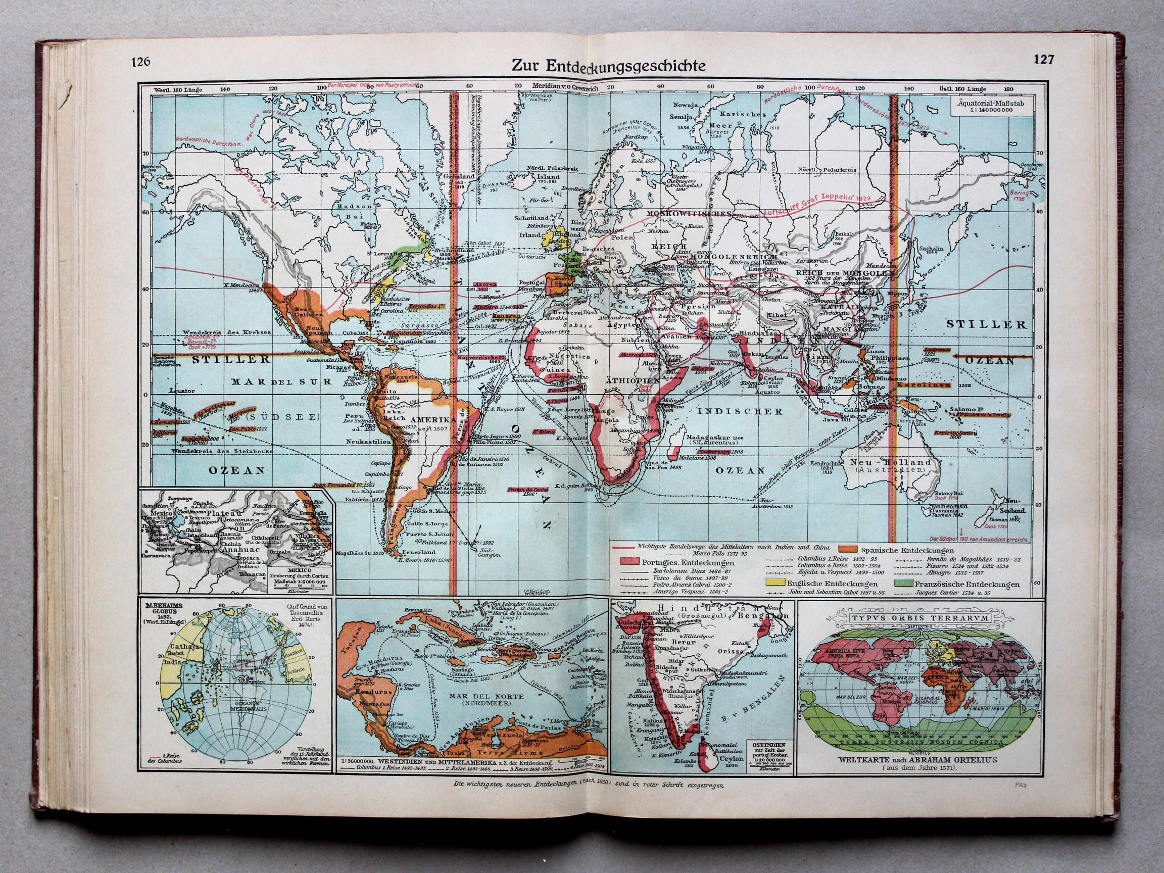
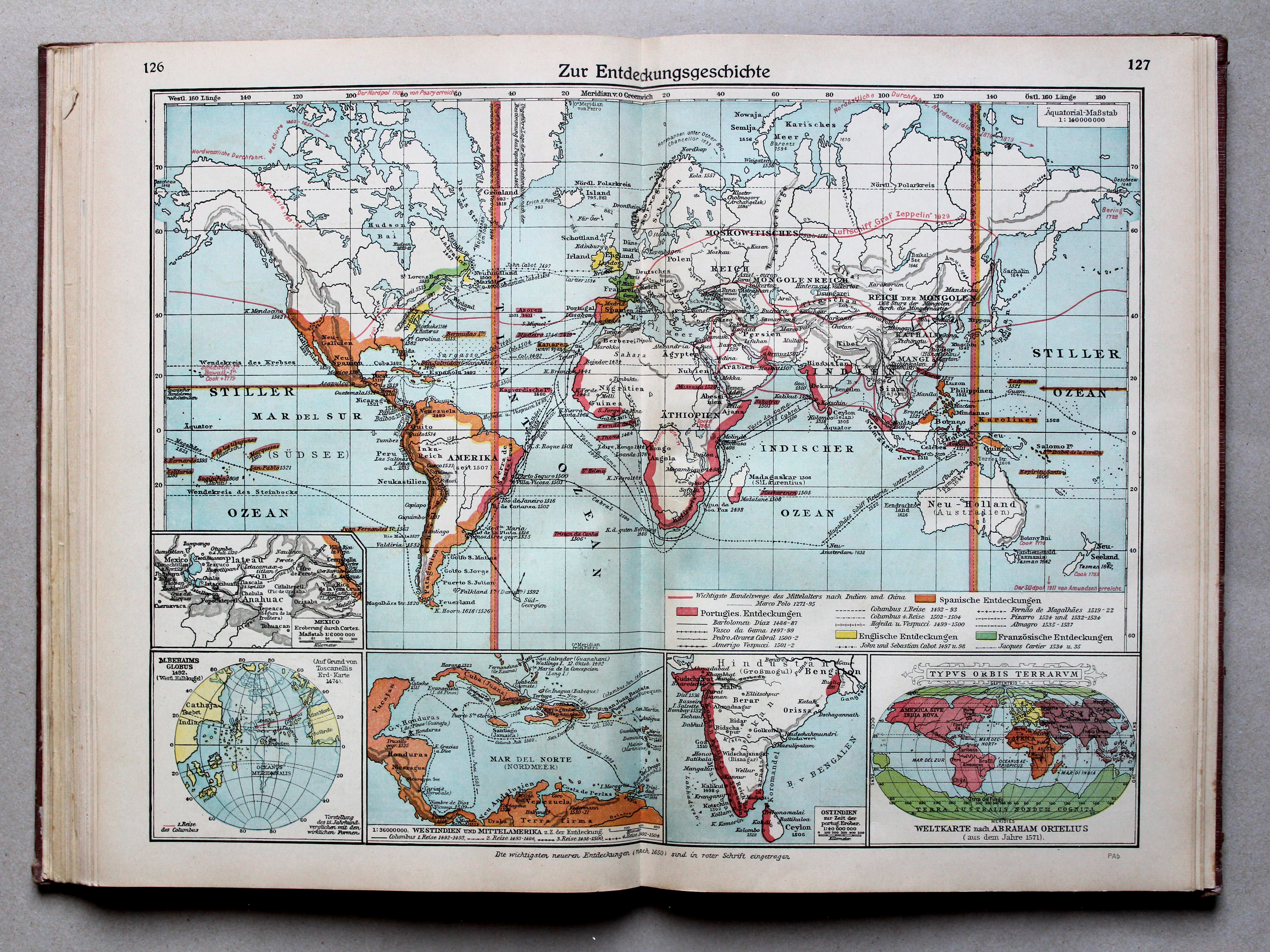
126.127. Zur Entdeckungsgeschichte XL
Geschiedenis van de grote ontdekkingen / History of Discovery
 Putzgers Historischer Schul-Atlas, Große Ausgabe, 1931/33
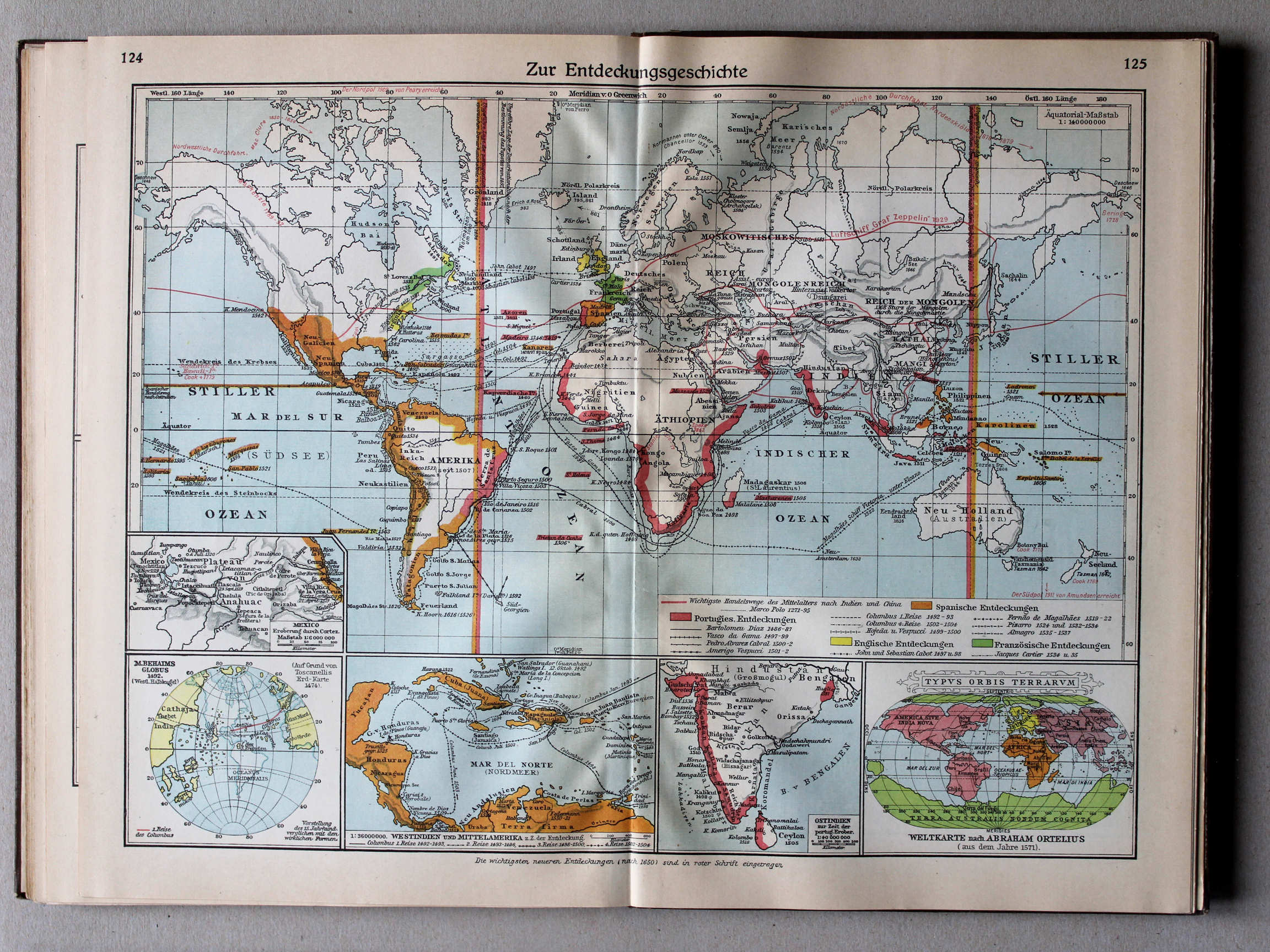
124.125. Zur Entdeckungsgeschichte XL
Geschiedenis van de grote ontdekkingen / History of Discovery
 Putzgers Historischer Schul-Atlas, Große Ausgabe, 1934
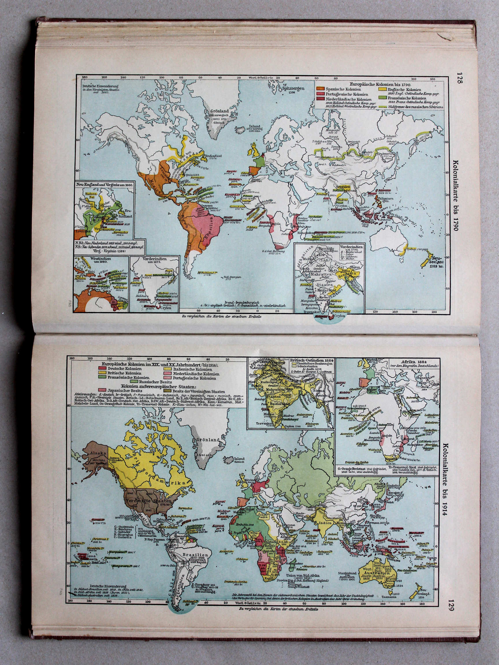
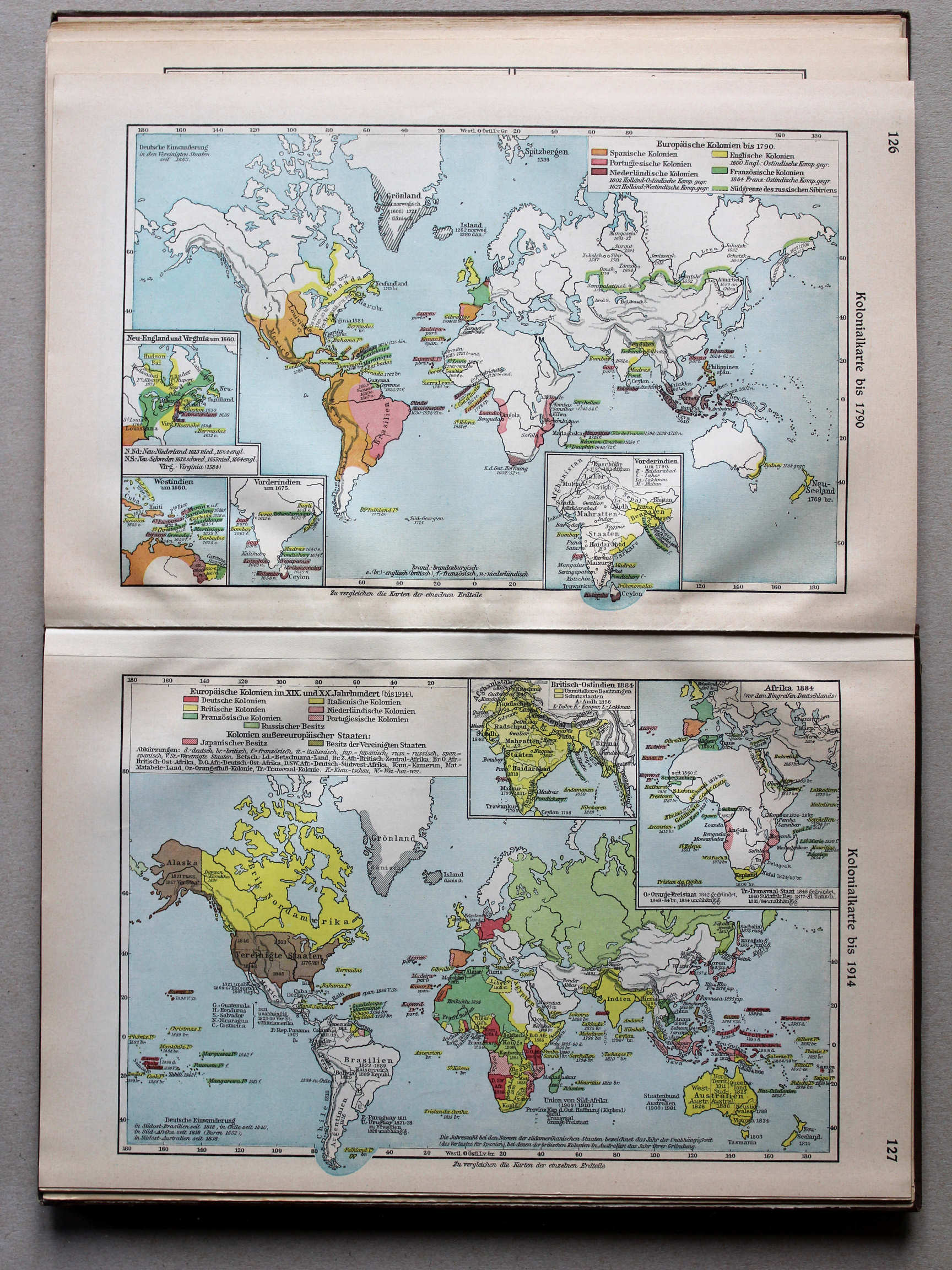
128. Kolonialkarte bis 1790 XL
Koloniën tot 1790 / Colonies until 1790
129. Kolonialkarte bis 1914 XL
Koloniën tot 1914 / Colonies until 1914
 Putzgers Historischer Schul-Atlas, Große Ausgabe, 1931/33
126. Kolonialkarte bis 1790 XL
Koloniën tot 1790 / Colonies until 1790
127. Kolonialkarte bis 1914 XL
Koloniën tot 1914 / Colonies until 1914
 Putzgers Historischer Schul-Atlas, Große Ausgabe, 1934
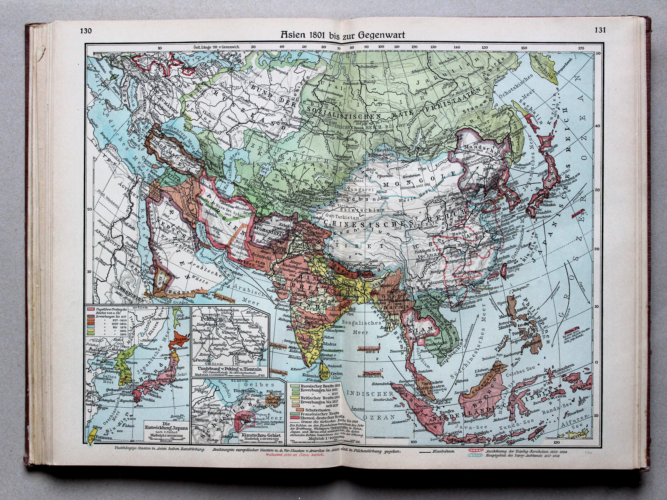
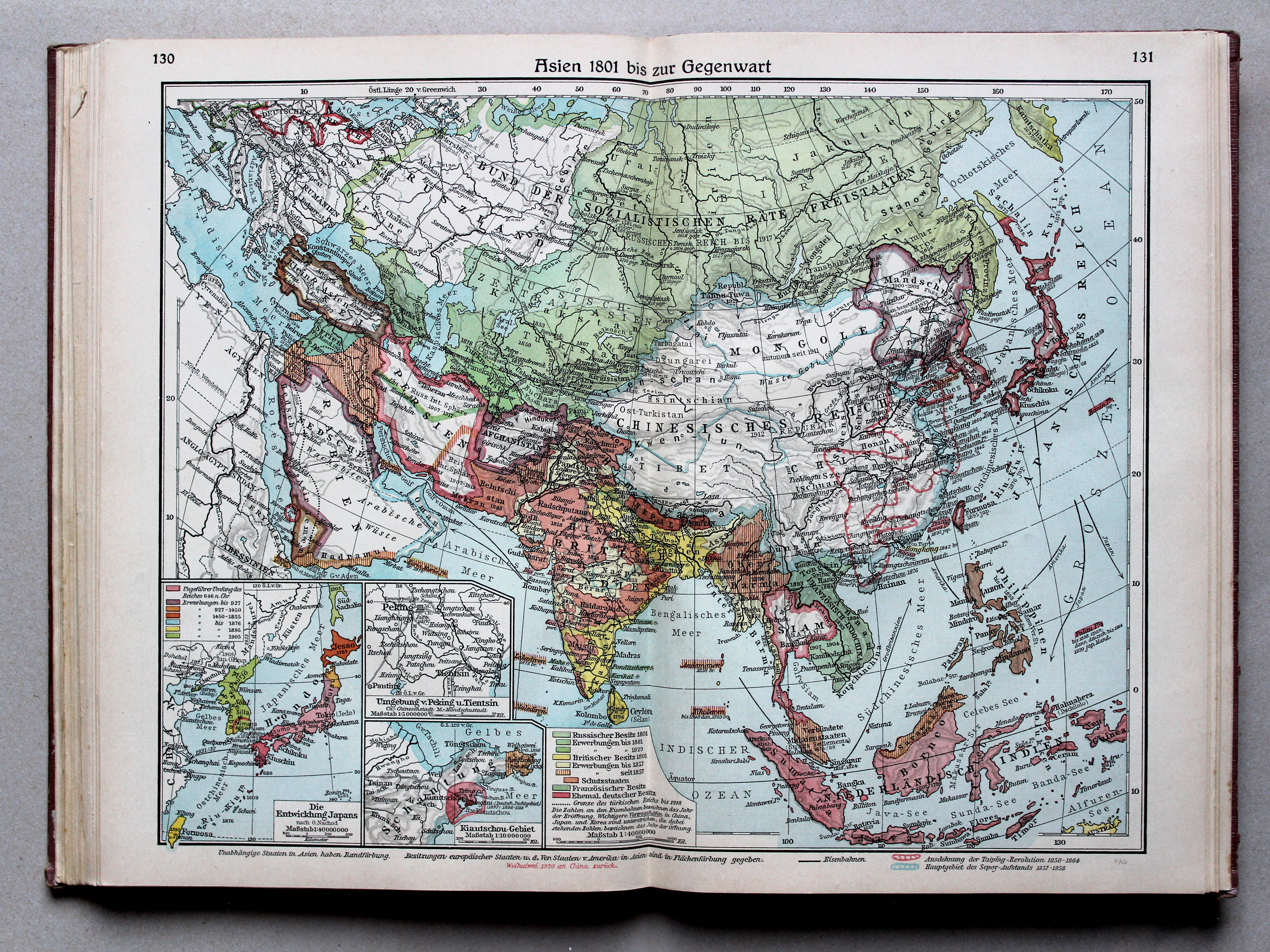
130.131. Asien 1801 bis zur Gegenwart XL
Azië van 1801 tot heden / Asia from 1801 until today
 Putzgers Historischer Schul-Atlas, Große Ausgabe, 1931/33
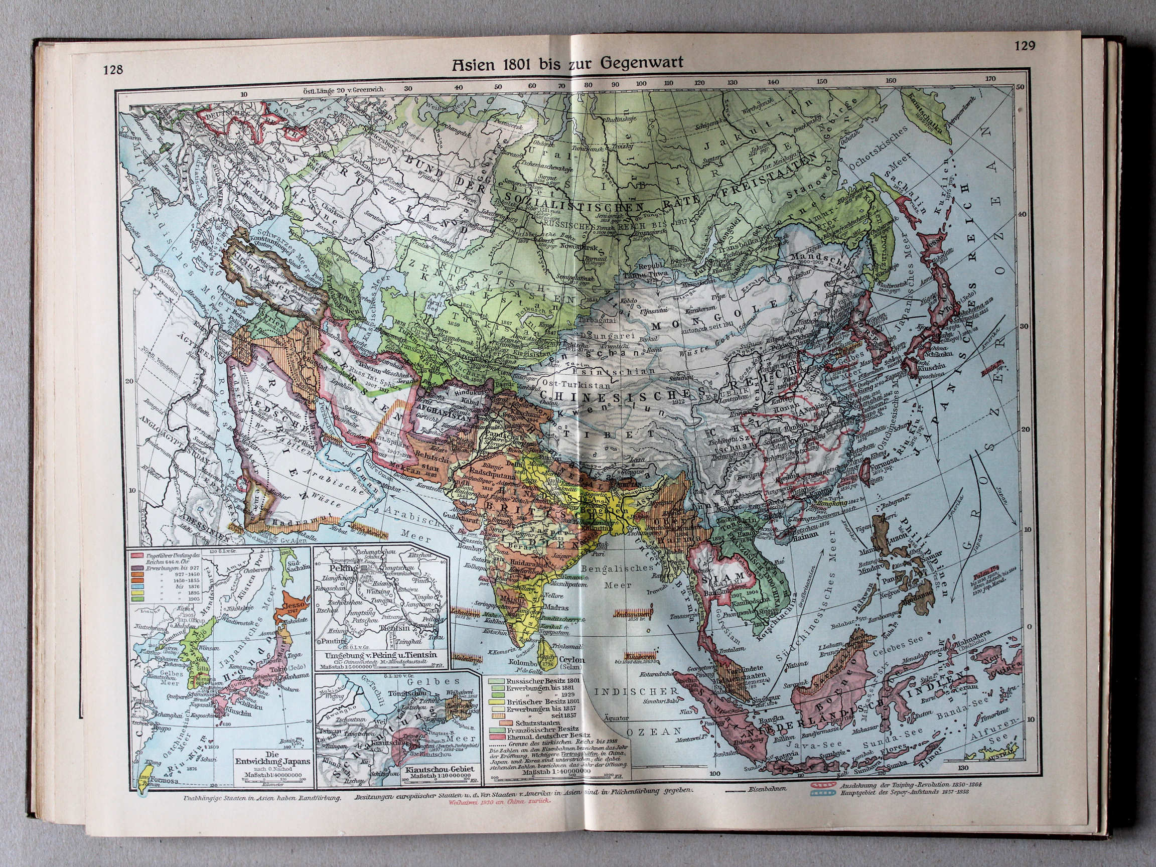
128.129. Asien 1801 bis zur Gegenwart XL
Azië van 1801 tot heden / Asia from 1801 until today
 Putzgers Historischer Schul-Atlas, Große Ausgabe, 1934
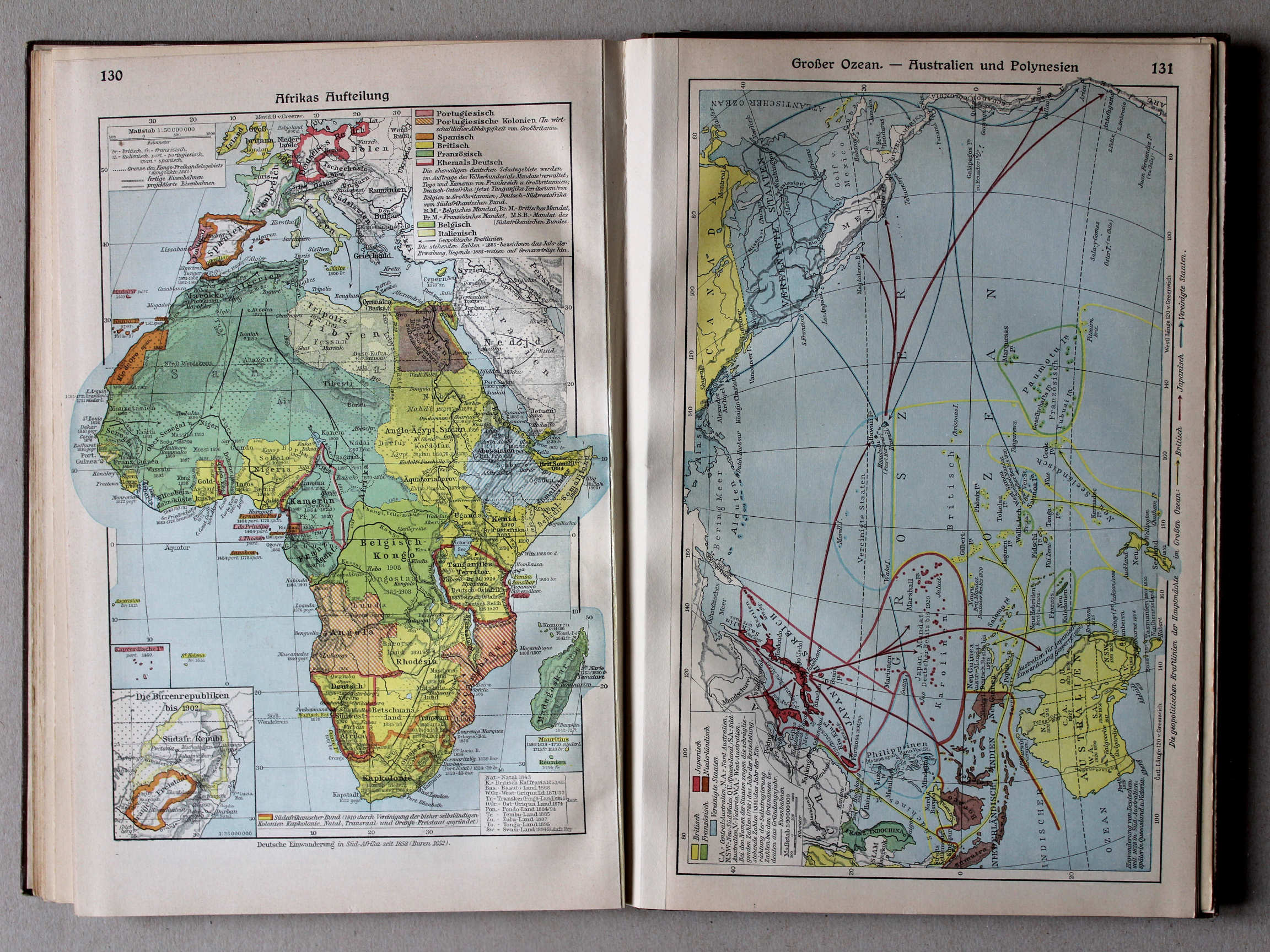
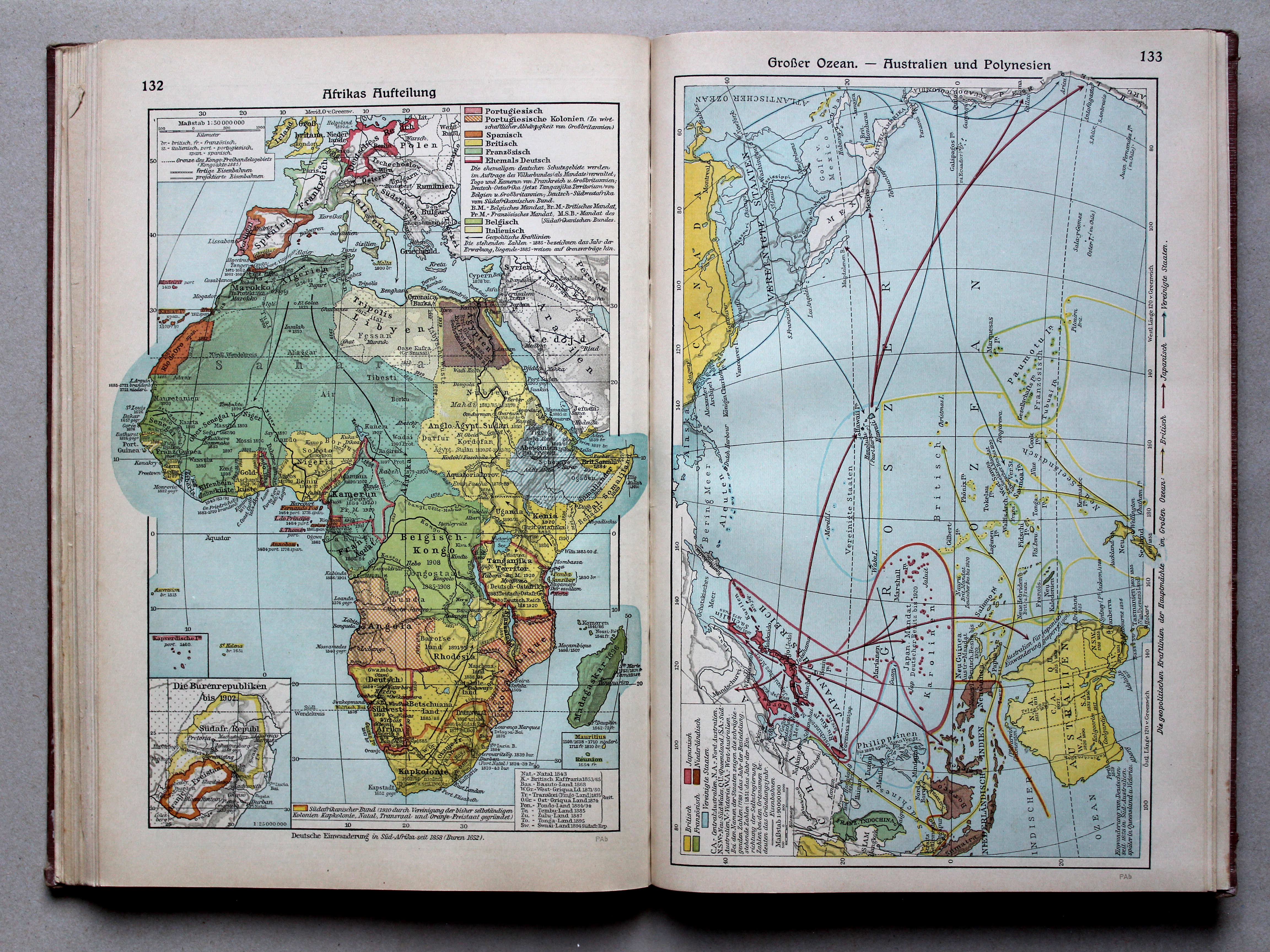
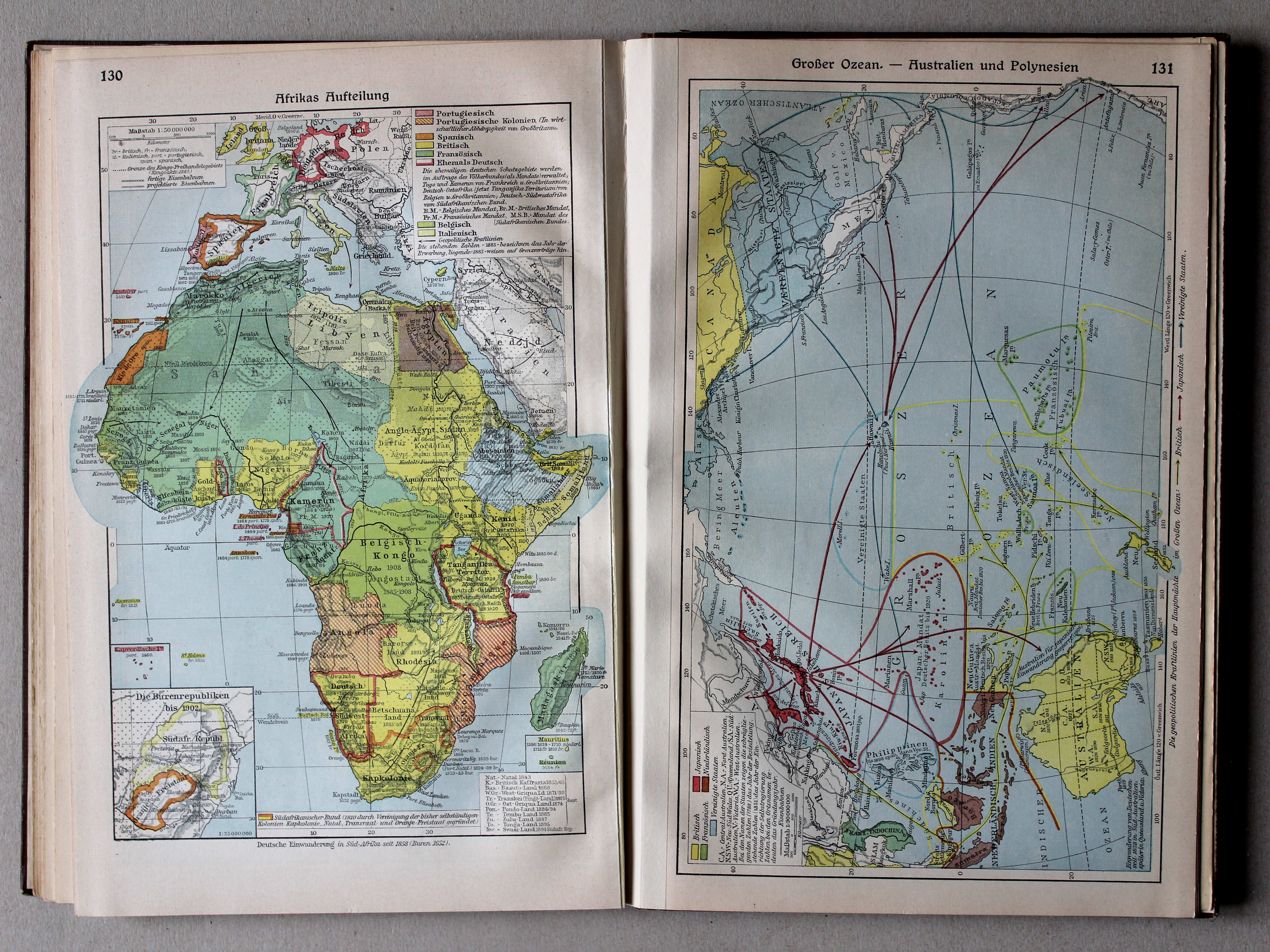
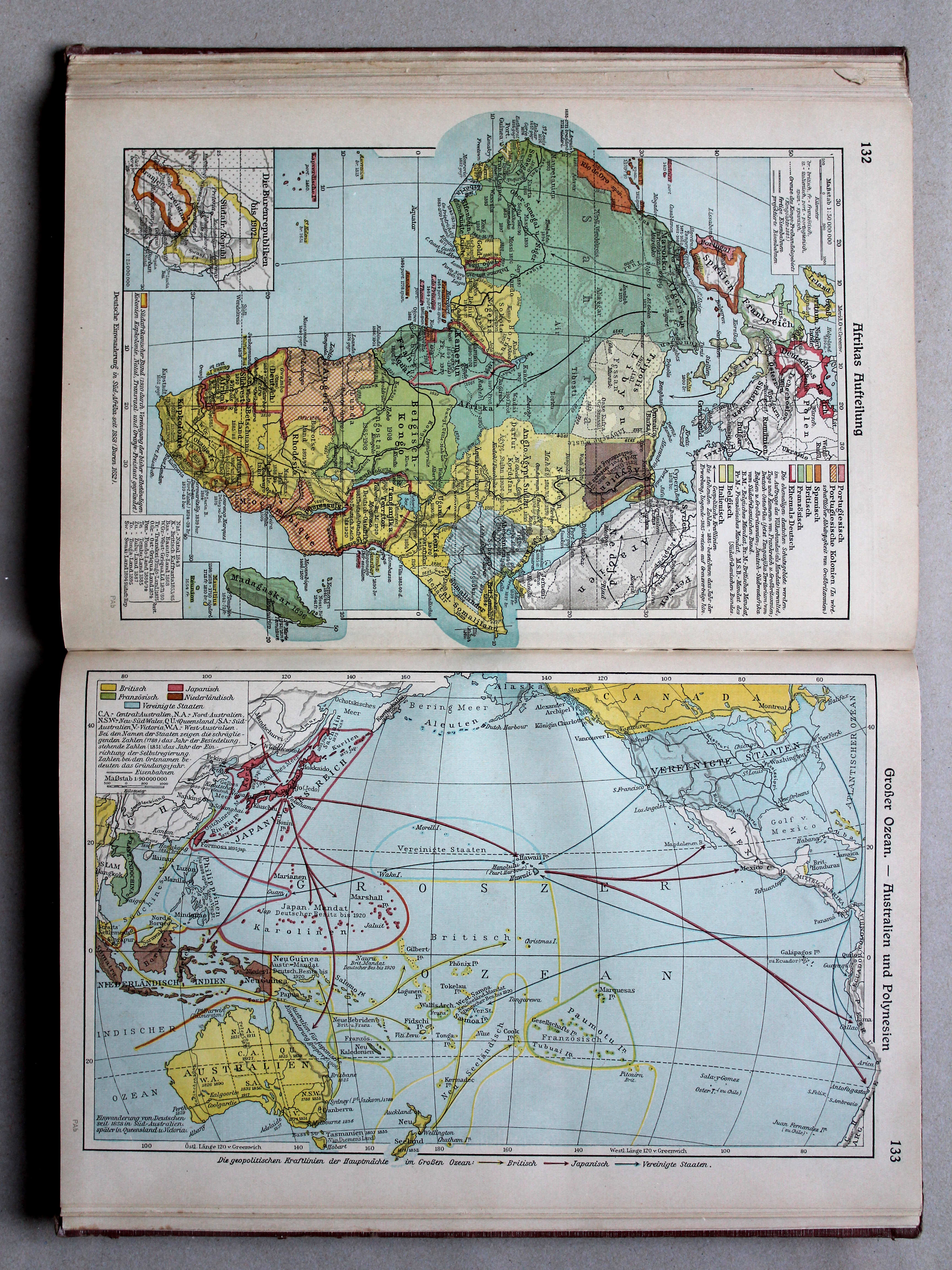
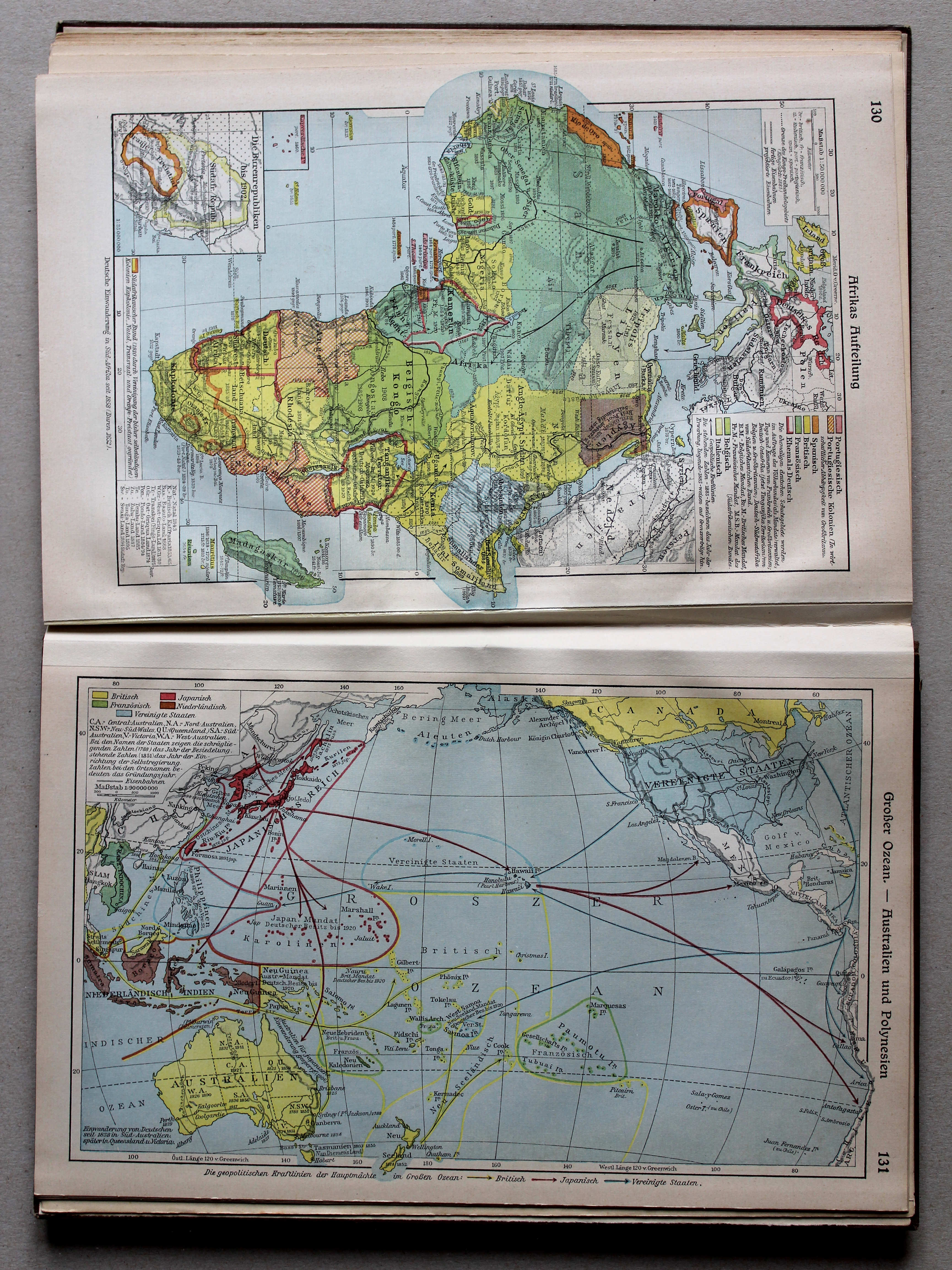
132. Aufteilung Afrikas XL
Opdeling van Afrika / Scramble for Africa
 Putzgers Historischer Schul-Atlas, Große Ausgabe, 1931/33
130. Aufteilung Afrikas XL
Opdeling van Afrika / Scramble for Africa
 Putzgers Historischer Schul-Atlas, Große Ausgabe, 1934
133. Großer Ozean – Australien und Polynesien XL
Grote Oceaan. Australië en Oceanië / Pacific Ocean. Australia and Oceania
 Putzgers Historischer Schul-Atlas, Große Ausgabe, 1931/33
131. Großer Ozean – Australien und Polynesien XL
Grote Oceaan. Australië en Oceanië / Pacific Ocean. Australia and Oceania
 Putzgers Historischer Schul-Atlas, Große Ausgabe, 1934
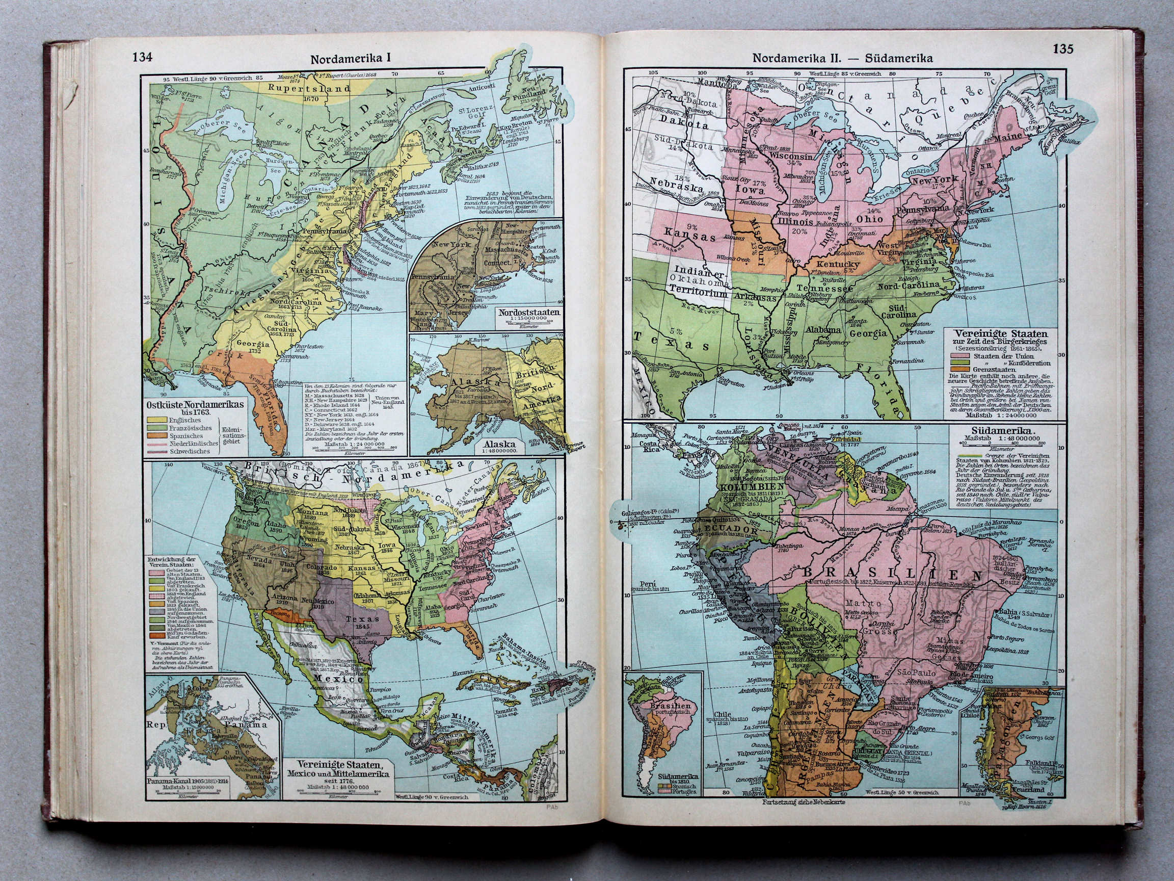
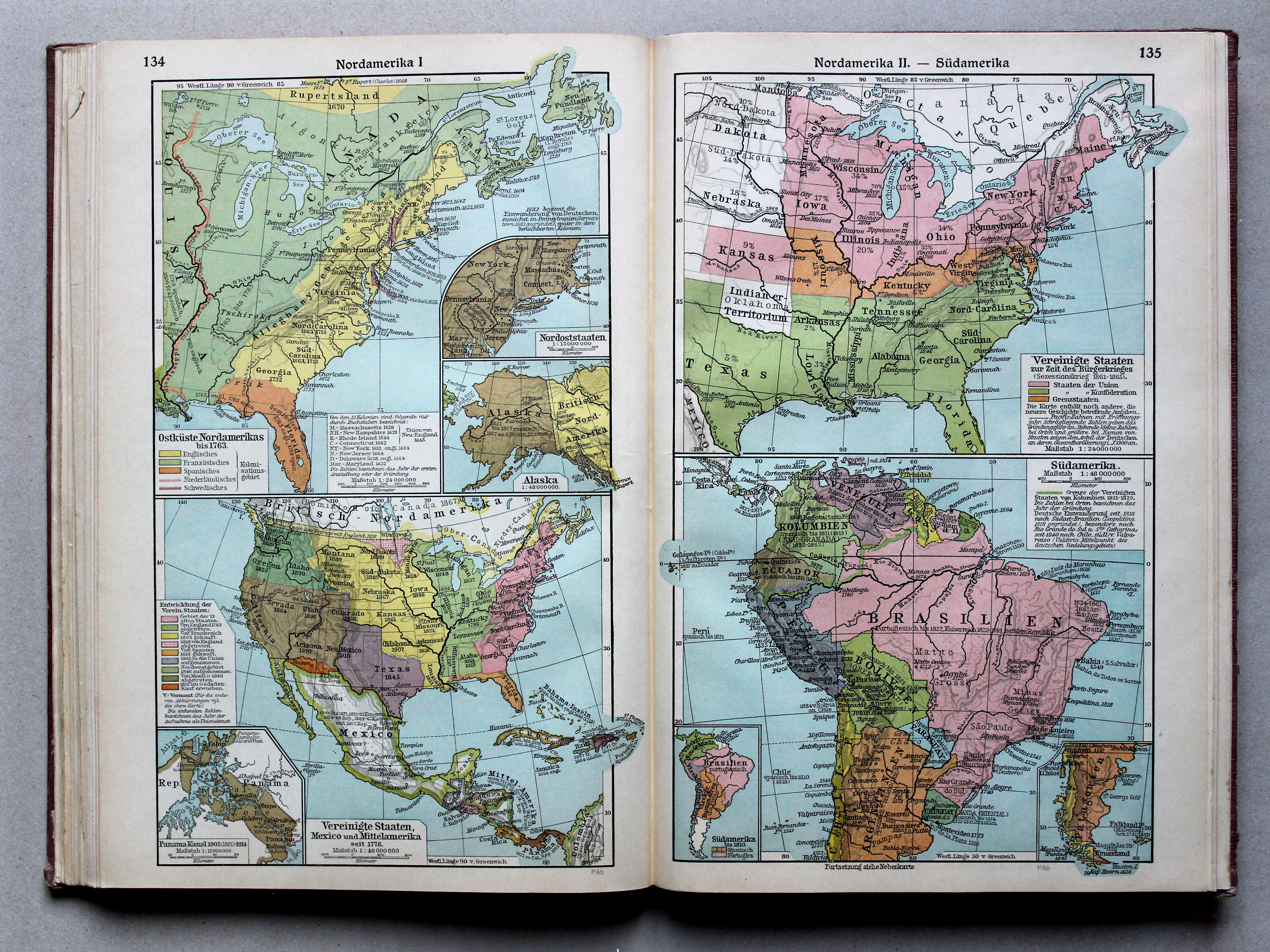
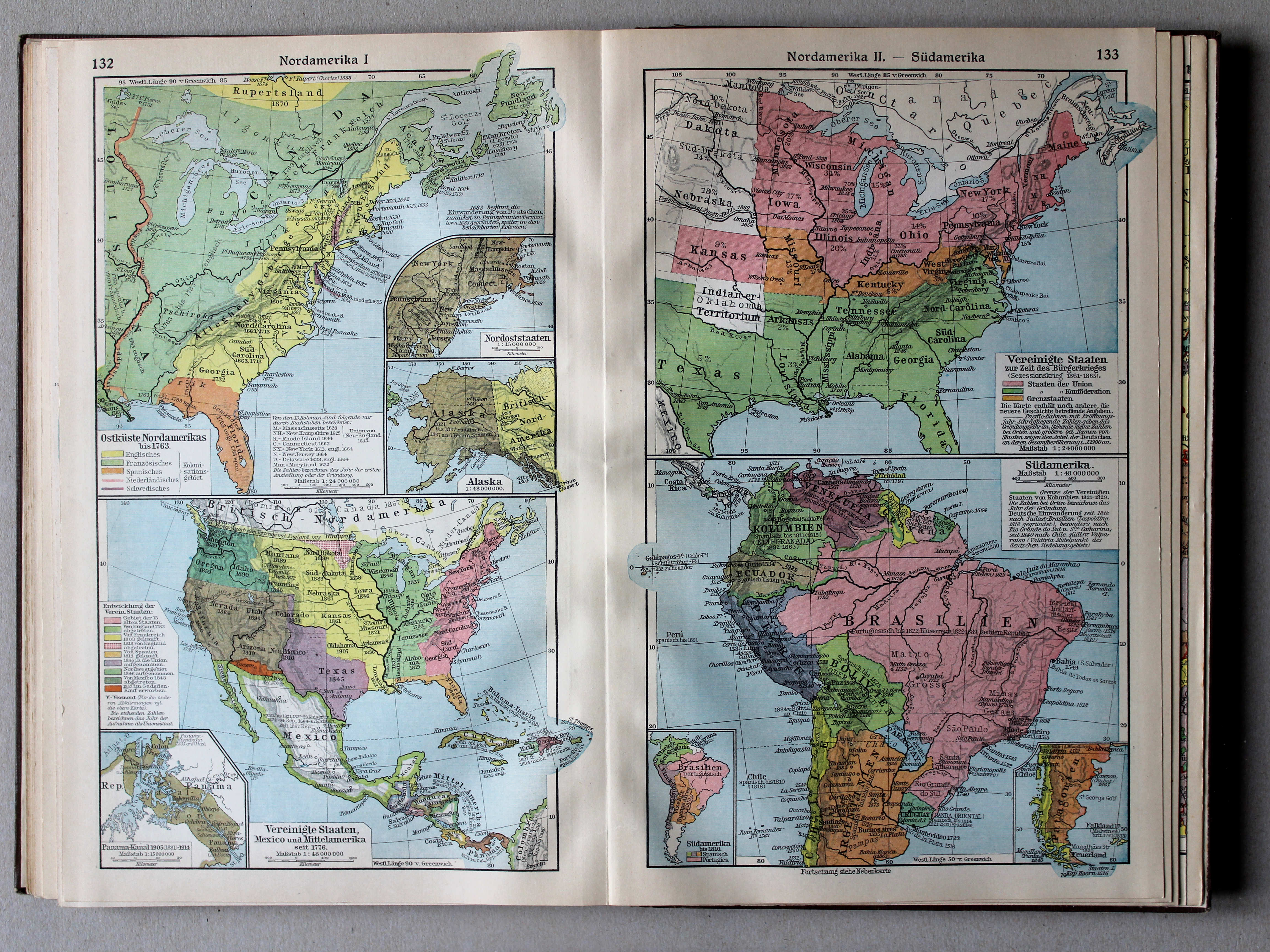
134. Nordamerika I XL
Noord-Amerika I / North America I
135. Nordamerika II – Südamerika XL
Noord-Amerika II. Zuid-Amerika / North America II. South America
 Putzgers Historischer Schul-Atlas, Große Ausgabe, 1931/33
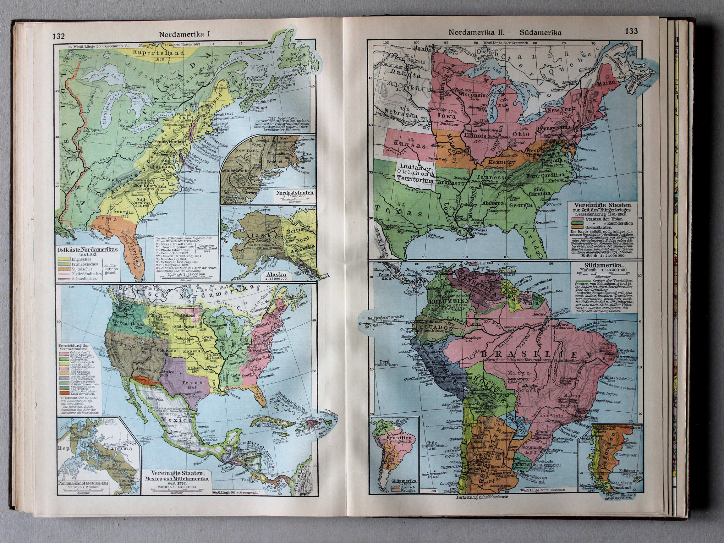
132. Nordamerika I XL
Noord-Amerika I / North America I
133. Nordamerika II – Südamerika XL
Noord-Amerika II. Zuid-Amerika / North America II. South America
Putzgers Historischer Schul-Atlas, Große Ausgabe, 1934
geen overeenkomstige kaart / no corresponding map
 Putzgers Historischer Schul-Atlas, Große Ausgabe, 1931/33
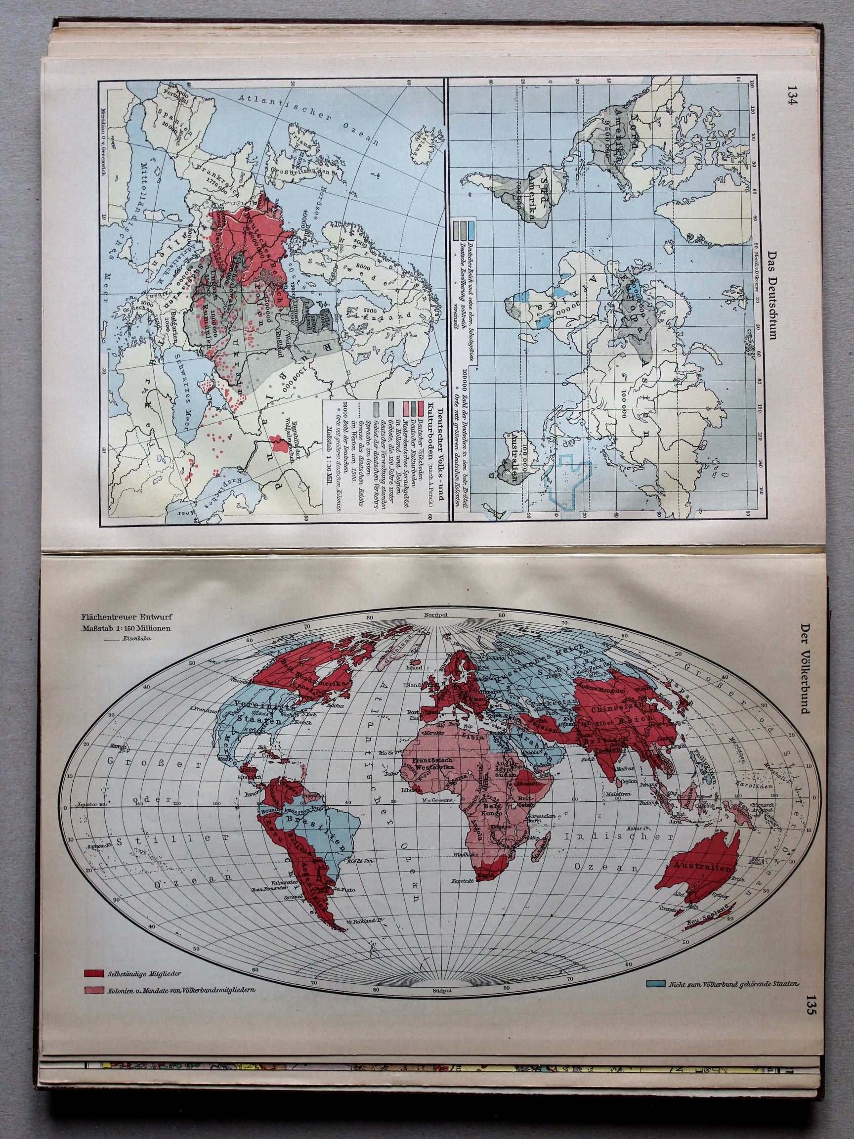
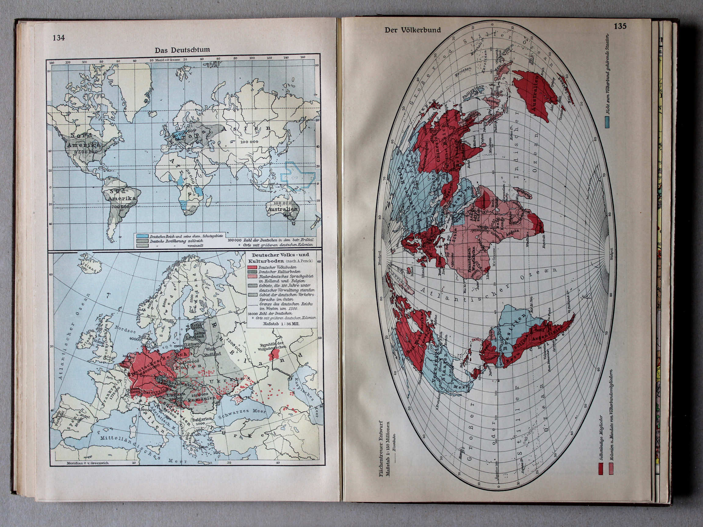
135. Der Völkerbund XL
De Volkenbond / The League of Nations
Putzgers Historischer Schul-Atlas, Große Ausgabe, 1934
geen overeenkomstige kaart / no corresponding map
 Putzgers Historischer Schul-Atlas, Große Ausgabe, 1931/33
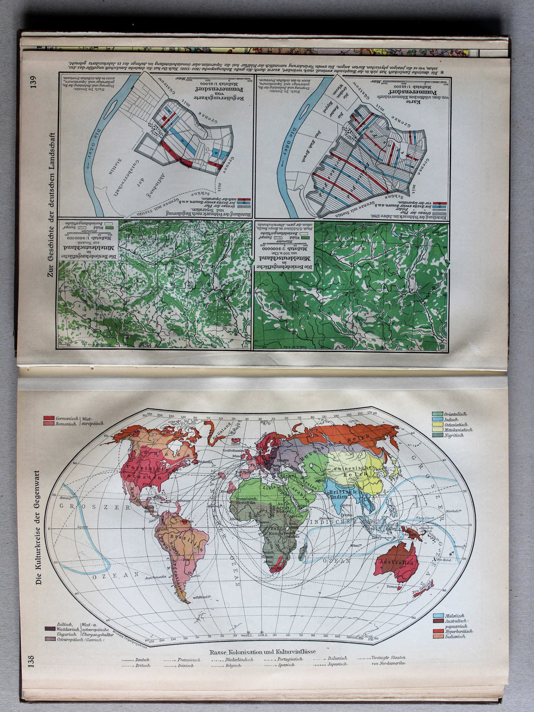
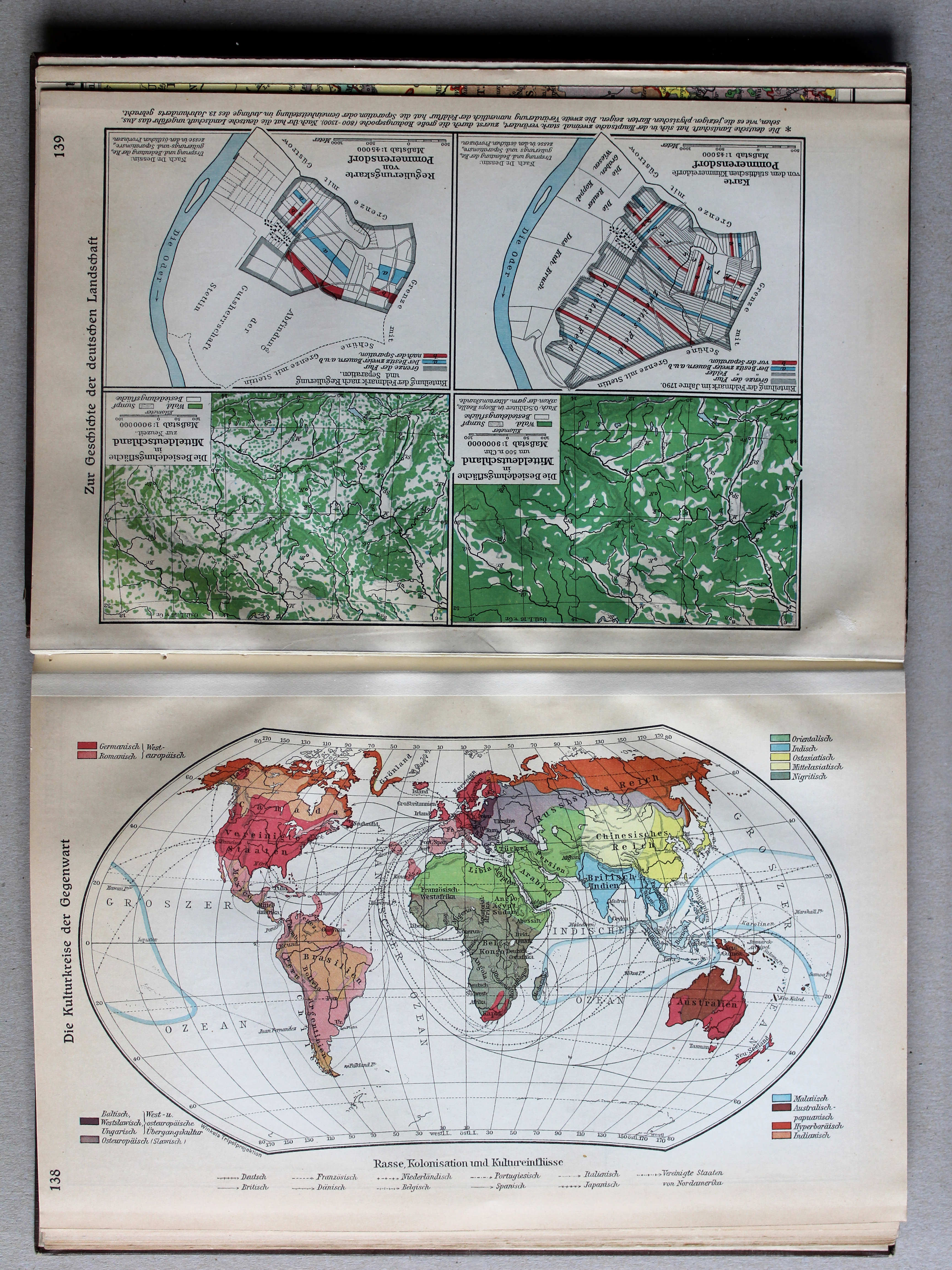
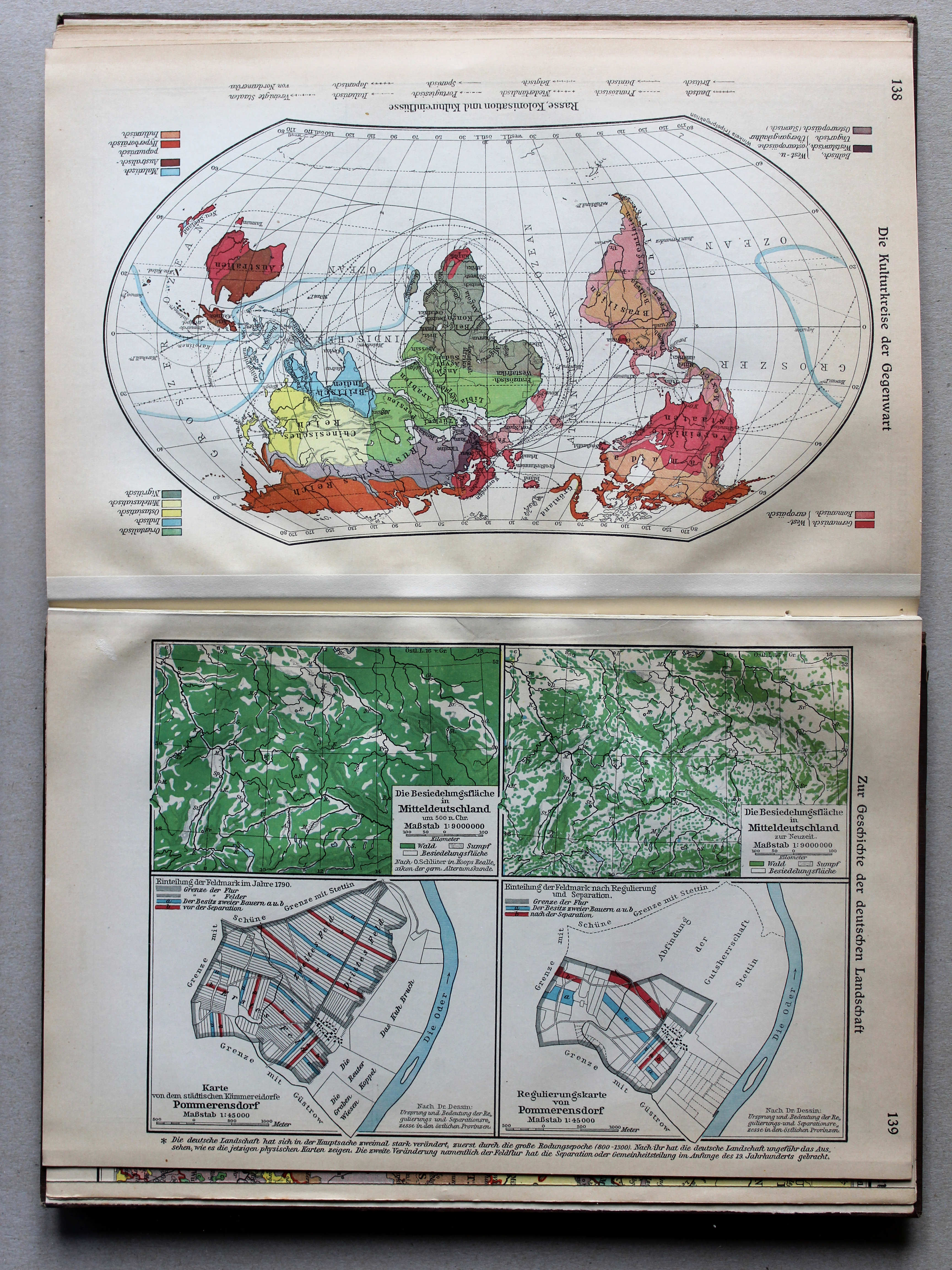
138. Die Kulturkreise der Gegenwart XL
Huidige beschavingen / Modern civilizations
 Putzgers Historischer Schul-Atlas, Große Ausgabe, 1934
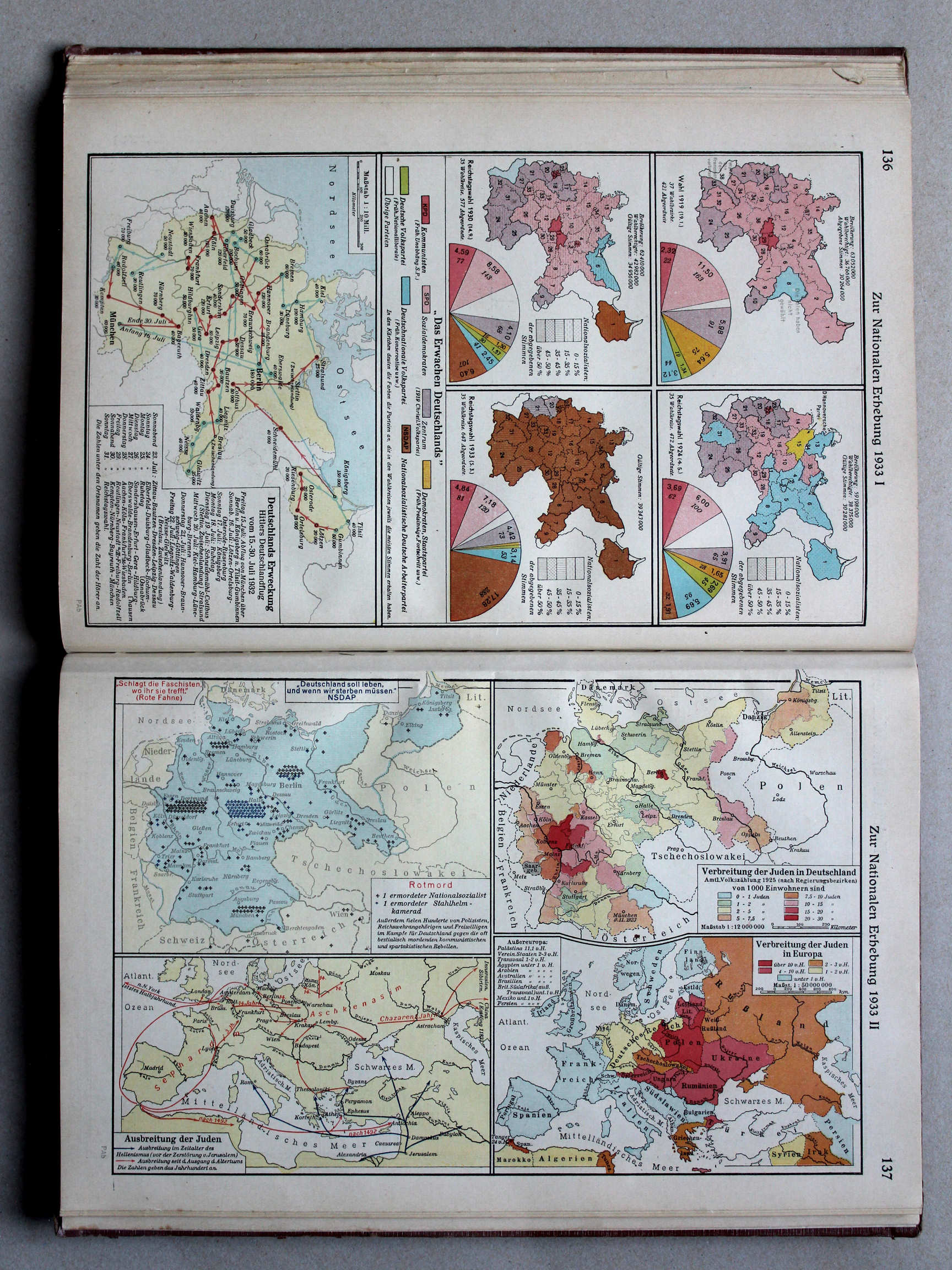
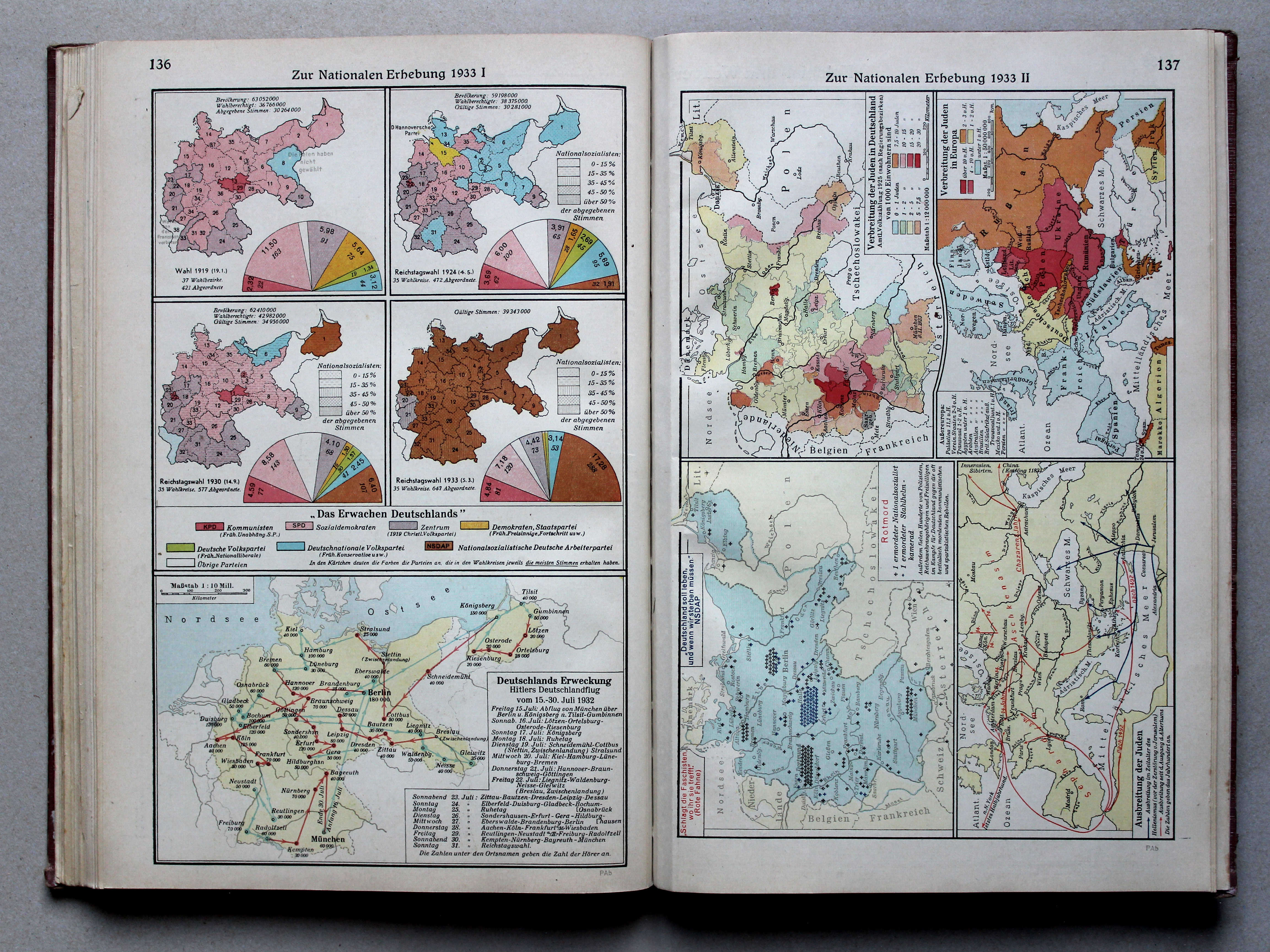
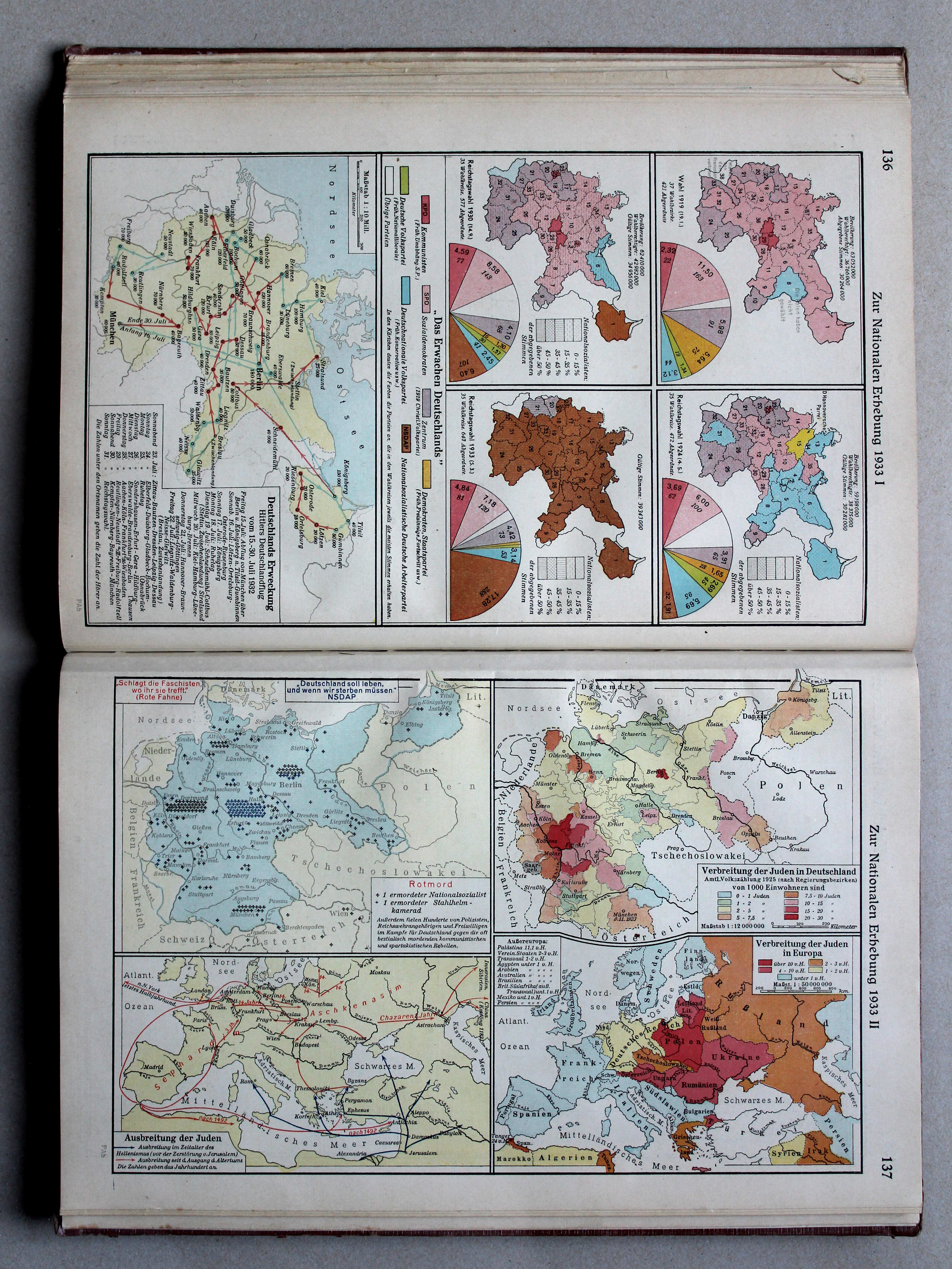
136. Zur nationalen Erhebung 1933 I XL
Machtsovername in 1933 I / Seizure of power in 1933 I
Putzgers Historischer Schul-Atlas, Große Ausgabe, 1931/33
geen overeenkomstige kaart / no corresponding map
 Putzgers Historischer Schul-Atlas, Große Ausgabe, 1934
137. Zur nationalen Erhebung 1933 II XL
Machtsovername in 1933 II / Seizure of power in 1933 II
Putzgers Historischer Schul-Atlas, Große Ausgabe, 1931/33
geen overeenkomstige kaart / no corresponding map
 Putzgers Historischer Schul-Atlas, Große Ausgabe, 1934
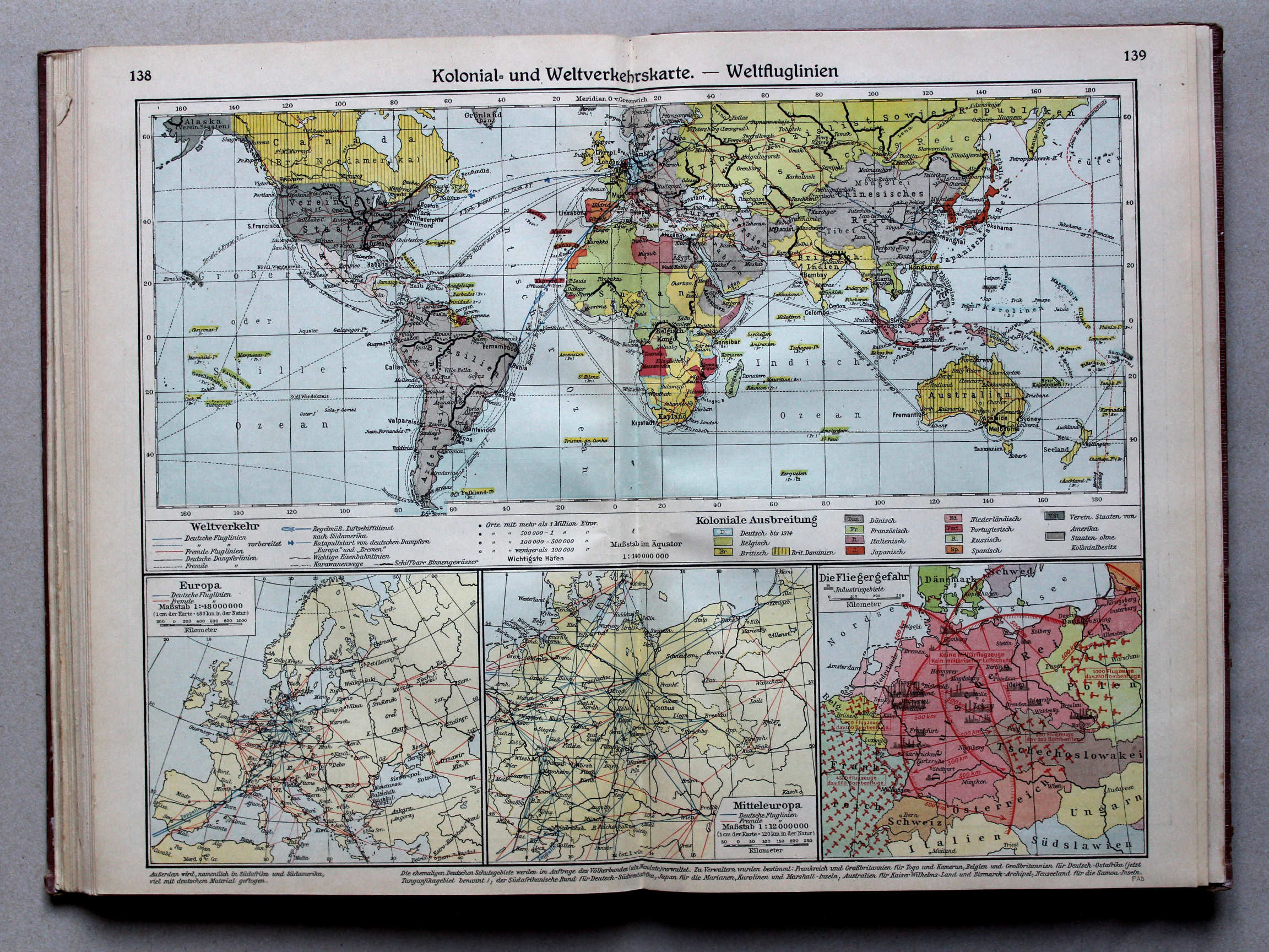
138.139. Kolonial- und Weltverkehrskarte – Weltfluglinien XL
Koloniën en verbindingen. Vliegroutes / Colonies and communication. Air transport routes
 Putzgers Historischer Schul-Atlas, Große Ausgabe, 1931/33
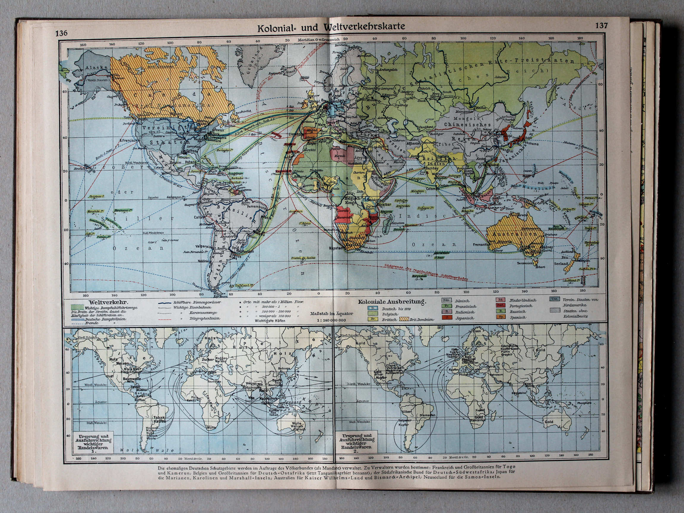
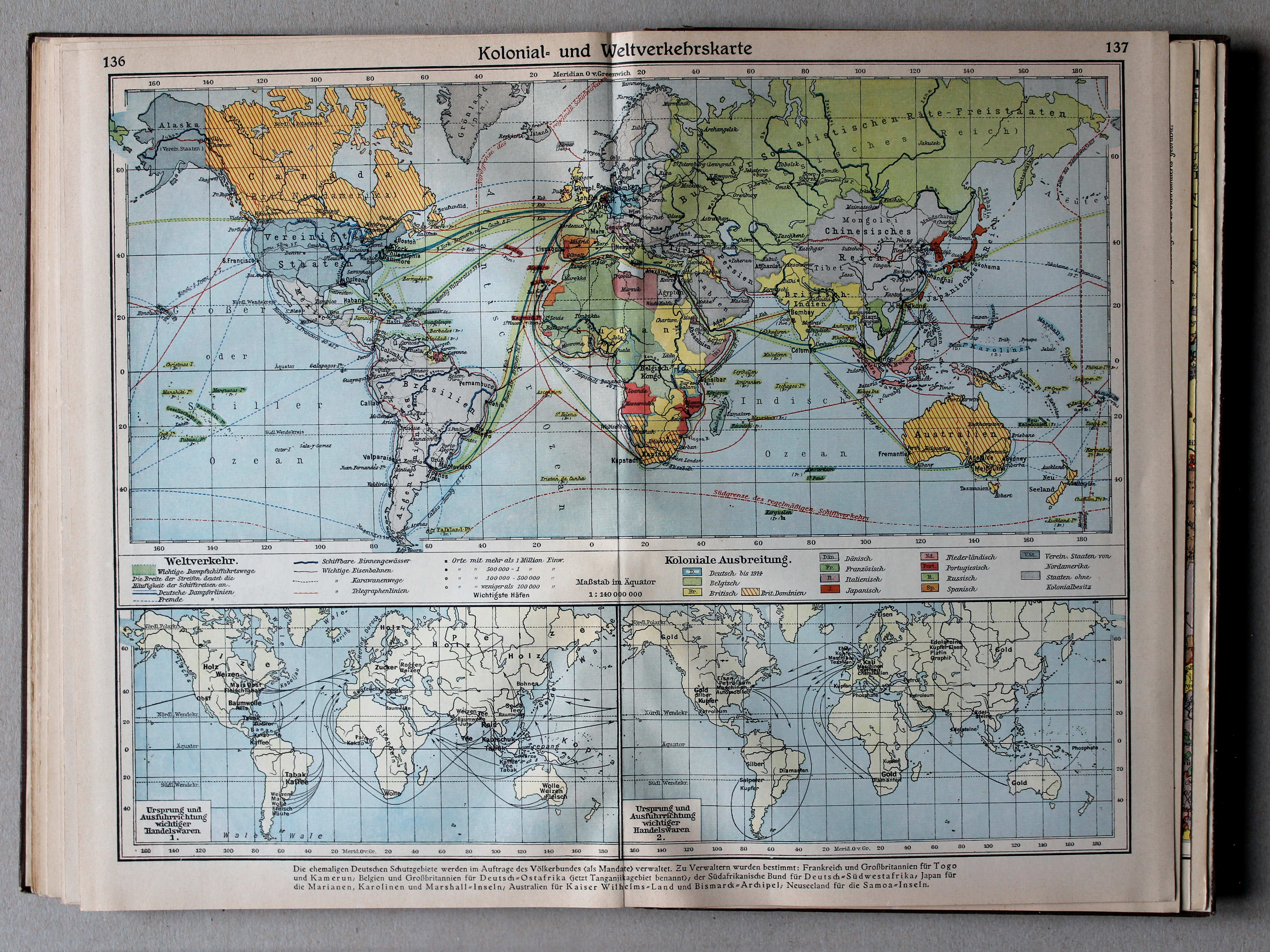
136.137. Kolonial- und Weltverkehrskarte XL
Koloniën en verbindingen / Colonies and communication
 Putzgers Historischer Schul-Atlas, Große Ausgabe, 1934
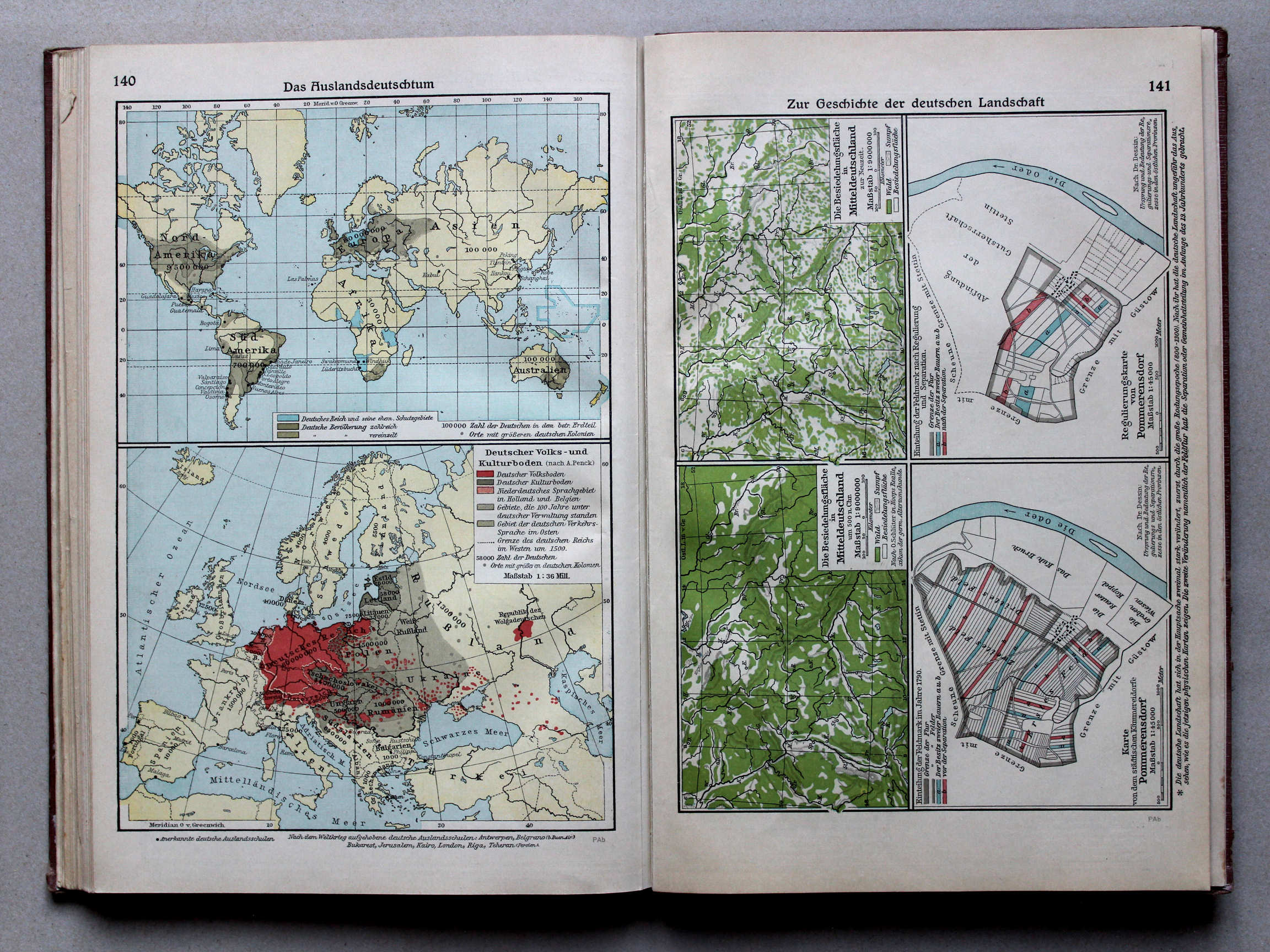
140. Das Auslandsdeutschtum XL
Duitsers in de wereld / Germans over the world
 Putzgers Historischer Schul-Atlas, Große Ausgabe, 1931/33
134. Das Deutschtum XL
Duitsers in de wereld / Germans over the world
 Putzgers Historischer Schul-Atlas, Große Ausgabe, 1934
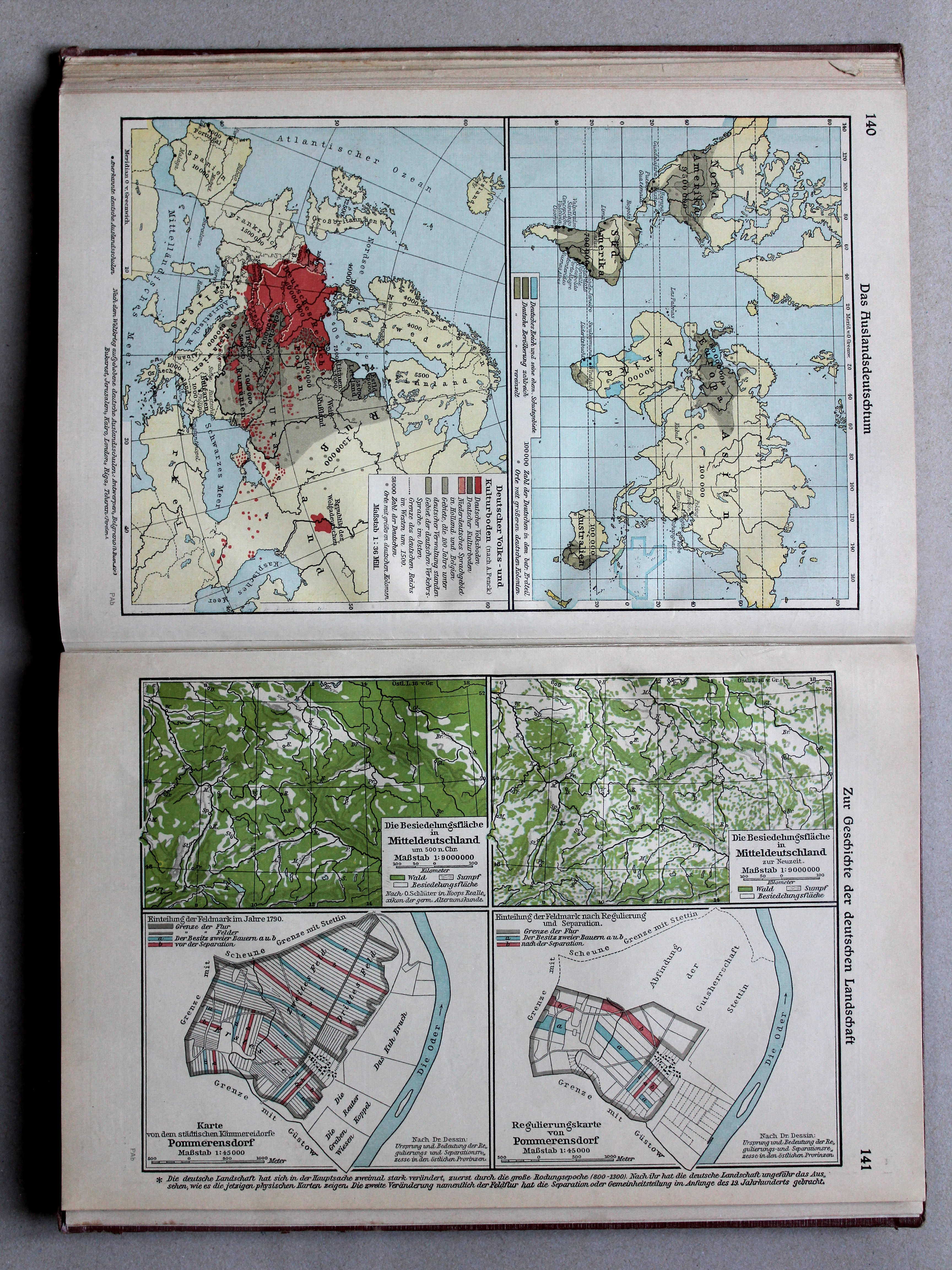
141. Zur Geschichte der deutschen Landschaft XL
Geschiedenis van het Duitse landschap / History of the German countryside
 Putzgers Historischer Schul-Atlas, Große Ausgabe, 1931/33
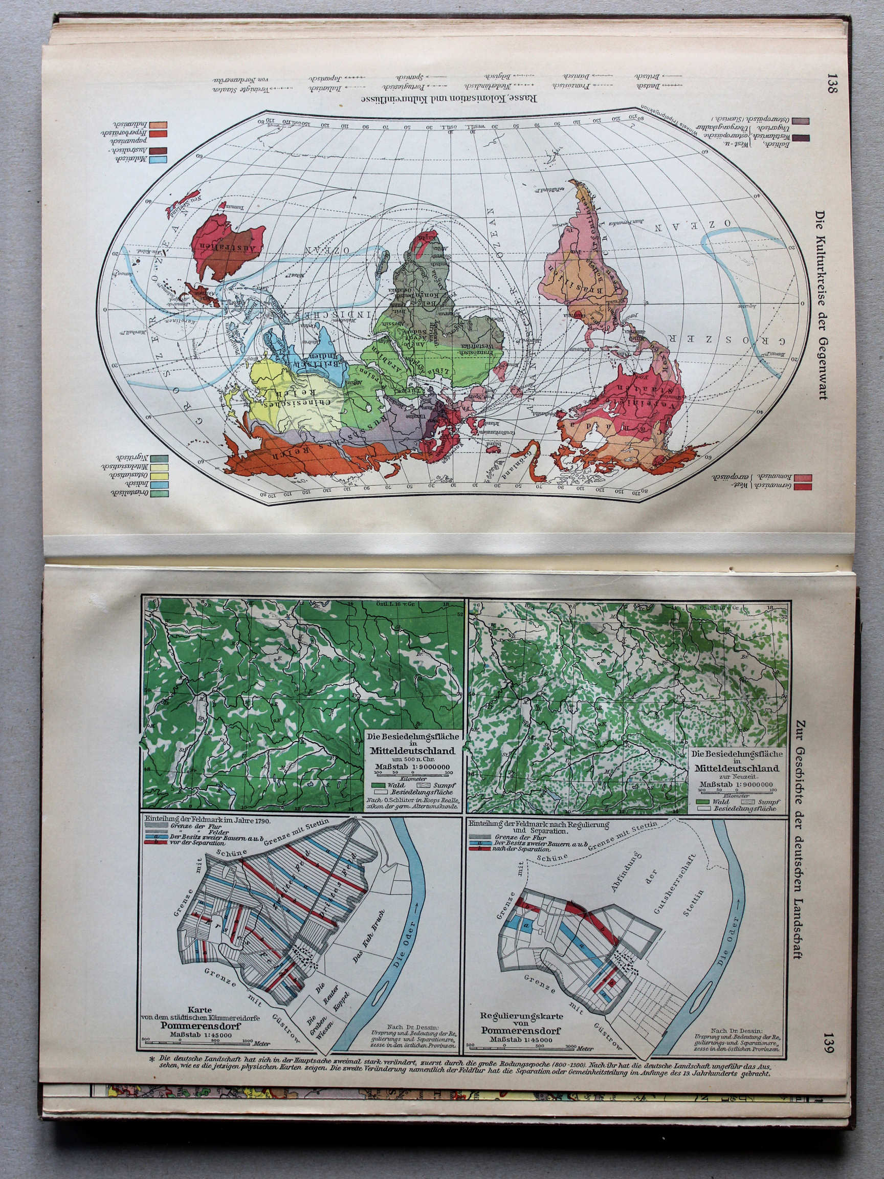
139. Zur Geschichte der deutschen Landschaft XL
Geschiedenis van het Duitse landschap / History of the German countryside
 Putzgers Historischer Schul-Atlas, Große Ausgabe, 1934
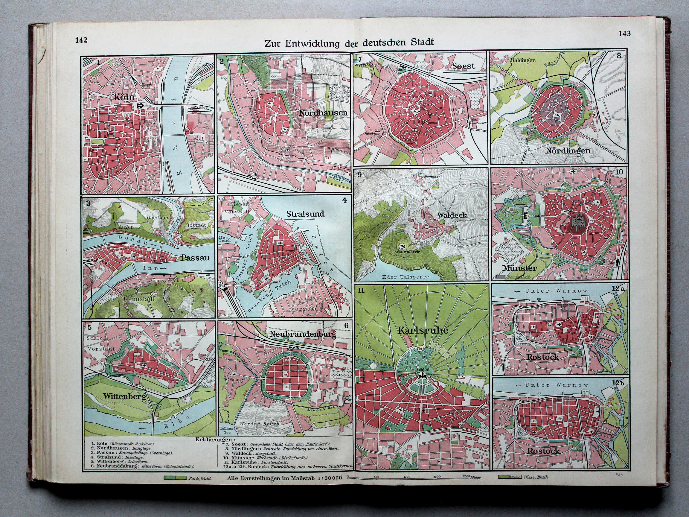
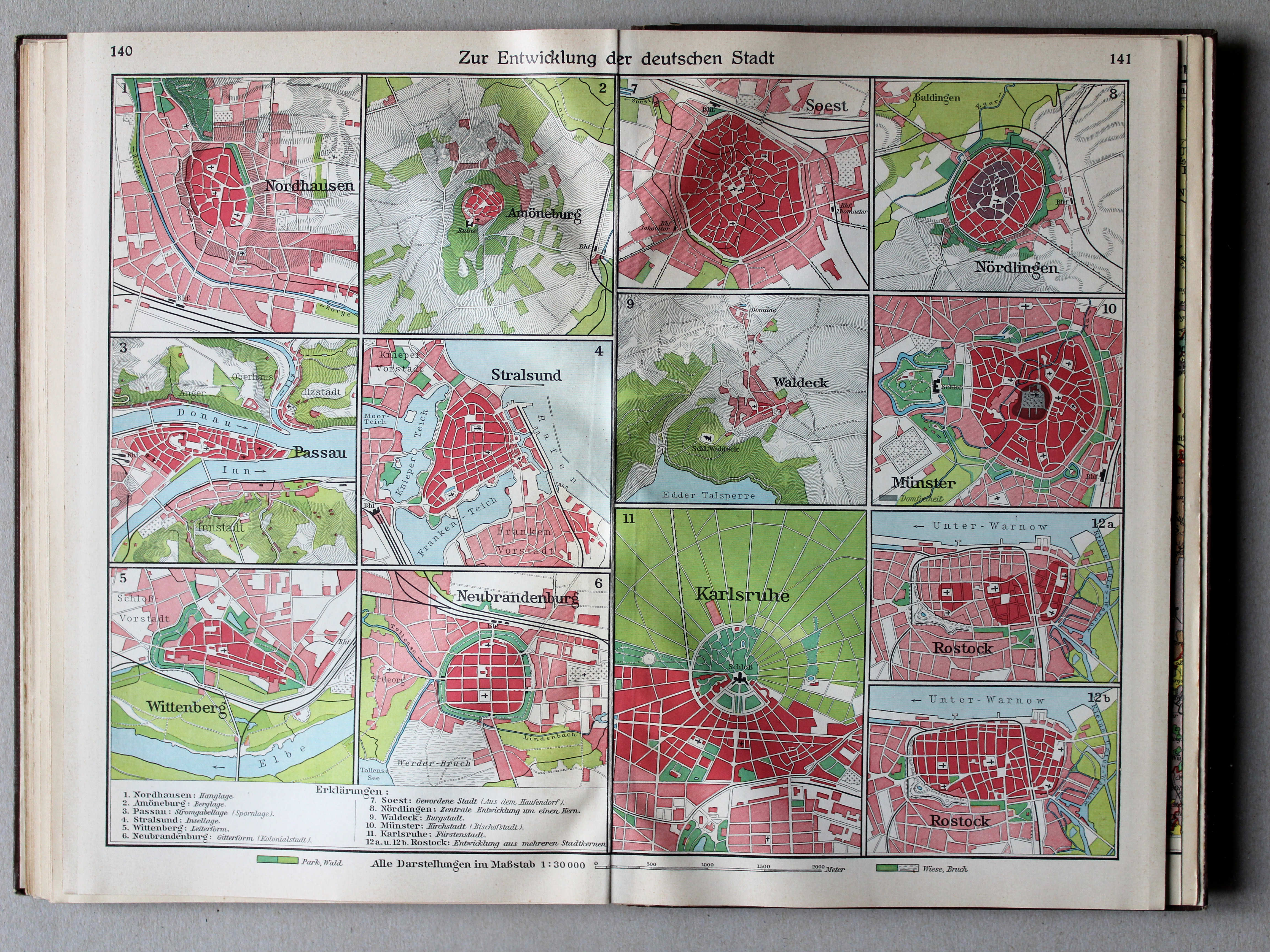
142.143. Zur Entwicklung der deutschen Stadt XL
Ontwikkeling van Duitse steden / Development of German cities
 Putzgers Historischer Schul-Atlas, Große Ausgabe, 1931/33
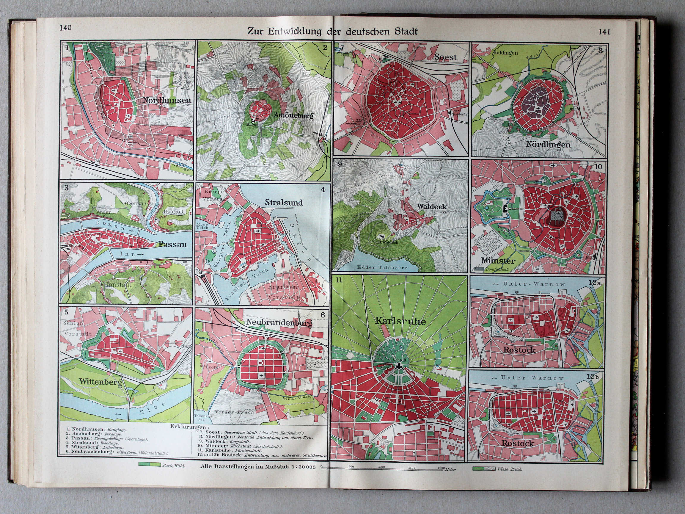
140.141. Zur Entwicklung der deutschen Stadt XL
Ontwikkeling van Duitse steden / Development of German cities
Putzgers Historischer Schul-Atlas, Große Ausgabe, 1934
geen overeenkomstige kaart / no corresponding map
 Putzgers Historischer Schul-Atlas, Große Ausgabe, 1931/33
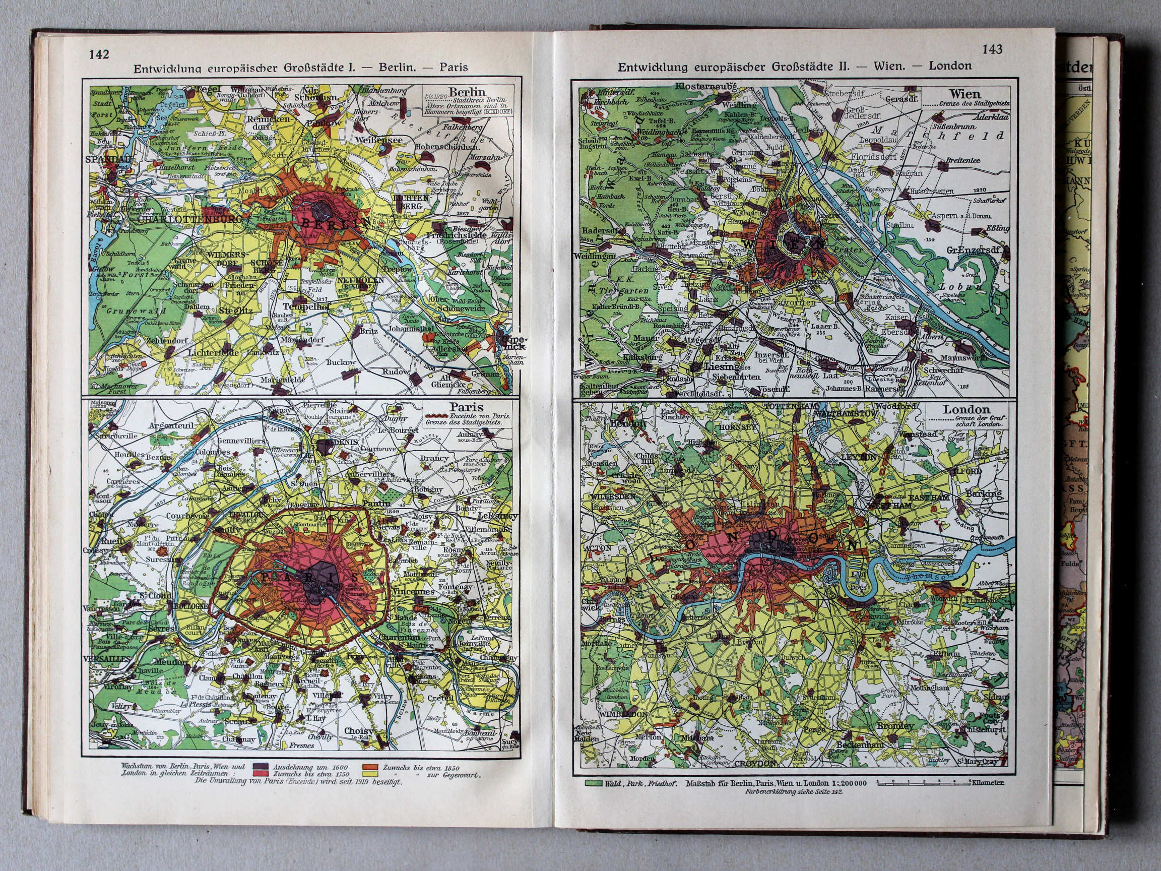
142. Entwicklung europäischer Großstädte I – Berlin – Paris XL
Ontwikkeling van Europese hoofdsteden I: Berlijn. Parijs / Development of European capitals I: Berlin. Paris
143. Entwicklung europäischer Großstädte II – Wien – London XL
Ontwikkeling van Europese hoofdsteden II: Wenen. Londen / Development of European capitals II: Vienna. London
 Putzgers Historischer Schul-Atlas, Große Ausgabe, 1934
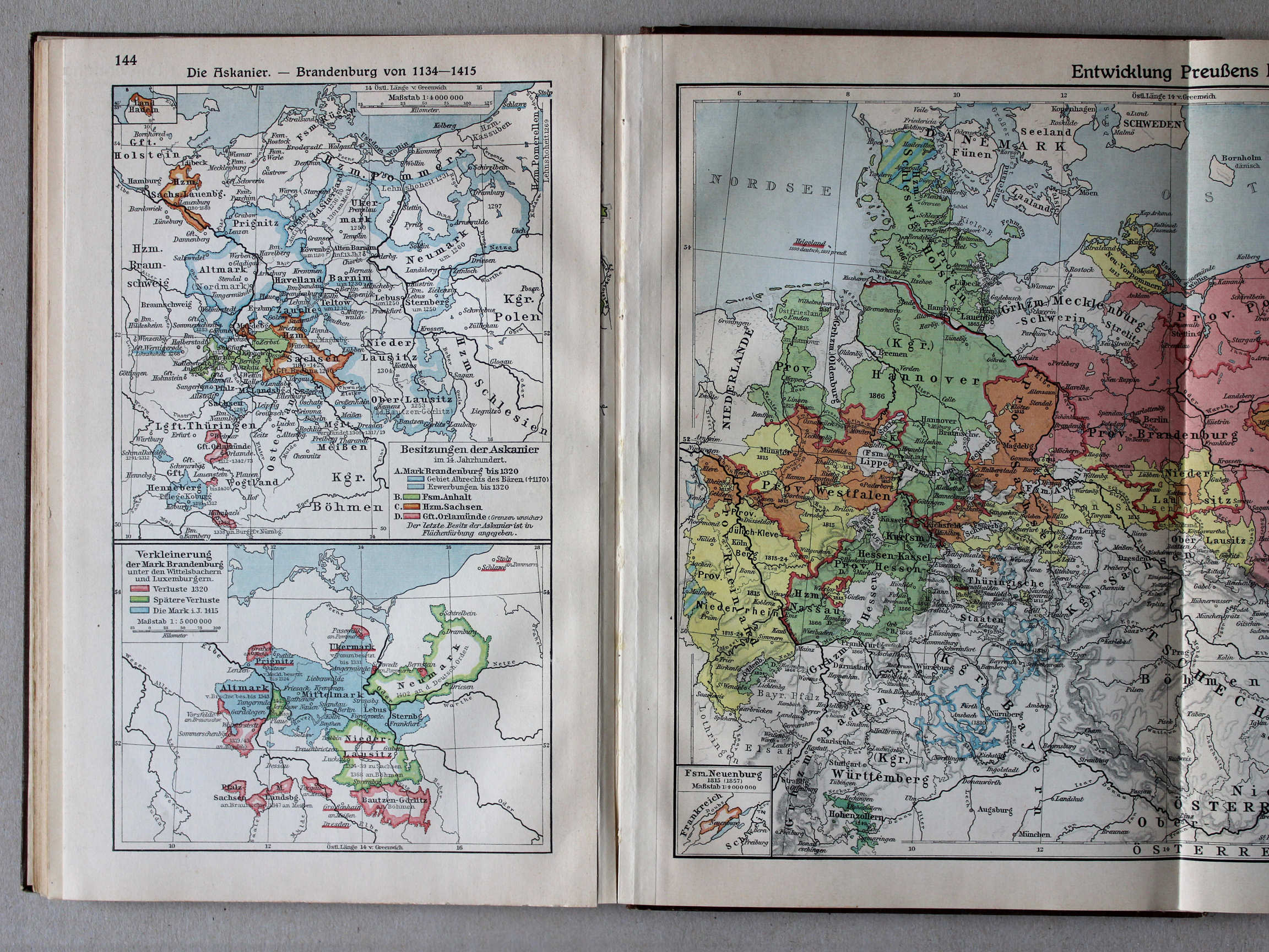
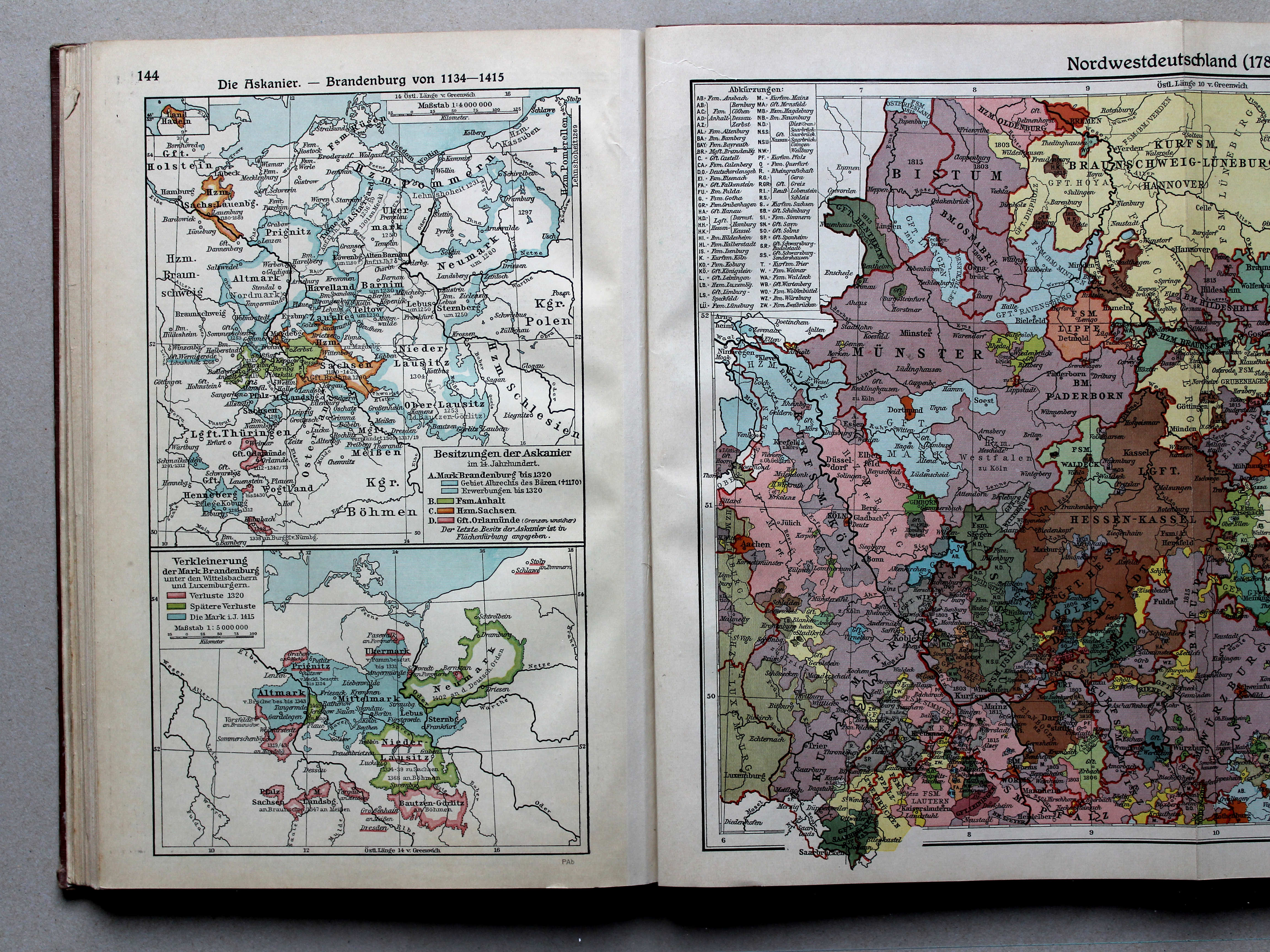
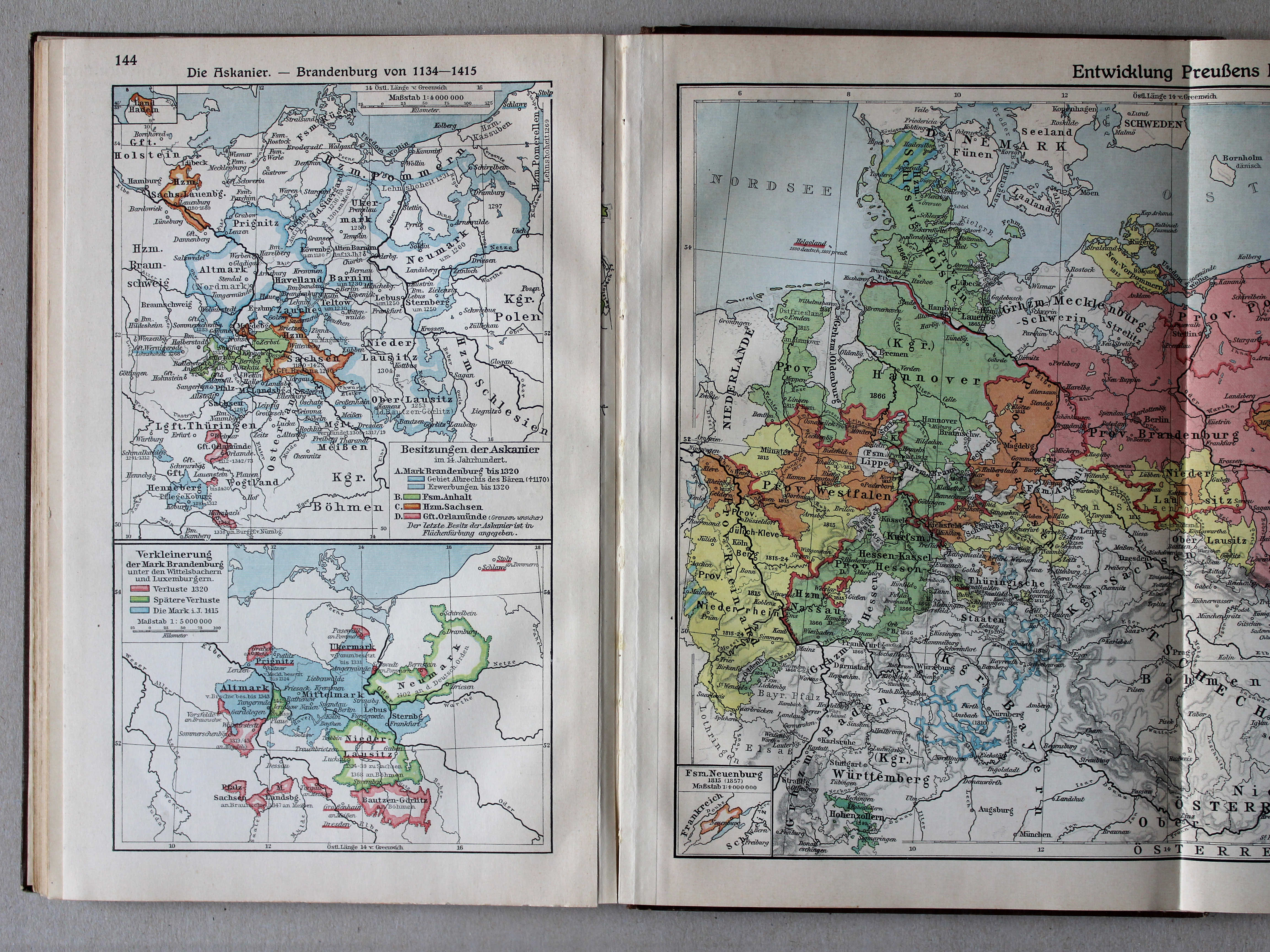
144. Die Askanier – Brandenburg von 1134-1415 XL
De Ascaniërs. Brandenburg 1134-1415 / The House of Ascania. Brandenburg 1134-1415
 Putzgers Historischer Schul-Atlas, Große Ausgabe, 1931/33
144. Die Askanier – Brandenburg von 1134-1415 XL
De Ascaniërs. Brandenburg 1134-1415 / The House of Ascania. Brandenburg 1134-1415
 Putzgers Historischer Schul-Atlas, Große Ausgabe, 1934
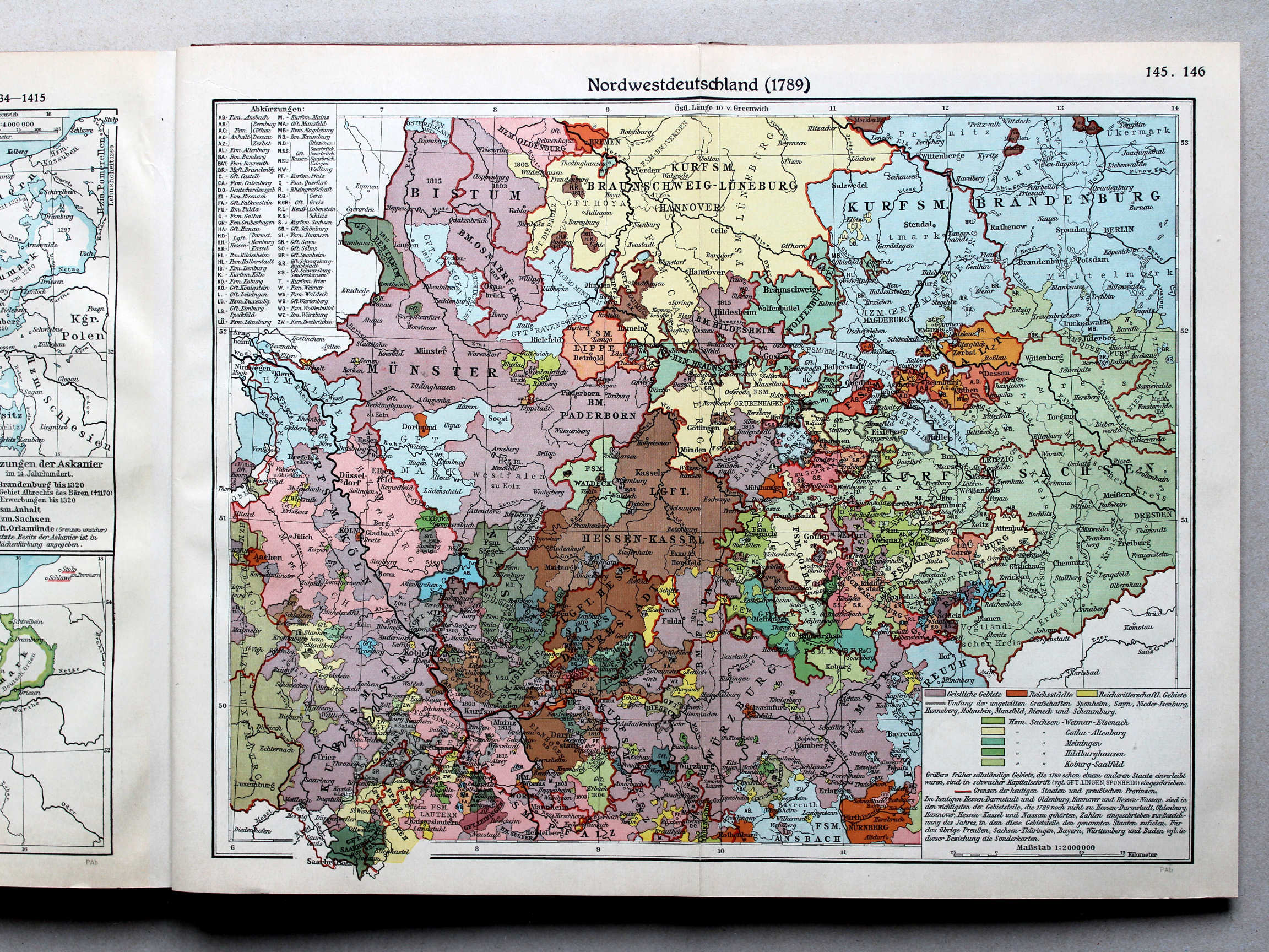
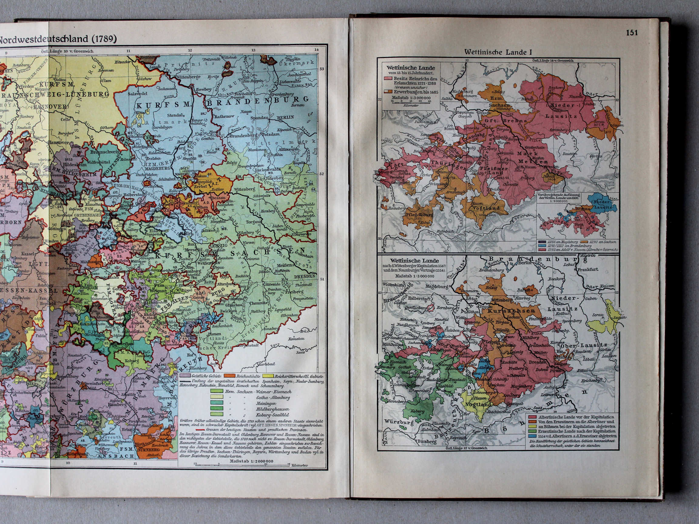
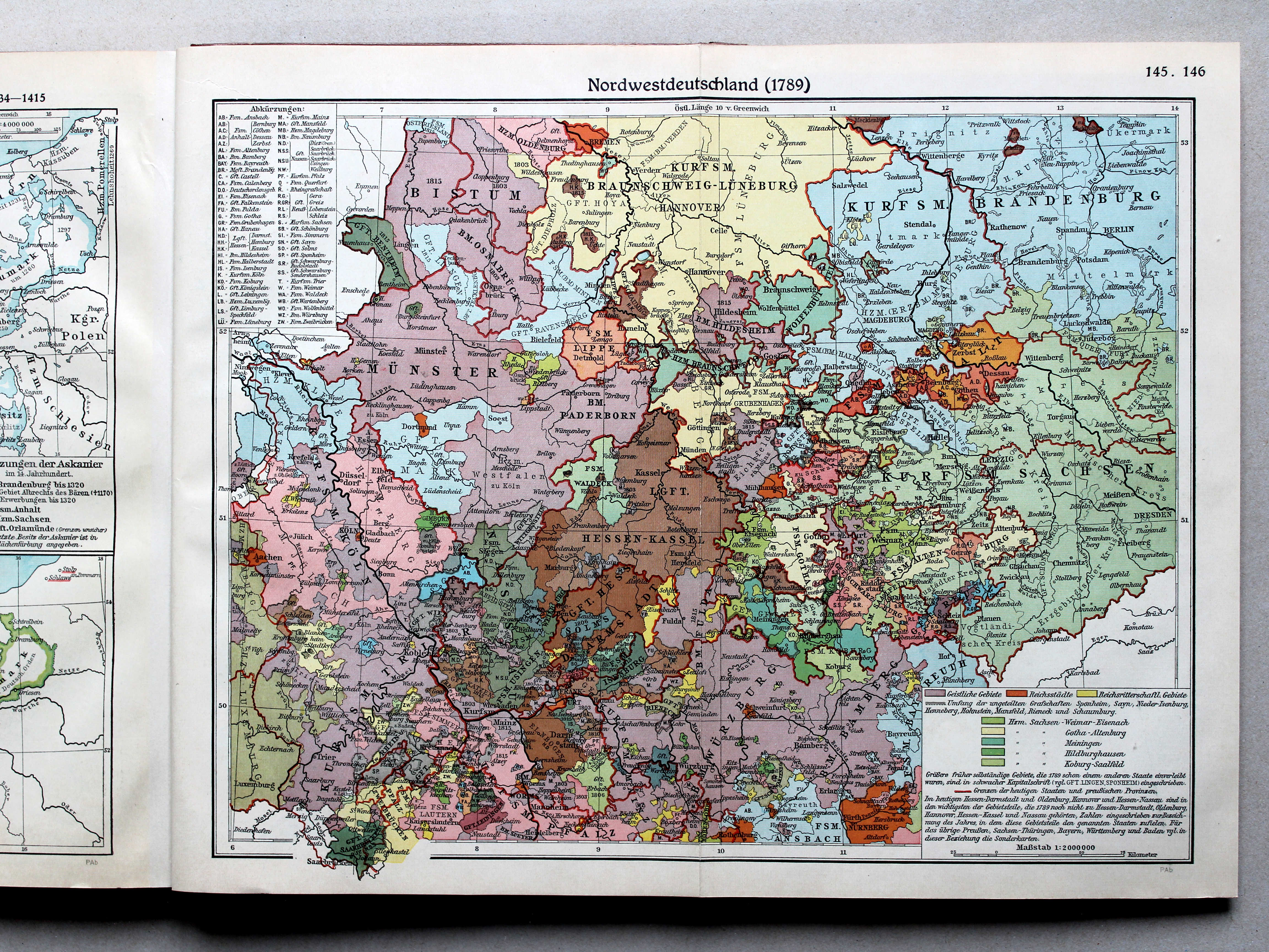
145.146. Nordwestdeutschland 1789 XL
Noordwest-Duitsland in 1789 / Northwest Germany in 1789
 Putzgers Historischer Schul-Atlas, Große Ausgabe, 1931/33
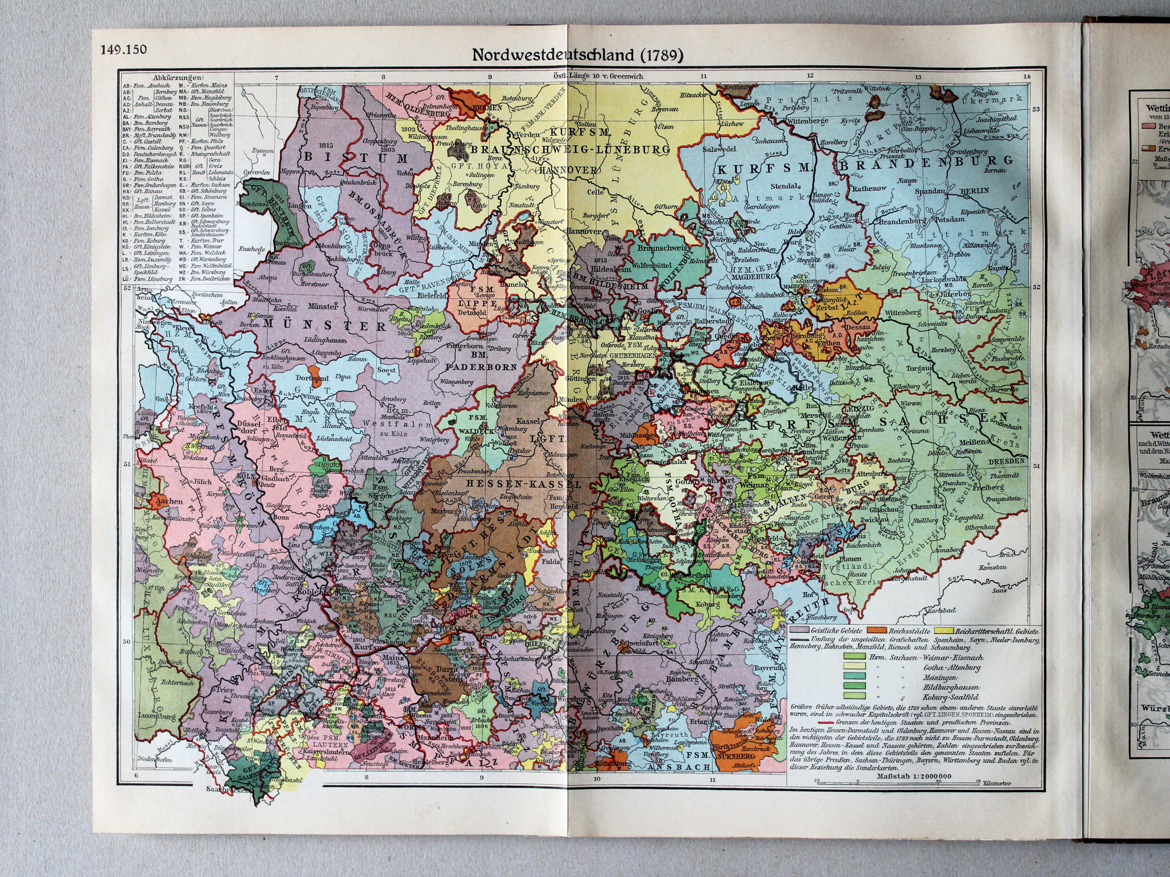
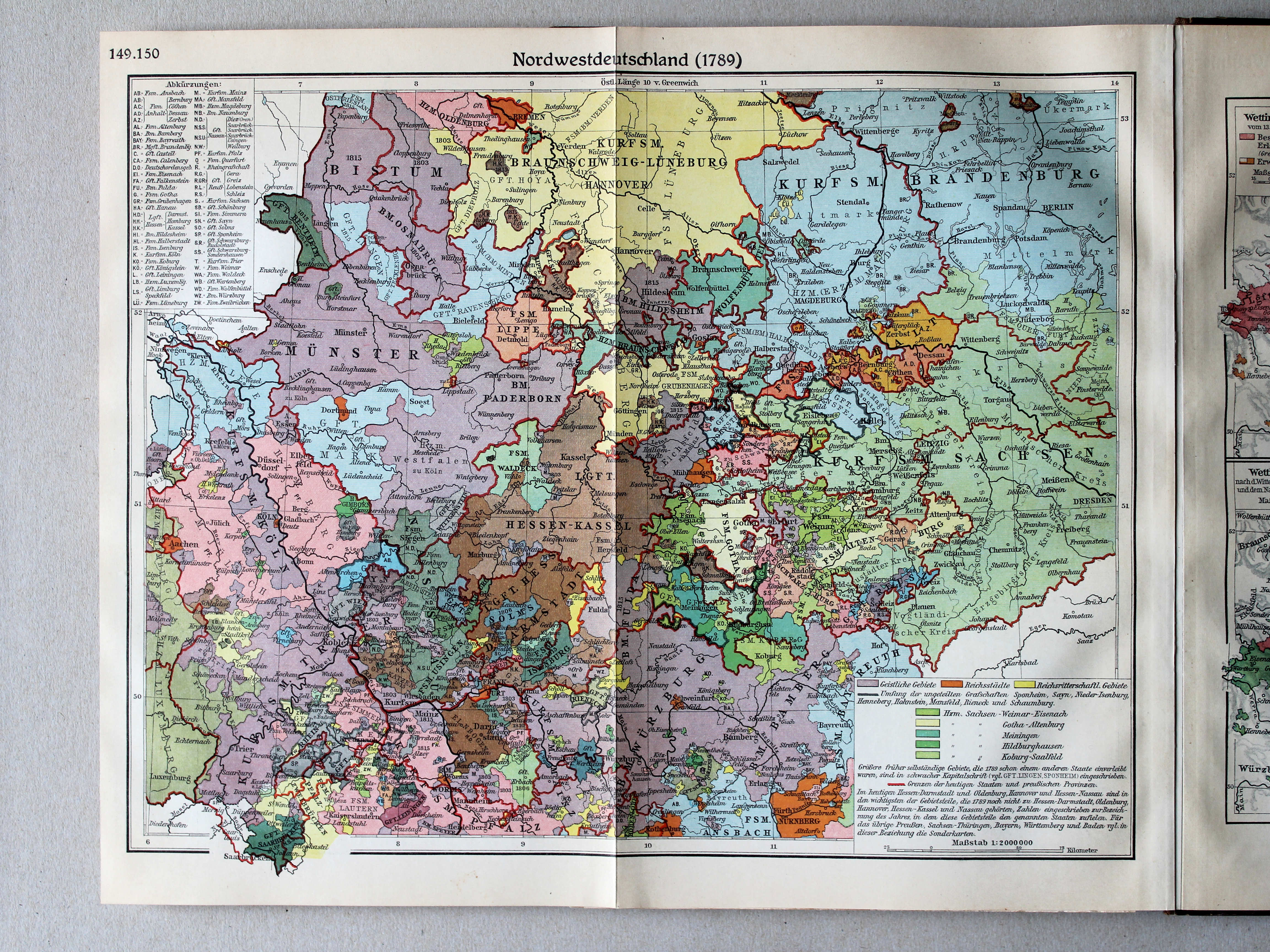
149.150. Nordwestdeutschland 1789 XL
Noordwest-Duitsland in 1789 / Northwest Germany in 1789
 Putzgers Historischer Schul-Atlas, Große Ausgabe, 1934
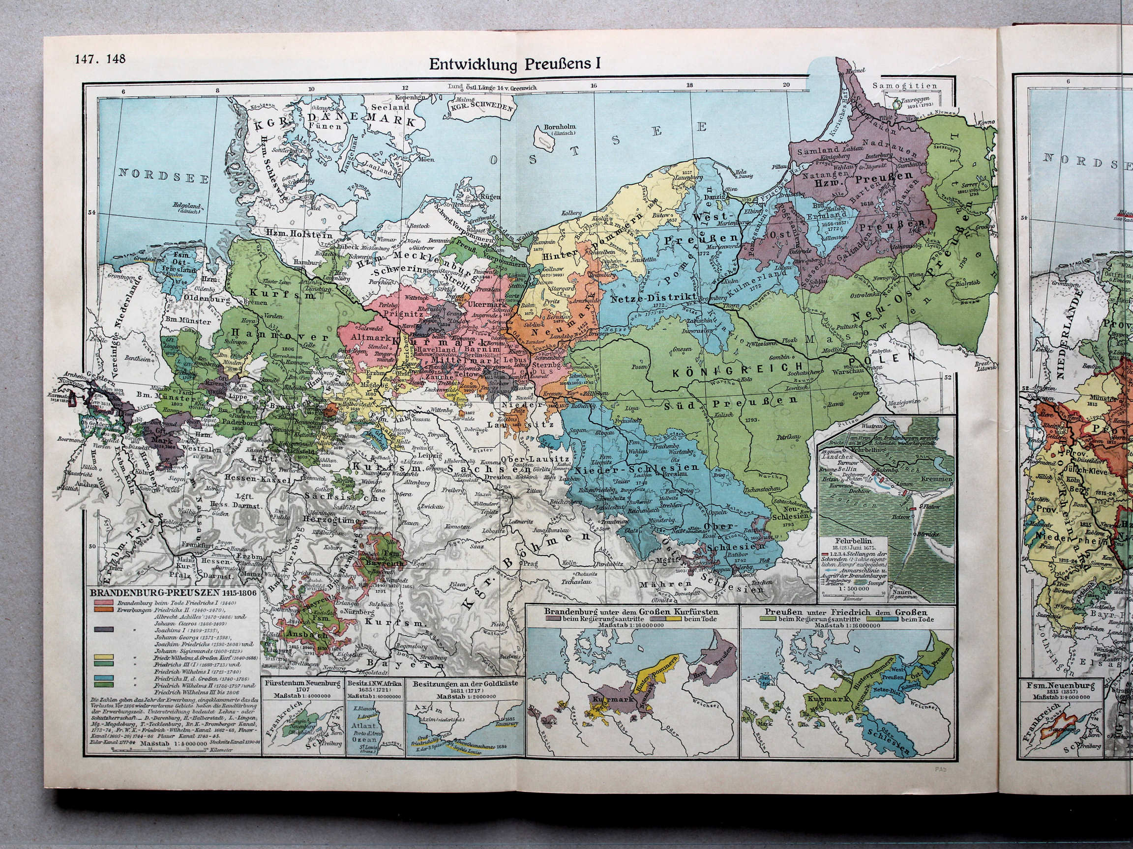
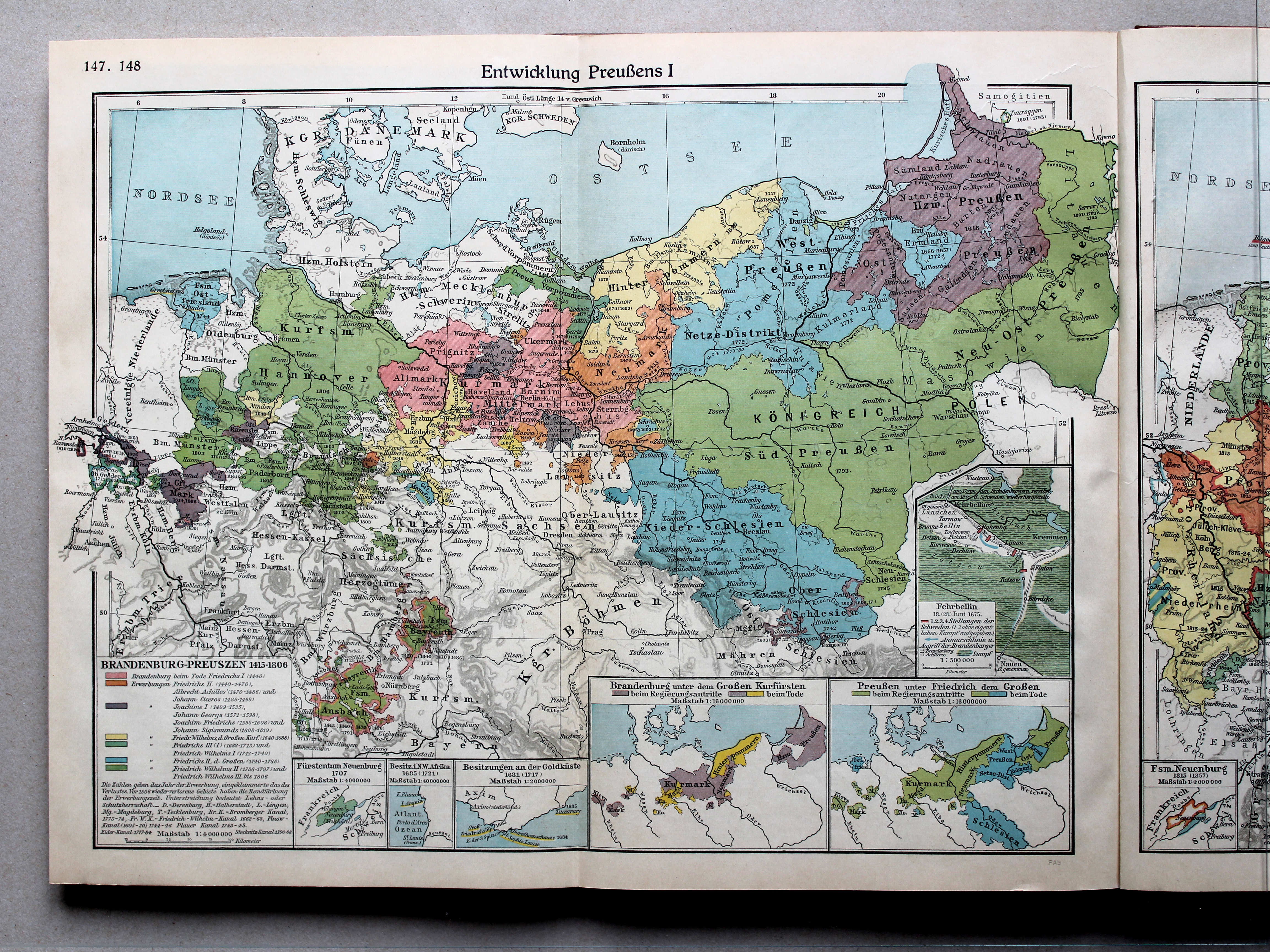
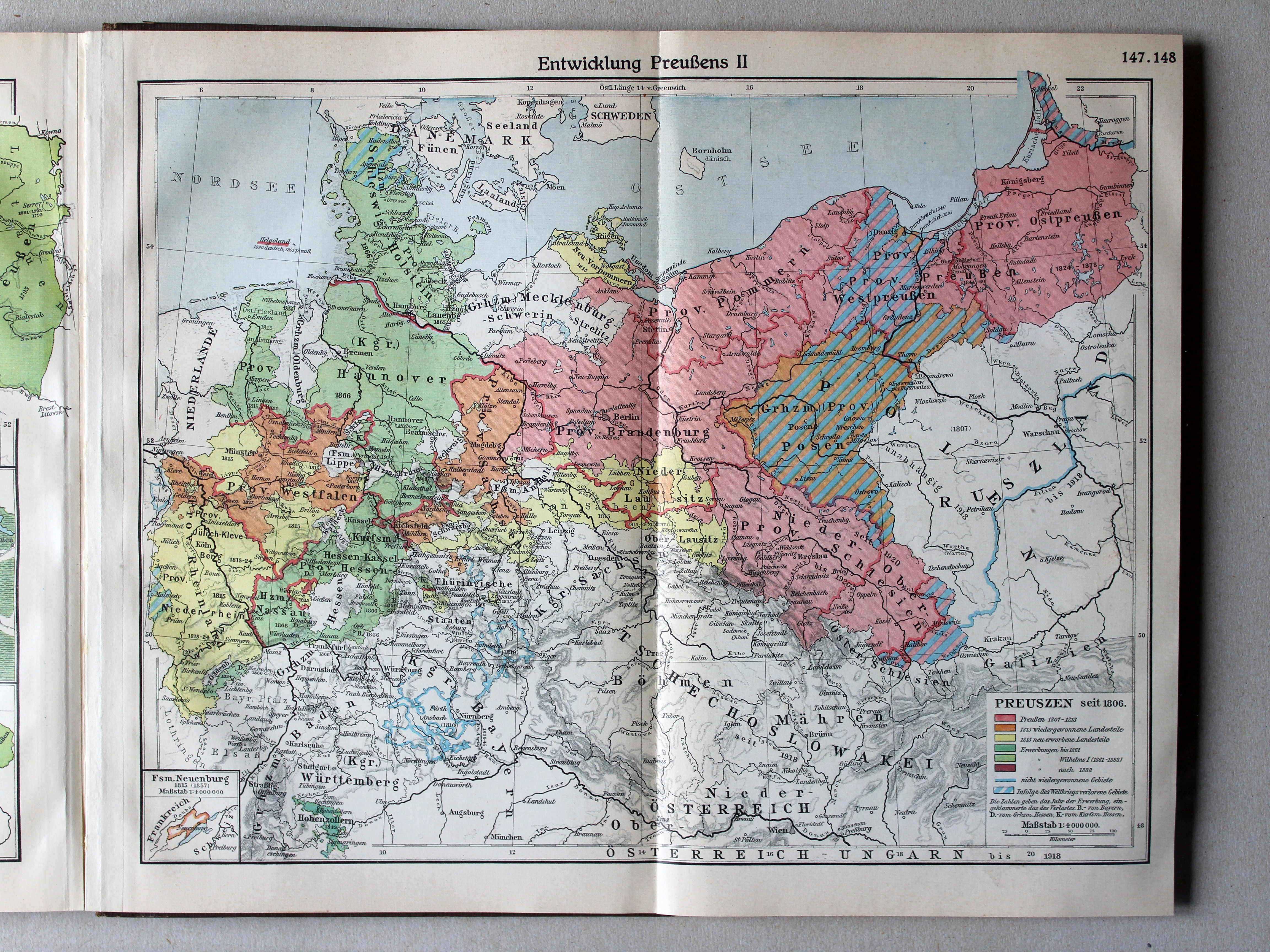
147.148. Entwicklung Preußens I XL
Ontwikkeling van Pruisen I / Development of Prussia I
 Putzgers Historischer Schul-Atlas, Große Ausgabe, 1931/33
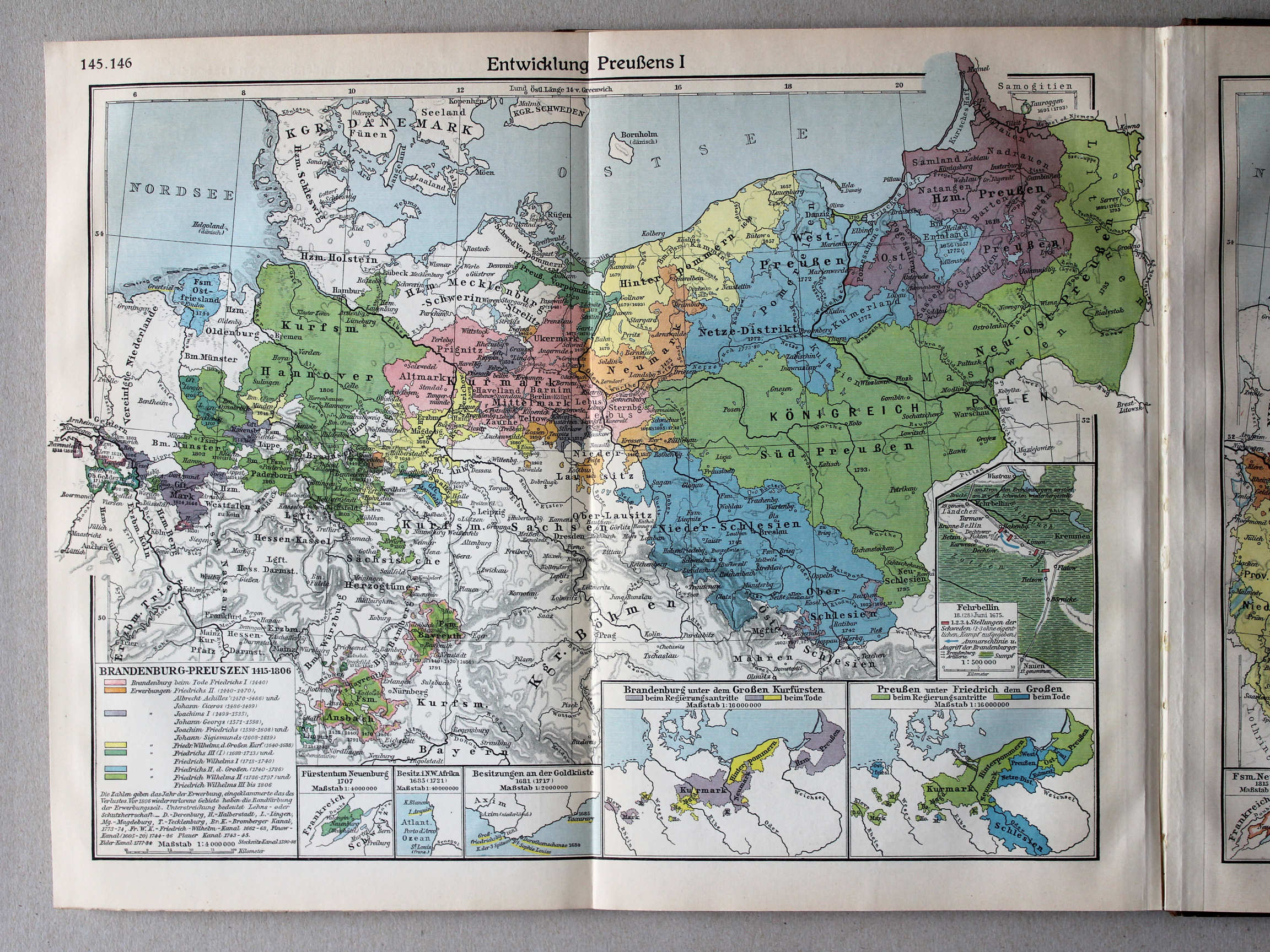
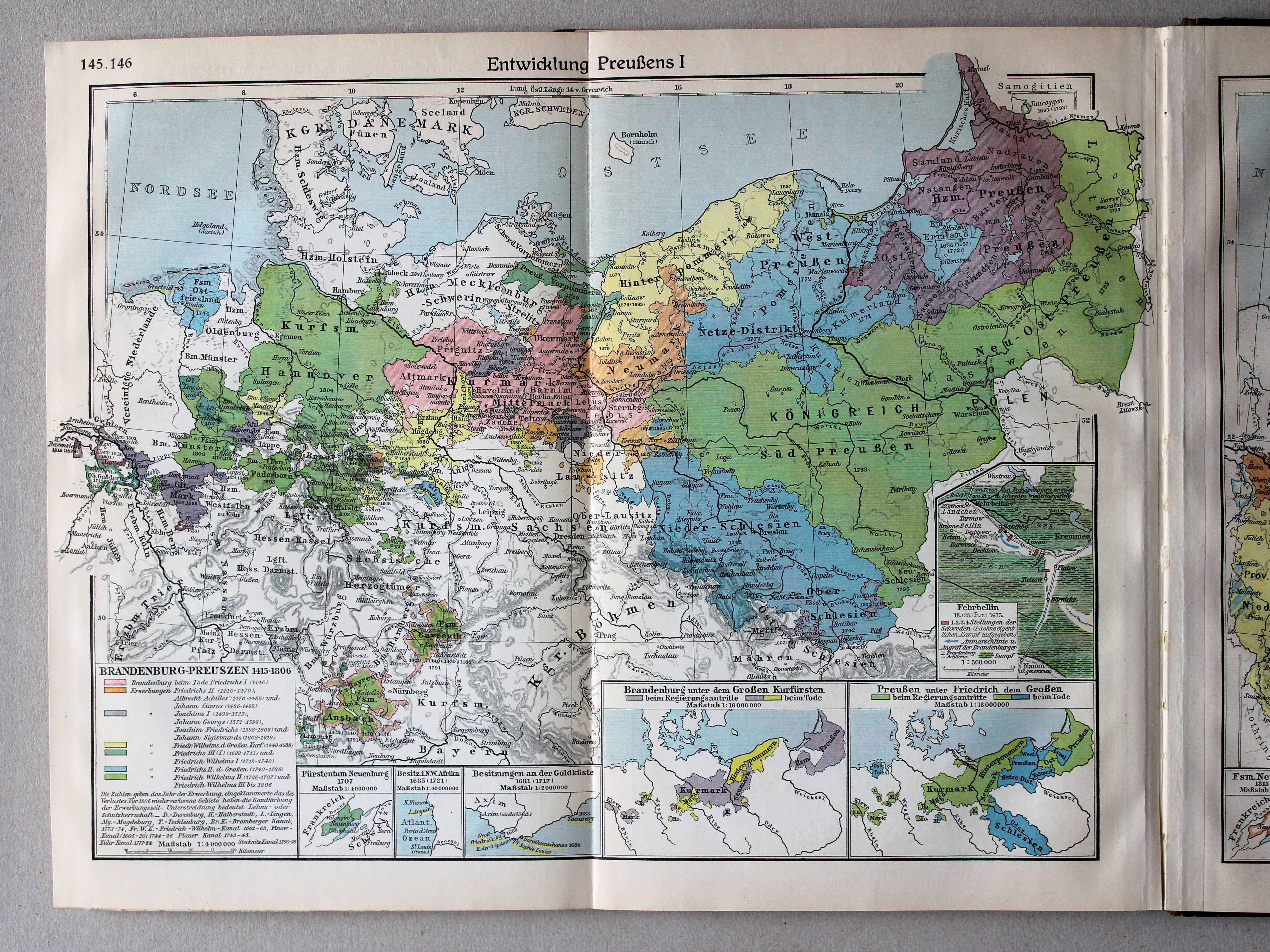
145.146. Entwicklung Preußens I XL
Ontwikkeling van Pruisen I / Development of Prussia I
 Putzgers Historischer Schul-Atlas, Große Ausgabe, 1934
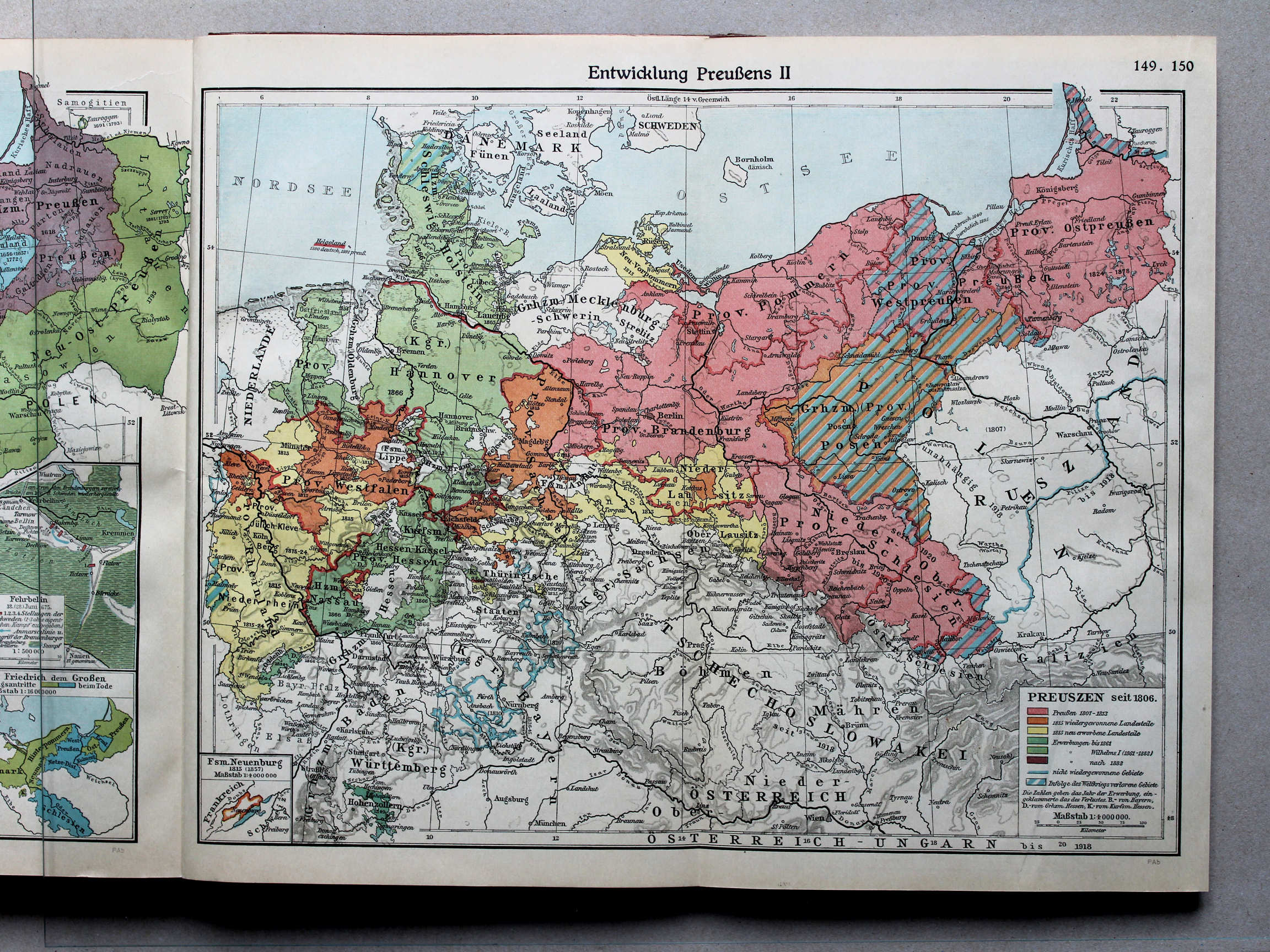
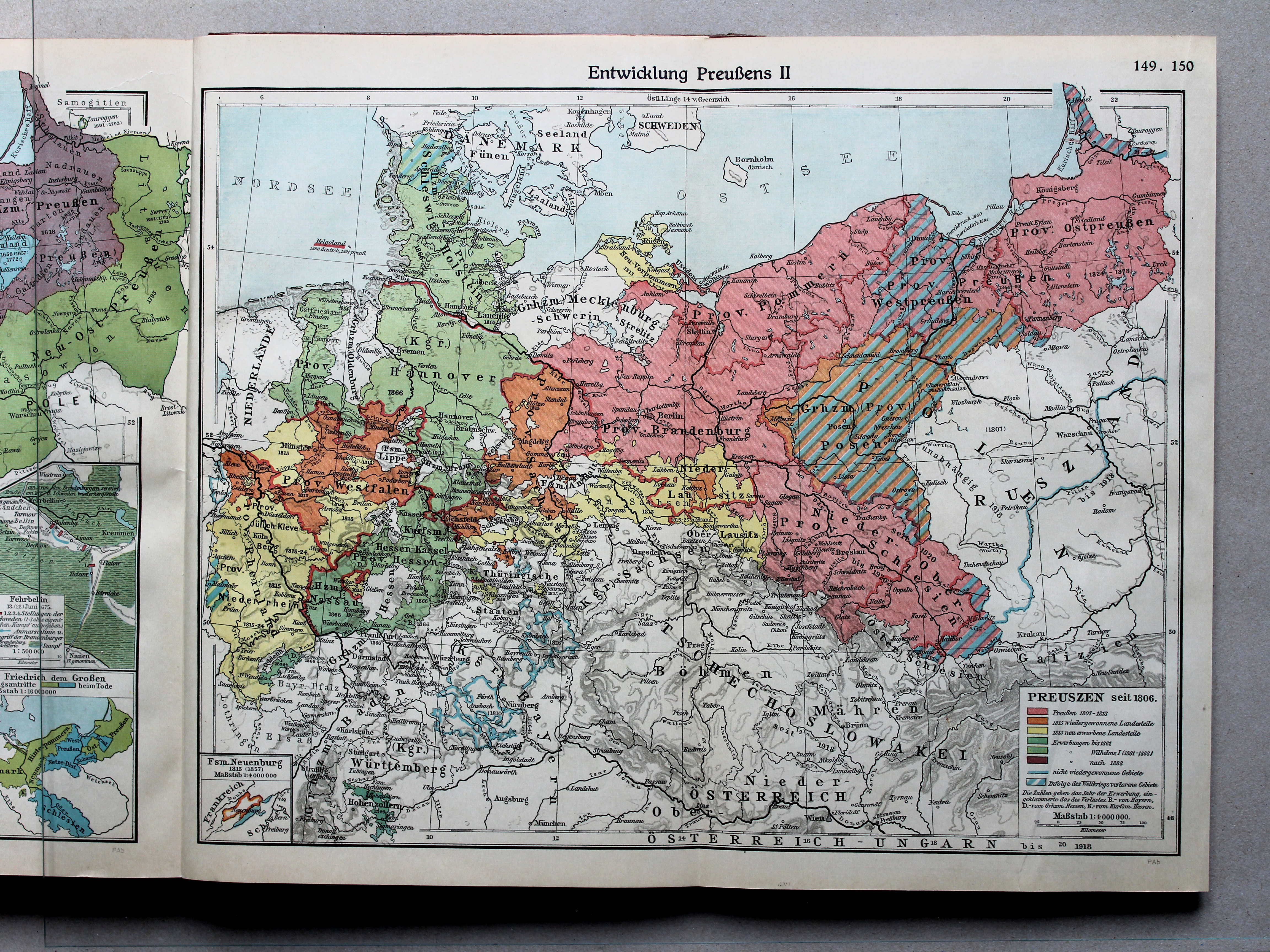
149.150. Entwicklung Preußens II XL
Ontwikkeling van Pruisen II / Development of Prussia II
 Putzgers Historischer Schul-Atlas, Große Ausgabe, 1931/33
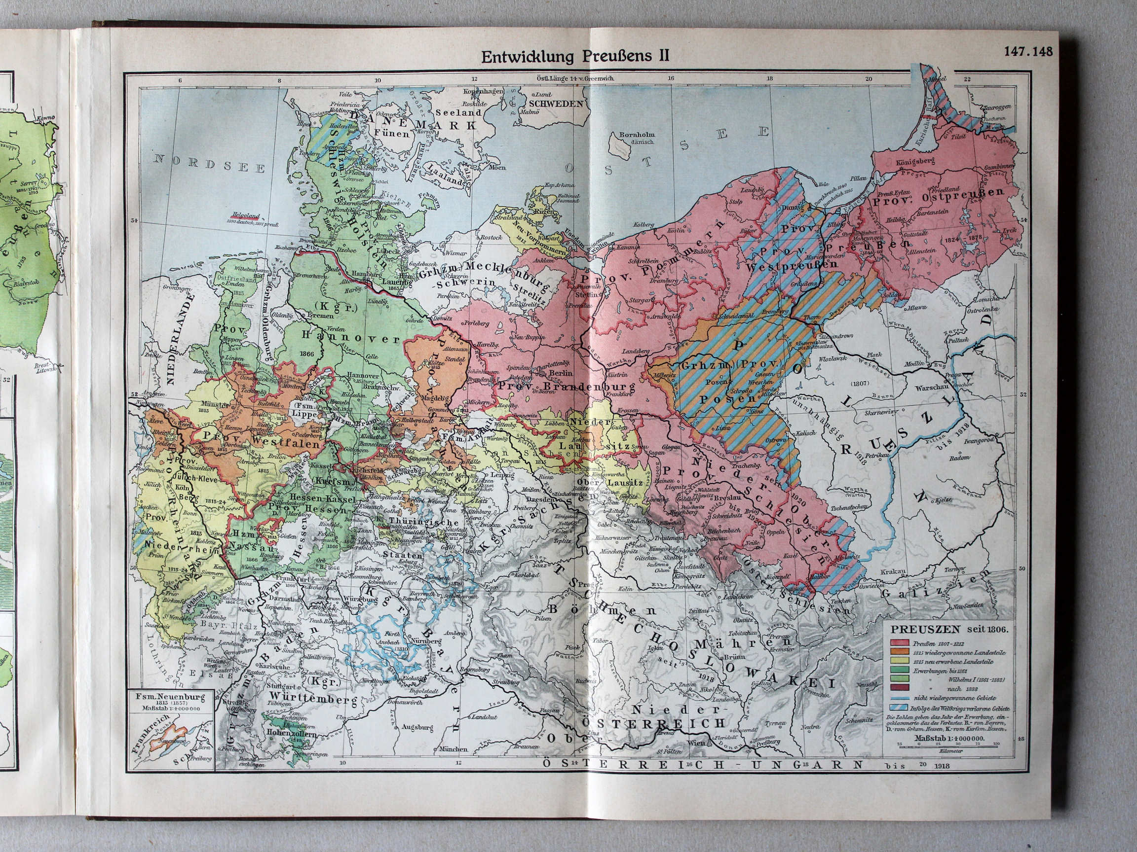
147.148. Entwicklung Preußens II XL
Ontwikkeling van Pruisen II / Development of Prussia II
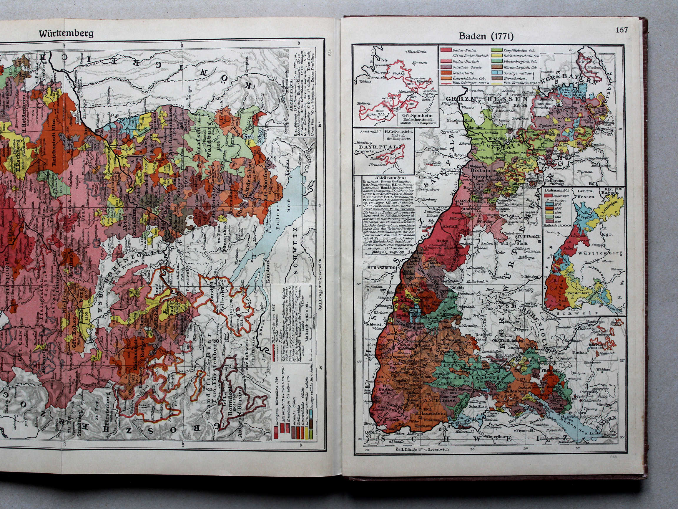
 Putzgers Historischer Schul-Atlas, Große Ausgabe, 1931/33
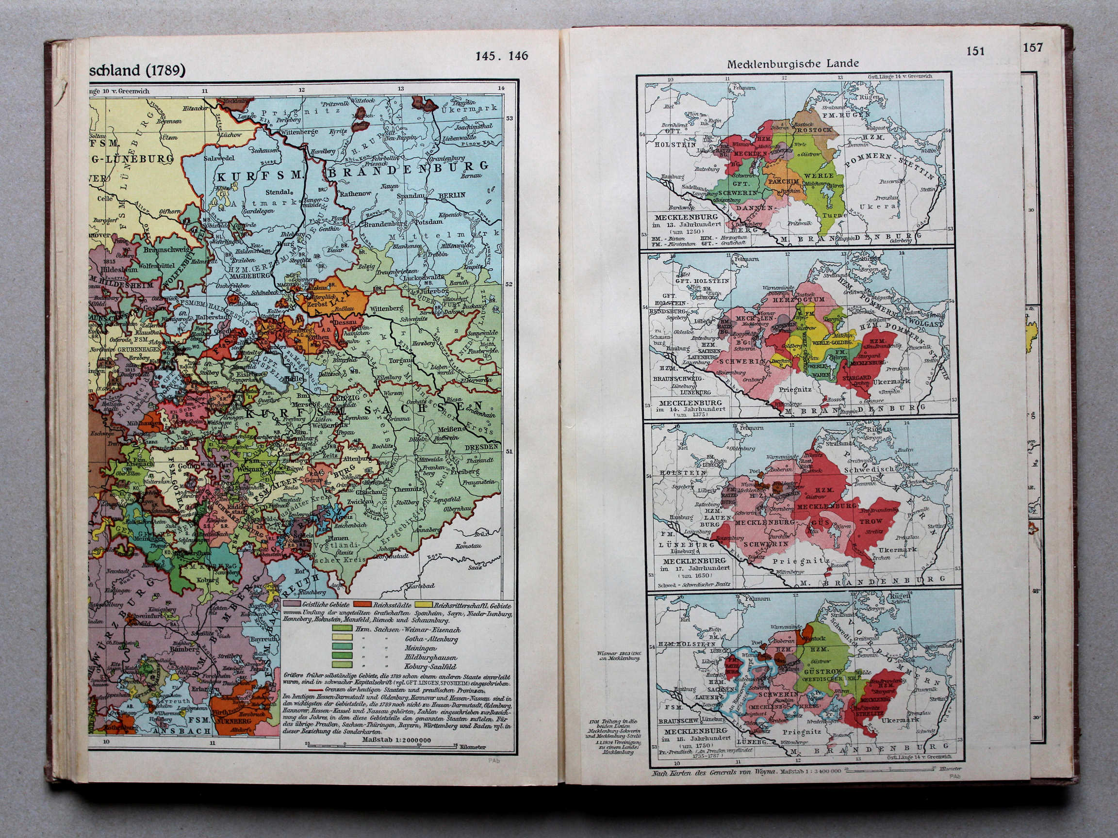
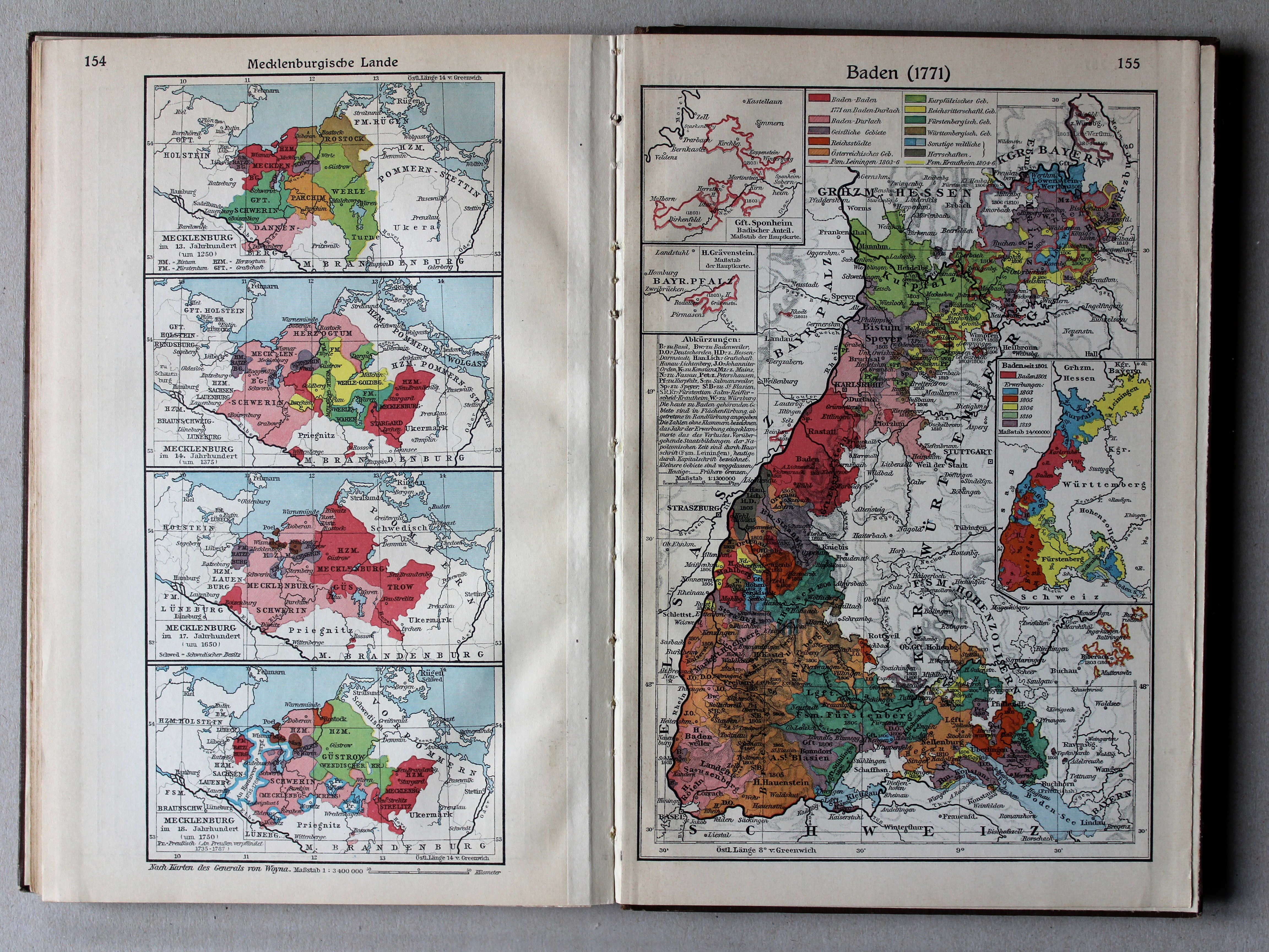
154. Mecklenburgische Lande XL
Mecklenburg
155. Baden (1771) XL
Baden (1771)
 Putzgers Historischer Schul-Atlas, Große Ausgabe, 1934
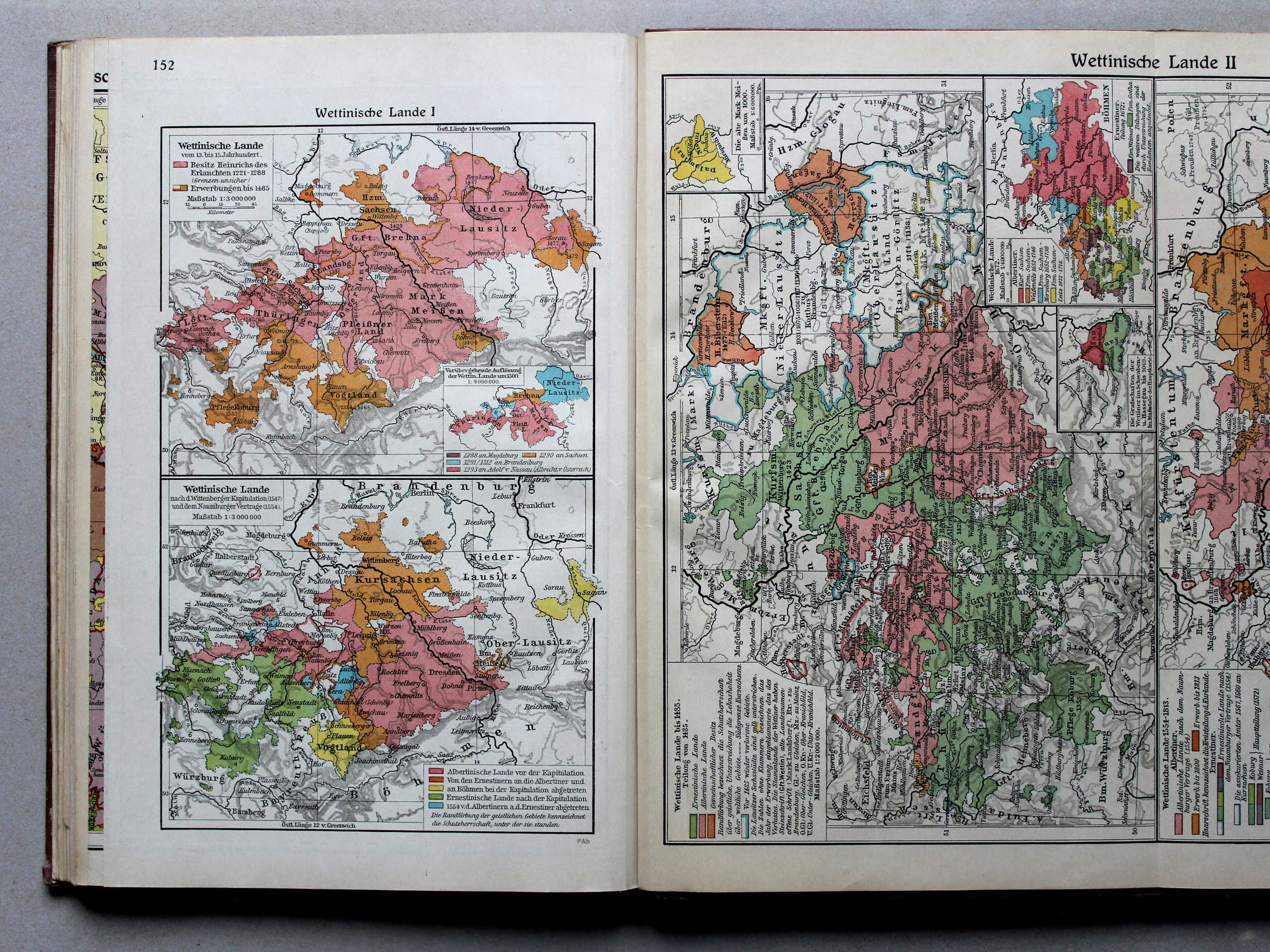
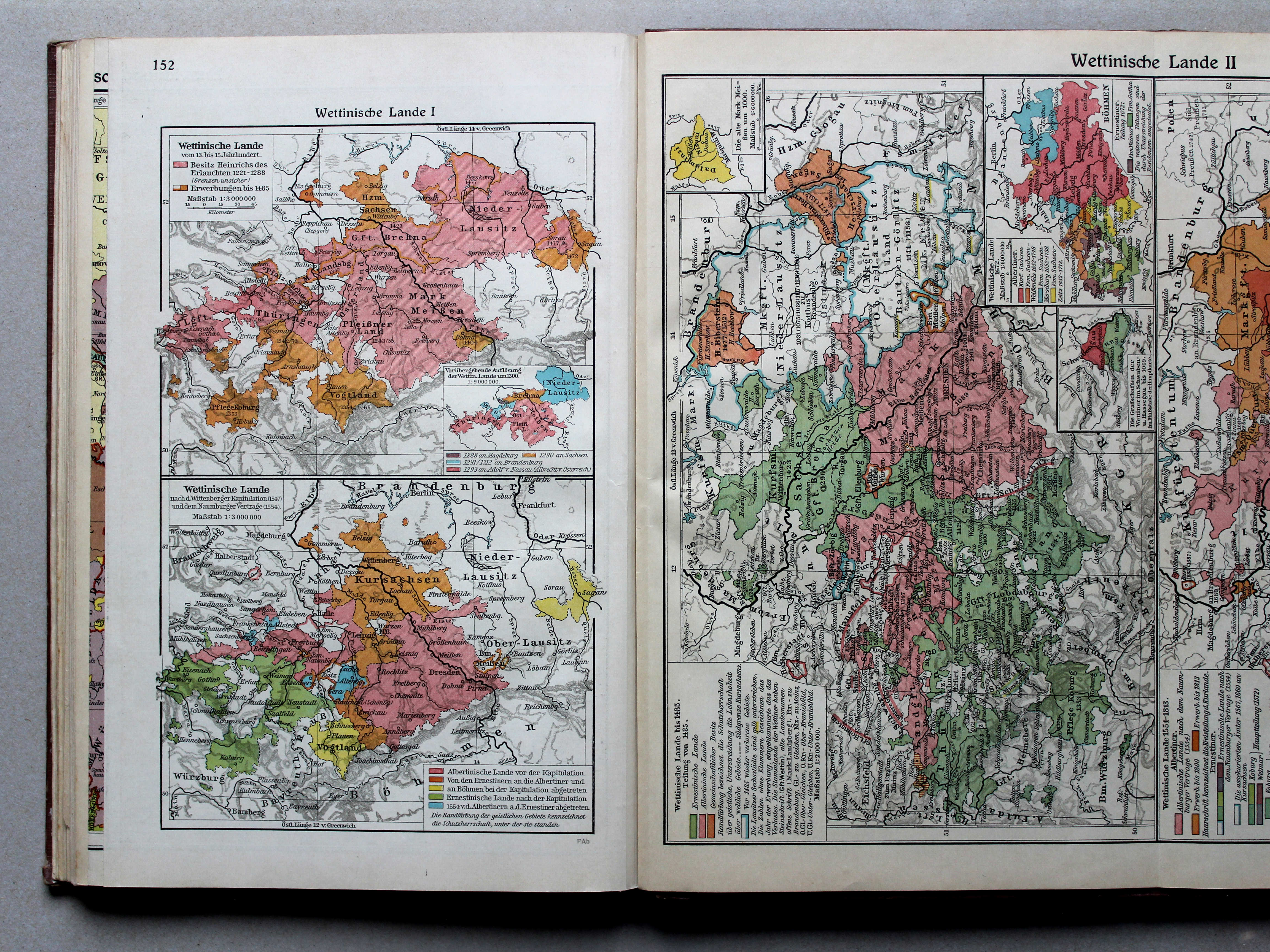
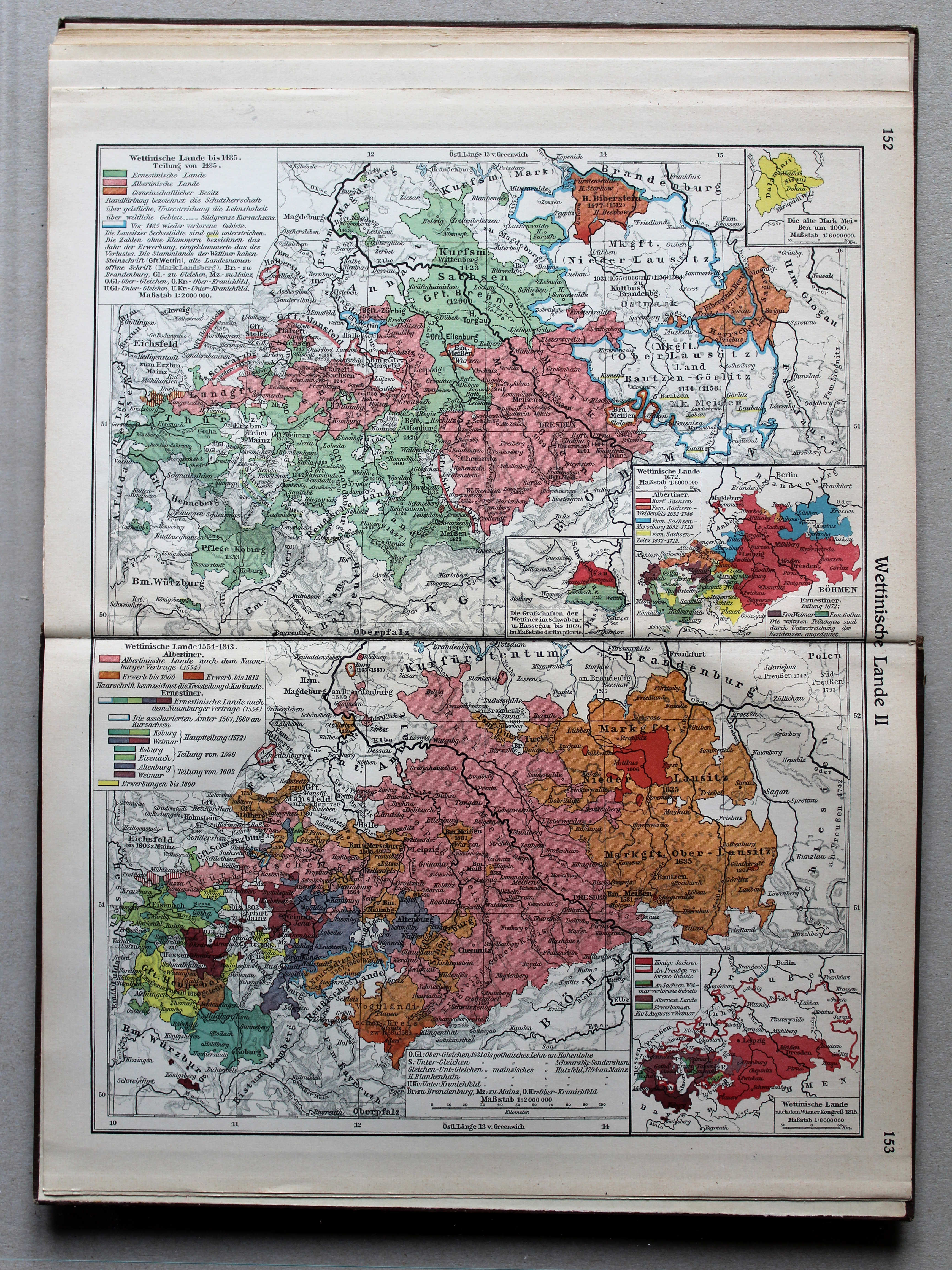
152. Wettinische Lande I XL
Het gebied van het Huis Wettin I / The lands of the House of Wettin I
 Putzgers Historischer Schul-Atlas, Große Ausgabe, 1931/33
151. Wettinische Lande I XL
Het gebied van het Huis Wettin I / The lands of the House of Wettin I
 Putzgers Historischer Schul-Atlas, Große Ausgabe, 1934
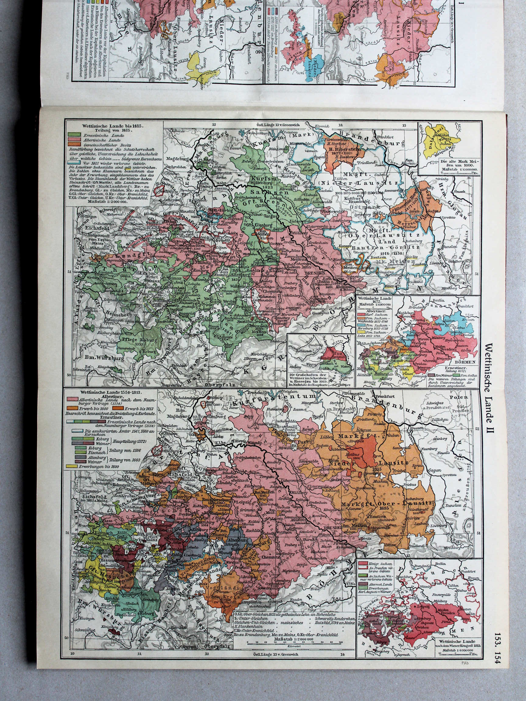
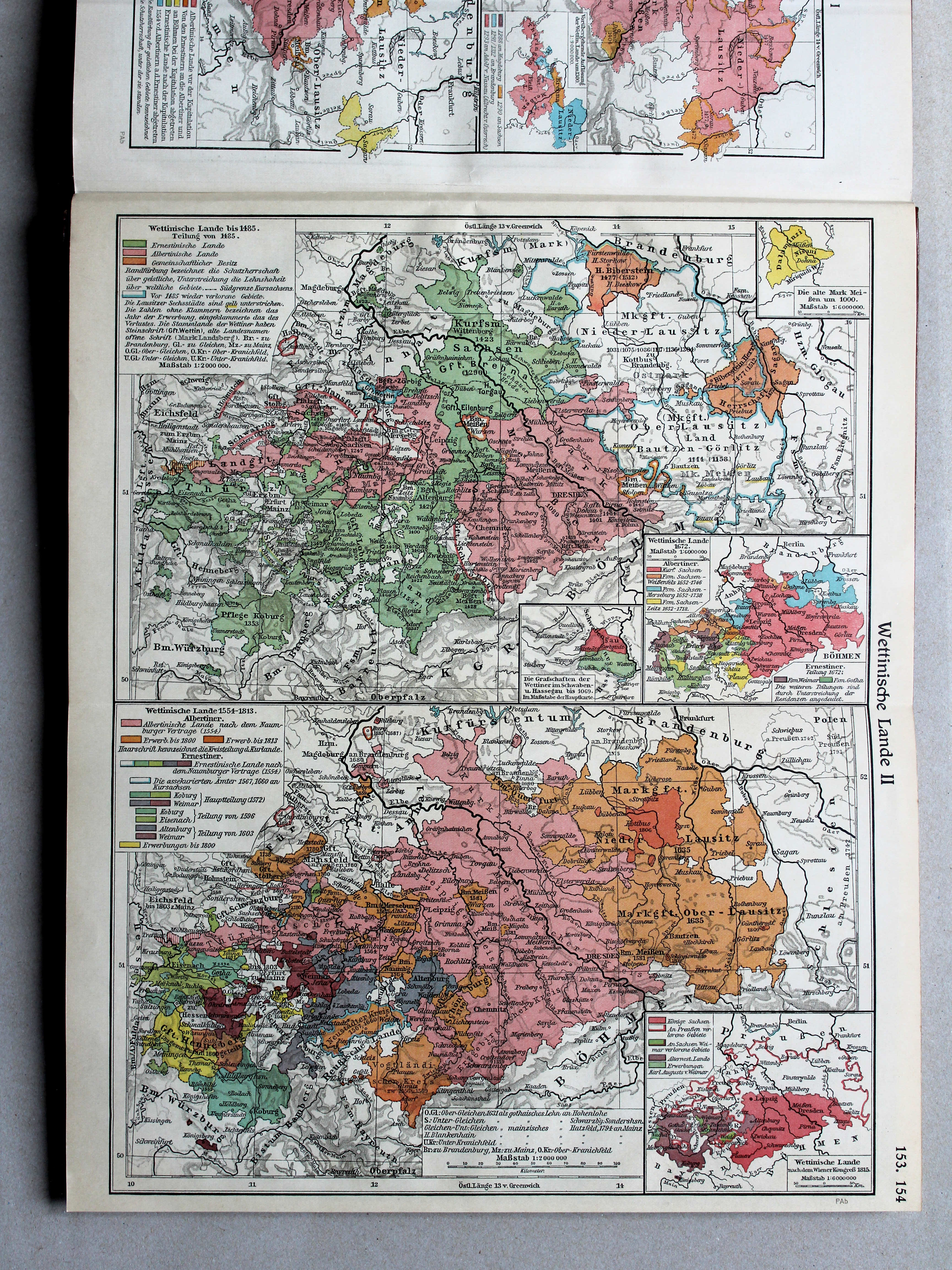
153.154. Wettinische Lande II XL
Het gebied van het Huis Wettin II / The lands of the House of Wettin II
 Putzgers Historischer Schul-Atlas, Große Ausgabe, 1931/33
152.153. Wettinische Lande II XL
Het gebied van het Huis Wettin II / The lands of the House of Wettin II
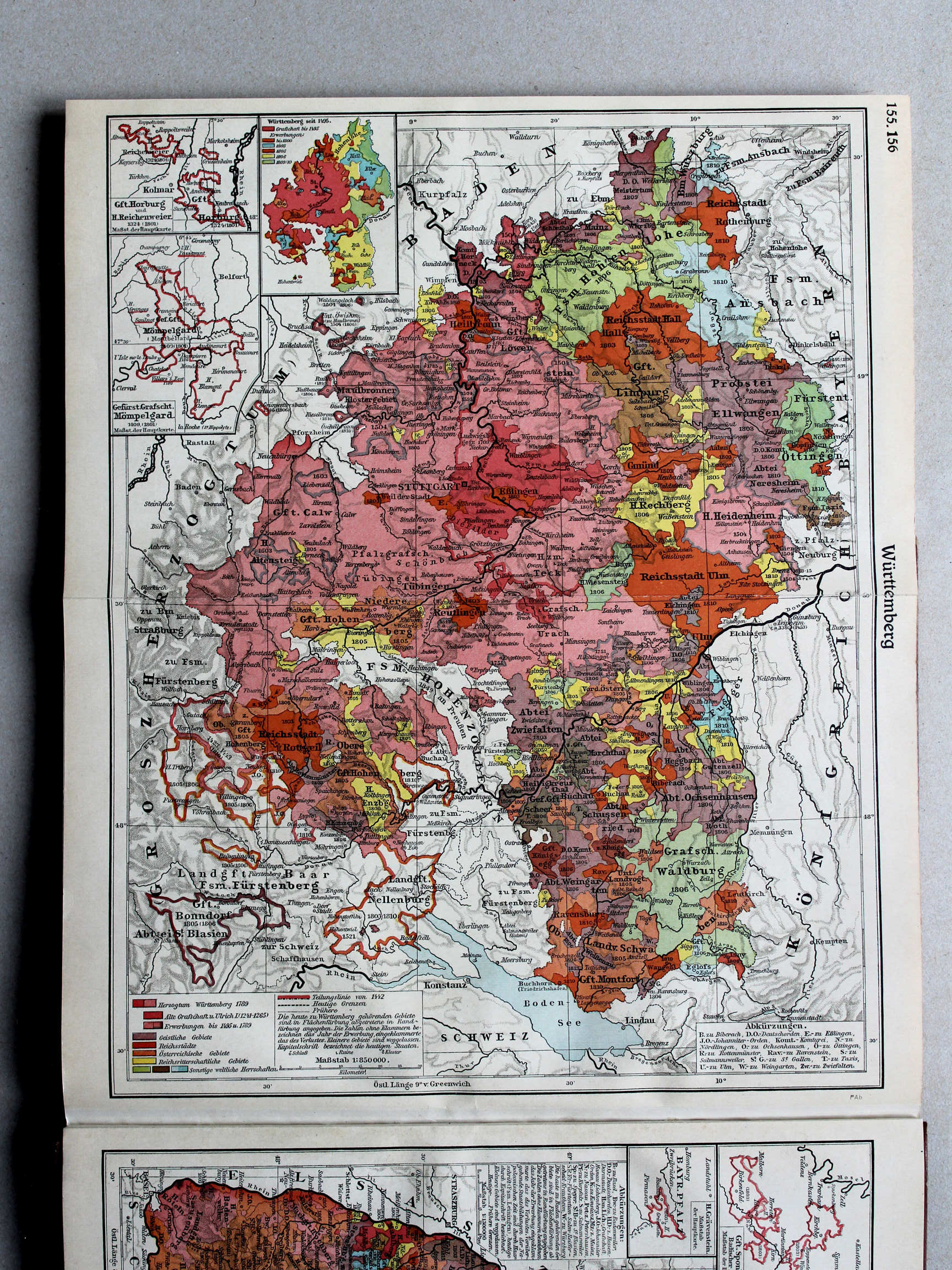

 Putzgers Historischer Schul-Atlas, Große Ausgabe, 1931/33
154. Mecklenburgische Lande XL
Mecklenburg
155. Baden (1771) XL
Baden (1771)
 Putzgers Historischer Schul-Atlas, Große Ausgabe, 1934
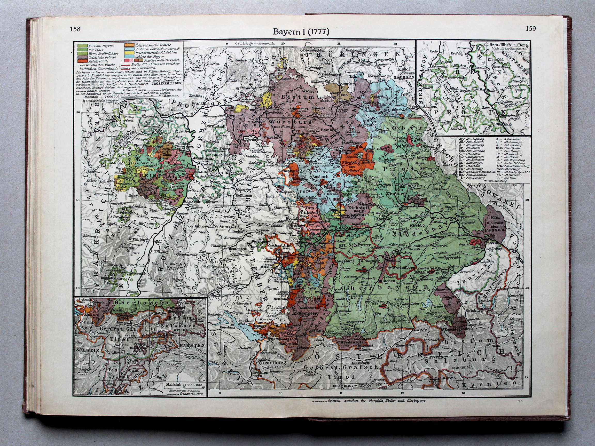
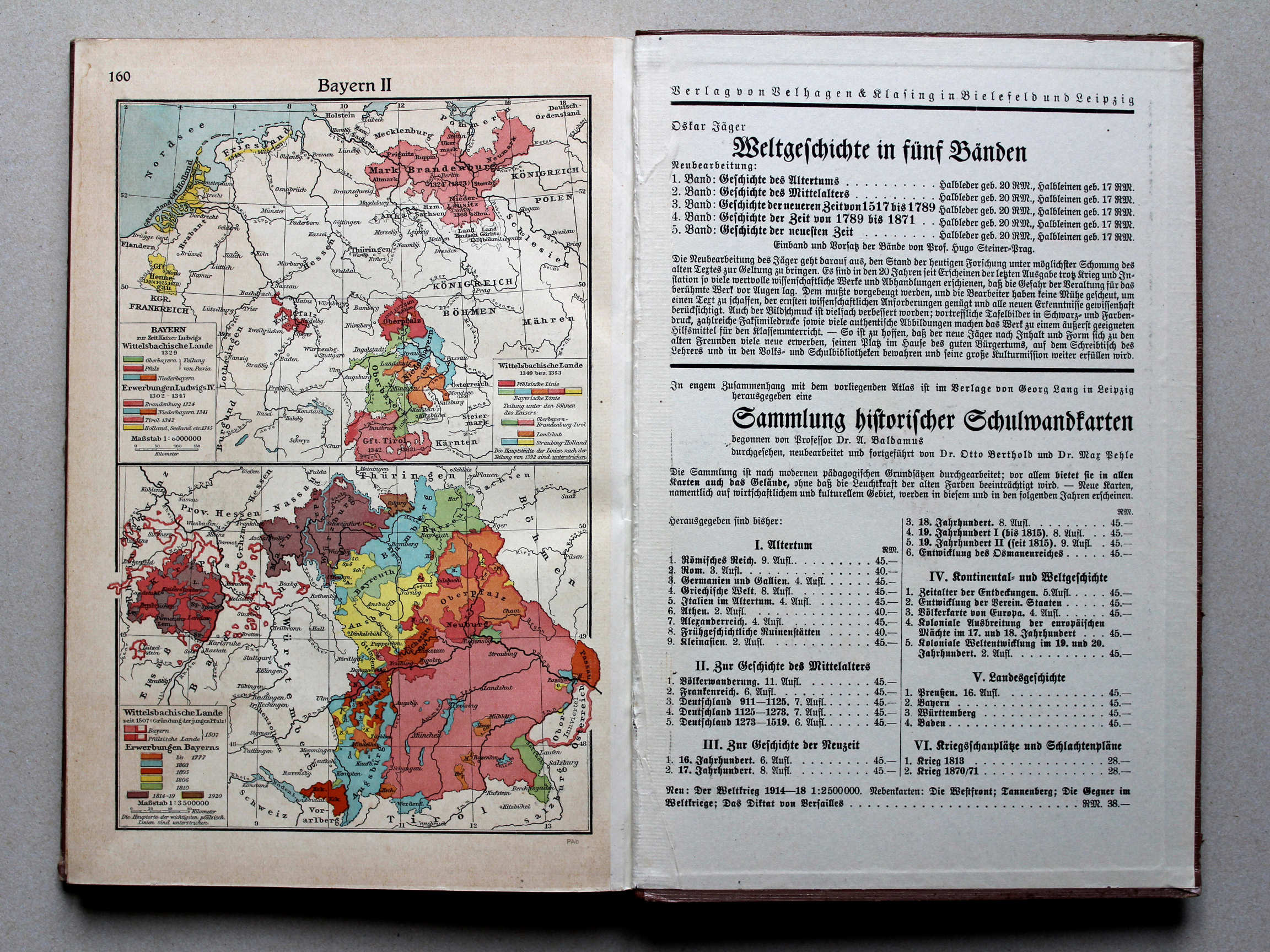
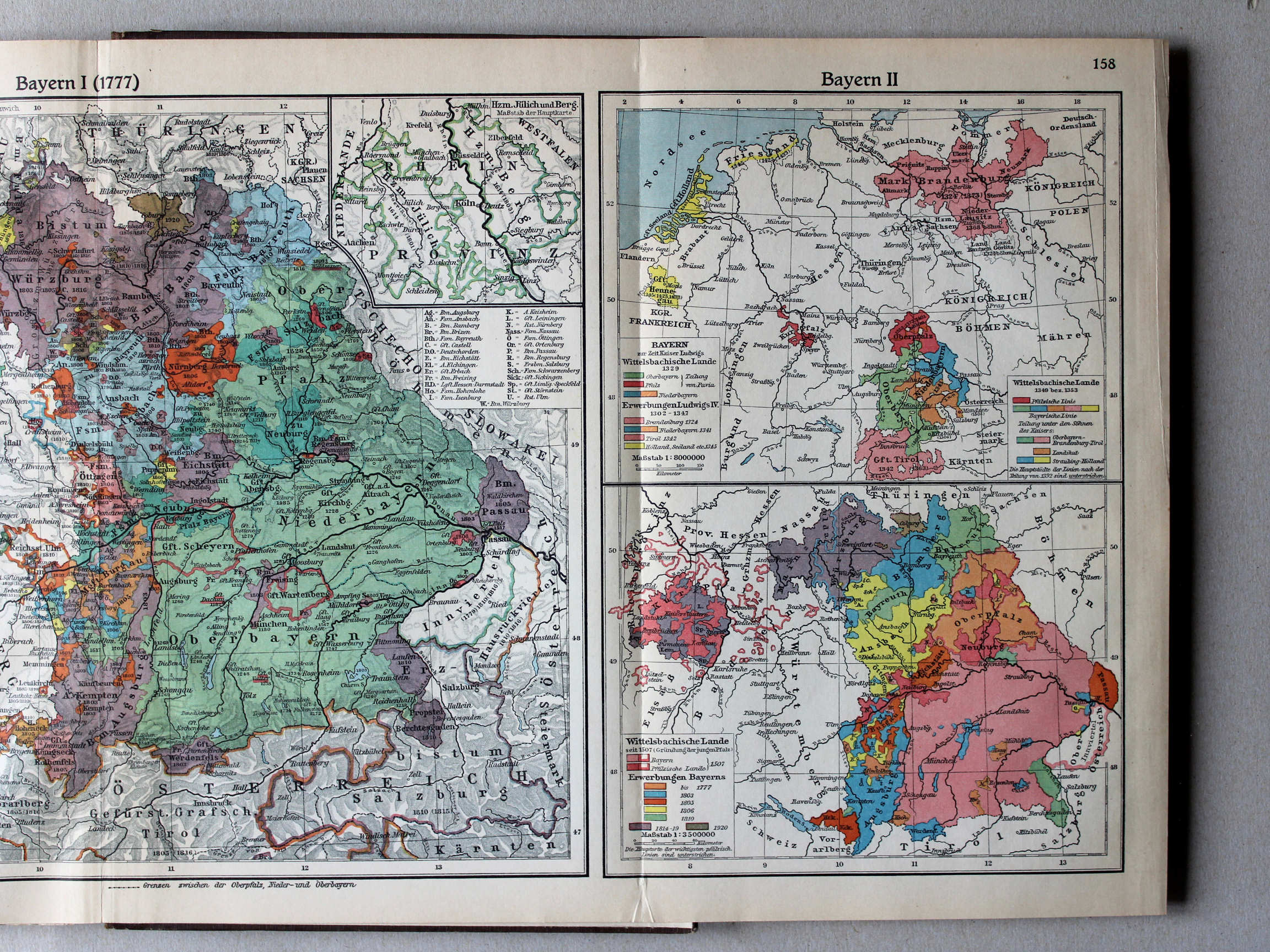
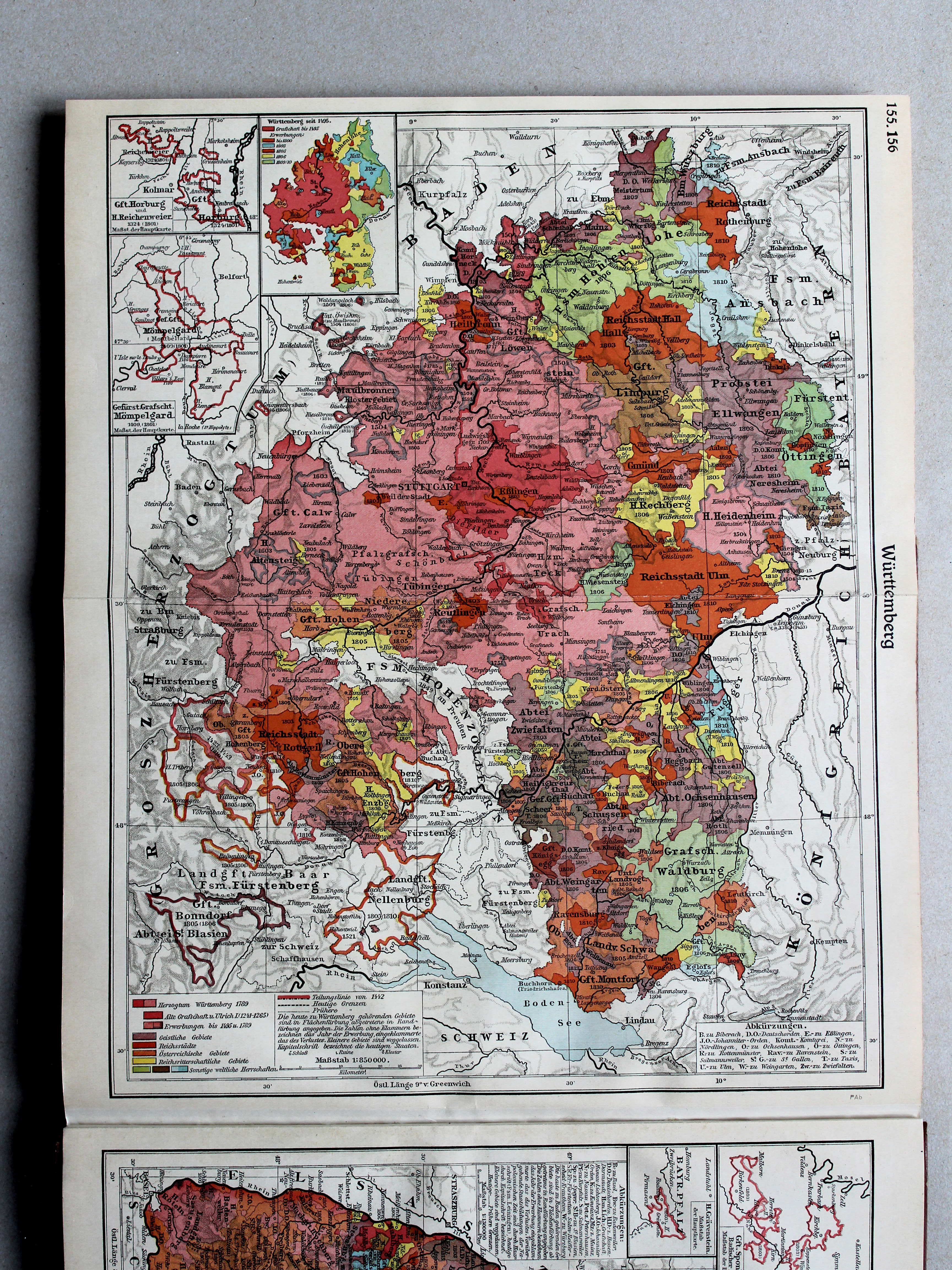
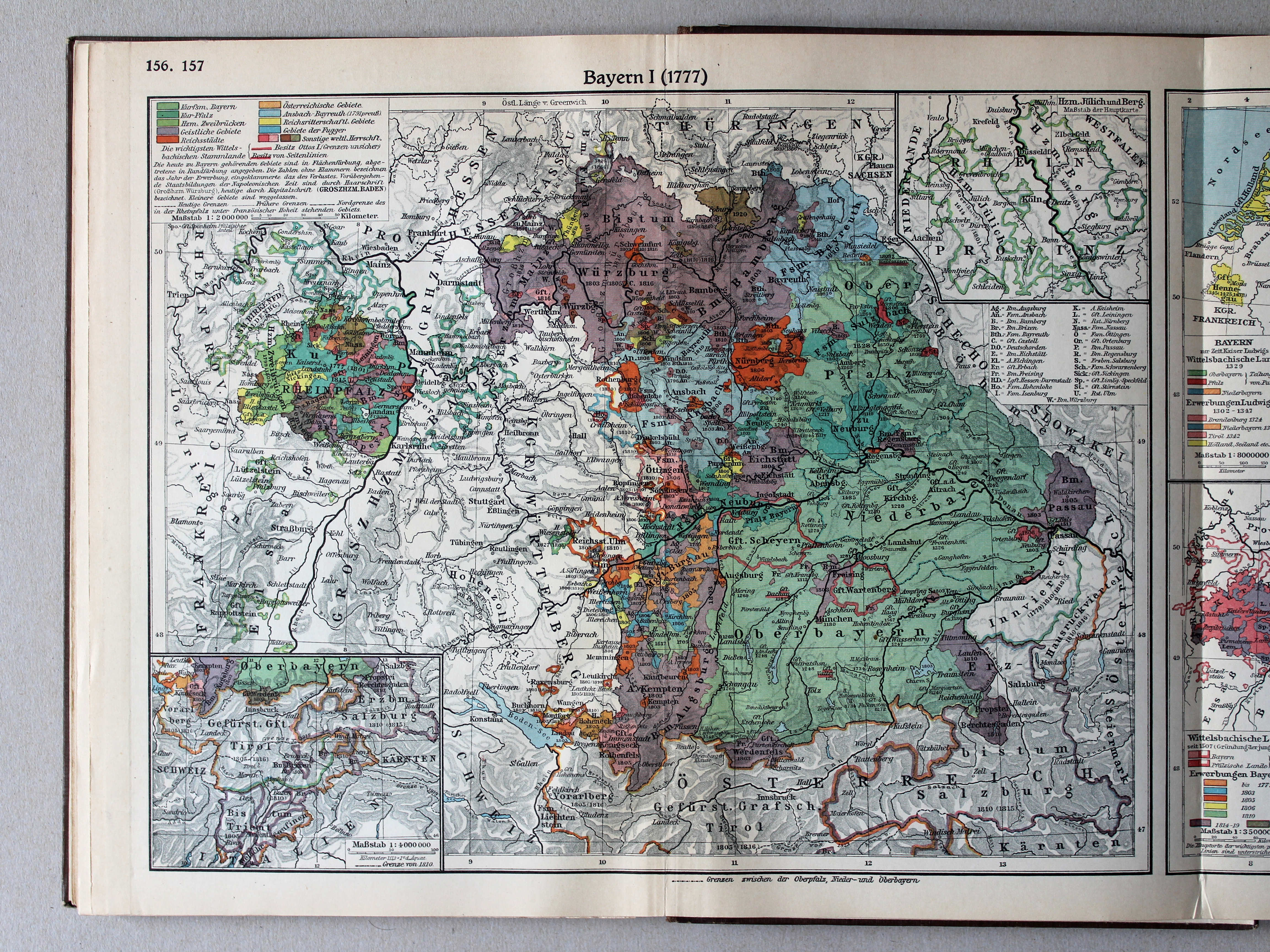
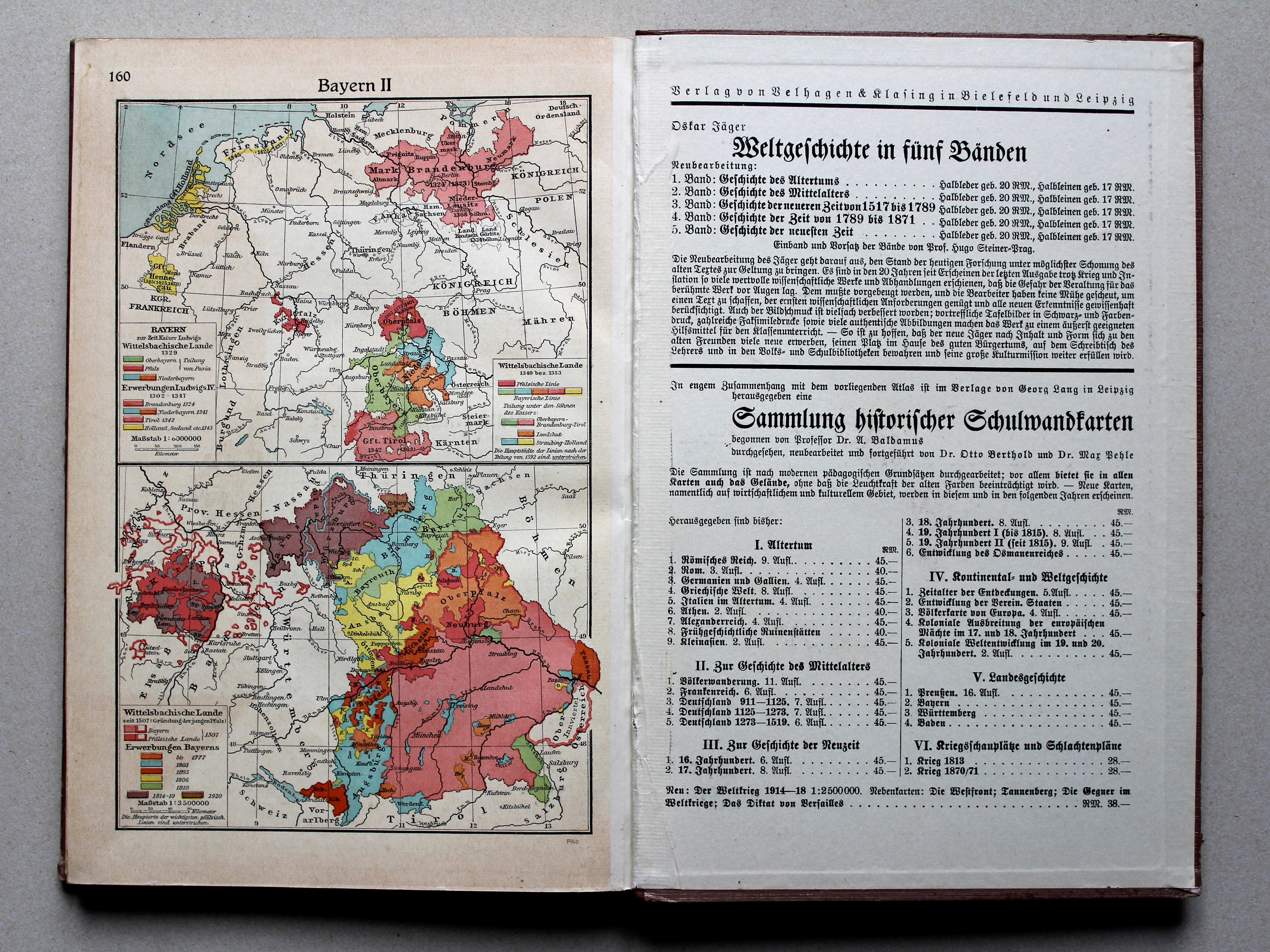
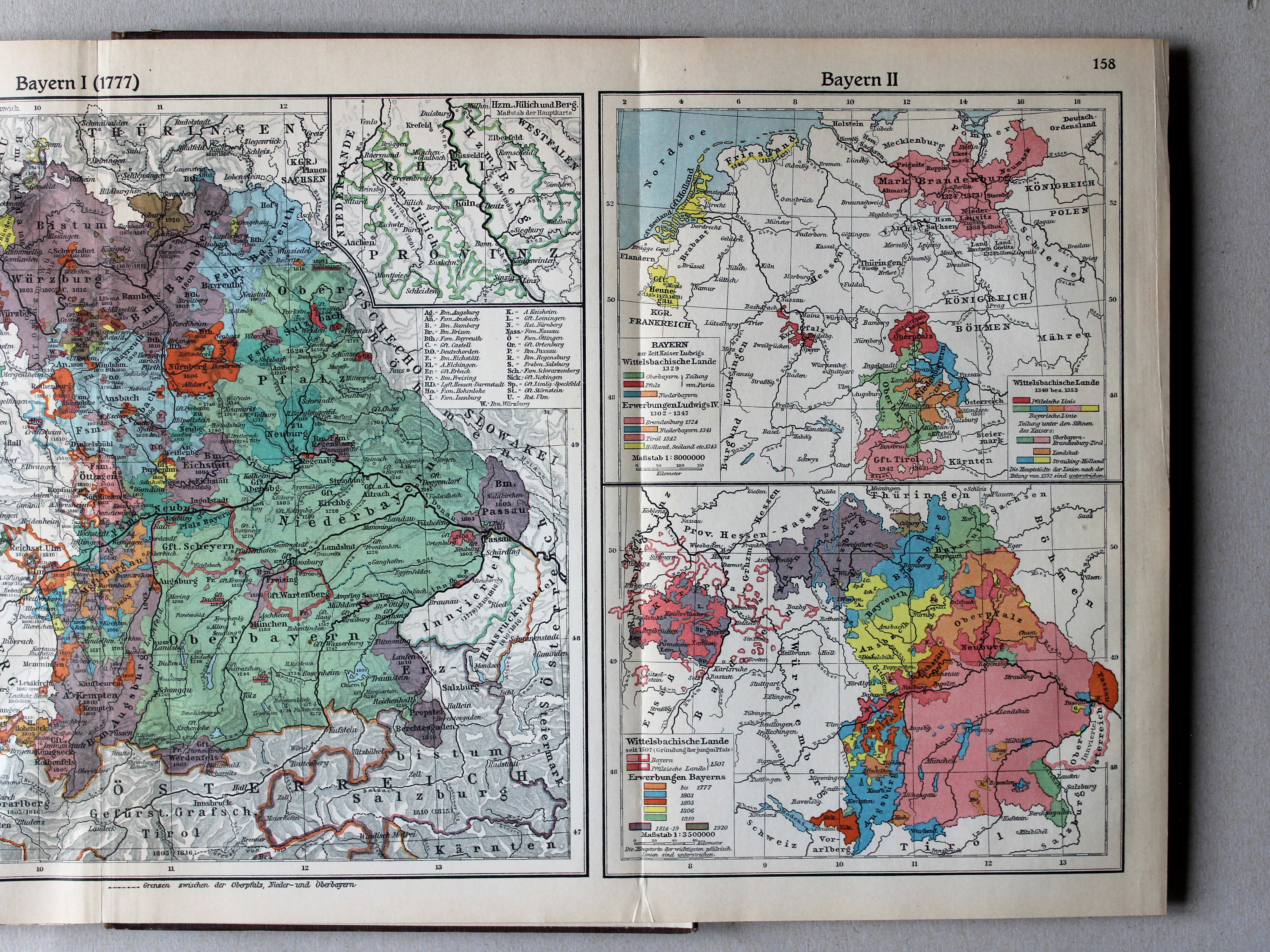
158.159. Bayern I (1777) XL
Beieren I (1777) / Bavaria I (1777)
 Putzgers Historischer Schul-Atlas, Große Ausgabe, 1931/33
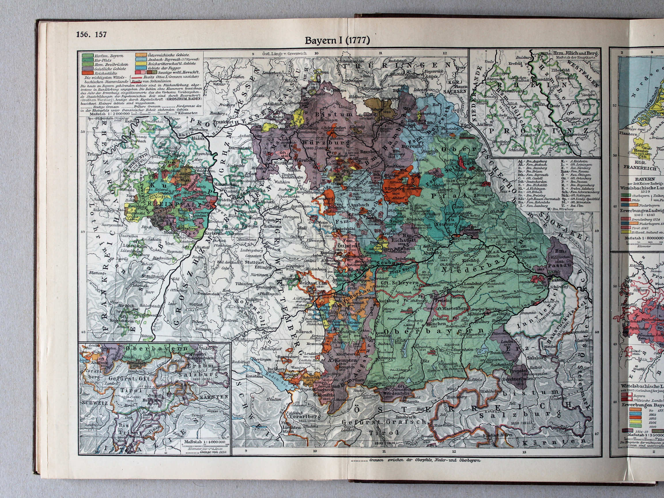
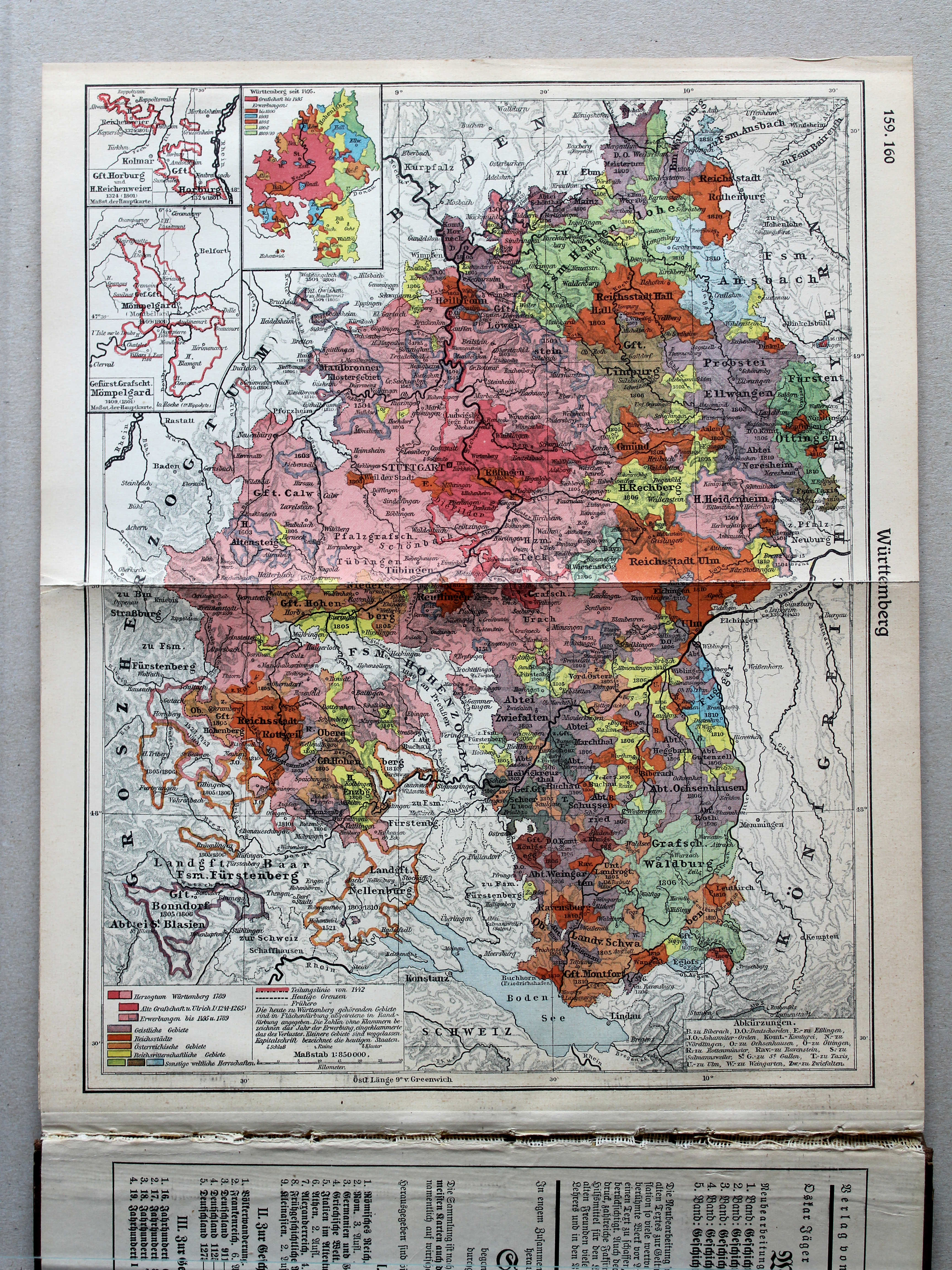
156.157. Bayern I (1777) XL
Beieren I (1777) / Bavaria I (1777)
© M. Witkam, 2013
![]()
![]()