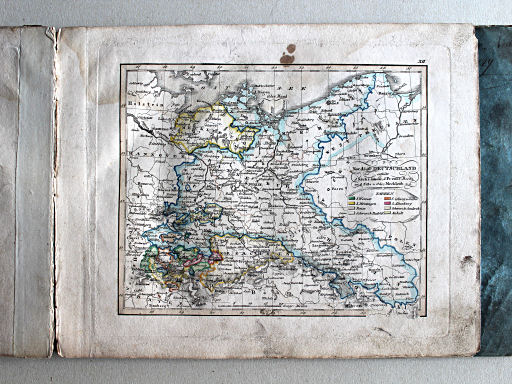
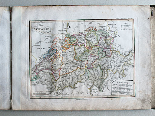
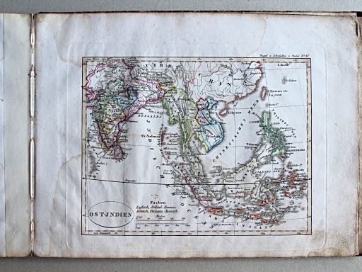
Stielers Schul-Atlas, 5e druk (1825)
See below for (a summary of) this text in English.
Hieronder staan plaatjes van de 5e druk van de atlas. Daarbij horen ook de volgende pagina's
- Beschrijving van de atlas
- Plaatjes van de atlas
- Tabellen en lijsten bij de atlas
en ook
Plaatjes
Klik op een plaatje voor een vergroting.
Stielers Schul-Atlas, 5th edition (1825)
- Below are pictures of the 5th edition of the atlas. Related pages
- Description of the atlas
- Pictures of the atlas
- Tables and lists to the atlas
Pictures
Click on a picture to enlarge.
Band / Binding Kaarten / Maps Wereldkaarten / World maps
 Stielers Schul-Atlas, 1825
I. Östliche Halbkugel
Oostelijk halfrond (ontbreekt) / Eastern hemisphere (missing)
 Stielers Schul-Atlas, 1825
II. Westliche Halbkugel
Westelijk halfrond (ontbreekt) / Western hemisphere (missing)
 Stielers Schul-Atlas, 1825
III. Europa
Europa (ontbreekt) / Europe (missing)
 Stielers Schul-Atlas, 1825
VI. Italien auch Jllyrien, Croatien, Dalmat.
Italië, Illyrië, Kroatië, Dalmatië (ontbreekt) / Italy, Illyria, Croatia, Dalmatia (missing)
 Stielers Schul-Atlas, 1825
VII. Die Brittischen Jnseln
Britse Eilanden (ontbreekt) / British Isles (missing)
 Stielers Schul-Atlas, 1825
VIII. Schweden, Norwegen und Daenemark XL
Zweden, Noorwegen en Denemarken / Sweden, Norway and Denmark
 Stielers Schul-Atlas, 1825
IX. Daenemark mit Holstein u. Lauenburg XL
Denemarken met Holstein en Lauenburg / Denmark with Holstein and Lauenburg
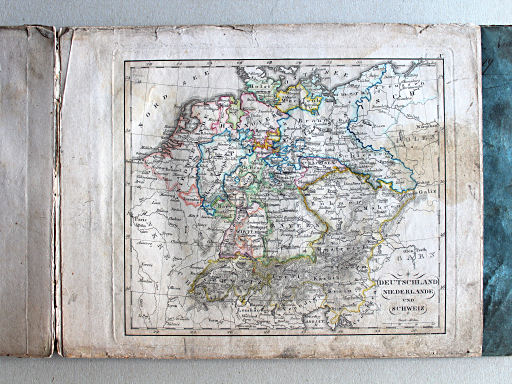 Stielers Schul-Atlas, 1825
X. Deutschland, Niederlande und Schweiz XL
Duitsland, Nederland en Zwitserland / Germany, Netherlands and Switzerland
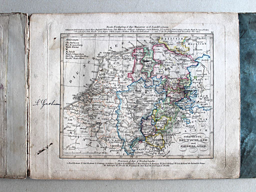 Stielers Schul-Atlas, 1825
XI. Nordwestl. Deutschland und Niederlande XL
Noordwest-Duitsland en Nederland / Northwestern Germany and the Netherlands
 Stielers Schul-Atlas, 1825
XIII. Südwestl. Deutschland und Schweiz XL
Zuidwest-Duitsland en Zwitserland / Southwestern Germany and Switzerland
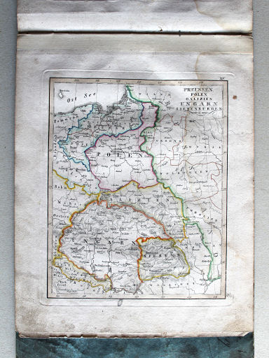 Stielers Schul-Atlas, 1825
XV. Preussen, Polen, Galizien, Ungarn, Siebenbürgen XL
Pruisen, Polen, Galicië, Hongarije, Zevenburgen / Prussia, Poland, Galicia, Hungary, Transylvania
 Stielers Schul-Atlas, 1825
Suppl.I. Australien und die beiden Oceane um America XL
Australië en de oceanen rondom Amerika / Australia and the oceans around America
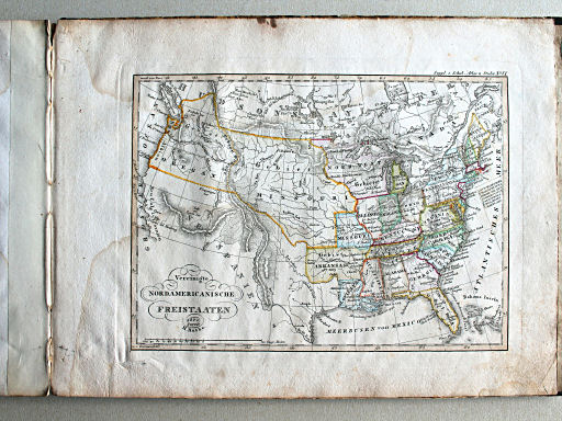 Stielers Schul-Atlas, 1825
Suppl.VI. Vereinigte Nordamericanische Freistaaten XL
Verenigde Staten van Noord-Amerika / United States of North America
© M. Witkam, 2013


