Hand-Atlas der Erde und des Himmels, 42e druk, beknopte uitgave (1860-1867)
See below for (a summary of) this text in English.
Hieronder staat de beschrijving van de atlas. Daarbij horen ook de volgende pagina's
Titelgegevens
Titel: Hand-Atlas der Erde und des Himmels in 50 Blättern
Uitgever: Geographisches Institut, Weimar
Jaar: 1860-1867 (42e druk)
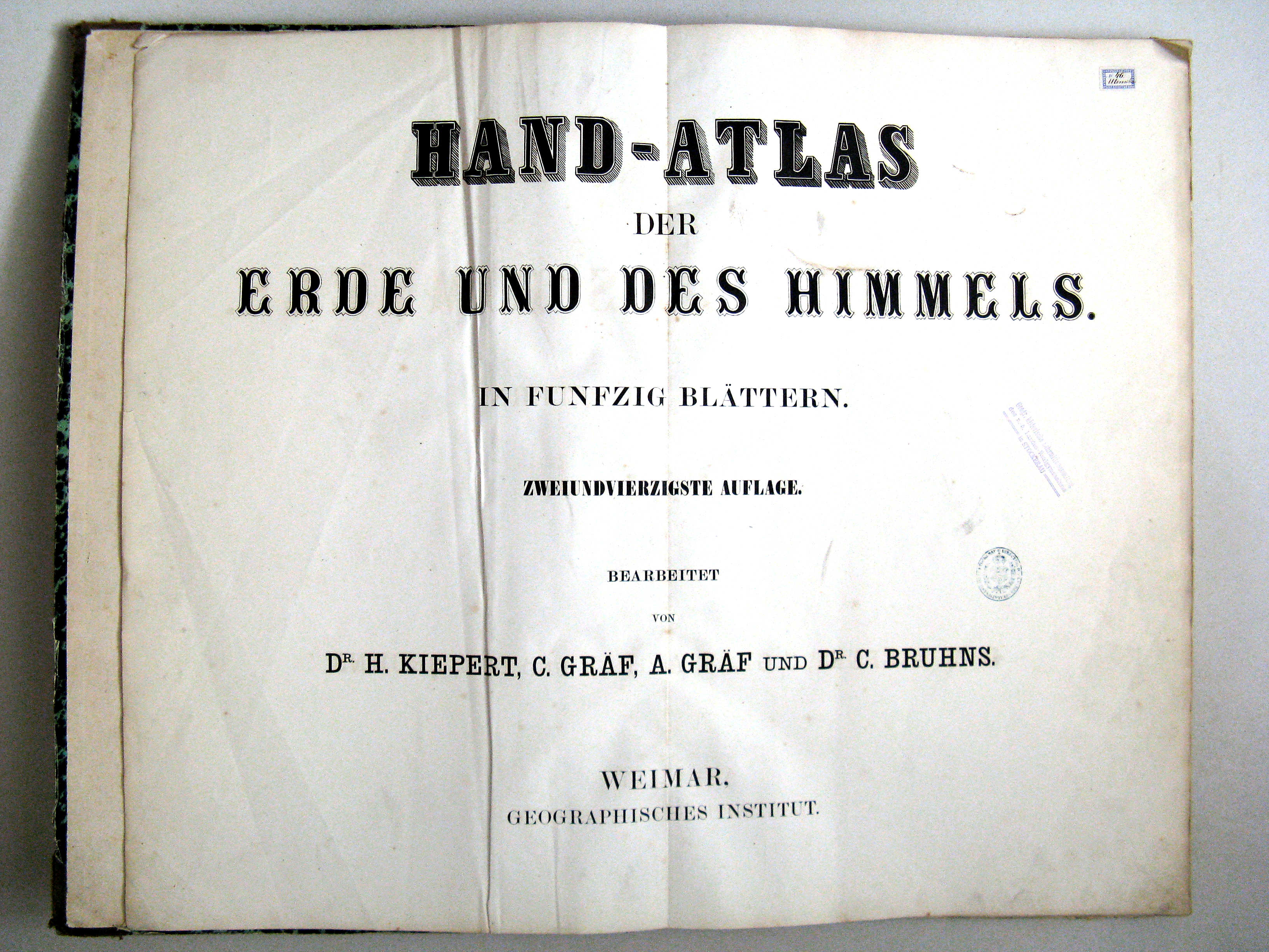
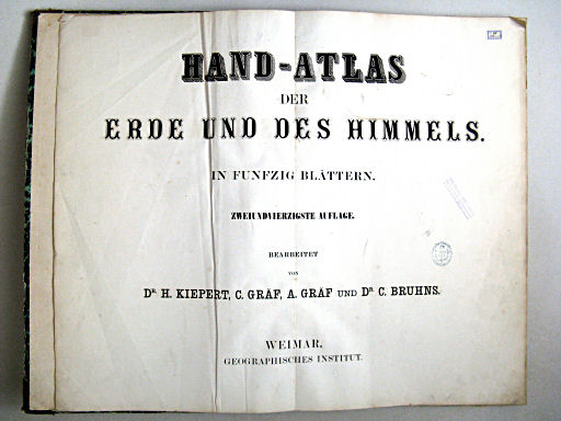
Titelpagina (uitgave 1863):
Hand-Atlas der Erde und des Himmels.
In funfzig Blättern.
Zweiundvierzigste Auflage.
Bearbeitet von Dr. H. Kiepert, C. Gräf, A. Gräf und Dr. C. Bruhns.
Weimar, Geographisches Institut.
Vertaling:
Handatlas van de Aarde en de Hemel.
In 50 kaartbladen.
42e druk
Bewerkt door Dr. H. Kiepert, C. Gräf, A. Gräf en Dr. C. Bruhns.
Geographisches Institut, Weimar
- Dit is de beknopte uitgave of 'Volksausgabe' van Hand-Atlas der Erde und des Himmels, 42e druk.
Band
 Hand-Atlas der Erde und des Himmels in 50 Blättern (1863)
Titelpagina
Bij mijn exemplaar zijn de kaarten gevouwen ingebonden in een privéband van 37,5 × 59 cm (B × H). De kaarten zelf hebben het reuzenformaat van 69 × 58 cm.
Inhoud
De atlas bevat titelpagina, inhoudsopgave en 50 kaarten. De meeste kaarten zijn vervaardigd in kopergravure – enkele in steendruk – en met de hand gekleurd (randkleur). Op de titelpagina staat geen jaartal. Het genoemde jaar van uitgave (1863) is dat van de nieuwste kaarten in de atlas; zie ook de lijst van kaarten en datering.
Aan het begin van de atlas staan 2 wereldkaarten: een kaart van het oostelijk en westelijk halfrond en een wereldkaart in Mercatorprojectie. Daarna komt 1 blad met bergprofielen. Vervolgens zijn er 2 kaarten van Europa, 21 kaarten van Oostenrijk en Duitsland en 10 kaarten van de overige Europese landen. Verder zijn er 4 kaarten van Azië, 1 van Afrika, 4 van Amerika en 1 van Australië/Oceanië. Daarna komen 2 natuurkundige kaarten, en de laatste 2 kaarten zijn van het zonnestelsel en van de noordelijke sterrenhemel.
Het formaat van de kaarten is uitzonderlijk groot. De schaal van de kaarten is dan ook groter dan in andere wereldatlassen uit die tijd. De deelkaarten van Oostenrijk en Duitsland hebben bijvoorbeeld vaak een schaal van ongeveer 1:600.000. Van andere Europese landen zijn geen grootschalige deelkaarten gegeven. De details zijn te vinden in het overzicht van kaarten, bijkaarten en schaal.
Uitgaven
Uitgaven van deze beknopte uitgave van de 42e druk atlas is in ieder geval verschenen in de jaren 1860, 1862, 1863, 1865, 1866 en 1867.
Vergelijking met de grote uitgave
De beknopte uitgave bestaat uitsluitend uit kaarten die ook in de grote uitgave voorkomen. De belangrijkste verschillen zijn als volgt.
- Op de titelpagina worden 50 in plaats van 70 kaartbladen genoemd.
- De natuurkundige zitten kaarten nu achter in de atlas.
- De kaarten van de bergen en rivieren en van de spoorwegen in Duitsland zijn weggelaten.
- Er zijn geen deelkaarten van de overige Europese landen, Afrika en Australië.
- Er zijn minder deelkaarten van Azië en Amerika.
- De kaart van de zuidelijke sterrenhemel is weggelaten.
Zie voor de details de betreffende tabellen.
- Vergelijking van de beknopte uitgave met de grote uitgave
- Vergelijking van de grote uitgave met de beknopte uitgave
Hand-Atlas der Erde und des Himmels, 42nd edition, concise edition (1860-1867)
- Below is a description of the atlas in keywords. Related pages
- Title description
- Title: Hand-Atlas der Erde und des Himmels in 50 Blättern
Publisher: Geographisches Institut, Weimar
Year: 1860-1867 (42nd edition) - Title page (1863 edition):
Hand-Atlas der Erde und des Himmels.
In funfzig Blättern.
Zweiundvierzigste Auflage.
Bearbeitet von Dr. H. Kiepert, C. Gräf, A. Gräf und Dr. C. Bruhns.
Weimar, Geographisches Institut. Translation:
Hand Atlas of the Earth and the Skies.
In 50 map sheets.
Edited by Dr. H. Kiepert, C. Gräf, A. Gräf and Dr. C. Bruhns.
Weimar, Geographisches Institut. - This is the concise edition or 'Volksausgabe' (popular edition) of Hand-Atlas der Erde und des Himmels, 42nd edition.
- Title: Hand-Atlas der Erde und des Himmels in 50 Blättern
- Binding
 Hand-Atlas der Erde und des Himmels in 50 Blättern (1863)
Title page- In my copy the maps are folded and bound in a private binding : 37.5 × 59 cm (W × H). The maps themselves have the giant size of 69 × 58 cm.
- Contents
- The atlas has a title page, a table of contents and 50 map sheets. Most maps have been produced in copper engraving – only a few in lithography – and are hand colored in outline. No year is mentioned on the title page. The publication year given here (1863) is the year of the most recent maps of the atlas; see also the list of maps and date.
- The first 2 maps are world maps: the hemispheres and a world map in Mercator's projection. They are followed by 1 sheet of mountain profiles. Next are 2 maps of Europe, 21 maps of Austria and Germany and 10 maps of the other European countries, 4 maps of Asia, 1 of Africa, another 4 of the Americas and 1 of Australia/Oceania. The last 4 maps are two physical maps, a map of the solar system and a map of the northern skies.
- The size of the map sheets is exceptional so the scale of the maps is larger than in other contemporary world atlases. The regional maps of Austria and Germany often have a scale of about 1:600,000. The other European countries have no large scale regional maps. Details can be found in the list of maps, inset maps and scale.
- Printings
- Versions of this concise 42nd edition were published in the years 1860, 1862, 1863, 1865, 1866 and 1867.
- In comparison with the comprehensive edition
- The concise edition contains only maps that are also in the
comprehensive edition. Main differences:
- The title page calls for 50 instead of 70 map sheets.
- The physical maps are in the back of the atlas.
- The mountain and railroad maps of Germany have been omitted.
- There are no regional maps of the other European countries, Africa and Australia.
- There are less regional maps of Asia and the Americas.
- The map of the southern skies has been omitted.
- Details can be found in the following tables.
- The concise edition contains only maps that are also in the
comprehensive edition. Main differences:
© M. Witkam, 2009
![]()
![]()